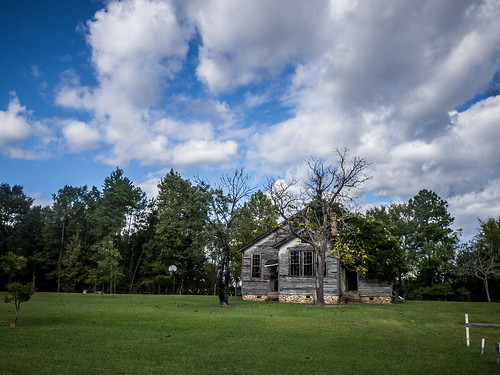
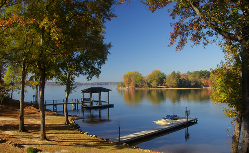
Elevation of 71 Century Dr, Ridgeway, SC, USA
Location: United States > South Carolina > Fairfield County > Ridgeway >
Longitude: -80.796345
Latitude: 34.369635
Elevation: 71m / 233feet
Barometric Pressure: 100KPa
Related Photos:
Topographic Map of 71 Century Dr, Ridgeway, SC, USA
Find elevation by address:

Places near 71 Century Dr, Ridgeway, SC, USA:
Rolling Hills Road
John G Richards Road
Liberty Hill
Old Field Rd, Lugoff, SC, USA
550 Timberlane Cir
Ridgeway Rd, Lugoff, SC, USA
5563 Us-21
Knights Hill Rd, Camden, SC, USA
413 Friendship Rd
1021 Sease Rd
Chestnut Rd, Elgin, SC, USA
967 Tookie Doo Ln
513 Us-21
Wildwood Ln, Lugoff, SC, USA
Ridgeway
1133 Grover Wilson Rd
US-21, Ridgeway, SC, USA
Lugoff
Knights Hill Road
Dick Hill Rd, Heath Springs, SC, USA
Recent Searches:
- Elevation of Corso Fratelli Cairoli, 35, Macerata MC, Italy
- Elevation of Tallevast Rd, Sarasota, FL, USA
- Elevation of 4th St E, Sonoma, CA, USA
- Elevation of Black Hollow Rd, Pennsdale, PA, USA
- Elevation of Oakland Ave, Williamsport, PA, USA
- Elevation of Pedrógão Grande, Portugal
- Elevation of Klee Dr, Martinsburg, WV, USA
- Elevation of Via Roma, Pieranica CR, Italy
- Elevation of Tavkvetili Mountain, Georgia
- Elevation of Hartfords Bluff Cir, Mt Pleasant, SC, USA
