Elevation of 66 E Hill Rd, Leyden, MA, USA
Location: United States > Massachusetts > Franklin County > Leyden >
Longitude: -72.605022
Latitude: 42.7062304
Elevation: 349m / 1145feet
Barometric Pressure: 97KPa
Elevation Map:
Satellite Map:
Related Photos:
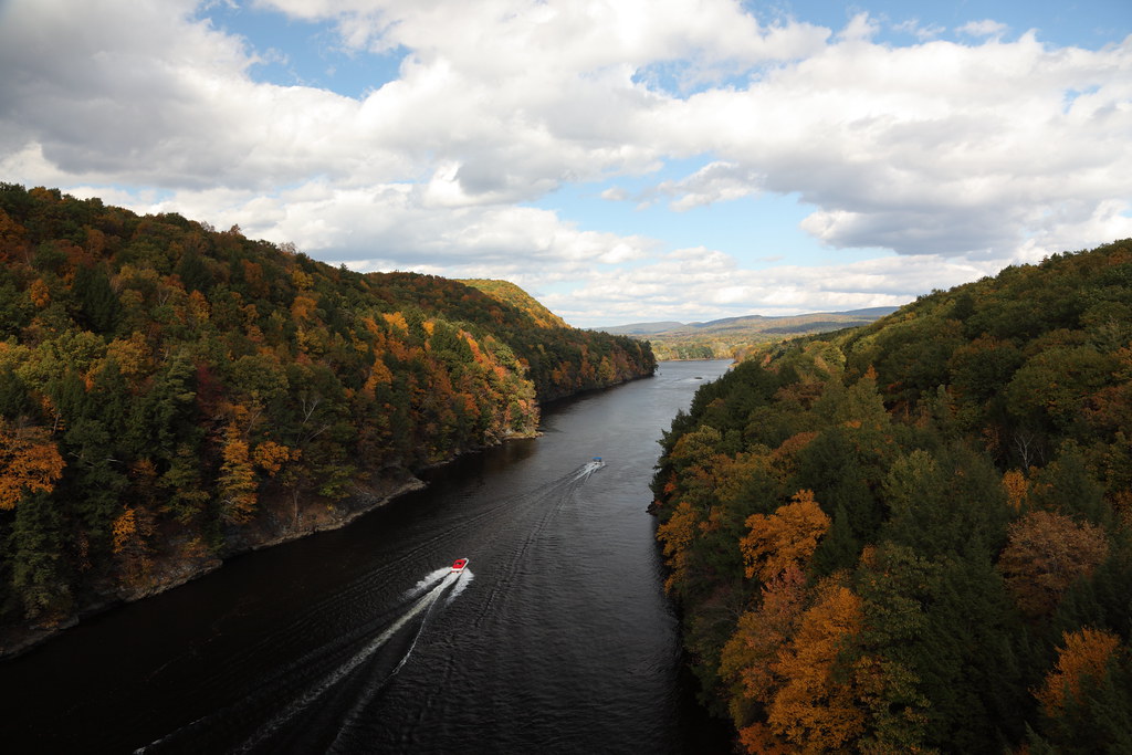
Gill, view from the French King Bridge
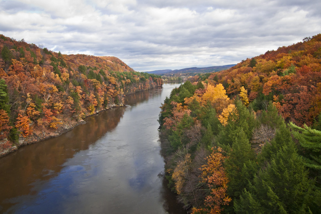
Autumn Foliage Scenery viewed from French King Bridge

summer weekend

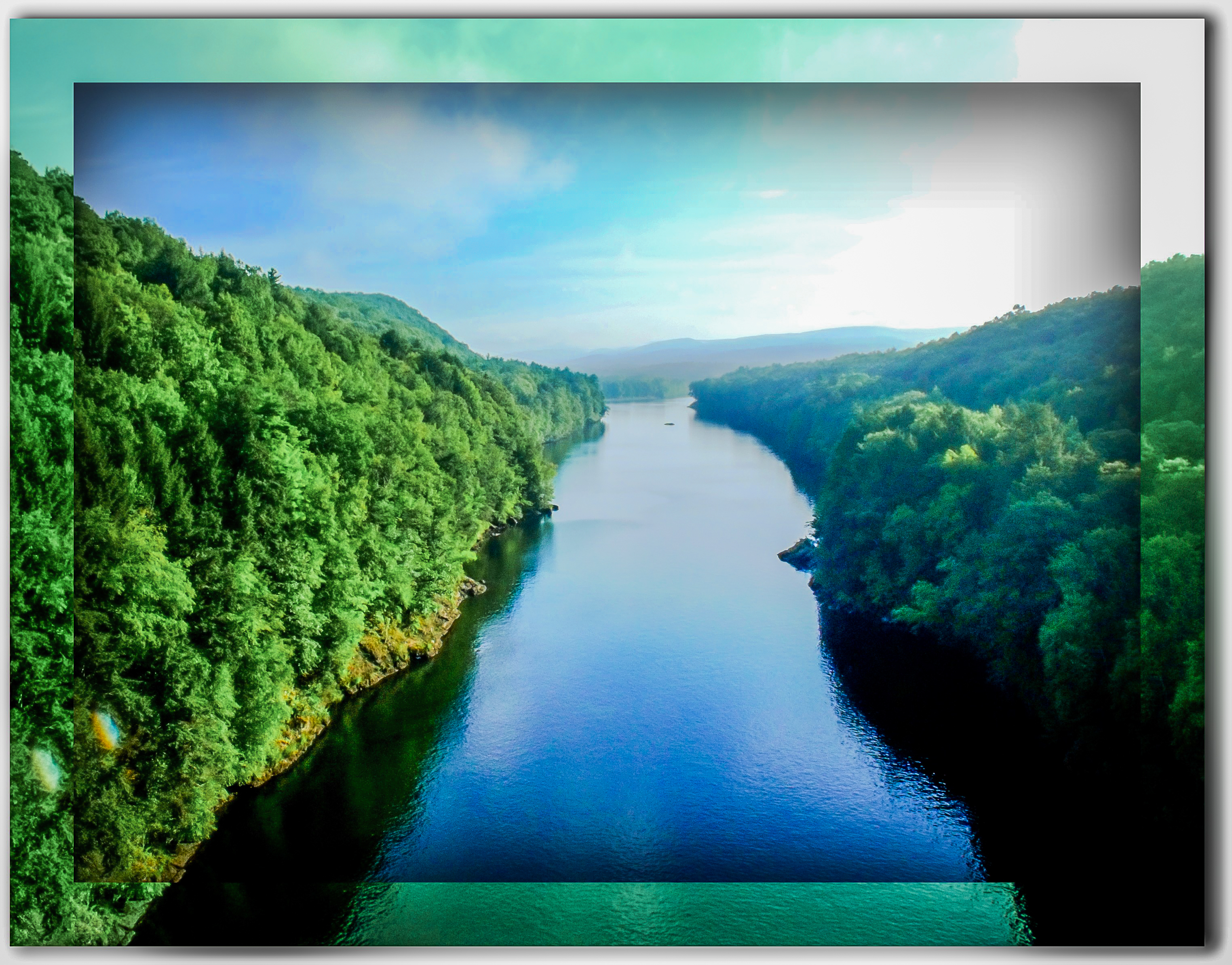
Connecticut River

French King Bridge, View

Old Man of the Falls

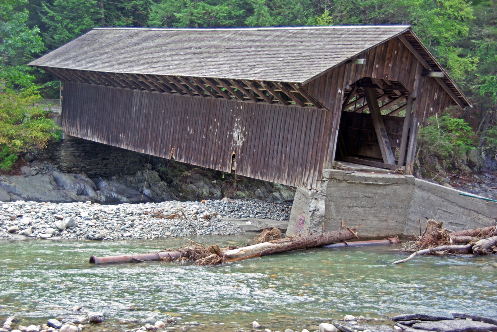
View through Bridge to East Portal to Hurricane Damaged Eunice Williams Covered Bridge

Commercial Heineken Bottle 1

Commercial North American Aviation P-51 Panorama

#gopro meet a gorgeous view. Road tripping with the fantastic #6D from the great folks at @lumoidit
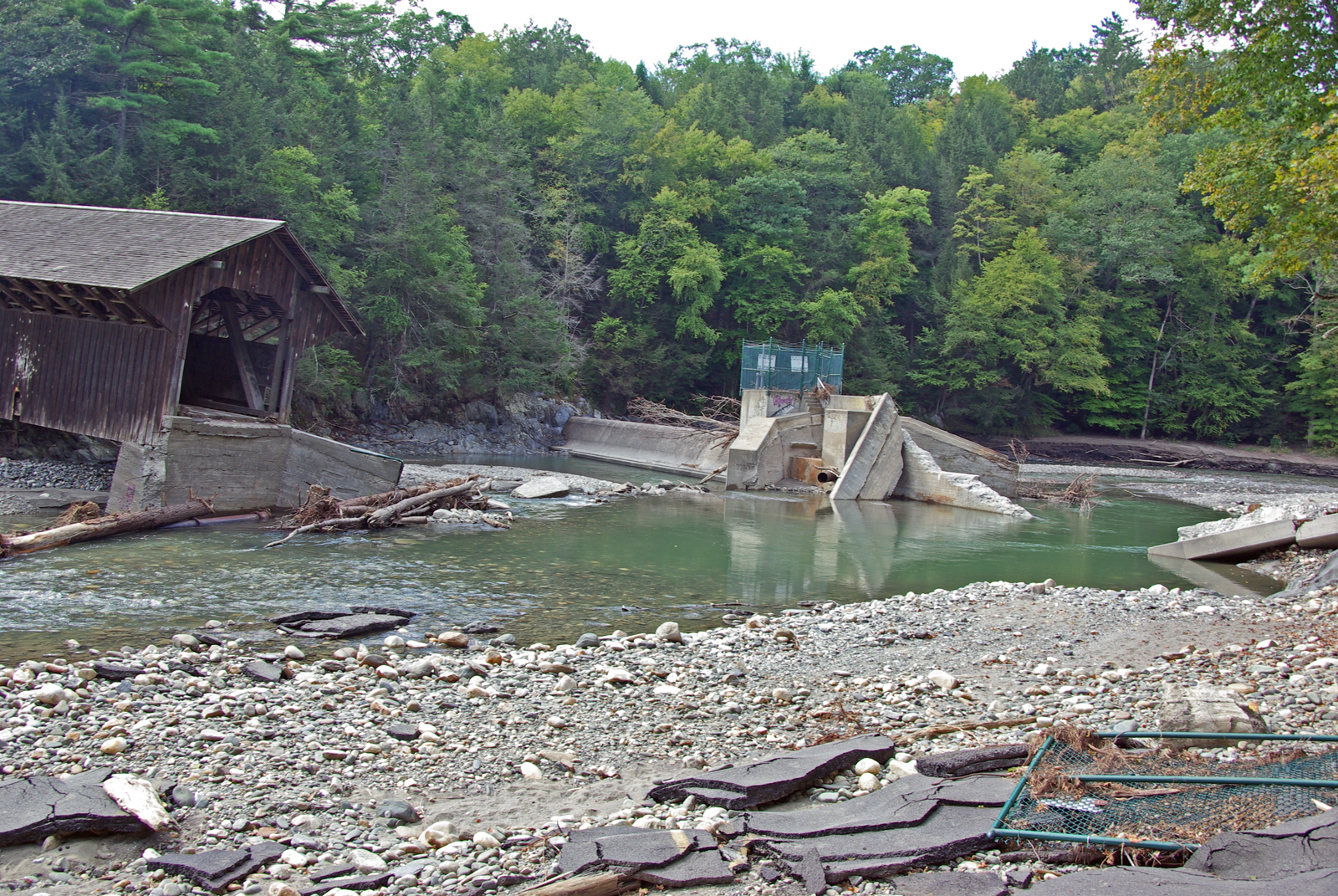
View from East Side to Hurricane Damaged Eunice Williams Covered Bridge

View from the Roundhouse
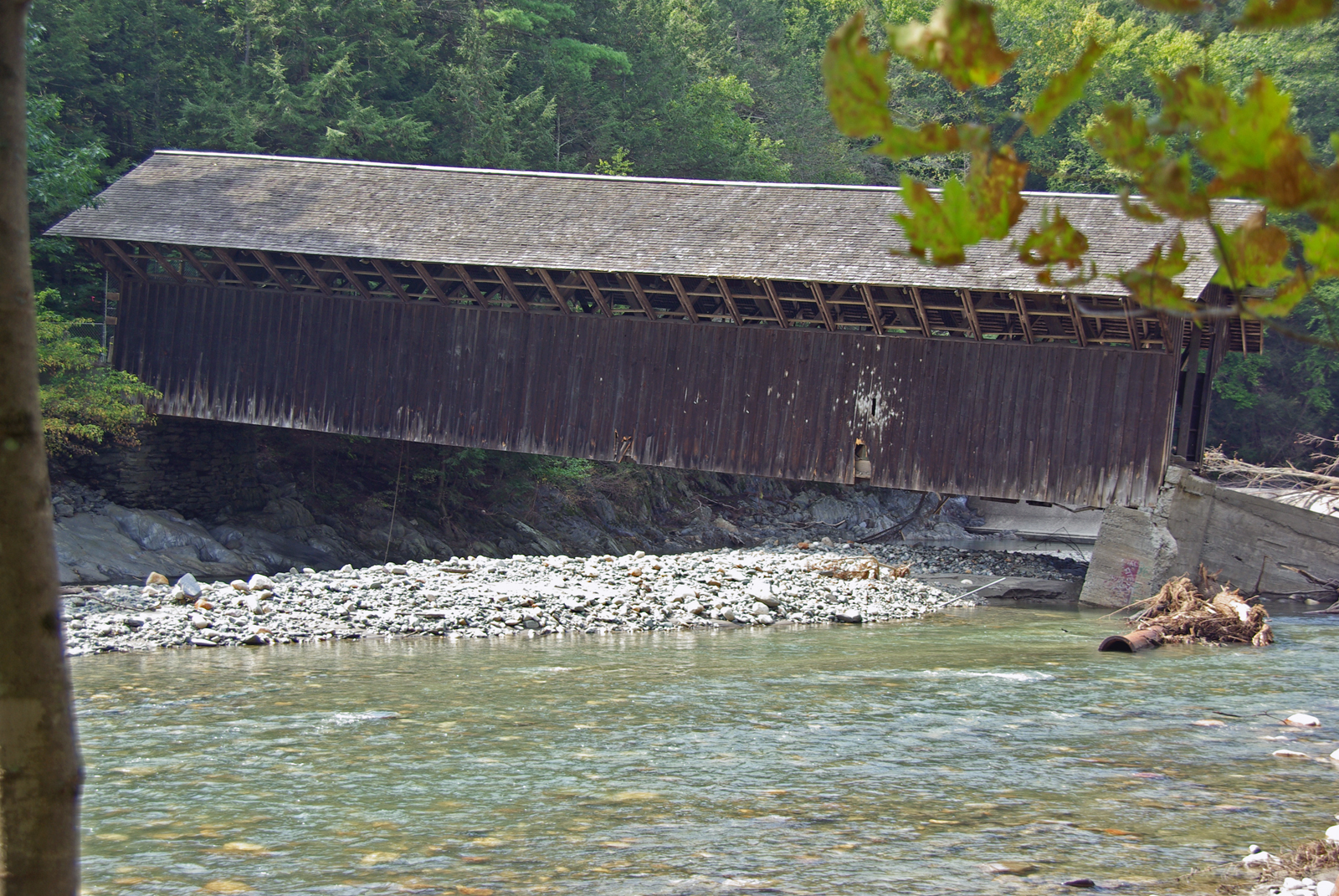
View from East Side to Hurricane Damaged Eunice Williams Covered Bridge

Far above the Pioneer Valley
View from East Side to Hurricane Damaged Eunice Williams Covered Bridge
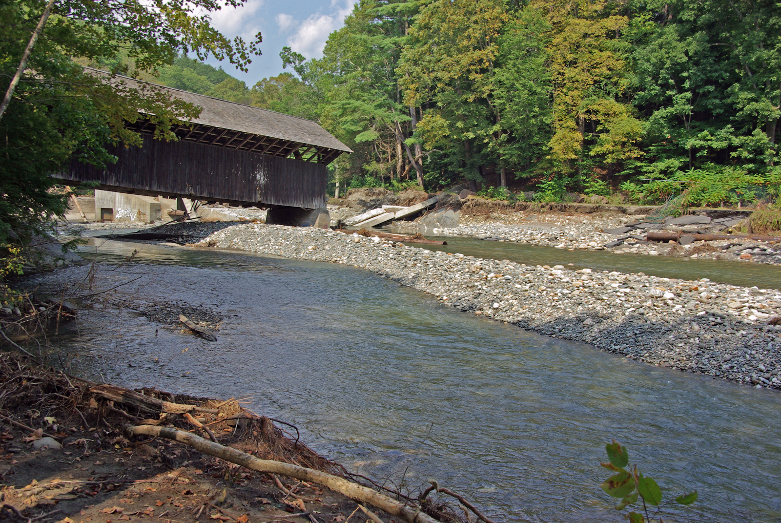
View Upriver from West Side to Hurricane Damaged Eunice Williams Covered Bridge

winning hand
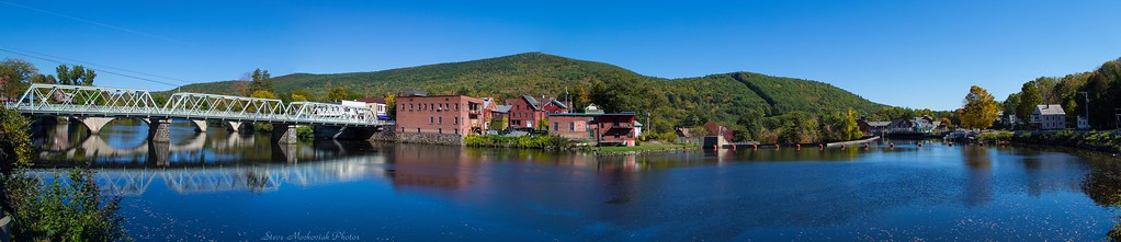
Shelburne Falls 0411-0417 Panorama

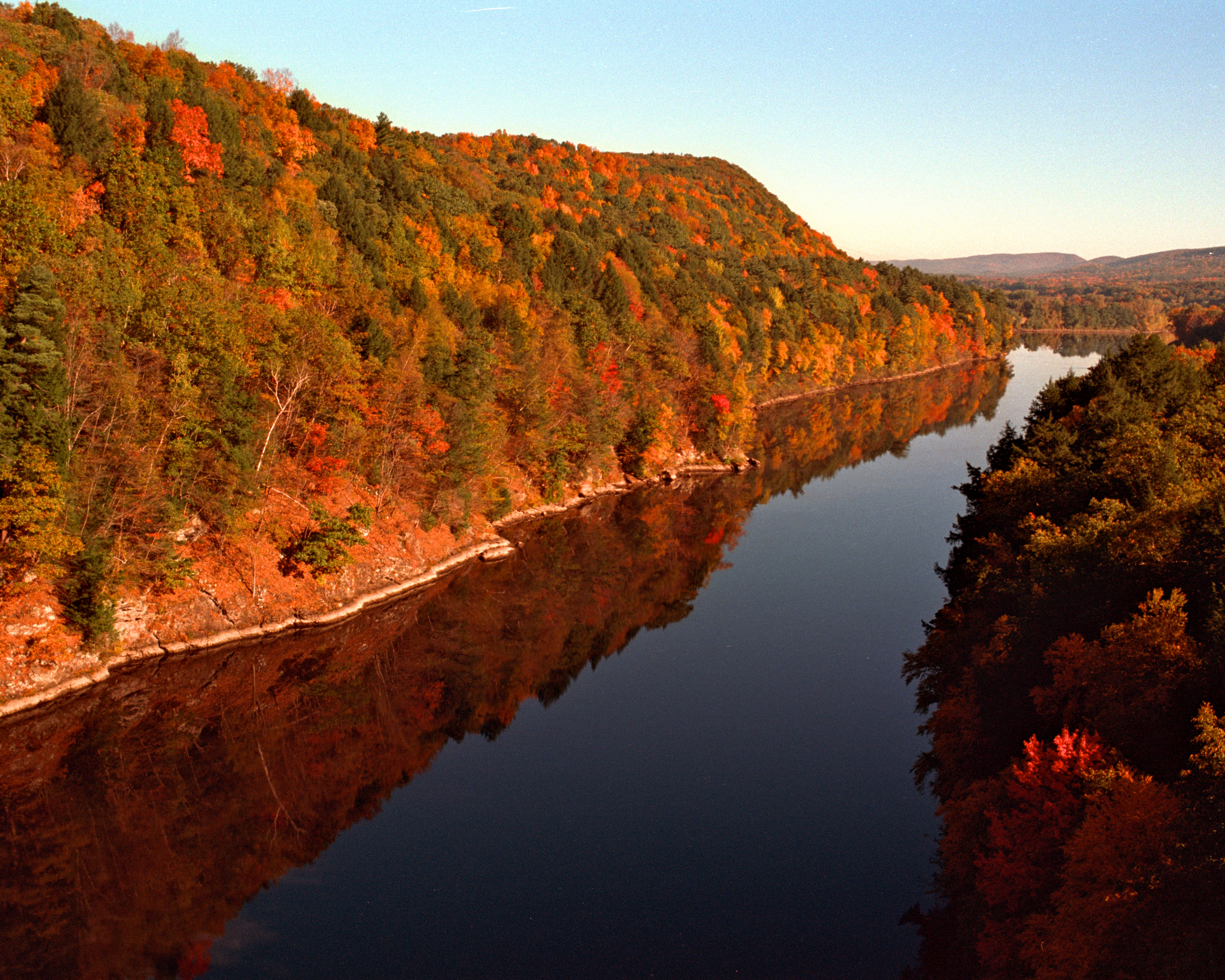
Panoramic Autumn Foliage Scenery viewed from French King Bridge

White Dahlia
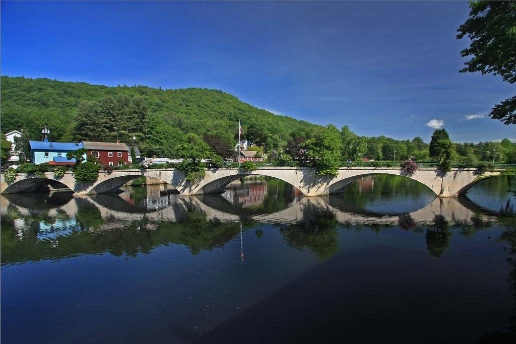
Bridge of Flowers

Shelburne Falls
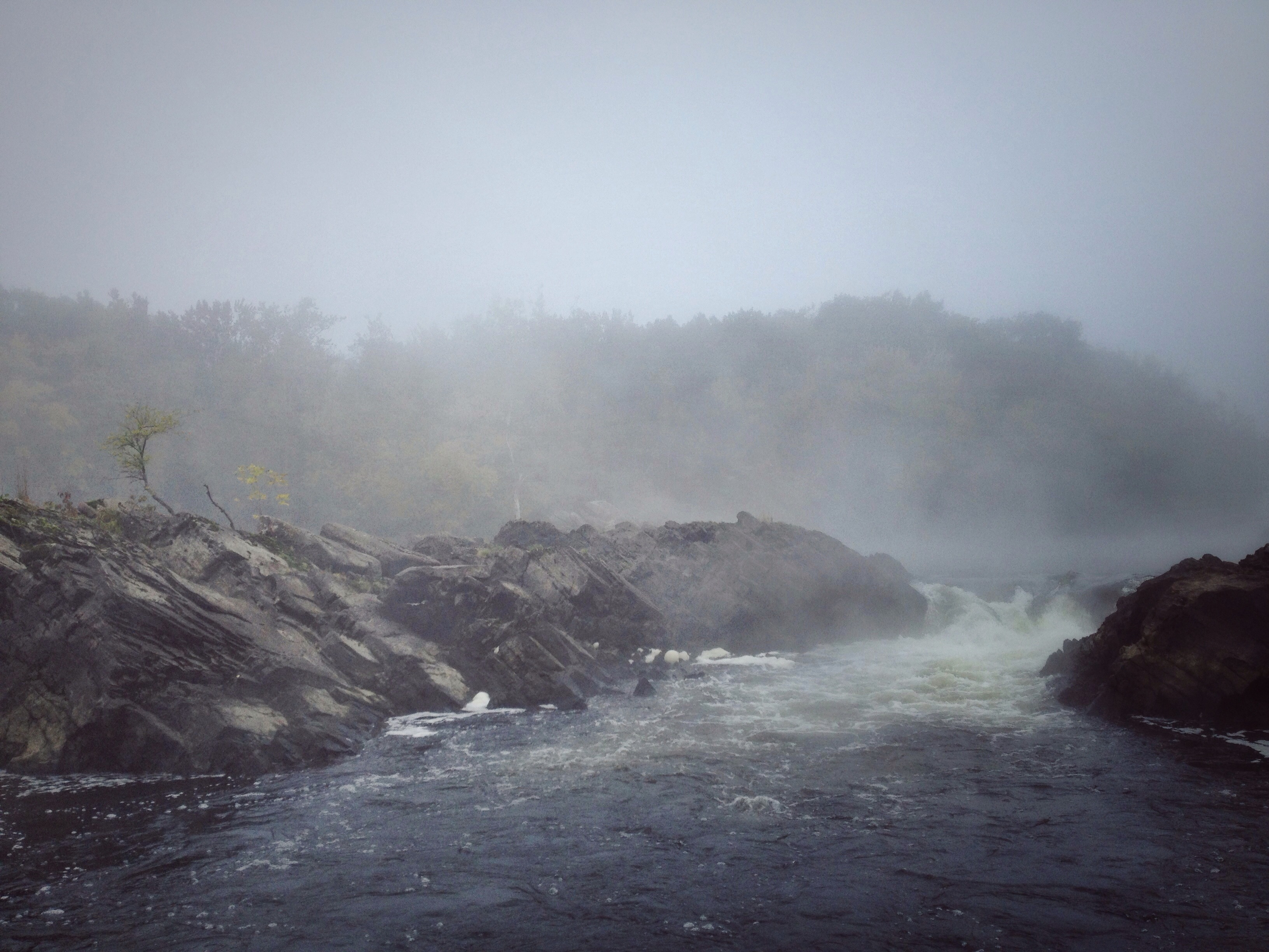
Rock Dam
#berkshires #newengland #nature-photography #nature #landscape #landscapephotography #landscape_captures #spring #landscape_lovers #beauty #fujifilm #fujifilm_xseries #massachusetts #spring #architecture #architecturephotography #architecturelovers #gree

Railroad Bridge
VTAutumn022.jpg
Colour on the Connecticut

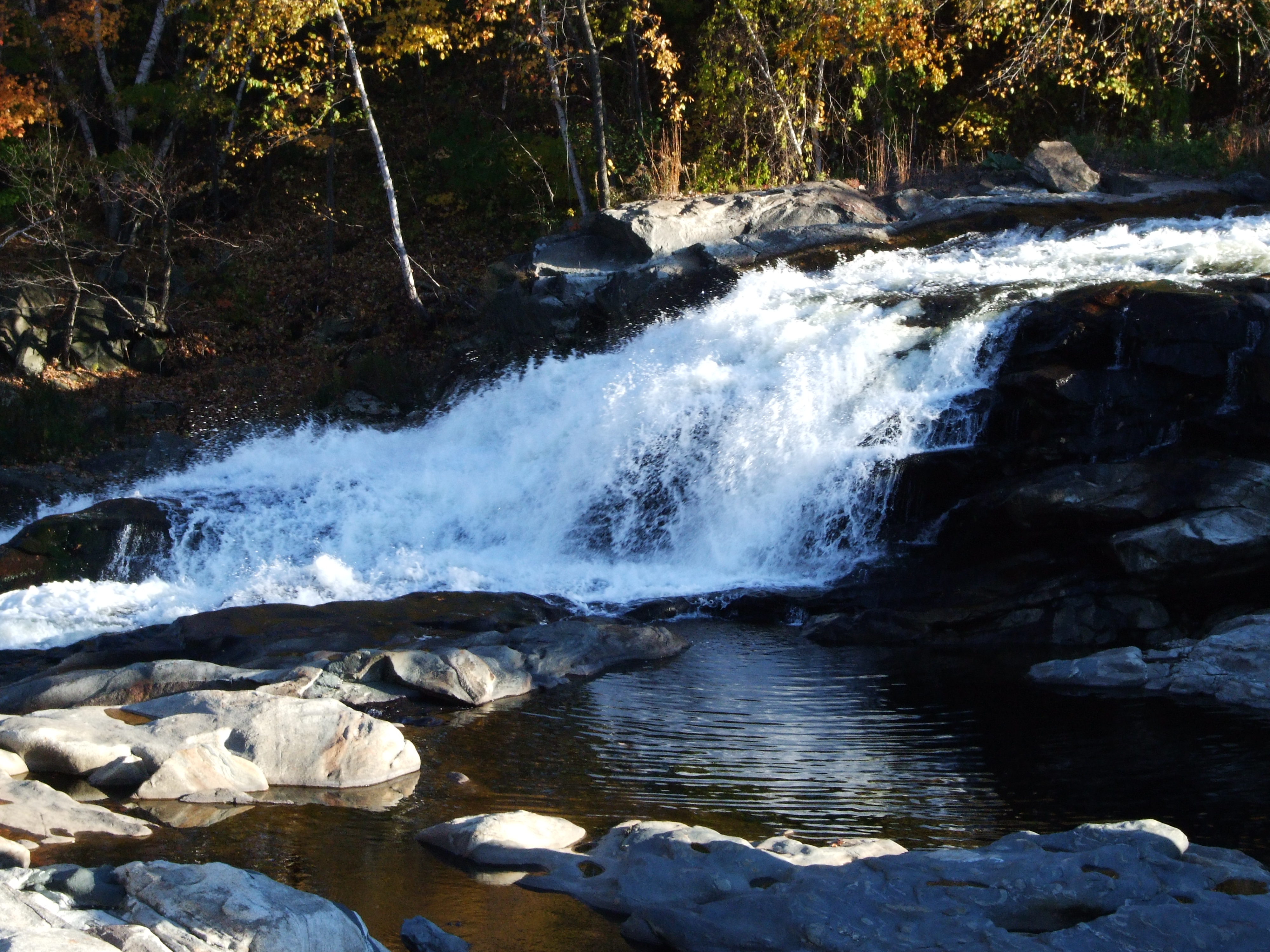
Salmon Falls at Shelburne Falls Ma
24 May 2014
VTAutumn023.jpg

Bridge of Flowers Shelburne Falls Ma
Holes in a hole #nature #Geology #touristy
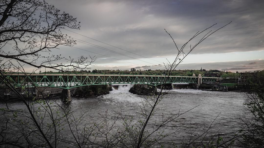
Hydro Canal

Panoramic from Mt. Tom
#adventureahead #newchapter #vtshots #dirtroads #spring #vermontshots my last day at @marlborocollege

Trailside Cascade

_DSC9821.jpg
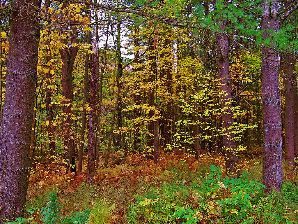
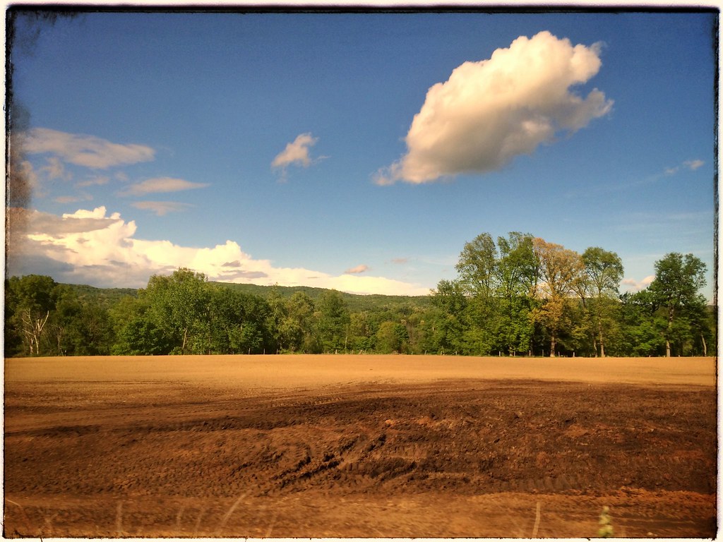
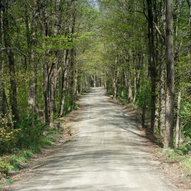
A Fall Day in Massachusetts
up connecticut
Topographic Map of 66 E Hill Rd, Leyden, MA, USA
Find elevation by address:

Places near 66 E Hill Rd, Leyden, MA, USA:
Leyden
Greenfield Road & West Leyden Road
160 N County Rd
53 S School House Rd
Eden Trail
379 Fox Hill Rd
160 George Lamb Rd
83 Greenfield Rd
521 W Leyden Rd
32 W Leyden Rd
66 Barton Rd
106 Barton Rd
62 Barton Heights
62 Barton Rd
61 Barton Heights
Avery Hill Road
Bernardston
431 Green River Rd
64 Shelburne Line Rd
19 Chapin Rd
Recent Searches:
- Elevation of Corso Fratelli Cairoli, 35, Macerata MC, Italy
- Elevation of Tallevast Rd, Sarasota, FL, USA
- Elevation of 4th St E, Sonoma, CA, USA
- Elevation of Black Hollow Rd, Pennsdale, PA, USA
- Elevation of Oakland Ave, Williamsport, PA, USA
- Elevation of Pedrógão Grande, Portugal
- Elevation of Klee Dr, Martinsburg, WV, USA
- Elevation of Via Roma, Pieranica CR, Italy
- Elevation of Tavkvetili Mountain, Georgia
- Elevation of Hartfords Bluff Cir, Mt Pleasant, SC, USA