Elevation of 65 Pleasant Hill Rd, Freeport, ME, USA
Location: United States > Maine > Cumberland County > Freeport > Freeport >
Longitude: -70.06553
Latitude: 43.872791
Elevation: 49m / 161feet
Barometric Pressure: 101KPa
Elevation Map:
Satellite Map:
Related Photos:

Summer Nights on Bailey Island

Misty Field 2
The Road to Oz
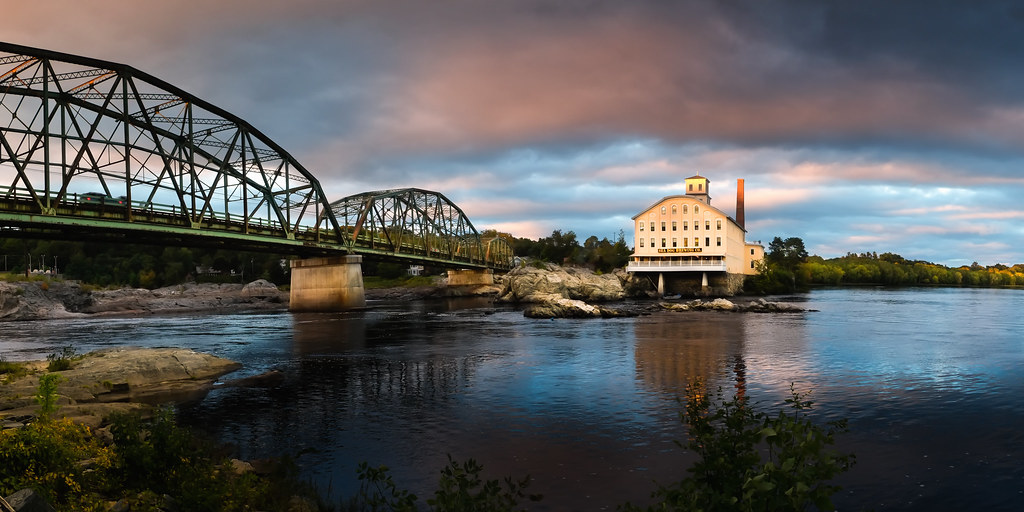
"Last Light" - Topsham, Maine, USA

River 8_28_09

Misty Field 1

Iron Flower
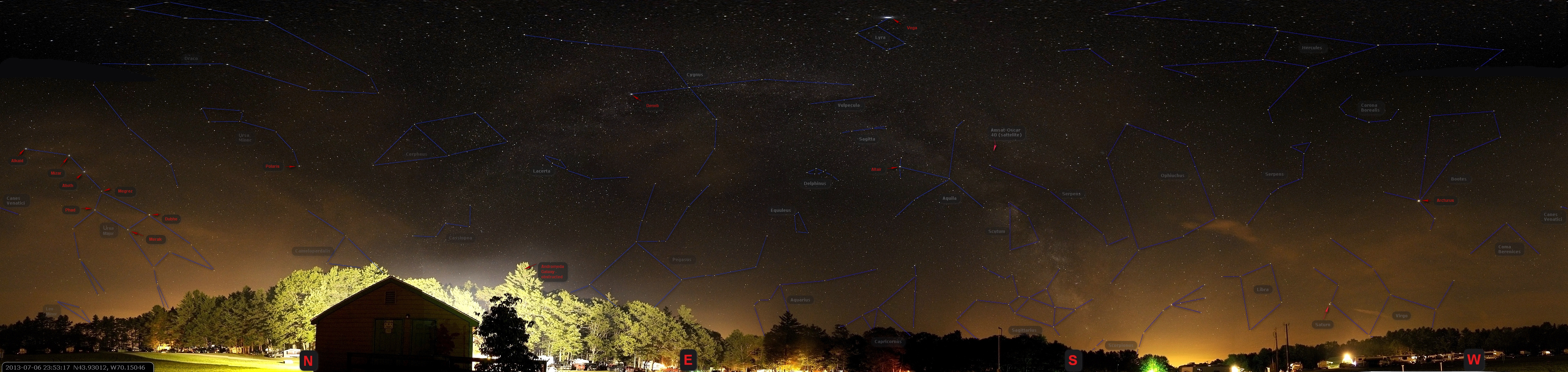
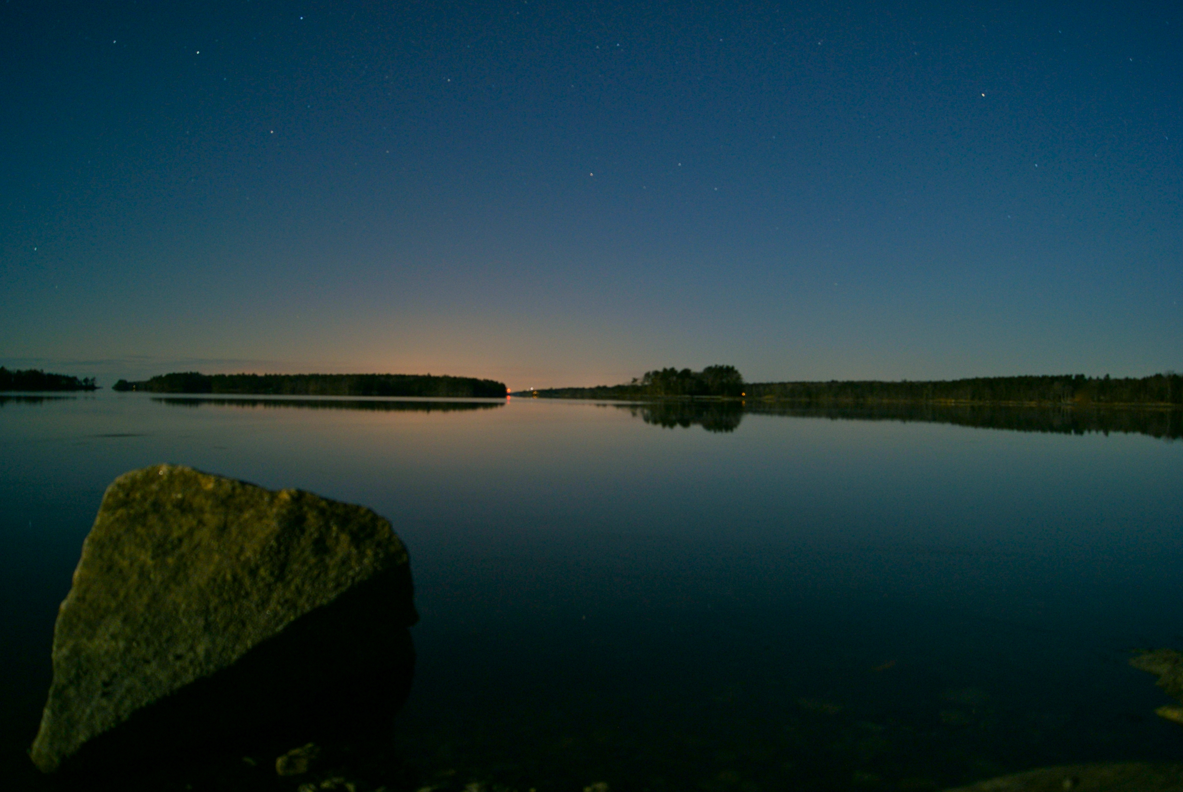
US-ME Nightsky Pano 2013-07-06 Constelations
View towards Cristina Bridge from Harpswell.

Side View
Super Moonshine: #13

Early morning view from the kayak

DSC_1496 Bradbury Mountain State Park - The Clouds Above

That Cooler tho
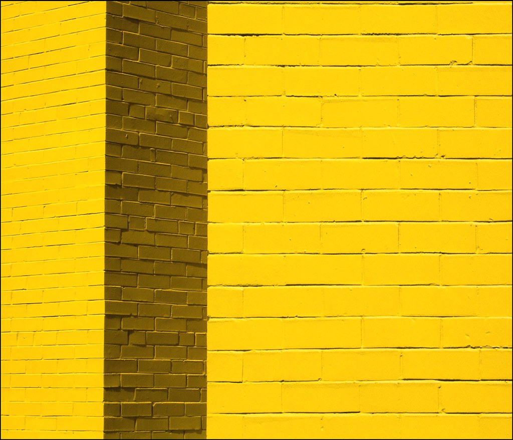
Contrasting Architects
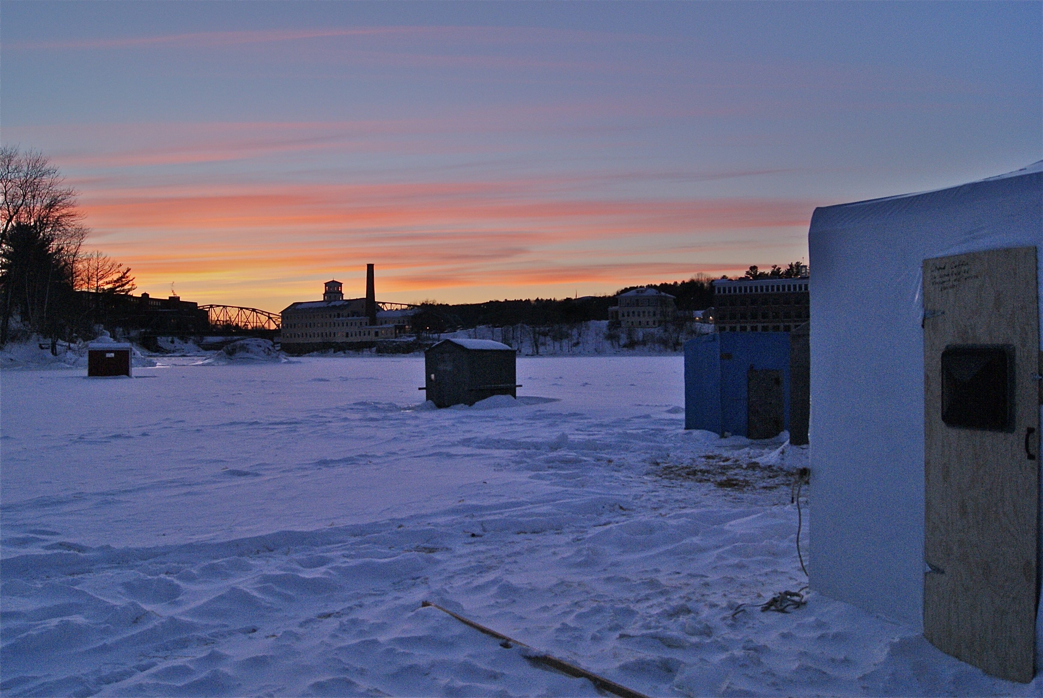
Ice Fishing Village
Where are you sleeping tonight? Cause this is the view from our tent.
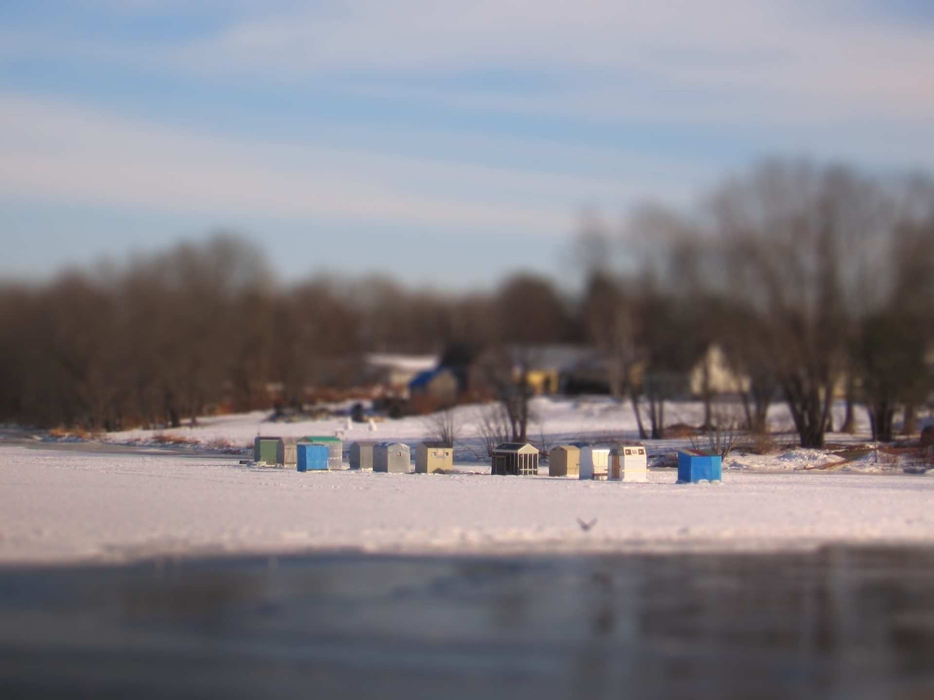
Ice Shack Tilt Shift

Overall View
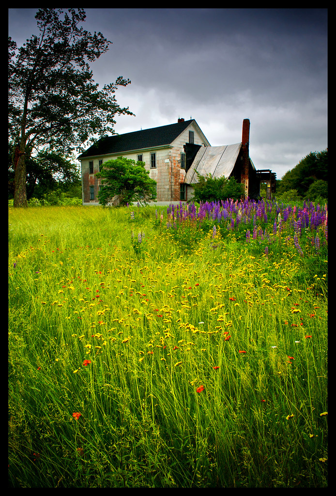
Abandoned in Maine

Blocked view
Cloud Shadows

Fresh Lobster

Mornin' cows
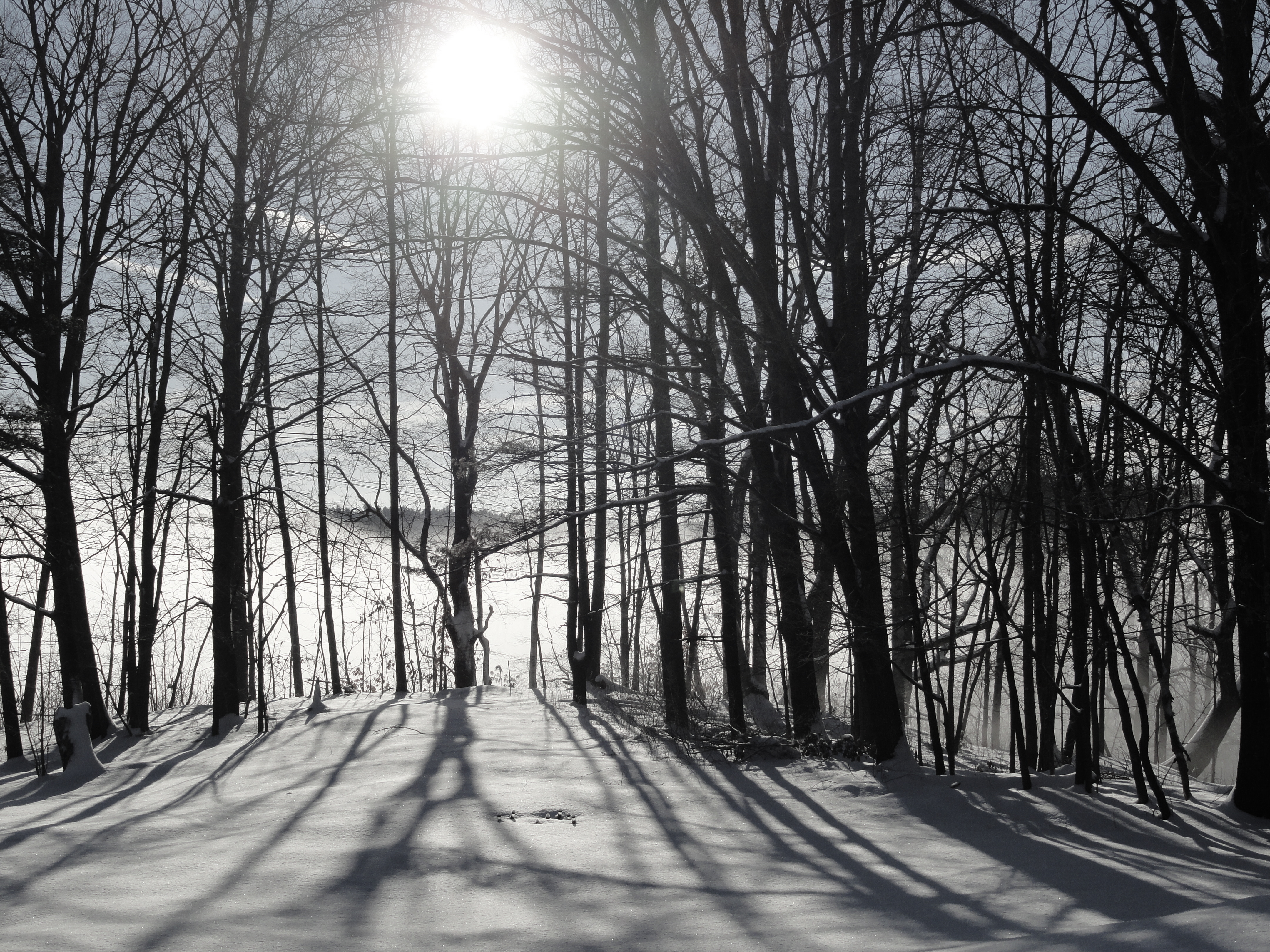
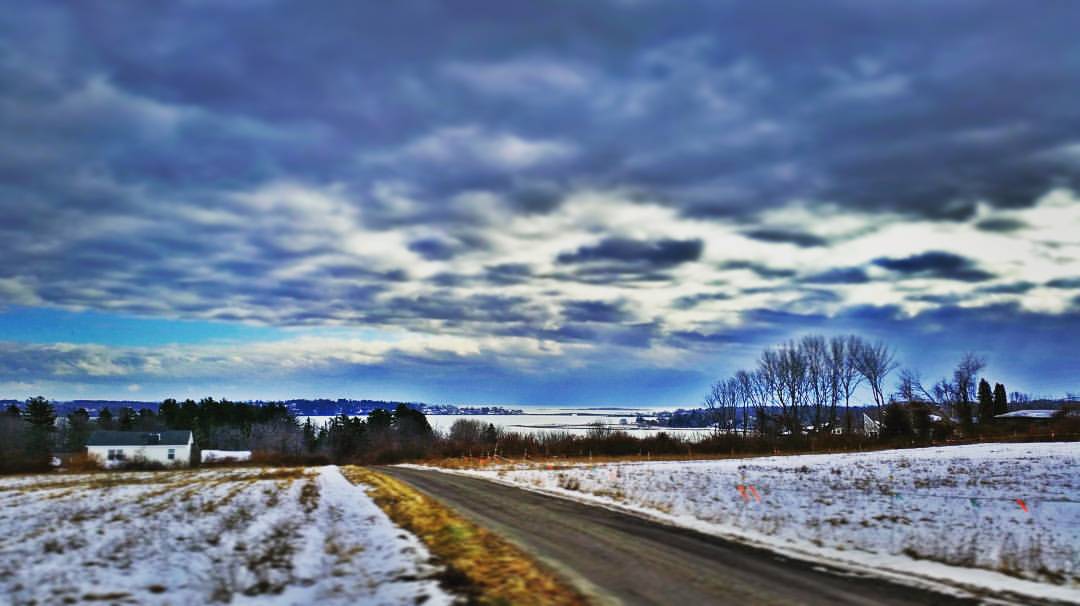
DSC07654 Maine Winter Morning

Lunch by the marsh

Mountainous clouds
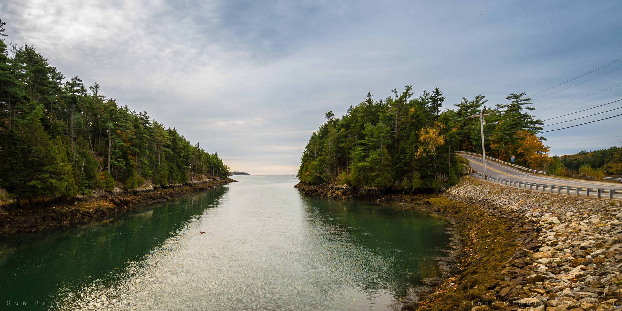
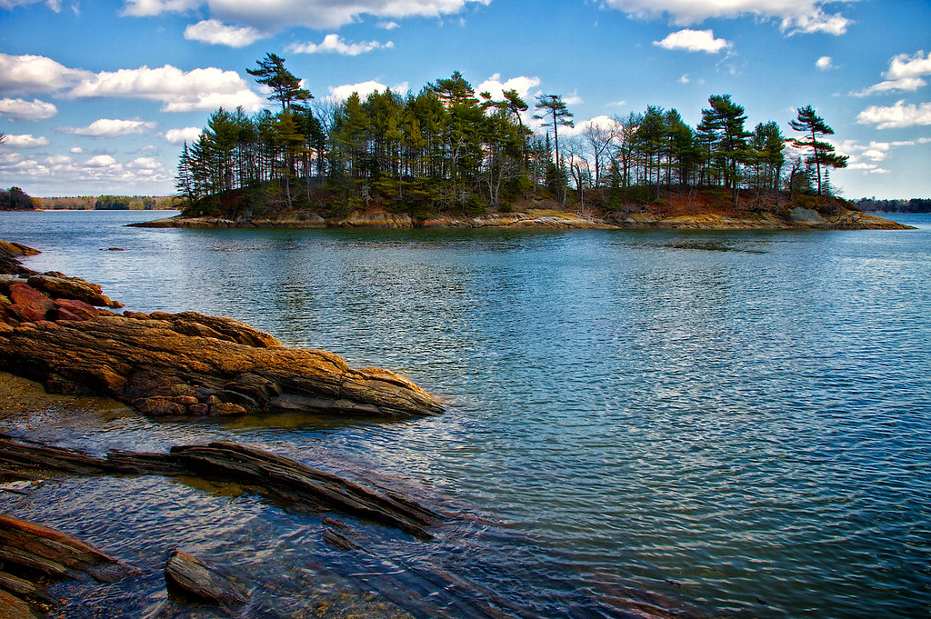
Gun Point Cove - Maine
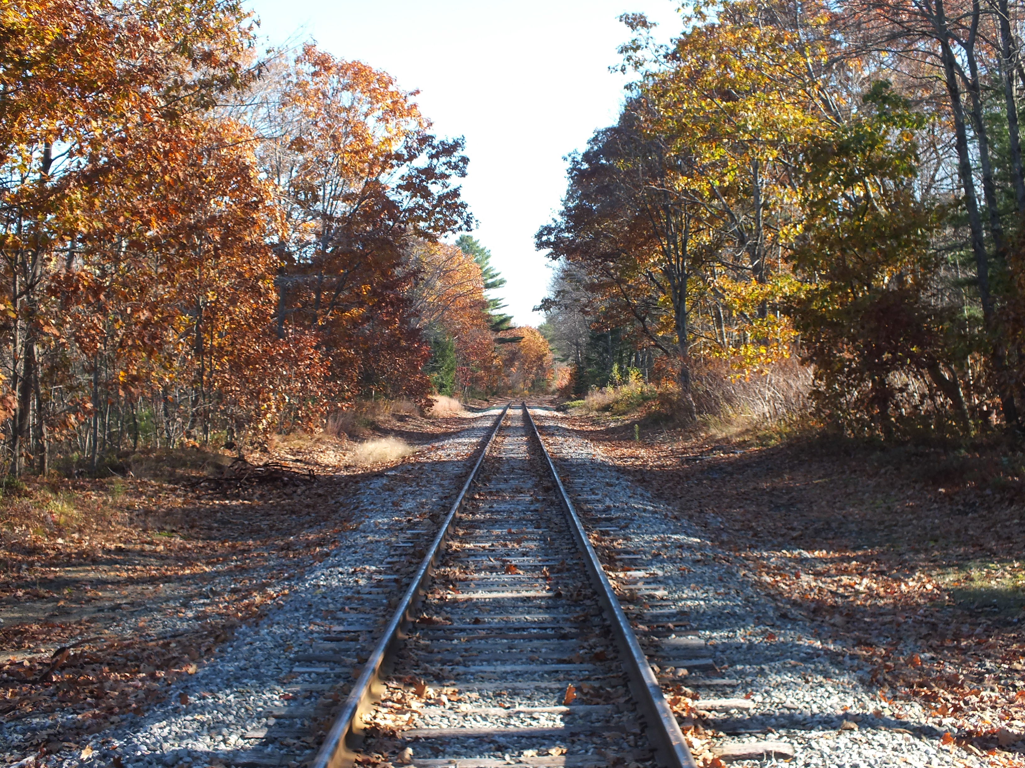
Quiet Railroad Tracks
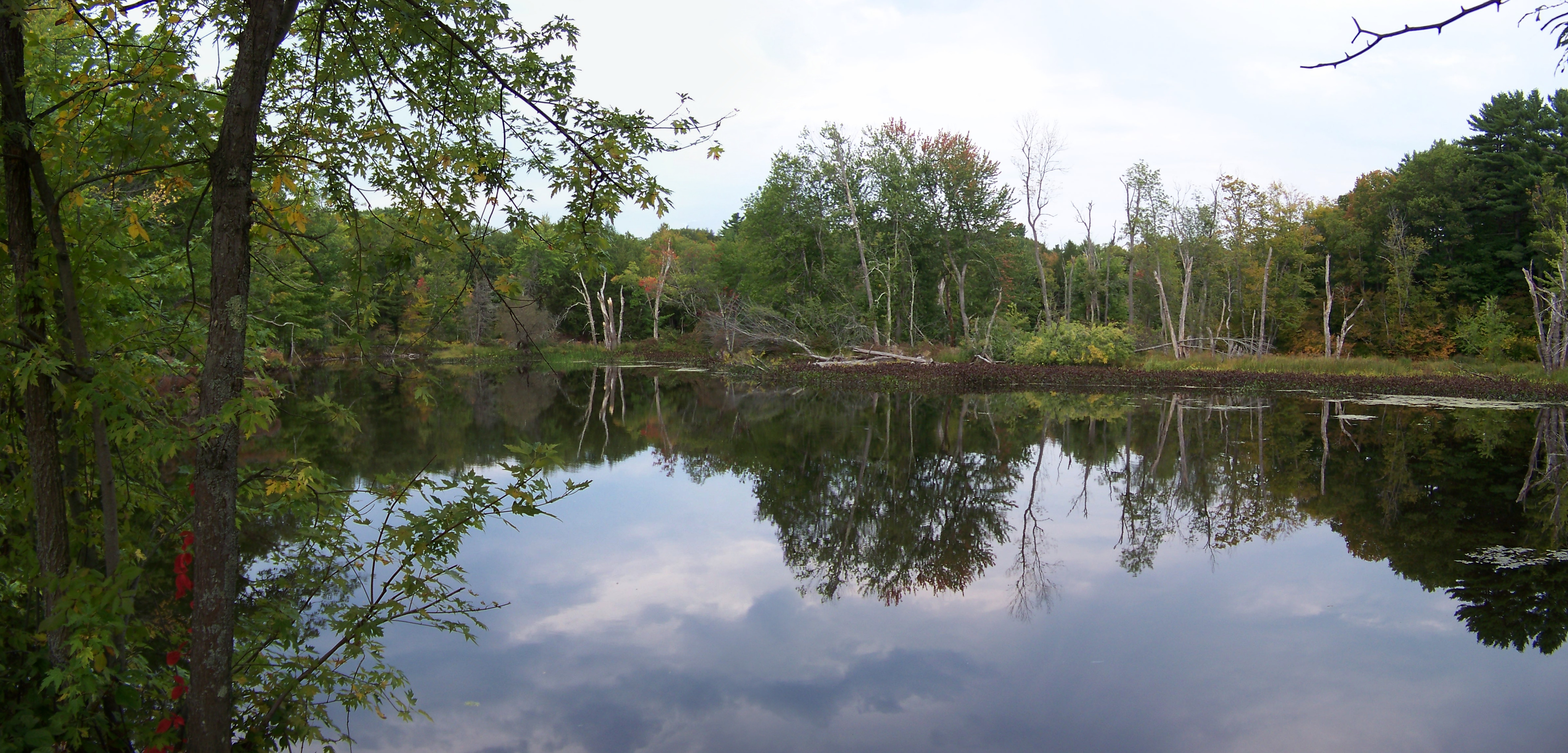
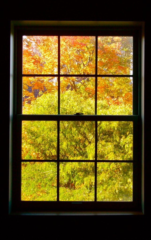
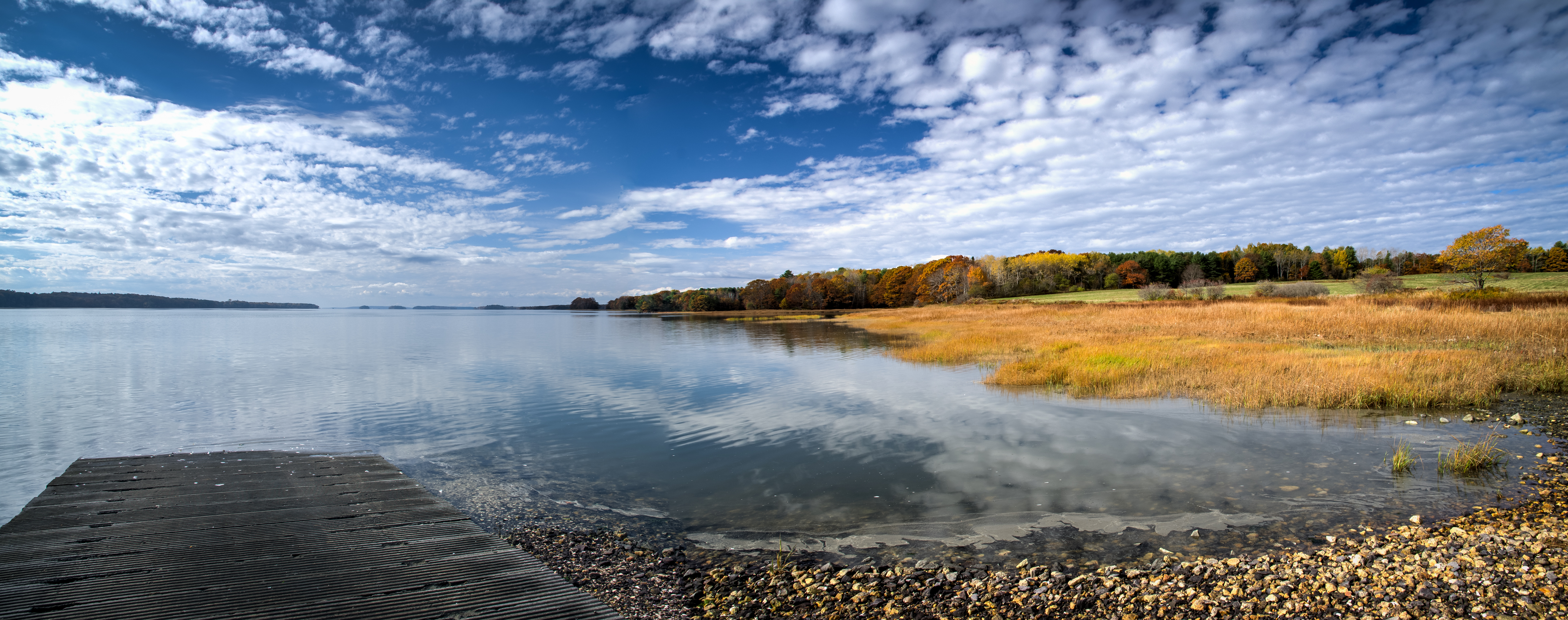
Autumn Reflections
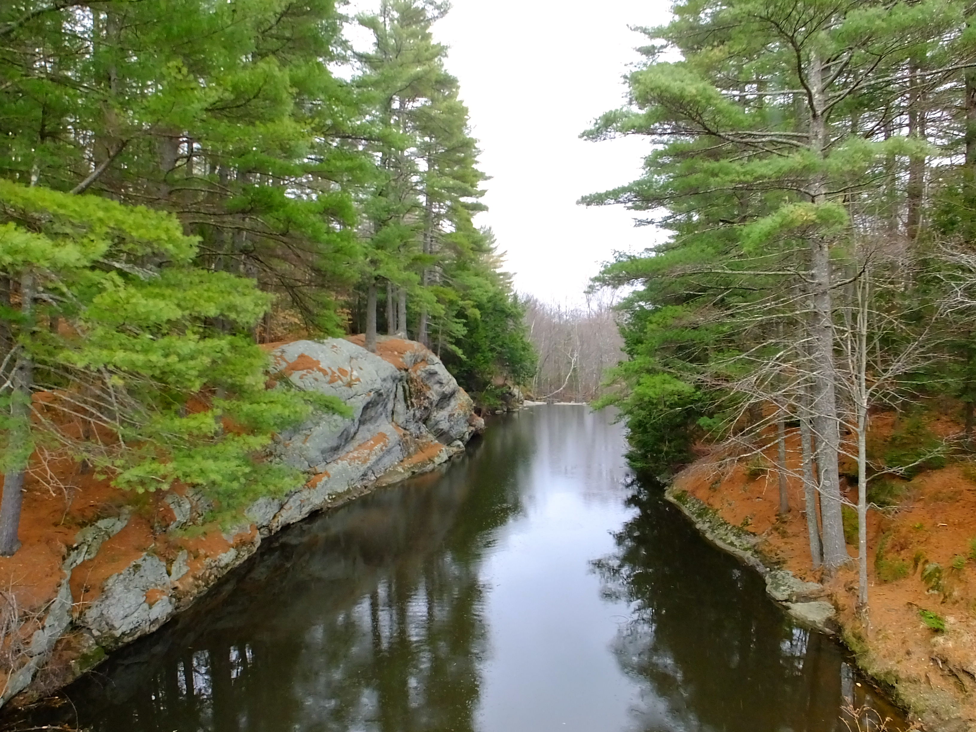
Runaround Pond

in search of the miraculous DSC_0206_2356
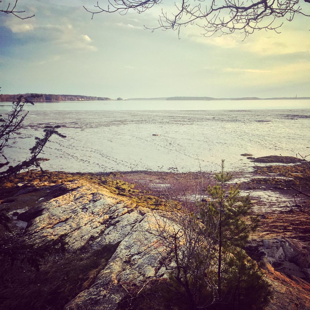
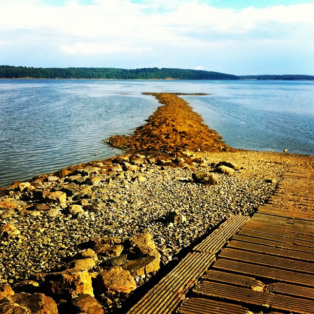
wharton point

DSCF7584.jpg
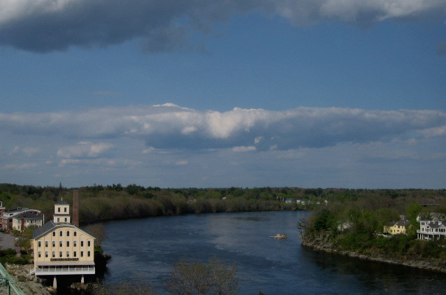
Clouds and River
#simpsonspoint #Maine #seaweed
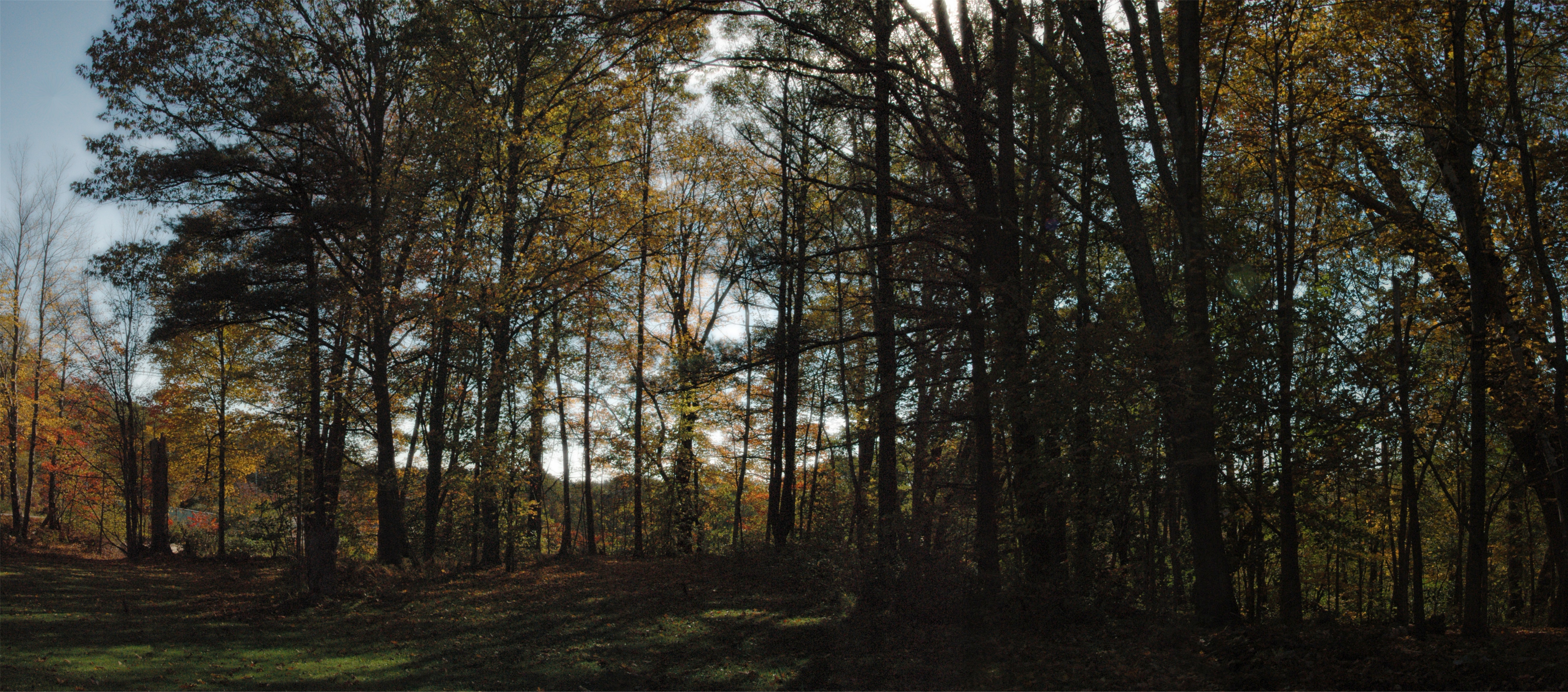
Autumn Day October 2013 Panoramic Edit
Topographic Map of 65 Pleasant Hill Rd, Freeport, ME, USA
Find elevation by address:

Places near 65 Pleasant Hill Rd, Freeport, ME, USA:
Fernald Road
92 Bow St
25 Surry Ln
3 East St
54 Lower Flying Point Rd
Freeport
Freeport
10 Gay Dr
73 South St
15 Us-1
Freeport
25 Shore Dr
59 Koehling Dr
400 Pownal Rd
66 Durham Rd
Quahog Lane
71 Merganser Way, Freeport, ME, USA
83 S Freeport Rd
2 Harraseeket Rd
2 Harraseeket Rd
Recent Searches:
- Elevation of Corso Fratelli Cairoli, 35, Macerata MC, Italy
- Elevation of Tallevast Rd, Sarasota, FL, USA
- Elevation of 4th St E, Sonoma, CA, USA
- Elevation of Black Hollow Rd, Pennsdale, PA, USA
- Elevation of Oakland Ave, Williamsport, PA, USA
- Elevation of Pedrógão Grande, Portugal
- Elevation of Klee Dr, Martinsburg, WV, USA
- Elevation of Via Roma, Pieranica CR, Italy
- Elevation of Tavkvetili Mountain, Georgia
- Elevation of Hartfords Bluff Cir, Mt Pleasant, SC, USA