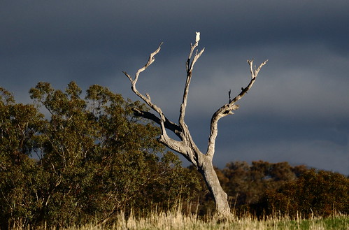
Elevation of 58 Cornella-Toolleen Rd, Toolleen VIC, Australia
Location: Australia > Victoria > Campaspe Shire > Toolleen >
Longitude: 144.688885
Latitude: -36.718779
Elevation: 188m / 617feet
Barometric Pressure: 99KPa
Related Photos:
Topographic Map of 58 Cornella-Toolleen Rd, Toolleen VIC, Australia
Find elevation by address:

Places near 58 Cornella-Toolleen Rd, Toolleen VIC, Australia:
Toolleen
Costerfield
1097-1099 Heathcote-north Costerfield Rd
Axe Creek
11 Patons Rd
Greater Bendigo City
Ascot
45 Rennie St
22 Caulfield Dr
Huntly
252 Burgoyne St
54 Elandra Dr
49 Raglan St
Kennington
Callaghan Street
Jackass Flat
17 Evergreen Blvd
Bonnington Street
Bendigo
Rosalind Park
Recent Searches:
- Elevation of Corso Fratelli Cairoli, 35, Macerata MC, Italy
- Elevation of Tallevast Rd, Sarasota, FL, USA
- Elevation of 4th St E, Sonoma, CA, USA
- Elevation of Black Hollow Rd, Pennsdale, PA, USA
- Elevation of Oakland Ave, Williamsport, PA, USA
- Elevation of Pedrógão Grande, Portugal
- Elevation of Klee Dr, Martinsburg, WV, USA
- Elevation of Via Roma, Pieranica CR, Italy
- Elevation of Tavkvetili Mountain, Georgia
- Elevation of Hartfords Bluff Cir, Mt Pleasant, SC, USA


