Elevation of 52 Suwannee Ave, Panacea, FL, USA
Location: United States > Florida > Liberty County > Panacea >
Longitude: -84.386638
Latitude: 30.016284
Elevation: 2m / 7feet
Barometric Pressure: 101KPa
Elevation Map:
Satellite Map:
Related Photos:

I, Solitary Soul, Eye Sole, A Tree, See By Sea - IMRAN™ -- 500+ Views! Explored!

Bald Point State Park & Alligator Point

Bud anyone?
I miss this view

St. Marks

Shepherd Spring (Wakulla County, FL)

Angelo and Son's Seafood Restaurant

The view from the patio at Angelo's. Panacea Florida

Lunch at Angelo's & Sons at Ochlockonee Bay near Panacea, FL

Low tide morning, day six. Last morning. Up before the sun, rewarded with an amazing view of the beach and the water. Ready to head home, though. #70d #dslr

View from Angelo and Sons, Ochlockanee

This was my #sunset view over #OchlockneeBay driving the #Jeep home #topDown #DoorsOff #nofilter #wx #jeeplife

IN THE FIELD...

Wakulla Beach
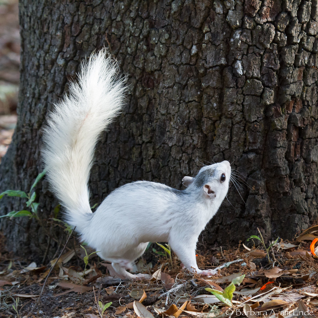
White Squirrel - not an albino

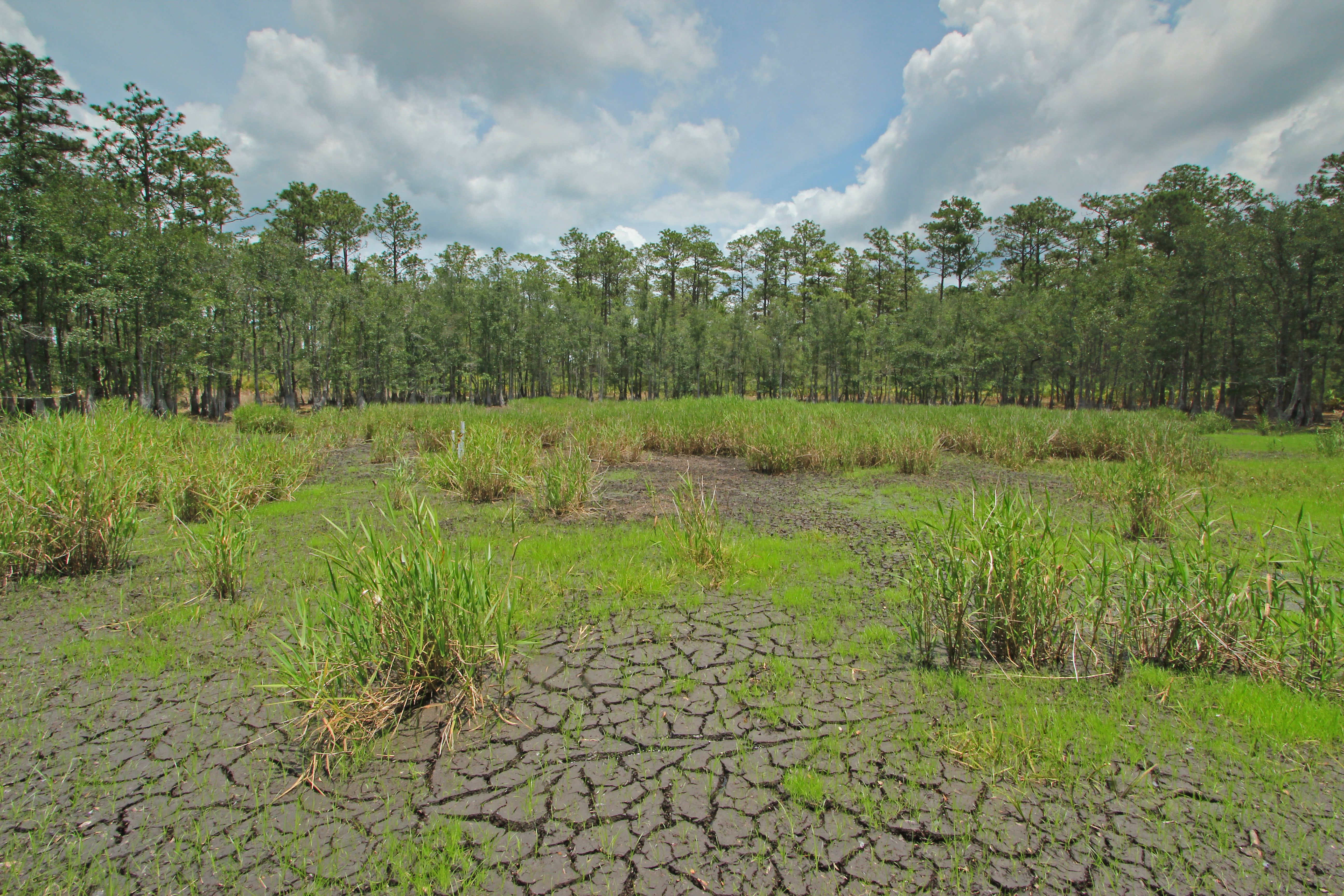
Corner Pond, St. Marks National Wildlife Refuge, Wakulla County, Florida 10
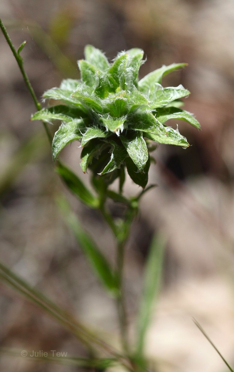
Gamochaeta sp?

Fishing Pier at Dusk

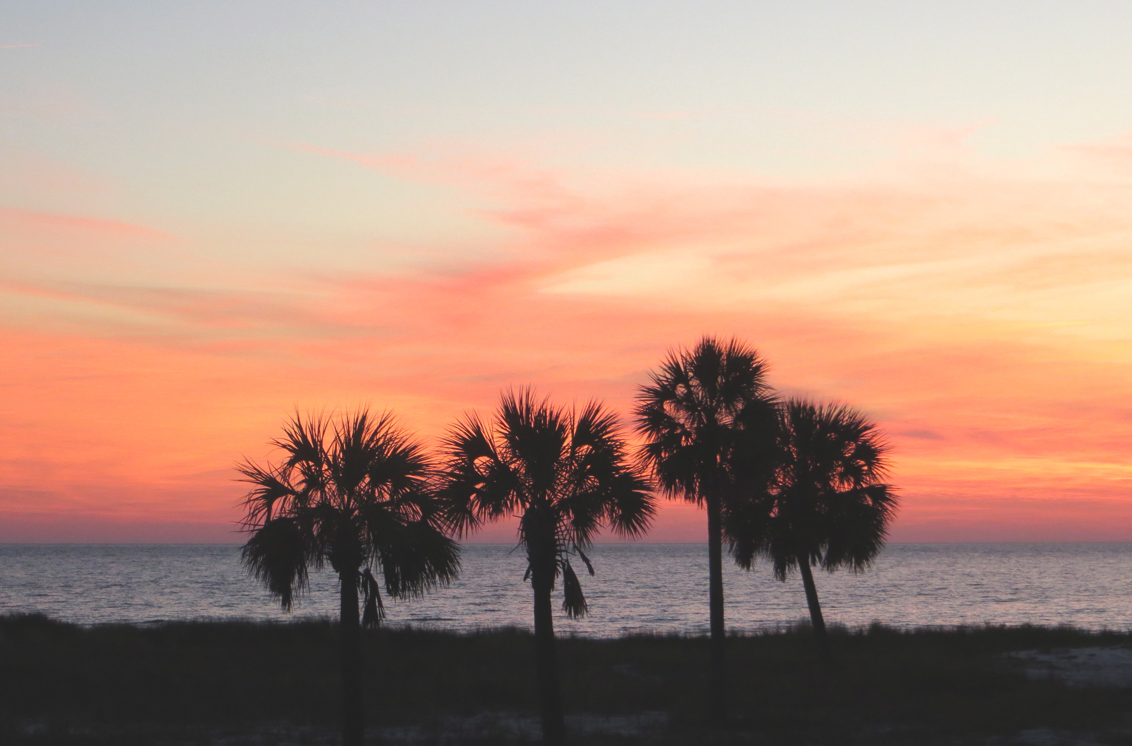
Gulf of Mexico sunset

Panacea Bridge over Ochlockonee Bay at Dusk

Fishing Pier

Panama City Beach

St. Marks
Corner Pond, St. Marks National Wildlife Refuge, Wakulla County, Florida 5
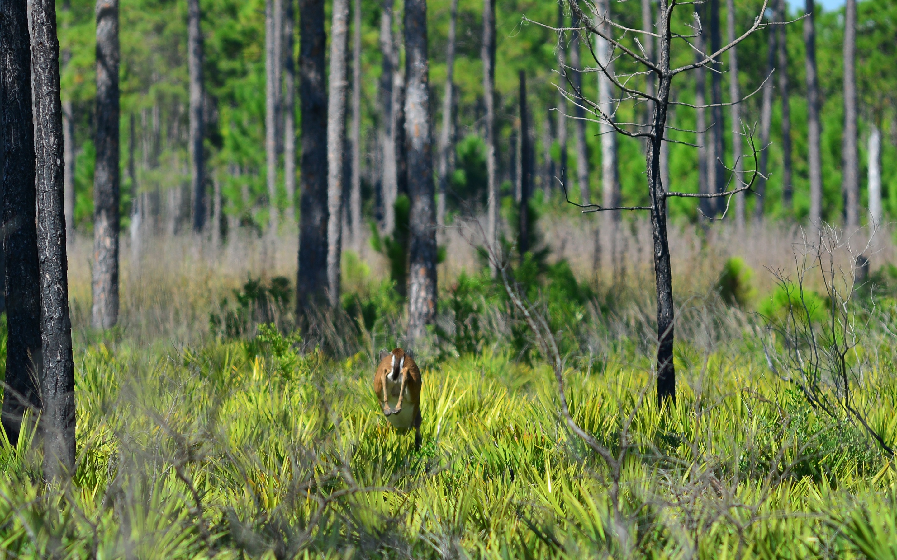
Deer 1

Corner Pond, St. Marks National Wildlife Refuge, Wakulla County, Florida 1

Beautiful stand of rattlesnake master

Low tide at Alligator Point

Shepherd Spring (Wakulla County, FL)

Twilight Low Tide

Palm Cathedral Trail

St. Marks

Forgotten Coast
Topographic Map of 52 Suwannee Ave, Panacea, FL, USA
Find elevation by address:

Places near 52 Suwannee Ave, Panacea, FL, USA:
266 Chattahoochee St
158 Levy Bay Rd
4 Suwannee Ave
1089 Coastal Hwy
39 Aucilla St
13 Aucilla St
60 Harrison St
42 Harrison St
Tower Road
196 Tower Rd
81 Otter Lake Rd
1402 Coastal Hwy
1402 Fl-30
120 Francis St
103 Francis St
102 Francis St
Panacea
25 Lucy Ln
70 Fishing Fool St
14 Lake Ave
Recent Searches:
- Elevation of Corso Fratelli Cairoli, 35, Macerata MC, Italy
- Elevation of Tallevast Rd, Sarasota, FL, USA
- Elevation of 4th St E, Sonoma, CA, USA
- Elevation of Black Hollow Rd, Pennsdale, PA, USA
- Elevation of Oakland Ave, Williamsport, PA, USA
- Elevation of Pedrógão Grande, Portugal
- Elevation of Klee Dr, Martinsburg, WV, USA
- Elevation of Via Roma, Pieranica CR, Italy
- Elevation of Tavkvetili Mountain, Georgia
- Elevation of Hartfords Bluff Cir, Mt Pleasant, SC, USA