Elevation of 81 Otter Lake Rd, Panacea, FL, USA
Location: United States > Florida > Liberty County > Panacea >
Longitude: -84.394133
Latitude: 30.0283787
Elevation: 3m / 10feet
Barometric Pressure: 101KPa
Elevation Map:
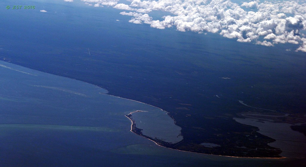
Satellite Map:
Related Photos:
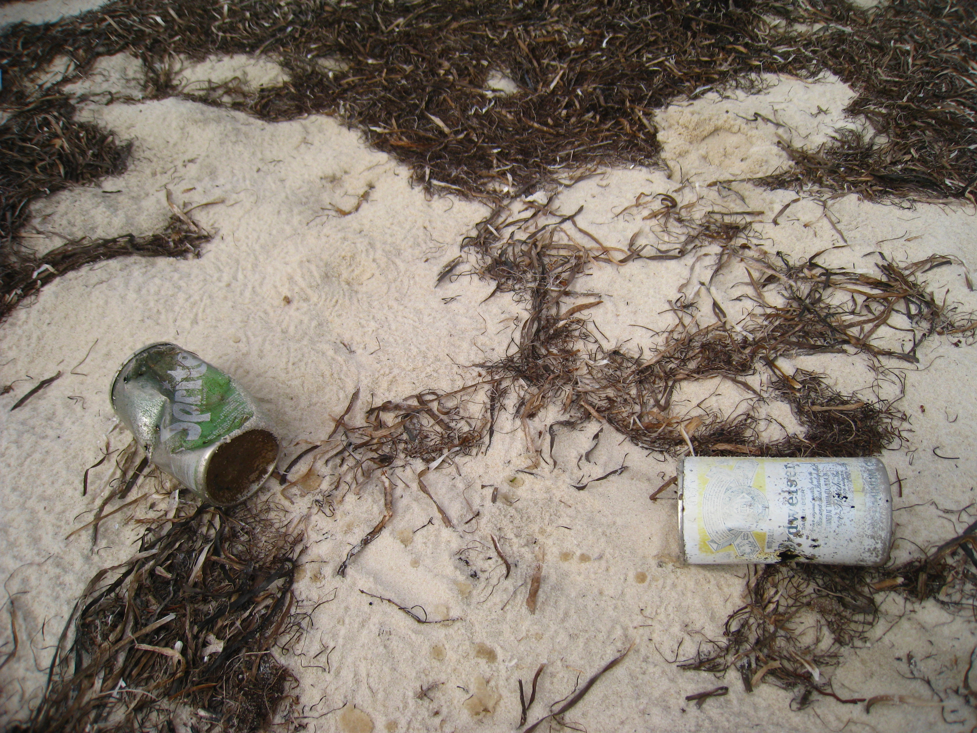
Bud anyone?

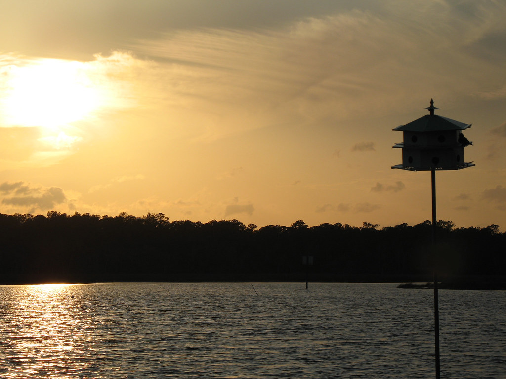
I miss this view
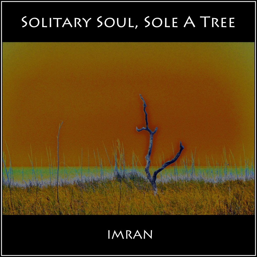
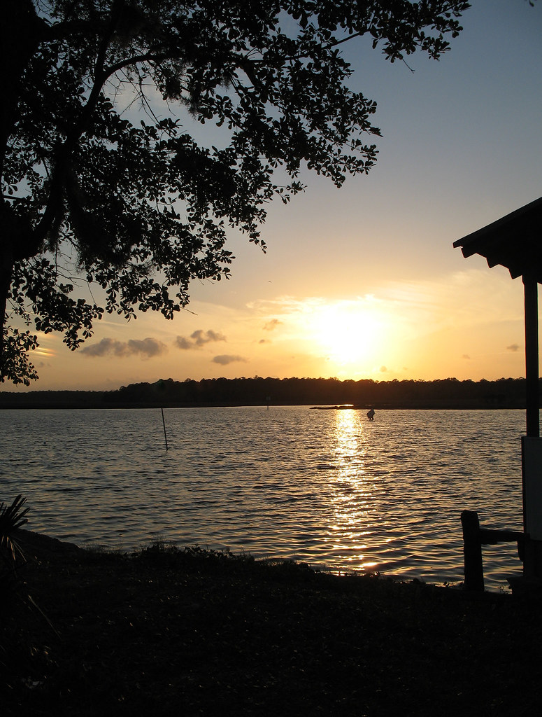
I, Solitary Soul, Eye Sole, A Tree, See By Sea - IMRAN™ -- 500+ Views! Explored!
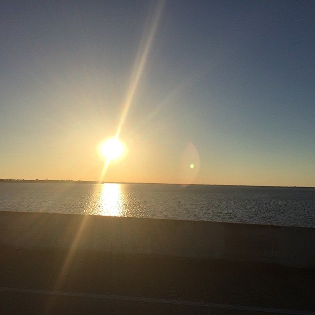
This was my #sunset view over #OchlockneeBay driving the #Jeep home #topDown #DoorsOff #nofilter #wx #jeeplife
IMG_9076 copy
View from Angelo and Sons, Ochlockanee
IMG_9073 copy

Lunch at Angelo's & Sons at Ochlockonee Bay near Panacea, FL
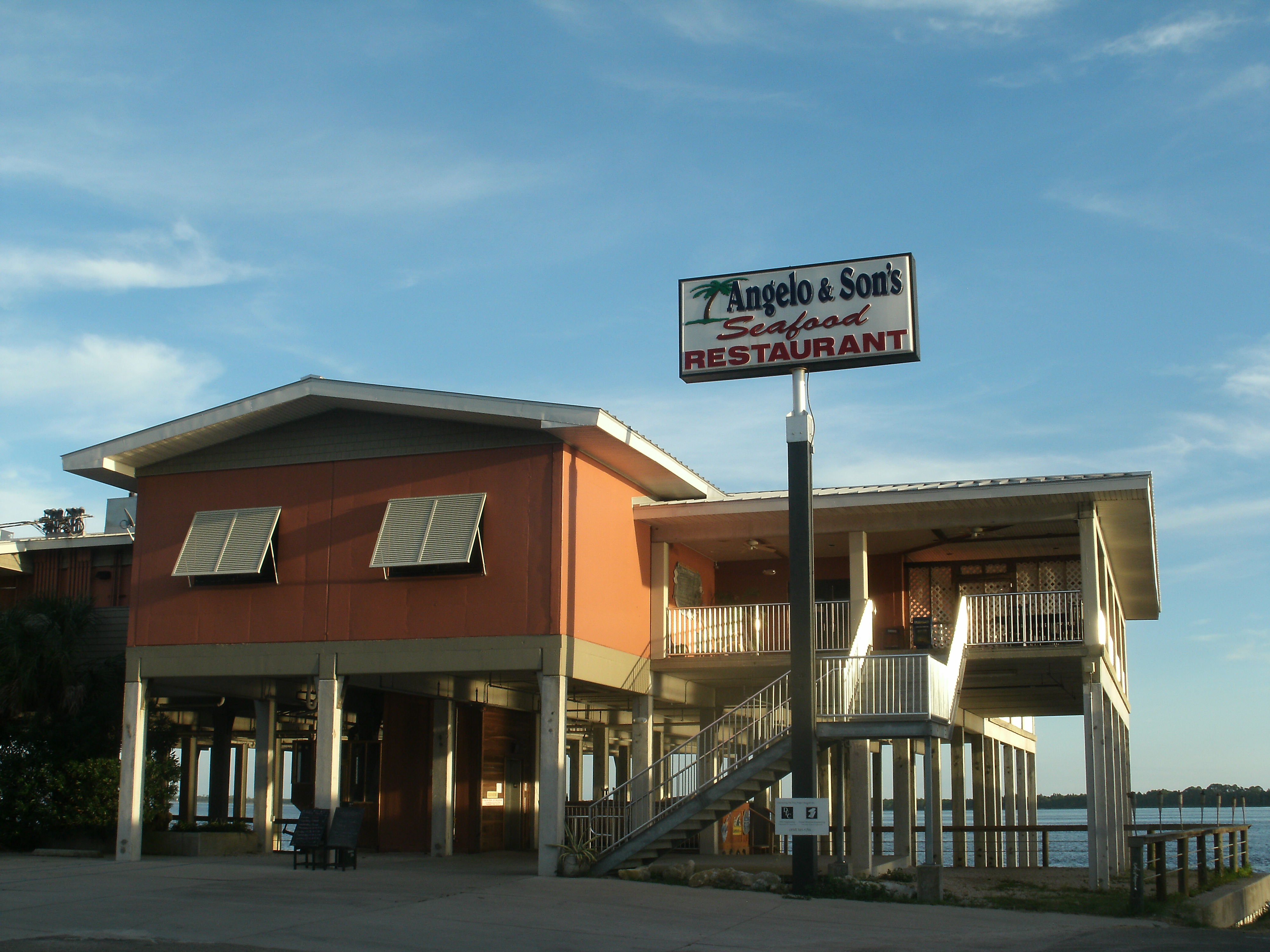
Angelo and Son's Seafood Restaurant
IMG_9103 copy
IMG_9106 copy

IMG_9097 copy
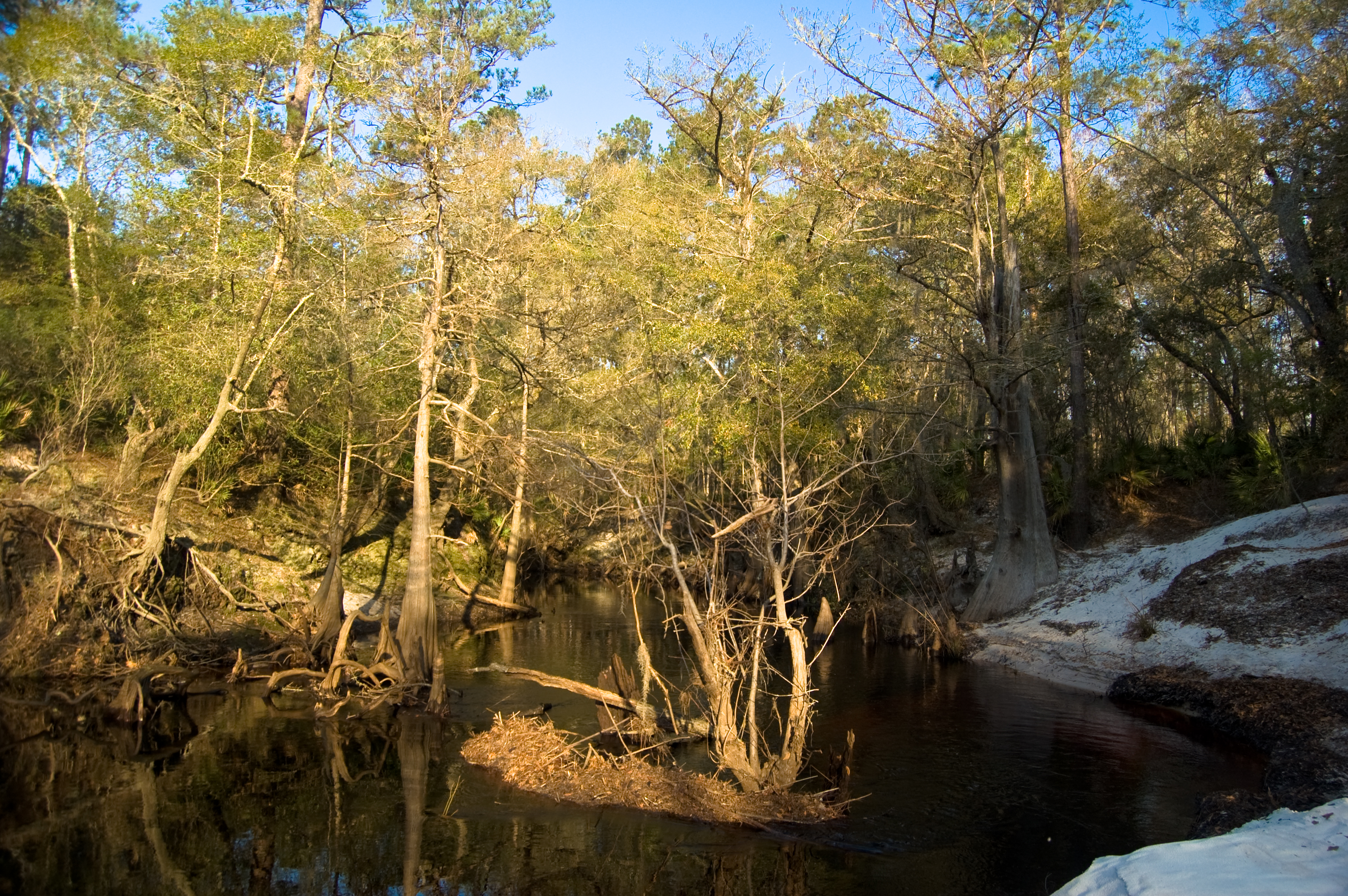
Sopchoppy River
The view from the patio at Angelo's. Panacea Florida

St. Marks
IMG_9071 copy
Bald Point State Park & Alligator Point

Low tide morning, day six. Last morning. Up before the sun, rewarded with an amazing view of the beach and the water. Ready to head home, though. #70d #dslr
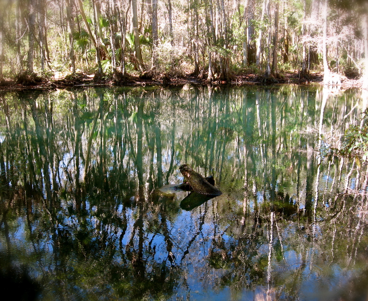
Shepherd Spring (Wakulla County, FL)

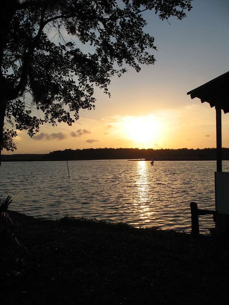
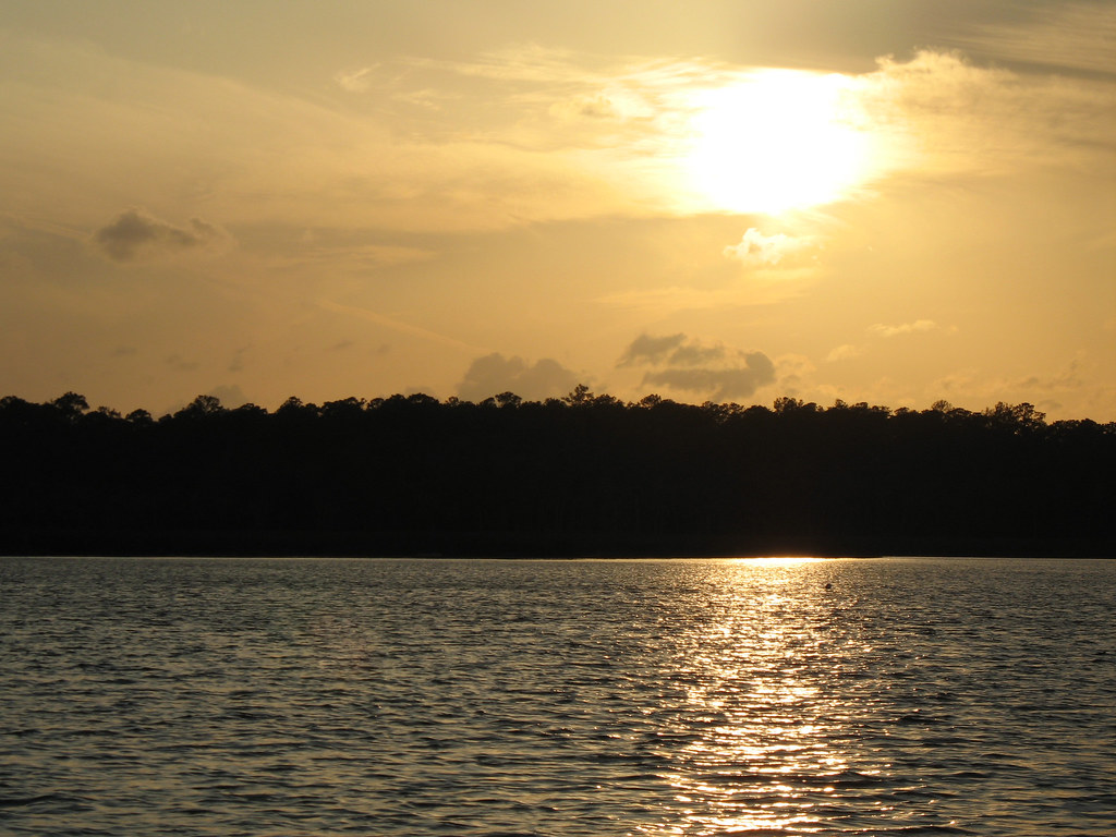
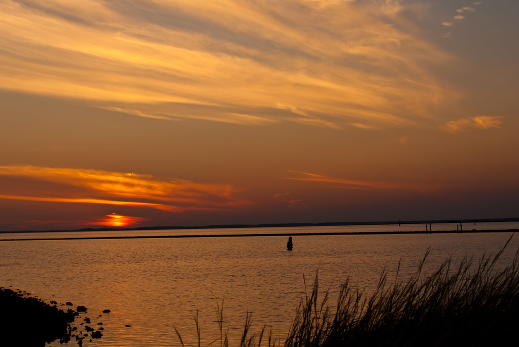
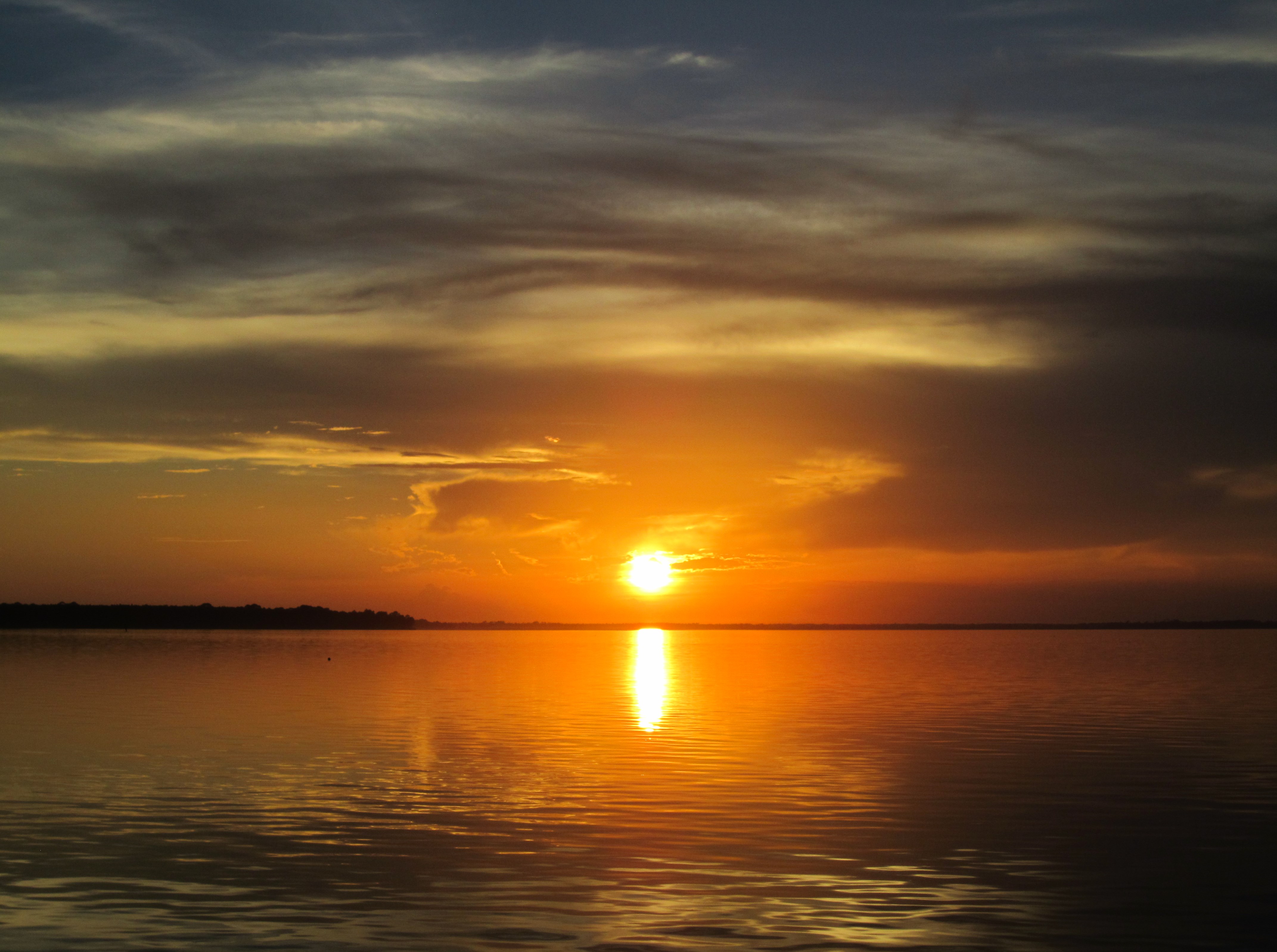
Gulf of Mexico sunset
IN THE FIELD...
St. Mark's

Early Morning Commute

Scenes Around Panacea Florida (16)
Scenes Around Panacea Florida (17)
St. Marks
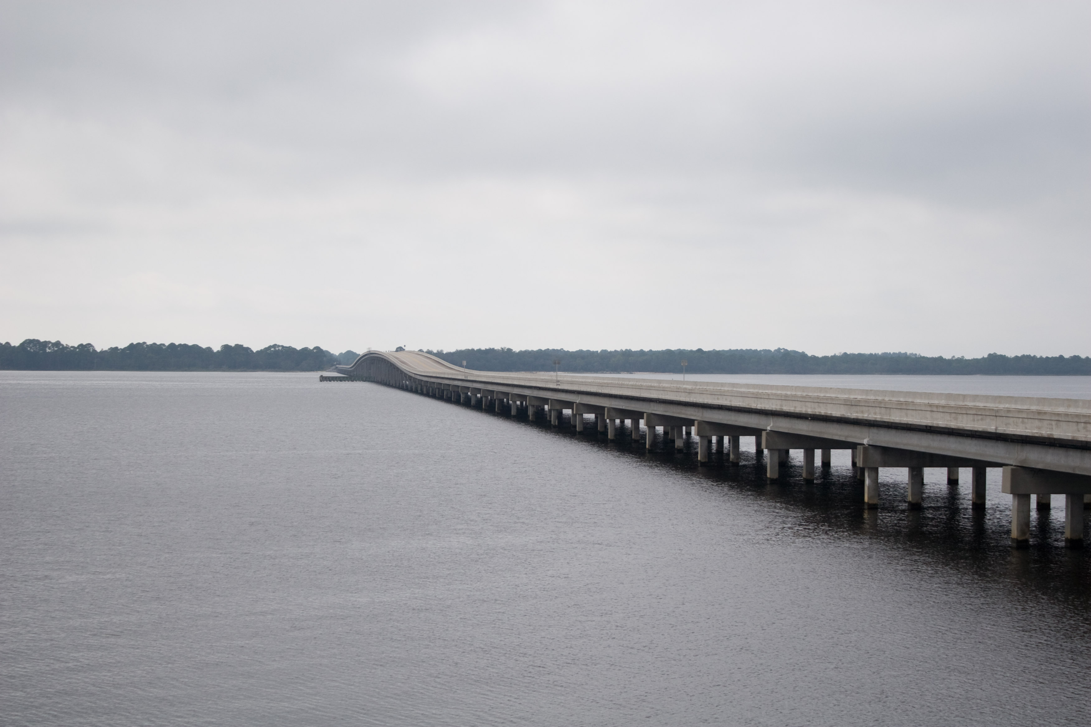
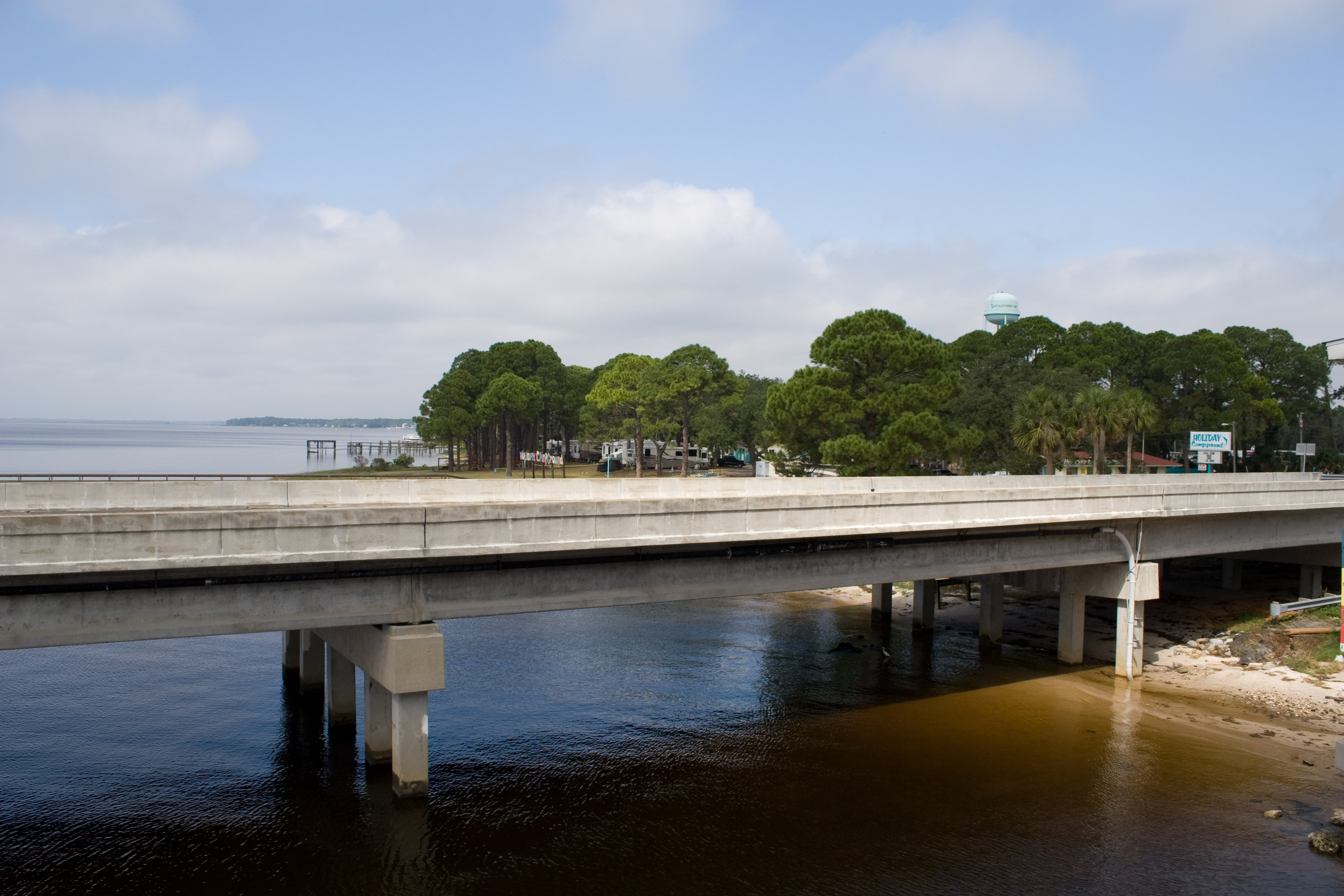
US98 Across Ochlockanee Bay
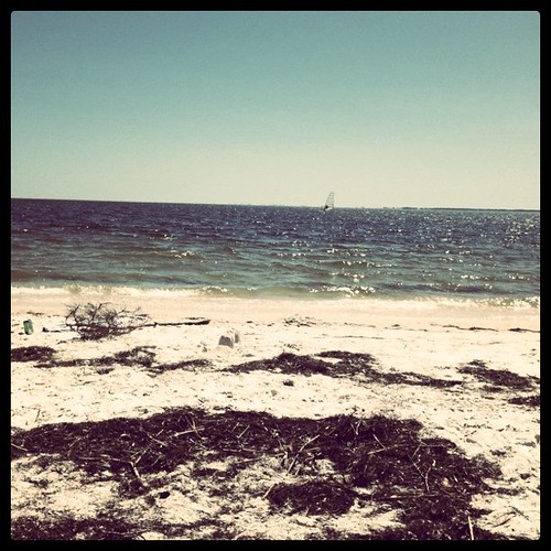
The Beach
IMG_1389.JPG
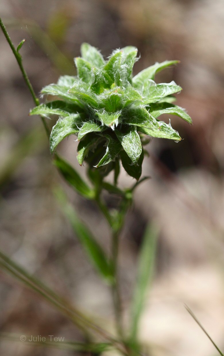
Gamochaeta sp?
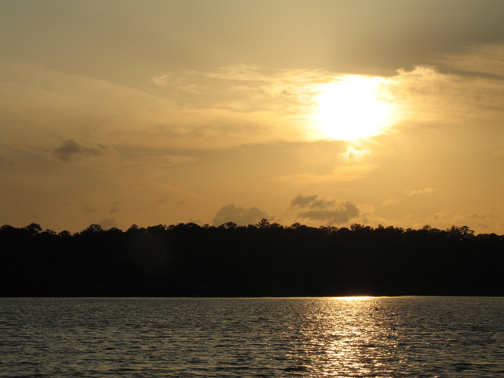
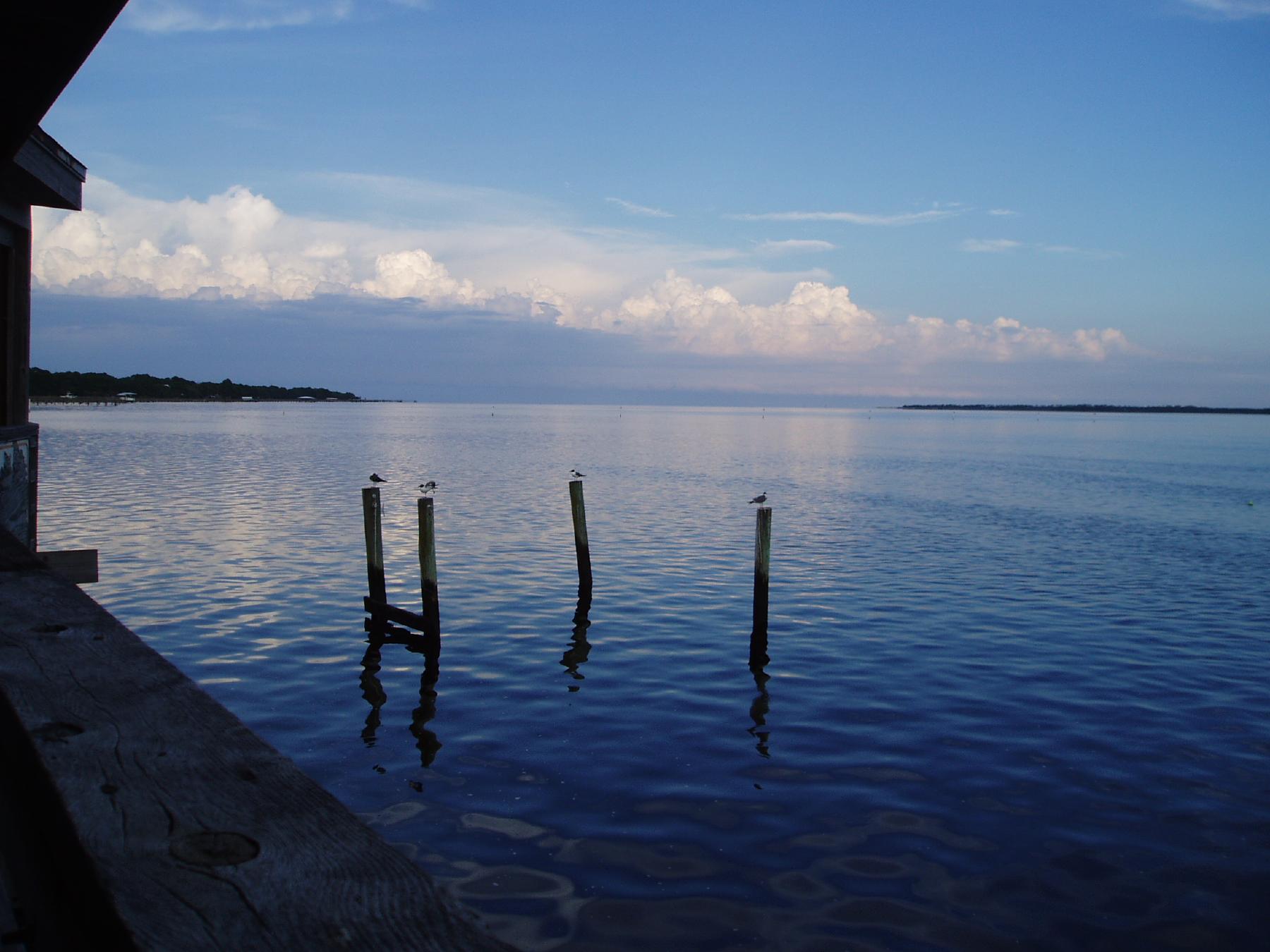
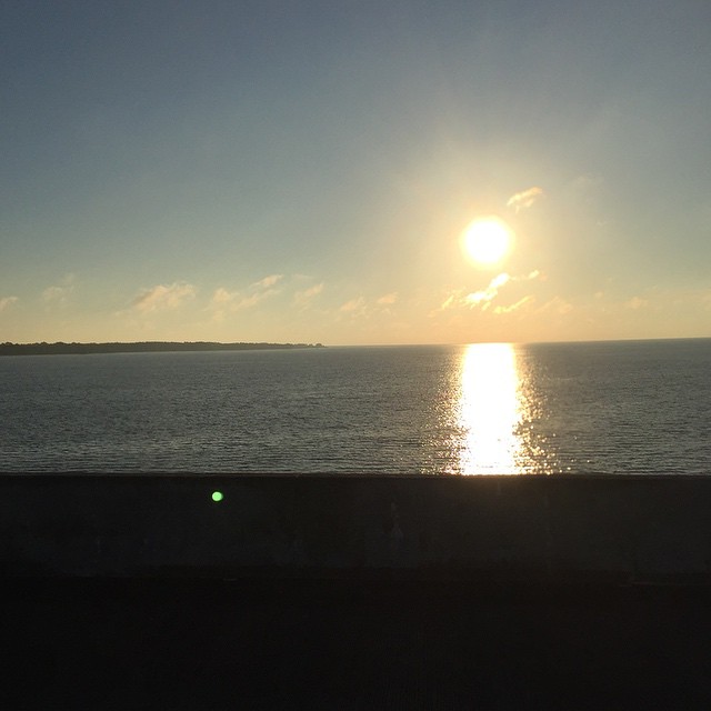
Ochlockonee Bay
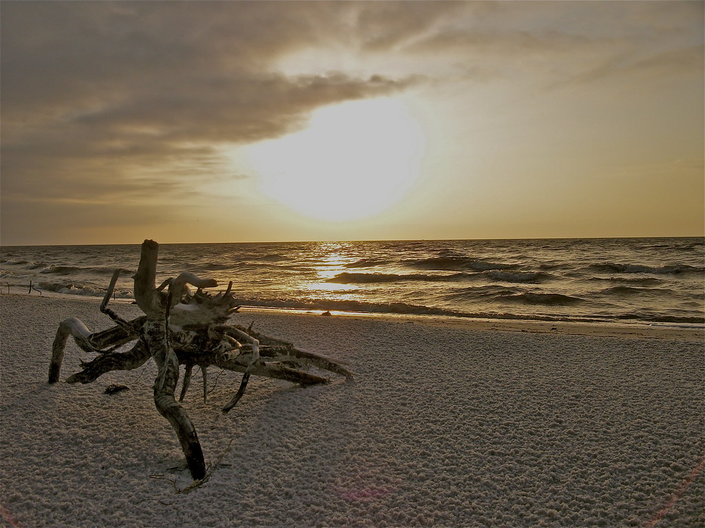
"Crab Root"
#sunrise this morning #OchlockneeBay #Jeep #jeeplife #DoorsOff #topDown

Wake in the Sunset

Scenes Around Panacea Florida (15)

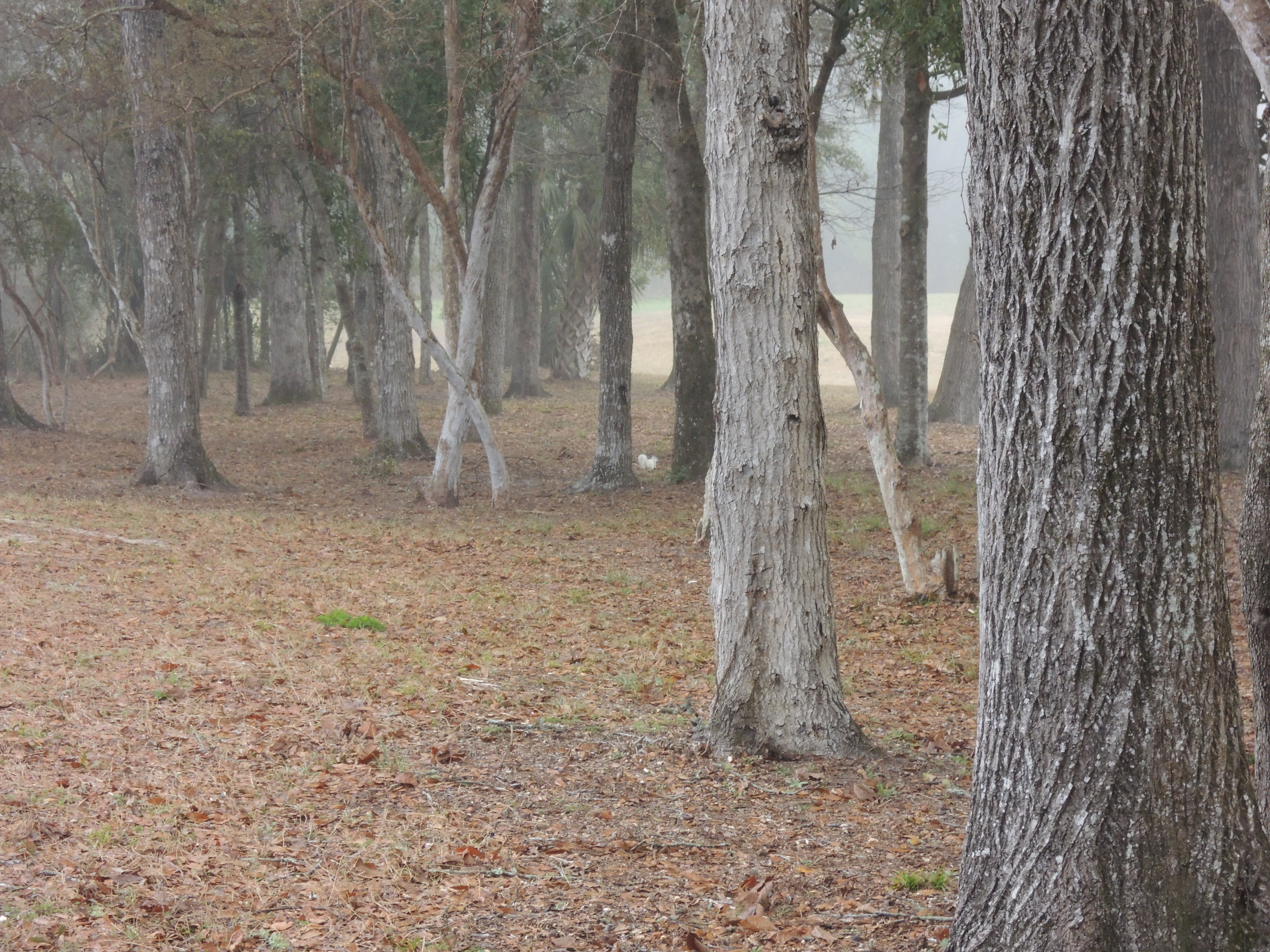
Pine flatwoods pond
Ochlockonee Bay
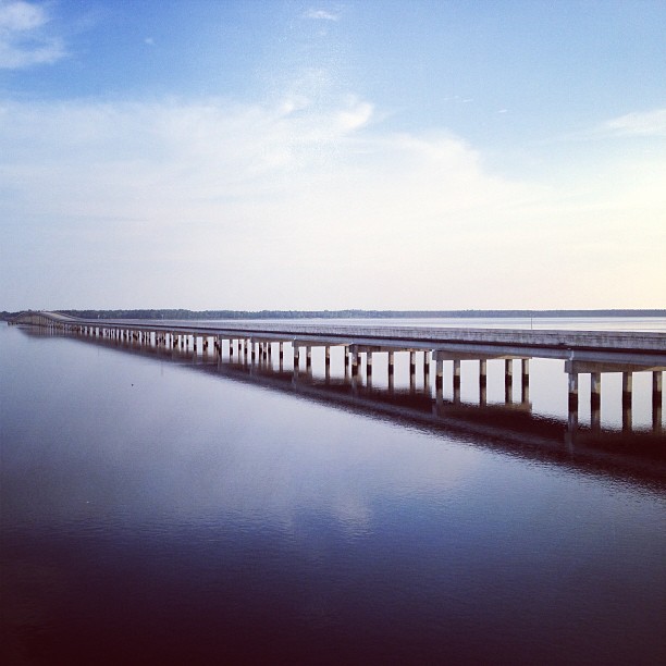
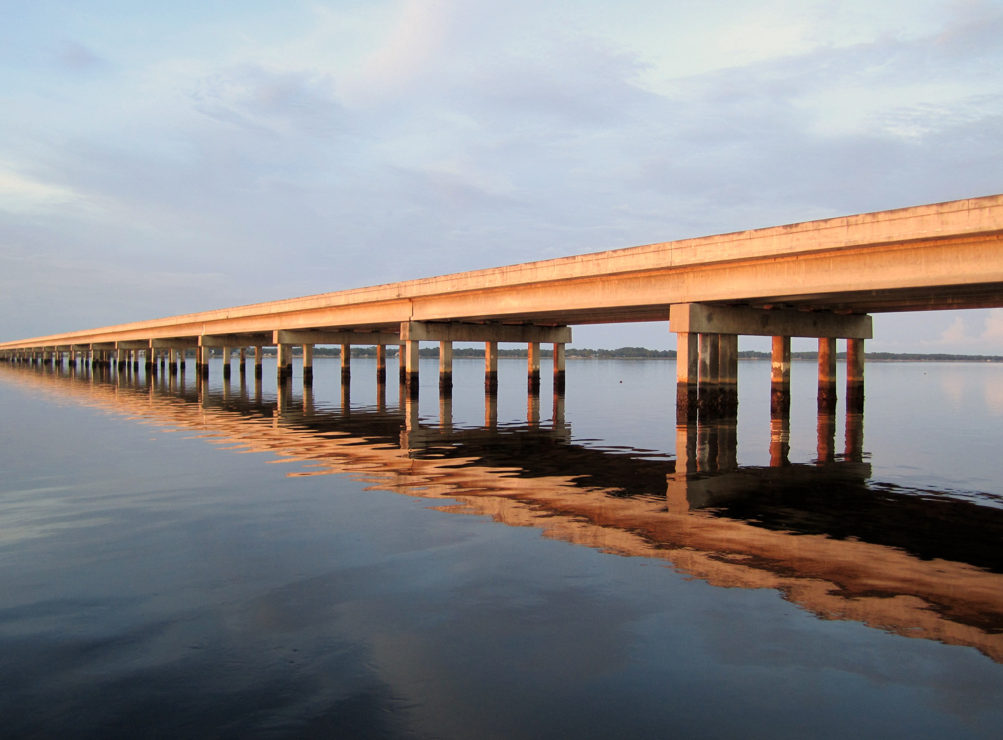
Bridge over Ochlockonee Bay.
Topographic Map of 81 Otter Lake Rd, Panacea, FL, USA
Find elevation by address:

Places near 81 Otter Lake Rd, Panacea, FL, USA:
120 Francis St
103 Francis St
102 Francis St
1402 Coastal Hwy
1402 Fl-30
Panacea
25 Lucy Ln
70 Fishing Fool St
14 Lake Ave
43 Spruce Ave
42 Harrison St
68 Taylor St
13 Aucilla St
64 Westview St
60 Harrison St
39 Aucilla St
Tower Road
Coastal Hwy, Panacea, FL, USA
1089 Coastal Hwy
196 Tower Rd
Recent Searches:
- Elevation of Corso Fratelli Cairoli, 35, Macerata MC, Italy
- Elevation of Tallevast Rd, Sarasota, FL, USA
- Elevation of 4th St E, Sonoma, CA, USA
- Elevation of Black Hollow Rd, Pennsdale, PA, USA
- Elevation of Oakland Ave, Williamsport, PA, USA
- Elevation of Pedrógão Grande, Portugal
- Elevation of Klee Dr, Martinsburg, WV, USA
- Elevation of Via Roma, Pieranica CR, Italy
- Elevation of Tavkvetili Mountain, Georgia
- Elevation of Hartfords Bluff Cir, Mt Pleasant, SC, USA