Elevation of 4 Lorne Rd, Lorne, NB E8G 1K1, Canada
Location: Canada > New Brunswick > Restigouche County > Durham > Lorne >
Longitude: -66.126389
Latitude: 47.8737432
Elevation: 159m / 522feet
Barometric Pressure: 99KPa
Elevation Map:
Satellite Map:
Related Photos:

Screaming Skies

Chaleureuse Baie des Chaleur
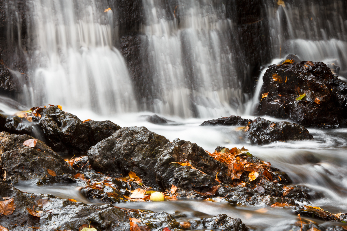
New Mills Falls 3

New Mills Falls 4

Morning After

New Mills Falls 2

Benjamin River Sunset
Summer Storms

Benjamin River Evening

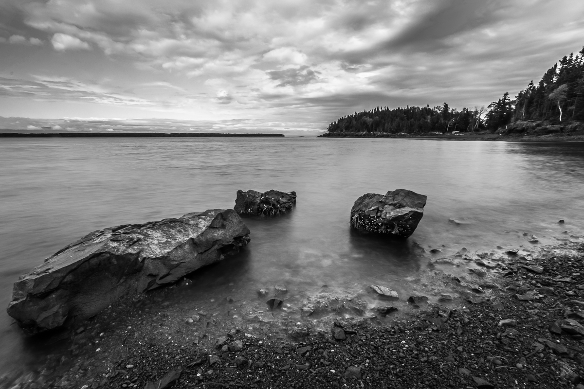
Benjamin River en blanc et noir
Topographic Map of 4 Lorne Rd, Lorne, NB E8G 1K1, Canada
Find elevation by address:

Places near 4 Lorne Rd, Lorne, NB E8G 1K1, Canada:
Lorne
844 Main St
NB-, Charlo, NB E8E 2H4, Canada
Charlo
Charlo Airport
Charlo South
Rue Bélanger
Saint-omer, Gaspésie–Îles-de-la-madeleine, Quebec
Carleton-sur-mer
Rue l'Anse, Eel River Crossing, NB E8E 1R5, Canada
Des Pionniers Ave, Balmoral, NB E8E 1E3, Canada
Dalhousie
526 Riverview St
Eel River Crossing
Balmoral
22 NB-, Dalhousie, NB E8E, Canada
77 Route de la Pointe à Fleurant, Escuminac, QC G0C 1N0, Canada
434 Nb-280
434 Nb-280
434 Nb-280
Recent Searches:
- Elevation of Corso Fratelli Cairoli, 35, Macerata MC, Italy
- Elevation of Tallevast Rd, Sarasota, FL, USA
- Elevation of 4th St E, Sonoma, CA, USA
- Elevation of Black Hollow Rd, Pennsdale, PA, USA
- Elevation of Oakland Ave, Williamsport, PA, USA
- Elevation of Pedrógão Grande, Portugal
- Elevation of Klee Dr, Martinsburg, WV, USA
- Elevation of Via Roma, Pieranica CR, Italy
- Elevation of Tavkvetili Mountain, Georgia
- Elevation of Hartfords Bluff Cir, Mt Pleasant, SC, USA