Elevation of Eel River Crossing, NB, Canada
Location: Canada > New Brunswick > Restigouche County >
Longitude: -66.422095
Latitude: 48.0159625
Elevation: 7m / 23feet
Barometric Pressure: 101KPa
Elevation Map:
Satellite Map:
Related Photos:
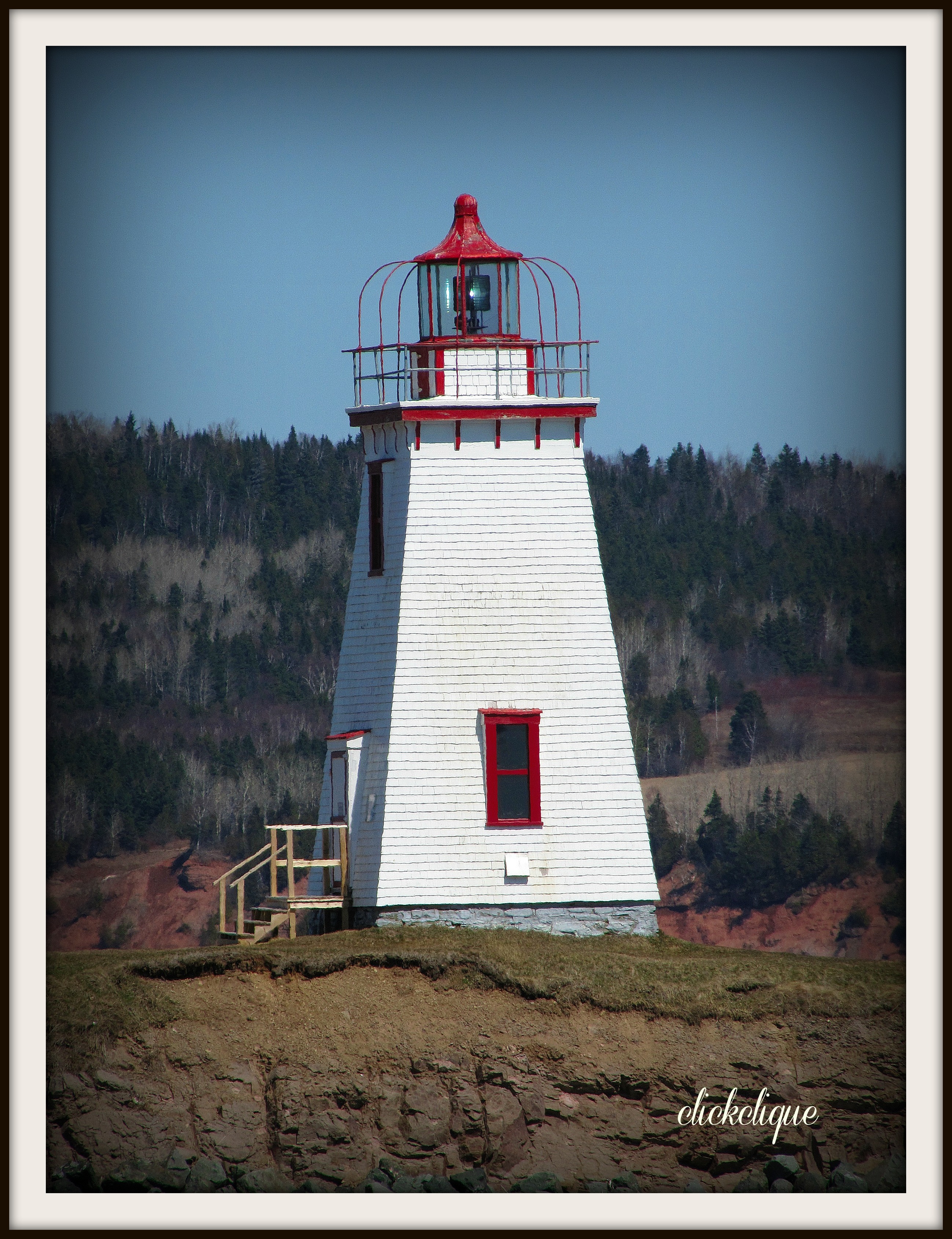
Lighthouse in Dalhousie

Mount Carleton View

Dreamy Bon Ami

Bon Ami Moon

CTV's Live at 5 broadcast photos

Charlo Dam

A beautiful place

Sunlight Concrete

Stripped grain

Morning Beauty

Vers Campbellton

CTV's Live at 5 broadcast photos

Quenouilles hivernales

Migasha Shore

Rock to the sea

Echo in Snow

Incoming moon

Remaining Ice

Fall Classic

Sunset clouds

Rising & Shine

NB & Quebec Sunset

Fade to white
Topographic Map of Eel River Crossing, NB, Canada
Find elevation by address:

Places in Eel River Crossing, NB, Canada:
Places near Eel River Crossing, NB, Canada:
22 NB-, Dalhousie, NB E8E, Canada
Rue l'Anse, Eel River Crossing, NB E8E 1R5, Canada
Des Pionniers Ave, Balmoral, NB E8E 1E3, Canada
Balmoral
526 Riverview St
Dalhousie
434 Nb-280
434 Nb-280
434 Nb-280
Dundee
Charlo South
Charlo Airport
Dalhousie
Restigouche River
77 Route de la Pointe à Fleurant, Escuminac, QC G0C 1N0, Canada
Charlo
40 Route de la Pointe à Fleurant, Escuminac, QC G0C 1N0, Canada
Escuminac
Escuminac
Pointe-à-la-garde
Recent Searches:
- Elevation of Corso Fratelli Cairoli, 35, Macerata MC, Italy
- Elevation of Tallevast Rd, Sarasota, FL, USA
- Elevation of 4th St E, Sonoma, CA, USA
- Elevation of Black Hollow Rd, Pennsdale, PA, USA
- Elevation of Oakland Ave, Williamsport, PA, USA
- Elevation of Pedrógão Grande, Portugal
- Elevation of Klee Dr, Martinsburg, WV, USA
- Elevation of Via Roma, Pieranica CR, Italy
- Elevation of Tavkvetili Mountain, Georgia
- Elevation of Hartfords Bluff Cir, Mt Pleasant, SC, USA