Elevation of 49 Hicks Rd, Reynolds, GA, USA
Location: United States > Georgia > Taylor County > Reynolds >
Longitude: -84.179037
Latitude: 32.5583156
Elevation: 185m / 607feet
Barometric Pressure: 99KPa
Elevation Map:
Satellite Map:
Related Photos:
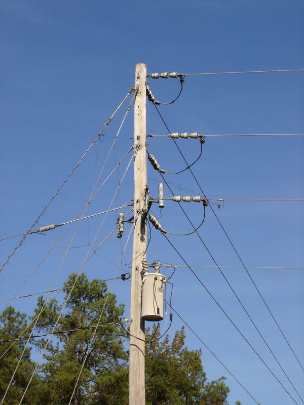
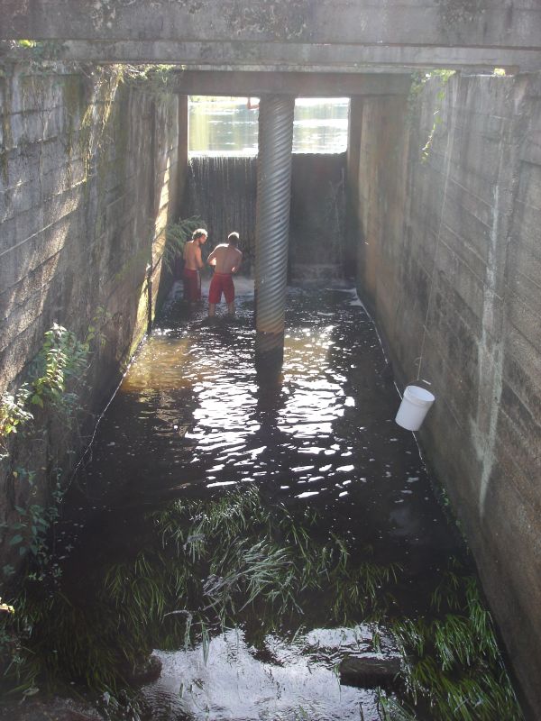
DSC00976
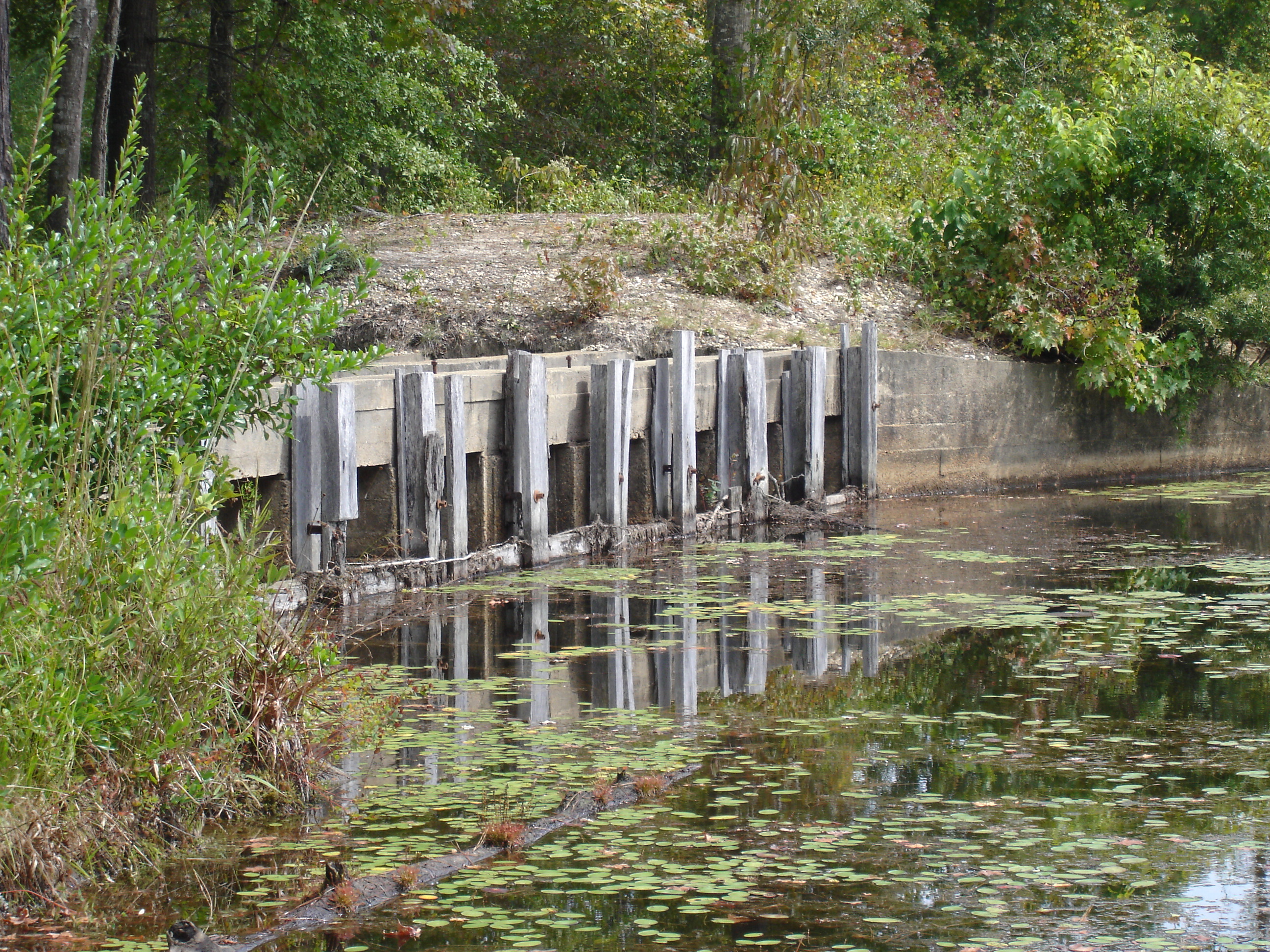
DSC00940
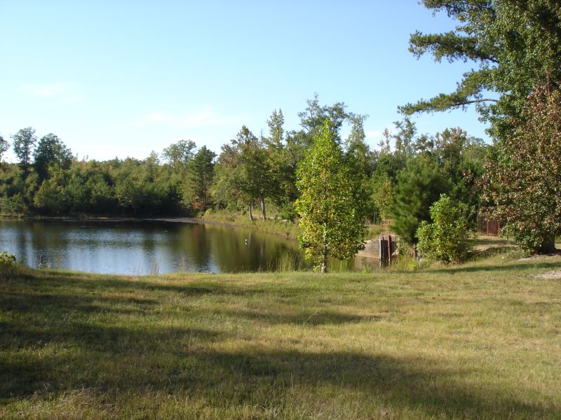
DSC00980
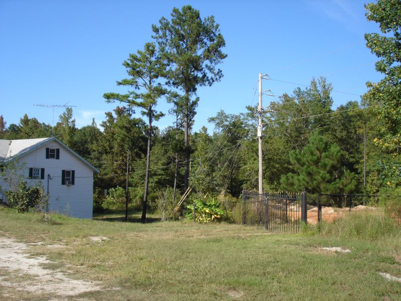
DSC00978
DSC00941
DSC00937
DSC00975
DSC00969
DSC00966
DSC00936

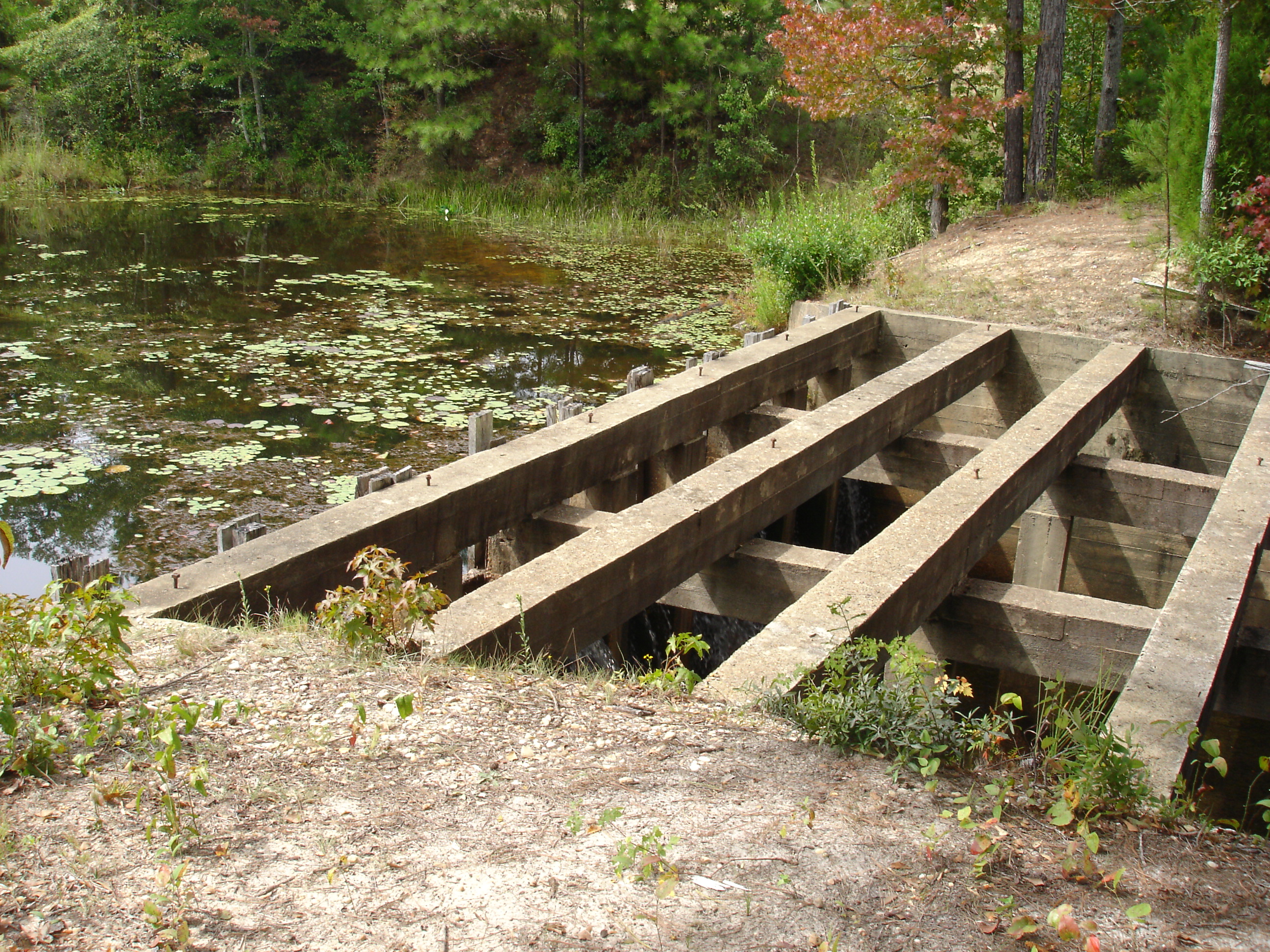
Fickling Mill on Bartram Trail

_D2X8133.jpg

Crimson Clover Trifolium incarnatum_1718
Topographic Map of 49 Hicks Rd, Reynolds, GA, USA
Find elevation by address:

Places near 49 Hicks Rd, Reynolds, GA, USA:
Taylor County
Butler
Tommy Purvis Jr Rd, Reynolds, GA, USA
638 Americus Hwy
Reynolds
W Old Wire Rd, Butler, GA, USA
Rupert
Tom Watson St, Ideal, GA, USA
Ideal
US-, Roberta, GA, USA
Zenith Mill Rd, Fort Valley, GA, USA
Roberta
Macon County
GA-42, Knoxville, GA, USA
Knoxville
US-80, Junction City, GA, USA
Crawford County
GA-7, Fort Valley, GA, USA
Marshallville
US-, Fort Valley, GA, USA
Recent Searches:
- Elevation of Corso Fratelli Cairoli, 35, Macerata MC, Italy
- Elevation of Tallevast Rd, Sarasota, FL, USA
- Elevation of 4th St E, Sonoma, CA, USA
- Elevation of Black Hollow Rd, Pennsdale, PA, USA
- Elevation of Oakland Ave, Williamsport, PA, USA
- Elevation of Pedrógão Grande, Portugal
- Elevation of Klee Dr, Martinsburg, WV, USA
- Elevation of Via Roma, Pieranica CR, Italy
- Elevation of Tavkvetili Mountain, Georgia
- Elevation of Hartfords Bluff Cir, Mt Pleasant, SC, USA