Elevation of US-80, Junction City, GA, USA
Location: United States > Georgia > Talbot County >
Longitude: -84.370918
Latitude: 32.7124806
Elevation: 160m / 525feet
Barometric Pressure: 99KPa
Elevation Map:
Satellite Map:
Related Photos:
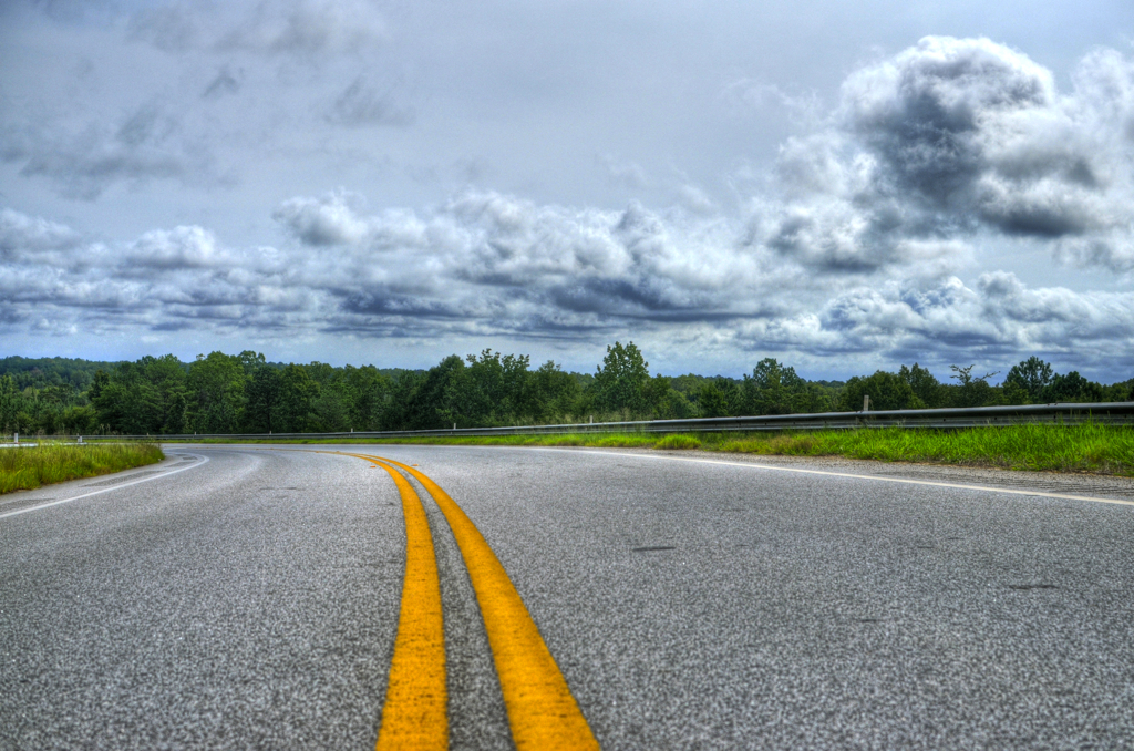
Cloudy Roads

3 Tier Home

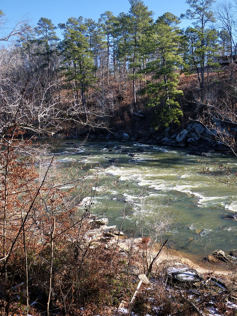
flint river
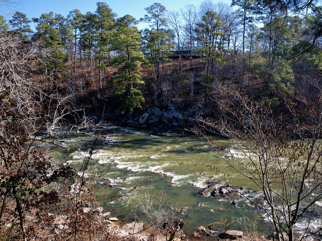
flint river
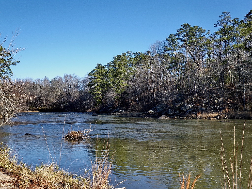
flint river

flint river
flint river
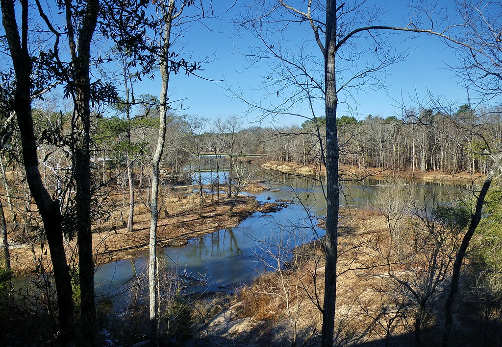
flint river

flint river

View from Inside the Auchumkee Creek Covered Bridge, near Thomaston. 2005 Bicycle Ride Across Georgia.
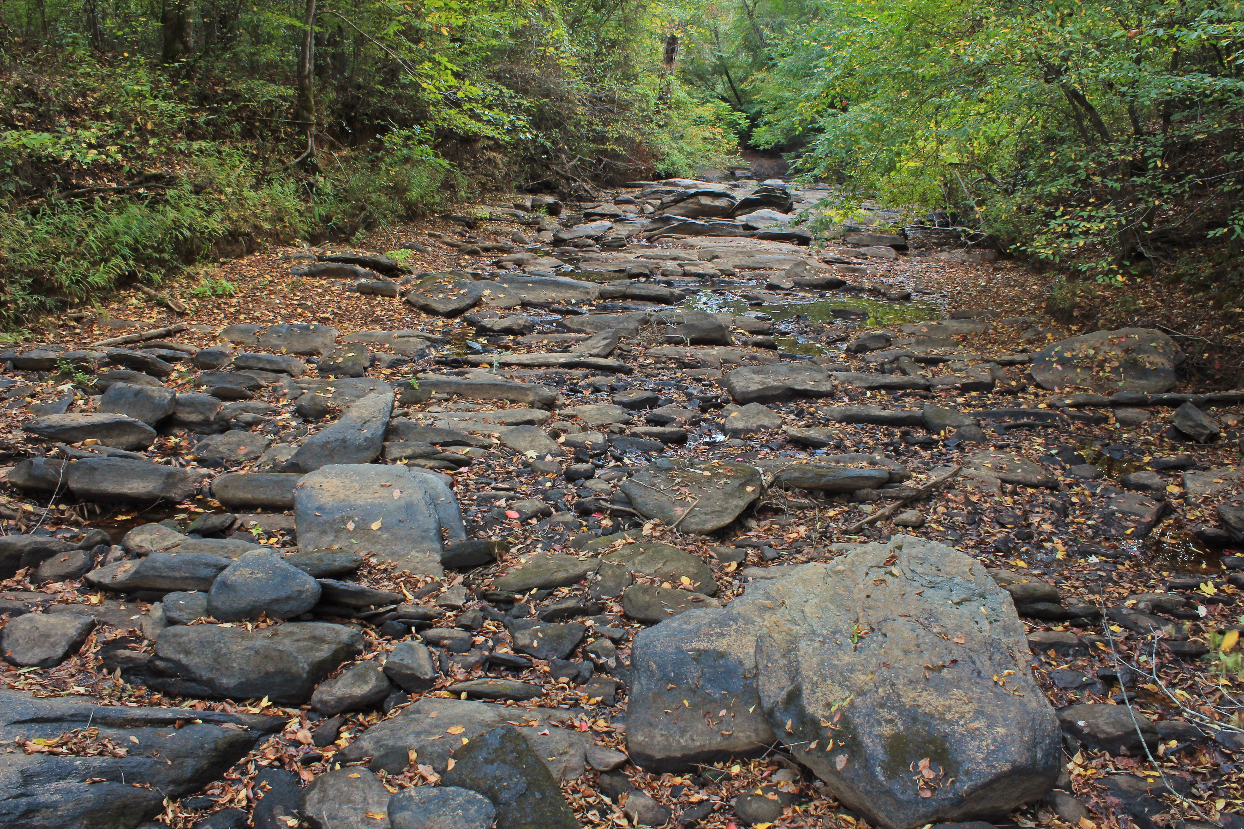
Auchumpkee Creek, below Auchumpkee Creek Covered Bridge, Upson County, Georgia 1

Camera Roll-42

flint river
Topographic Map of US-80, Junction City, GA, USA
Find elevation by address:

Places near US-80, Junction City, GA, USA:
W Old Wire Rd, Butler, GA, USA
Walton St, Thomaston, GA, USA
1170 Triune Mill Rd
Georgia 74
Thomaston
Thomaston
Thomaston
Thomaston
Thomaston
Thomaston
Thomaston
Thomaston
Thomaston
Thomaston
Thomaston
Thomaston
Thomaston
Thomaston
Thomaston
Thomaston
Recent Searches:
- Elevation of Corso Fratelli Cairoli, 35, Macerata MC, Italy
- Elevation of Tallevast Rd, Sarasota, FL, USA
- Elevation of 4th St E, Sonoma, CA, USA
- Elevation of Black Hollow Rd, Pennsdale, PA, USA
- Elevation of Oakland Ave, Williamsport, PA, USA
- Elevation of Pedrógão Grande, Portugal
- Elevation of Klee Dr, Martinsburg, WV, USA
- Elevation of Via Roma, Pieranica CR, Italy
- Elevation of Tavkvetili Mountain, Georgia
- Elevation of Hartfords Bluff Cir, Mt Pleasant, SC, USA