Elevation of 45 White Rd, Richmond, ME, USA
Location: United States > Maine > Sagadahoc County > Richmond >
Longitude: -69.848632
Latitude: 44.092901
Elevation: 50m / 164feet
Barometric Pressure: 0KPa
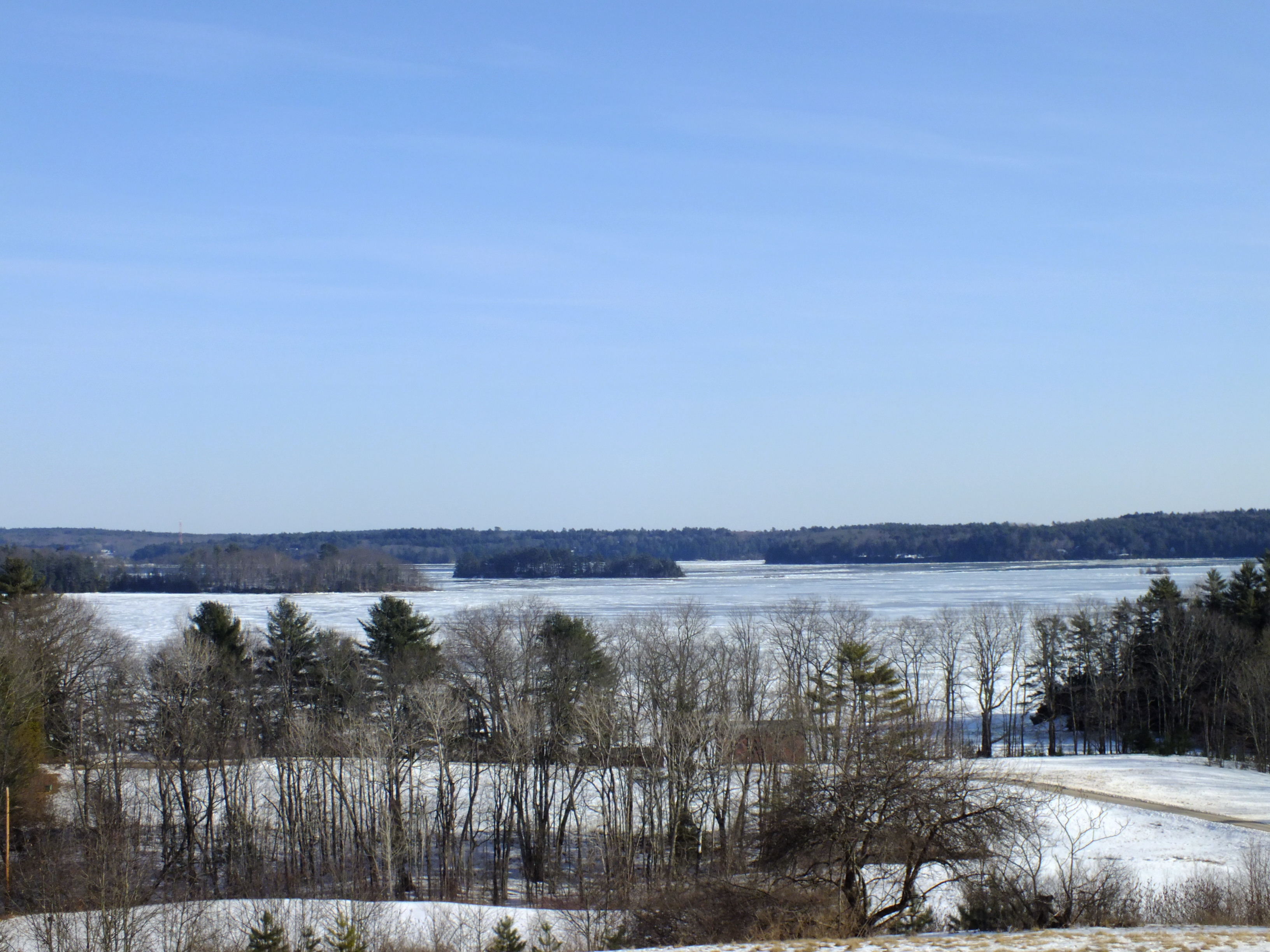
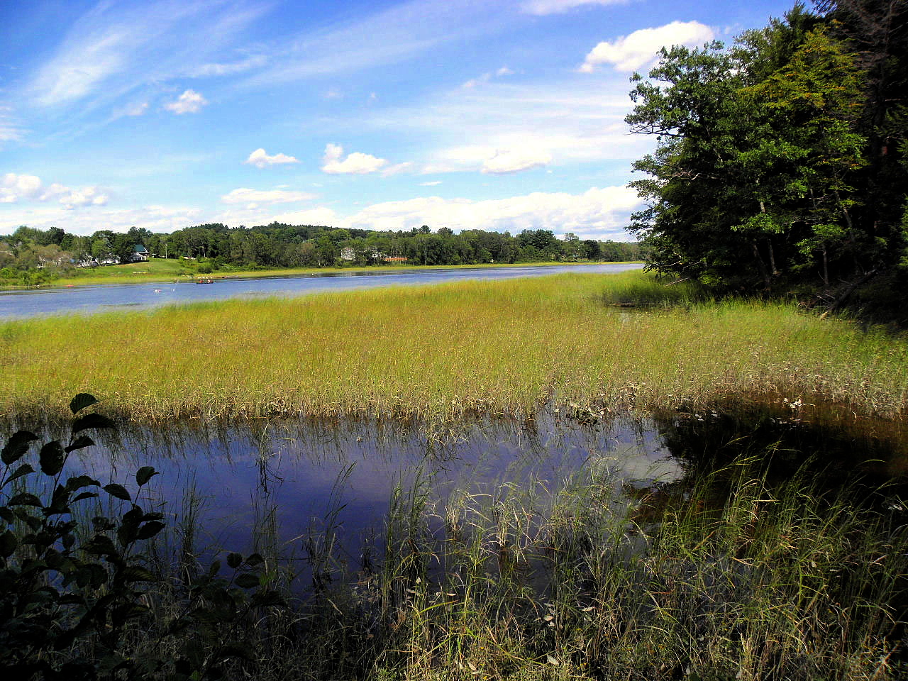
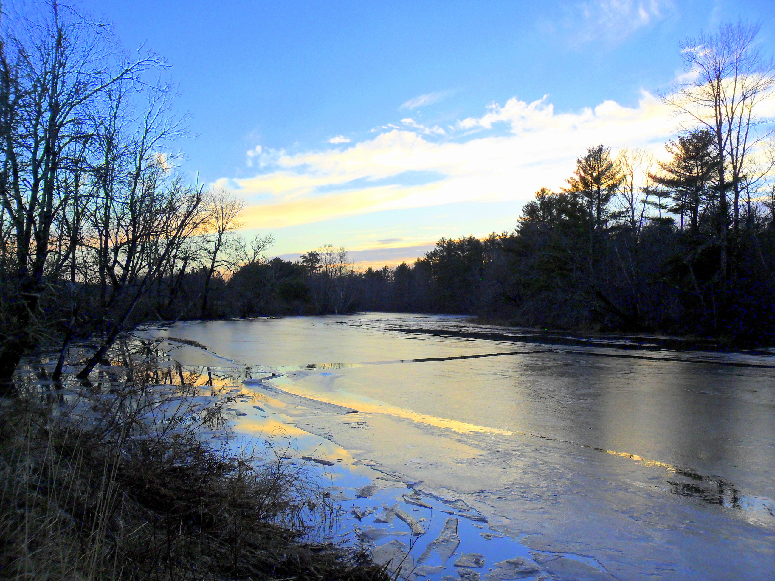
Related Photos:

Opposite view.

no early bird
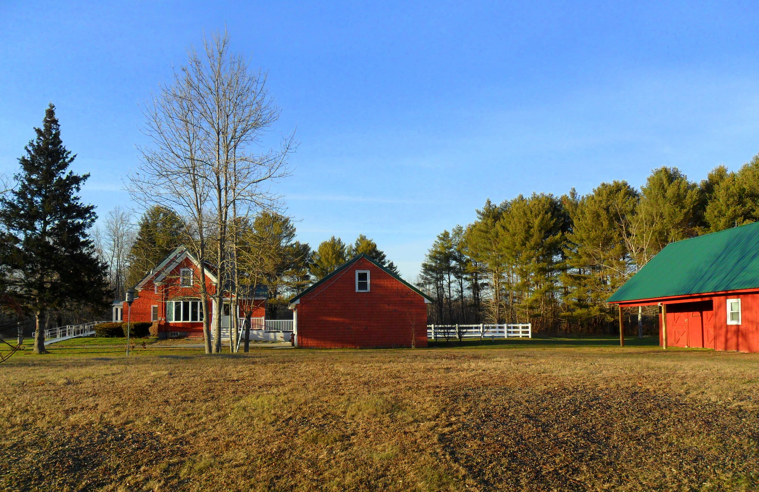
19-side view

autumn view
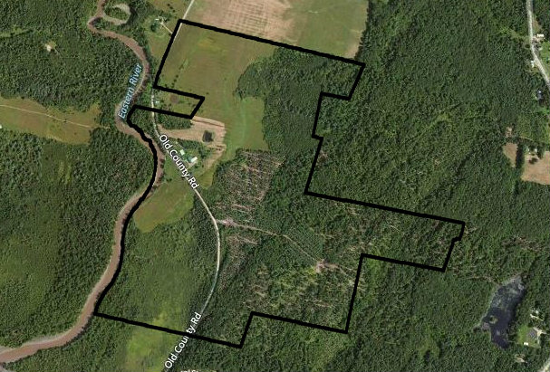
map view

Looking Up
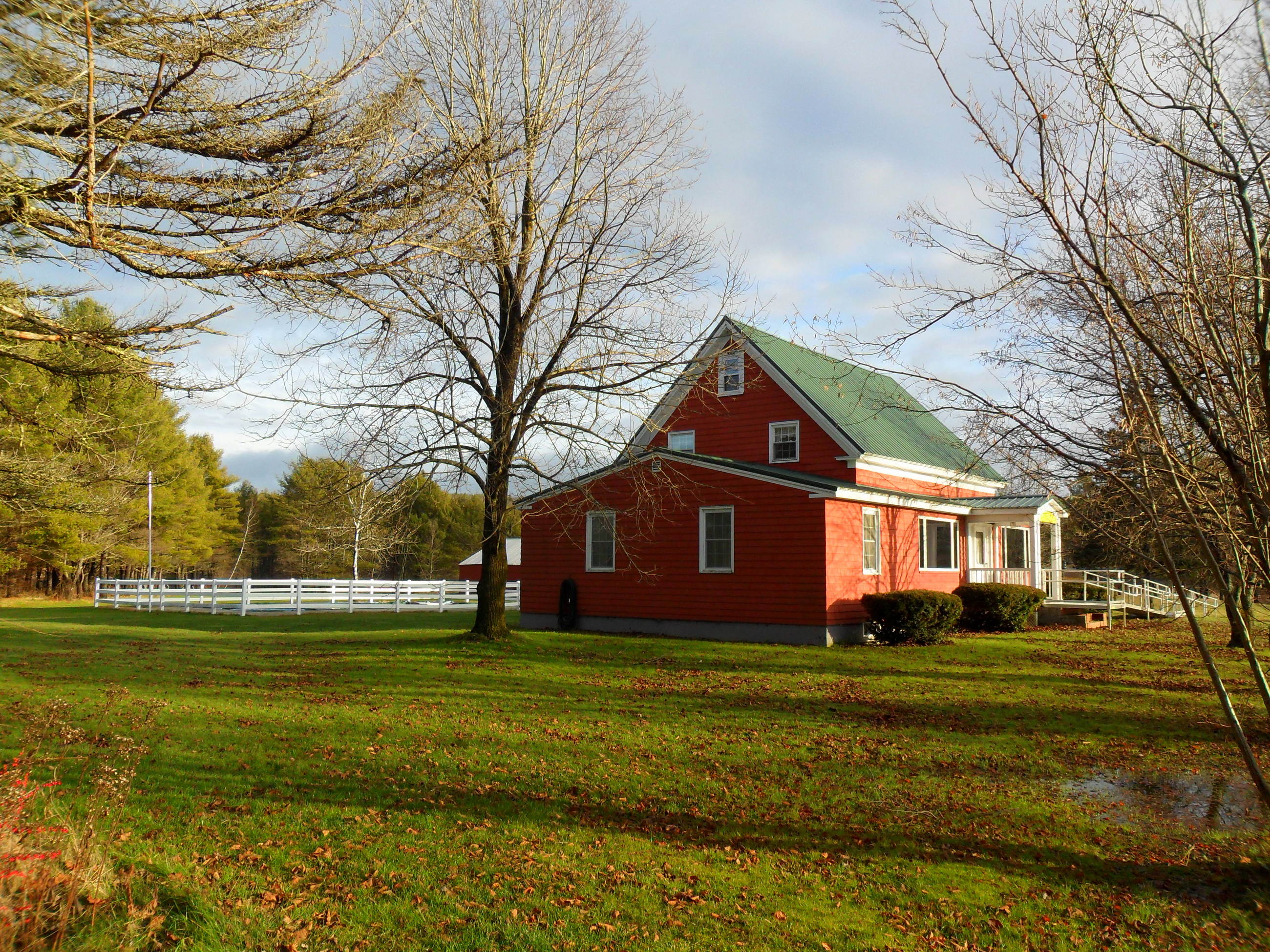
1-side view
Swan Island 4
Side View

Kitchen with granite counters
Merry Meeting Fields - Woolwich 046

freaking out iPhone's HDR

Merry Meeting Fields - Woolwich 113

Happy New Year!
DSC_7265 Old Barn
On the drive home
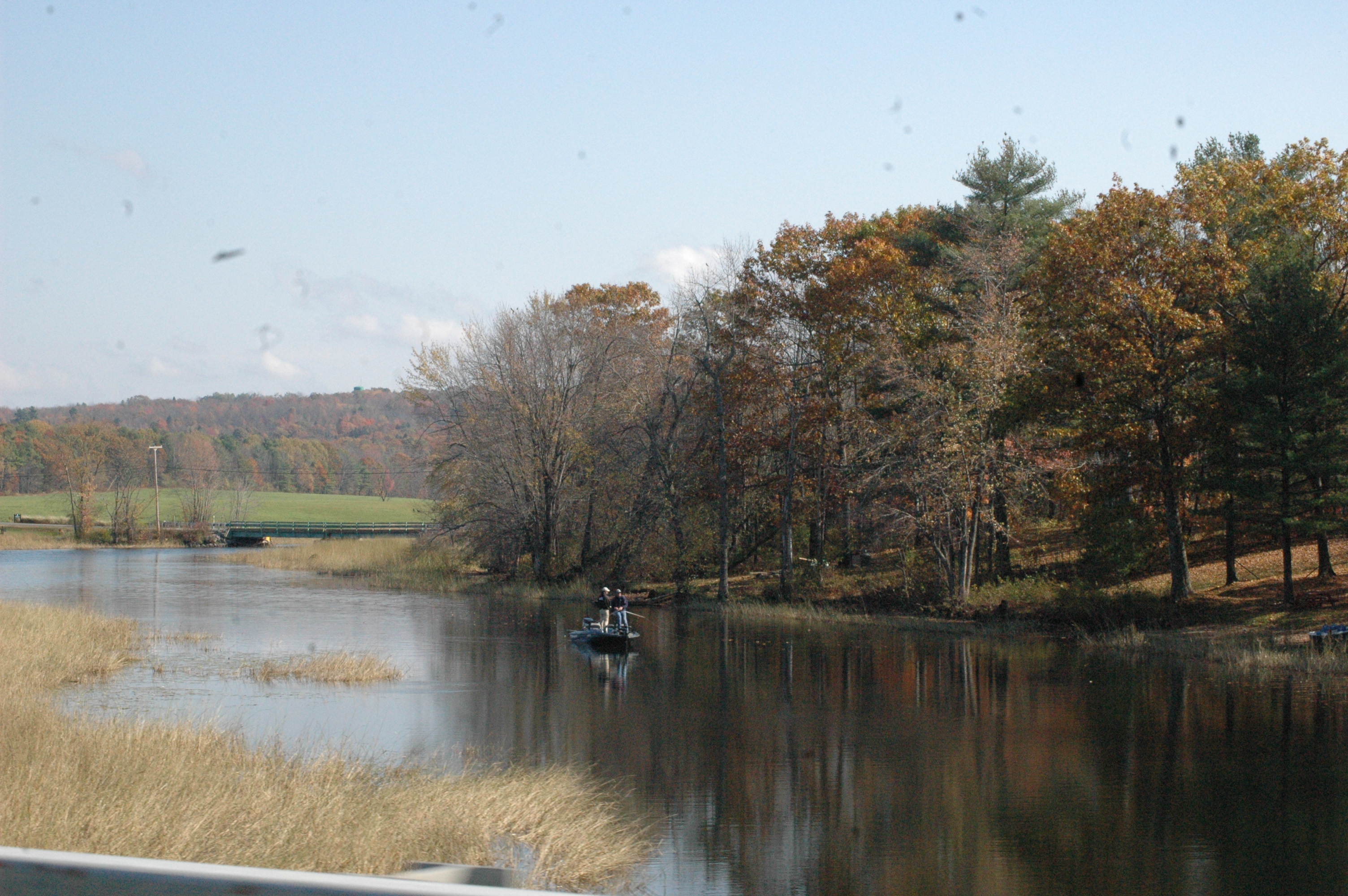
DSC_6896 Fishing
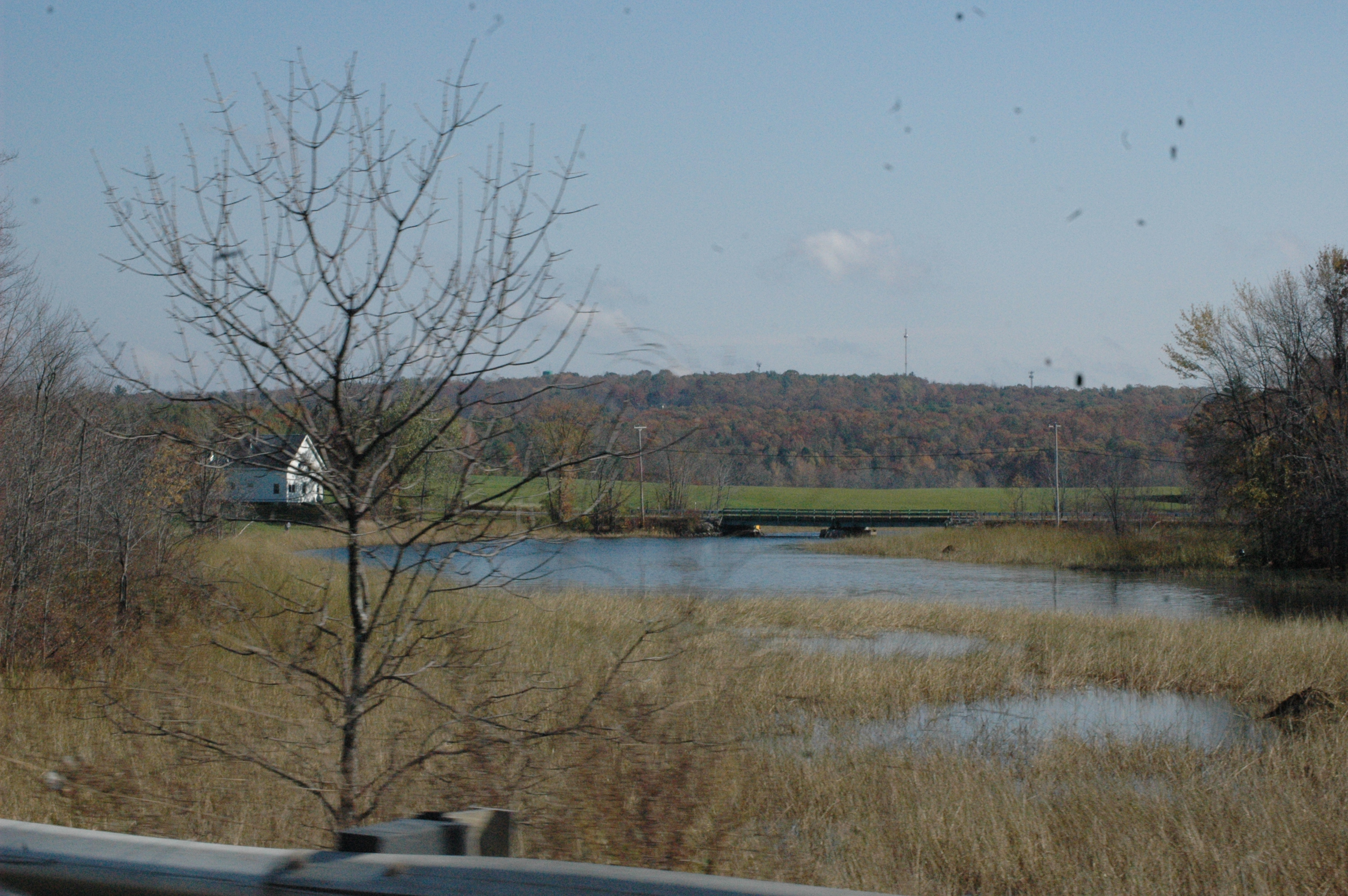
DSC_6898 By The River
Road trip. Beautiful day to be out and about.

Road trip. Beautiful day to be out and about.

Thorne Head Preserve
Swan Island 5

Despite the Rain

Thorne Head Preserve

Solo morning paddle in the #Kennebec. Much love to all and big hugs from Maine. #merrychristmas #mepaddle #maine #me #bath #allisbright
Merrymeeting Bay

IMG_2156 Sizzling Day, Merrymeeting Bay

The Witch's Grave, North Cemetery - Bowdoin, Maine
Swan Island 15
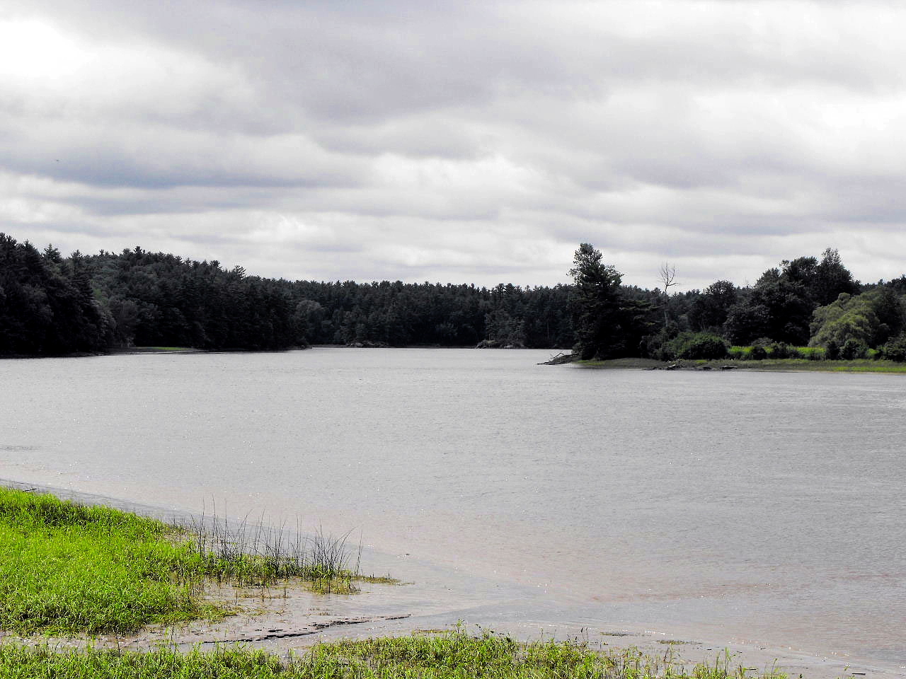
Eastern River

Merry Meeting Fields - Woolwich 114
Topographic Map of 45 White Rd, Richmond, ME, USA
Find elevation by address:

Places near 45 White Rd, Richmond, ME, USA:
Richmond
Richmond
151 Pleasant St
46 Knickerbocker Rd
198 Pork Point Rd
River Rd, Dresden, ME, USA
Cedar Grove Rd, Dresden, ME, USA
143 Wildes Rd
Bowdoinham
341 Middle Rd
57 W Chops Point Rd, Bath, ME, USA
Gardiner Rd, Dresden, ME, USA
Dresden
470 Gardiner Rd
East Pittston Road
Quartz Bluff Road
15 Val Halla Dr
65 Adams Landing Rd
160 Gibbs Rd
625 Middlesex Rd
Recent Searches:
- Elevation map of Greenland, Greenland
- Elevation of Sullivan Hill, New York, New York, 10002, USA
- Elevation of Morehead Road, Withrow Downs, Charlotte, Mecklenburg County, North Carolina, 28262, USA
- Elevation of 2800, Morehead Road, Withrow Downs, Charlotte, Mecklenburg County, North Carolina, 28262, USA
- Elevation of Yangbi Yi Autonomous County, Yunnan, China
- Elevation of Pingpo, Yangbi Yi Autonomous County, Yunnan, China
- Elevation of Mount Malong, Pingpo, Yangbi Yi Autonomous County, Yunnan, China
- Elevation map of Yongping County, Yunnan, China
- Elevation of North 8th Street, Palatka, Putnam County, Florida, 32177, USA
- Elevation of 107, Big Apple Road, East Palatka, Putnam County, Florida, 32131, USA
- Elevation of Jiezi, Chongzhou City, Sichuan, China
- Elevation of Chongzhou City, Sichuan, China
- Elevation of Huaiyuan, Chongzhou City, Sichuan, China
- Elevation of Qingxia, Chengdu, Sichuan, China
- Elevation of Corso Fratelli Cairoli, 35, Macerata MC, Italy
- Elevation of Tallevast Rd, Sarasota, FL, USA
- Elevation of 4th St E, Sonoma, CA, USA
- Elevation of Black Hollow Rd, Pennsdale, PA, USA
- Elevation of Oakland Ave, Williamsport, PA, USA
- Elevation of Pedrógão Grande, Portugal