Elevation of 45 Celo St, Burnsville, NC, USA

Location: United States > North Carolina > Yancey County > Burnsville > Burnsville >

Longitude: -82.289127

Latitude: 35.9179615

Elevation: 817m / 2680feet

Barometric Pressure: 92KPa

Elevation Map:

elevation map of 45 Celo St, Burnsville, NC, USA

Satellite Map:

Satellite map of 45 Celo St, Burnsville, NC, USA

Related Photos:

sunrise nc hrv wnc 2015 mountainair 81715 sonynex7 heritageridgevillas
Blue Ridge Sunrise
blueridgeparkway fall landscape mountmitchell mountmitchellstatepark nature northcarolina
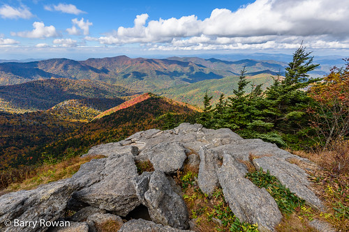
View from Mt. Mitchell
blueridgeparkway blueridgeparkwayaerial brp nc northcarolina mountains blueridgemountains trees wnc westernnorthcarolina travel vacation fall autumn fallcolors autumncolors leaves vertical bright colorful tourism visit explore aerial aerialphotographer aerialphotography asheville watershed nature watersupply aerialphoto foliage autumnleaves blueridgeparkwayphotos blueridgeparkwaymerchandise banardsville unitedstatesofamerica
Blue Ridge Parkway with Autumn Colors
blue autumn bw white mountain black mountains color fall water leaves print landscape paul photo blackwhite waterfall nc rocks image north northcarolina bluemountains falls ridge photograph waterfalls parkway cascades carolina prints 5d cascade blueridgemountains blueridgeparkway crabtree selective selectivecolor crabtreefalls westernnorthcarolina flowingwater ncmountains northcarolinamountains purser blueridgeparkwaynorthcarolina nclandscape ridgemountains picturesofmountains ncphotography forestmountains fandi3 northcarolinaphotography mountainsridge ridgeblue blueridgeparkwayandpicture blueridgeparkwayandpictures blueridgeparkwayandphotos blueridgeparkwayandphoto blueridgeparkwayandphotography paulpurserandcharlottenc paulpurser paulpurserandphotography blueridgeparkwayandprints blueridgeparkwayandwaterfalls blueridgeparkwayandwaterfall peacefulwaterfalls lynncoveviaductontheblueridgeparkway photosofncmountains blueridgeparkwayviaductpass blueridgemountainrangemap thencmountainsrule blackandwhiteprintofmountains mountainrangeviews fallncpic scenicnorthcarolina
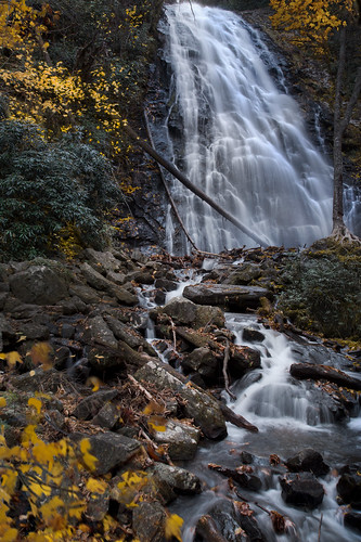
Crabtree Falls , On The Blue Ridge Parkway ©
bridge blue autumn usa mountains fall water beautiful leaves yellow photography waterfall woods nikon long exposure zoom north wide peaceful falls foliage ridge parkway nikkor overlook hdr crabtree brp
autumn wanes at Crabtree Falls
burnsville northcarolina unitedstates mountains hills blue ridge stone view vista landscape rock outcropping trail hike hiking nature trees blueridge north carolina deep gap fujifilm fuji x100f acros
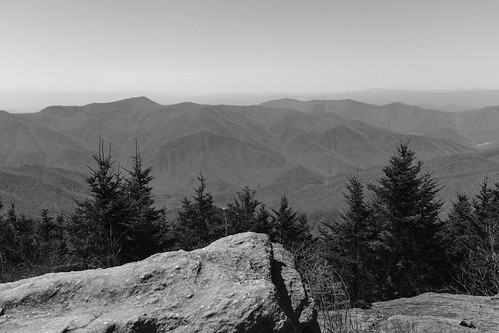
Deep Gap Trail
potential wnc 61011
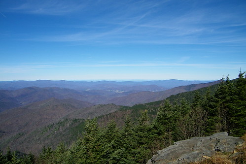
Western North Carolina Mountain View
sunrise waterfall northcarolina linvillegorge canon100400 northcarolinamountains canon1635f28 canon24105f4 uppercreekfalls wisemansview northcarolinawaterfalls durinsday canon6d whiteoakcreekfalls
White Oak Creek
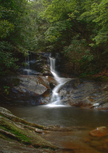
mountains nature pool creek waterfall nc moss rocks northcarolina hdr naturephotography pisgahnationalforest yanceycounty waterfallphotography fallsonwhiteoakcreek davidhopkinsphtotography ncpedia
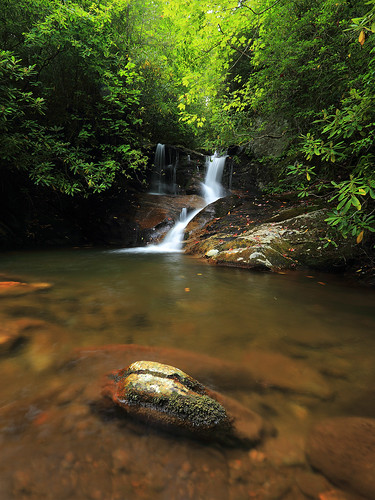
Falls on Whiteoak Creek
sunrise waterfall northcarolina linvillegorge canon100400 northcarolinamountains canon1635f28 canon24105f4 uppercreekfalls wisemansview northcarolinawaterfalls durinsday canon6d whiteoakcreekfalls
White Oak Creek Falls
park mountain black state north crest mount craig carolina mitchell
Black Mountain Crest Trail
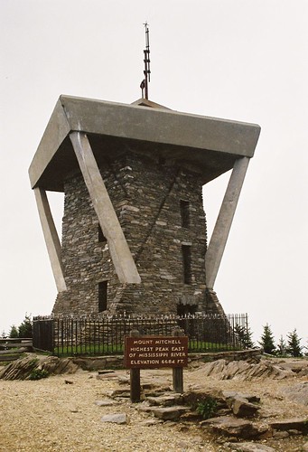
mountain america walking unitedstates hiking northcarolina blackmountains appalachianmountains hillwalking observationtower mountmitchell mountmitchellstatepark blackmountaincampground elishamitchell statehighpoint mountmitchelletrail
Mount Mitchell
signs cinema color nc theater movies mummy topaz burnsville yancey westernnc 3921 20080815
THE MUMMY 3
flowers sunset lake mountains fall leaves sunrise wnc 2015 mountainair 20150915and16and11and14and08 firstredleaf
Sunrise: Black Mountains, NC
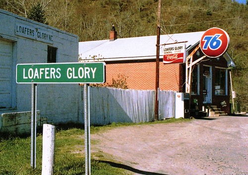
rural mountains nc 76 gas station country postcard view see scene seen image usc
Loafers Glory
park mountain black state cone hill north peak crest mount potato craig carolina mitchell balsam cattail
Black Mountain Crest Trail
penlandschoolofcrafts brianreid woodclasses
Penland School of Crafts (June 2011)
mountains churches northcarolina 2007
A rural mountain church in Kona, NC
park mountain black state north crest mount craig carolina mitchell
Black Mountain Crest Trail
penland pinholeblender
Dan's Porch
sota bigbutt summitsontheair elecraftkx3 ki4svm wh6le 88doublet hardrock50 w4ccm009
W4C/CM-009 - Big Butt View
trees leaves woods rivers wnc 2014 197 oldstructure 102114
Light On The Hill: WNC
whiteoakcreekfalls ncwaterfallsnorthcarolinawaterfalls
Whiteoak Creek Falls
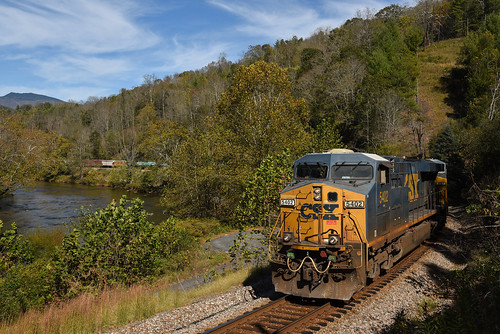
CSX Q692 @ Green Mountain
square squareformat iphoneography instagramapp uploaded:by=instagram foursquare:venue=4d4af4f77ac1a0902cf13ea9
The Cure
CSX @ Toecane, NC.
Cold Dunk
unitedstates northcarolina burnsville
Flow like water.jpg
landscape rock treess clouds carolinamt mitchellncnorth carolina nature hiking
Rock, Trees, and Low Clouds
northcarolina blackmountains bigtom northcarolinamountains canon1635f28 blackmountaincresttrail durinsday canon6d balsamcone
The Black Mountains
mountain black 17 mile ridge seventeen north carolina nc clouds fall colors river sky road houses trailer autumn
Black Mountain Range NC
rocks northcarolina waterfalls northcarolinamountains canon1635f28 whiteoakcreek northcarolinawaterfalls durinsday canon6d
White Oak Creek
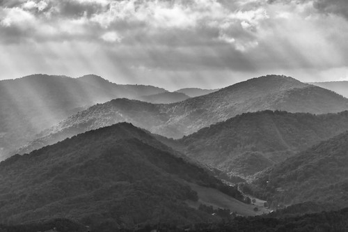
fograinsunsetgodsraystreeswncnc73142014ma western north carolina wnc burnsville nc mountains black white mountain landscape gods rays sunset
Blue Ridge Sunset (2014 07 03 -3796)
mountmitchellstatepark yancycounty burnsville mountmitchell nc northcarolina mountains blueridgemountains trees wnc westernnorthcarolina travel vacation fall autumn fallcolors autumncolors leaves tourism visit explore blueridgeparkway aerial aerialphotographer aerialphotography asheville watershed nature watersupply aerialphoto foliage autumnleaves unitedstatesofamerica usa vau1151394 11010937712
Autumn Colors of Foliage in Mount Mitchell State Park