Elevation of 43- Pohakealani Rd, Paauilo, HI, USA

Location: United States > Hawaii > Hawaii County > Paauilo >

Longitude: -155.41484

Latitude: 20.0120097

Elevation: 794m / 2605feet

Barometric Pressure: 92KPa

Elevation Map:

elevation map of 43- Pohakealani Rd, Paauilo, HI, USA

Satellite Map:

Satellite map of 43- Pohakealani Rd, Paauilo, HI, USA

Related Photos:

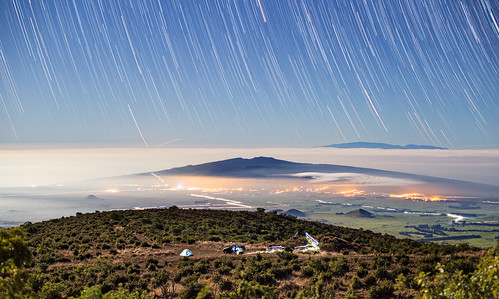
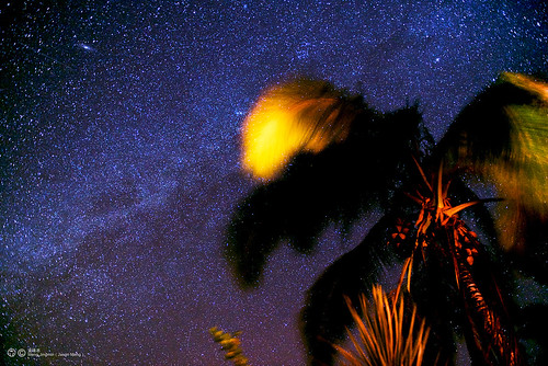
road longexposure camping camp skyline night stars 50mm hawaii mt f14 14 maui mount trail valley waimea r1 bigisland 50 bower maunakea startrails waipio kohala samyang rokinon kahinahina
Hawaii Star Trails
hawaii explore bigisland 212 keiki internationalpeaceday honokaa instantfave canonef70200mmf28lisusm goldenphotographer theunforgettablepictures miareucia peacedayparade
She Dared Me
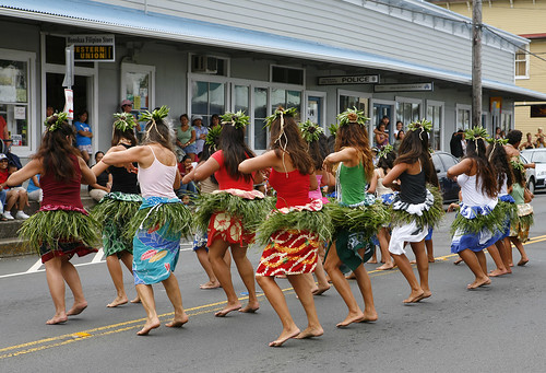
hawaii published hula parade explore 1234 bigisland feist canonef2470mmf28lusm wht youtube internationaldayofpeace honokaa youtubr hulahalauoaloha peacedayparade
Dancing In The Street
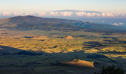
morning skyline sunrise 4wd maui valley waimea r1 maunakea waipio kohala kahala kahinahina
Sunrise Over Hawaii's Hamakua Coast
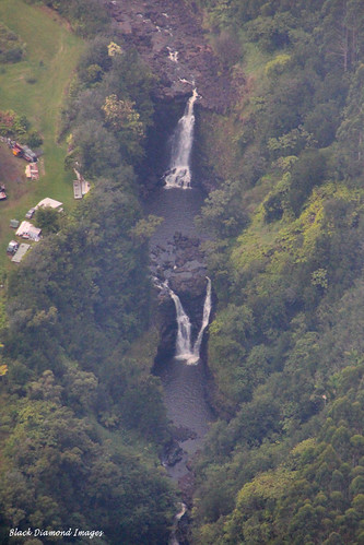
usa hawaii waterfall aerialview waterfalls aerialphoto bigisland waipio aerialphotographs aerialphotos paradisehelicopters
Unidentified Waterfall, Hilo to Waipio, Big Island, Hawaii
ocean sea home beautiful america hawaii nice view hi thebigisland honokaa
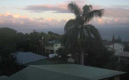
My Hawaiian home
hawaii 6ws bigisland honokaa canonef70200mmf28lisusm selectivelighting honokaaarmory highschoolgraduationceremony
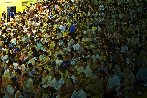
I Could Really Use A Pepsi
dawn
Good Morning
kite canon lights hawaii baseball aerial bigisland kap a650 flowform16 honokaa a650is
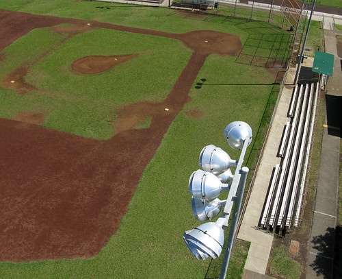
Pop Fly - A Ball's Eye View
geotagged geo:dir=2991 geo:lat=199615552251207 geo:lon=155453448473343
HW7692IMG_3551.JPG
View of House From Up Above
PFX Field Tour of Puu Waa Waa_2_25_17_HWMO Credit_25_View of makai area
geotagged geo:dir=302 geo:lat=200405220476455 geo:lon=155409985628492
HW4542IMG_1796.JPG
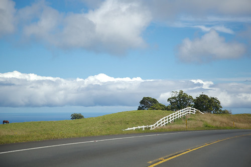
ocean blue sea green topf25 grass topv111 topv2222 clouds island hawaii topf50 topv555 topf75 pacific topv1111 topv999 explore shore topv777 top20landscape topf150 topv3333 topf100 climate topf333 78points interestingness23 lpday
Green meets Blue
ocean sunset beach nature clouds landscape hawaii nikon pacific pacificocean bigisland d810 nikond810 nikkor2470mm
DSC2032 O'Okala, The big island. Hawaii.
hawaii waimea bigisland kohala
Not Kentucky
usa cloud clouds airplane hawaii us nikon unitedstatesofamerica pacificocean nubes nikkor airborne avión nube helicóptero hamakua waipiovalley bigislandofhawaii honokaa d3s 2470mmf28g helipcoterride
Clouds over the Hamakua coast
square squareformat amaro iphoneography instagramapp uploaded:by=instagram foursquare:venue=4ffb5832e4b046a8145c2be9
So peaceful!
canon hawaii 7d 1635mmf28l
Orchard Sun
color tree way star hawaii landscapes scenery hilo milky
The Milky Way in Hilo,Hawaii
Kalopa Park
hawaii unitedstates bigisland paauilo
Big Island forest
instagramapp square squareformat iphoneography uploaded:by=instagram lordkelvin foursquare:venue=4bf5fb314d5f20a1d2a398fe
Stunning!
canon hawaii 7d 1635mmf28l
Orchard Sun 1
hawaii us unitedstates
site of my new ranch
animals hawaii scenery farms sd800is camera:camera=sd800is travel:country=usa travel:state=hawaii
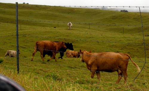
Parker Ranch Cows
2013-01-09 12.48.26
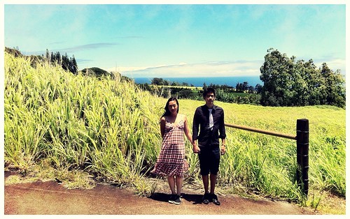
Honeymoon in Hawaii. So original.
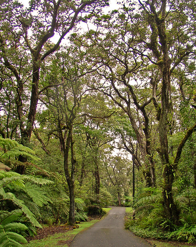
fern tree green grass forest island hawaii big state area recreation ferns kalopa
Kalopa State Recreation Area
square squareformat iphoneography instagramapp xproii uploaded:by=instagram foursquare:venue=4bf5fb314d5f20a1d2a398fe
The Forest meets the beach. :)
hawaii bigisland hilo kona
State Route 19 Between Waimea and Honoka'a, Hawaii
hawaii cattle cows bigisland
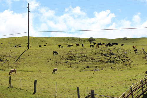
Cows I
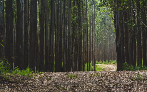
hawaii bigisland hilo kona
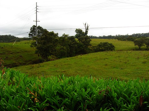
Forest on State Route 19, near Honoka'a, Hawaii