Elevation of 43- Paauilo Mauka Rd, Waimea, HI, USA
Location: United States > Hawaii > Hawaii County > Paauilo >
Longitude: -155.40949
Latitude: 20.0283451
Elevation: 578m / 1896feet
Barometric Pressure: 95KPa
Elevation Map:
Satellite Map:
Related Photos:

Dancing In The Street

She Dared Me

I Could Really Use A Pepsi
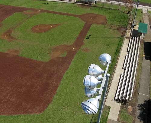
Pop Fly - A Ball's Eye View
HW7692IMG_3551.JPG

View of House From Up Above

HW4542IMG_1796.JPG
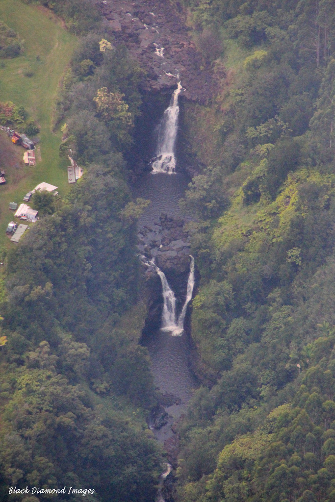
Unidentified Waterfall, Hilo to Waipio, Big Island, Hawaii
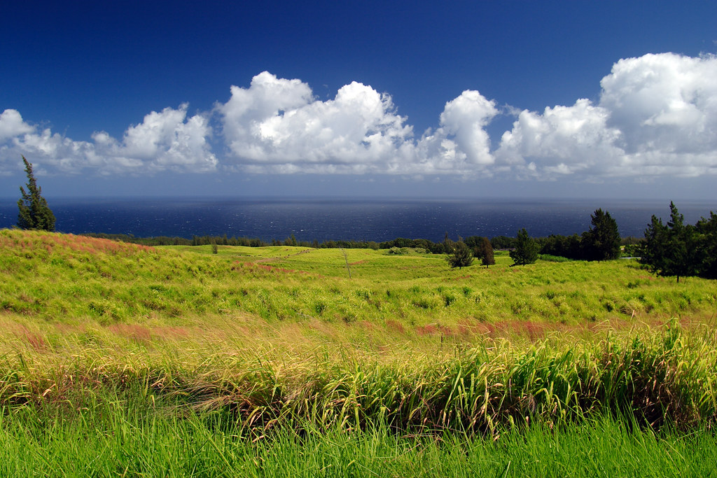
Green meets Blue

The Milky Way in Hilo,Hawaii
Not Kentucky
So peaceful!
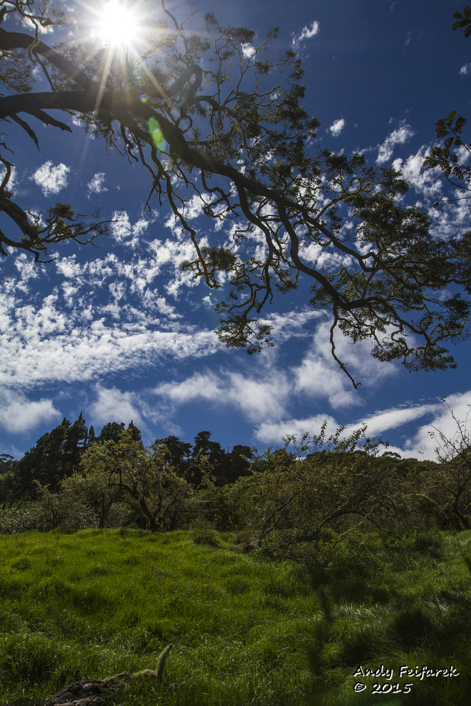
Orchard Sun

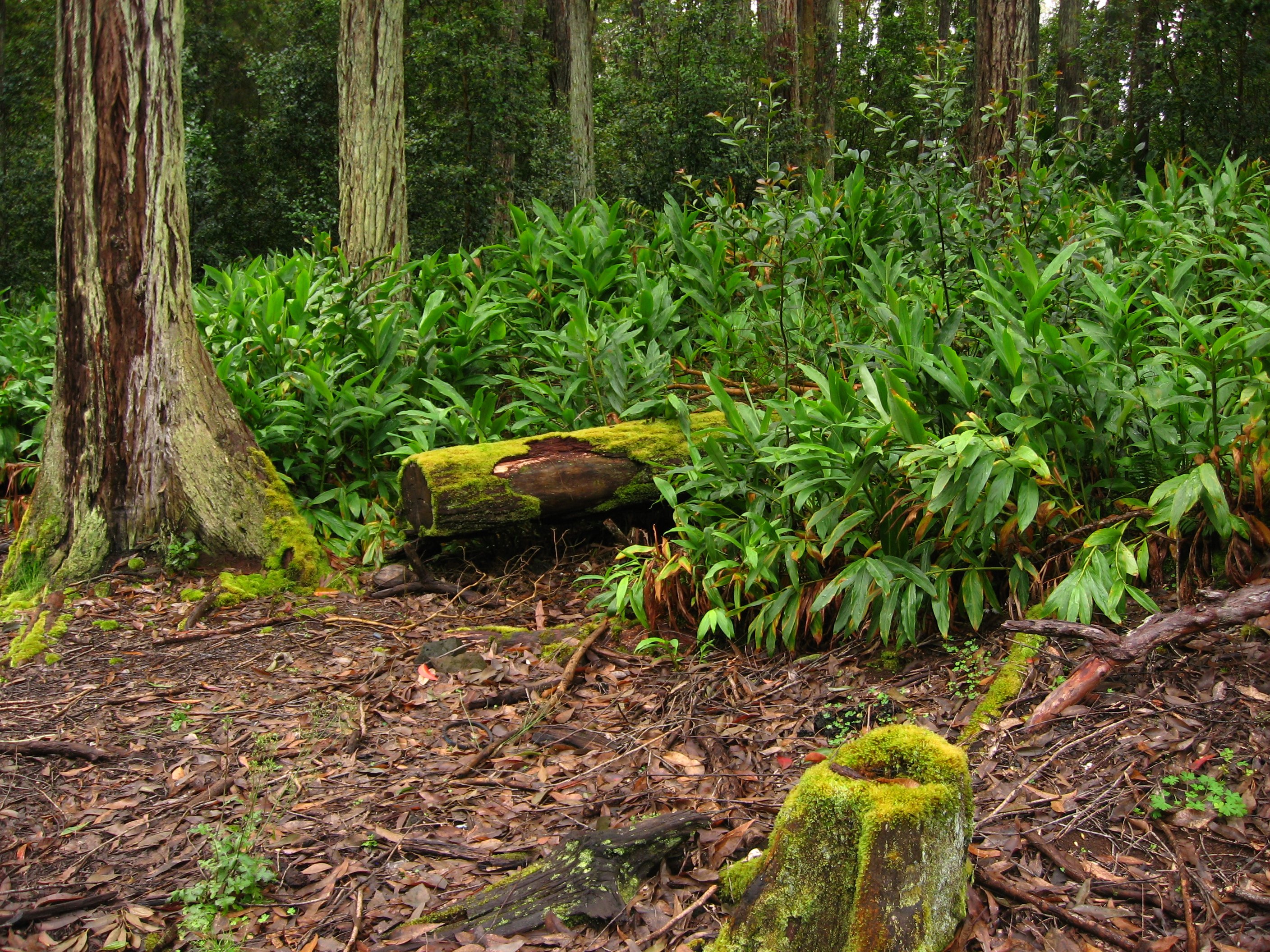
Big Island forest

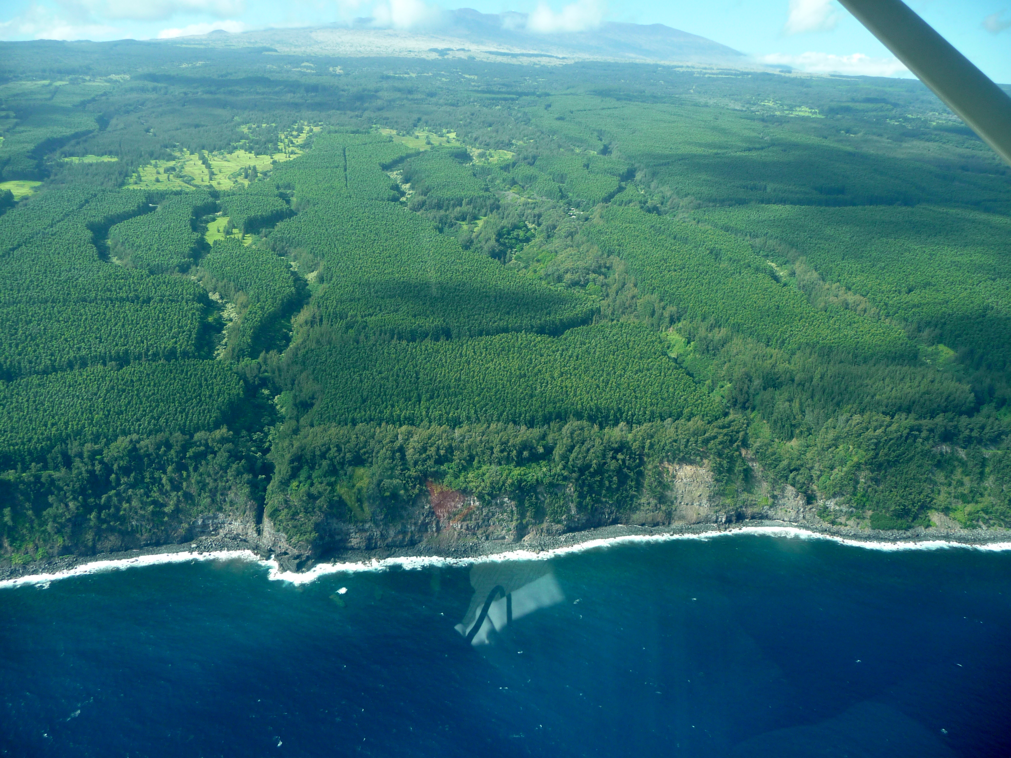
The ever crumbling coastline

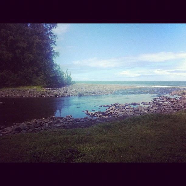
The Forest meets the beach. :)
Hilo Canyons
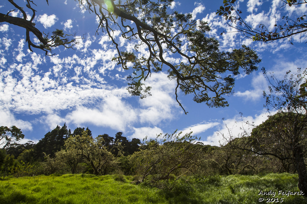
Orchard Sun 1

Honeymoon in Hawaii. So original.

A boring part of the coastline

Kalopa State Recreation Area
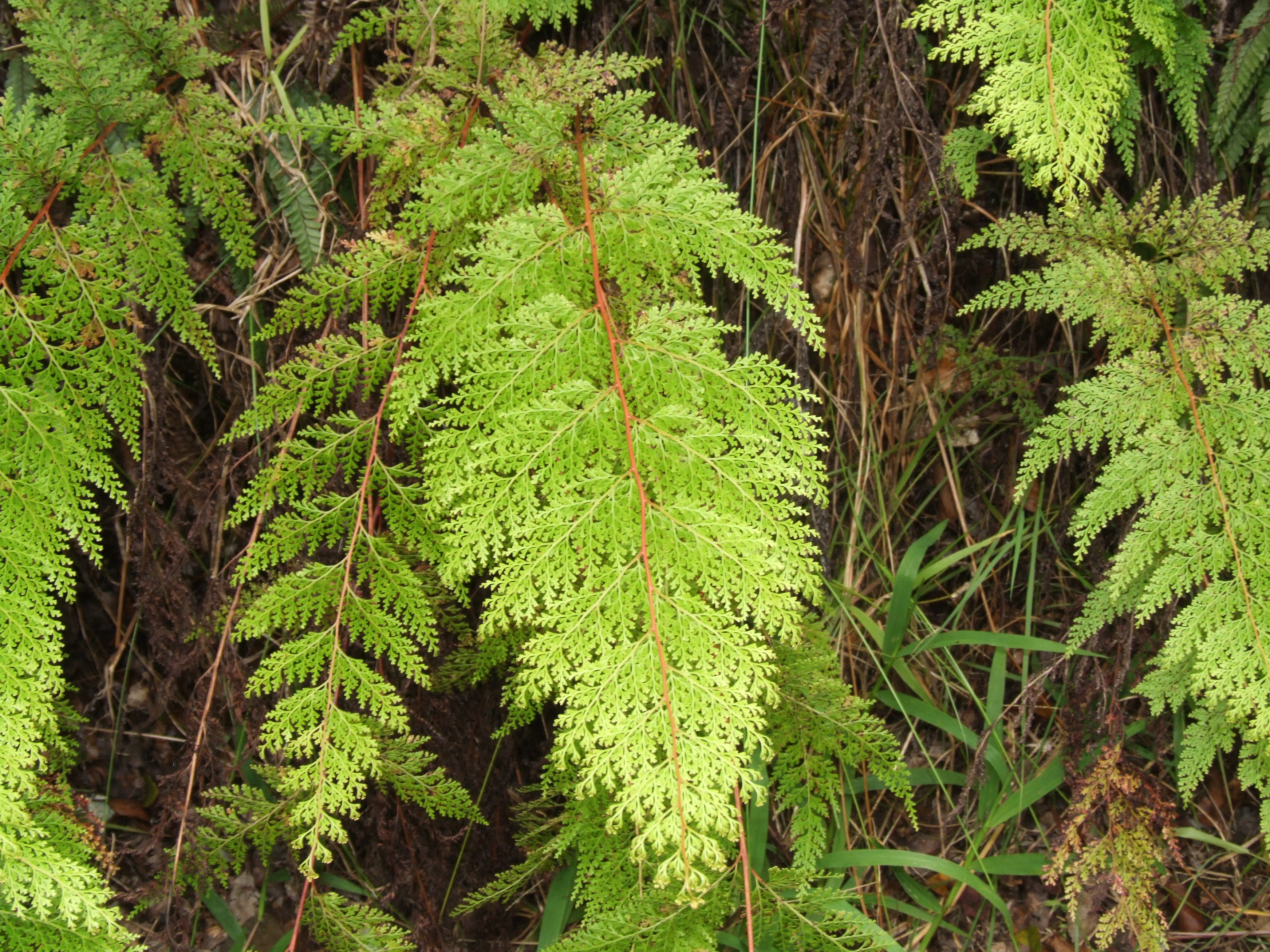
Sphenomeris chinensis fronds

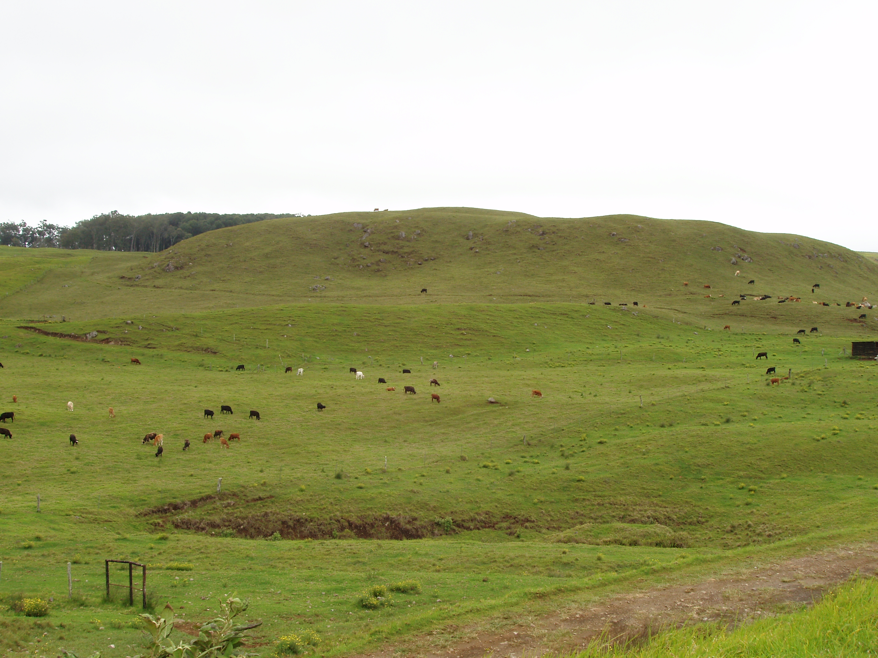
Parker Ranch Cows
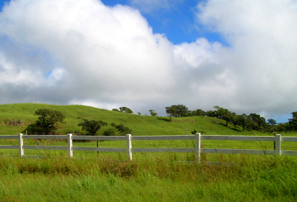
State Route 19 Between Waimea and Honoka'a, Hawaii
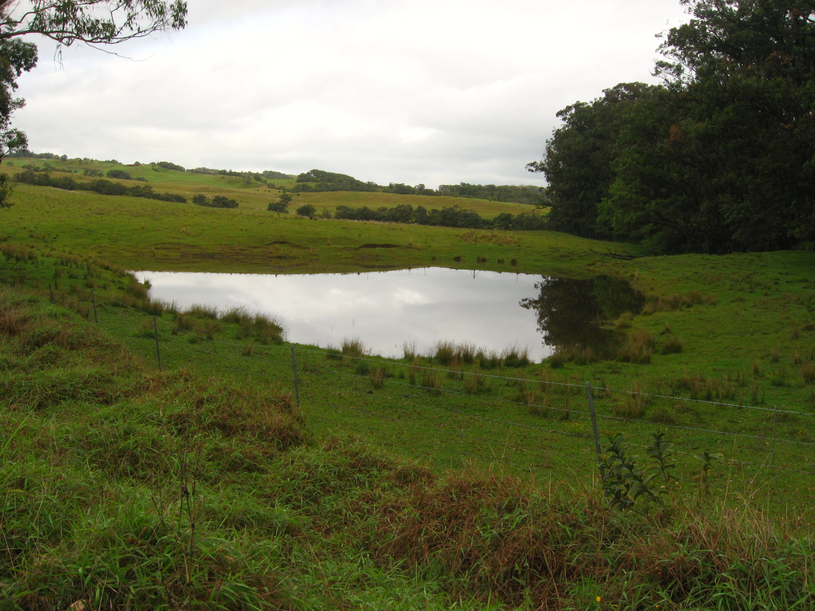
Cattle ranch and horseback ride
Forest on State Route 19, near Honoka'a, Hawaii
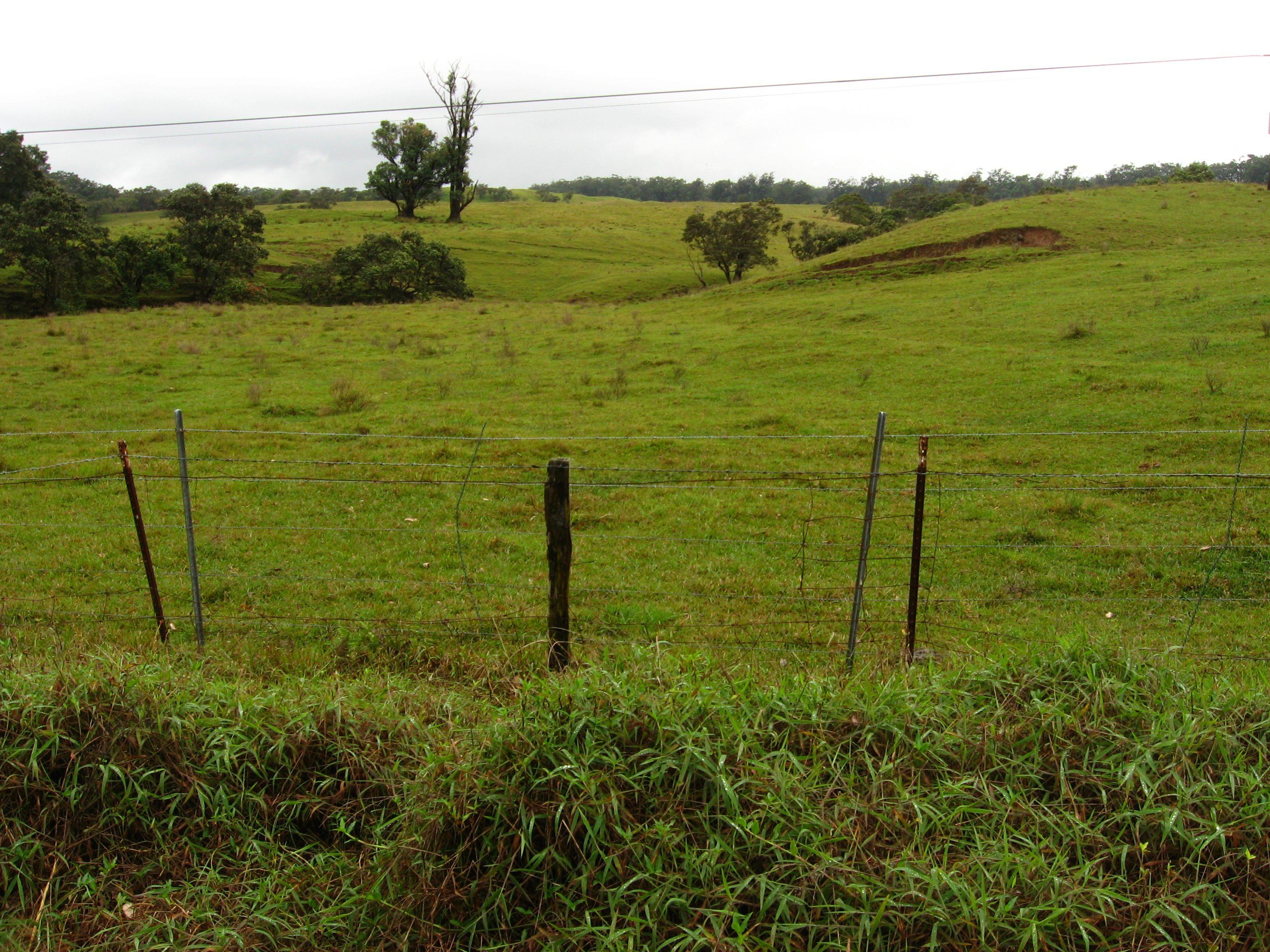
State Route 19 Between Waimea and Honoka'a, Hawaii
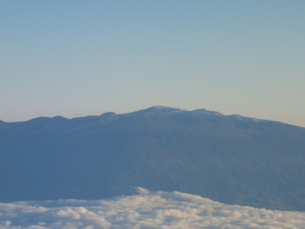
Mauna Kea summit with observatories
State Route 19 Between Waimea and Honoka'a, Hawaii
Topographic Map of 43- Paauilo Mauka Rd, Waimea, HI, USA
Find elevation by address:

Places near 43- Paauilo Mauka Rd, Waimea, HI, USA:
43-1973 Paauilo Mauka Rd
43-1962 Paauilo Mauka Rd
43-1984 Paauilo Mauka Rd
43-2109 Kaapahu Rd
43-2109 Kaapahu Rd Lot 9-b
43-2109 Kaapahu Rd Lot 9-b
43-2109 Kaapahu Rd
43-2109 Kaapahu Rd
43-2109 Kaapahu Rd
43-1972 Paauilo Mauka Rd
43-2133 Pohakea Mauka Rd
44-3265 Ho'o Kahua Rd
43-1570 Pohakealani Rd
43 Pohakealani Rd
44-2235 Paauilo Mauka Rd
Pohakealani Road
Pohakealani Road
44-4539 Waikaalulu Rd
44-4594 Waikaalulu Rd
Waikaalulu Road
Recent Searches:
- Elevation of Corso Fratelli Cairoli, 35, Macerata MC, Italy
- Elevation of Tallevast Rd, Sarasota, FL, USA
- Elevation of 4th St E, Sonoma, CA, USA
- Elevation of Black Hollow Rd, Pennsdale, PA, USA
- Elevation of Oakland Ave, Williamsport, PA, USA
- Elevation of Pedrógão Grande, Portugal
- Elevation of Klee Dr, Martinsburg, WV, USA
- Elevation of Via Roma, Pieranica CR, Italy
- Elevation of Tavkvetili Mountain, Georgia
- Elevation of Hartfords Bluff Cir, Mt Pleasant, SC, USA