Elevation of 41 Carlisle Rd, Tijeras, NM, USA
Location: United States > New Mexico > Bernalillo County > Tijeras >
Longitude: -106.32196
Latitude: 34.983893
Elevation: 2326m / 7631feet
Barometric Pressure: 76KPa
Elevation Map:
Satellite Map:
Related Photos:

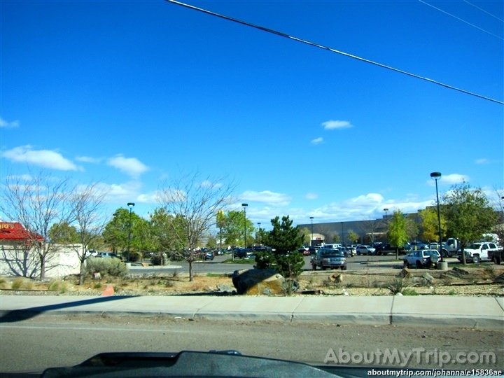
looking west

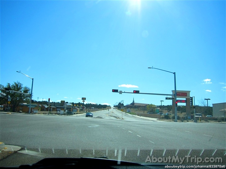
Here's the other side

Jeep with a view

Route 66, East of Albuquerque, New Mexico 1975

12 09 28 My View From Here: Horseshoe Valley.

12 09 29 My View From Here: Treetoptrekking.

New Mexico

New Mexico at 10,000'

Hawk's View

New Mexico
New Mexico

New Mexico

New Mexico

New Mexico

New Mexico
New Mexico

New Mexico

Concrete plant

Madrid, NM view.

early morning Chilili NM
Dog Head Fire (2)

Bugs Bunny & The Roadrunner

Dynamic desert

rvp50_135_0446.jpg

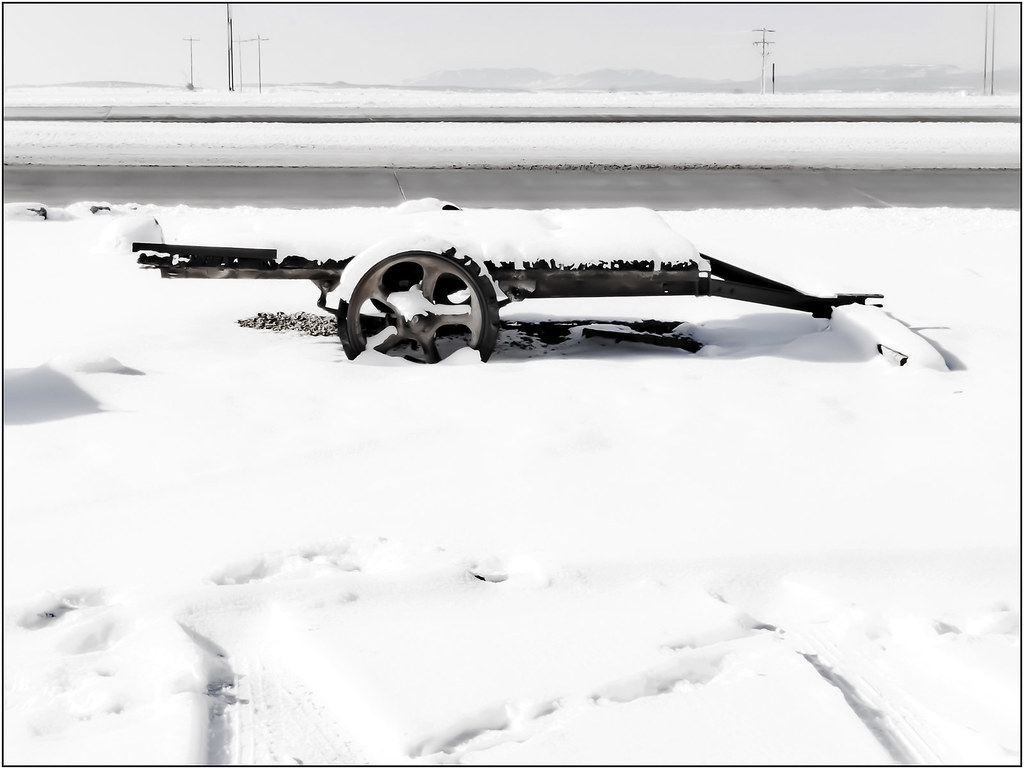
Desert landscape (winter)

rvp50_135_0447.jpg

South Crest Trail

South Mountain

South Crest Trail

Faulty Trail

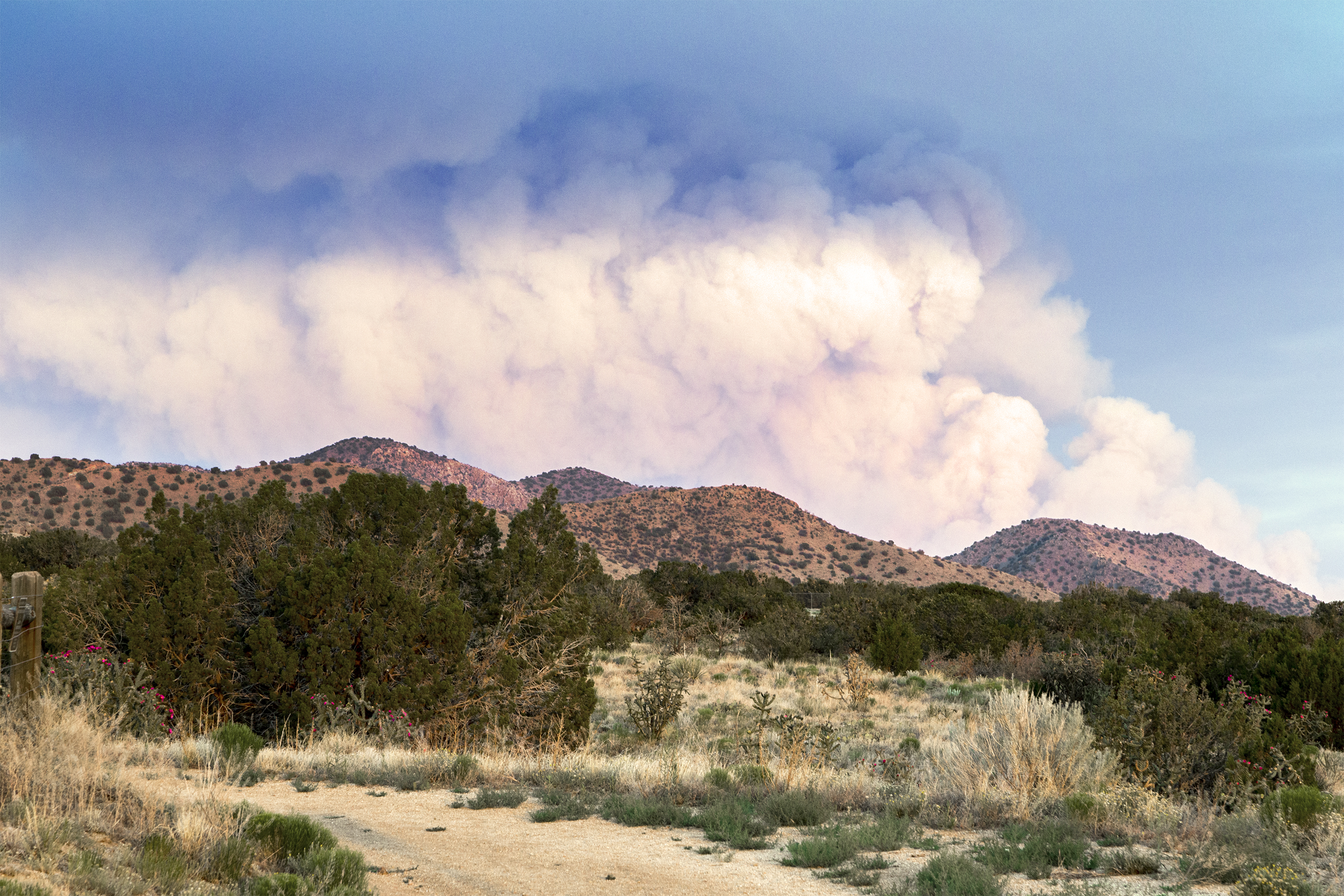
Dog Head Fire

1 copter bucket brigade

Rock Lobster

South Crest Trail

Erysimum capitatum

3 Gun Sunset
White Out
Topographic Map of 41 Carlisle Rd, Tijeras, NM, USA
Find elevation by address:

Places near 41 Carlisle Rd, Tijeras, NM, USA:
Tranquillo Pines
3 Heather Heights Ln
Ramblewoods
38 Easy St
54 Crestwood Loop Dr
2 Fisher Rd
4 Rampart Rd
Crestwood Manor
Juan Tomas Road
Juan Tomas Rd, Tijeras, NM, USA
24 Lower Juan Tomas Rd
12 Spring Song Ln
62 Mcginnis Rd
Juan Tomas
Mountain Valley Trail
Sandia Mountain Ranch
63 Longview Dr
Twin Pines
7 Sandia Mountain Ranch Dr
19 Cam Del Santo Nino
Recent Searches:
- Elevation of Corso Fratelli Cairoli, 35, Macerata MC, Italy
- Elevation of Tallevast Rd, Sarasota, FL, USA
- Elevation of 4th St E, Sonoma, CA, USA
- Elevation of Black Hollow Rd, Pennsdale, PA, USA
- Elevation of Oakland Ave, Williamsport, PA, USA
- Elevation of Pedrógão Grande, Portugal
- Elevation of Klee Dr, Martinsburg, WV, USA
- Elevation of Via Roma, Pieranica CR, Italy
- Elevation of Tavkvetili Mountain, Georgia
- Elevation of Hartfords Bluff Cir, Mt Pleasant, SC, USA