Elevation of 40 Bruce St, Clark's Harbour, NS B0W 1P0, Canada

Location: Canada > Nova Scotia > Shelburne County > Barrington > Clark's Harbour >

Longitude: -65.639365

Latitude: 43.445841

Elevation: 2m / 7feet

Barometric Pressure: 101KPa

Elevation Map:

elevation map of 40 Bruce St, Clark's Harbour, NS B0W 1P0, Canada

Satellite Map:

Satellite map of 40 Bruce St, Clark's Harbour, NS B0W 1P0, Canada

Related Photos:

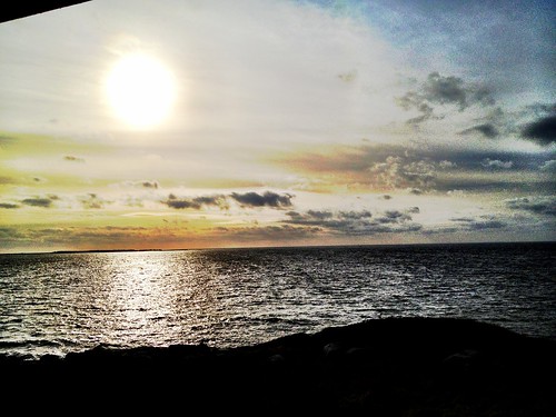
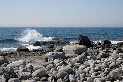
ocean canada nova scotia
View from nannies.
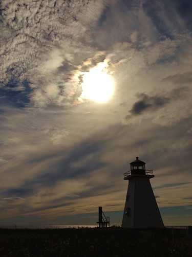
ocean old travel light sky sun lighthouse canada building apple water clouds coast novascotia view country peaceful historic daytime atlanticocean tranquil eastcoast cellphonephoto atlanticcoast barringtonbay iphone5 waltphotos lordwalt baccaropointlighthouse
IMG_2190 (3)
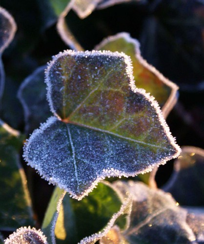
morning winter cold leaves frost novascotia crystal ivy explore arr sunlit geotag shiningstar allrightsreserved hederahelix splendiferous anawesomeshot aplusphoto flickrhearts colourartaward nottobeusedwithoutmypermission magicalflowersplantsandtrees copyrightjeanknowles
Life on the edge
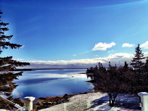
ocean canada nova scotia
View from aunt Wandas.
geotagged geo:lat=43450052 geo:lon=65470962
Baccaro, Nova Scotia
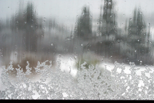
winter snow storm cold novascotia arr geotag allrightsreserved noreaster nottobeusedwithoutmypermission stayininwithamugofhotchocolate copyrightjeanknowles
Through a glass coldly
geotagged geo:lat=43497951 geo:lon=65697813
Shag Harbour, Nova Scotia
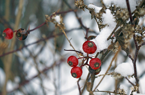
winter red snow cold grey novascotia berries arr geotag allrightsreserved atwoodsbrook nottobeusedwithoutmypermission copyrightjeanknowles
A hint of red
geotagged geo:lat=43498573 geo:lon=65697212
Shag Harbour, Nova Scotia
geotagged geo:lat=43497639 geo:lon=65697727
Shag Harbour, Nova Scotia
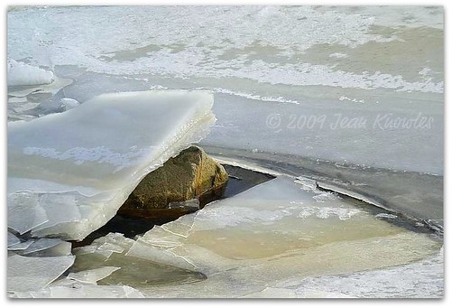
ocean cold ice pool rock frozen novascotia tide flats arr lowtide geotag tidal allrightsreserved saltwater shelburnecounty doctorscove freshbrook nottobeusedwithoutmypermission
Low tide
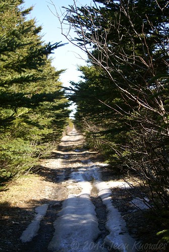
road trees snow spring novascotia shadows arr geotag remnants allrightsreserved ruts shelburnecounty atwoodsbrook nottobeusedwithoutmypermission ©2011jeanknowles
The last of the snow
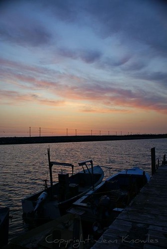
sunset water clouds boats sundown dusk arr geotag picnik allrightsreserved causeway goldenglobe abigfave nottobeusedwithoutmypermission betterthangood theperfectphotographer goldstaraward skylinephoto digifotopro copyrightjeanknowles
Northeast Point sunset
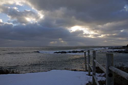
ocean winter sky clouds fence evening waves novascotia explore arr geotag shiningstar allrightsreserved prospectpoint supershot beautifulcapture nottobeusedwithoutmypermission copyrightjeanknowles
Evening light
canada novascotia capesableisland
Daniel's Head Beach
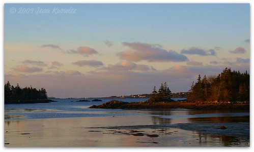
ocean morning trees clouds sunrise reflections dawn islands early novascotia cove horizon arr lowtide geotag allrightsreserved shelburnecounty atwoodsbrook nottobeusedwithoutmypermission ©2009jeanknowles
The light of early morning
canada novascotia baccaro barringtonwoolenmillmuseum
Barrington, NS
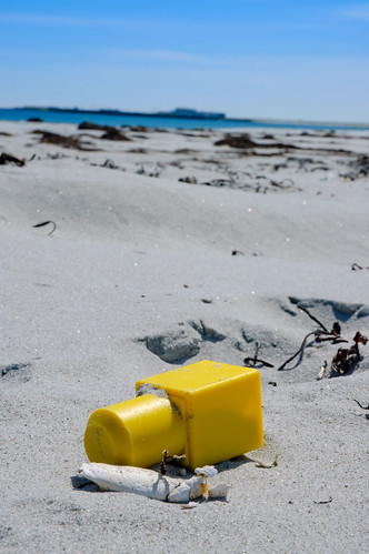
nikon novascotia d70 nikkor 2011 barringtonpassage 180700mmf3545 2011novascotia
Toy Story
novascotia places shelburneco
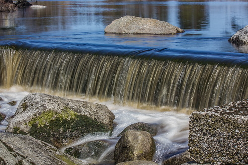
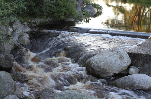
Main Spillway, Barrington Woolen Mill Dam
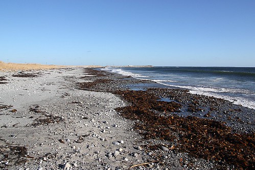
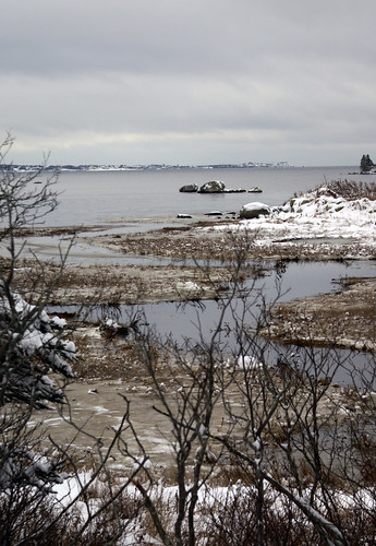
ocean winter cold water grey novascotia shore arr geotag allrightsreserved capesableisland atwoodsbrook nottobeusedwithoutmypermission copyrightjeanknowles
Winter shore under a leaden sky
day novascotia cloudy can kanada sandhillsbeach villagedale
Dünen
winter novascotia snowstorm arr geotag allrightsreserved crepuscularrays noreaster nottobeusedwithoutmypermission moregoodluckthangoodplanning copyrightjeanknowles
Knock on wood!
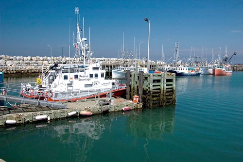
novascotia can kanada clarksharbour
Am "The Hawk" Beach
canada rural truck geotagged novascotia south tip seafood smalltown trucking southerly clarksharbour deiver geo:lat=43430359 geo:lon=65619278
Clarks Harbour, NS
novascotia can kanada clarksharbour southwestmainlandweymouth
Clark's Harbour
novascotia places shelburneco
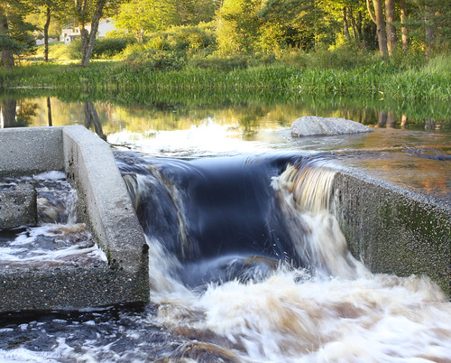
Calm Evening At Barrington Woolen Mill Dam
novascotia can kanada sandhillsbeach villagedale
Am Strand
novascotia can kanada clarksharbour
Am "The Hawk" Beach
novascotia can kanada clarksharbour
Am "The Hawk" Beach