Elevation of 3 Noontootla Over, Blue Ridge, GA, USA
| Latitude | 34.7343152 |
|---|---|
| Longitude | -84.2080902 |
| Elevation | 684m / 2244feet |
| Barometric Pressure | 934KPa |
Related Photos:

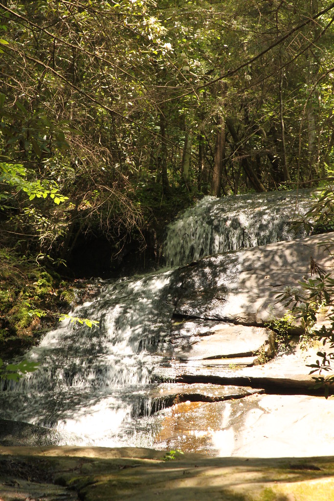
Sea Creek Falls
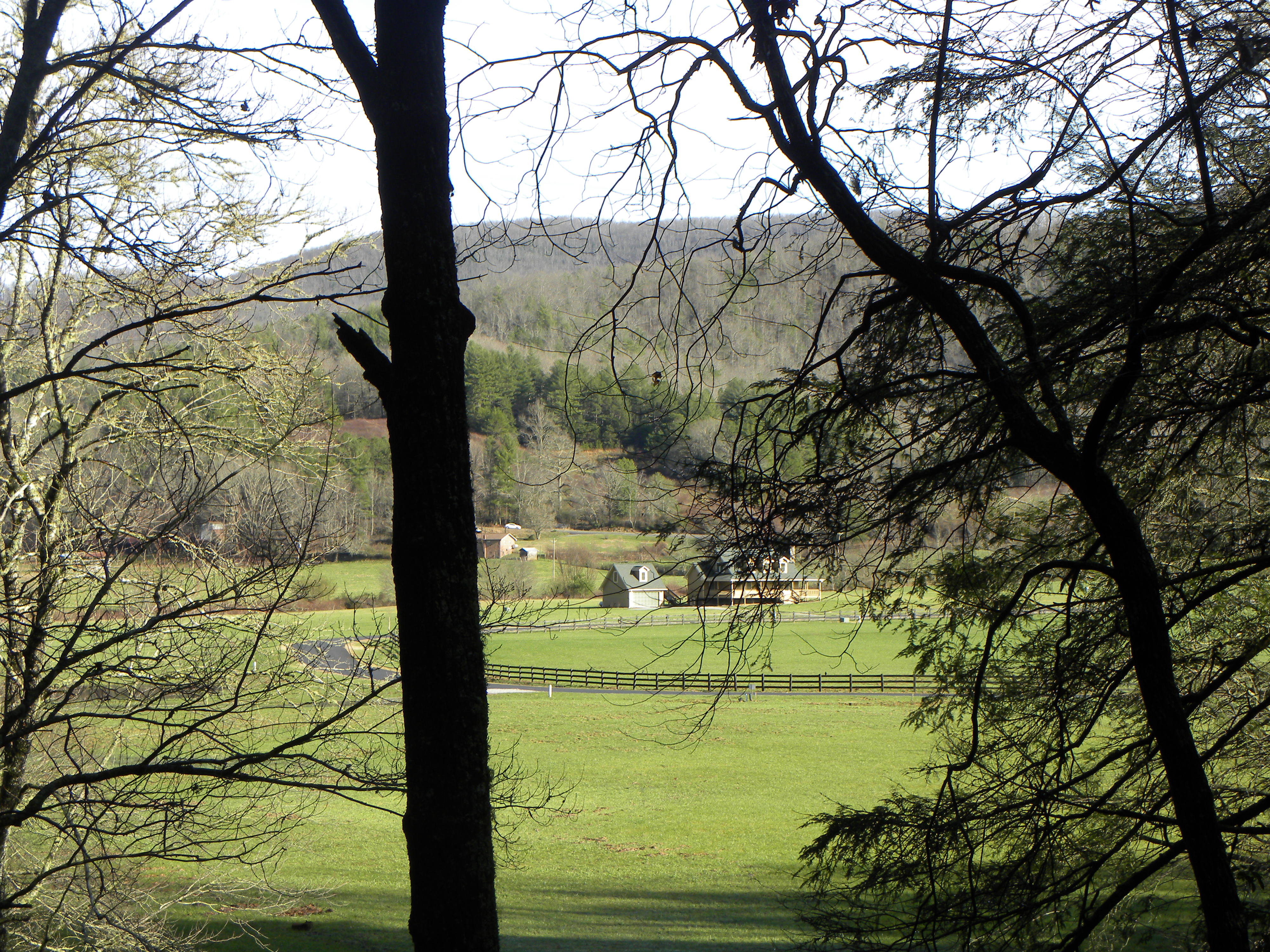
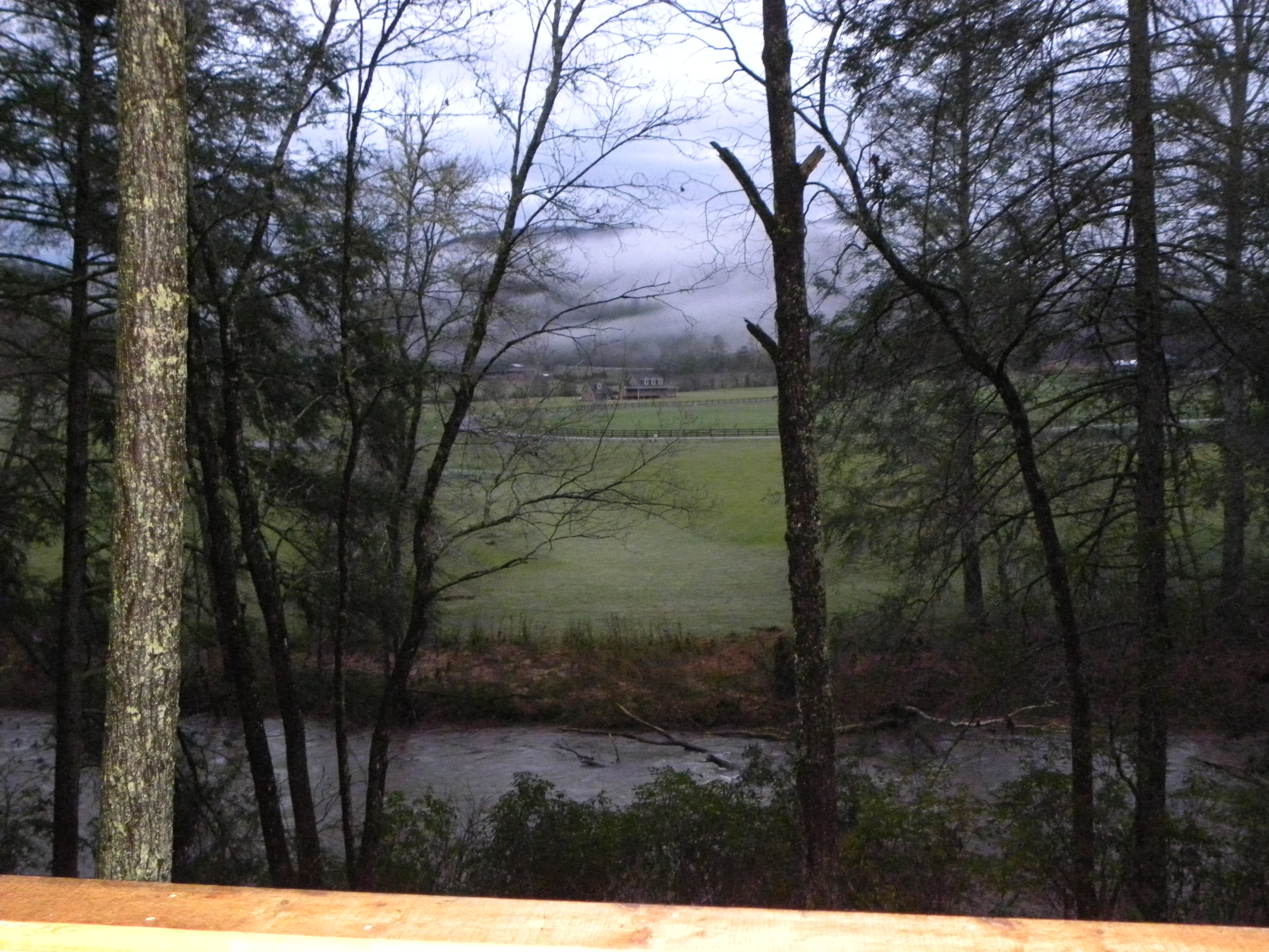
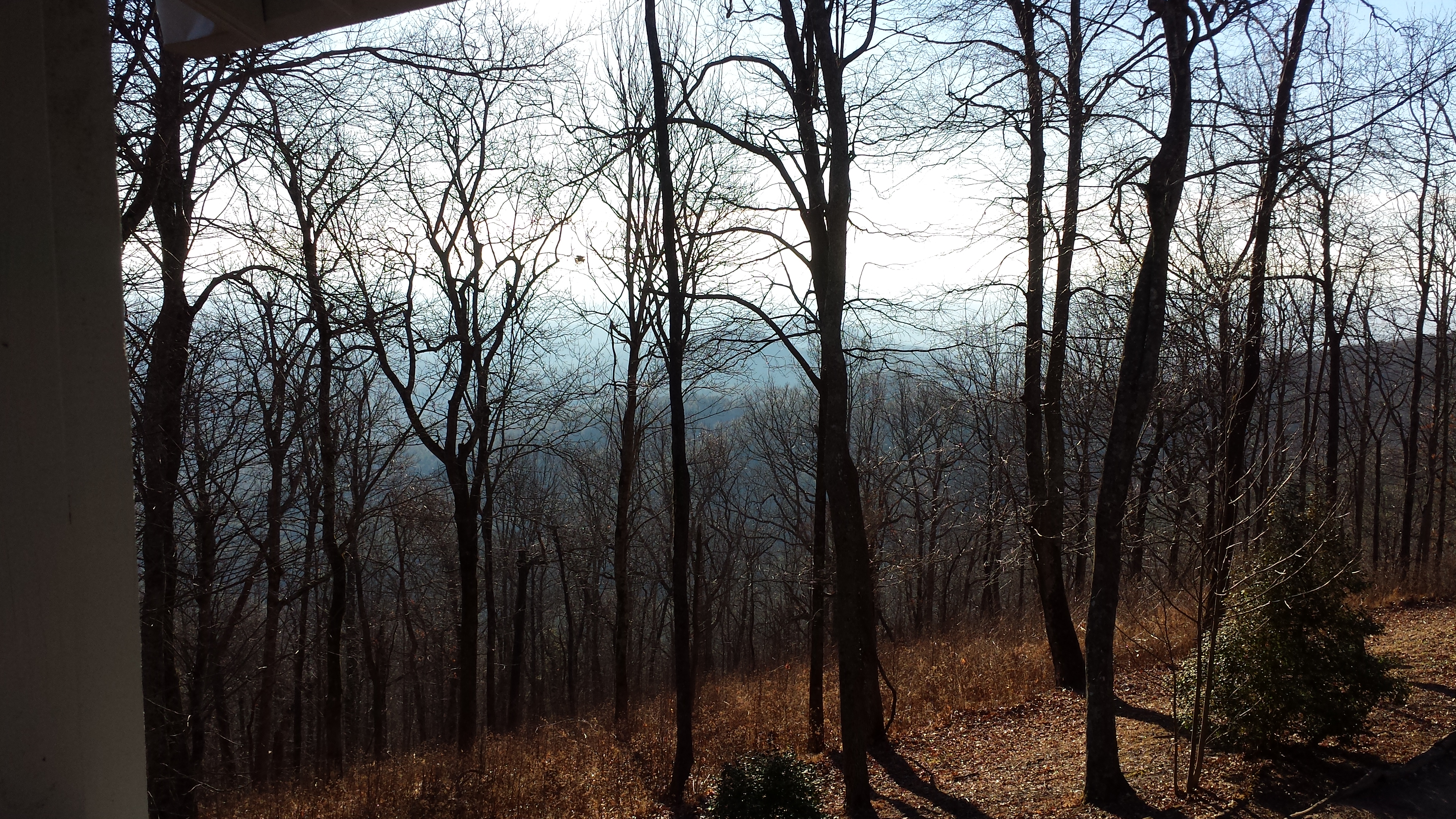
View from Back Porch
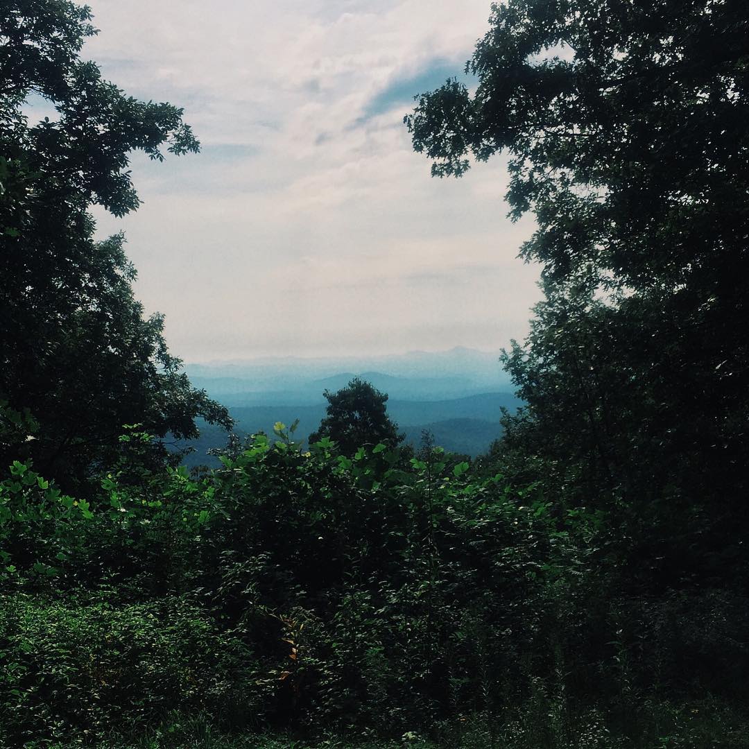
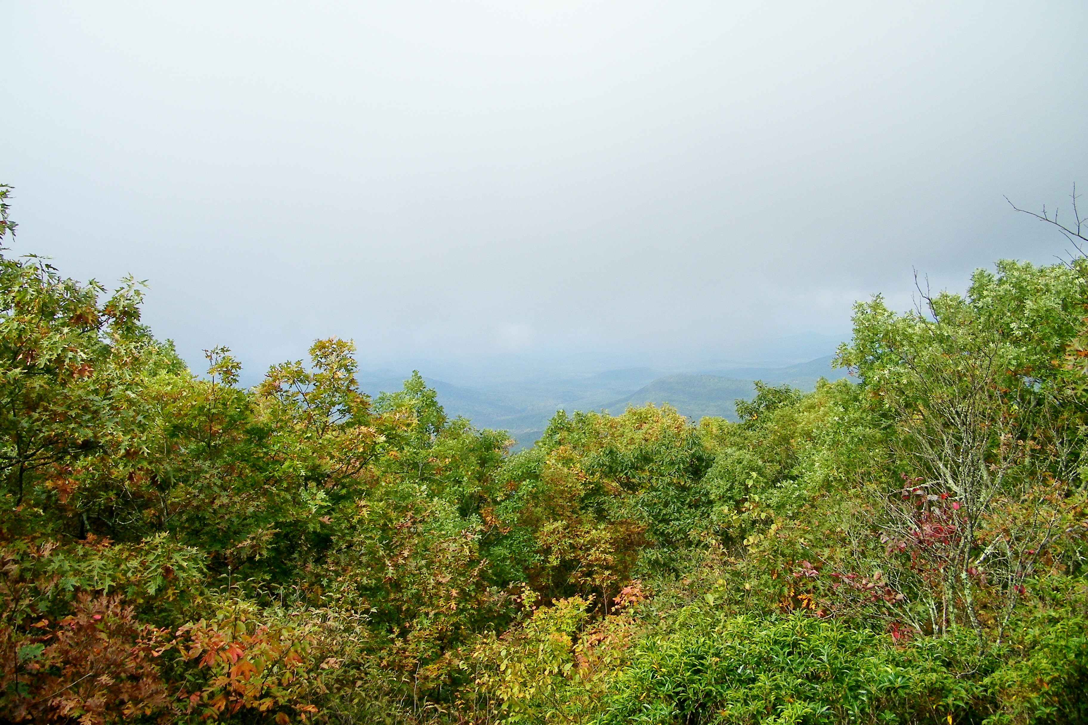
View from #hikeinn #at #trailrunning

My 63.5 Ford Falcon Sprint with the silos
Cooper Creek , GA
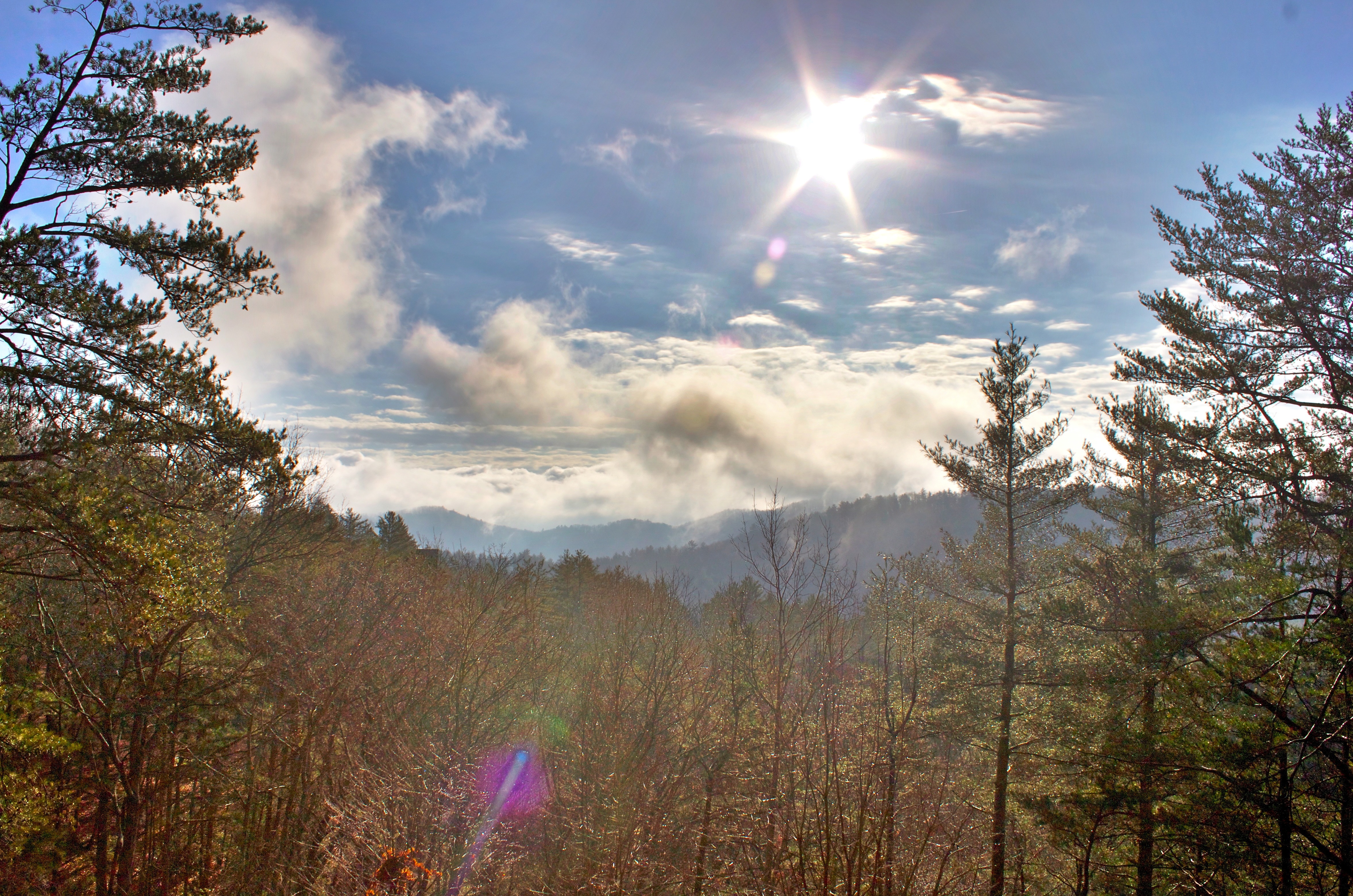
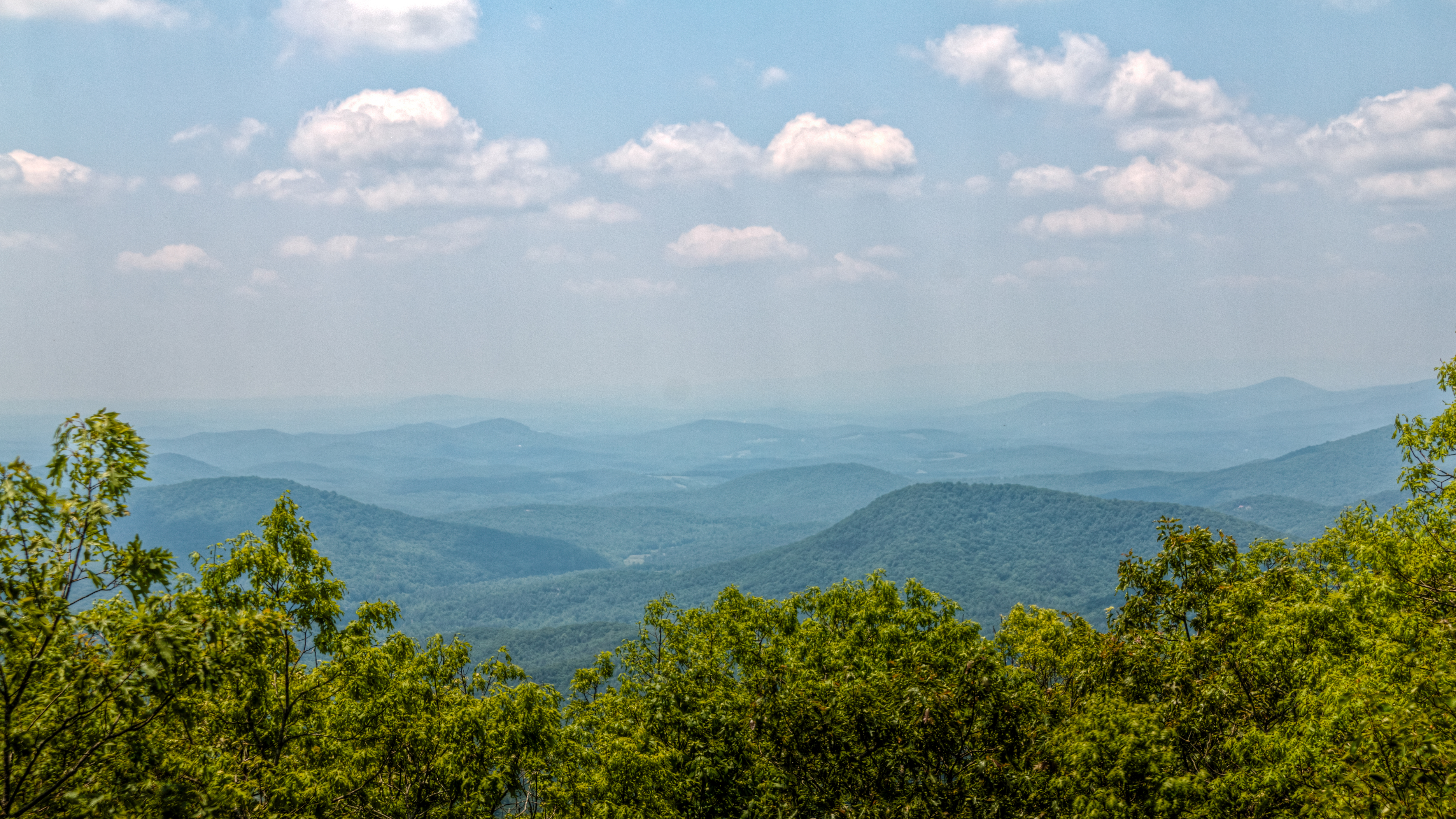
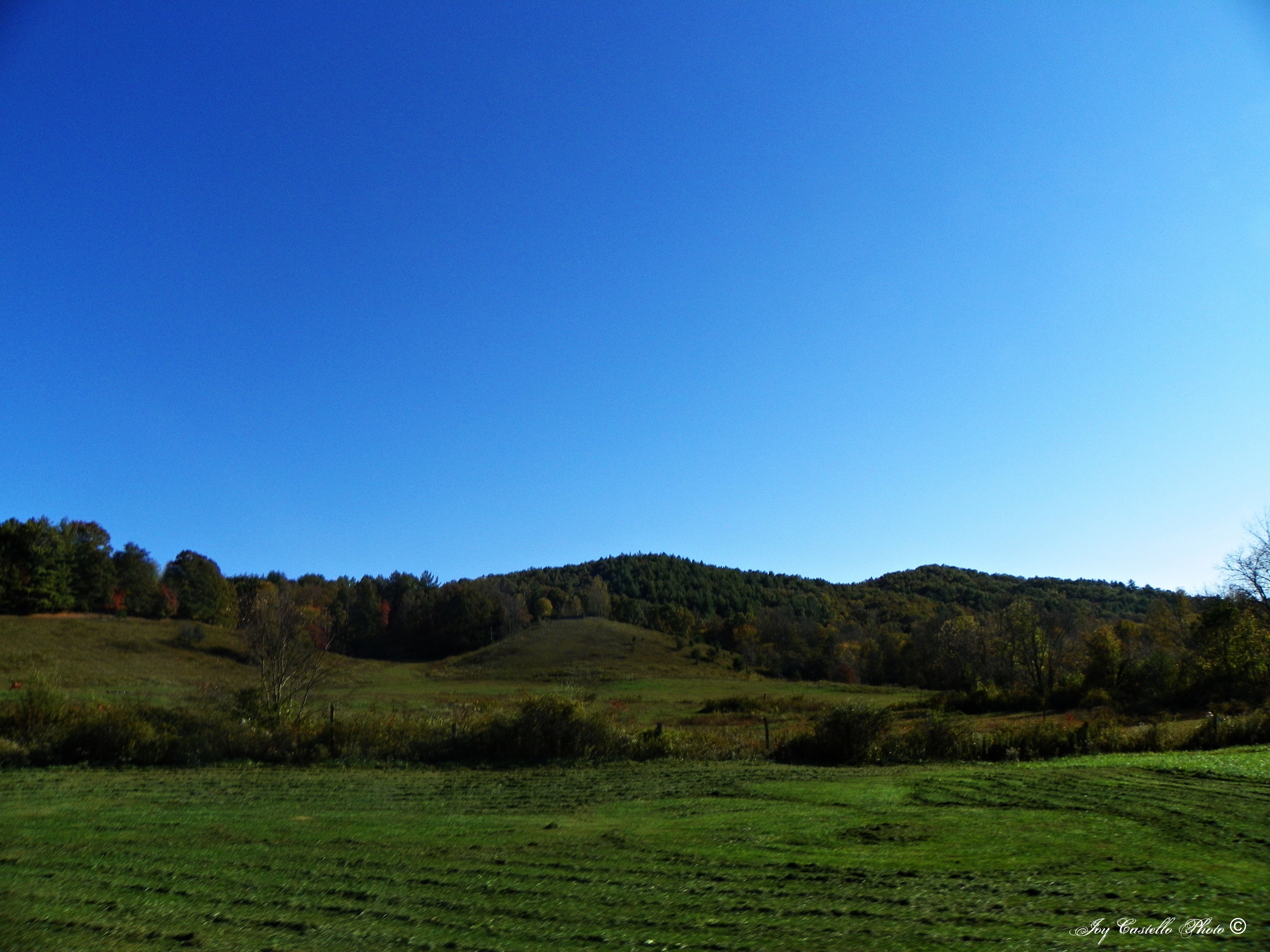
mountain view1 (hdr)

Georgia sunset ...

cabin view -=HDR=-

View From South Brawley Ridge
View from the office tonight.
View From NW Side of Weeks Mtn

Fairly Unobstructed View
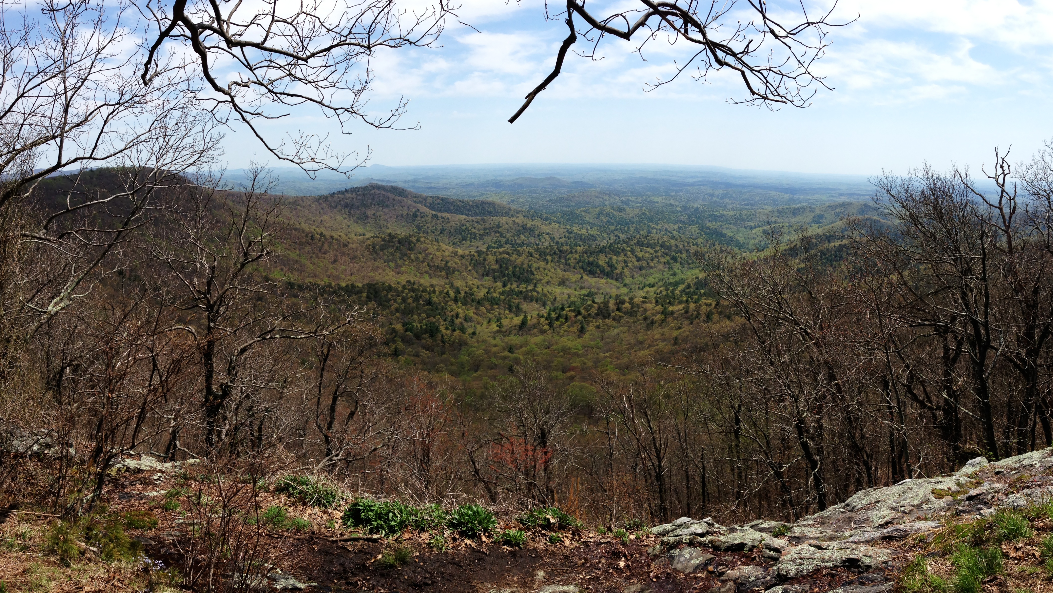
View from Springer Mountain

View Off Of The Benton MacKaye Trail
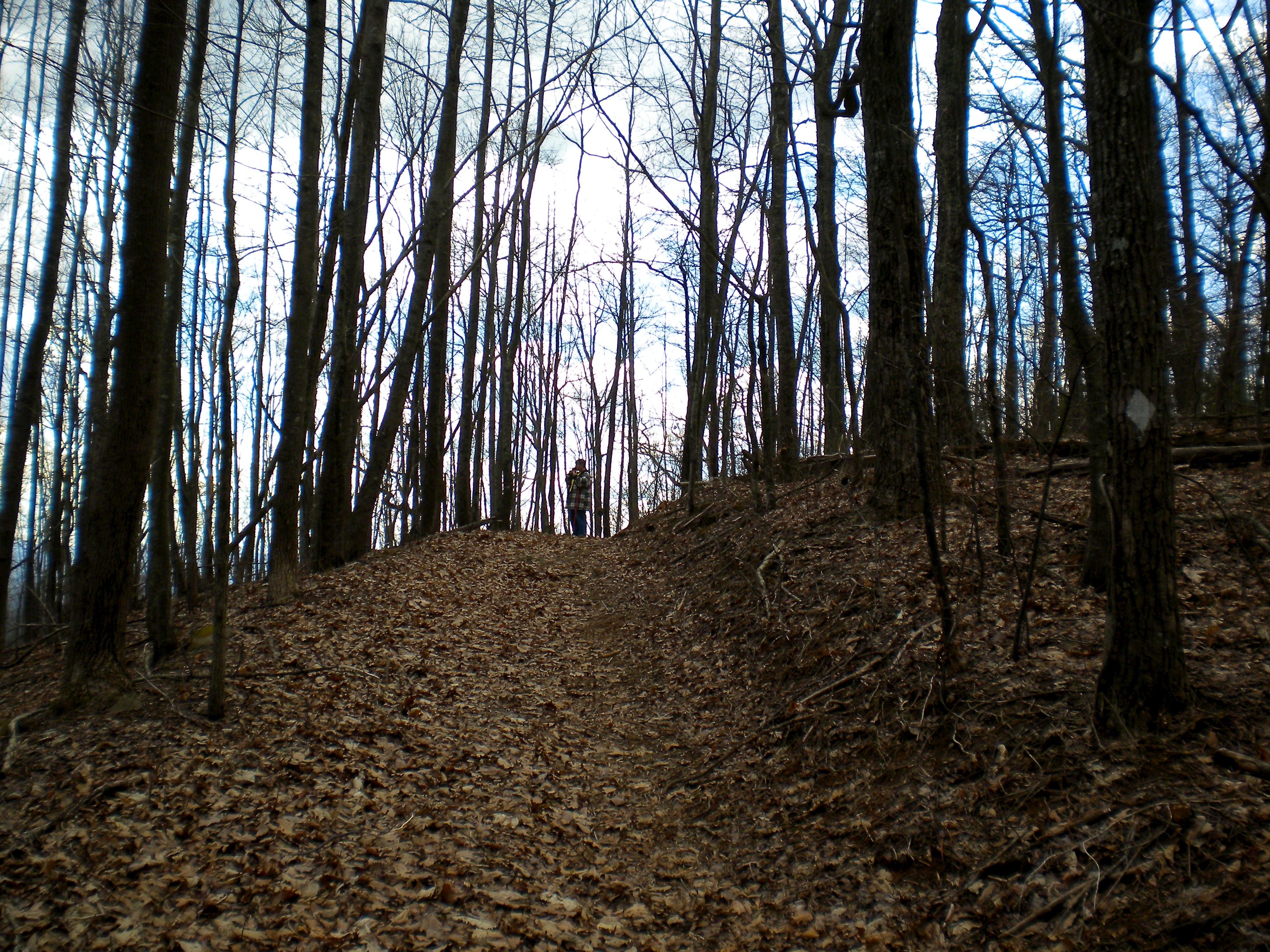
First view of Springer Mountain summit
Springer Mountain
View Off Of The Benton MacKaye Trail
IMG_1290.jpg
Cul-de-sac View of Mountains in Fannin County, Georgia
Morning Fog
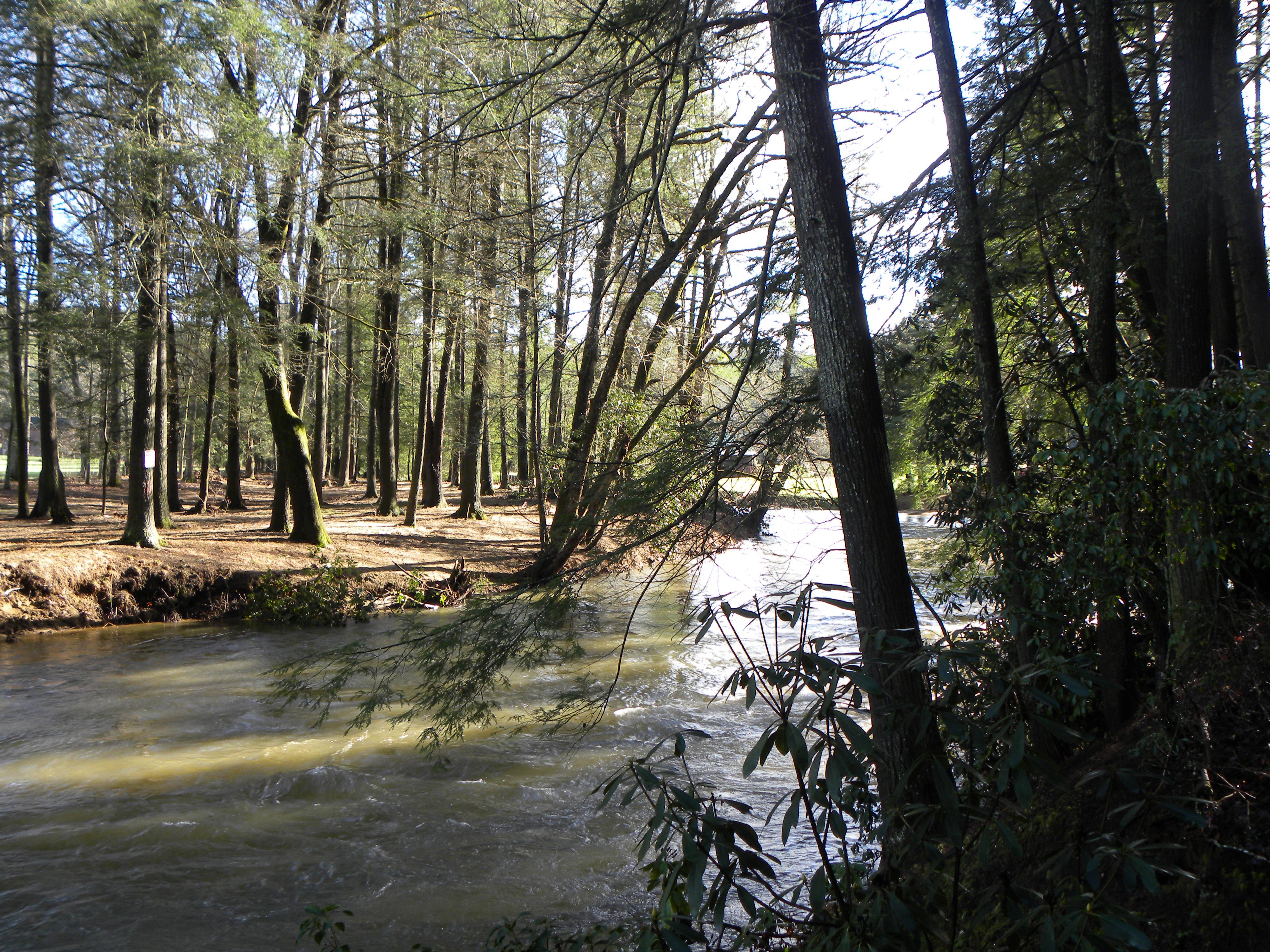
River View

Sea Creek Falls-Toby Gant-2014
Springtime's Magic
Deadennen Mtn
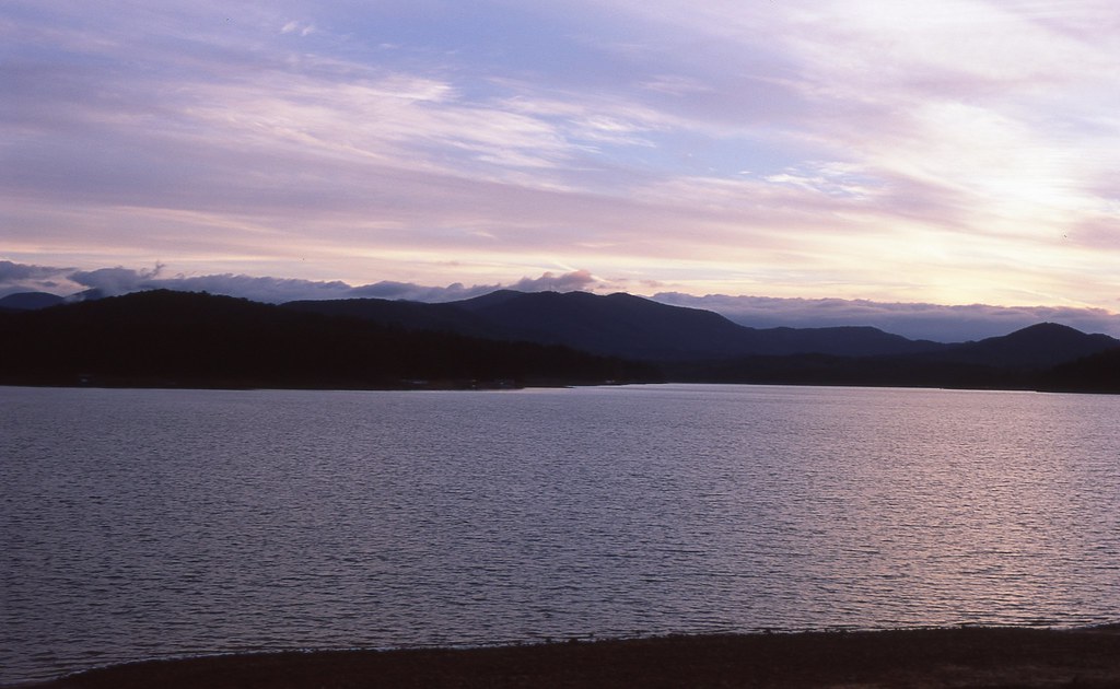
Sunset over Lake Blue Ridge
2015-01-25 08.48.04
Trees in Blue Ridge 5

Camera Roll-301

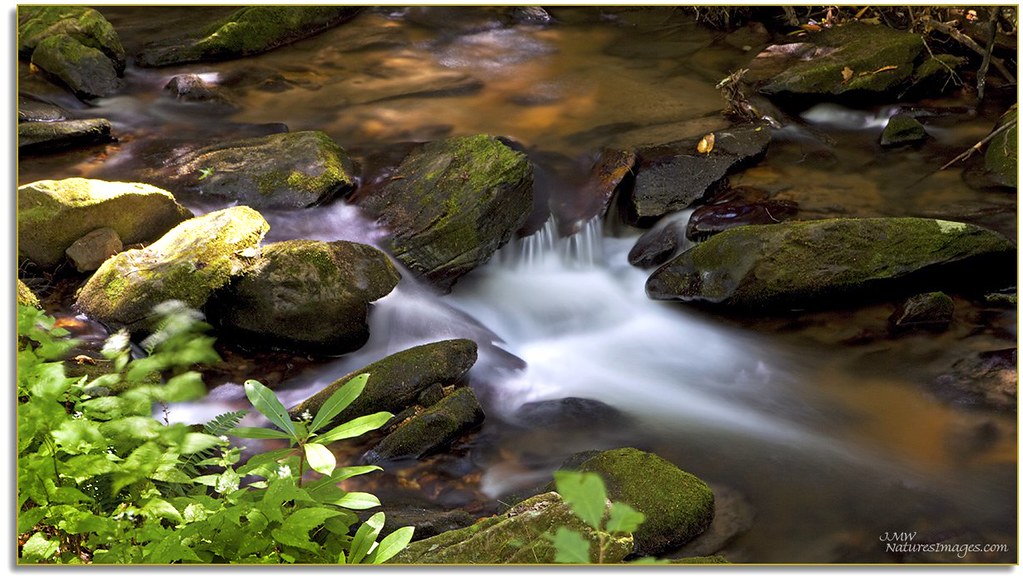
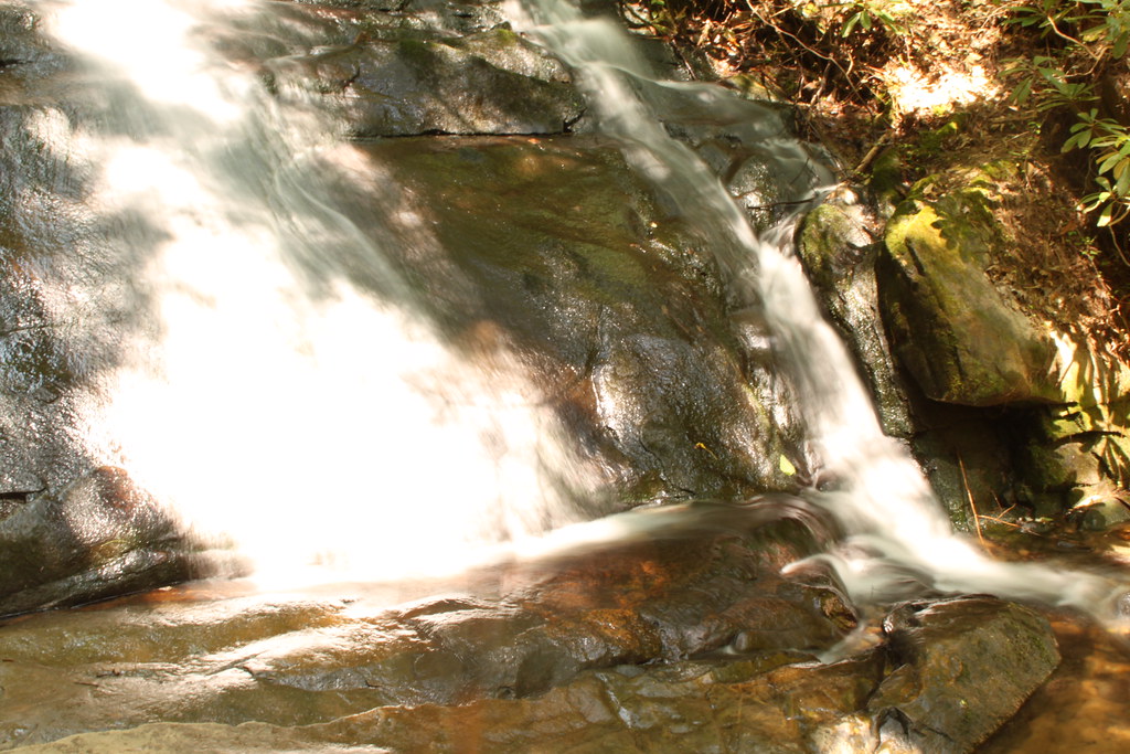
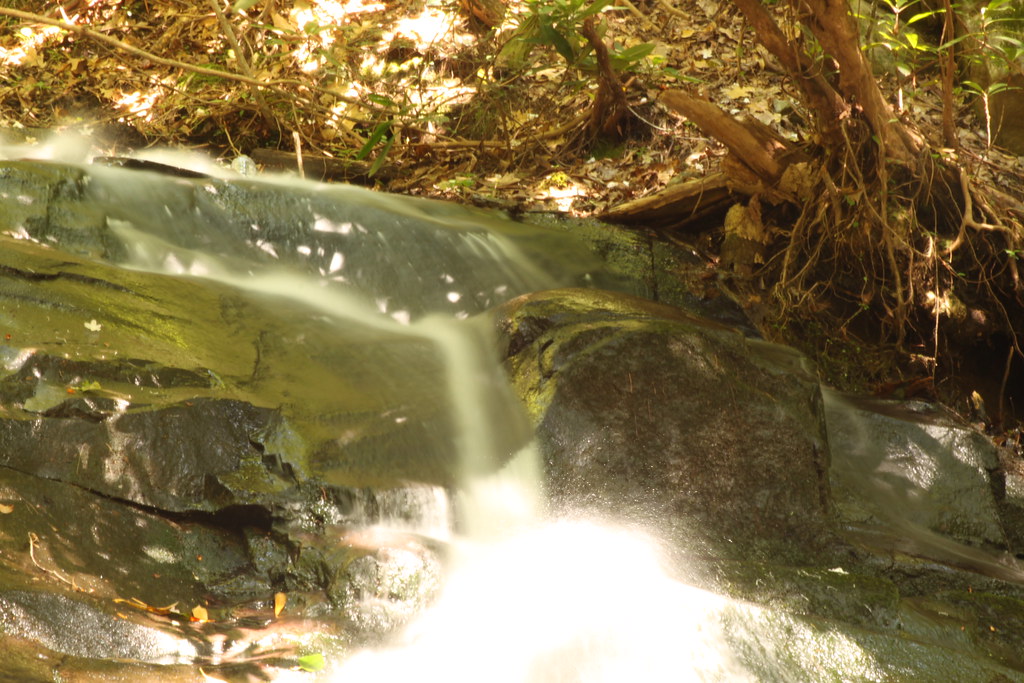
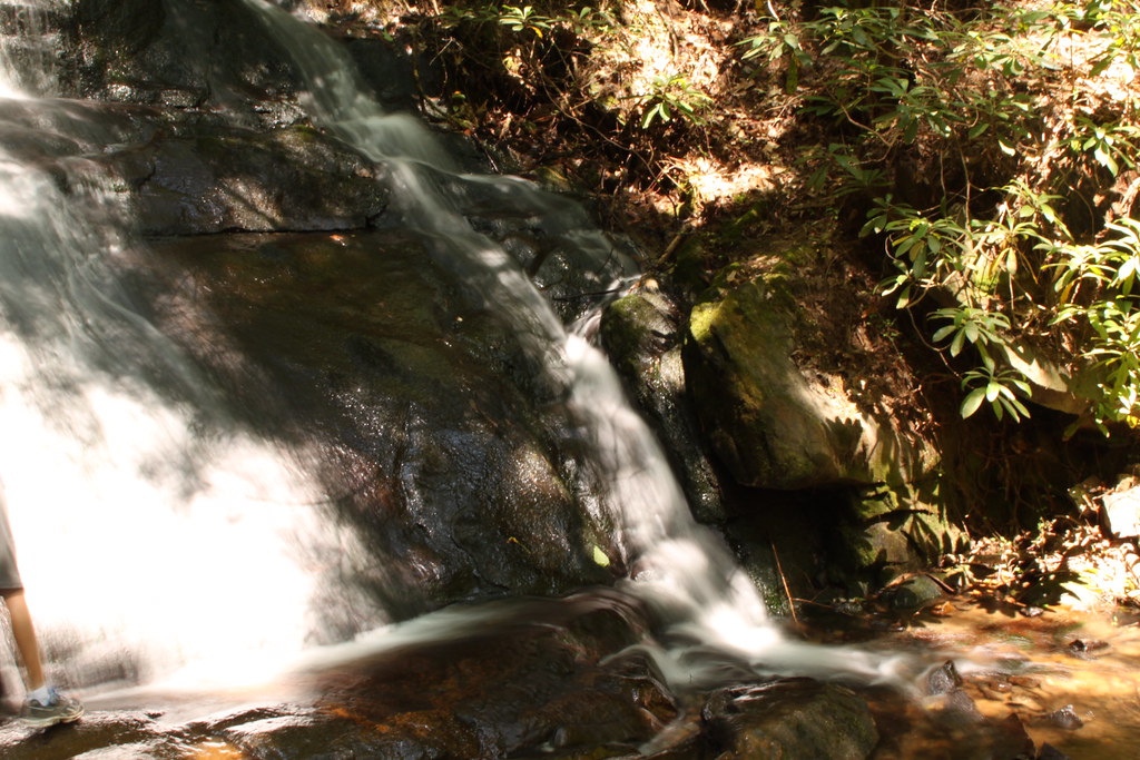
Long Creek Falls
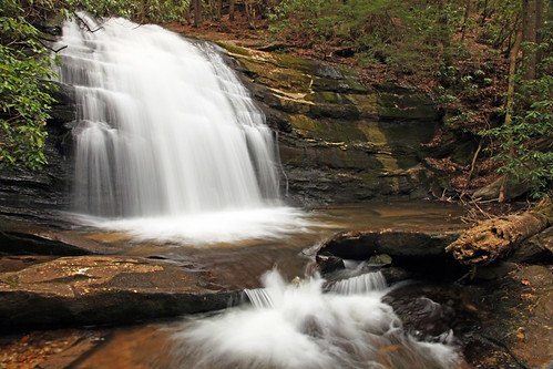
Long Creek Falls

IMG_9726.JPG

Long Creek Falls-Toby Gant-2014
Fannin County, Georgia
IMG_9738.JPG

IMG_9729.JPG
IMG_9743.JPG
IMG_9736.JPG

Long Creek Falls, Long Creek, Ed Jenkins National Recreation Area, Chattahoochee National Forest, Fannin County, Georgia 2
Camera Roll-335
IMG_9724.JPG
Topographic Map of 3 Noontootla Over, Blue Ridge, GA, USA
Find elevation by address:
Places near 3 Noontootla Over, Blue Ridge, GA, USA:
155 Peter Knob Rd
1380 Peter Knob Rd
106 Noontootla Ridge Ct
9 Noontootla Ridge Ct
759 Newport Rd
Newport Rd, Cherry Log, GA, USA
2223 Dial Rd
271 Mountain Creek Rd
271 Mountain Creek Rd
271 Mountain Creek Rd
84 Wib Kendall Rd
245 Weeks Creek Rd
264 Long Ridge Rd
108 Long Ridge Rd
111 Laurel Trail
Blue Sky Drive
8743 Old Dial Rd
Scenic Mountain View Road
890 Mountain Lake Cir
21 Papa Bear Path
Recent Searches:
- Elevation of 104, Chancery Road, Middletown Township, Bucks County, Pennsylvania, 19047, USA
- Elevation of 1212, Cypress Lane, Dayton, Liberty County, Texas, 77535, USA
- Elevation map of Central Hungary, Hungary
- Elevation map of Pest, Central Hungary, Hungary
- Elevation of Pilisszentkereszt, Pest, Central Hungary, Hungary
- Elevation of Dharamkot Tahsil, Punjab, India
- Elevation of Bhinder Khurd, Dharamkot Tahsil, Punjab, India
- Elevation of 2881, Chabot Drive, San Bruno, San Mateo County, California, 94066, USA
- Elevation of 10370, West 107th Circle, Westminster, Jefferson County, Colorado, 80021, USA
- Elevation of 611, Roman Road, Old Ford, Bow, London, England, E3 2RW, United Kingdom
- Elevation of 116, Beartown Road, Underhill, Chittenden County, Vermont, 05489, USA
- Elevation of Window Rock, Colfax County, New Mexico, 87714, USA
- Elevation of 4807, Rosecroft Street, Kempsville Gardens, Virginia Beach, Virginia, 23464, USA
- Elevation map of Matawinie, Quebec, Canada
- Elevation of Sainte-Émélie-de-l'Énergie, Matawinie, Quebec, Canada
- Elevation of Rue du Pont, Sainte-Émélie-de-l'Énergie, Matawinie, Quebec, J0K2K0, Canada
- Elevation of 8, Rue de Bécancour, Blainville, Thérèse-De Blainville, Quebec, J7B1N2, Canada
- Elevation of Wilmot Court North, 163, University Avenue West, Northdale, Waterloo, Region of Waterloo, Ontario, N2L6B6, Canada
- Elevation map of Panamá Province, Panama
- Elevation of Balboa, Panamá Province, Panama