Latitude: 35.1225367
Longitude: -83.4427153
Elevation: 710 meters / 2329 feet
Barometric Pressure 931KPa

Related Photos

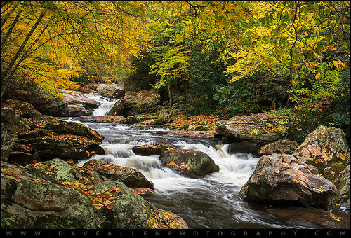
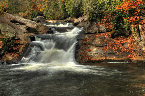
North Carolina Highlands NC Autumn River Gorge by Dave Allen Photography, Be Still and Breathe - North Carolina Highlands NC Autumn River Gorge

A peaceful autumn scene along
North Carolina Highlands NC Autumn River Gorge by Dave Allen Photography
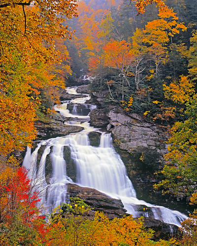
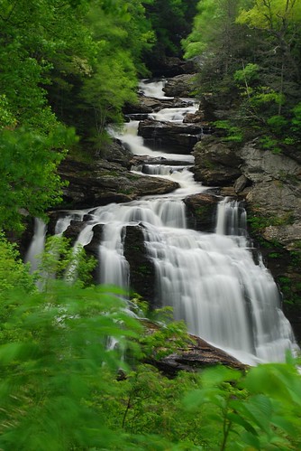
Cullasaja Falls by snapdragginphoto, Seen roadside off NC64 between Highlands and Franklin, North Carolina, Cullasaja Falls is one of NCs
Cullasaja Falls by snapdragginphoto
Stasis by Jeff NC, Franklin, NC

#5 from a morning walk on Monday, August 13, 2018.

Pentax K-1
SMC Pentax 1:1.8 85mm
I
Stasis by Jeff NC
Blue Ridge Mountains in Autumn. Hayesville, NC by Mario & Debbie, landscape serene peaceful franklin northcarolina fallcolors clouds valley pictorial autumnscene scen
Blue Ridge Mountains in Autumn. Hayesville, NC by Mario & Debbie
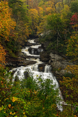
Cullasaja Falls, Redux by snapdragginphoto, Cullasaja Falls is perhaps my favorite waterfall in North Carolina, and has been since my first enco
Cullasaja Falls, Redux by snapdragginphoto
Upper Cullasaja Falls by andrew_v, This was taken off of Highlands Rd. between Highlands & Franklin in North Carolina.  Cullasaja F
Upper Cullasaja Falls by andrew_v
Smoky Mountains on Fire (III) by wirwuenscheneinbierinternationalereisegesellschaft, Just south of the Great Smoky Mountains National Park. 

<a href="http://www.nps.gov/grsm/">www.nps.
Smoky Mountains on Fire (III) by wirwuenscheneinbierinternationalereisegesellschaft
The new Wayah shelter by Ubtcmdr, Map it: <a href="http://www.robogeo.com/Flickr2Map/" rel="nofollow">Google Earth</a> | <a href="http
The new Wayah shelter by Ubtcmdr
Cullasaja Falls by Frank Kehren, Cullasaja Falls, Cullasaja River Gorge, Nantahala National Forest, near Highlands, North Carolina

<
Cullasaja Falls by Frank Kehren
Wayah Bald Fire Tower - Franklin, North Carolina (HDR) by Timothy Wildey, Elevation 5,342 feet

Wayah Bald is a high-altitude treeless open area in Nantahala National Forest,
Wayah Bald Fire Tower - Franklin, North Carolina (HDR) by Timothy Wildey
Standing Indian Mountain by greer82496, View northwest, a fire lookout tower once stood on this 5499' mountain from 1929 to the the early 19
Standing Indian Mountain by greer82496
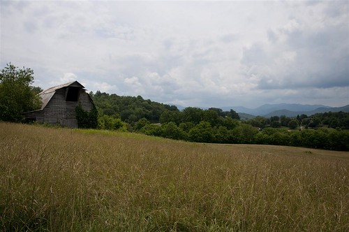
Fields of Gold | Franklin, NC by Me and My Photos :), A highway sight between Franlin, NC and Bryson City, NC on Highway 28.
Fields of Gold | Franklin, NC by Me and My Photos :)
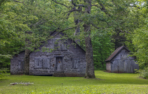
Nantahala Ranger Home #1 by tclaud2002, This was the homestead of the first ranger assigned to the Nantahala National Forest in western Nort
Nantahala Ranger Home #1 by tclaud2002
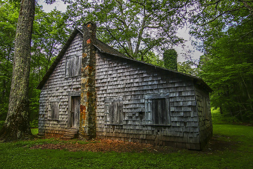
Nantahala Ranger House #3 by tclaud2002, This is a rear view of the house assigned to the first ranger of the Nantahala National Forest in we
Nantahala Ranger House #3 by tclaud2002
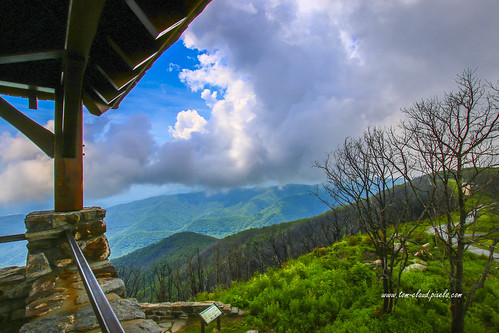
Observation Tower View by tclaud2002, This mountain view was seen from the observation tower at Wayah Bald in western North Carolina near
Observation Tower View by tclaud2002
Fugue by Jeff NC, A wider view, stitched from six portrait-orientation exposures at 30mm

Cullasaja River
Nantahala Na
Fugue by Jeff NC
Tower Mountain View by tclaud2002, This mountain view was from the observation tower at Wayah Bald  near the town of Franklin, North Ca
Tower Mountain View by tclaud2002
Maximum by Jeff NC, <i>Rhododendron maximum</i> (Great Laurel, etc.) in bloom on a summer morning in the Cullasaja Gorge
Maximum by Jeff NC
Summer Mountain View by tclaud2002, This mountain view was seen from Wayah Bald in western North Carolina near the town of Franklin.  Pr
Summer Mountain View by tclaud2002
Cullasaja Falls, NC by VermontDreams, Cullasaja Falls is a beautiful falls located along a very dangerous stretch of Hwy 64. The 250' fall
Cullasaja Falls, NC by VermontDreams
Cullasaja Falls - Highlands, North Carolina. by VonShawn, This might be the most dangerous waterfall I've photographed and not because you're in danger from f
Cullasaja Falls - Highlands, North Carolina. by VonShawn
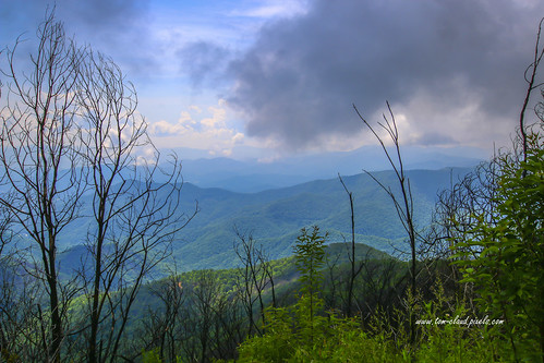
Wayah Bald Mountain View by tclaud2002, This mountain view was seen from Wayah Bald in western North Carolina near the town of Franklin.  Pr
Wayah Bald Mountain View by tclaud2002
Wayah Bald View by tclaud2002, This mountain view was seen from the Wayah Bald observation tower in western North Carolina near the
Wayah Bald View by tclaud2002
Mountain waves by Jeff NC, Approaching sunset seen from Siler Bald.

IR-converted Pentax K-5
SMC Pentax 1:3.5 35mm
Iridient Dev
Mountain waves by Jeff NC
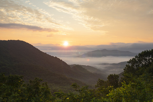
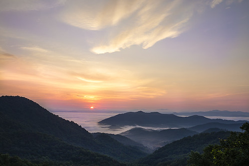
Winding Stair Sunrise by milepost430media.com, The sun rises on Macon County in western NC.sunrise morning newday nackground nature beautiful north
Winding Stair Sunrise by milepost430media.com
Cullasaja Falls Mid-Section by Darrell Duke, Cullasaja Falls mid section isolation shot - Highlands North Carolina USA
Cullasaja Falls Mid-Section by Darrell Duke
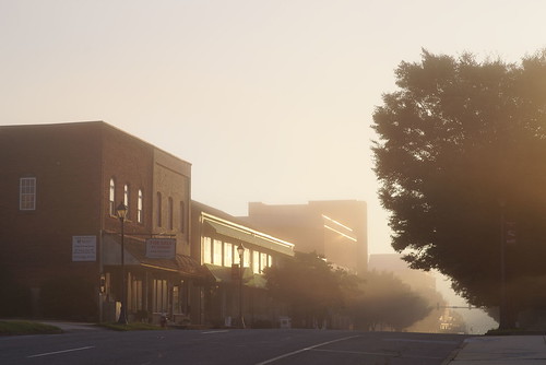
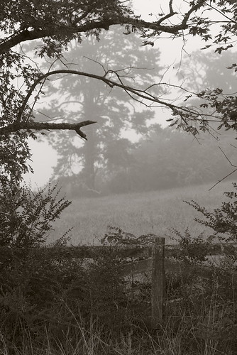
Morning on Main Street by Jeff NC, Franklin, NC. Based on my month here, morning fog is so common as to be unremarkable, but I never ti
Morning on Main Street by Jeff NC
Town and country by Jeff NC, Franklin, NC

Pentax K-1
SMC Pentax 1:1.8 85mm
Iridient Developerwesternnorthcarolina fog pentax k1
Town and country by Jeff NC
Mountain Waters Scenic Byway, Between Franklin and Highlands, North Carolina by Ken Lund, The Mountain Waters Scenic Byway is a two-lane highway in North Carolina, which travels through the
Mountain Waters Scenic Byway, Between Franklin and Highlands, North Carolina by Ken Lund
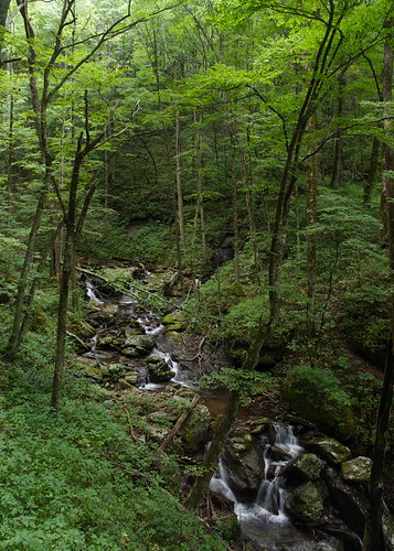
Tantalus Creek by Jeff NC, Beech Creek Trail, Southern Nantahala Wilderness

Wonderful and challenging trail for a hike; somewh
Tantalus Creek by Jeff NC
Mountain Waters Scenic Byway, Between Franklin and Highlands, North Carolina by Ken Lund, The Mountain Waters Scenic Byway is a two-lane highway in North Carolina, which travels through the
Mountain Waters Scenic Byway, Between Franklin and Highlands, North Carolina by Ken Lund
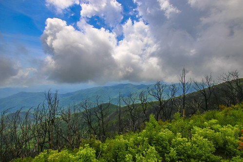
Cloudy Mountain View by tclaud2002, This cloudy mountain view was seen from Wayah Bald in western North Carolina near the town of Frankl
Cloudy Mountain View by tclaud2002
Mountain Waters Scenic Byway, Between Franklin and Highlands, North Carolina by Ken Lund, The Mountain Waters Scenic Byway is a two-lane highway in North Carolina, which travels through the
Mountain Waters Scenic Byway, Between Franklin and Highlands, North Carolina by Ken Lund
Mountain Waters Scenic Byway, Between Franklin and Highlands, North Carolina by Ken Lund, The Mountain Waters Scenic Byway is a two-lane highway in North Carolina, which travels through the
Mountain Waters Scenic Byway, Between Franklin and Highlands, North Carolina by Ken Lund
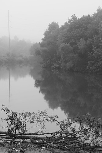
Between the river and the fog by Jeff NC, Franklin, NC

#3 from a morning walk on Monday, August 13, 2018.

Pentax K-1
SMC Pentax 1:1.8 85mm
I
Between the river and the fog by Jeff NC
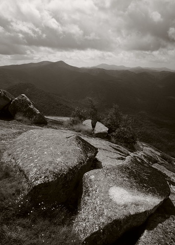
On the shoulder of a giant by Jeff NC, A wider view south from Whiterock Mountain, Nantahala National Forest.

Pentax K-1
SMC Pentax-A 1:2.
On the shoulder of a giant by Jeff NC
Mountain Waters Scenic Byway, Between Franklin and Highlands, North Carolina by Ken Lund, The Mountain Waters Scenic Byway is a two-lane highway in North Carolina, which travels through the
Mountain Waters Scenic Byway, Between Franklin and Highlands, North Carolina by Ken Lund
Cullasaja morning, infrared by Jeff NC, IR-converted Pentax K-5
SMC Pentax 1:3.5 35mm
Iridient Developerwesternnorthcarolina nantahalanation
Cullasaja morning, infrared by Jeff NC
Mountain Waters Scenic Byway, Between Franklin and Highlands, North Carolina by Ken Lund, The Mountain Waters Scenic Byway is a two-lane highway in North Carolina, which travels through the
Mountain Waters Scenic Byway, Between Franklin and Highlands, North Carolina by Ken Lund
Rufus Morgan Falls by augphoto, usa nature water franklin us waterfall nc augphotoimagery
Rufus Morgan Falls by augphoto
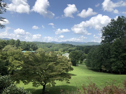
Mountains and clouds, view from Jimmy and Beth's place, Franklin, North Carolina by Paul McClure DC, northcarolina maconcounty aug2021 franklin mountains scenery tree cloud sky
Mountains and clouds, view from Jimmy and Beth's place, Franklin, North Carolina by Paul McClure DC
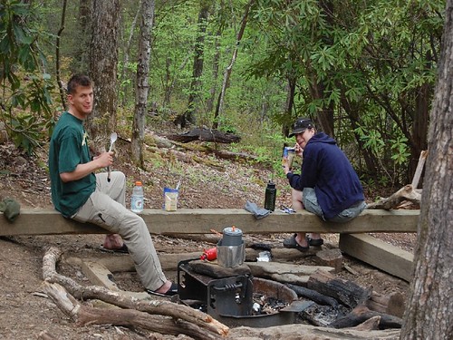
I must have said something funny by Ubtcmdr, Map it: <a href="http://www.robogeo.com/Flickr2Map/" rel="nofollow">Google Earth</a> | <a href="http
I must have said something funny by Ubtcmdr
Mountain Waters Scenic Byway, Between Franklin and Highlands, North Carolina by Ken Lund, The Mountain Waters Scenic Byway is a two-lane highway in North Carolina, which travels through the
Mountain Waters Scenic Byway, Between Franklin and Highlands, North Carolina by Ken Lund
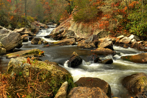
Quarry Falls by the waterfallhunter, The thing I love about Quarry Falls and really the entire Cullasaja River Gorge is all the colors fo
Quarry Falls by the waterfallhunter
Ruby City by Jeff NC, Main Street
Franklin, North Carolina

IR-converted Pentax K-5
SMC Pentax 1:3.5 18mm
Iridient Develop
Ruby City by Jeff NC
Winding Stair Sunrise by milepost430media.com, Sunrise over Macon County, NCsunrise morning daybreak dawn nature beautiful orange mountains nantaha
Winding Stair Sunrise by milepost430media.com
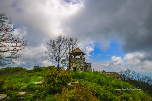
Wayah Bald Tower by tclaud2002, This is the observation tower at Wayah Bald in western North Carolina near the town of Franklin.  Pr
Wayah Bald Tower by tclaud2002
Quarry Falls by the waterfallhunter, Always have to stop here when driving through the Cullasaja Gorge. Not a huge spectacular falls howe
Quarry Falls by the waterfallhunter
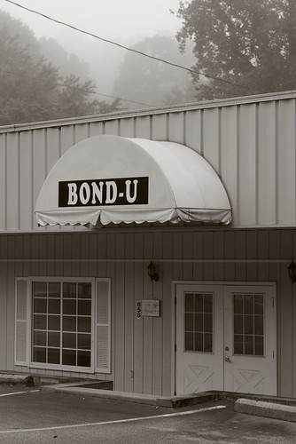
For when U need it by Jeff NC, Google Street View doesn't update so often in out-of-the-way places; it shows this business targetin
For when U need it by Jeff NC
Siler Bald by greer82496, View north of Wine Spring and Wayah Baldappalachian silers bald wine spring wayah nantahala north ca
Siler Bald by greer82496
Almost sunset, mountain view, Franklin, North Carolina by Paul McClure DC, franklin maconcounty northcarolina feb2025 sky cloud sunset scenery tree
Almost sunset, mountain view, Franklin, North Carolina by Paul McClure DC
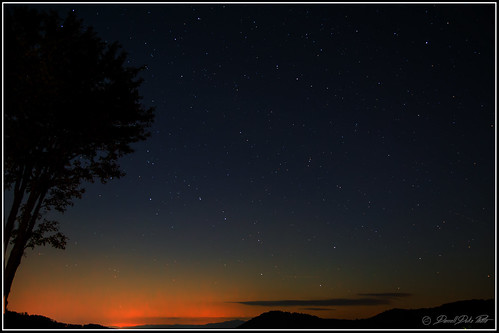
Peaceful View by Darrell Duke, Night sky view from this year's fall cabin, which just happened to be named "Peaceful View"
Peaceful View by Darrell Duke
Betty's Creek Watershed by Jay Kuhr, A view looking Southeast from Little Ridgepole mountain into the Betty's Creek watershed. Visible in
Betty's Creek Watershed by Jay Kuhr
smoky vacation RAW 6-9-2013 298 by praline3001, park vacation mountain canon national smoky 3ti
smoky vacation RAW 6-9-2013 298 by praline3001
Standing Indian Mountain by Jay Kuhr, The view from the top of Chimney Rock looking North to Standing Indian Mountain (elevation 5499 ft),
Standing Indian Mountain by Jay Kuhr
Cullasaja Falls by mcmillend, Nantahala National Forest, North Carolina

a few more waterfalls from last week's quick visit to Nor
Cullasaja Falls by mcmillend
Rufus Morgan Falls-8471 by kasiahalka, Franklin, North Carolinafranklin nc northcarolina westernnorthcarolina rufusmorganfalls nc441
Rufus Morgan Falls-8471 by kasiahalka
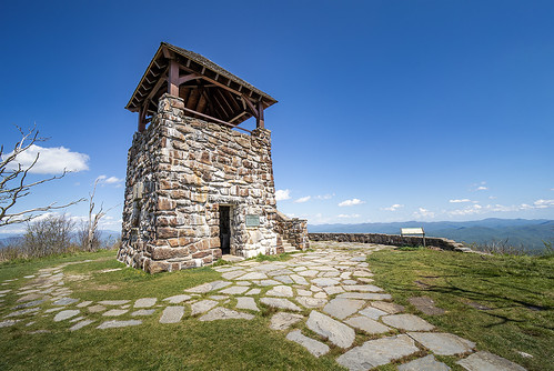
Wayah Bald Tower by milepost430media.com, Wayah Bald Tower is located at 5,342 feet ASL along the Appalachian and Bertram Trails in the Nantah
Wayah Bald Tower by milepost430media.com
Mountain view from Tisit Drive, Franklin, North Carolina by Paul McClure DC, Aunt Mona's 99th birthday partyfranklin maconcounty northcarolina feb2025 scenery sky cloud tree
Mountain view from Tisit Drive, Franklin, North Carolina by Paul McClure DC
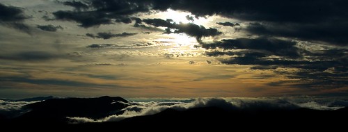
W4C/WM-024 - Siler Bald View by smkymtns, bald sota siler summitsontheair elecraftkx3 ki4svm 88doublet w4cwm024 hardrock50
W4C/WM-024 - Siler Bald View by smkymtns