Elevation of 37 Broken Arrow Rd, Edgewood, NM, USA
Location: United States > New Mexico > Santa Fe County > Edgewood >
Longitude: -106.22874
Latitude: 35.132807
Elevation: 2066m / 6778feet
Barometric Pressure: 79KPa
Elevation Map:
Satellite Map:
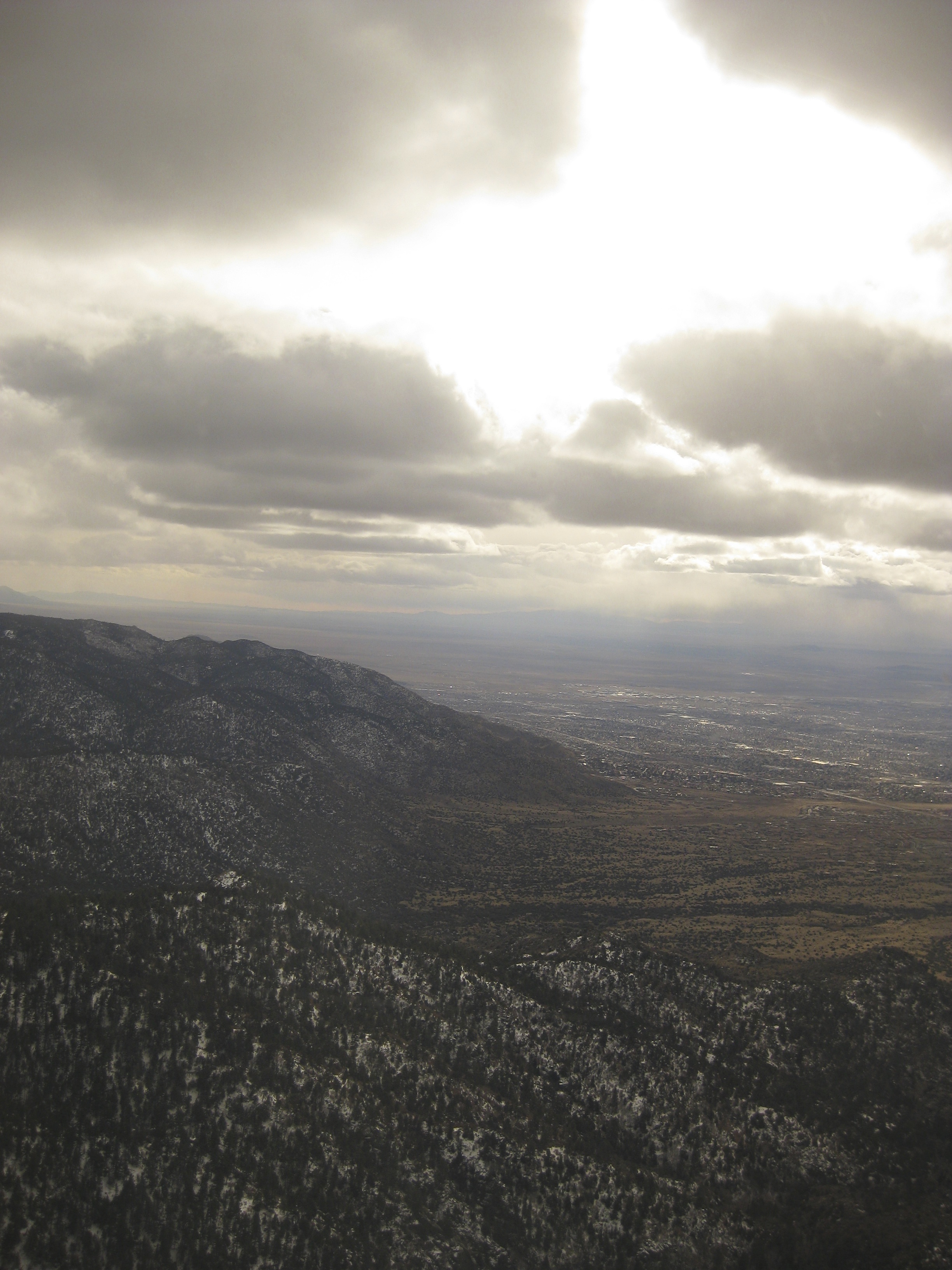
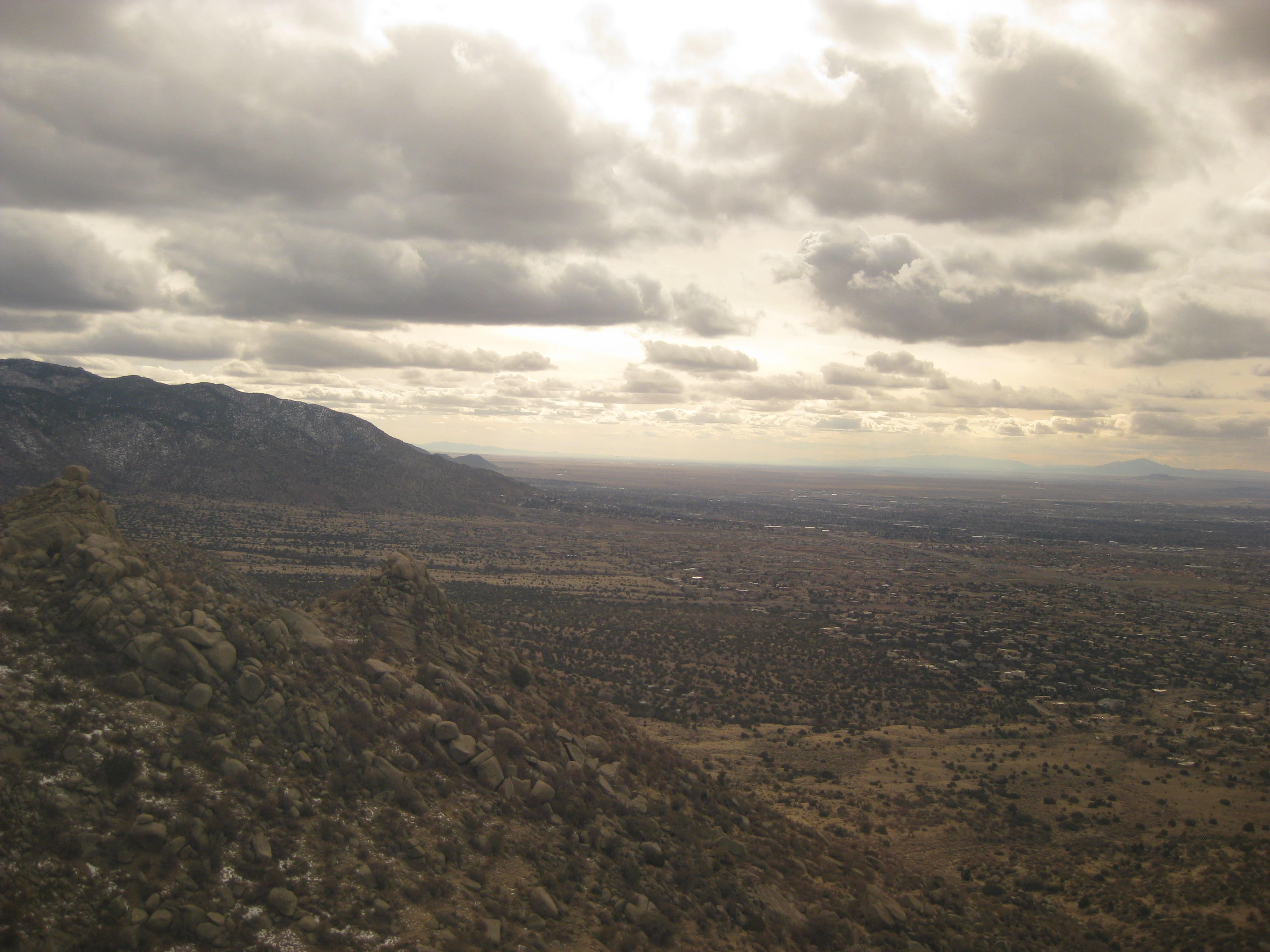
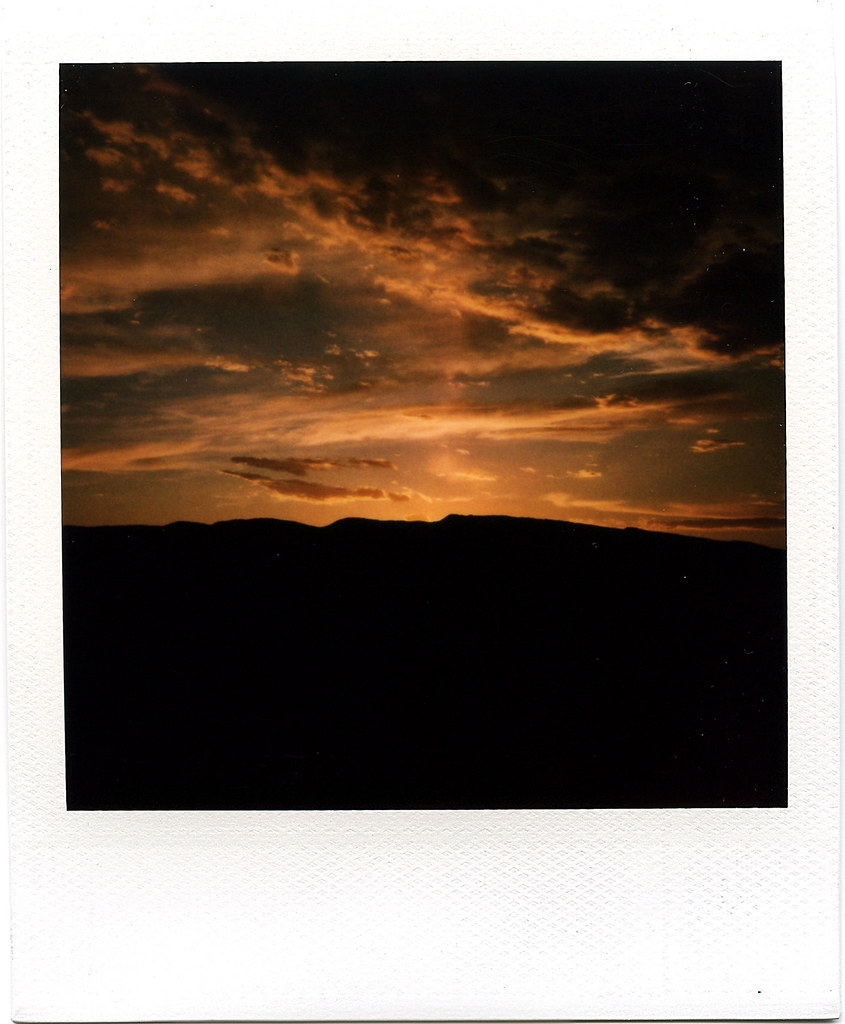
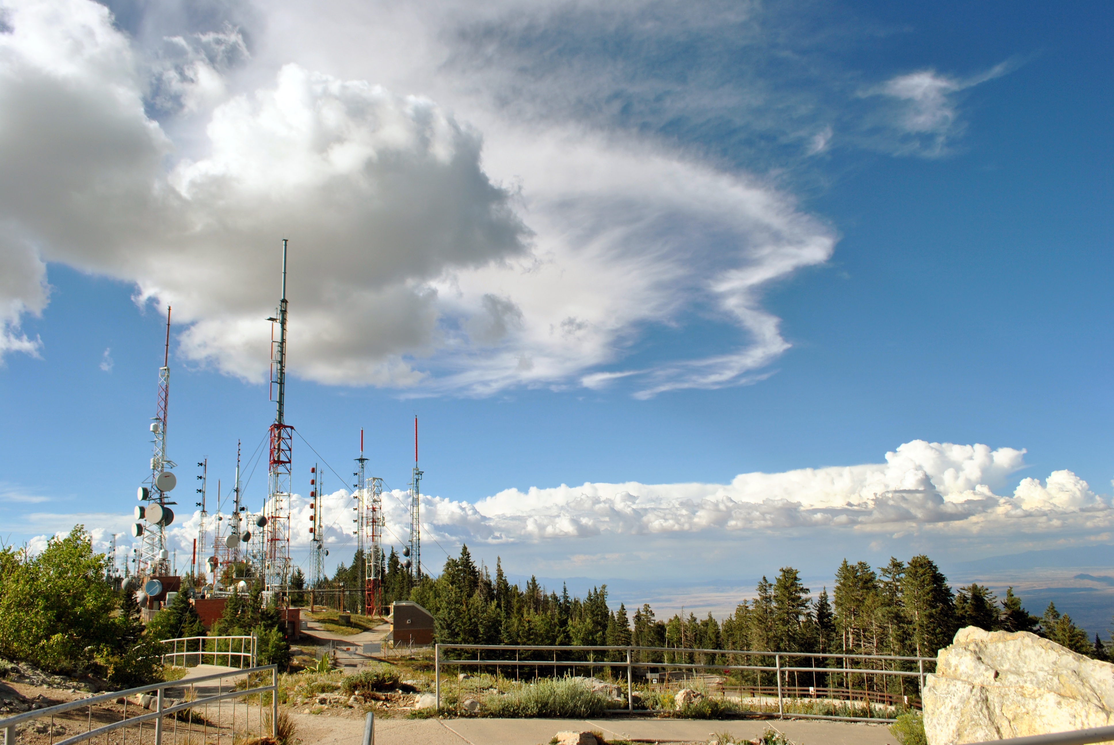
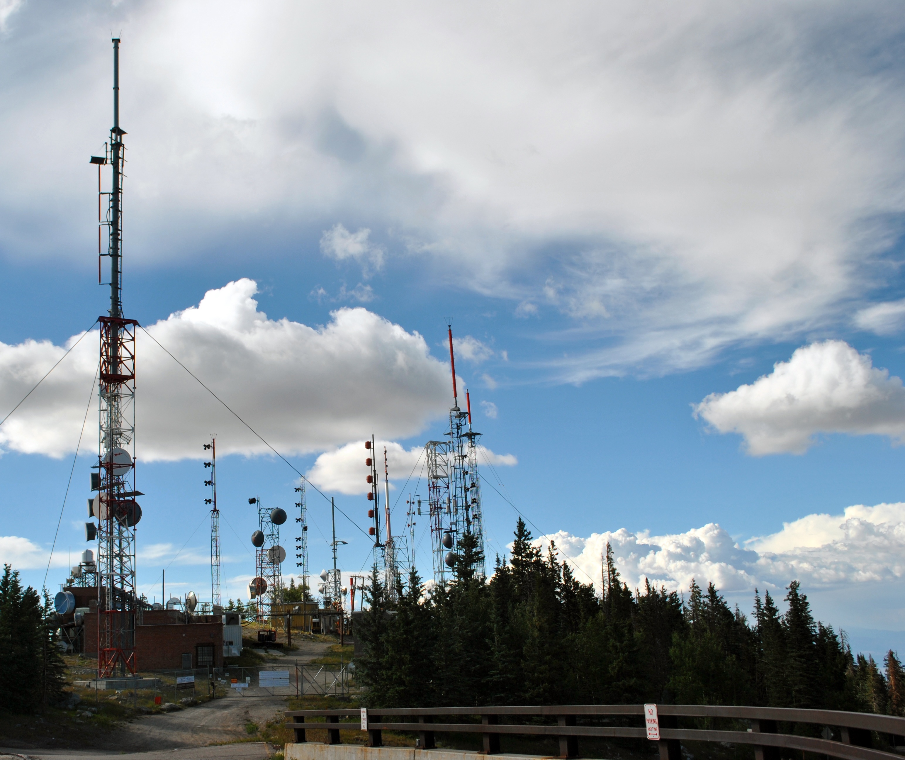
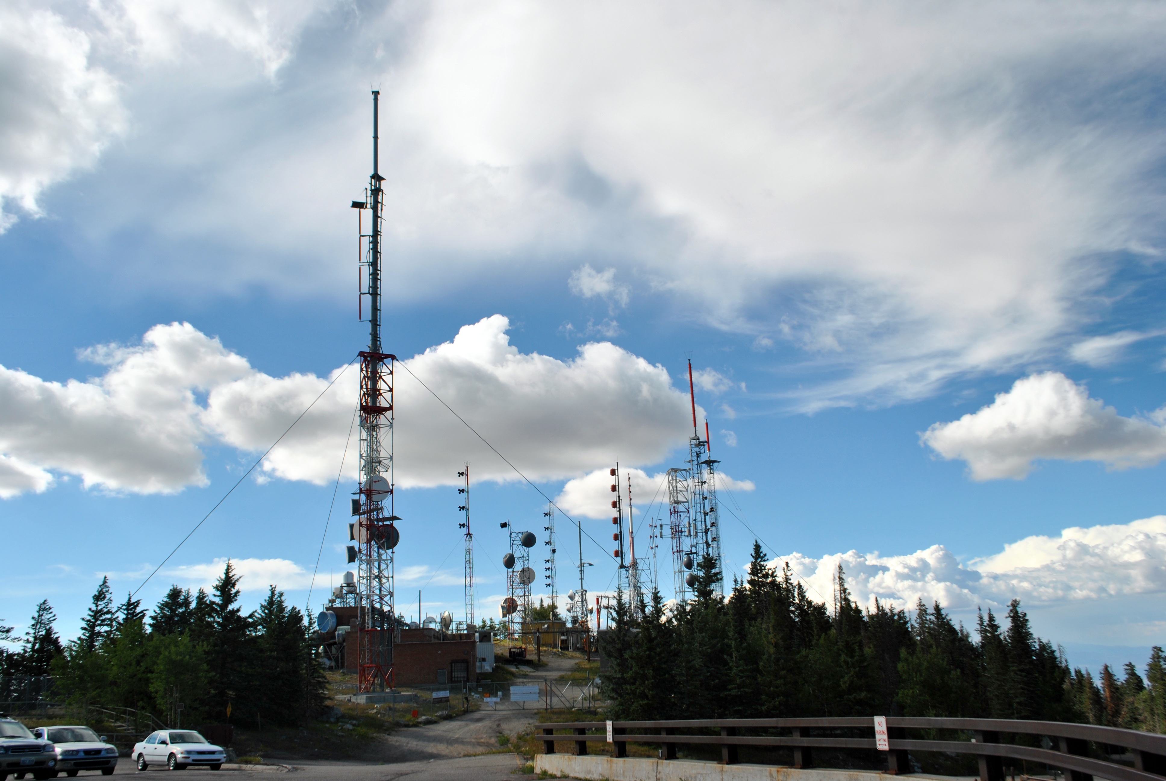
Related Photos:
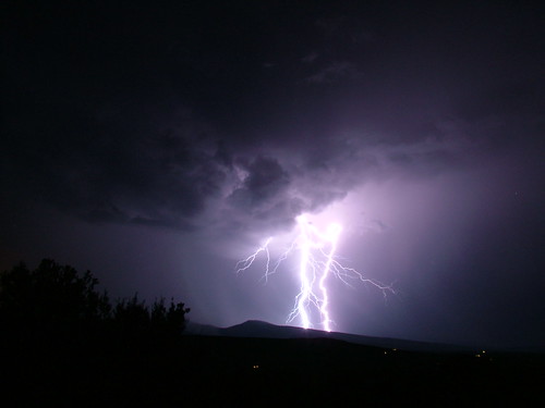
Lightning Waltz - 7/26/06 Thunderstorm From East Mountains
*DSC_0773
*DSC_0731
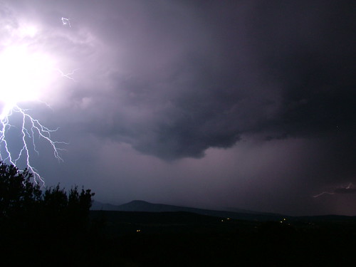
Jellyfish - July 26th, '06 Thunderstorm From East Mountains
*DSC_0803
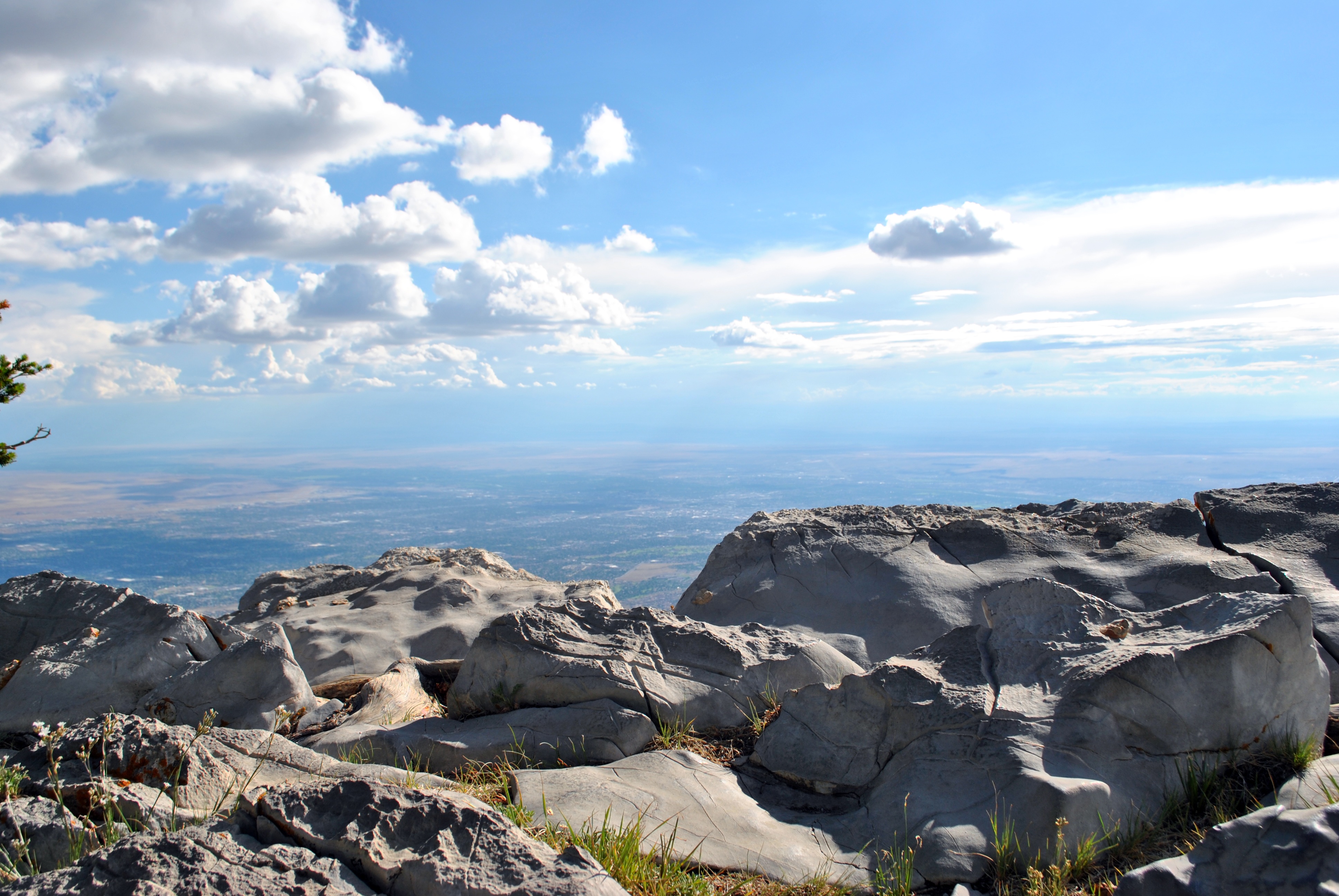
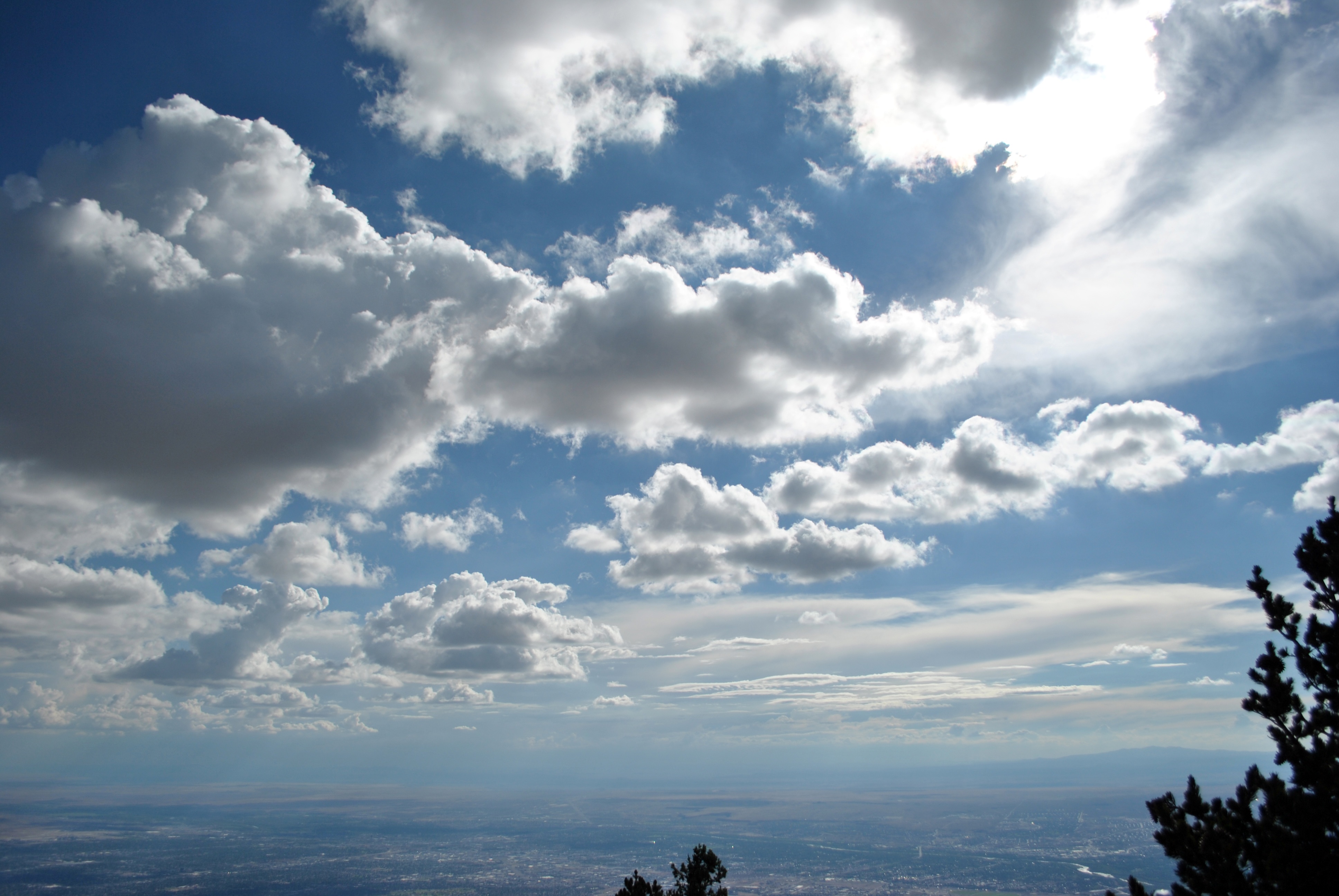
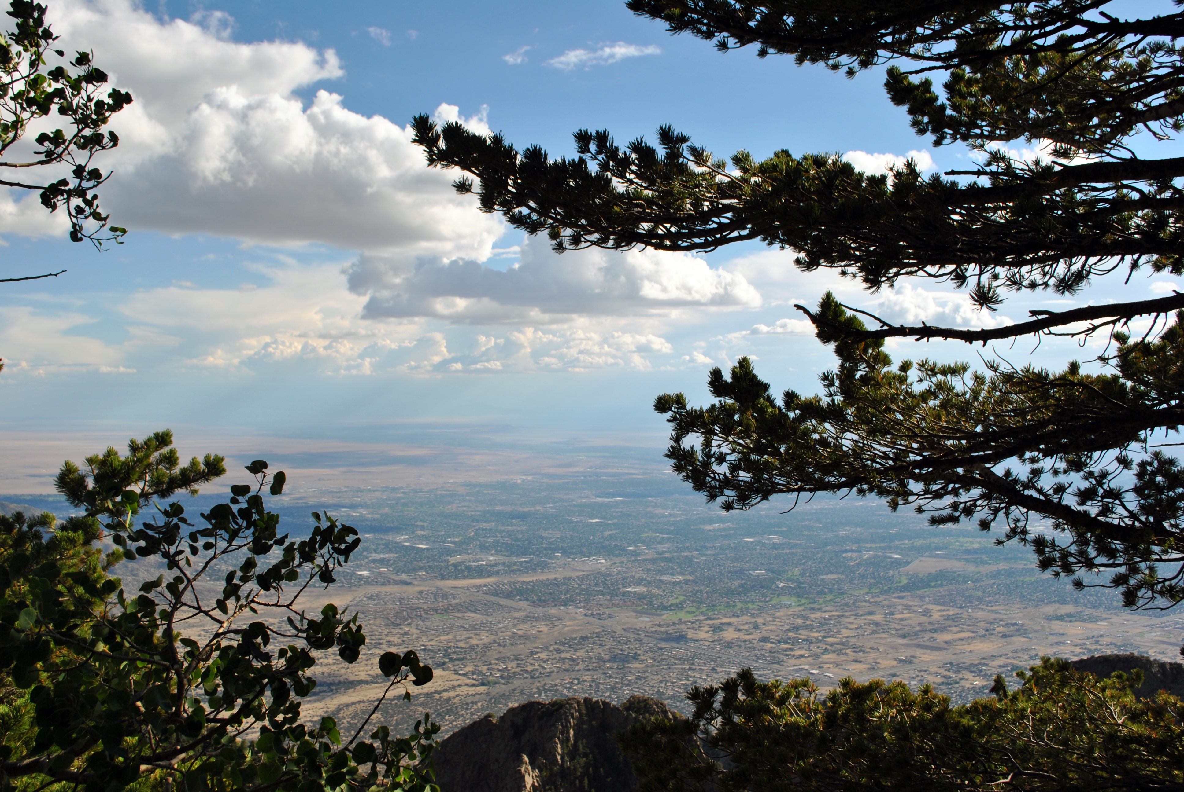
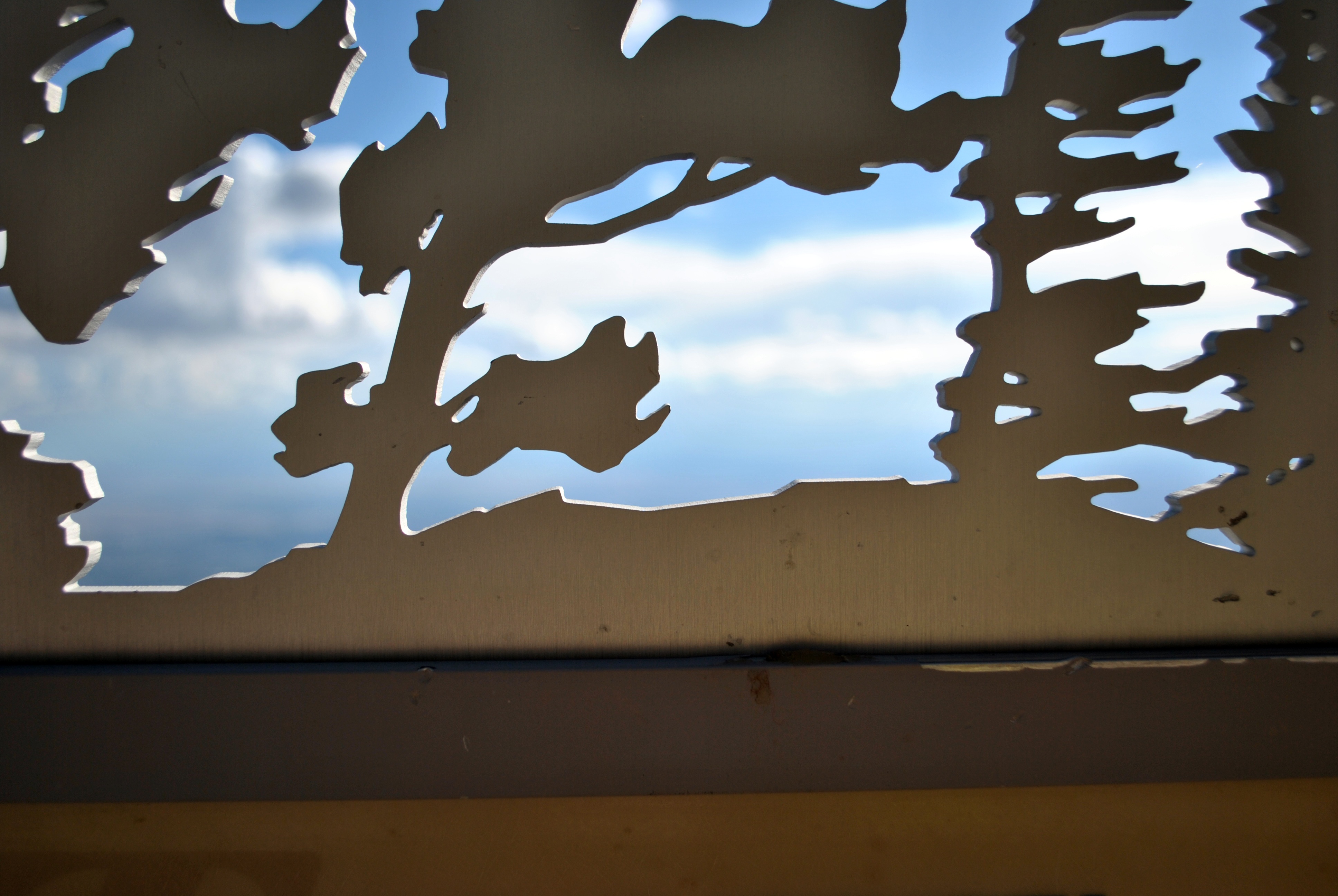
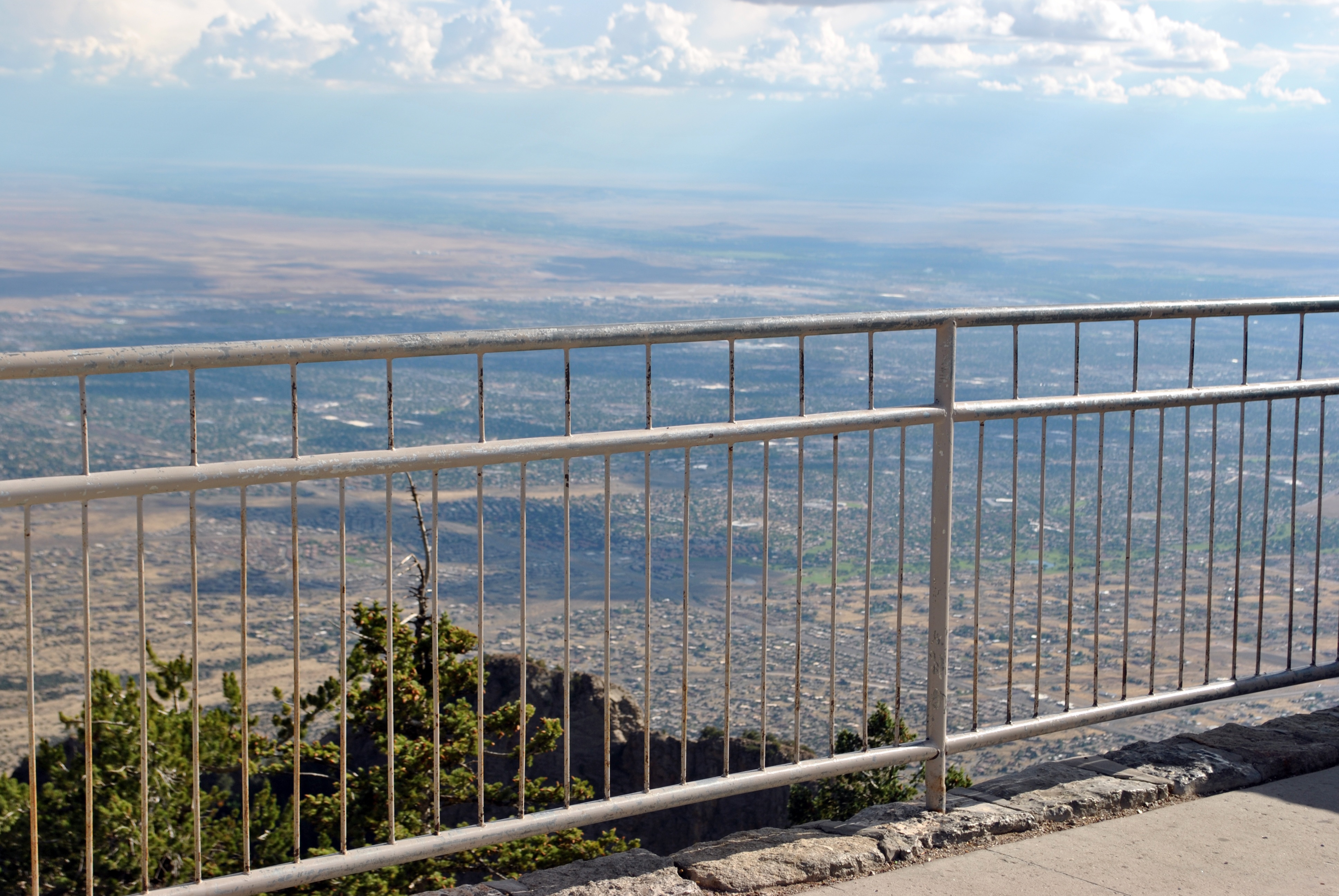
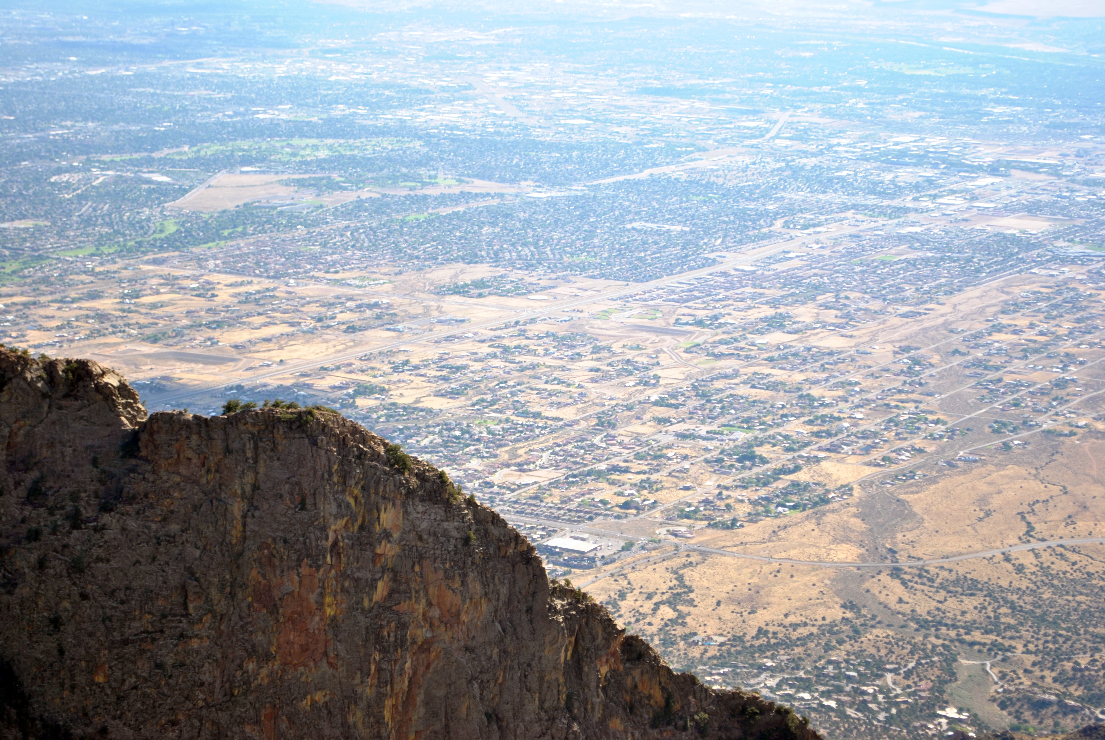
View from tram to Sandia Peak

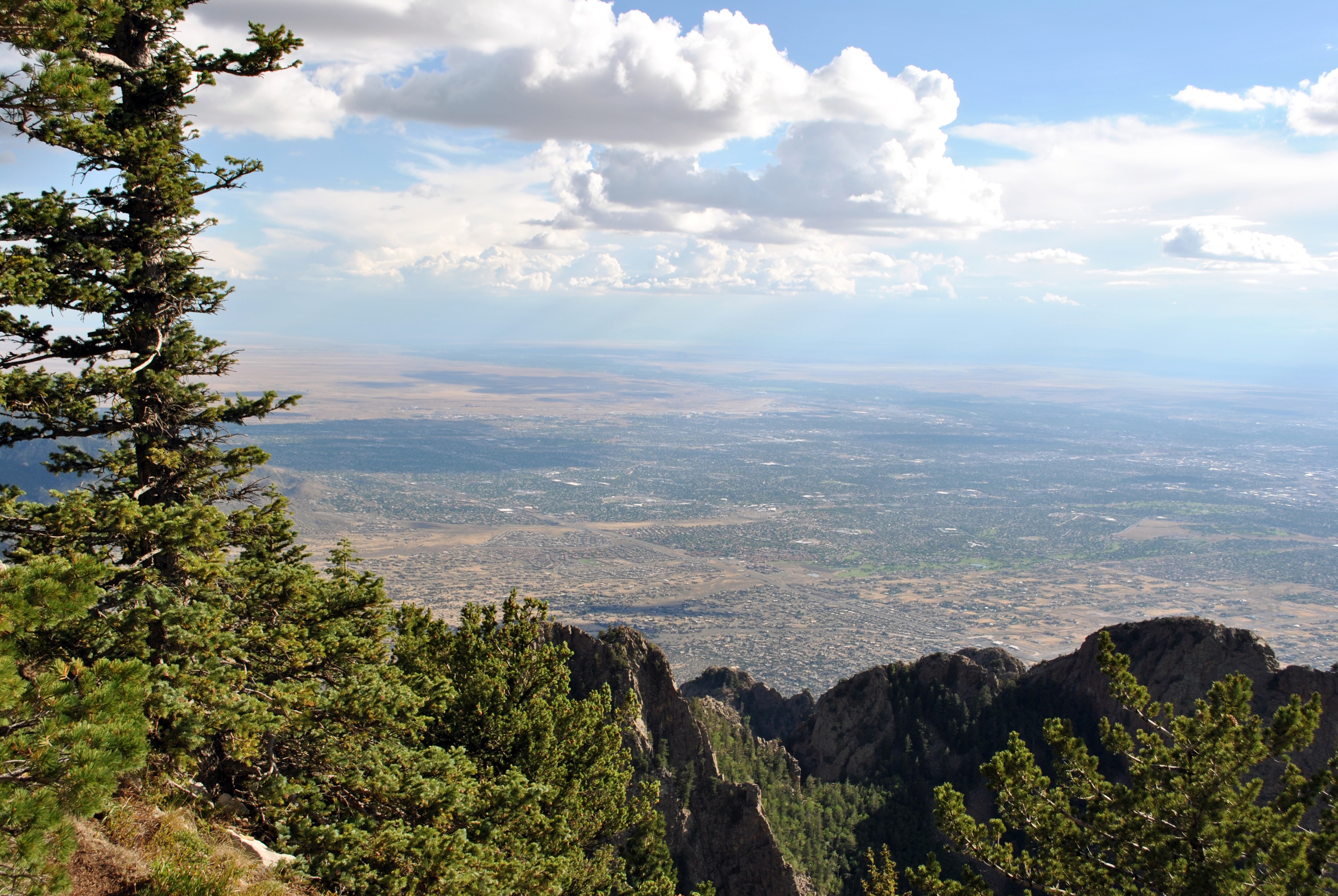
View from Sandia Peak at 10,678 feet
View from tram to Sandia Peak
the view from my backyard...
*DSC_0804

*DSC_0809
*DSC_0711

*DSC_0751
*DSC_0712
*DSC_0697a
*DSC_0734
*DSC_0698
*DSC_0798

Madrid, NM view.
*DSC_0699
*DSC_0748

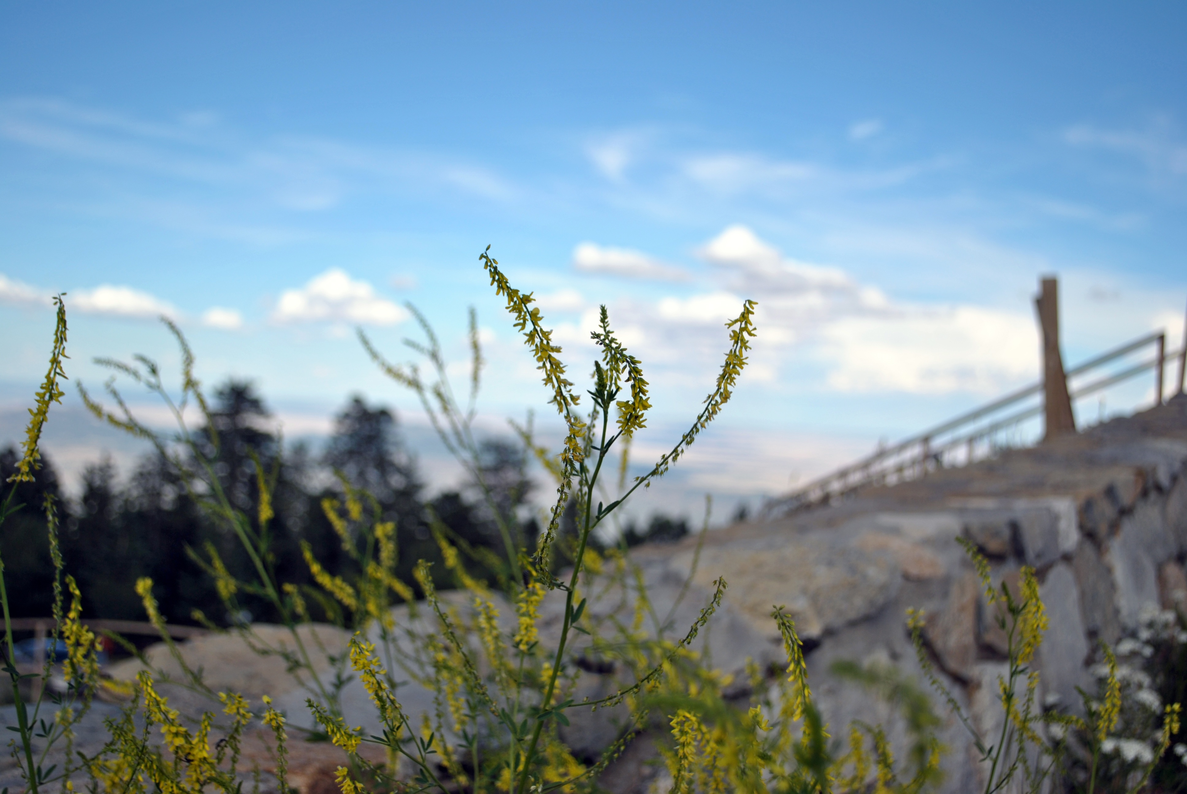
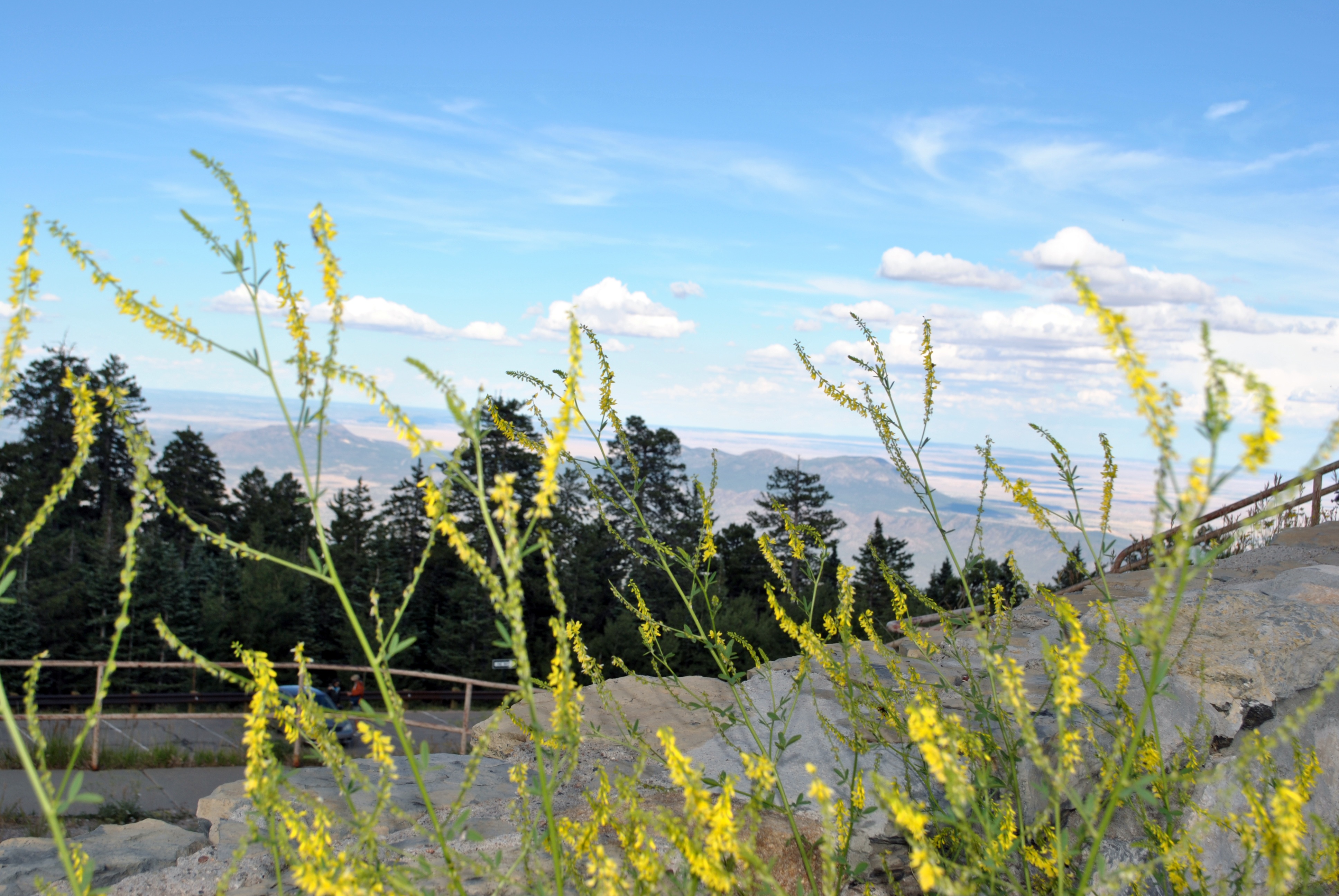
Photo taken from Sandia Park looking south

Ranch Gate and Dramatic Clouds

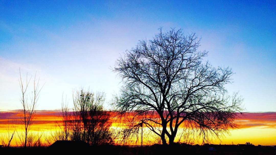
Sandia Park Sunrise
#sunrise in #edgewood #newmexico with the family - #roadtrip #morningwalk #earlybird
*DSC_0766
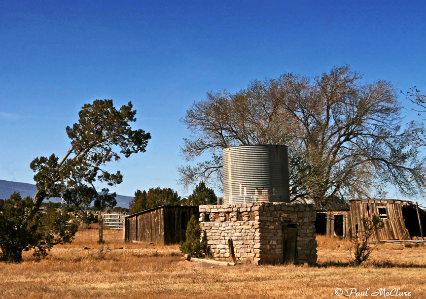
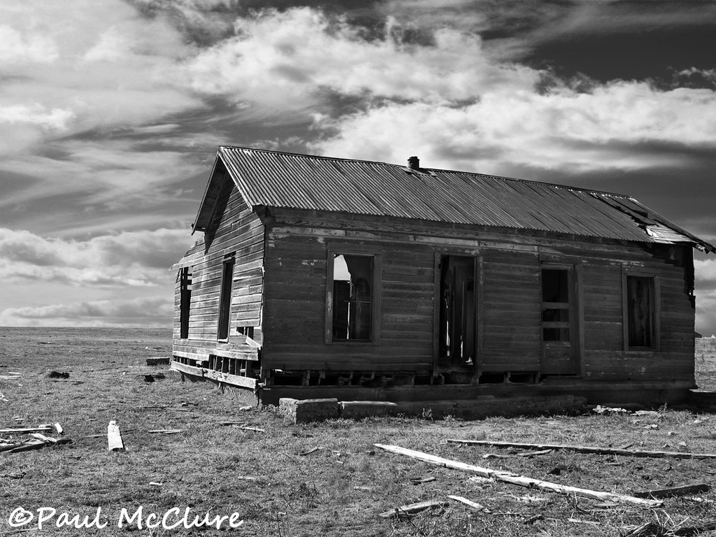
Edgewood Homestead
*DSC_0799

#paakoridge #golf #beautiful #nm #friends
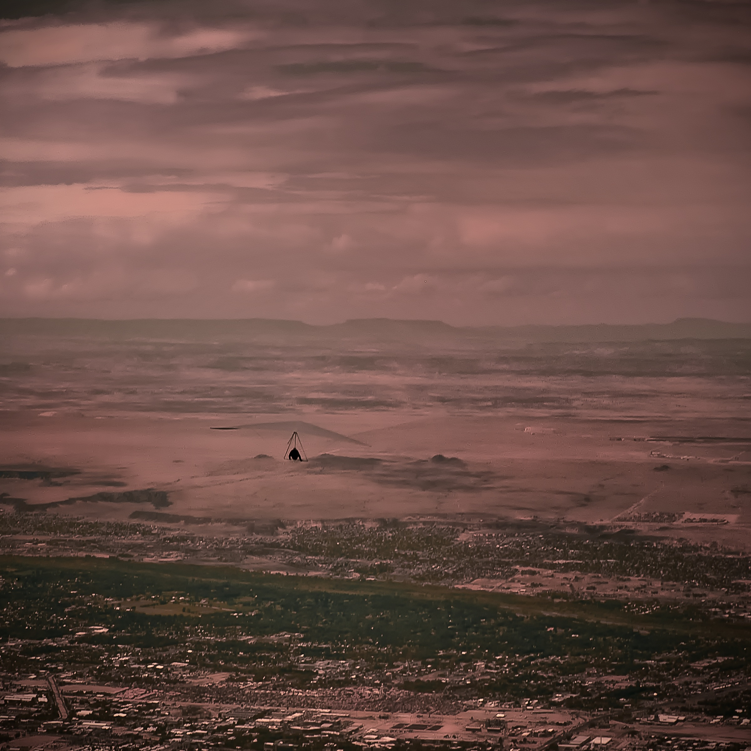
Hang man.....

Well? Shall we go? Yes, let's go.
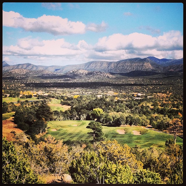
I can see fore miles and miles... #paako #golf #nm #friends #beautiful #blessed
Dinkle house
San Francisco de Assisi Church, Golden, New Mexico

White Out

Sandia Sunrise
Took a hike today on the cedar crest trail #130. If only I had more time. My venture was worth the exploration. My future plans will be a full day of 32 miles. Spring time is near!
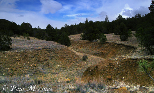
East Mountain Ridge
IR TinkerTown_04
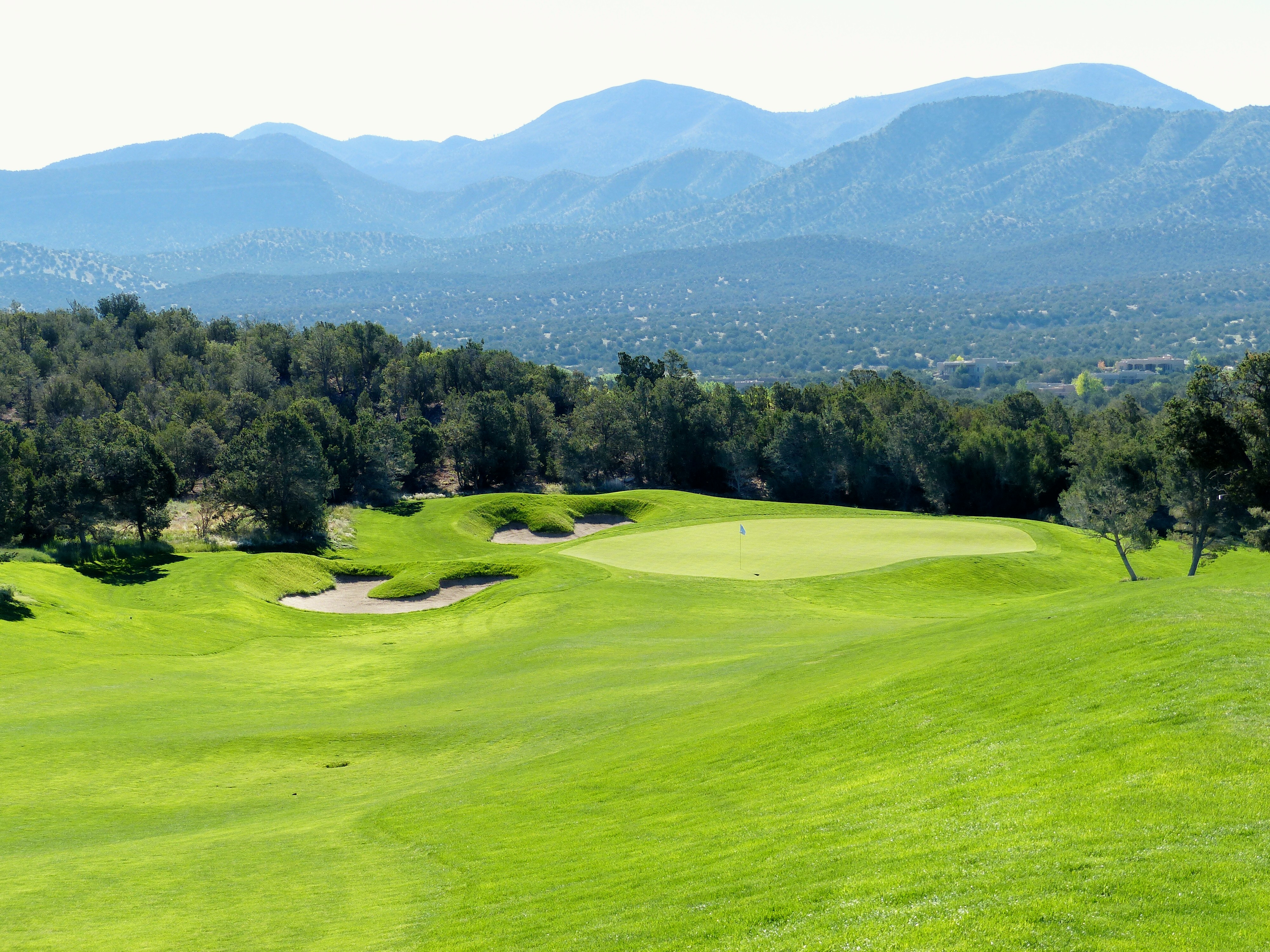
Paa-Ko Ridge #7 pitch from right rough r
Blue Sky Draw

Turquoise Trail (Hwy 14) New Mexico
Topographic Map of 37 Broken Arrow Rd, Edgewood, NM, USA
Find elevation by address:

Places near 37 Broken Arrow Rd, Edgewood, NM, USA:
33 Cll Viernes
33 Cll Cinturon
Mountain Valley Road
Equestrian Park Road
56 Sunny Dale Rd
60 Sunny Dale Rd
Nm Tree Removal
1 Lacy Rd
Serrania
Eagle Point
14 Serrania
5 Serrania
Sandia Derby Estates
23 Sunrise View Ct
48 Woodlands Dr
76 Hill Ranch Rd, Edgewood, NM, USA
36 Woodlands Dr
67 N Vista Valle Dr
420 Frost Rd
Vista Valle
Recent Searches:
- Elevation of Corso Fratelli Cairoli, 35, Macerata MC, Italy
- Elevation of Tallevast Rd, Sarasota, FL, USA
- Elevation of 4th St E, Sonoma, CA, USA
- Elevation of Black Hollow Rd, Pennsdale, PA, USA
- Elevation of Oakland Ave, Williamsport, PA, USA
- Elevation of Pedrógão Grande, Portugal
- Elevation of Klee Dr, Martinsburg, WV, USA
- Elevation of Via Roma, Pieranica CR, Italy
- Elevation of Tavkvetili Mountain, Georgia
- Elevation of Hartfords Bluff Cir, Mt Pleasant, SC, USA