Elevation of 36 Laurel Dr, Burnsville, NC, USA
Location: United States > North Carolina > Yancey County > Burnsville > Burnsville >
Longitude: -82.207993
Latitude: 35.7647723
Elevation: 884m / 2900feet
Barometric Pressure: 91KPa
Elevation Map:
Satellite Map:
Related Photos:

Along the Blue Ridge parkway

A Splash Of Gold
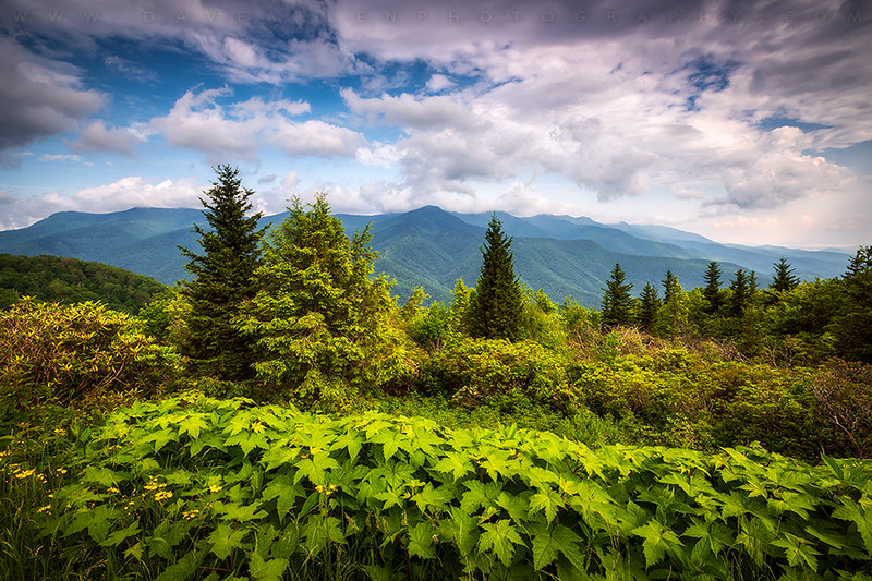
Mount Mitchell Asheville NC Blue Ridge Parkway Mountains Landscape

Mt. Mitchell Wildflower View

Asheville NC Blue Ridge Parkway Pinnacle

Blue Ridge View

Swirl Pool

Family Hike

Blue Ridge Parkway Sunrise - Light, Lines, and Leaves

Misty Rainbow

Mt. Mitchell View
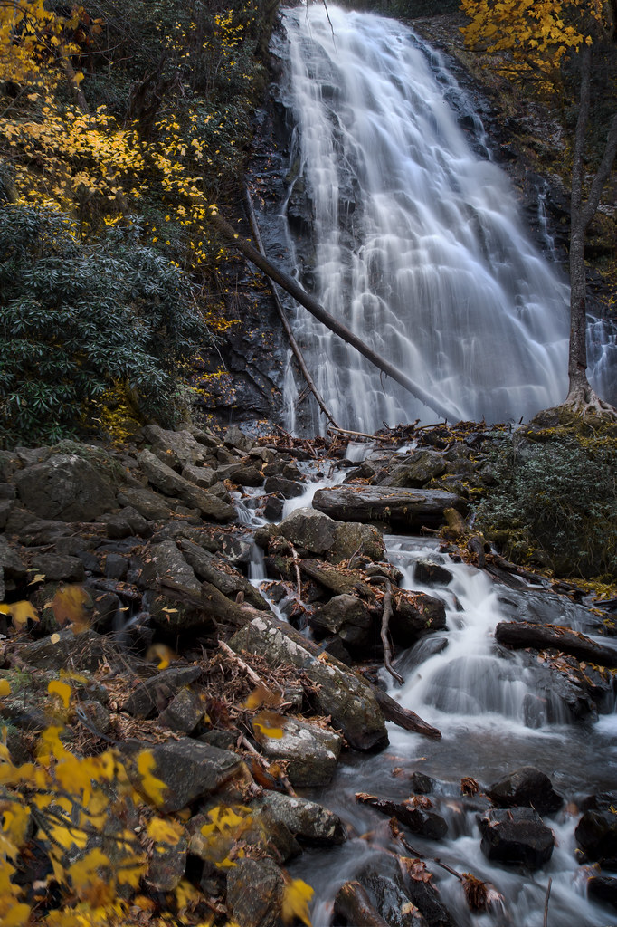
autumn wanes at Crabtree Falls

Mt. Mitchell State Park Clouds

Tom's Creek Falls 2

Crabtree Rainbow

Deep Gap Trail

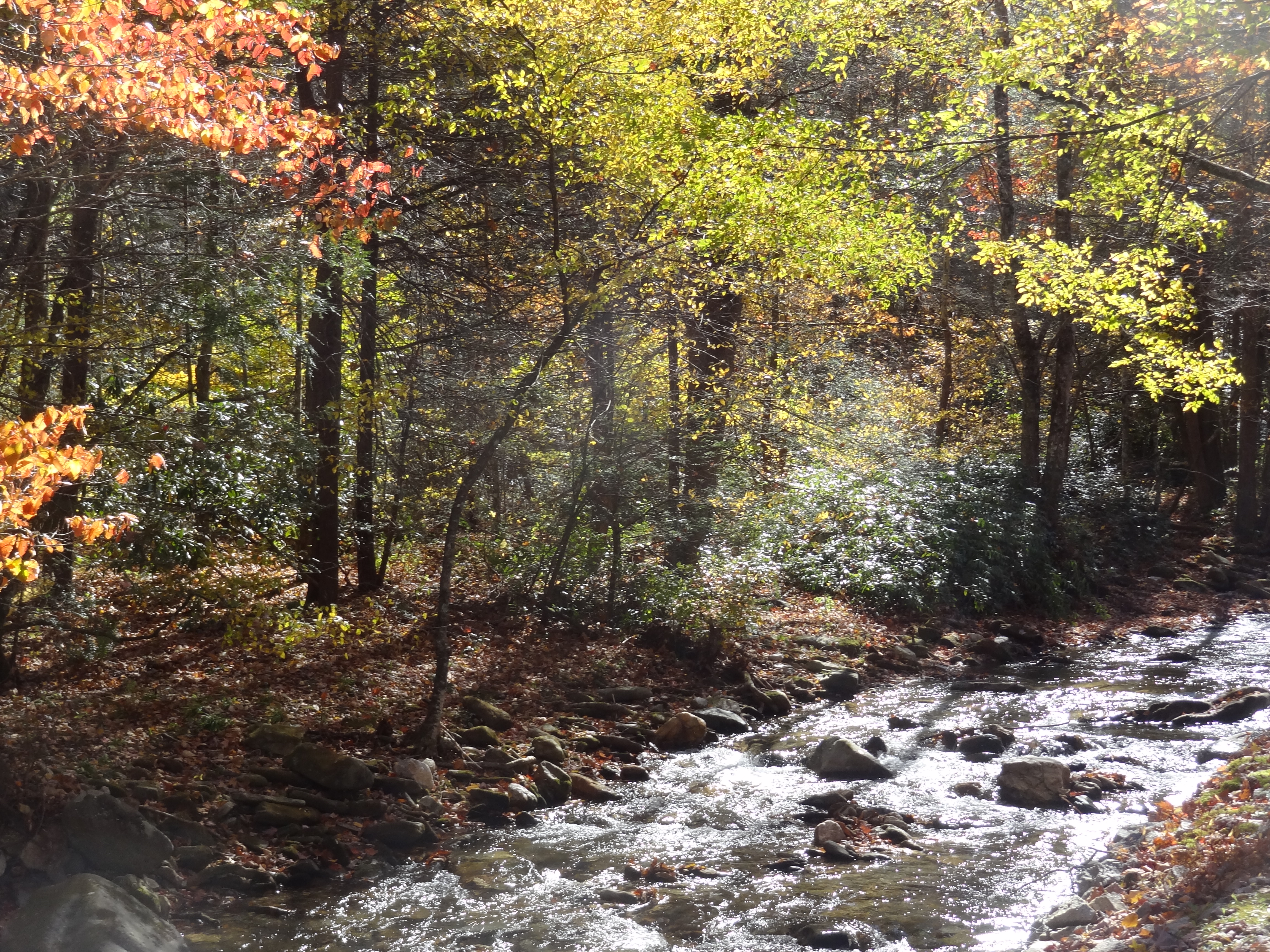
Big Crabtree Creek

Roaring Fork Falls North Carolina

Roaring Fork Falls and Pool

Roaring Fork Falls
View from Mt. Mitchell

Fence posts

Tom Creek Falls. Marion, NC

Tom’s Creek Fall. Woodlawn, North Carolina

Home sweet home

Catawba coal on the loops

Lookout Mountain

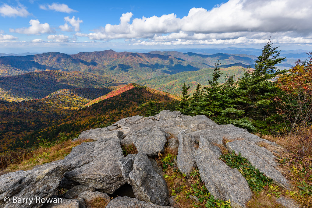
Top of North Carolina

Whiteoak Creek Falls

Crabtree Falls NC

Tom's Creek Falls in Autumn
Buck Creek with colorful trees

stone wall, hillside, winter, Montreat, North Carolina, Apple iPhone 11, 2.1.20

The Orange Rock
Black Mountain, North Carolina
Topographic Map of 36 Laurel Dr, Burnsville, NC, USA
Find elevation by address:

Places near 36 Laurel Dr, Burnsville, NC, USA:
33 Rainbow Ln
3 Falling Water Dr
857 S Toe River Rd
969 S Toe River Rd
Overlook Drive
785 S Toe River Rd
597 Sweetwater Rd
481 Sweetwater Rd
156 Signature Ln
134 Big Ridge Rd
93 Big Ridge Rd
69 Big Ridge Rd
40 National Forest Dr
Resort At Alpine Village
500 Overlook Dr
500 Overlook Dr
354 Big Ridge Rd
567 S Toe River Rd
565 S Toe River Rd
479 Big Ridge Rd
Recent Searches:
- Elevation of Corso Fratelli Cairoli, 35, Macerata MC, Italy
- Elevation of Tallevast Rd, Sarasota, FL, USA
- Elevation of 4th St E, Sonoma, CA, USA
- Elevation of Black Hollow Rd, Pennsdale, PA, USA
- Elevation of Oakland Ave, Williamsport, PA, USA
- Elevation of Pedrógão Grande, Portugal
- Elevation of Klee Dr, Martinsburg, WV, USA
- Elevation of Via Roma, Pieranica CR, Italy
- Elevation of Tavkvetili Mountain, Georgia
- Elevation of Hartfords Bluff Cir, Mt Pleasant, SC, USA