Elevation of 36 Creekview Blvd, Kingsville, ON N9Y 4E5, Canada
Location: Canada > Ontario > Essex County > Kingsville >
Longitude: -82.769587
Latitude: 42.0259802
Elevation: 182m / 597feet
Barometric Pressure: 99KPa
Elevation Map:
Satellite Map:
Related Photos:

_DSC2521.jpg

(North American Species # 499) Great Gray Owl - 3

Shh, Everyone's Sleeping.

PictureAug2009 405

Jenna III

Erie Sunset

Canadian Museum of Transportation

HDR...?

Saturday Afternoon Is For Napping

Sunflower Friday
Country Lane

Colchester Sunset

Dramatic End to the Day

Sunset at Sea Cliff

Approaching-Storm-30x38-2013
So calm....#vscocam
Leamington Ontario

2015-04-18

2012-09-14 20.10.03
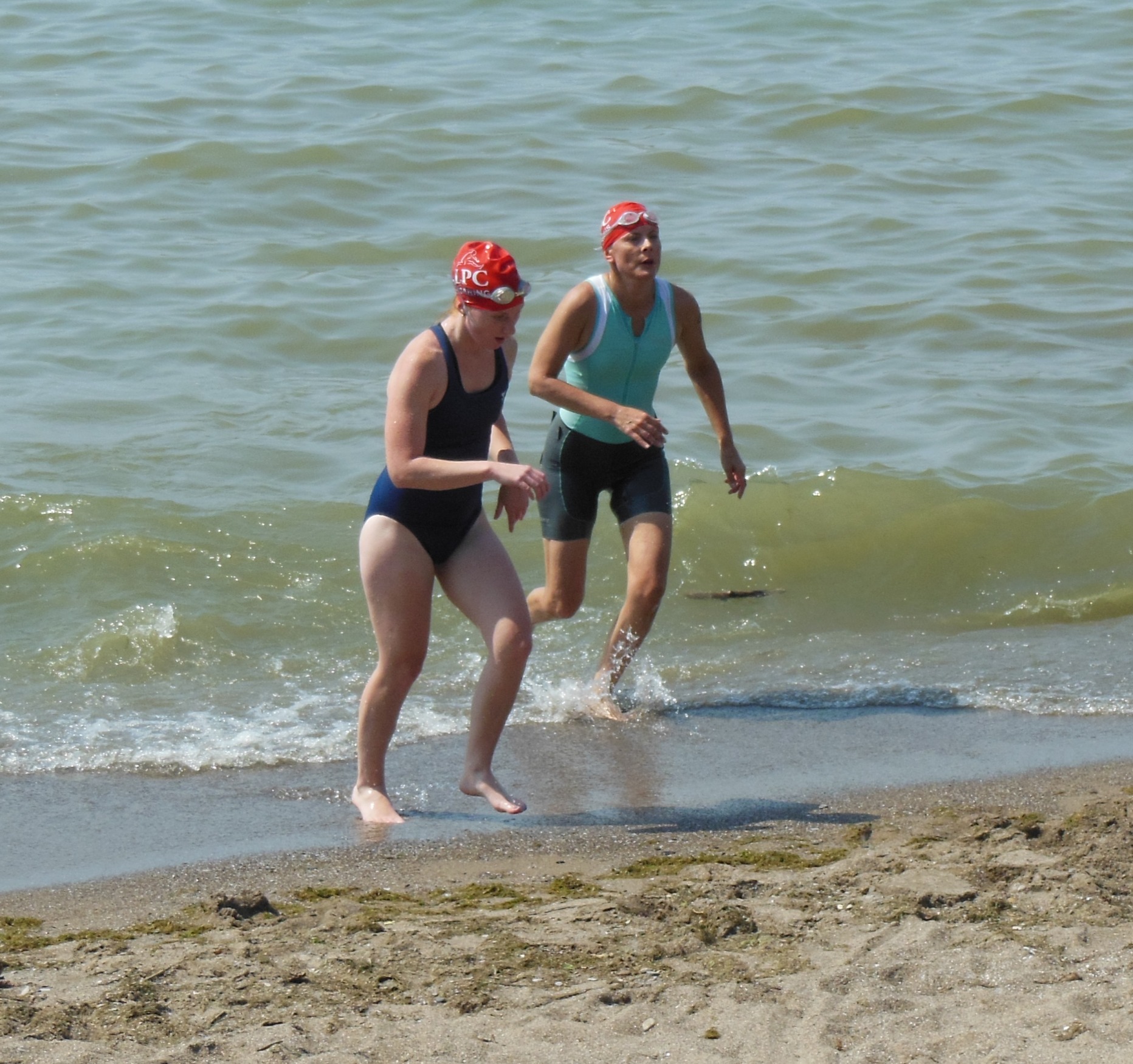
Female Sprint Swimmers

2012-09-14 20.11.17
Last Bit of Leamington, For Now.

Colchester Harbour
2012-09-16 17.50.28

M12C0058 - Peele Island ferry Jiimaan at sunrise after running aground near Kingsville
Fine morning with my wife at Coalchester Beach
P9014404-flkr
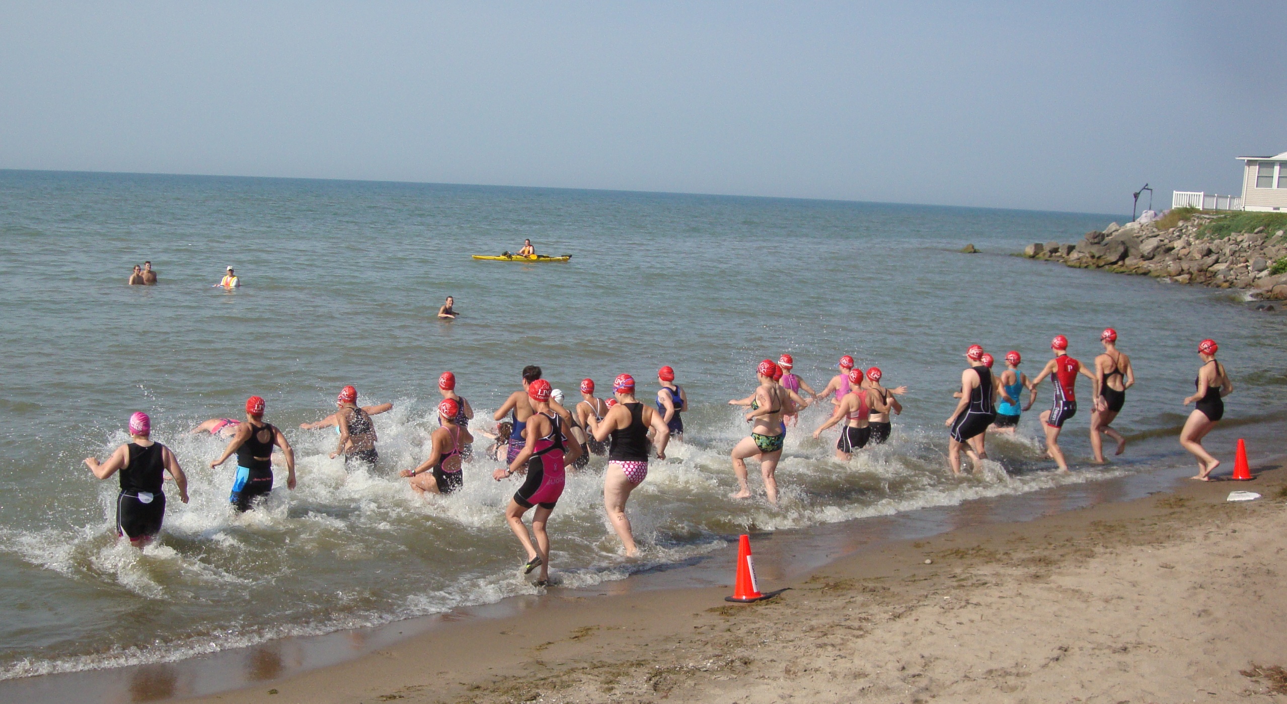
Loaring Triathlon 2012

Morning Tug

Point Pelee Run: June 2013
Loaring Triathlon 2012
Topographic Map of 36 Creekview Blvd, Kingsville, ON N9Y 4E5, Canada
Find elevation by address:

Places near 36 Creekview Blvd, Kingsville, ON N9Y 4E5, Canada:
570 Heritage Rd
178 Allen Ct
Kingsville
225 Prince Albert St N
Jasperson Drive
Essex County Rd 20, Kingsville, ON N9Y 2E4, Canada
McCain Side Rd, Cottam, ON N0R 1B0, Canada
Union
Seacliff Dr, Kingsville, ON N9Y 2M6, Canada
Ruthven
Regent St, Ruthven, ON N0P 2G0, Canada
46 Fox St
Cottam
Concession Rd 8, Harrow, ON N0R 1G0, Canada
2091 Seacliff Dr
3077 Centennial Crescent
2585 Essex County Rd 20
Essex County
Harrow
Seacliff Dr W, Leamington, ON N8H 3Y9, Canada
Recent Searches:
- Elevation of Corso Fratelli Cairoli, 35, Macerata MC, Italy
- Elevation of Tallevast Rd, Sarasota, FL, USA
- Elevation of 4th St E, Sonoma, CA, USA
- Elevation of Black Hollow Rd, Pennsdale, PA, USA
- Elevation of Oakland Ave, Williamsport, PA, USA
- Elevation of Pedrógão Grande, Portugal
- Elevation of Klee Dr, Martinsburg, WV, USA
- Elevation of Via Roma, Pieranica CR, Italy
- Elevation of Tavkvetili Mountain, Georgia
- Elevation of Hartfords Bluff Cir, Mt Pleasant, SC, USA