Elevation of 34 Slater Hill Rd, Dayville, CT, USA

Location: United States > Connecticut > Windham County > Killingly > Dayville >

Longitude: -71.823076

Latitude: 41.824138

Elevation: 193m / 633feet

Barometric Pressure: 99KPa

Elevation Map:

elevation map of 34 Slater Hill Rd, Dayville, CT, USA

Satellite Map:

Satellite map of 34 Slater Hill Rd, Dayville, CT, USA

Related Photos:

winter snow cold home connecticut ct ballouville
View from home in the snow
fall view
Live view setup
canon elph300hs waterscape ri rhodeisland mist reflection water almostanything wallpaper painterly
reflection in the mist
trees reflection tree nature pinetree forest reflections pond pines pinetrees waterreflection waterreflections pondreflection pondreflections glocesterri casimirpulaskistatepark
ENCHANTED FOREST REFLECTION
corn connecticut thompson quietcorner farmerscow forthillfarms
Fort Hill Farms
christmas christmastree christmastreefarm
Christmas Tree 2015
View from convent, Moosup, CT
pictures camera travel flowers blue trees light shadow red wild portrait sky bw orange usa brown sunlight white color green art fall window nature grass leaves yellow stone architecture clouds garden landscape fun fire photography grey daylight photo still weeds rust rocks flickr pretty view image pentax photos pics steel gray dream picture tint east photographs filter photograph planet wildflowers hue tone bizarre
fallin' silo
pictures camera travel flowers blue trees light wild bw usa brown sunlight color green fall window nature grass leaves yellow stone garden landscape fun photography grey daylight photo still weeds rocks flickr pretty view pentax photos pics gray picture tint east photographs filter photograph planet wildflowers hue tone bizarre
fallin' fields
blue white tarmac airplane airport aircraft tail wing ct canopy antenna fuselage smithnew nikond90nikon d90matravis englnadusa danielsonairport
tail's view
wedding lordthompsonmanor mkdphotography
Lord Thompson Manor Wedding - Thompson, CT - Dana & Peter-1002
instagramapp square squareformat iphoneography uploaded:by=instagram
Definitely one of my favorite views on Scenic Route 169 in the Quiet Corner town of Canterbury. I know I've posted photos of this barn and tree before but they're truly a four-season photo stop! @thelastgreenvalley @visitct #canterburyct #route169 #thequi
white flower macro digital canon bug insect rebel petals bokeh connecticut beetle dslr canonrebelxsi rebelxsi
Nice View from Up There.
square willow squareformat iphoneography instagramapp uploaded:by=instagram foursquare:venue=4cf7ff0f64e3721e32a629c8
Outside view of the #chapel and dining room building
Breakfast Nook 02
flowers nature field outdoors scenery view
Pomfret,CT
beautiful scenery view newengland
Pomfret,CT
Country view restaurant
Dam view
cemetery memorial connecticut headstone tombstone gravestone gps waldo pomfret 2015
0U1A3047 Pomfret CT GPS 41.87276 -71.96307
ri autumn trees fall colors leaves forest colorful unitedstates witch spirit ghost newengland haunted spooky foliage foster rhodeisland legend auntlonnie andrewlake legendtripping tuckerhollowroad
The Haunted Tucker Hollow Road
history unitedstates newengland haunted dirt foster rhodeisland dirtroad paranormal ghostlot auntlonnie trigphotography frankcgrace andrewlake legendtripping greenvilleparanormal tuckerhollowroad
Tucker Hollow Road
plants green landscape farm connecticut farming ct hills agriculture woodstock conn iphone harrisville woodstockct appleiphone woodstockconnecticut woodstockconn
Connecticut Farm
nature landscape connecticut newengland waterscape
Mary Brown Pond -- East Putnam CT.
unitedstates foster rhodeisland
Ram Tail Road Bridge
blue trees sky water clouds pond logcabin waterreflections pondreflections glocesterri casimirpulaskistatepark
BLUE AT DUSK {EXPLORED}
blue winter sky white snow tree nature weather silhouette season landscape drops bokeh circles bare branches february snowfall
February Sky
georgewashingtonstatepark nikond7100 park scenic pond water blue chepachetrhodeislandusa tamron24mmf25 tamron24mmf25bbarextrawideanglemodelcw24 modelcw24 hikingtrail autumn rhodeisland ri rhodeislandusa sirois manuallens
George Washington State Park_4_HDR
field clouds connecticut gimp ct photomatix ballouville
I've looked at clouds from both sides now...
sterling connecticut small new england town mill march 21 2018 lake hill forest
Sterling, Connecticut
georgewashingtonstatepark nikond7100 park scenic chepachetrhodeislandusa tamron24mmf25bbarextrawideanglemodelcw24 tamron24mmf25 modelcw24 hikingtrail autumn rhodeisland ri rhodeislandusa sirois manuallens
George Washington State Park_1_HDR
georgewashingtonstatepark nikond7100 park scenic chepachetrhodeislandusa tamron24mmf25bbarextrawideanglemodelcw24 tamron24mmf25 modelcw24 hikingtrail autumn rhodeisland ri rhodeislandusa sirois manuallens
George Washington State Park_2_HDR
statepark swimming boats outdoors hike connnecticut stateforest thompsonct ronpersan quaddickstateparkct
Quaddick State Park-Thompson Ct_0010
Wolf Den State Park, Pomfret CT
Wolf Den State Park
square squareformat iphoneography instagramapp uploaded:by=instagram foursquare:venue=51464bb2e4b042f54ed7ae6c
My favorite little #waterfall , in the #fall #autumn #leaves
sunset clouds connecticut gimp ct hdr photomatix windhamcounty qtpfsgui ballouville
Ballouville sunset
connecticut adobetextures putnam nikcoloreffexpro unitedstates us
Quinabaug River Falls
park tree nature forest photography outdoor olympus
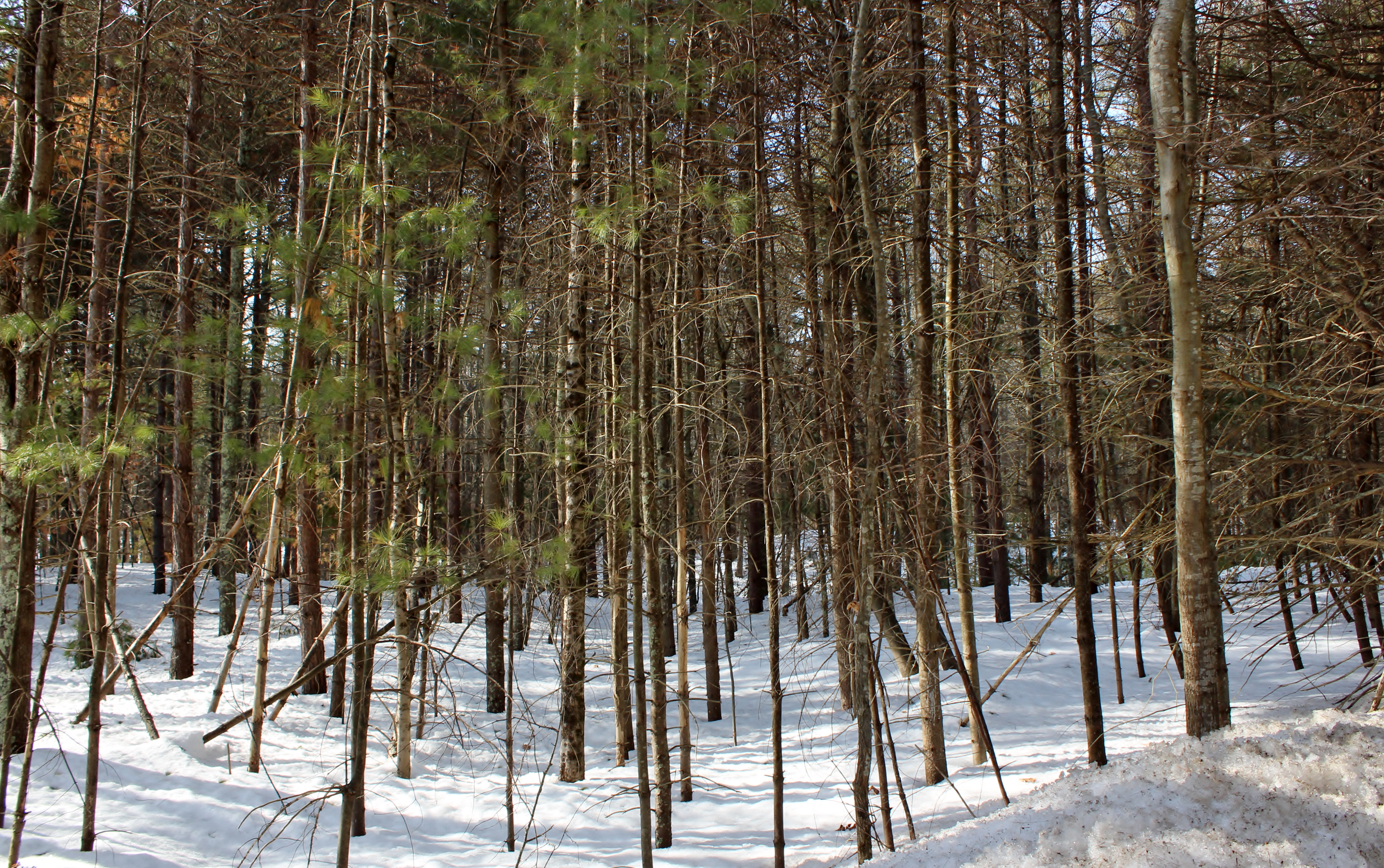
Upon the Forest Floor.
NECR/PW/CN OCS-1