Elevation of Dayville, Killingly, CT, USA
Location: United States > Connecticut > Windham County > Killingly >
Longitude: -71.887844
Latitude: 41.8462044
Elevation: 78m / 256feet
Barometric Pressure: 100KPa
Elevation Map:
Satellite Map:
Related Photos:
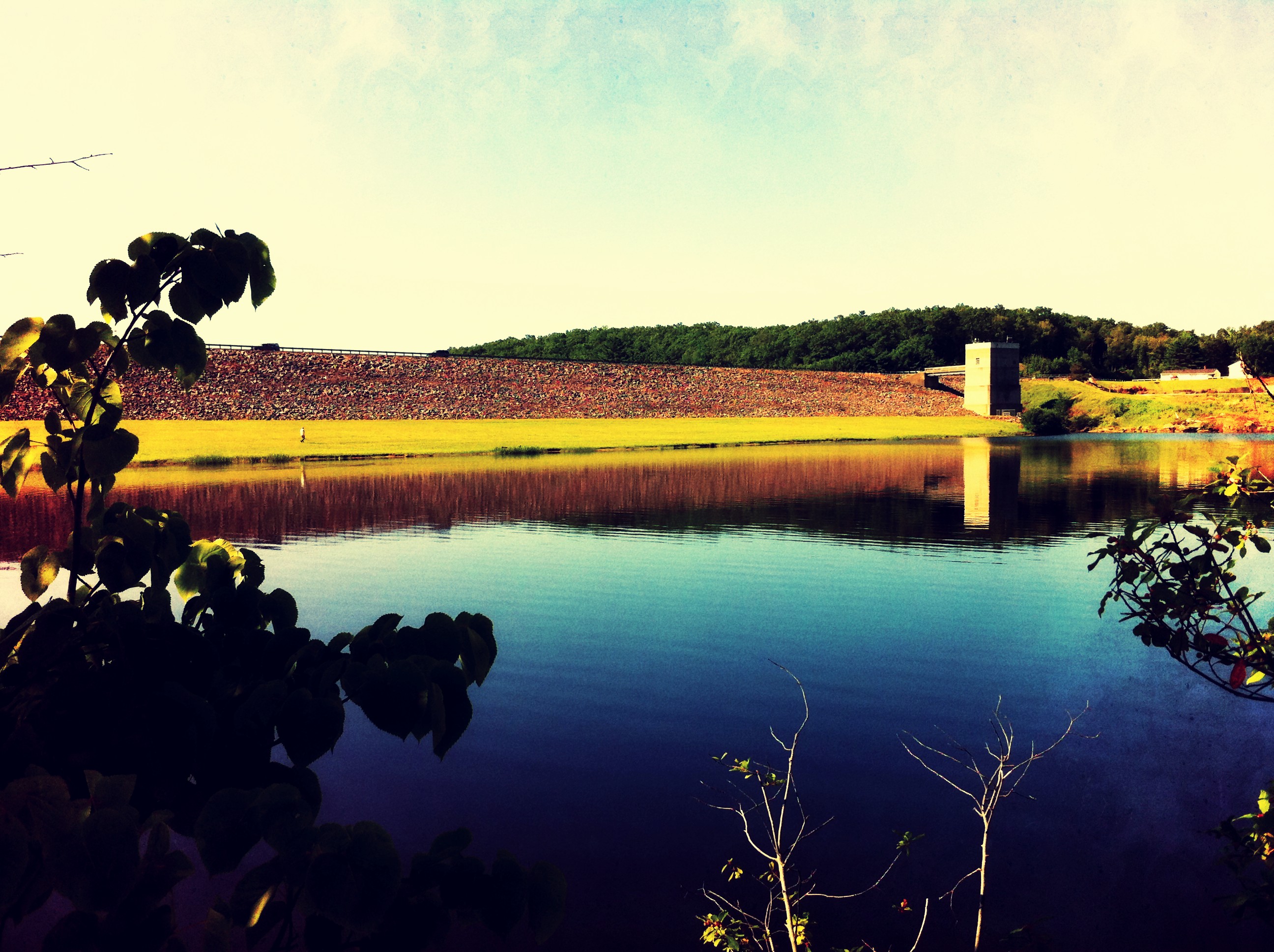
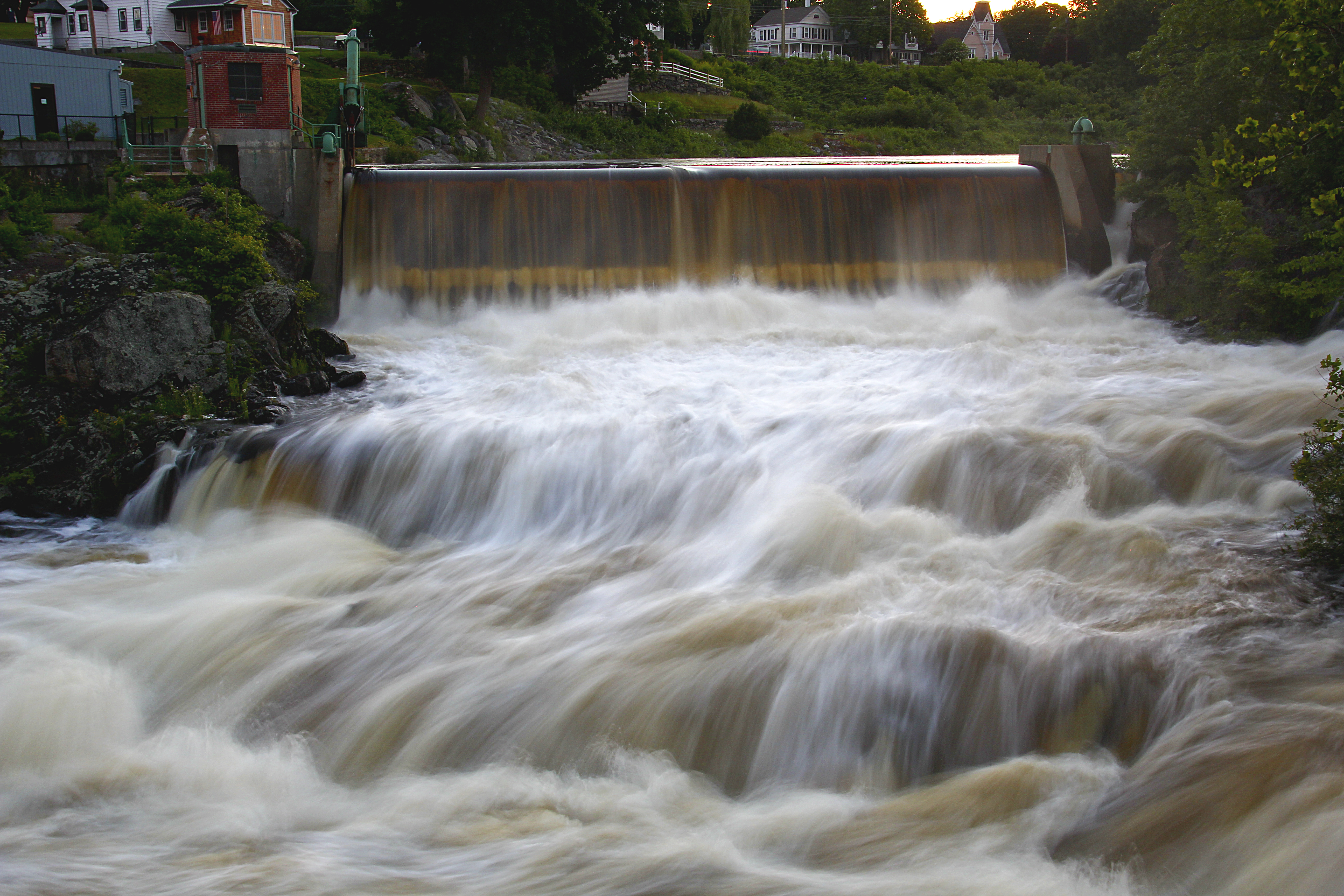
Dam view
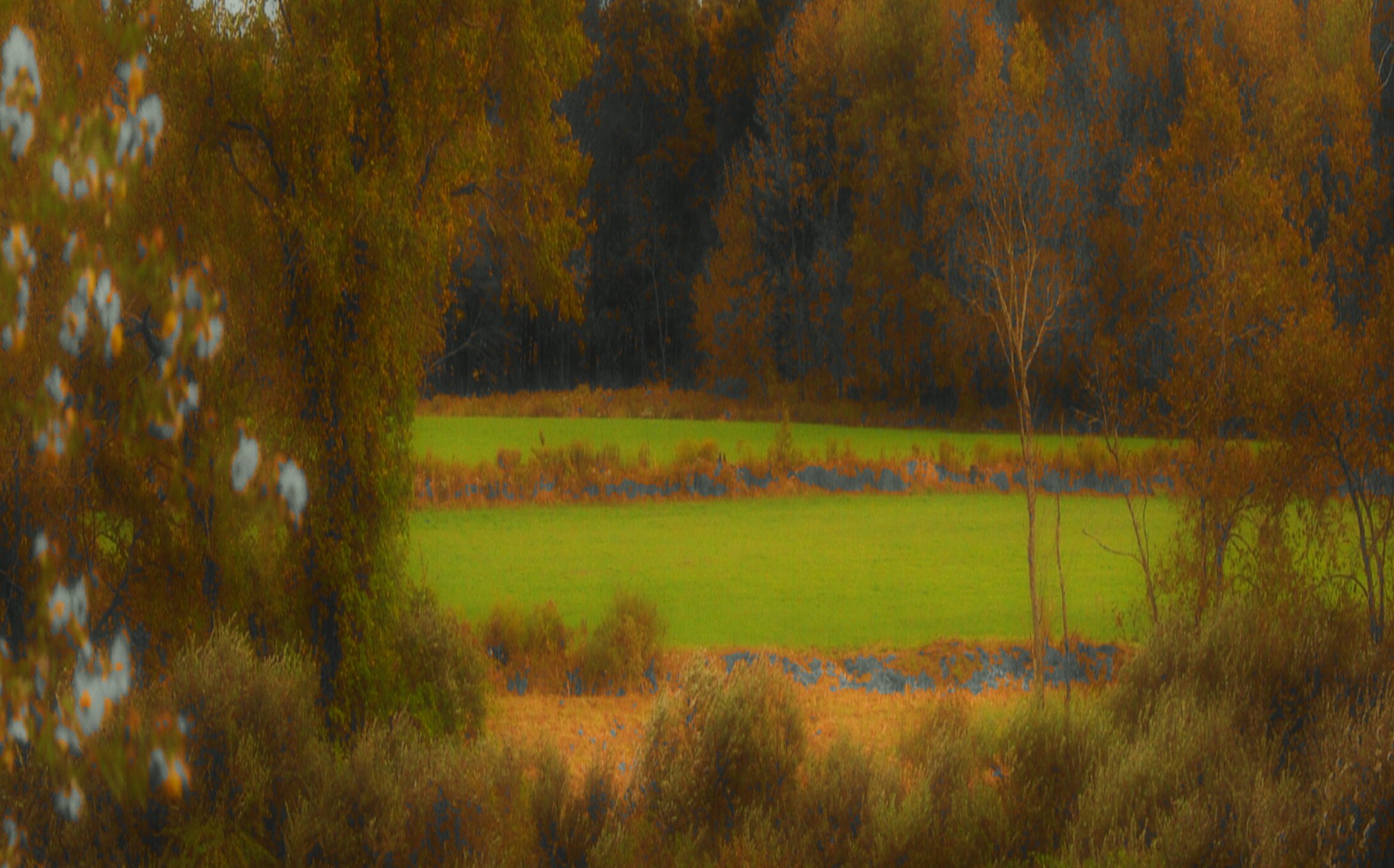
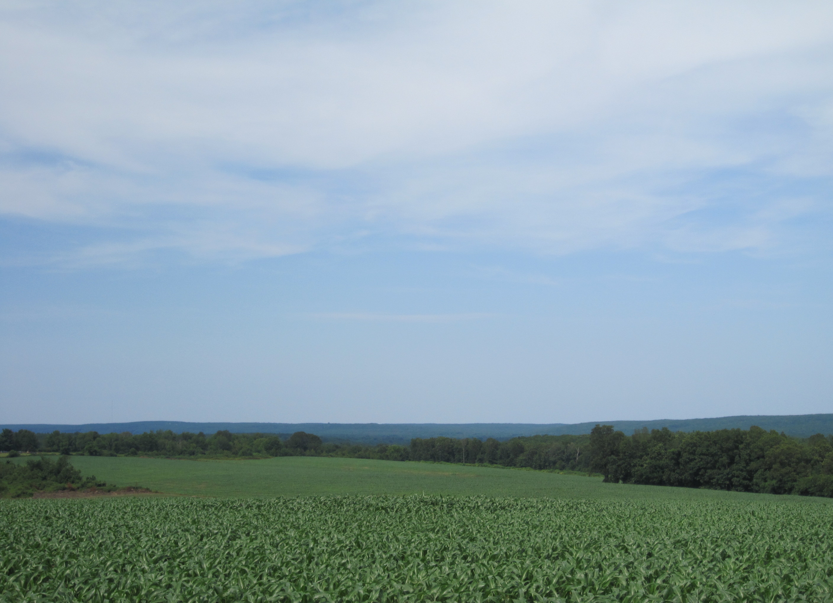
fallin' fields

Country view restaurant
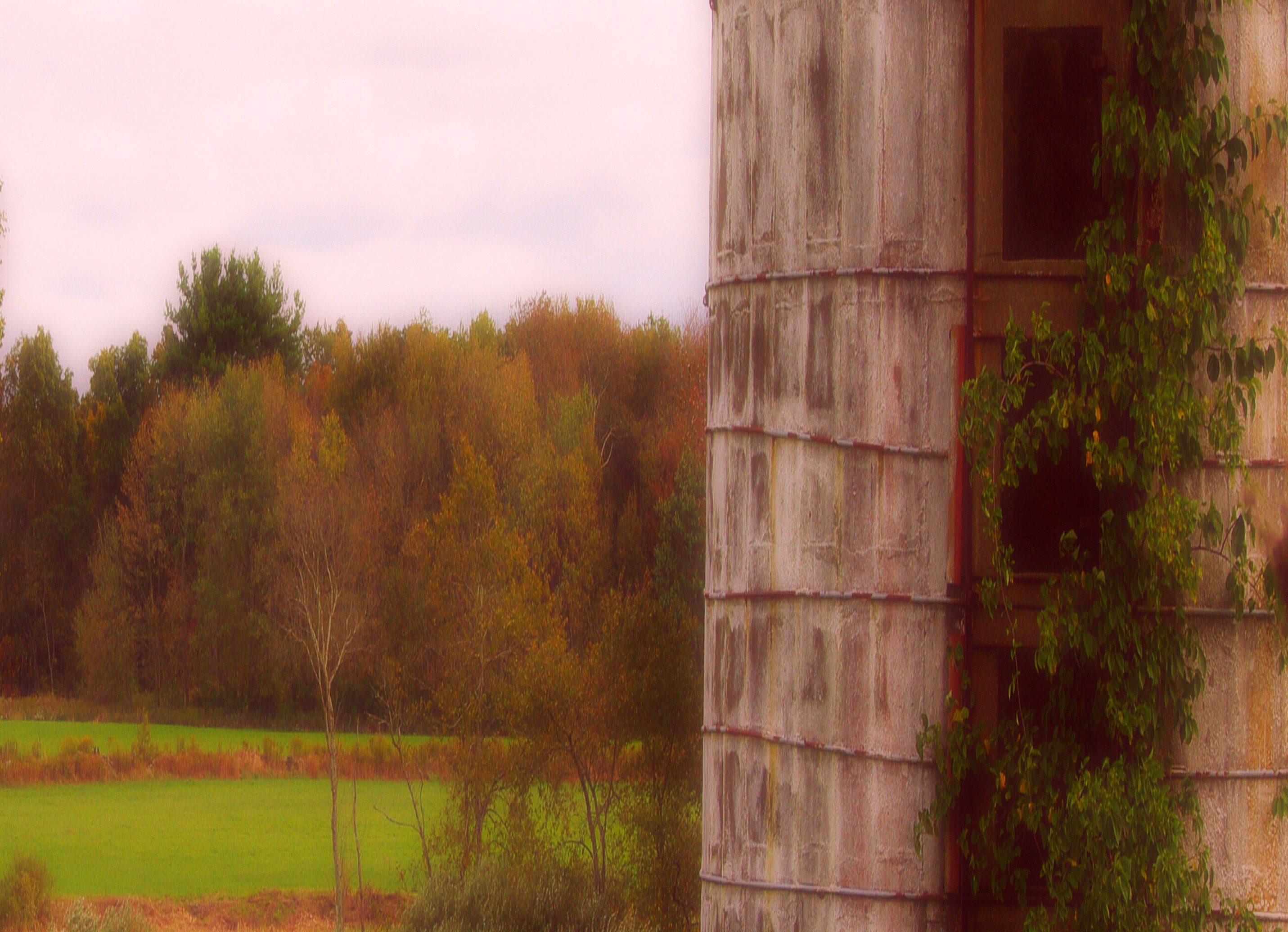
fallin' silo

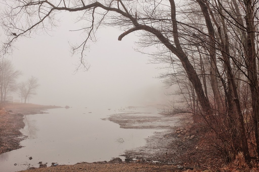
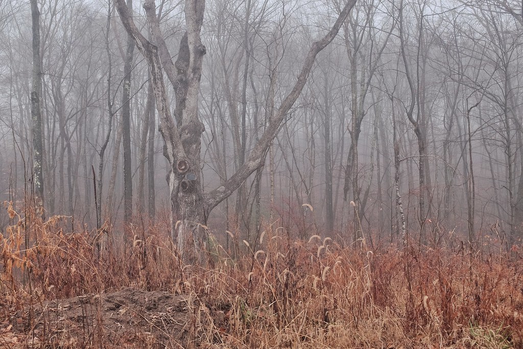
ENCHANTED FOREST REFLECTION
Pomfret,CT

Woodstock Fair
Fort Hill Farms
Pomfret,CT
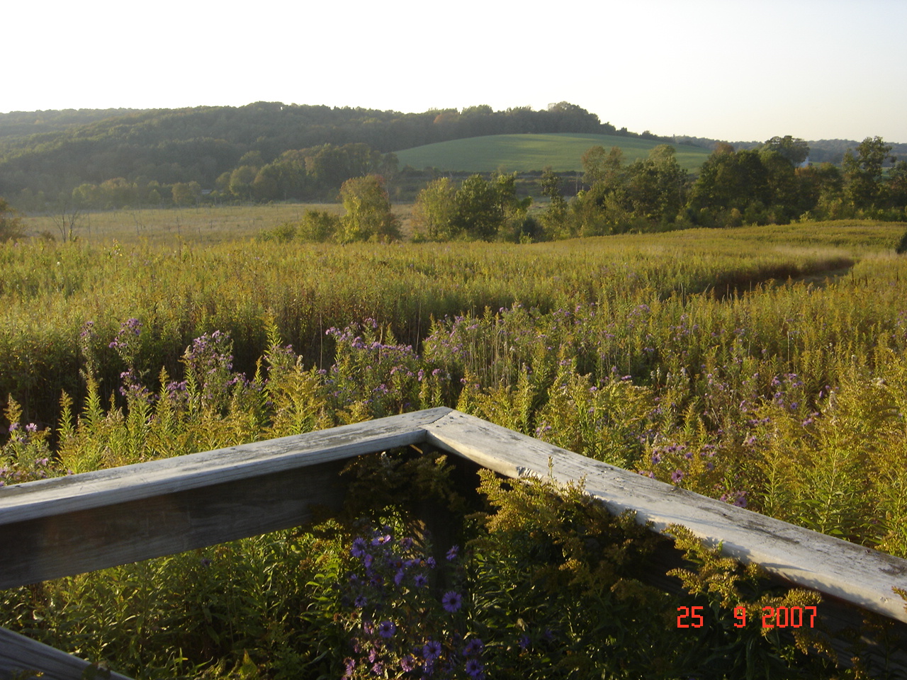
View from Deck 02
Outside view of the #chapel and dining room building

tail's view

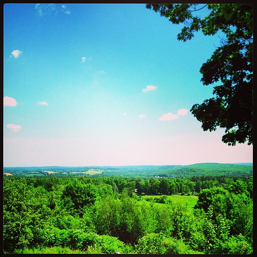
Nice View from Up There.
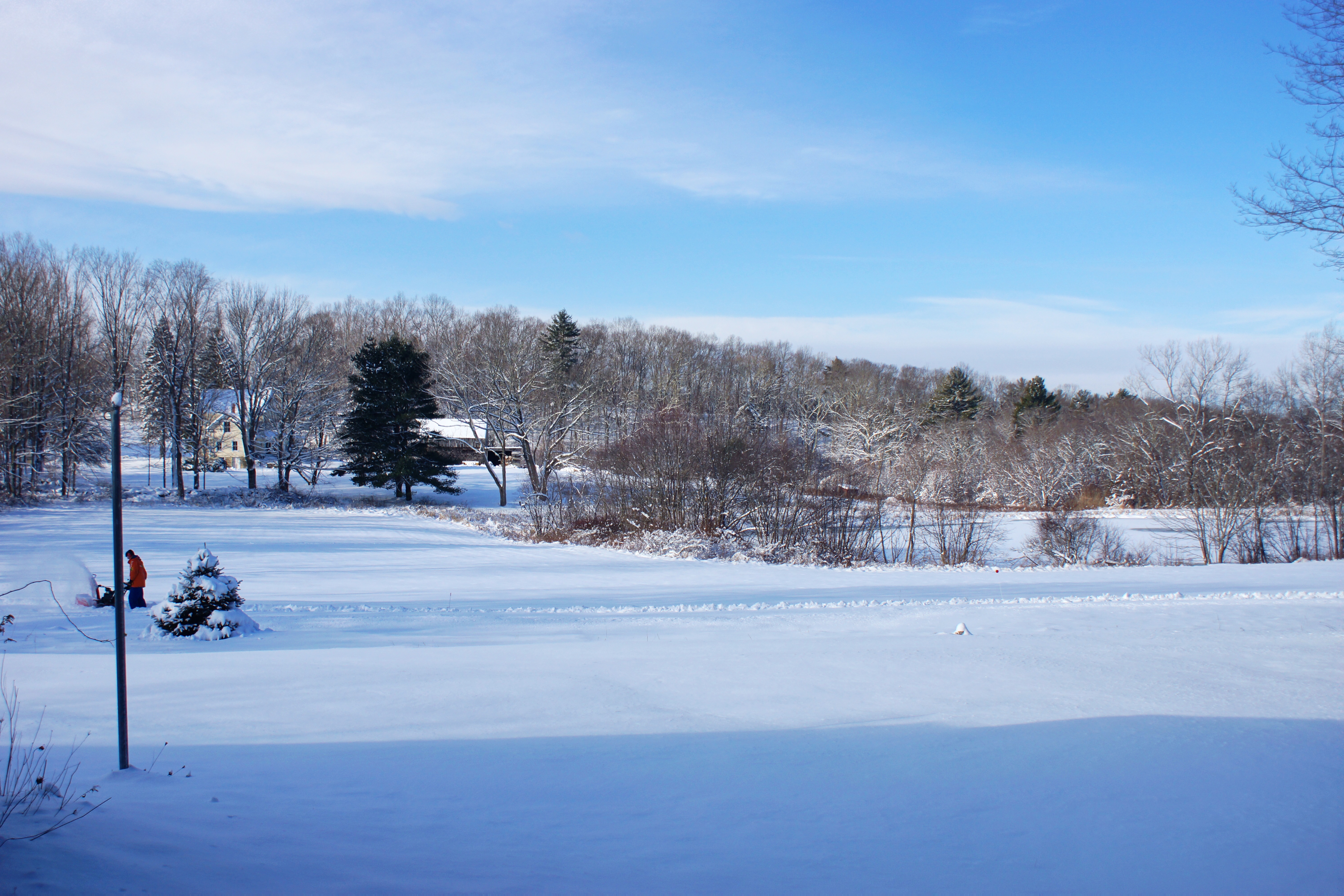
View from home in the snow
MBR 01
Dining Room 02
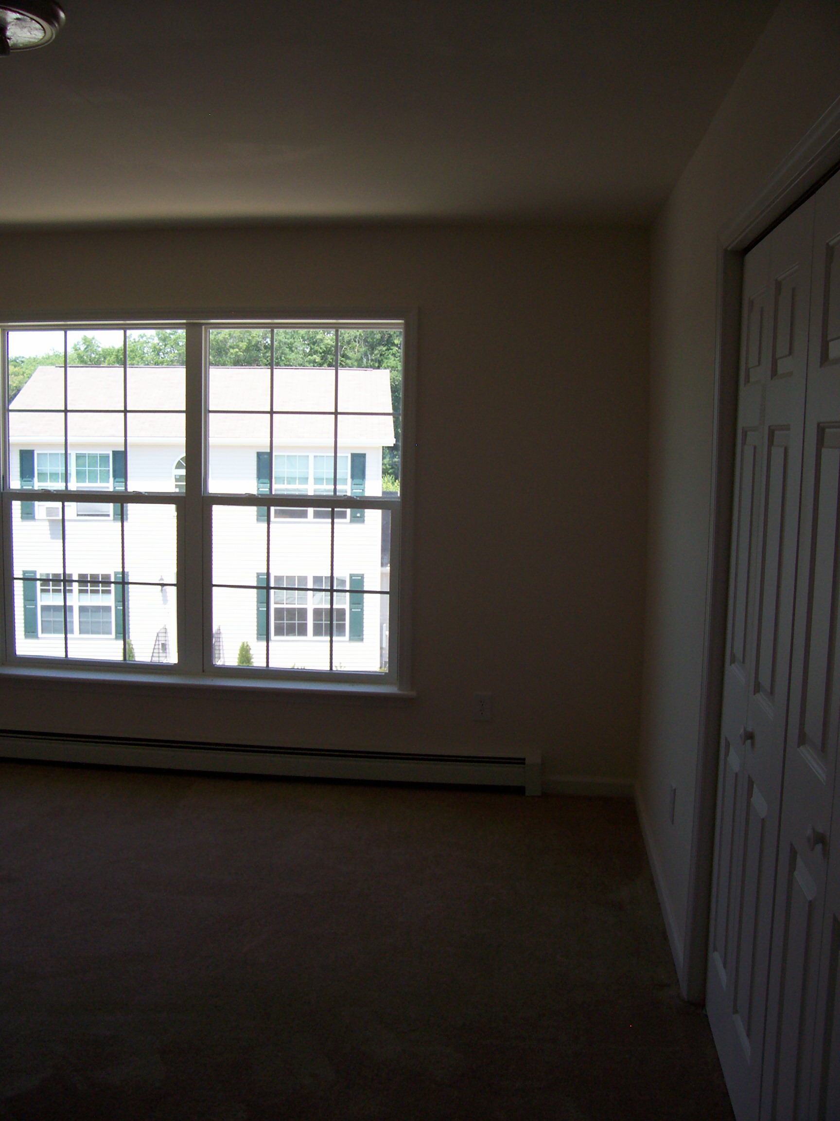
Bedroom 2 02
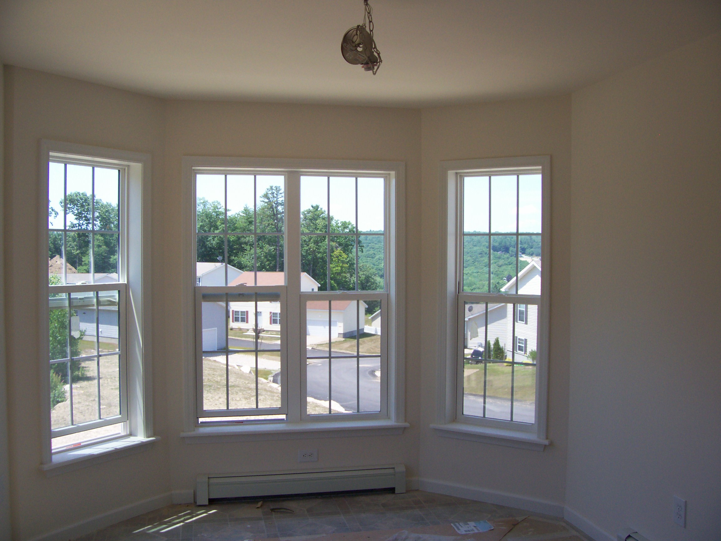
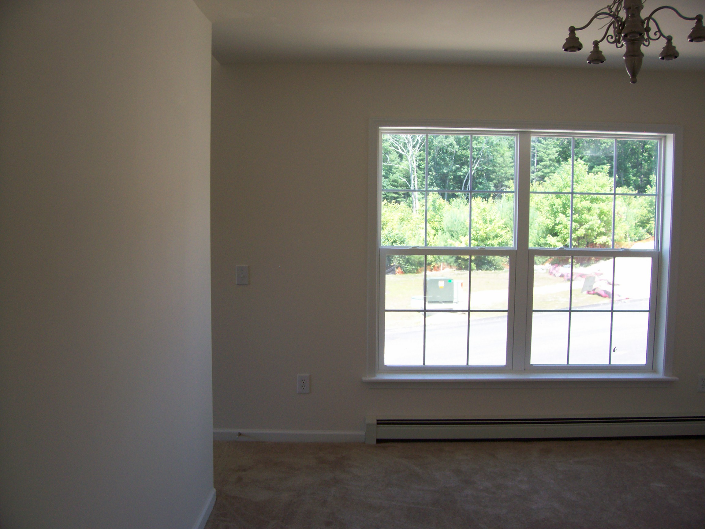
Breakfast Nook 02
View from Deck 01
Living Room 02

MBATH 01

French River Sunset
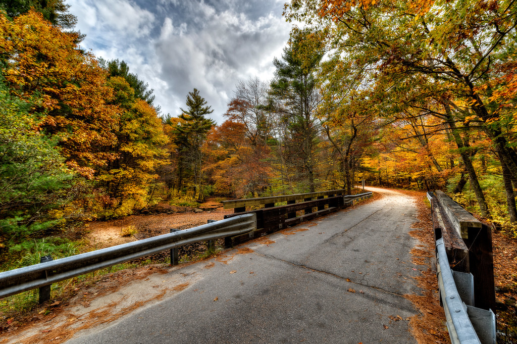
Ram Tail Road Bridge
Putnum, Connecticut

BLUE AT DUSK {EXPLORED}
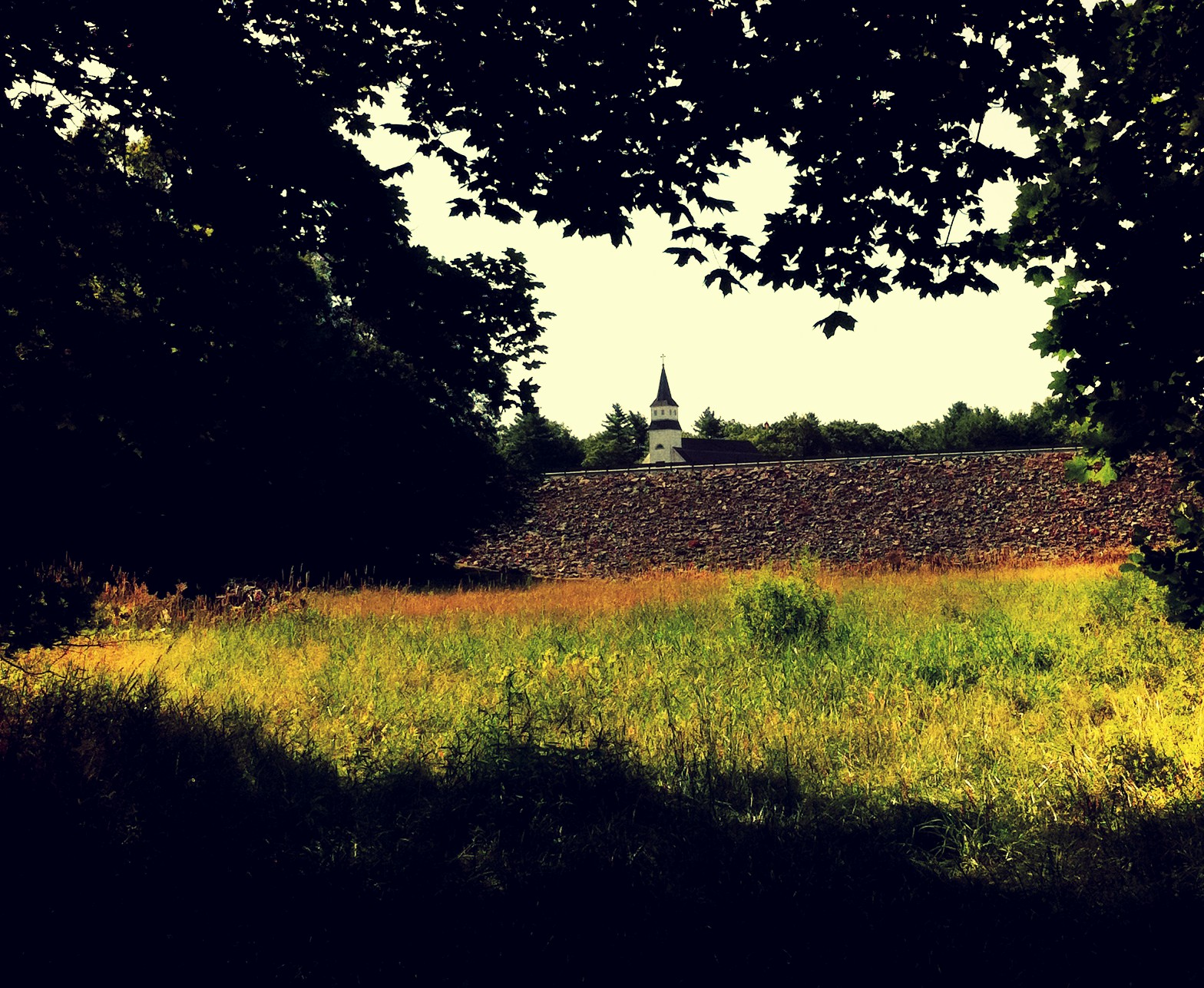
Dam steeple
Woodstock, CT
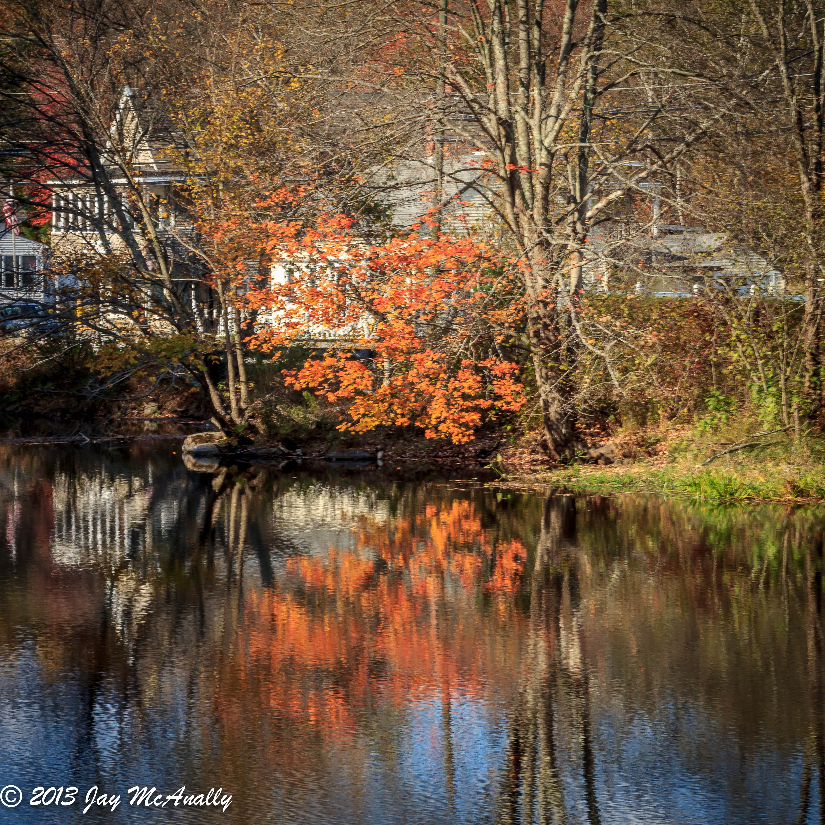
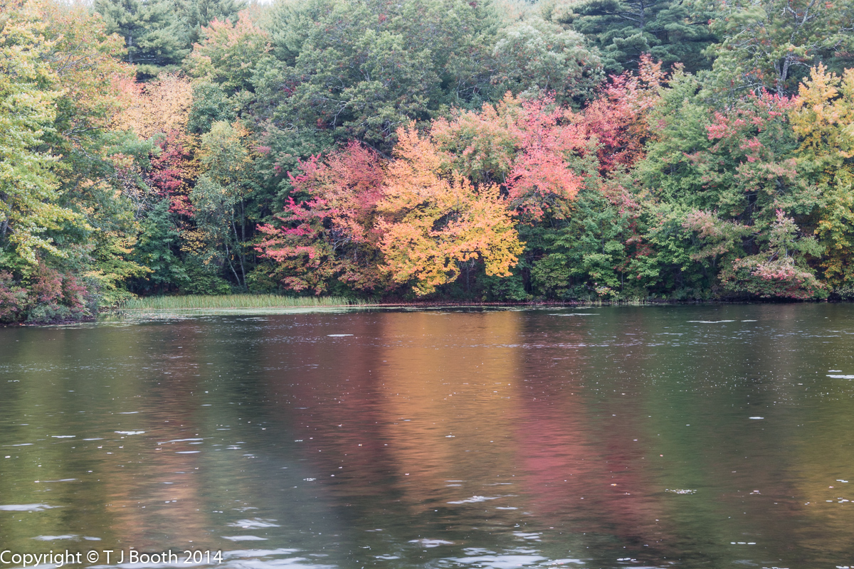
Fall Reflections
Woodstock, CT
The Quiet Corner

NECR/PW/CN OCS-1

418-1
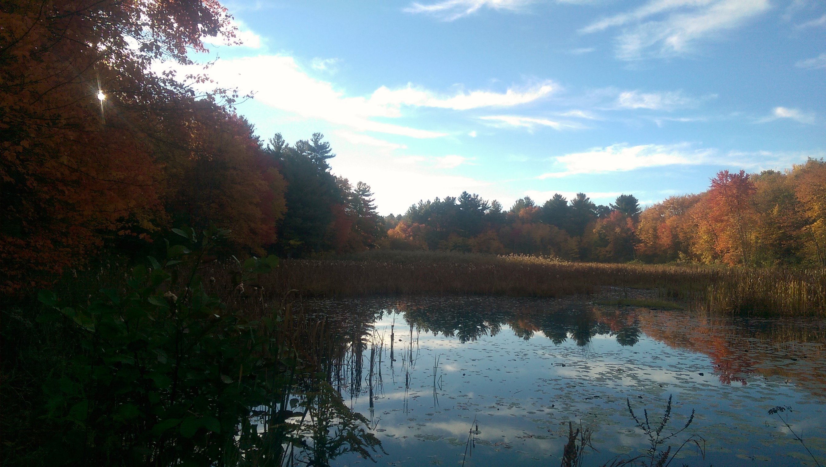
Autumn Lake

Brooklyn CT
#fall #foliage #landscape #Connecticut

West Thompson Dam #2 - Control Tower

Beautiful Ballouville #sunset!
I've looked at clouds from both sides now...

Lake through the Trees
Putnam Path
Silhouettes After #tree #fall #cloud #cloudporn #sky #skyporn #igers #igers_philly #vsco #vscocam
Ballouville Sunrise
Topographic Map of Dayville, Killingly, CT, USA
Find elevation by address:

Places in Dayville, Killingly, CT, USA:
Thompson Pike, Dayville, CT, USA
Hartford Pike, Dayville, CT, USA
21 Putnam Rd, Dayville, CT, USA
Putnam Pike, Dayville, CT, USA
Hartford Pike, Dayville, CT, USA
State Ave, Dayville, CT, USA
Country Club Road
Places near Dayville, Killingly, CT, USA:
17 Sayles Ave
1001 Upper Maple St
Hartford Pike, Dayville, CT, USA
State Ave, Dayville, CT, USA
Putnam Pike, Dayville, CT, USA
17 Country Club Rd
440 Putnam Pike
442 Putnam Pike
442 Putnam Pike
441 Putnam Pike
89 Breakneck Hill Rd
Country Club Road
200 Breakneck Hill Rd
15 Searles Rd
Thompson Pike, Dayville, CT, USA
145 Searles Rd
21 Putnam Rd, Dayville, CT, USA
4 5 Mile River Rd
Putnam
245 Liberty Hwy
Recent Searches:
- Elevation of Corso Fratelli Cairoli, 35, Macerata MC, Italy
- Elevation of Tallevast Rd, Sarasota, FL, USA
- Elevation of 4th St E, Sonoma, CA, USA
- Elevation of Black Hollow Rd, Pennsdale, PA, USA
- Elevation of Oakland Ave, Williamsport, PA, USA
- Elevation of Pedrógão Grande, Portugal
- Elevation of Klee Dr, Martinsburg, WV, USA
- Elevation of Via Roma, Pieranica CR, Italy
- Elevation of Tavkvetili Mountain, Georgia
- Elevation of Hartfords Bluff Cir, Mt Pleasant, SC, USA