Elevation of 34 Meadow Dr, Oakland, ME, USA
Location: United States > Maine > Kennebec County > Oakland > Oakland >

Longitude: -69.681758

Latitude: 44.5606562

Elevation: 80m / 262feet

Barometric Pressure: 100KPa

Elevation Map:

elevation map of 34 Meadow Dr, Oakland, ME, USA

Satellite Map:

Satellite map of 34 Meadow Dr, Oakland, ME, USA

Related Photos:

longexposure trees night clouds stars pentax maine clear fields moonlight benton explored sigma1020mmf35 Astrometrydotnet:status=failed pentaxk30 Astrometrydotnet:id=alpha20130447199483
Sunkhaze Meadows Under the Stars; Benton, Maine
sunset pentax 28mm maine waterville hdr orton k30 kennebeccounty pentaxk30
Leighton Street; Waterville, Maine
trees signs vanishingpoint mainstreet maine waterville kennebeccounty
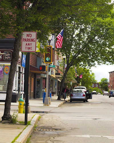
SI - June 9, 2013; Main Street; Waterville, Maine
stars space nebula orion orionnebula ogps1
October 3, 2014 - Orion Nebula
leica summer portrait usa college campus pond hill maine johnson m summicron waterville f2 28 asph colby mayflower 240 moveinday classof2018
Colby College
leica blue autumn summer portrait sky usa fall college campus landscape student university library flag lawn maine newengland quad m miller summicron waterville f2 28 freshman asph colby 240 liberalarts moveinday classof2018
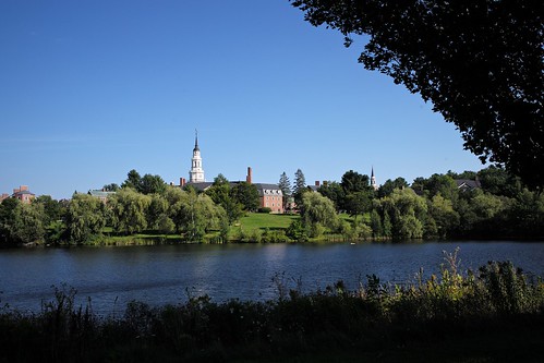
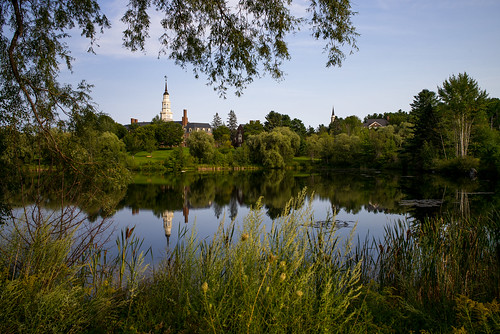
Colby College: Miller Library viewed from Lorimer Chapel
bridge panorama snow cityscape waterville gloom winslow kennebecriver pentaxm50mmf14 pentaxk30
SI - March 10; Waterville, Maine
leica summer portrait usa college campus pond hill maine johnson m summicron waterville f2 28 asph colby mayflower 240 moveinday classof2018
Colby College
night canon maine burgerking waterville hdr bk a470 chdk
Burger King at Night; Waterville, Maine
tower clock college reunion buildings view weekend flag quad aerial colby academic pathways
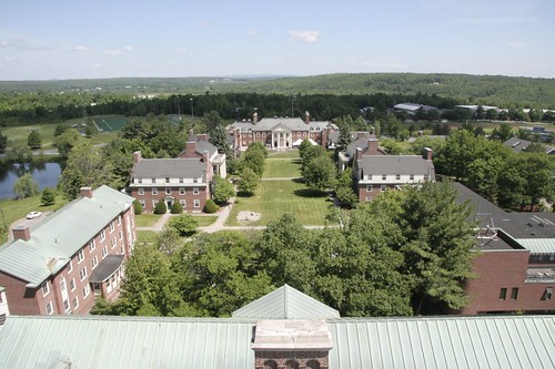
Academic Quad
college campus view dorm hill aerial waterville colby mayflower robertsrow
Robert's Row
county fog night reflections river maine kennebec winslow a470 sebasticook regionwide
Sebasticook River; Winslow, Maine
sunset usa lake nature geotagged pond maine geotoolyuancc jemweald geolat4456589 geolon69854593
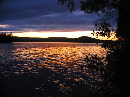
on golden pond
county trees light usa cloud tree cars me car night clouds rural dark lights woods highway maine trails vehicles vehicle interstate sidney i95 kennebec
I-95 at Night
waterville hdr winslow a470 kennebecriver cartermemorialbridge
Carter Memorial Bridge
usa nature water landscape waterfall stream maine places sidney westriverrd kennebeccounty reynoldsforest
Goff Brook Falls 2
trees light plants usa plant motion color colour tree fall nature leaves leaf movement maine places sidney impressionist photoeffects kennebeccounty dinsmorerd
Fall Color
Pine Tree Camp sunset 7-16-2010
square squareformat amaro iphoneography instagramapp uploaded:by=instagram foursquare:venue=4ad733f7f964a520fa0821e3
beautiful mountain views #oakgrovecoburn #reunion #school #memories #maine
summer lake green water maine 2007
China Lake
square squareformat rise iphoneography instagramapp uploaded:by=instagram foursquare:venue=4f2c0db5e4b03d6f92b83d20
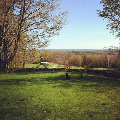
the view from the front porch #visitingfriends #friends #maine
me waterville
Fern Forest
blue trees mill water clouds reflections day factory pentax maine kennebec winslow kennebecriver k30 kennebeccounty sigma1020mmf35 watervile pentaxk30 pwpartlycloudy
SI - May 19, 2013; The Kennebec; Waterville-Winslow, Maine
sunset cloudy maine waterville winslow kennebeccounty pentaxk30 searsautozoom70210mmf4macro
After the Storms; Waterville, Maine
county blue mill water reflections river day pentax sunny clear waterville glassy kennebec winslow kx
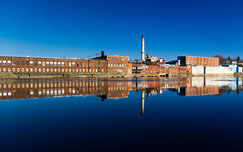
Mill; Winslow, Maine
blue autumn sky water river day maine sunny waterville winslow kennebecriver kennebeccounty sigma1020mmf35 headoffalls pentaxk30 pwpartlycloudy
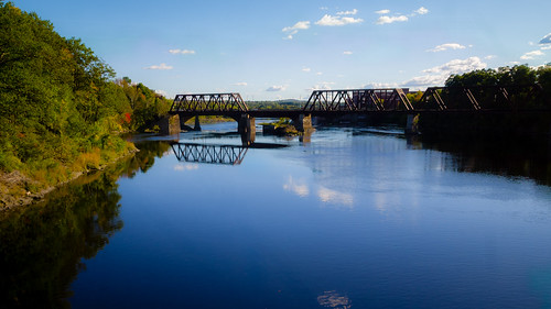
Head of Falls Railroad Bridge; Watervile, Maine
blue water clouds maine waterville winslow kennebecriver pp665f
Rolling; Waterville, Maine
maine waterville kennebecriver pentaxk30 searsautozoom70210mmf4macro
SI - April 10, 2013; Head of Falls Twilight; Waterville, Maine
leica summer usa reflection college campus student pond university day maine arts johnson lac m summicron waterville 28 liberal colby movein 240 colbycollege 2015 nescac colby2019
Colby College
water river rocks maine waterville hdr kennebecriver kennebeccounty topazclarity pentaxk30 autosears28mmf28macro
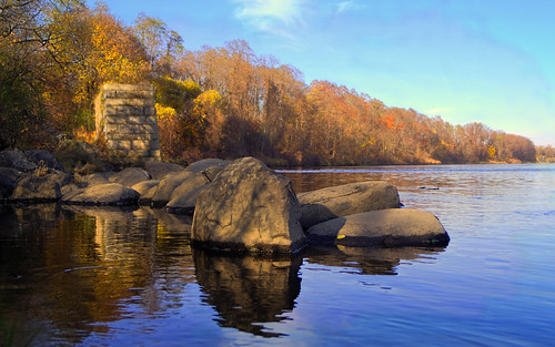
November 9, 2014 - Kennebec River
water pond nikon maine johnson d7100
Johnson Pond
mist cold sunrise colorful waterville pentaxm200mmf4 singlein
March 1, 2015 - Misty Sunrise; Waterville, Maine
leica summer usa college campus landscape library flag steps lawn maine newengland sunny quad m miller summicron waterville f2 28 flagpole asph colby academic 240 moveinday classof2018 nescac
Colby College
square squareformat mayfair iphoneography instagramapp uploaded:by=instagram foursquare:venue=4ff85075e4b03e295860f43d
Taking a stroll before the storms hit later...
longexposure school brick me church night clouds landscape country maine wideangle chapel astro charter startrails goodwillhinckley timestack moodychapel
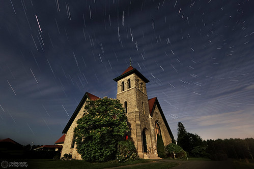
Moody Chapel - Star Trails
Messing with the Flickr app.
leica blue autumn summer portrait sky usa fall college campus landscape student university library flag lawn maine newengland quad m miller summicron waterville f2 28 freshman asph colby 240 liberalarts moveinday classof2018
The Freshman at Colby