Elevation of 31 N Tannery Rd, Westminster, MD, USA
Location: United States > Maryland > Carroll County > 7, Westminster > Westminster >
Longitude: -76.952664
Latitude: 39.576807
Elevation: 246m / 807feet
Barometric Pressure: 98KPa
Elevation Map:
Satellite Map:
Related Photos:

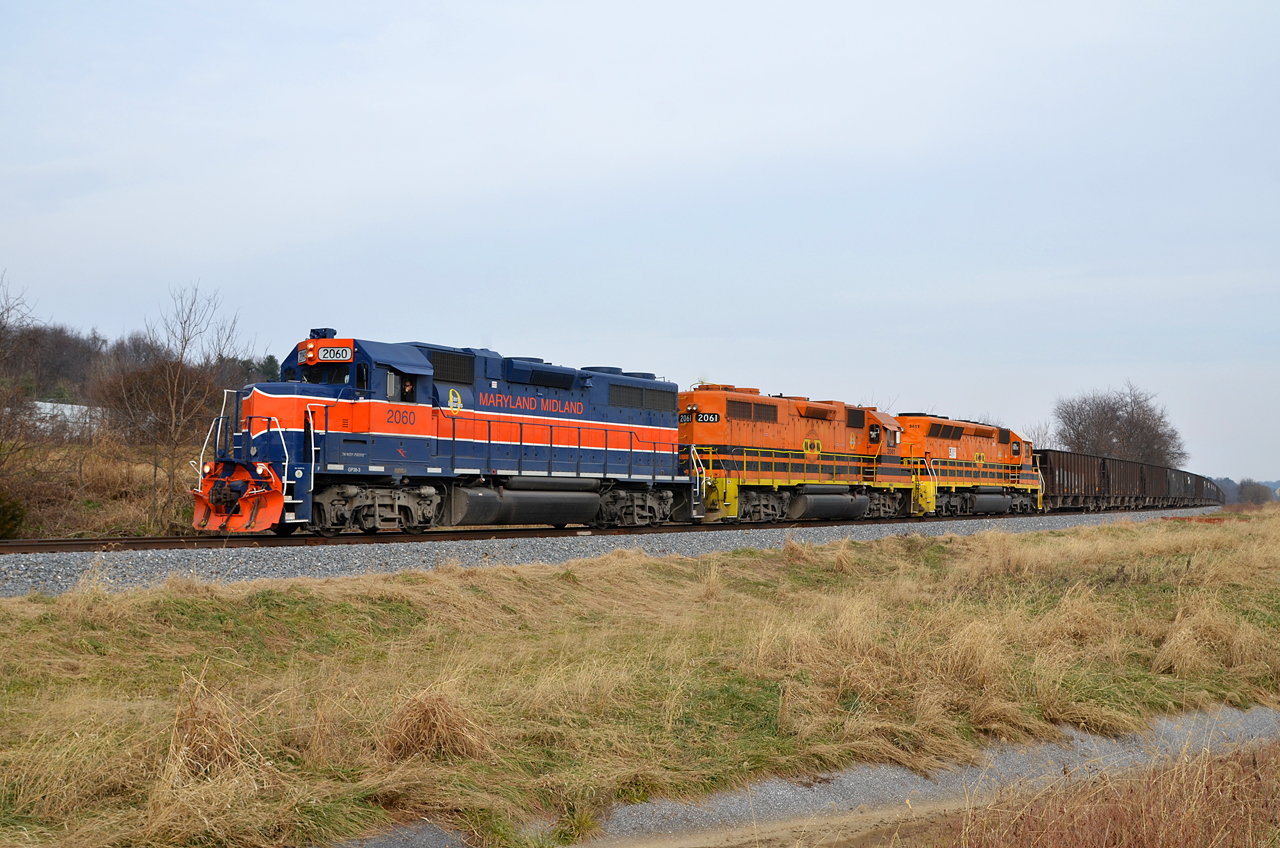
2018 12-12 1245 MMID GP38-3-2060 W/B UBST New Windsor, MD

pastoral - explore 2-2/18

The Infamous Tornado Photo [08.14.12]
2018 12-12 1246-7 MMID GP38-3-2060 W/B UBST New Windsor, MD

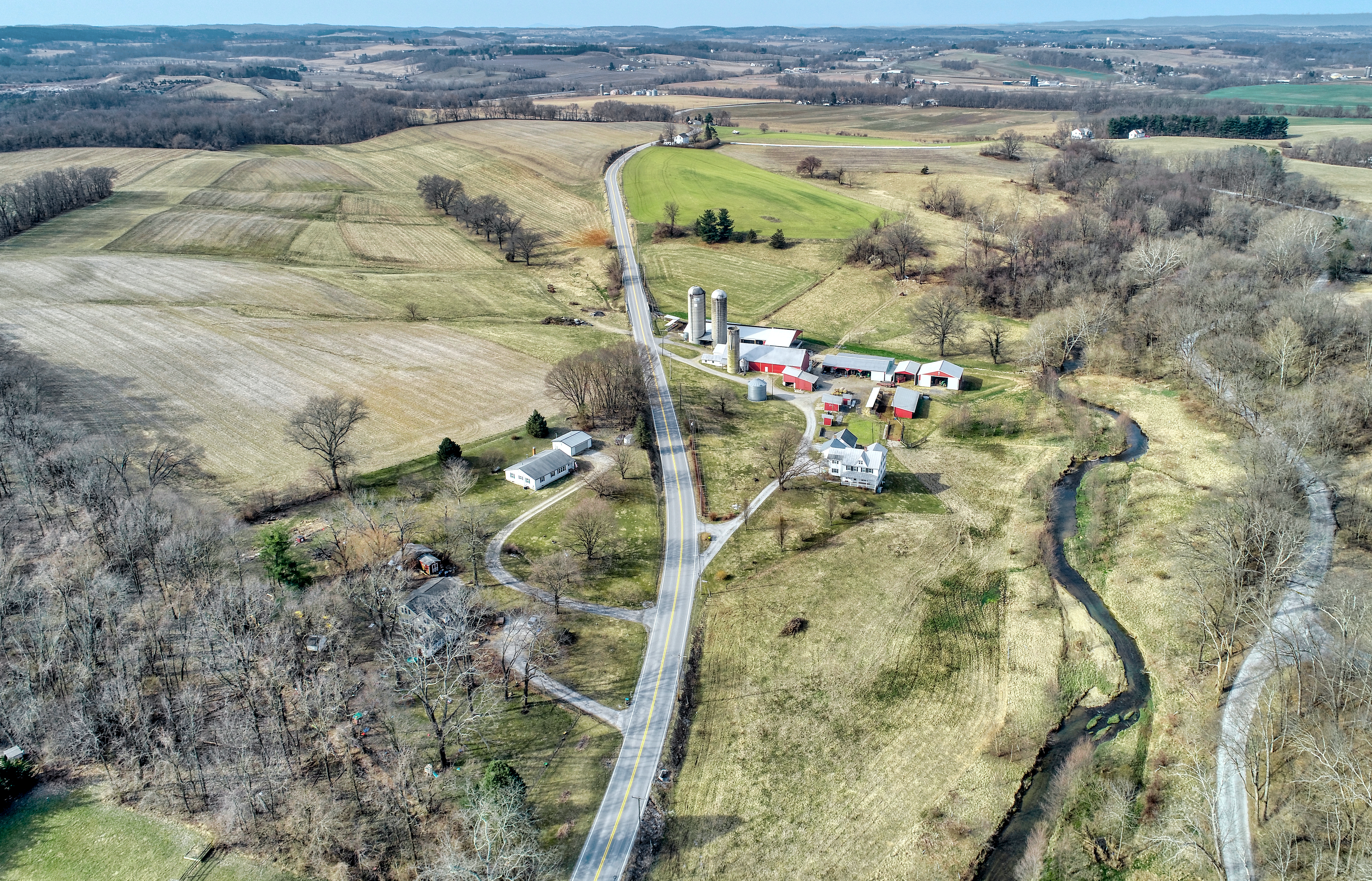
A view of Uniountown Rd. Carroll Co., MD.
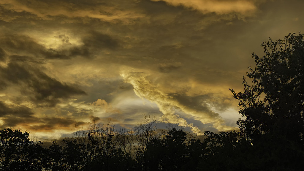
Thunderstorm Sunset

New Windsor Sunrise

A Real Mish-Mosh

American Avocet
Westminster, Maryland

St. John's Cemetery

"8X5 Reasons to love Carroll County"

The Real Thing

Don's TV

Carroll County - Westminster - View from W. Main Street - June 28, 2020 (1)

The Pause That Refreshes

Wood Duck (Male)

Pretty tree

MMID 304 on UBEG, Westminster, MD

Fall Field Flyby

Horned Lark habitat

Summer of '14

After the storm.

Nice Aftrernoon for a Walk

Sunset over Cornfield

MMID SD40-2-3451 W/B UBEG at Avondale, MD.

the straight and narrow

rolling hills

The great new technology!

Lightning [07.02.12]

Endless!!

Hampstead-Mexico Nights
Walking through #finksburg
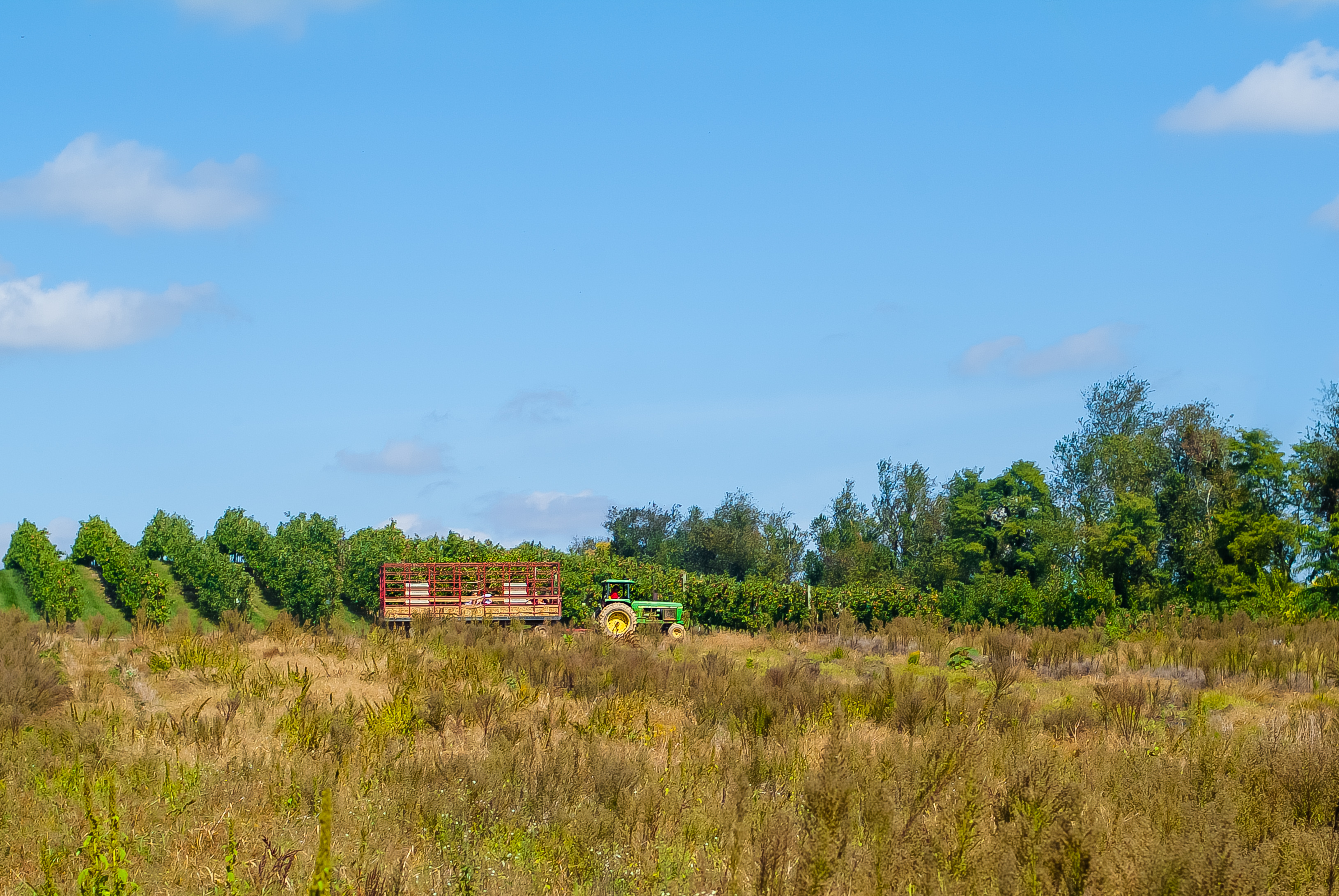
Baughers orchard, westminster md.

"return to skull mountain"

Mars, Luna, & Orion over Boog Rd. 2

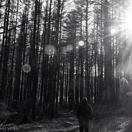
Trail Through The Woods [07.26.12]

Mars, Luna, & Orion over Boog Rd. 1
Topographic Map of 31 N Tannery Rd, Westminster, MD, USA
Find elevation by address:

Places near 31 N Tannery Rd, Westminster, MD, USA:
Oneta Dr, Westminster, MD, USA
Leisters Church Rd, Westminster, MD, USA
Old Manchester Rd, Westminster, MD, USA
713 Redwood Dr
Laurier Dr, Westminster, MD, USA
1516 Manchester Rd
1520 Manchester Rd
1572 Manchester Rd
Old Road
465 E Green St
685 Geneva Dr
Anita Dr, Westminster, MD, USA
715 N Gorsuch Rd
316 E Green St
240 E Green St
7, Westminster
Neudecker Rd, Westminster, MD, USA
Carrollton Rd, Westminster, MD, USA
Gablehammer Rd, Westminster, MD, USA
1990 Carrollton Rd
Recent Searches:
- Elevation of Corso Fratelli Cairoli, 35, Macerata MC, Italy
- Elevation of Tallevast Rd, Sarasota, FL, USA
- Elevation of 4th St E, Sonoma, CA, USA
- Elevation of Black Hollow Rd, Pennsdale, PA, USA
- Elevation of Oakland Ave, Williamsport, PA, USA
- Elevation of Pedrógão Grande, Portugal
- Elevation of Klee Dr, Martinsburg, WV, USA
- Elevation of Via Roma, Pieranica CR, Italy
- Elevation of Tavkvetili Mountain, Georgia
- Elevation of Hartfords Bluff Cir, Mt Pleasant, SC, USA