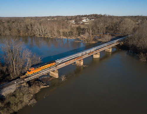
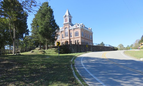
Elevation of 30 Lawrence Rd S, Black Rock, AR, USA
Location: United States > Arkansas > Lawrence County >
Longitude: -91.135801
Latitude: 36.1440634
Elevation: 92m / 302feet
Barometric Pressure: 100KPa
Related Photos:
Topographic Map of 30 Lawrence Rd S, Black Rock, AR, USA
Find elevation by address:

Places near 30 Lawrence Rd S, Black Rock, AR, USA:
AR-25, Powhatan, AR, USA
Powhatan
Imboden
Lawrence Road 261
Dent Township
257 Lawrence Rd 201
Black River Township
E Front St, Portia, AR, USA
Law, Hoxie, AR, USA
US-62, Imboden, AR, USA
Annieville
AR-, Imboden, AR, USA
Rogers Rd, Pocahontas, AR, USA
Annieville Township
West Roanoke Township
Richwoods Township
Law, Walnut Ridge, AR, USA
Lawrence County
Wilson Lake Rd, Pocahontas, AR, USA
Lawrence Township
Recent Searches:
- Elevation of Corso Fratelli Cairoli, 35, Macerata MC, Italy
- Elevation of Tallevast Rd, Sarasota, FL, USA
- Elevation of 4th St E, Sonoma, CA, USA
- Elevation of Black Hollow Rd, Pennsdale, PA, USA
- Elevation of Oakland Ave, Williamsport, PA, USA
- Elevation of Pedrógão Grande, Portugal
- Elevation of Klee Dr, Martinsburg, WV, USA
- Elevation of Via Roma, Pieranica CR, Italy
- Elevation of Tavkvetili Mountain, Georgia
- Elevation of Hartfords Bluff Cir, Mt Pleasant, SC, USA
