Elevation of 30 Bungalow Hill Rd, Colac Bay, New Zealand
| Latitude | -46.3725683 |
|---|---|
| Longitude | 167.8734799 |
| Elevation | 21m / 69feet |
| Barometric Pressure | 1011KPa |
Related Photos:

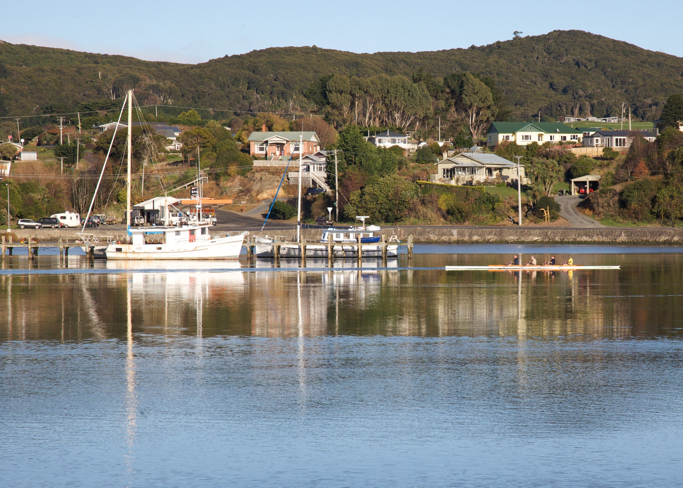
Jacobs Estuary (Riverton)
Te Waewae Bay
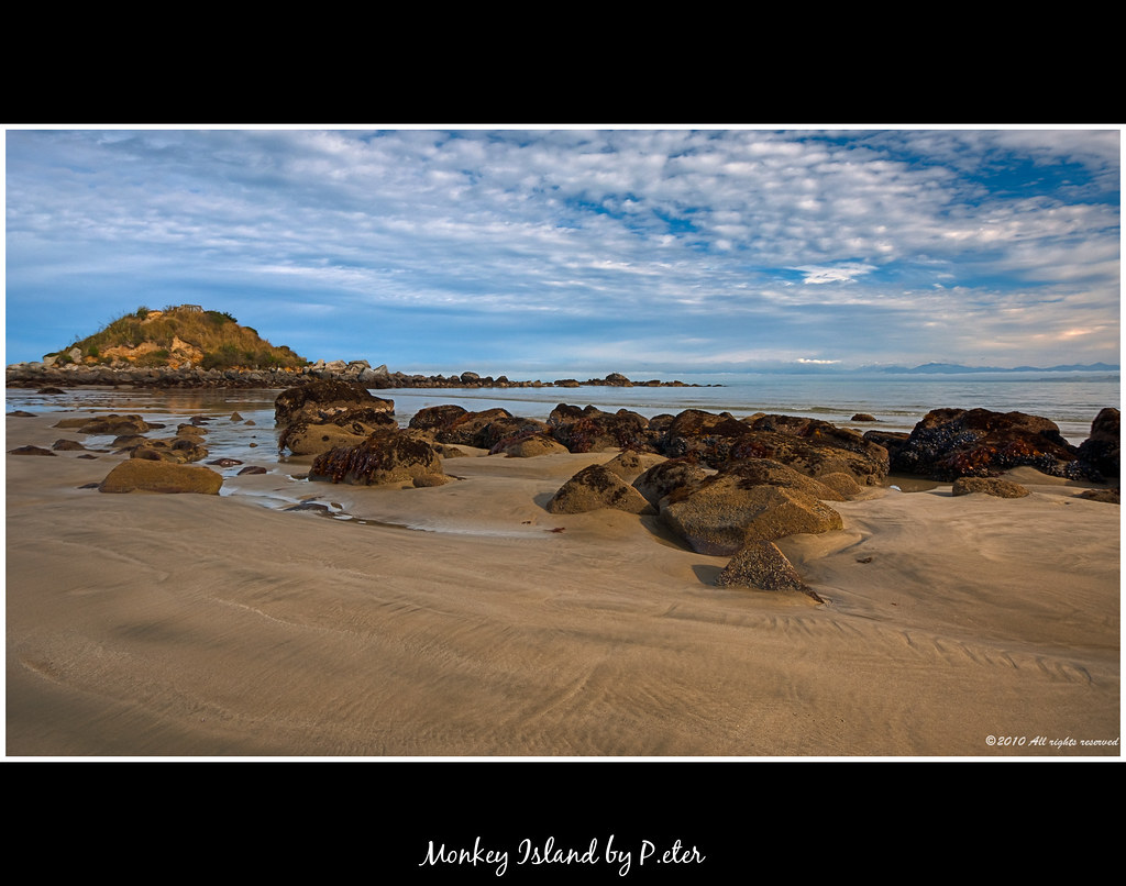
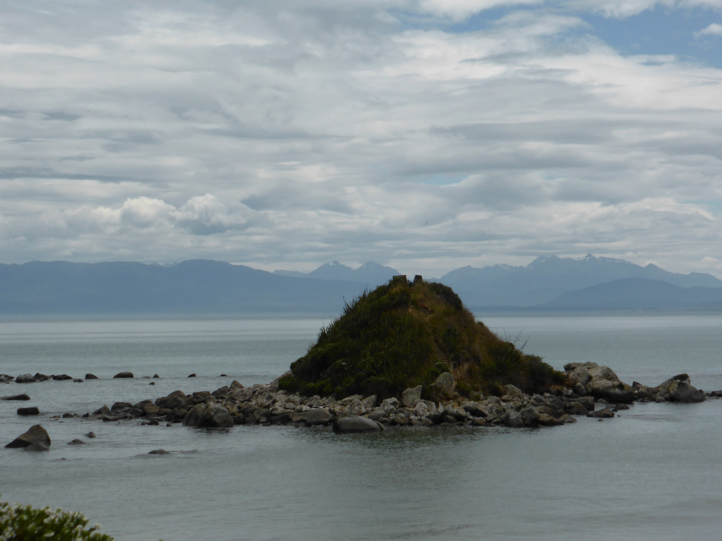
Monkey Island
The Lady Danced
View from Rocks Hwy, Riverton
IMG_2263 - Version 2

Due West Of Howells Point, Riverton
Stewart Island, New Zealand

A View From Riverton
IMG_2272 - Version 2
Riverton.
IMG_2264 - Version 2
IMG_2279 - Version 2

9_Riverton_Views 009 - detail
Bridge 18 Tuatapere Branch.
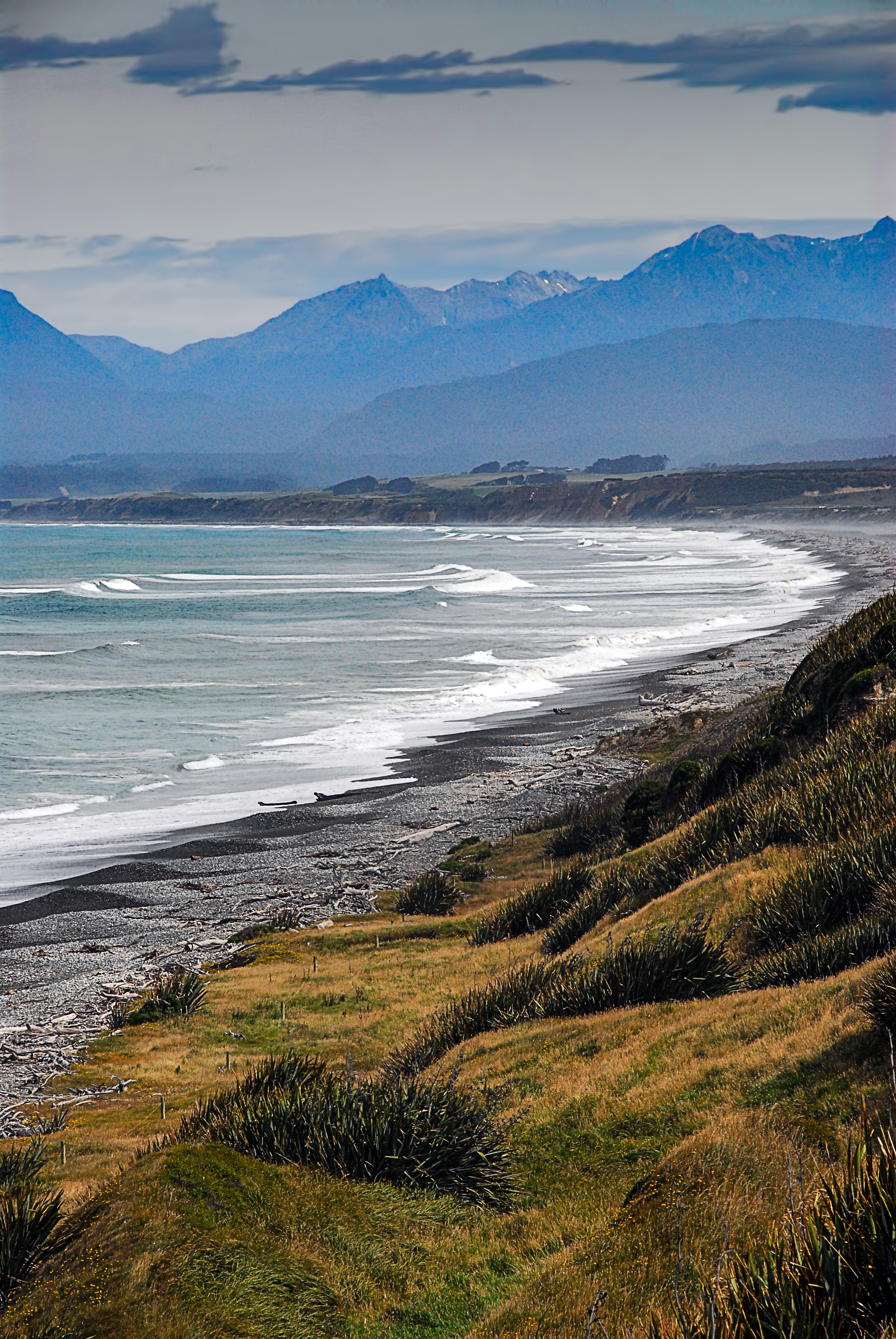
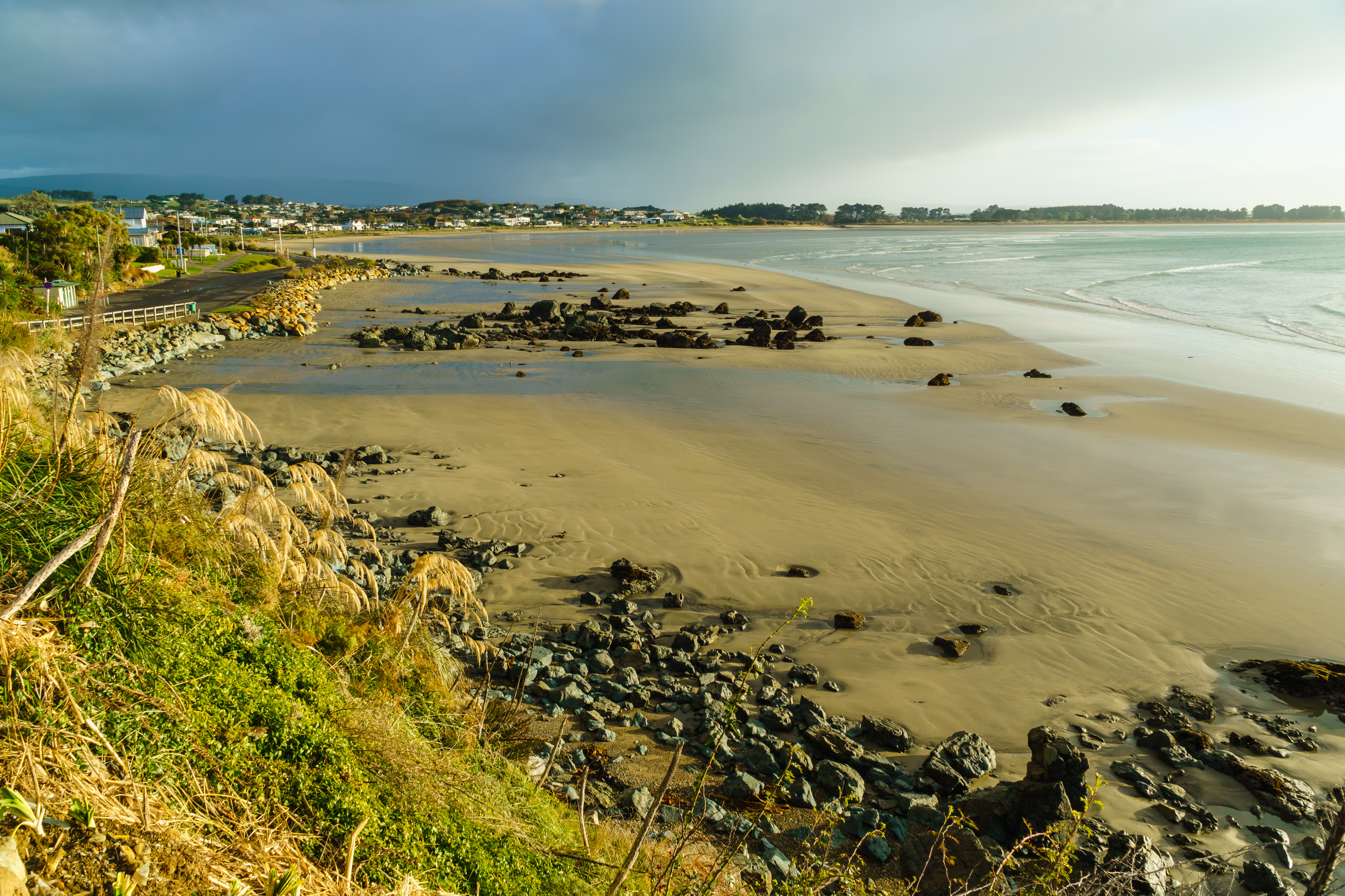
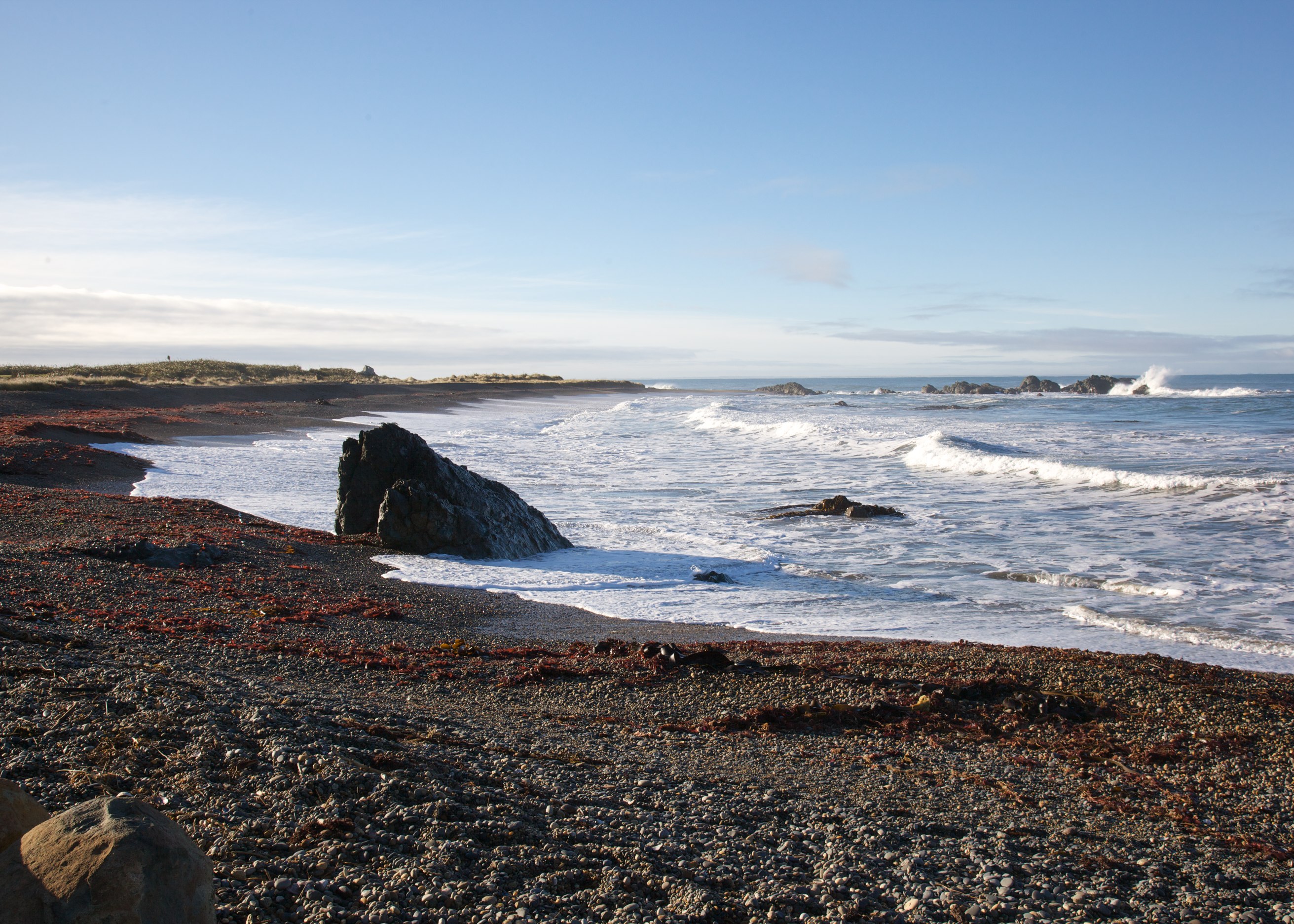
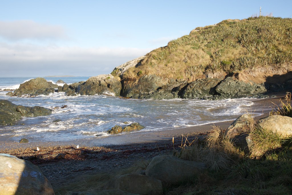
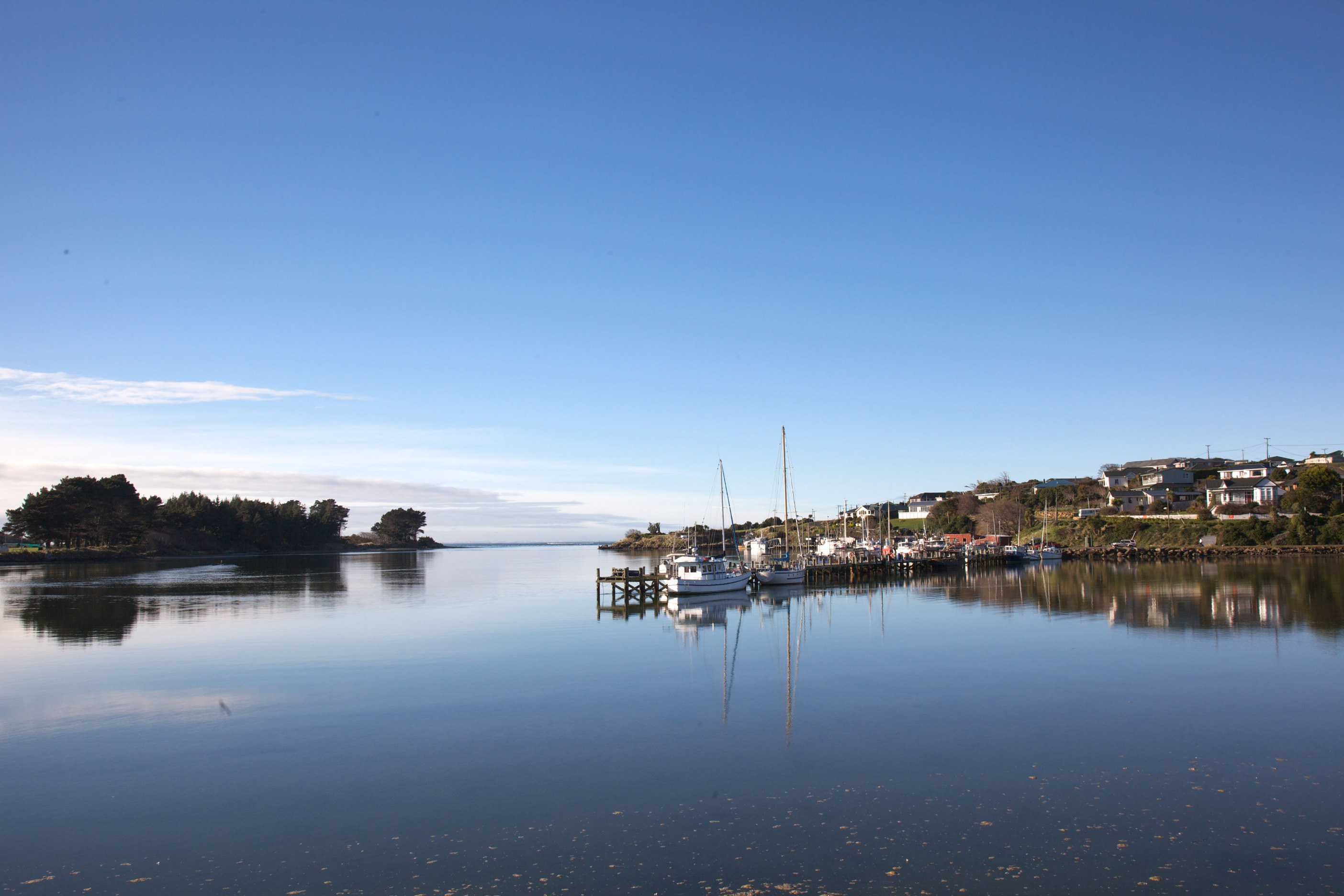
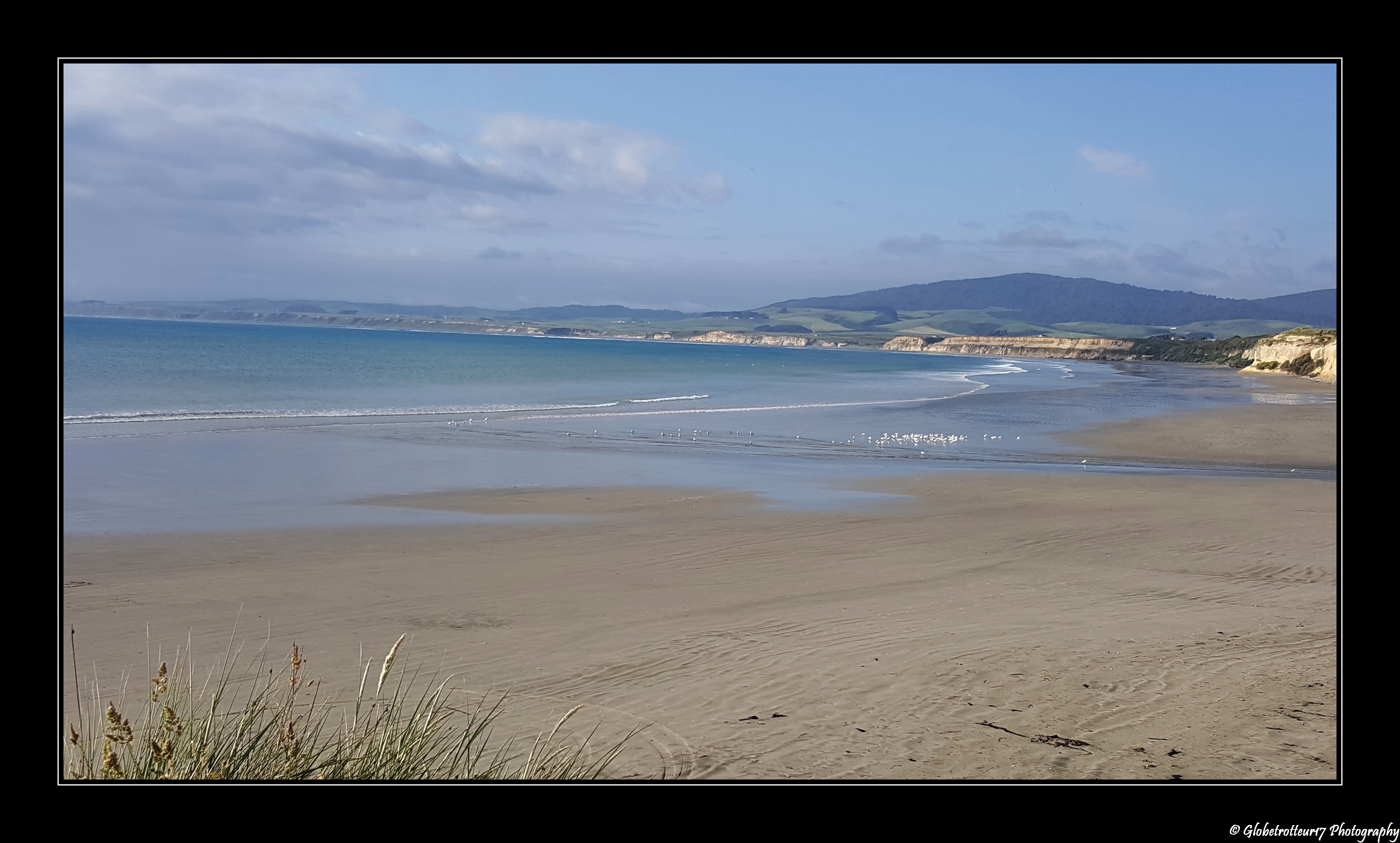
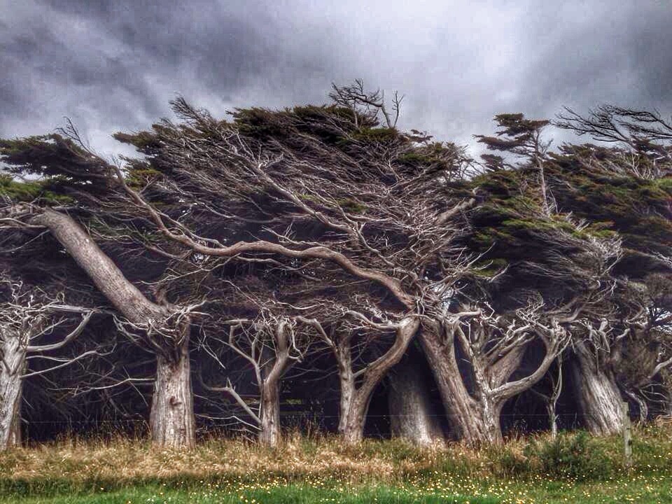
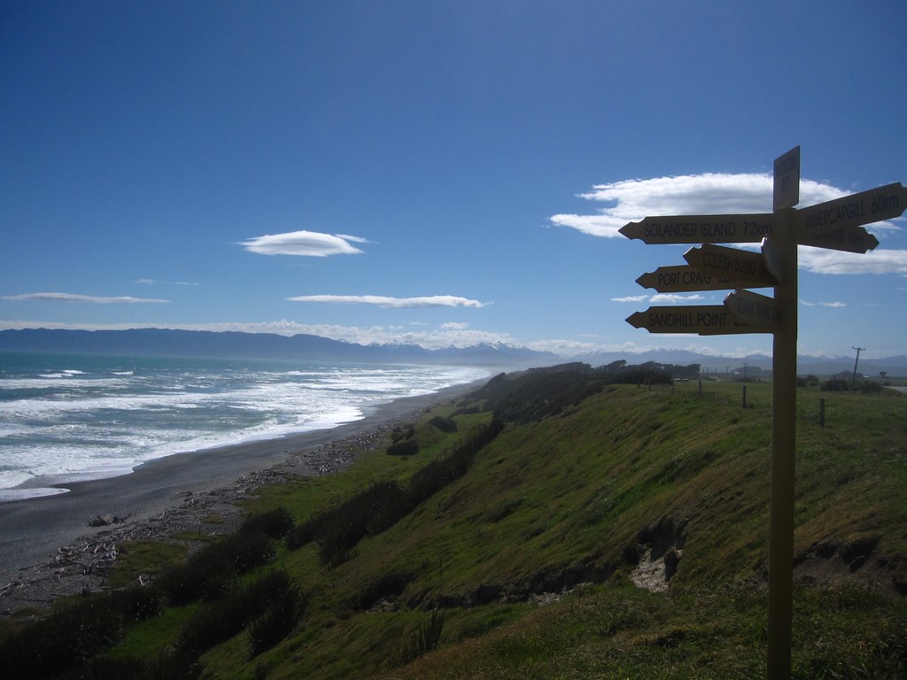
Colac Bay.

South Pacific

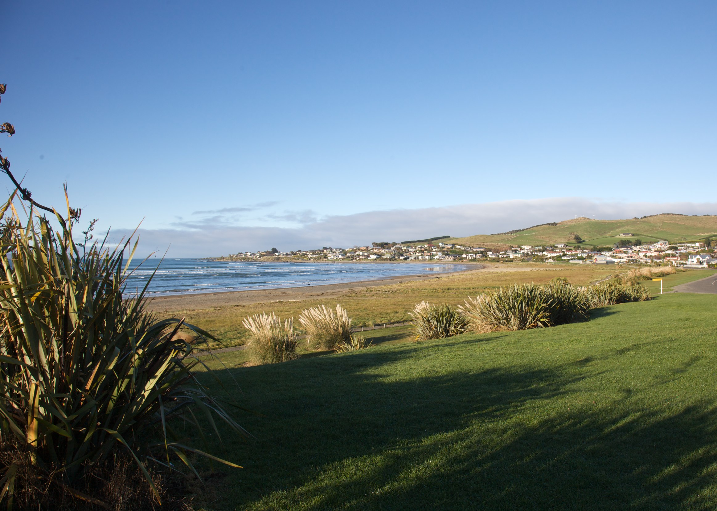
Colac Bay
IMG_2278 - Version 2
IMG_2267 - Version 2
DSC05676-IMG_0098
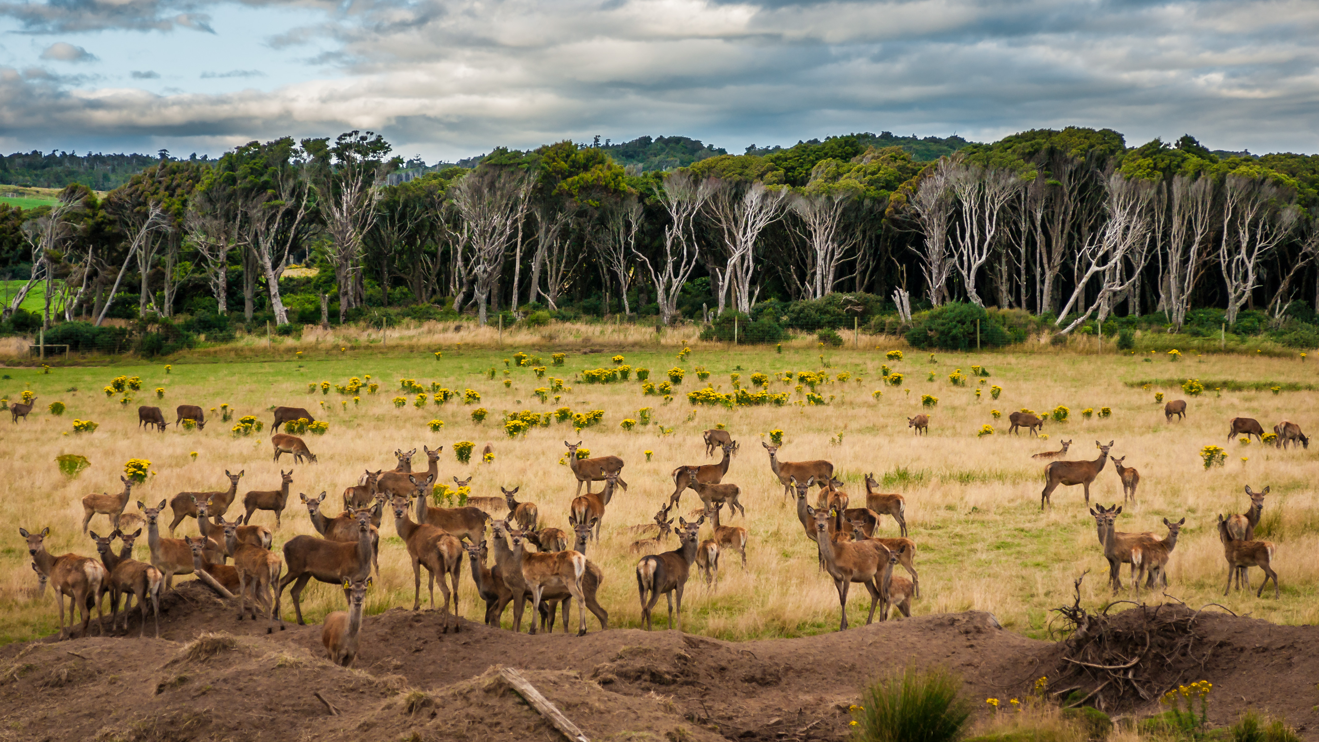
Deer near Lake George
Une série sur notre "Road Trip" en Nouvelle-Zélande- Orepuki- Nouvelle- Zélande.

Monkey Island
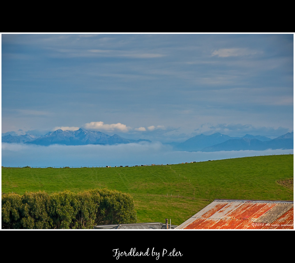
Fjordland zoom

8_Colac_Bay 011

Plantago triandra (Cosy Nook) (1)

Old house, Round Hill, Southland, New Zealand

Monkey Island

6_Gemstone_Beach 007
TeAnau to Invercargill 25Dec2014
TeAnau to Invercargill 25Dec2014

TeAnau to Invercargill 25Dec2014
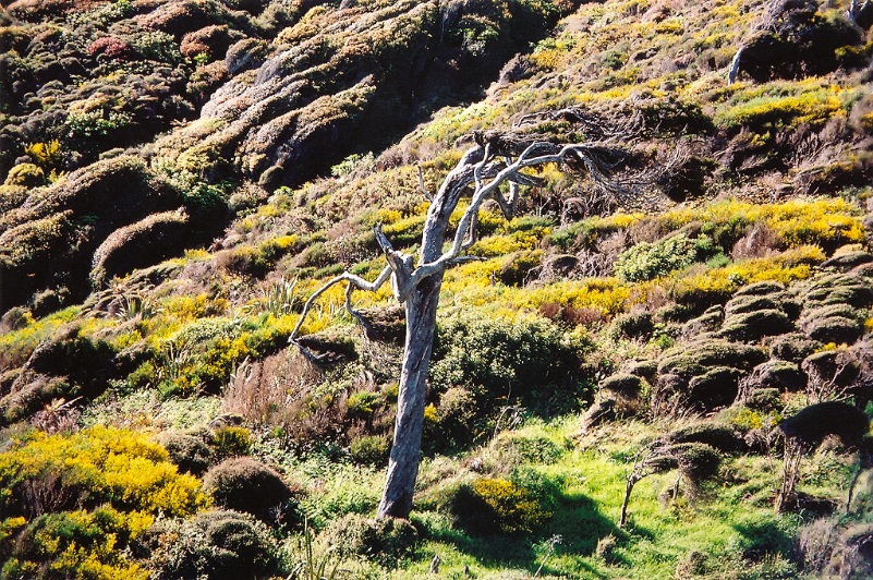
Windy Tree
An old house was here, Orepuki, Southland, New Zealand
Riverton, New Zealand
TeAnau to Invercargill 25Dec2014

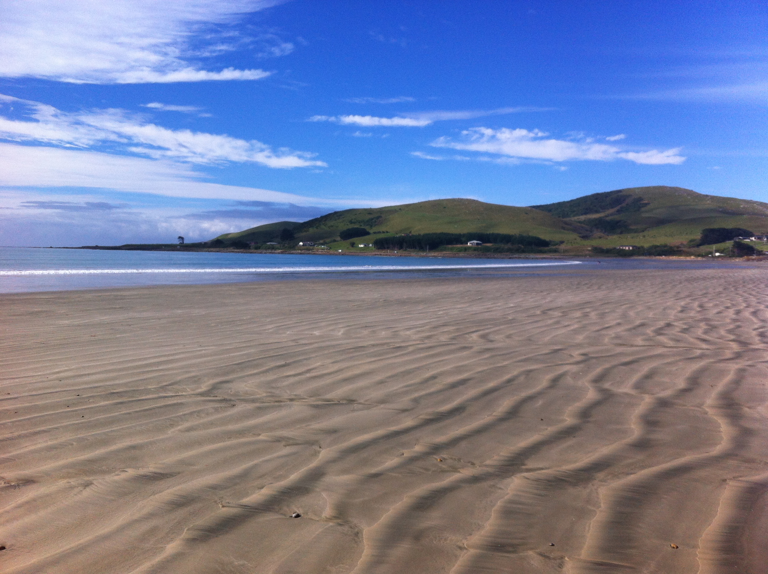
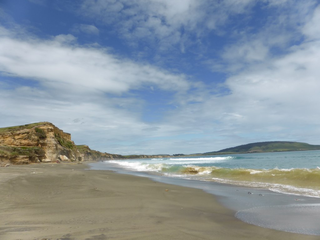
Taramea beach
NZ - 2009-11 - South Island Roadtrip-177
Topographic Map of 30 Bungalow Hill Rd, Colac Bay, New Zealand
Find elevation by address:
Places near 30 Bungalow Hill Rd, Colac Bay, New Zealand:
48 Bungalow Hill Rd
Colac Foreshore Road
Colac Bay
Pahia
125 Church Street
2 Milton St
27a James St
21 Marne St
16a William St
Riverton
14 Morton St
82 Walker St
25 Towack St
89 Palmerston St
81 Palmerston St
74 Havelock St
43 Bath Rd
17 Palmerston St
Orepuki
51 Stafford St
Recent Searches:
- Elevation of 104, Chancery Road, Middletown Township, Bucks County, Pennsylvania, 19047, USA
- Elevation of 1212, Cypress Lane, Dayton, Liberty County, Texas, 77535, USA
- Elevation map of Central Hungary, Hungary
- Elevation map of Pest, Central Hungary, Hungary
- Elevation of Pilisszentkereszt, Pest, Central Hungary, Hungary
- Elevation of Dharamkot Tahsil, Punjab, India
- Elevation of Bhinder Khurd, Dharamkot Tahsil, Punjab, India
- Elevation of 2881, Chabot Drive, San Bruno, San Mateo County, California, 94066, USA
- Elevation of 10370, West 107th Circle, Westminster, Jefferson County, Colorado, 80021, USA
- Elevation of 611, Roman Road, Old Ford, Bow, London, England, E3 2RW, United Kingdom
- Elevation of 116, Beartown Road, Underhill, Chittenden County, Vermont, 05489, USA
- Elevation of Window Rock, Colfax County, New Mexico, 87714, USA
- Elevation of 4807, Rosecroft Street, Kempsville Gardens, Virginia Beach, Virginia, 23464, USA
- Elevation map of Matawinie, Quebec, Canada
- Elevation of Sainte-Émélie-de-l'Énergie, Matawinie, Quebec, Canada
- Elevation of Rue du Pont, Sainte-Émélie-de-l'Énergie, Matawinie, Quebec, J0K2K0, Canada
- Elevation of 8, Rue de Bécancour, Blainville, Thérèse-De Blainville, Quebec, J7B1N2, Canada
- Elevation of Wilmot Court North, 163, University Avenue West, Northdale, Waterloo, Region of Waterloo, Ontario, N2L6B6, Canada
- Elevation map of Panamá Province, Panama
- Elevation of Balboa, Panamá Province, Panama