Elevation of 2nd St, Baldur, MB R0K 0B0, Canada
Location: Canada > Manitoba > Division No. 4 > Argyle > Baldur >
Longitude: -99.244474
Latitude: 49.3854781
Elevation: 428m / 1404feet
Barometric Pressure: 96KPa
Elevation Map:
Satellite Map:
Related Photos:
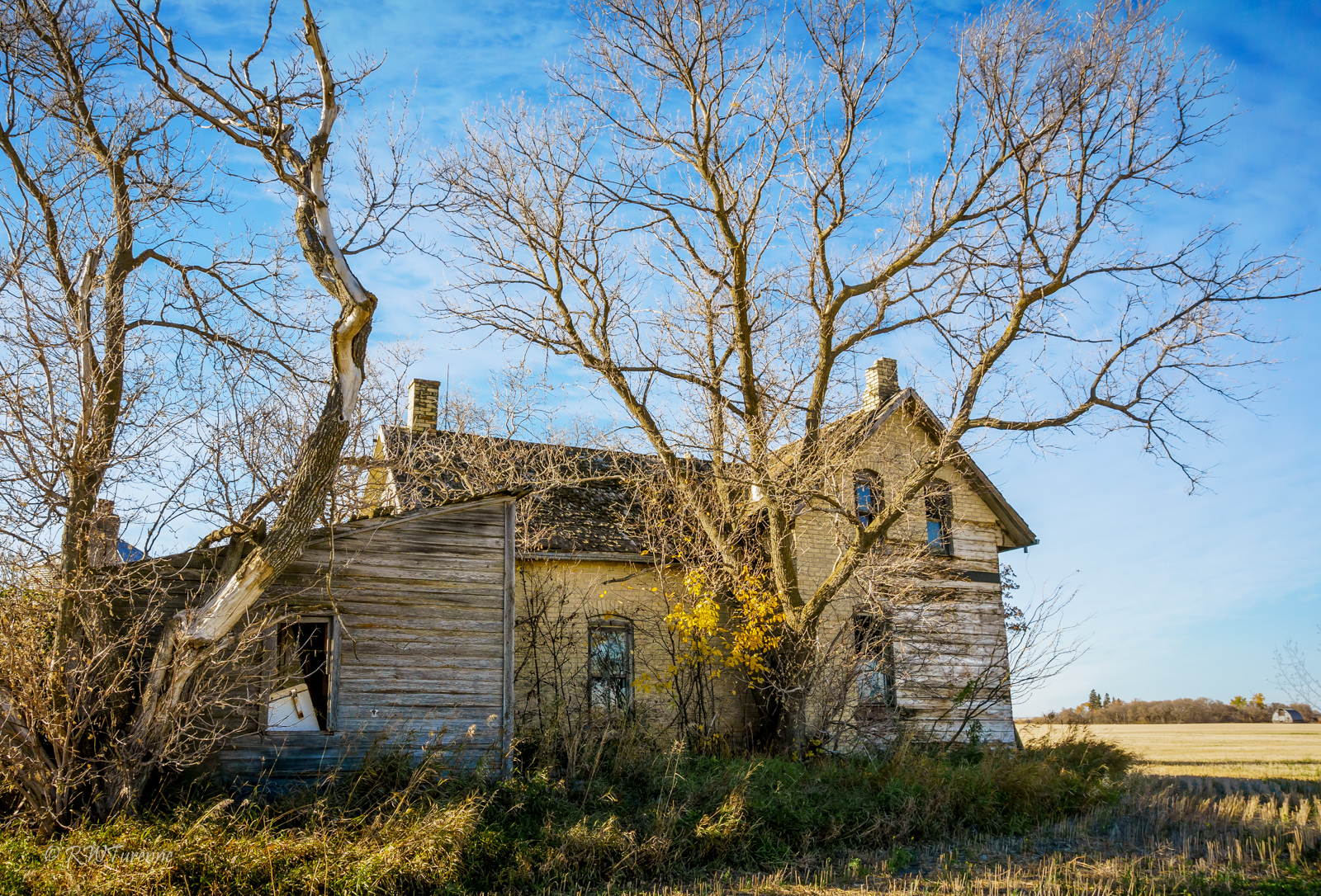
Yellow Brick House
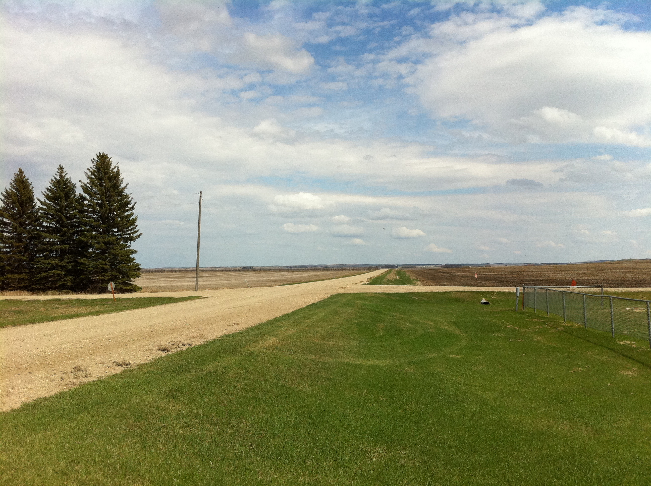
South of Cypress River Manitoba
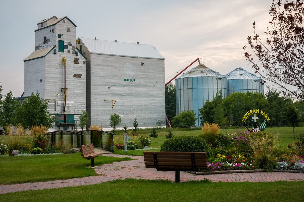
Veteran Park
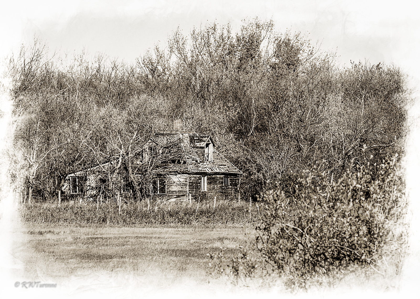
Fading into the Woodwork
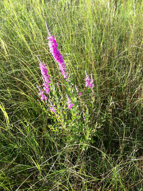
Purple loosestrife
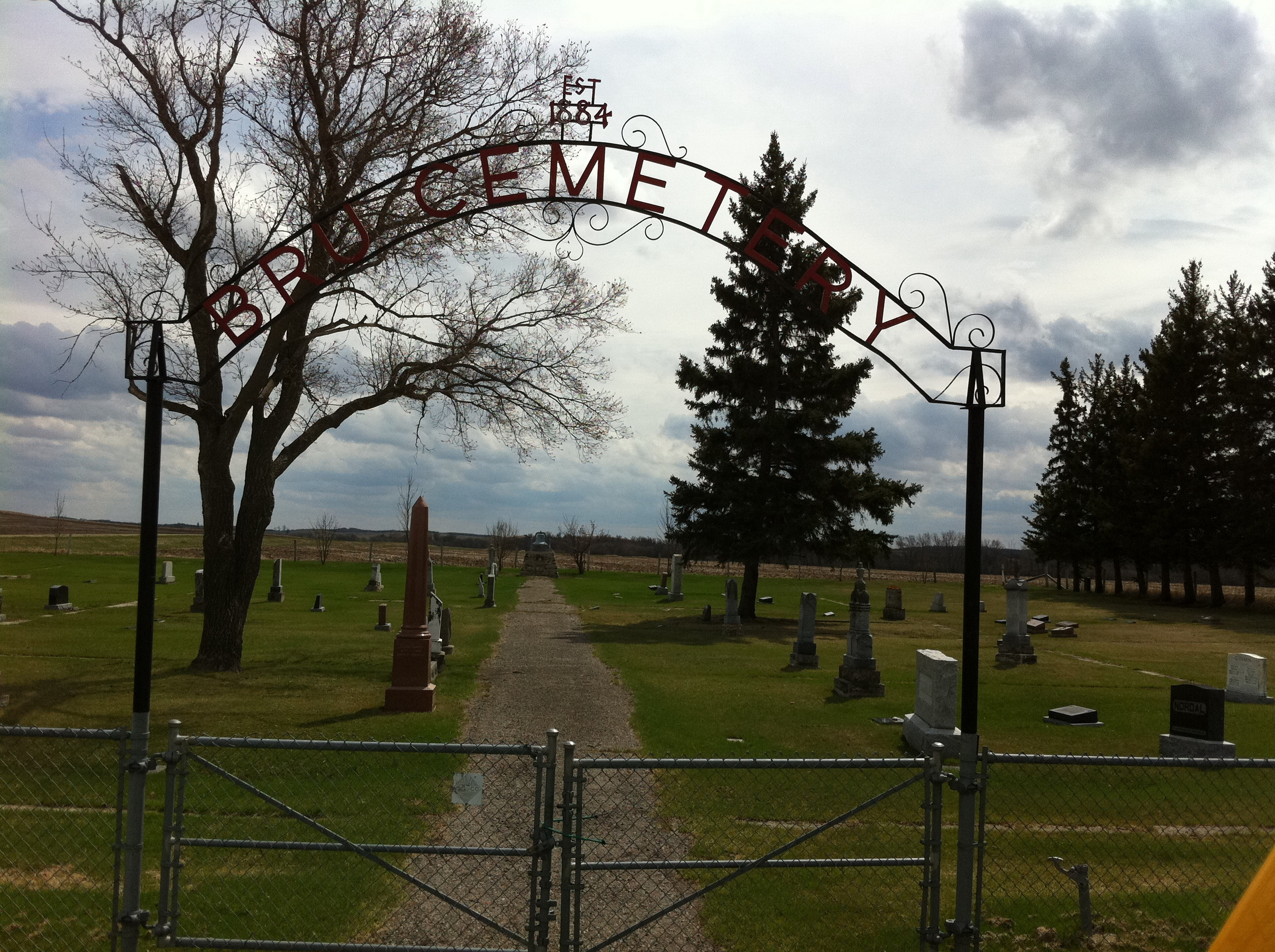
Bru Cemetery
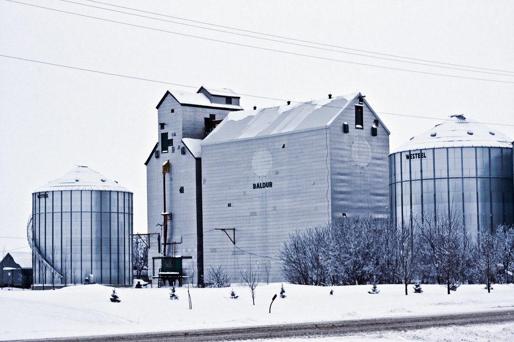
Baldur, Manitoba - Grain Elevator
Topographic Map of 2nd St, Baldur, MB R0K 0B0, Canada
Find elevation by address:

Places near 2nd St, Baldur, MB R0K 0B0, Canada:
Baldur
Argyle
Lyall St, Glenboro, MB R0K 0X0, Canada
Glenboro
411 Duncan St
Belmont
Stockton
South Cypress
Souris River
Treesbank
Norfolk St, Wawanesa, MB R0K 2G0, Canada
Wood Bay
Swan Lake
Road 70 West
Aweme
Lorne
MB-, Wawanesa, MB R0K 2G0, Canada
Shilo
Broadway St, La Rivière, MB R0G 1A0, Canada
La Rivière
Recent Searches:
- Elevation of Corso Fratelli Cairoli, 35, Macerata MC, Italy
- Elevation of Tallevast Rd, Sarasota, FL, USA
- Elevation of 4th St E, Sonoma, CA, USA
- Elevation of Black Hollow Rd, Pennsdale, PA, USA
- Elevation of Oakland Ave, Williamsport, PA, USA
- Elevation of Pedrógão Grande, Portugal
- Elevation of Klee Dr, Martinsburg, WV, USA
- Elevation of Via Roma, Pieranica CR, Italy
- Elevation of Tavkvetili Mountain, Georgia
- Elevation of Hartfords Bluff Cir, Mt Pleasant, SC, USA