Elevation of 2 Mountain View Dr, Oroville, WA, USA
Location: United States > Washington > Okanogan County > Oroville >
Longitude: -119.06863
Latitude: 48.9351253
Elevation: 1119m / 3671feet
Barometric Pressure: 89KPa
Elevation Map:
Satellite Map:
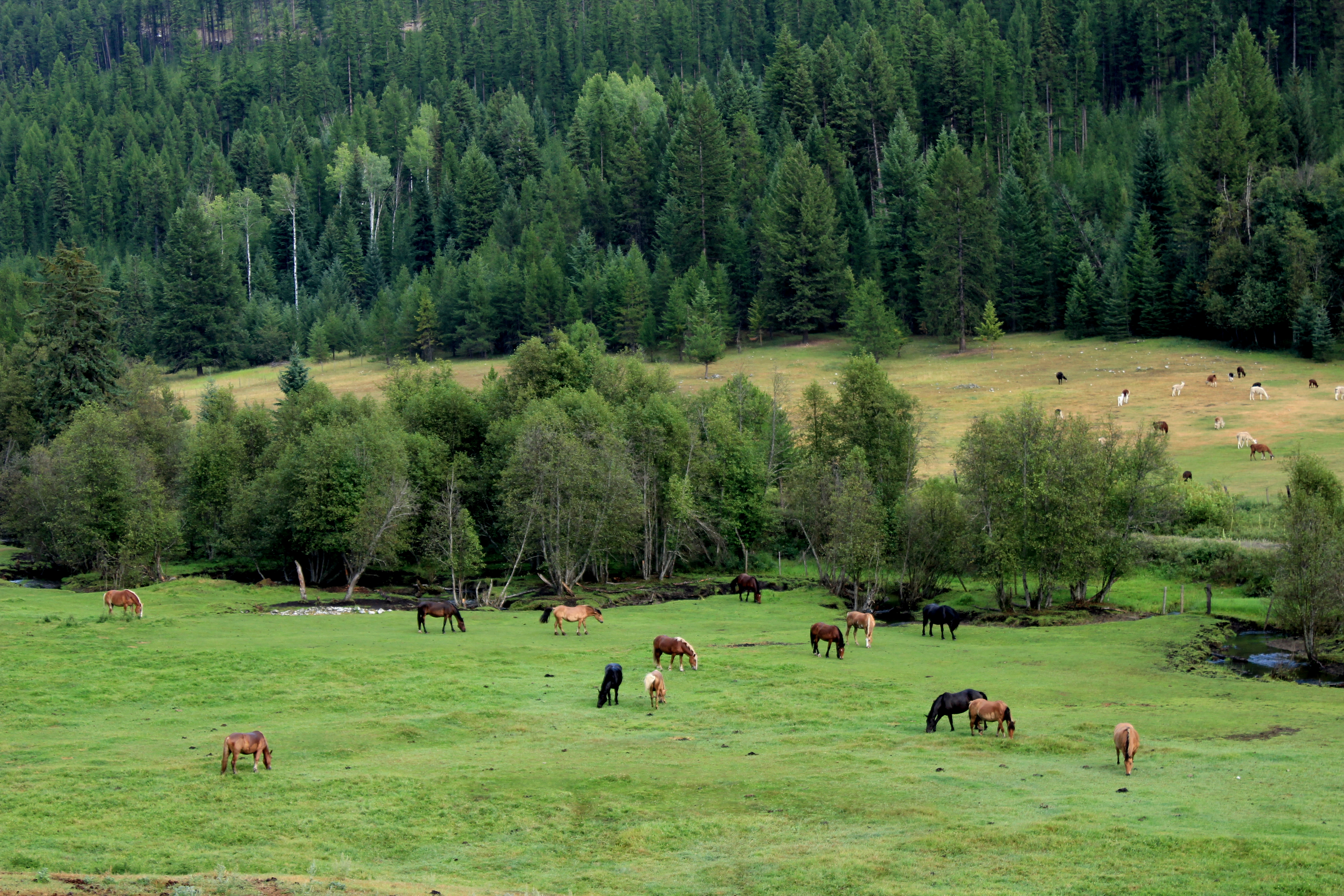
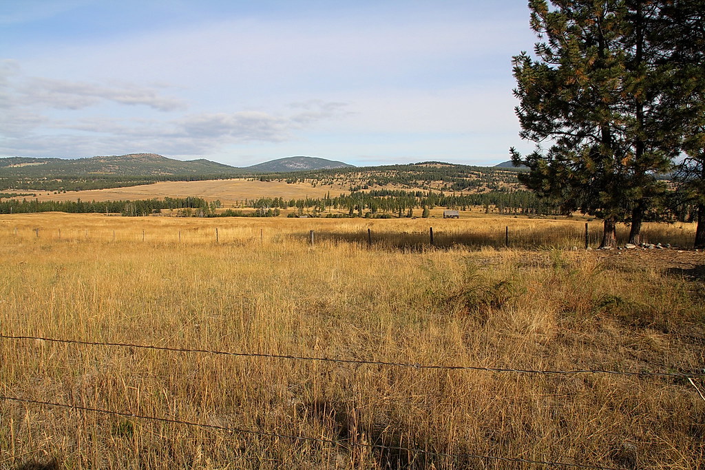
Related Photos:

Mountain Bluebird (Sialia currucoides)
View from my lunchspot today (part one)

View from my lunchspot today (part two)...
Those strange American customs

View from my lunchspot today...
Aug 09 114
Aug 09 112
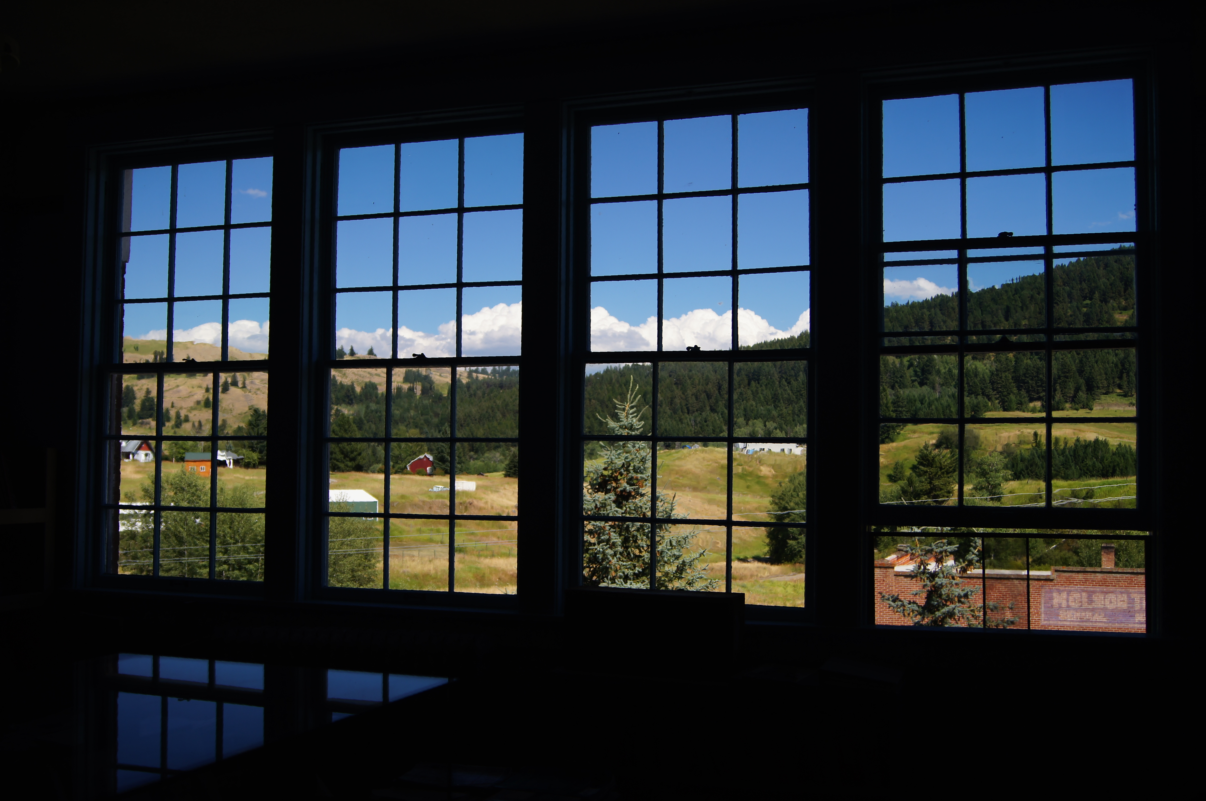
School room views

Aug 09 113
Aug 09 083

School room views

Gray-crowned Rosy-Finches (detail)

Okanogan Winter
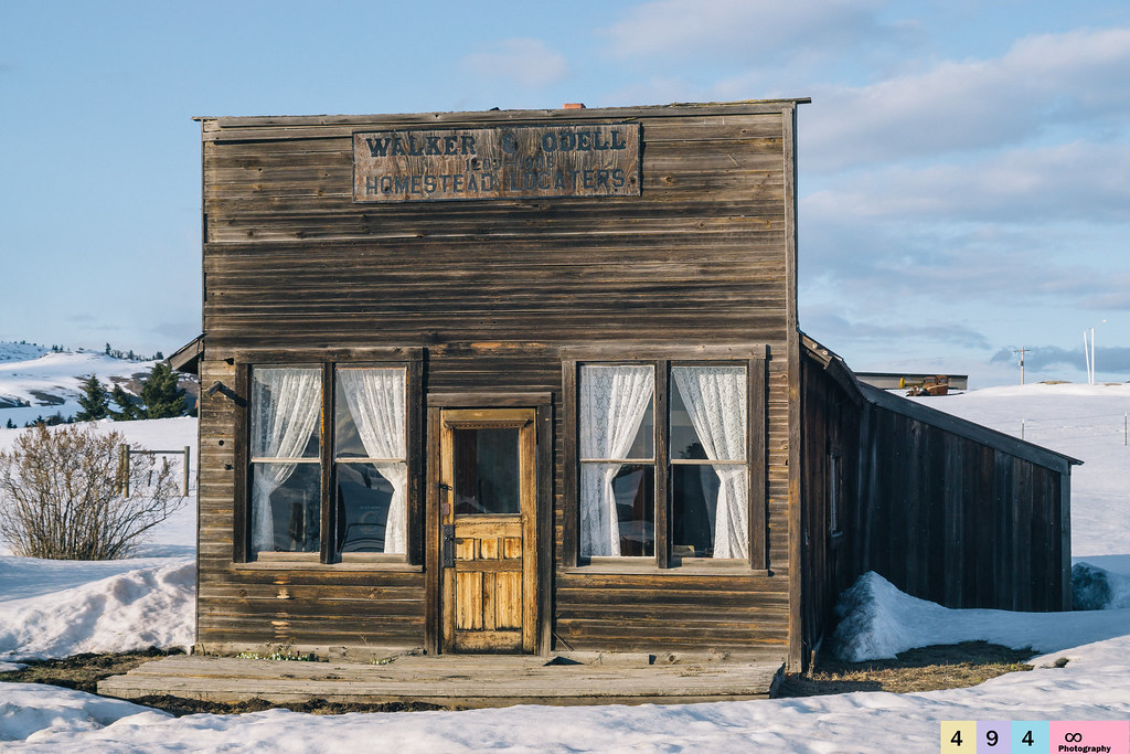
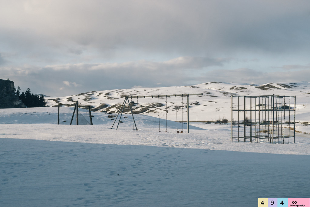
No Longer In Service

Snowed In For the Season
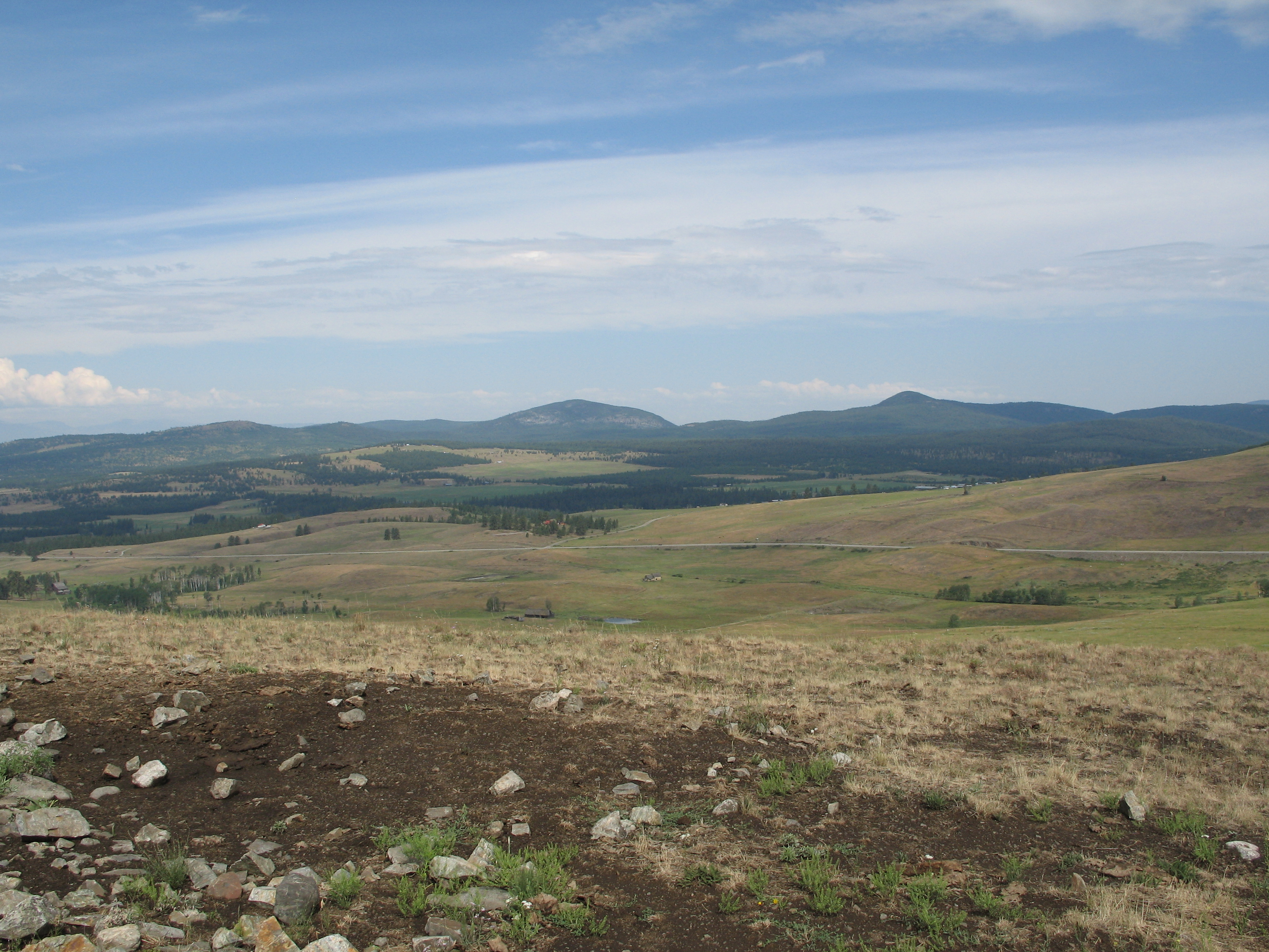
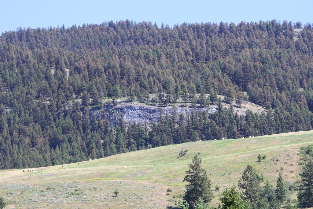
Grassy hills above Dry Gulch Road near Havillah, Washington

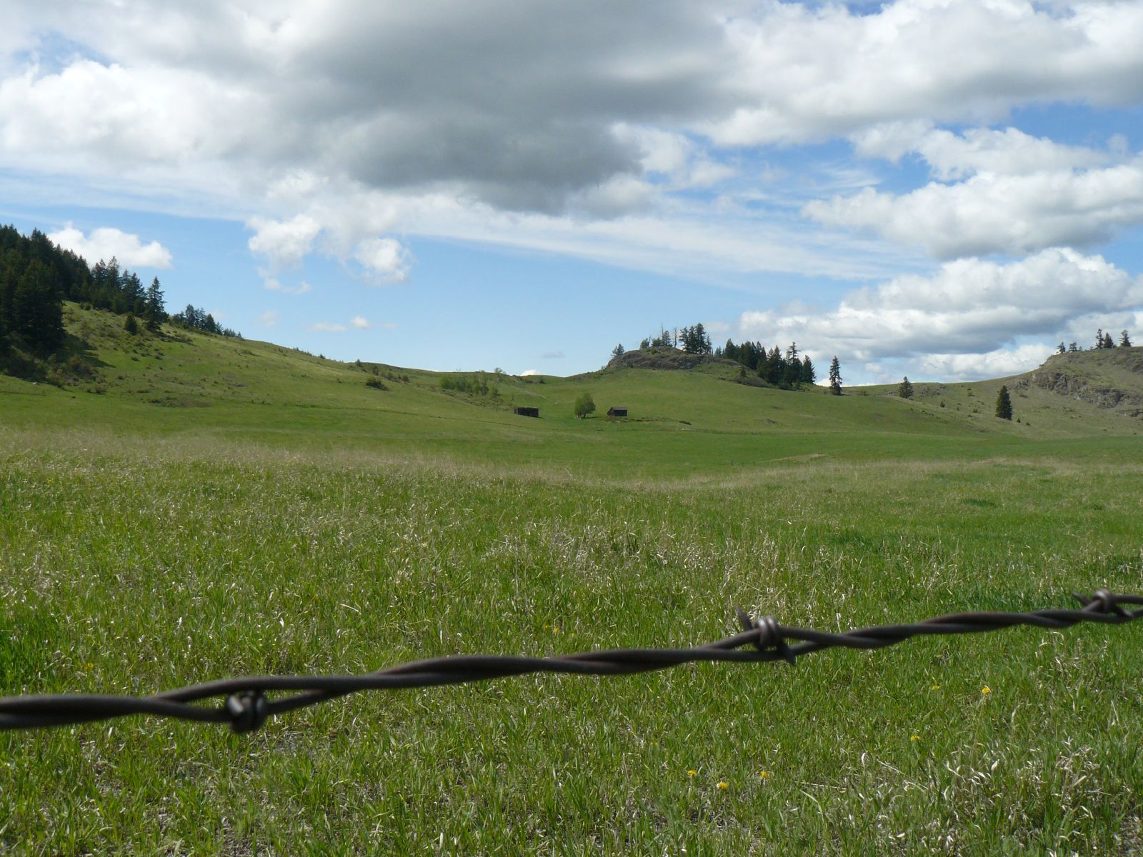
Fields of green.

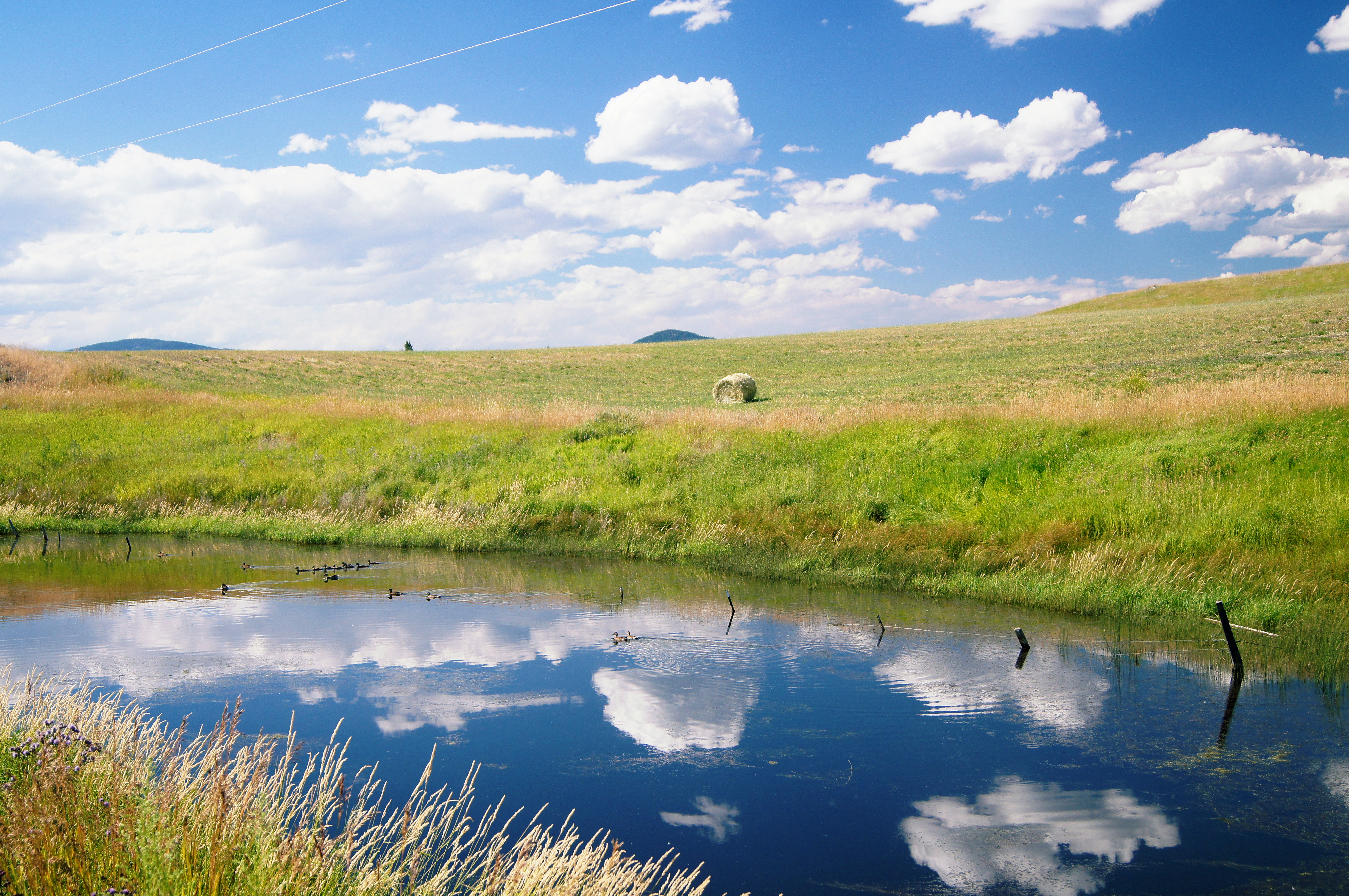
Beaver Pond
Okanogan high country
Reminiscing On Past Adolescent Experiences
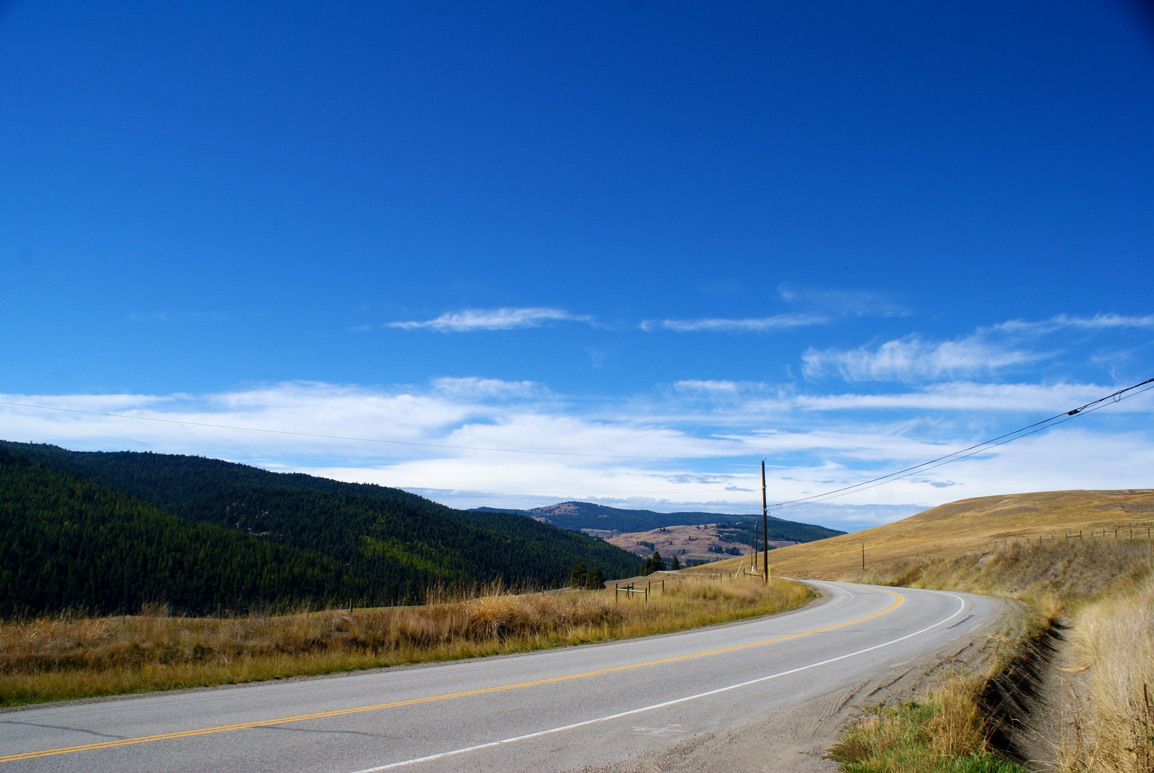
Beautiful Crowsnest Highway (Hwy-3) near Rock Creek, British Columbia, Canada
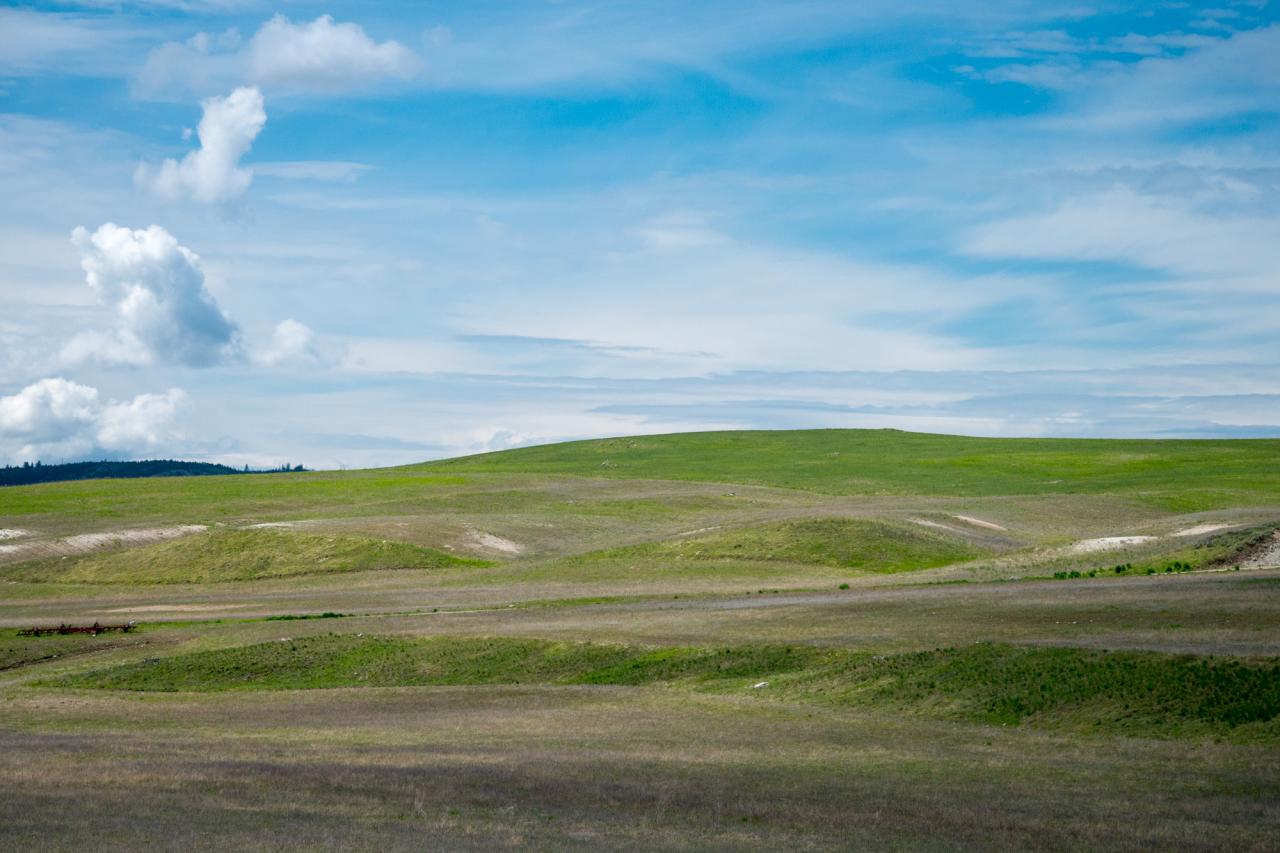
Rolling hills of Eastern Washington near Havillah
Idyllic scene along the Crowsnest Highway
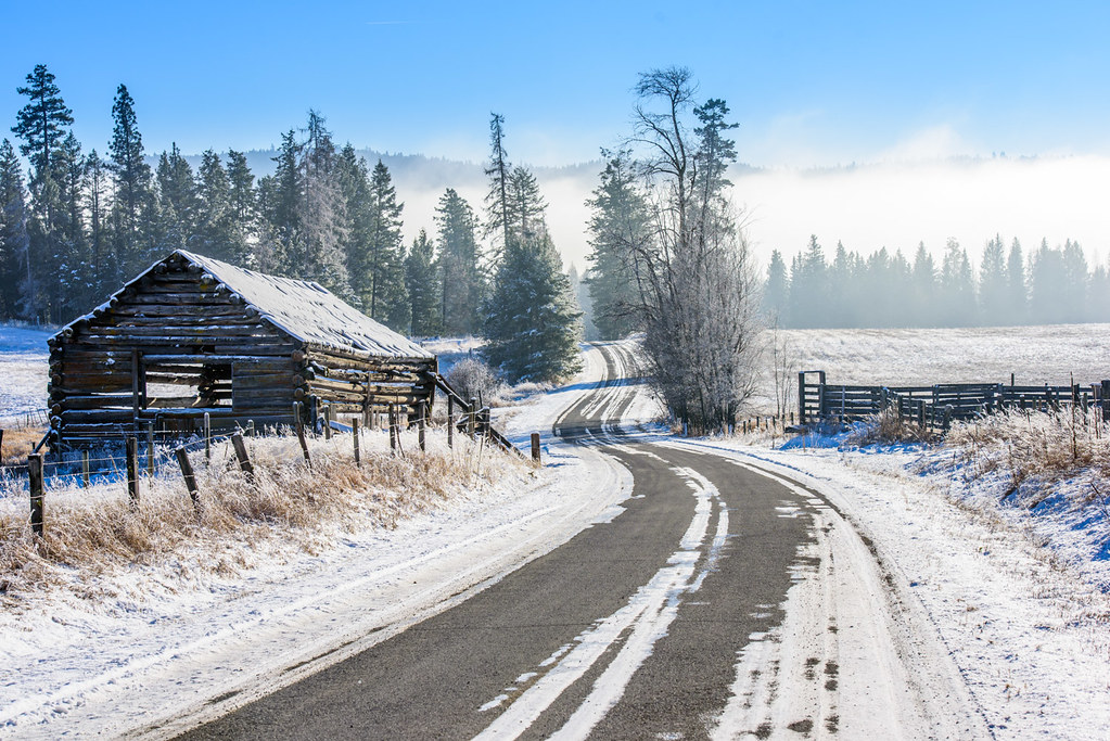
Old barn, country road

Okanagan Countryside
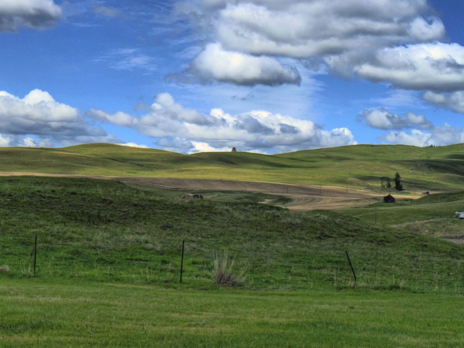
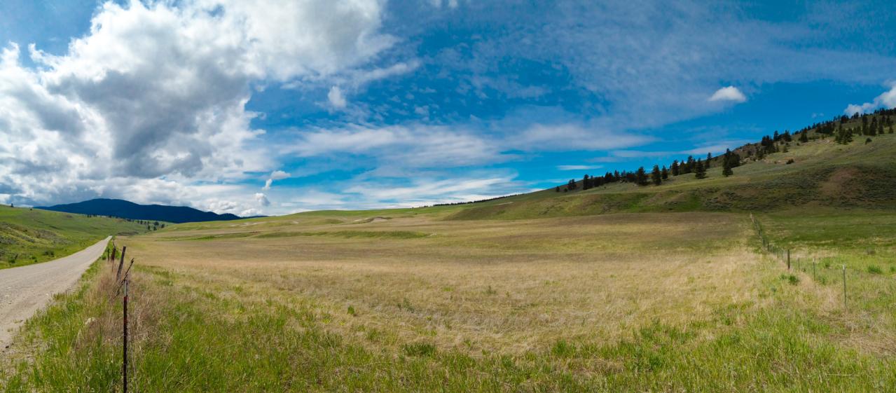
Open Country
United States - Canada Border

Yellow Headed Blackbird (Xanthocephalus Xanthocephalus)
Haufle Cousins Camping 2011 5981
Distant Houses
Topographic Map of 2 Mountain View Dr, Oroville, WA, USA
Find elevation by address:

Places near 2 Mountain View Dr, Oroville, WA, USA:
Chesaw
106 Turner Homestead Rd
40 Turner Homestead Rd
106 Bartroff Rd
Stage Coach Loop Road
48 Stage Coach Loop Rd
111 Gafvery Creek Rd
74 Gafvery Creek Rd
125 Wapato Rd
125 Wapato Rd
100 Wapato Rd
428 Nealey Rd
288 Hungry Hollow Rd
Buckhorn Mountain
168 Prior Loop Rd
Bridesville
5670 Bridesville Townsite Rd
Courtenay-brown Road
Kettle Valley Golf Club
Recent Searches:
- Elevation of Corso Fratelli Cairoli, 35, Macerata MC, Italy
- Elevation of Tallevast Rd, Sarasota, FL, USA
- Elevation of 4th St E, Sonoma, CA, USA
- Elevation of Black Hollow Rd, Pennsdale, PA, USA
- Elevation of Oakland Ave, Williamsport, PA, USA
- Elevation of Pedrógão Grande, Portugal
- Elevation of Klee Dr, Martinsburg, WV, USA
- Elevation of Via Roma, Pieranica CR, Italy
- Elevation of Tavkvetili Mountain, Georgia
- Elevation of Hartfords Bluff Cir, Mt Pleasant, SC, USA