Elevation of 29 E Adams Rd, Hesperia, MI, USA
Location: United States > Michigan > Newaygo County >
Longitude: -86.034066
Latitude: 43.574078
Elevation: 223m / 732feet
Barometric Pressure: 99KPa
Elevation Map:
Satellite Map:
Related Photos:

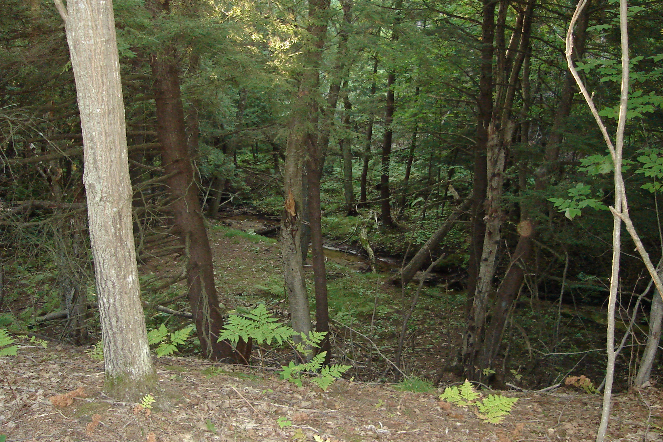
My breakfast view on the North Country Trail
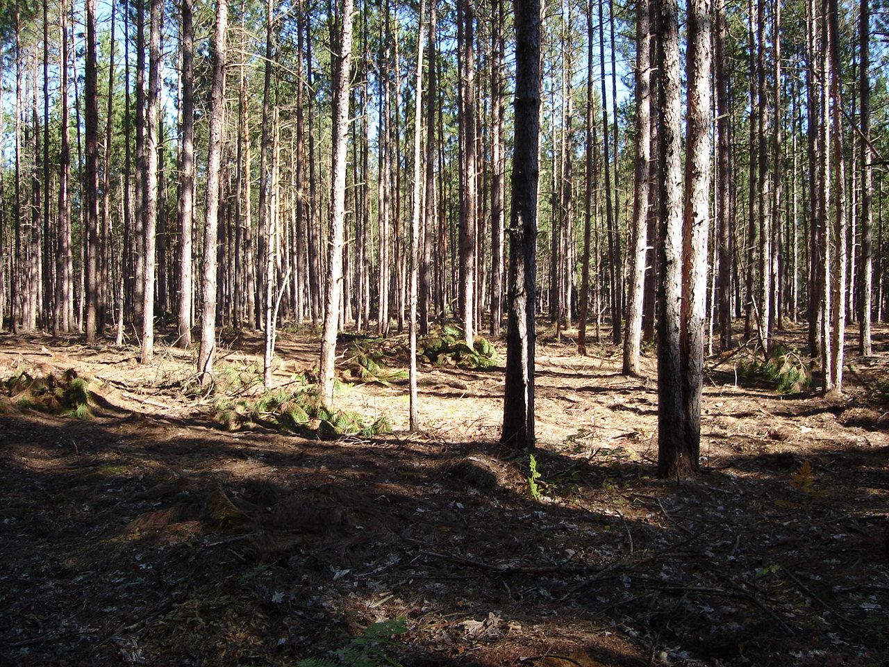
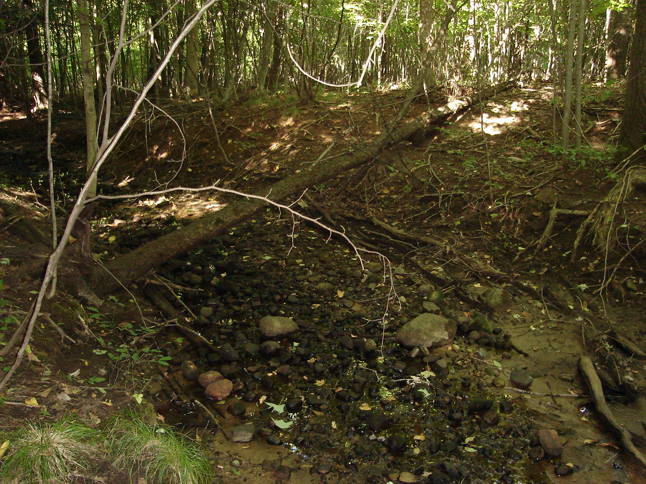
Labor Day Weekend 082

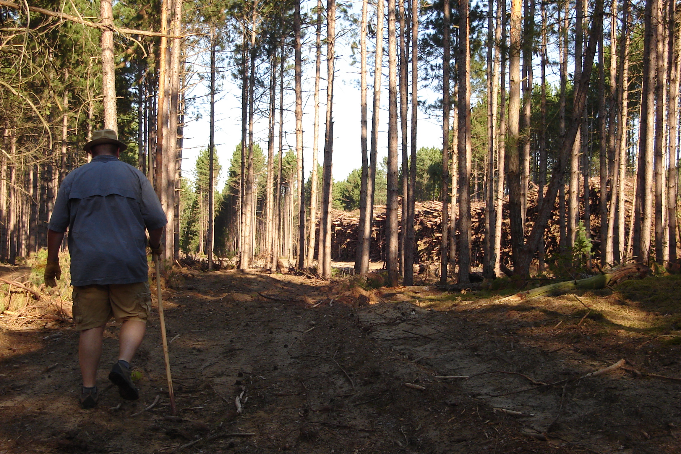
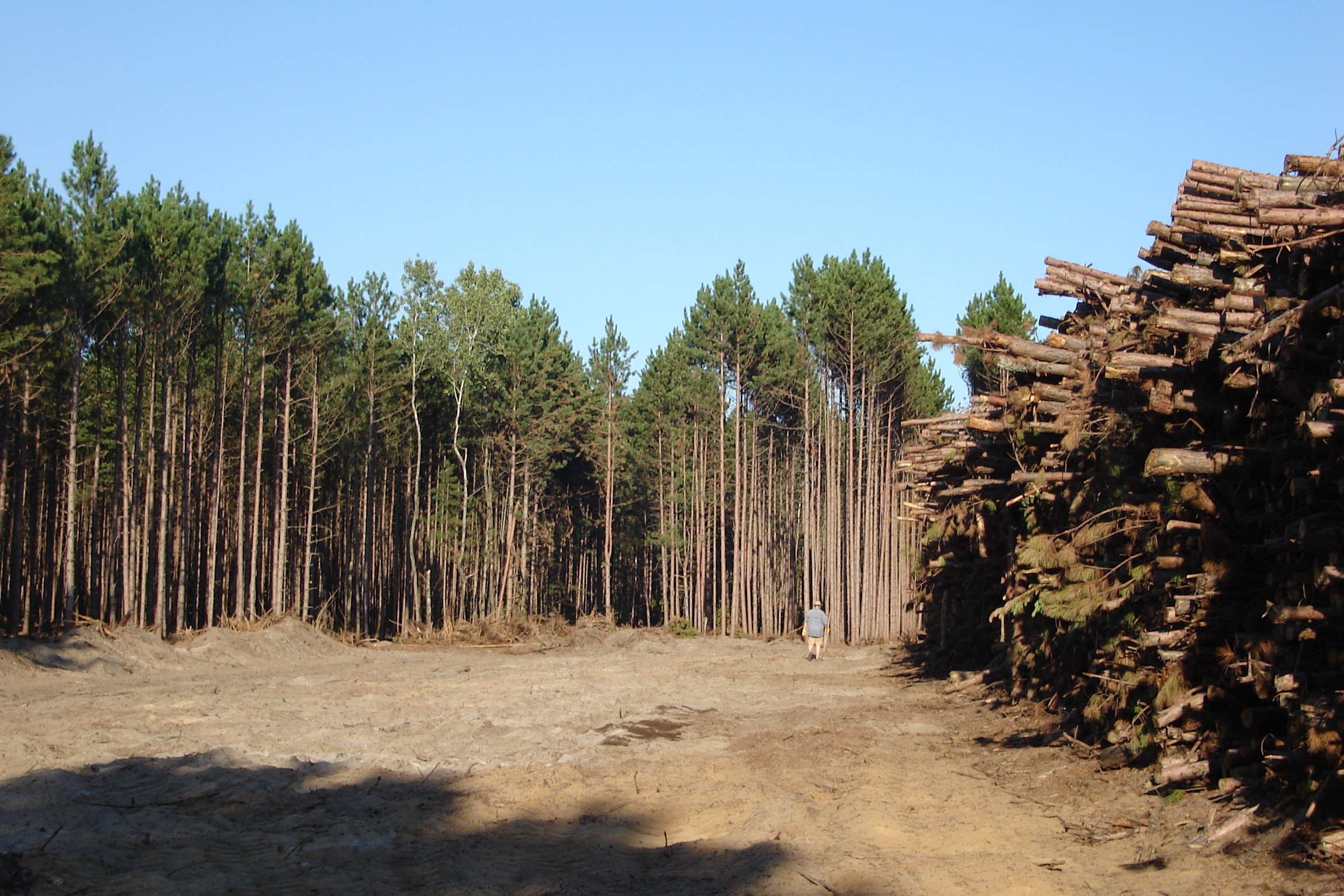
jhh-20090718-003
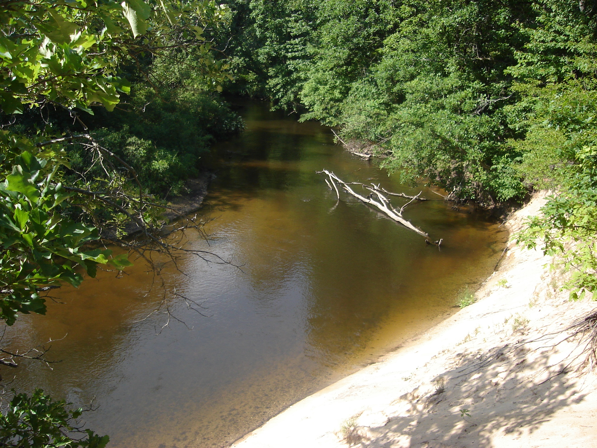
Labor Day Weekend 040
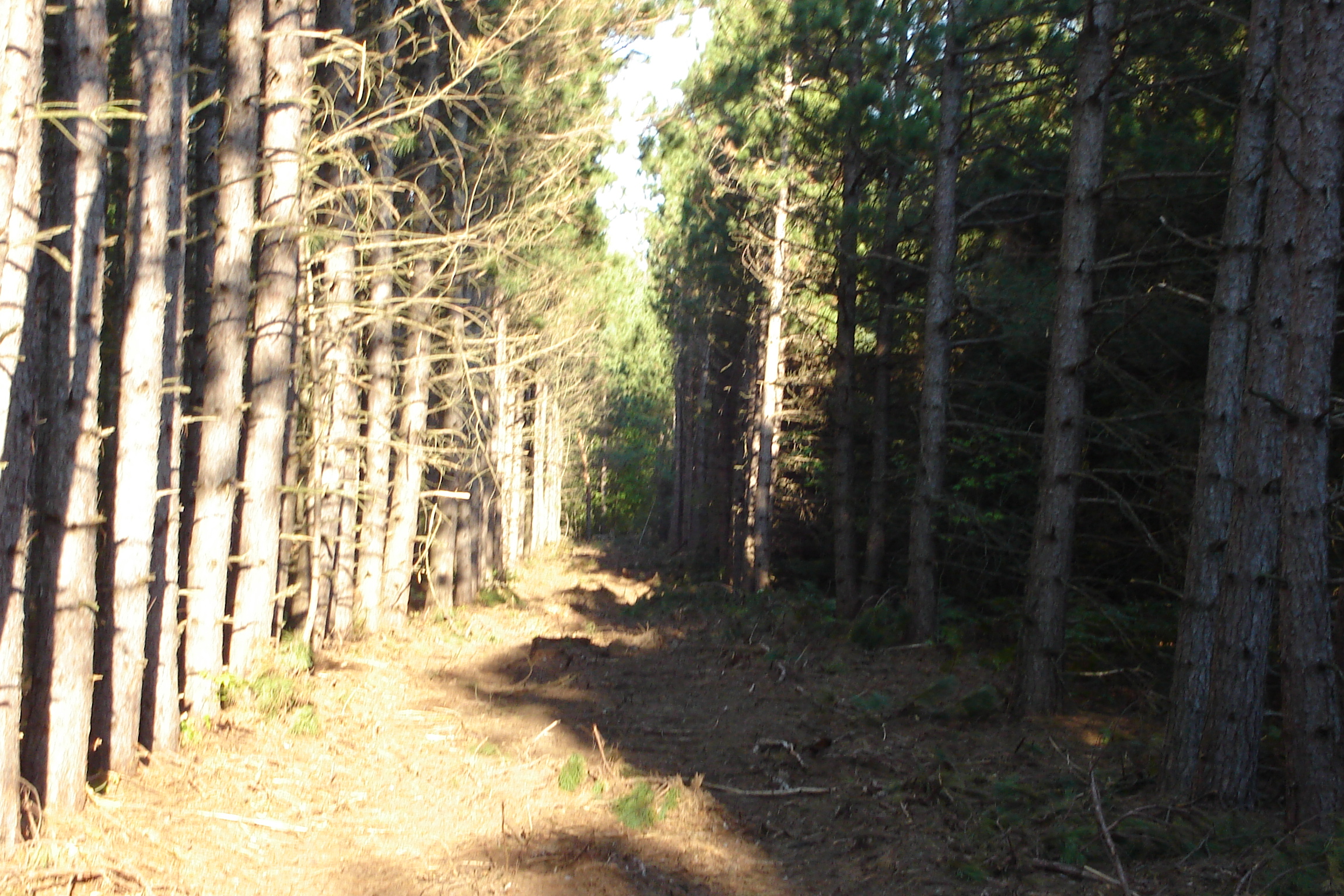
Labor Day Weekend 093
20year 001
Labor Day Weekend 045

Early Morning Lake Haze

Labor Day Weekend 041
Labor Day Weekend 019
Labor Day Weekend 018
20year 004
Labor Day Weekend 071
Labor Day Weekend 020
20year 019
Labor Day Weekend 050
Labor Day Weekend 065
Labor Day Weekend 011

jhh-20090718-005

Labor Day Weekend 061

Farm 1
Labor Day Weekend 027
Topographic Map of 29 E Adams Rd, Hesperia, MI, USA
Find elevation by address:

Places near 29 E Adams Rd, Hesperia, MI, USA:
Dayton Township
7325 E Wilke Rd
Greenwood Township
332 Birch St
Fremont
Holton Township
6048 Syers Rd
Holton
6049 Syers Rd
Holton Gun & Bow Club
2252 E Arthur Rd
2252 E Arthur Rd
Otto Township
W th St, Grant, MI, USA
5847 Staple Rd
Ashland Township
Newaygo
Newaygo High School
Grant Township
Muskegon County
Recent Searches:
- Elevation of Corso Fratelli Cairoli, 35, Macerata MC, Italy
- Elevation of Tallevast Rd, Sarasota, FL, USA
- Elevation of 4th St E, Sonoma, CA, USA
- Elevation of Black Hollow Rd, Pennsdale, PA, USA
- Elevation of Oakland Ave, Williamsport, PA, USA
- Elevation of Pedrógão Grande, Portugal
- Elevation of Klee Dr, Martinsburg, WV, USA
- Elevation of Via Roma, Pieranica CR, Italy
- Elevation of Tavkvetili Mountain, Georgia
- Elevation of Hartfords Bluff Cir, Mt Pleasant, SC, USA