Elevation of 28 Newburn Ct, Beaumont, CA, USA

Location: United States > California > Riverside County > Beaumont >

Longitude: -116.95929

Latitude: 33.9209191

Elevation: 786m / 2579feet

Barometric Pressure: 92KPa

Elevation Map:

elevation map of 28 Newburn Ct, Beaumont, CA, USA

Satellite Map:

Satellite map of 28 Newburn Ct, Beaumont, CA, USA

Related Photos:

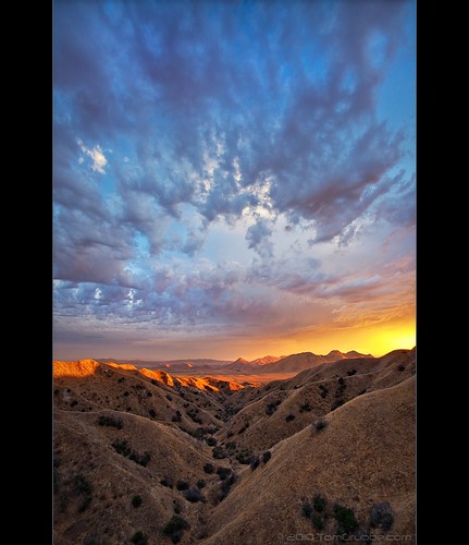
california autumn sunset sky storm fall clouds landscape countryside scenic hills valley morenovalley nortonyounglovereserve
Sunset Valley I
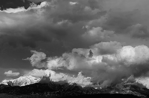
road longexposure snow mountains clouds landscape hills southerncalifornia banning inlandempire sangorgonio ndx00
View from Buff Rd LE
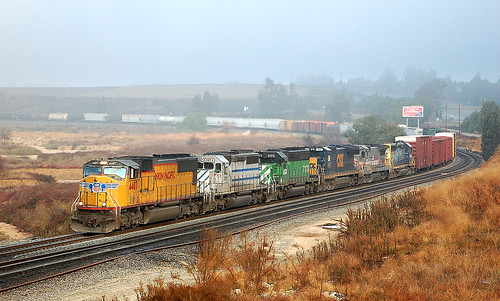
california up trains unionpacific railroads beaumont emd sd402 sd70m sunsetroute santimoteopass
Only the Best
california sky field grass clouds landscape countryside spring hills inlandempire morenovalley
Spring Valley
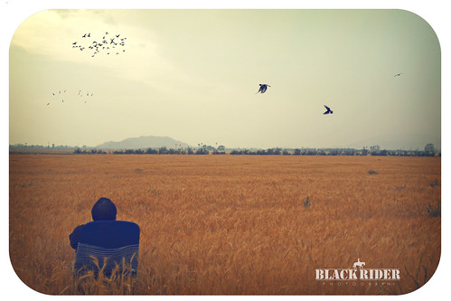
sunset selfportrait mountains nature birds landscape sitting cloudy farm horizon relaxing fields tres forever 365 agriculture wheatfield thecharlatans project365 inspiredbymusic humidday enjoytheview
Day 347/365: I know I'm going where the sun always shines (explored #328 on June 8, 2009)
sky rural fence nikon rocks cows mud farm hill hay d200 dairy hdr odc riversidecounty hbmike2000 iwishtheyallcouldbecaliforniacows
I Should Of Known Something Was Wrong ...
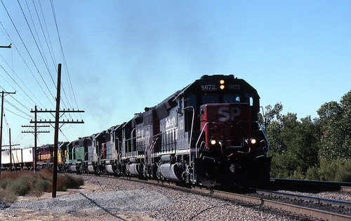
california up trains sp unionpacific southernpacific sd45 emd sd402 elcasco sd40 gp60 santimoteocanyon
Not Too Shabby
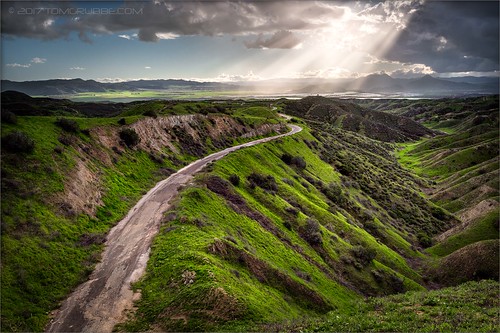
longexposure mountains grass landscape countryside spring farm scenic hills valley hoya morenovalley ndx400 nortonyounglovereserve tomgrubbe tomgrubbecom
Valley View II
california travel lake mountains unitedstates hills day1 miscellaneous lakeperris morenovalley project365 colorefexpro lakeperrisstaterecreationarea lookingouttheairplanewindow lookingoutsideplanewindow nikond800e lookingoutairplanewindow flightaustolax citygridpattern
Lake Perris, Surrounded by Hills and Mountains
grass tom landscape countryside farm scenic hills valley canon5d morenovalley canon28135 grubbe tomgrubbe
Valley View
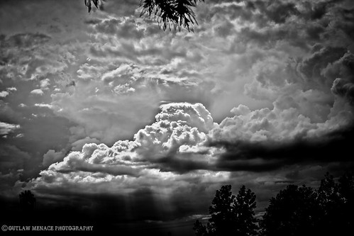
california trees light bw sun white black rain weather clouds high afternoon dynamic lightning storms range thunder redlands hdr yucaipa oakglen
The Storms of Late Summer
mountains grass landscape countryside spring farm scenic hills valley morenovalley nortonyounglovereserve tomgrubbe tomgrubbecom
Shooting Spot in the Hills
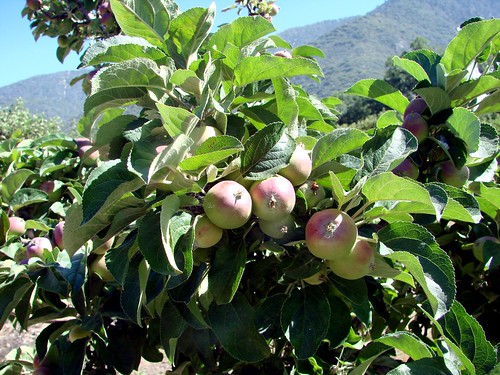
trees usa snow mountains fall clouds america fallcolors harvest fences foliage farms apples farmbuildings appleorchards oakglenca earlyamericana dgrahamphoto
Oak Glen Harvest Time 11-10-12
oakglenca pond reeds cattails reflection losriosranchos mountains winter apples orchards trees inlandempireca agriculture farming dgrahamphoto
Winter Pond, Oak Glen, CA 1-19-13
california digital train canon eos rebel sand mine open pass tracks pit robertsons hopper gravel banning cabazon sangorgonio sangorgoniopass xti openhopper robertsonsreadymix rrmx1033
Open Pit Mine
california longexposure sky grass clouds unitedstates 52weeks sigma1020mmf456 calimesa nd110 52weekproject
the view from here [7:52]
road snow mountains clouds landscape hills southerncalifornia banning inlandempire sangorgonio
View from Buff Rd
above ca travel blue sky terrain cloud holiday mountains building green window nature field weather plane airplane landscape fly nokia losangeles high airport day ray looking view desert bright earth aircraft aviation flight wing lakes houston atmosphere sunny aerial hills airline rivers land layer phonecamera airliner stratosphere sangabrielmountains birdeye lumia1020 nokialumia1020
Aerial view over San Gabriel Mountains
trees farms apples farmequipment countryliving appleorchards oakglenca snowlineorchard dgrahamphoto
Oak Glen, Apples, Snow-Line Orchard 6-
mountains nature grass landscape countryside spring log farm hills valley stump morenovalley tomgrubbe tomgrubbecom
Log in the Grass
roadgrader rustedmetal oldfarmequipment dgrahamphoto highlandspringsranchca
Road Grader, Highland Springs Ranch, CA 7-2011
Beaumont, California
jackrabbittrail road hills green spring storm godbeams countryside california landscape
Jack Rabbit Trail Road
jackrabbittrail trail hills green spring clouds storm rain countryside california landscape
Jack Rabbit Storm
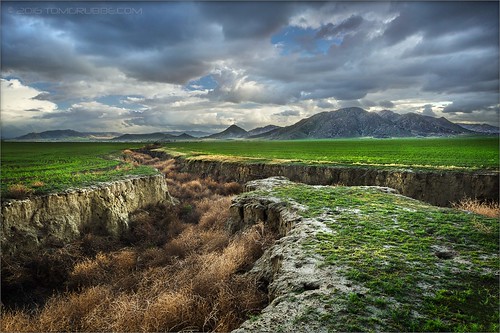
field farm countryside gorge chasm ravine tumbleweeds spring grass storm clouds morenovalley california landscape
Lumonitious Landscape
jackrabbittrail trail hills green spring storm countryside california landscape
Spring Trail II
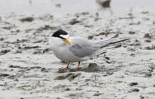
Least Tern
california storm field grass clouds landscape countryside spring farm ravine gorge tumbleweeds chasm morenovalley
Spring Valley Gorge
spring grass hills clouds storm lakeperris morenovalley nortonyounglovereserve longexposure californialandscape
New Season
jackrabbittrail trail hills green spring storm countryside california landscape
Spring Trail
california grass clouds landscape spring dry lakeview barren crackedearth sanjacintowildlifearea
Earth and Grass
california sky lake clouds dark landscape twilight dusk hills lakeview morenovalley sanjacintowildlifearea
Twilight Hills
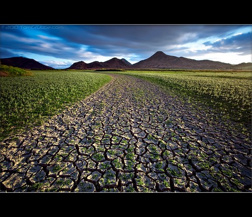
longexposure storm mountains field grass clouds creek landscape countryside earth hills cracked sanjacinto sanjacintowildlifearea
Earth and Renewal
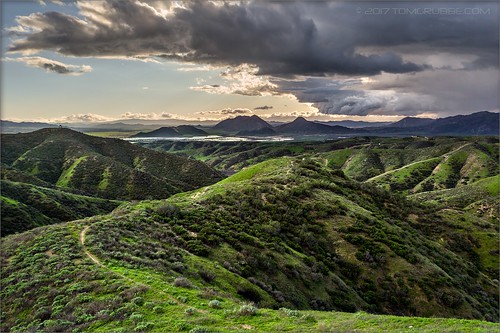
california sky storm clouds landscape spring hills badlands morenovalley jackrabbittrail
Hills from Jack Rabbit Trail
oakglenca losriosrancho california usa landscapes picnictable wildflowers oaktree spring springflowers shadetrees
Pretty Place for a Picnic, Oak Glen, CA 5-20-17
california autumn trees houses snow mountains fall landscape fences fields apples coulds orchards oakglen appleorchards
Autumn day in apple country
california lake grass landscape badlands lakeview morenovalley sanjacintowildlifearea mountainds
Grass and Badlands
2018 hiking oakglen
pond reflectin
california autumn sunset sky storm fall clouds landscape countryside scenic hills valley morenovalley nortonyounglovereserve
Sunset Valley II