Elevation of 28 Big Falls, Crawford, Tn, USA
Location: United States > Tennessee > Overton County > Crawford >
Longitude: -85.163243
Latitude: 36.2531609
Elevation: 579m / 1900feet
Barometric Pressure: 95KPa
Elevation Map:
Satellite Map:
Related Photos:

Abandoned Country House

Monterey, TN Train Depot

74/365 - Monterey Water Tower
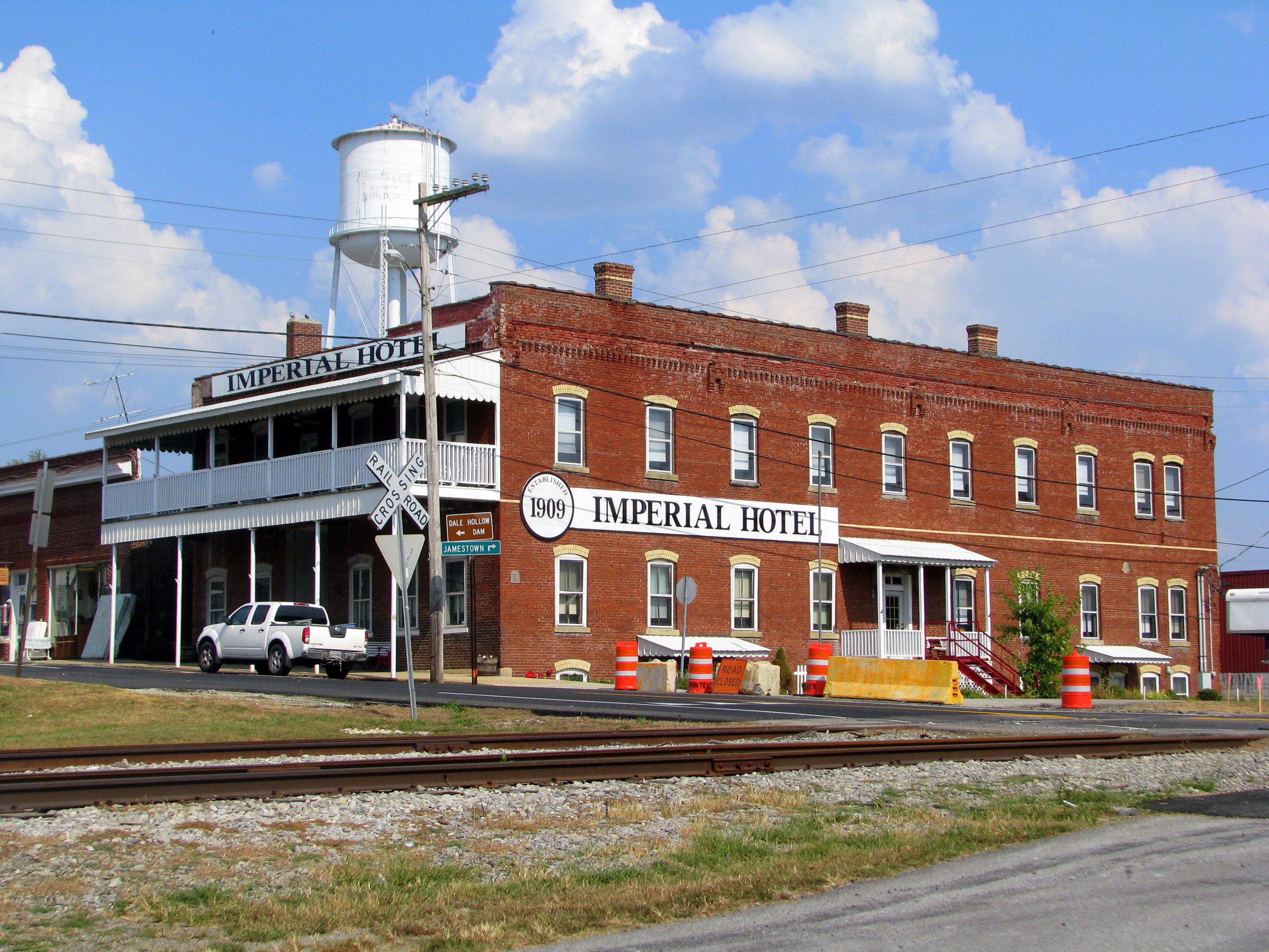
Imperial Hotel (2011 view) - Monterey, TN
te-237
te-201
te-401
te-374
te-343
te-244
te-402
te-070
te-223
te-085
te-397
te-305
te-242
te-391
te-174
te-311
te-238
te-095
te-312
te-232
te-076
Topographic Map of 28 Big Falls, Crawford, Tn, USA
Find elevation by address:

Places near 28 Big Falls, Crawford, Tn, USA:
Laurel Way
645 Laurel Way
Crawford
273 E Fork Ln
71014 Key Ridge Rd
5060 Hidden
Hanging Limb Hwy, Crawford, TN, USA
31294 Steel Tram Ridge Rd
30372 Steel Tram Ridge
178 Old Baker Ln
3359 Chapel Hill Rd
984 Sunk Cane Rd
Twinton
Phillips Ford Road
Cravenstown Road
Wilder Rd, Wilder, TN, USA
Wilder
399 Coal Ln
Allred
1175 Highland Mountain Rd
Recent Searches:
- Elevation of Corso Fratelli Cairoli, 35, Macerata MC, Italy
- Elevation of Tallevast Rd, Sarasota, FL, USA
- Elevation of 4th St E, Sonoma, CA, USA
- Elevation of Black Hollow Rd, Pennsdale, PA, USA
- Elevation of Oakland Ave, Williamsport, PA, USA
- Elevation of Pedrógão Grande, Portugal
- Elevation of Klee Dr, Martinsburg, WV, USA
- Elevation of Via Roma, Pieranica CR, Italy
- Elevation of Tavkvetili Mountain, Georgia
- Elevation of Hartfords Bluff Cir, Mt Pleasant, SC, USA