Elevation of 27 Santistaban Way, Hot Springs Village, AR, USA
Location: United States > Arkansas > Garland County > Hale Township > Hot Springs Village >
Longitude: -92.978658
Latitude: 34.6750744
Elevation: 207m / 679feet
Barometric Pressure: 99KPa
Elevation Map:
Satellite Map:
Related Photos:

i'm looking through you
Ouachita Jeep 035
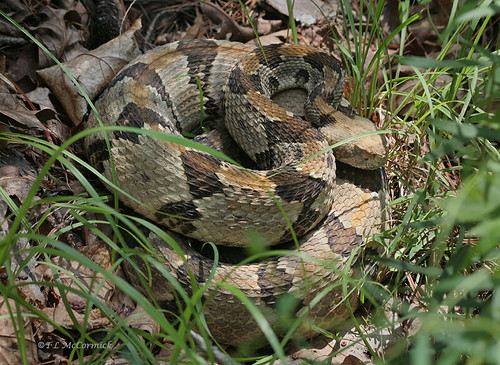
Canebrake, or Timber Rattlesnake coiled (0762a)
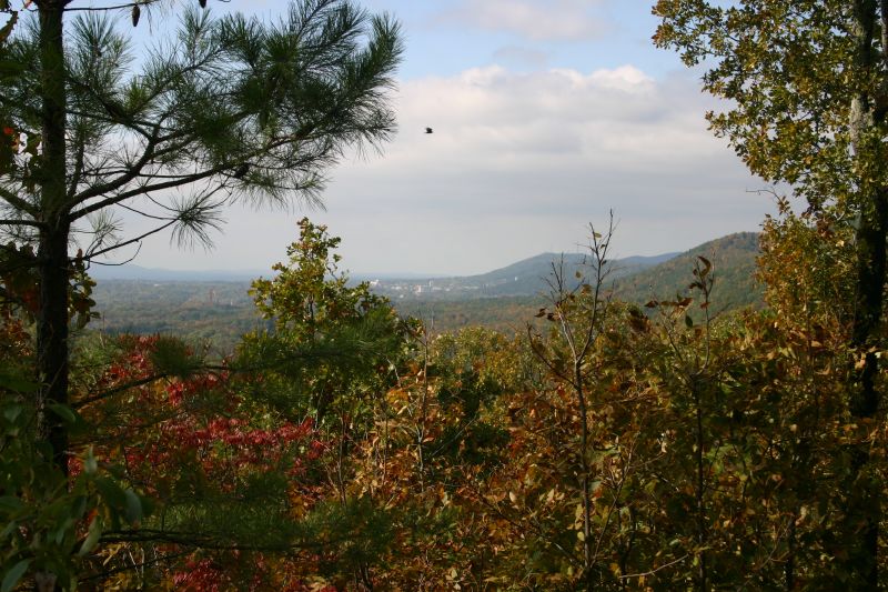
Morning views #hotspringsvillage
Early Morning Yard

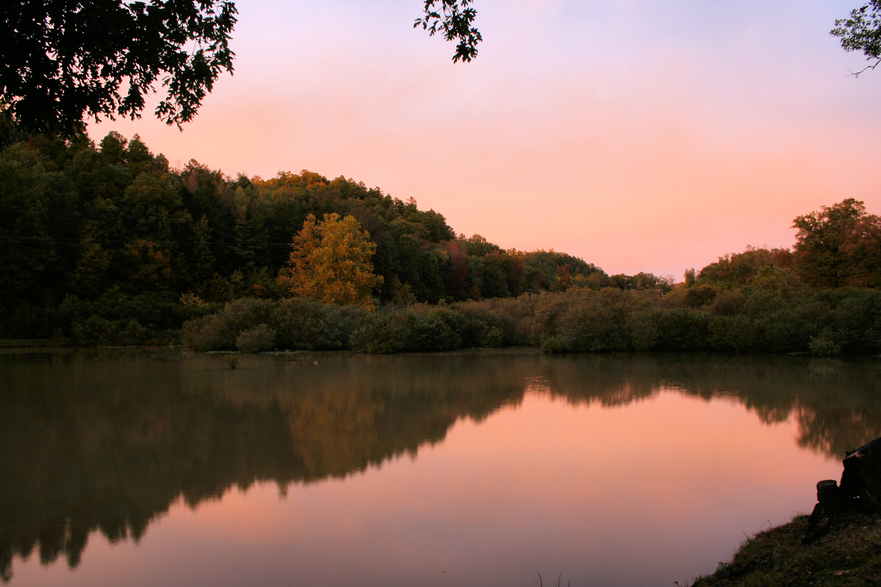
#HotSpringsVillage #BalboaLake #Arkansas #Sunset
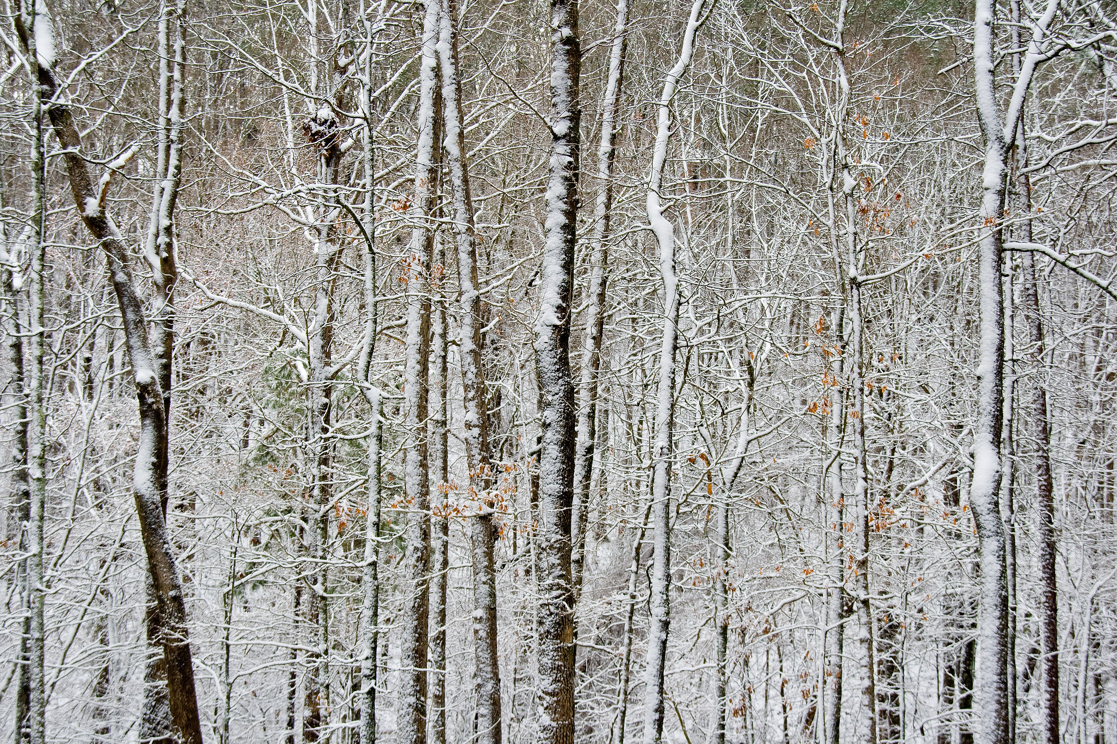
Backyard Snow 4

Lake Balboa Beach 09
Arkansas Trip - Hot Springs - 007

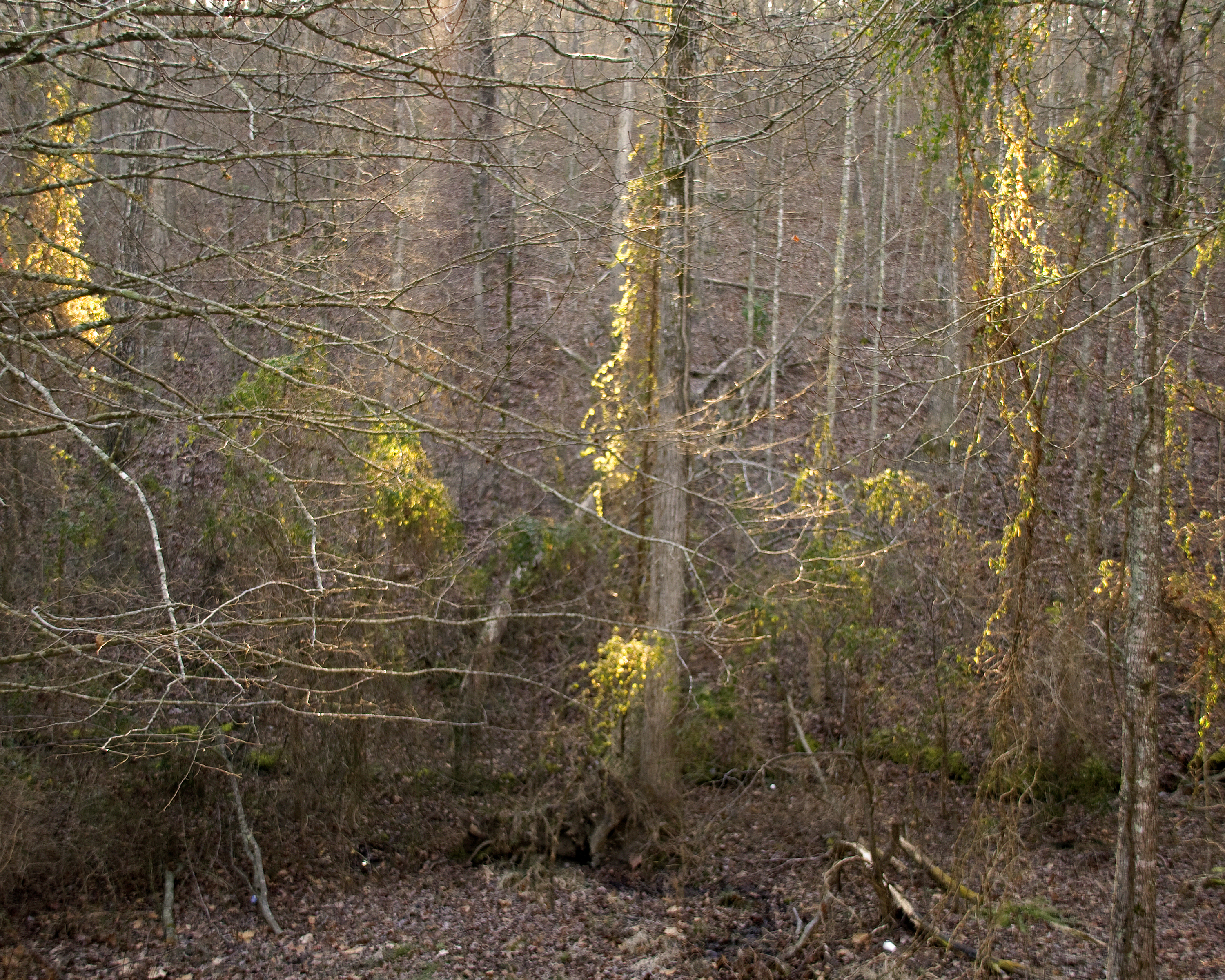
Seasonally wet/flat glade

Arkansas Sunset

Lake Balboa Beach 08

Lake Balboa Beach 02
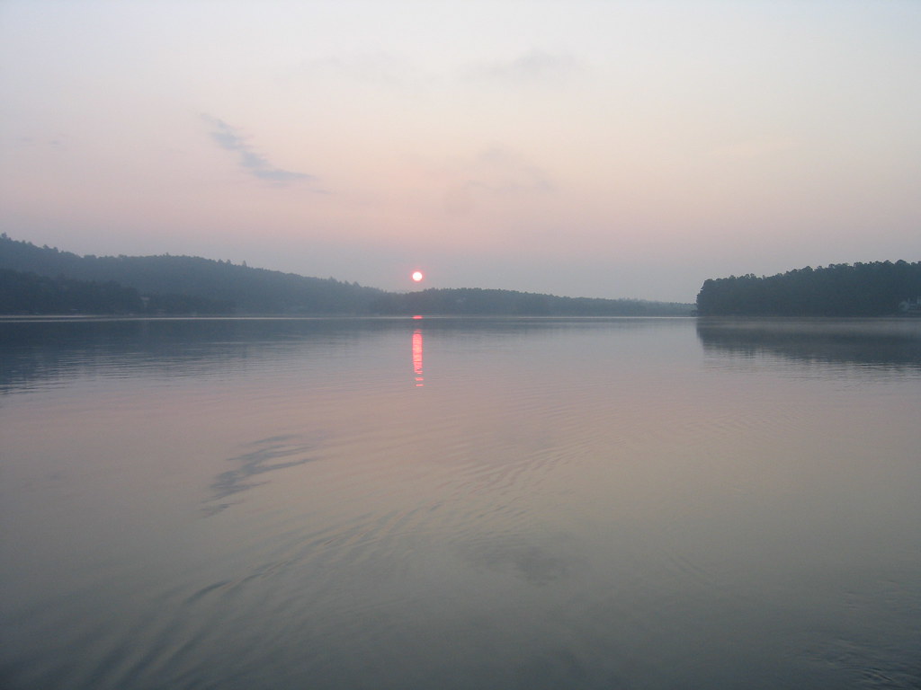
Sunrise on Lake Coronado
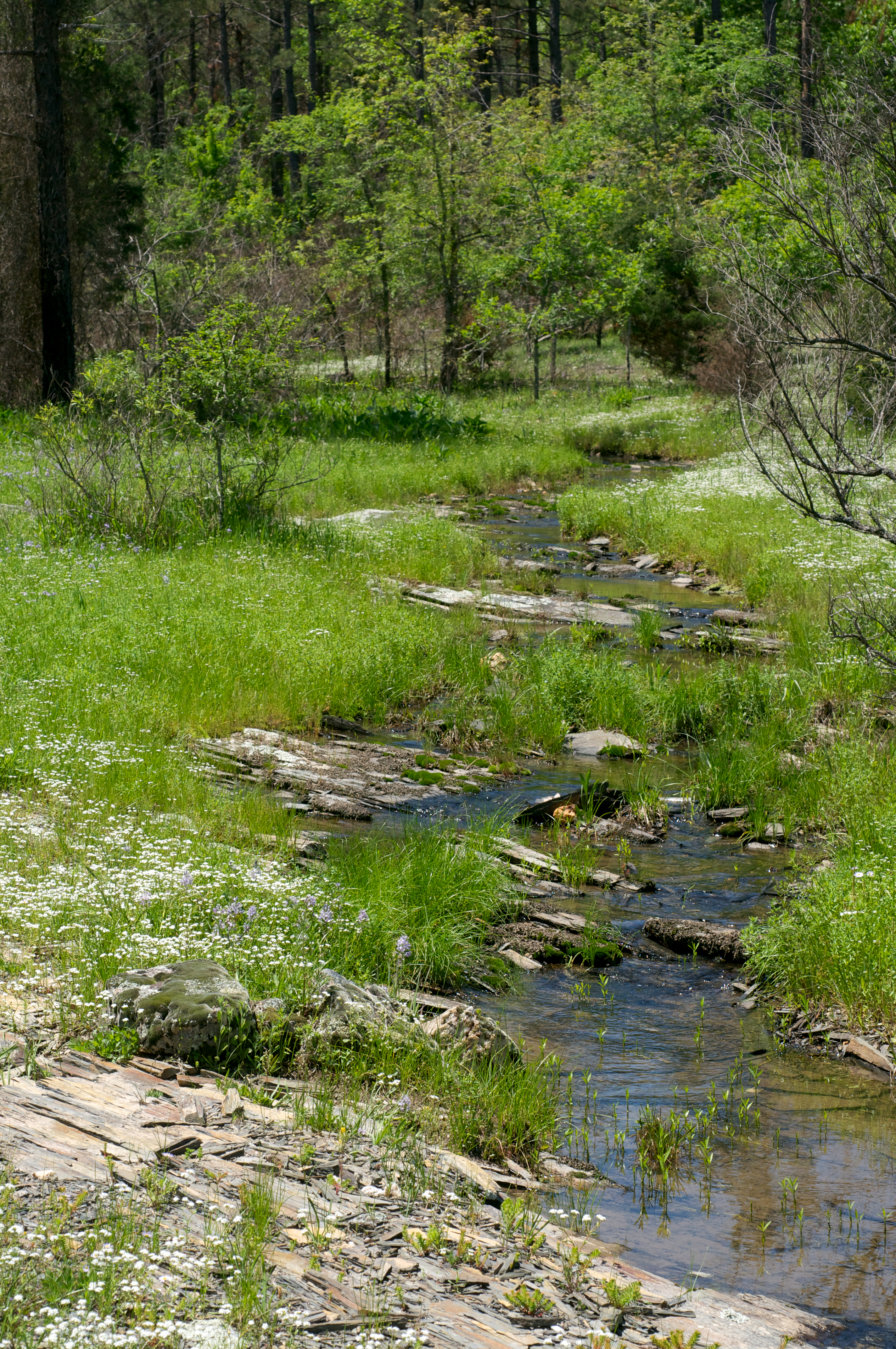
Seasonally wet/flat glade
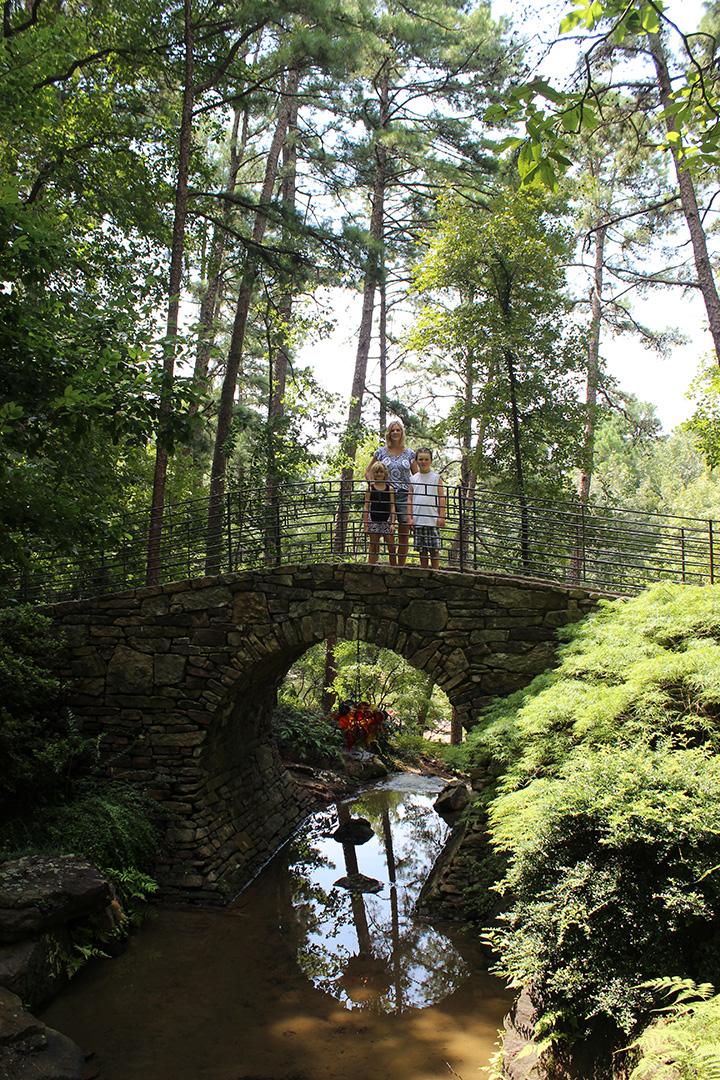
Garven Gardens Bridge
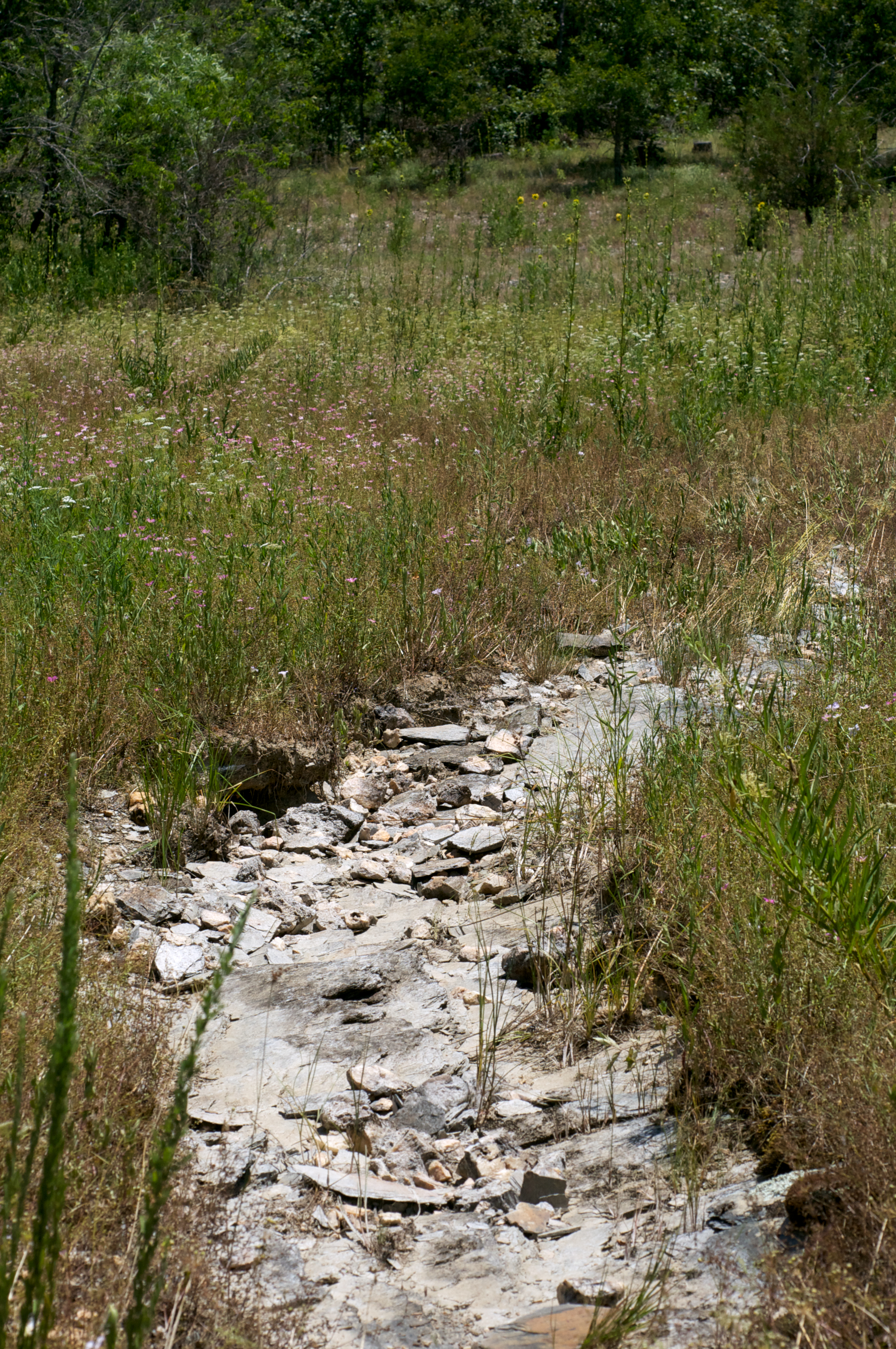
Shale Barren
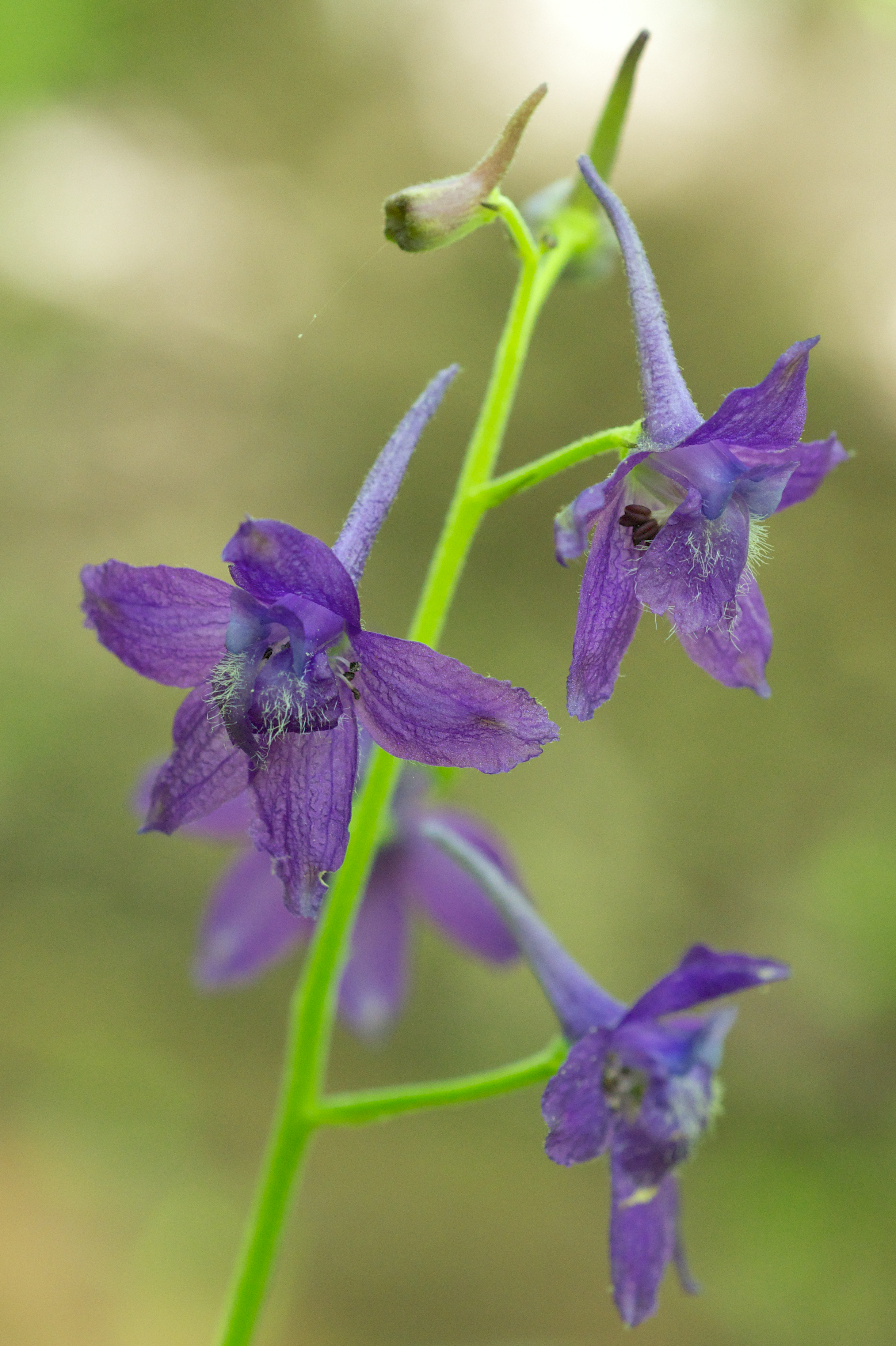
Delphinium tricorne

6.80km from Jessieville, Arkansas
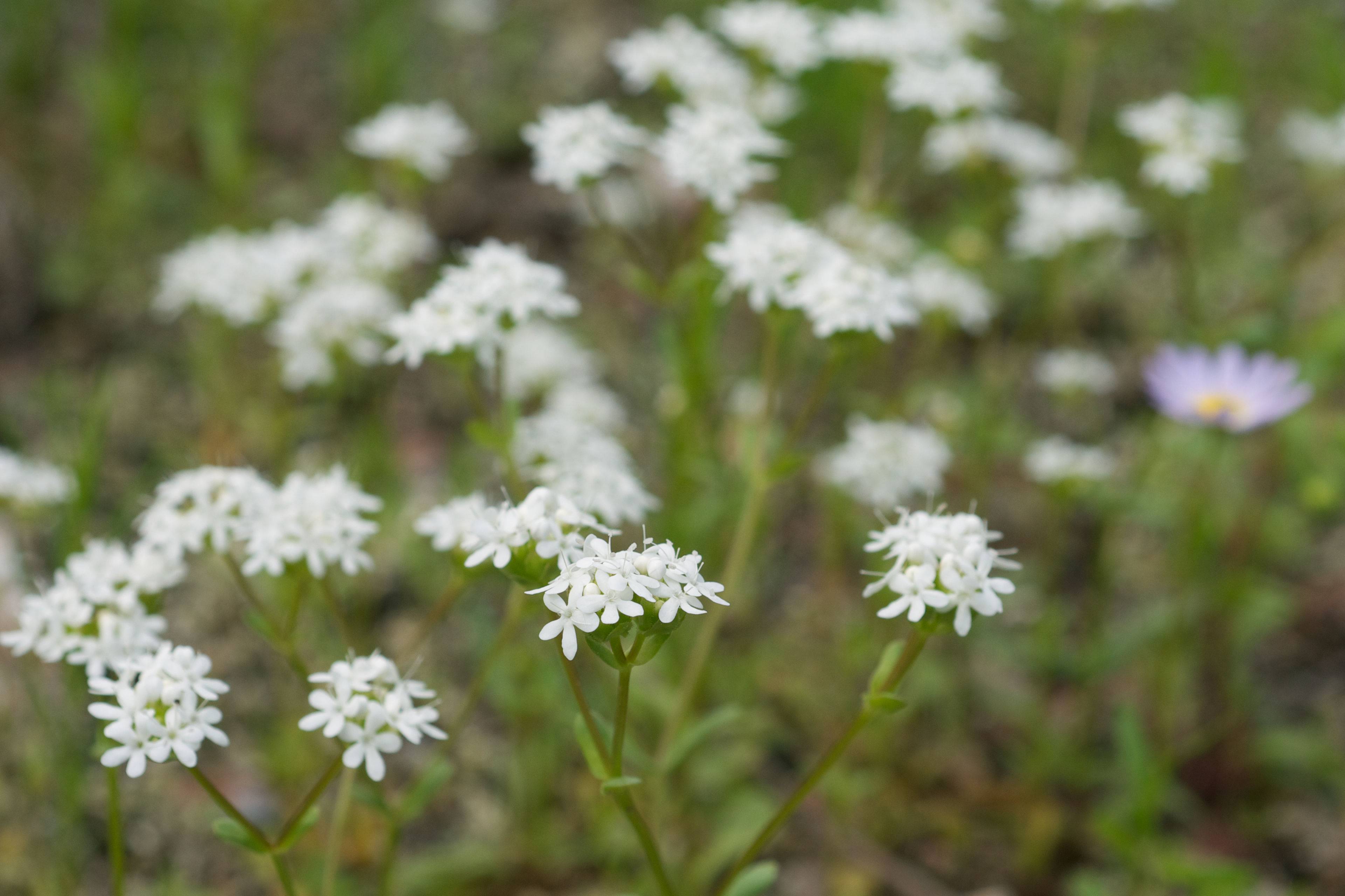
Valerianella nuttallii
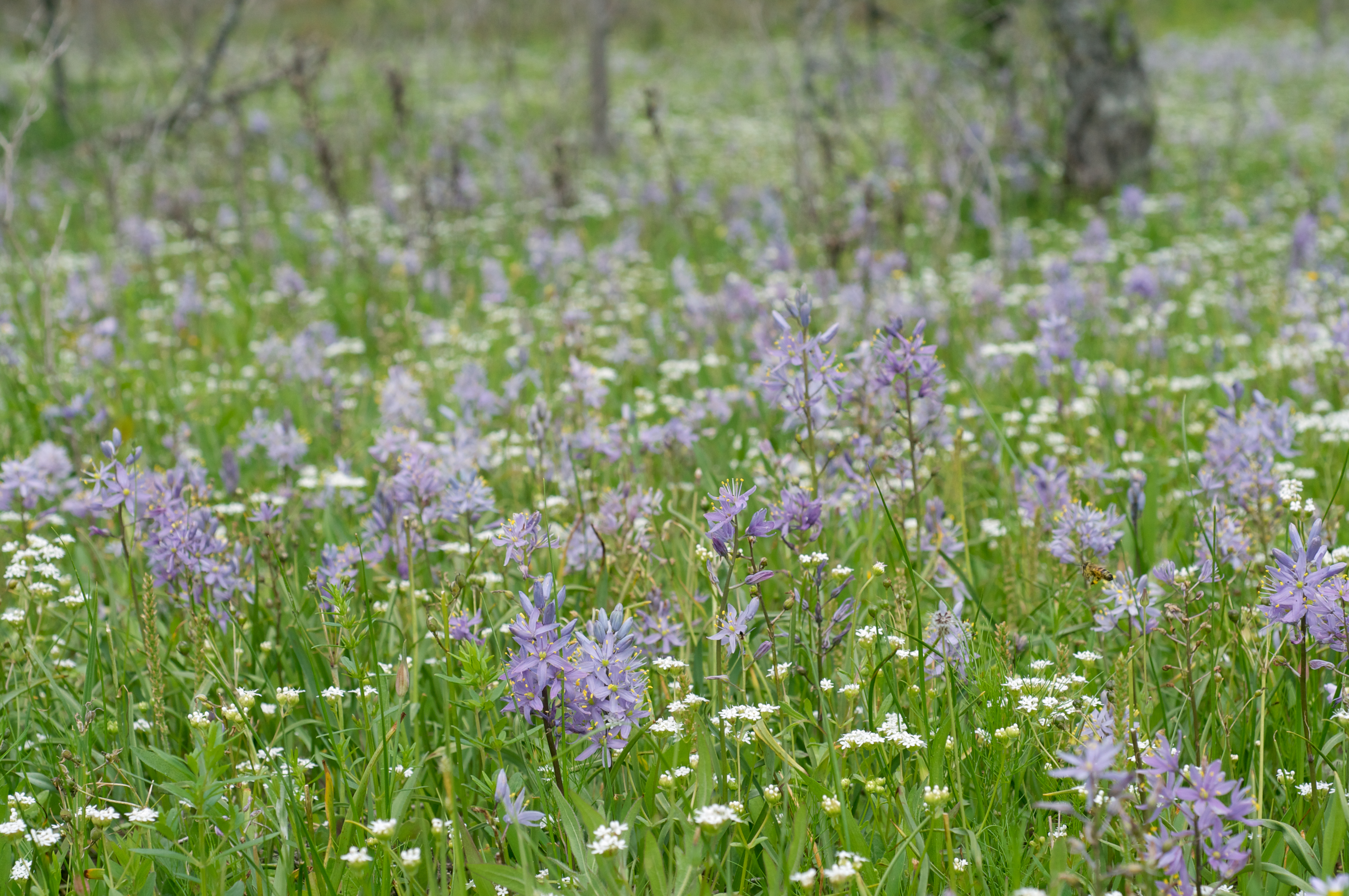
Camassia scilloides
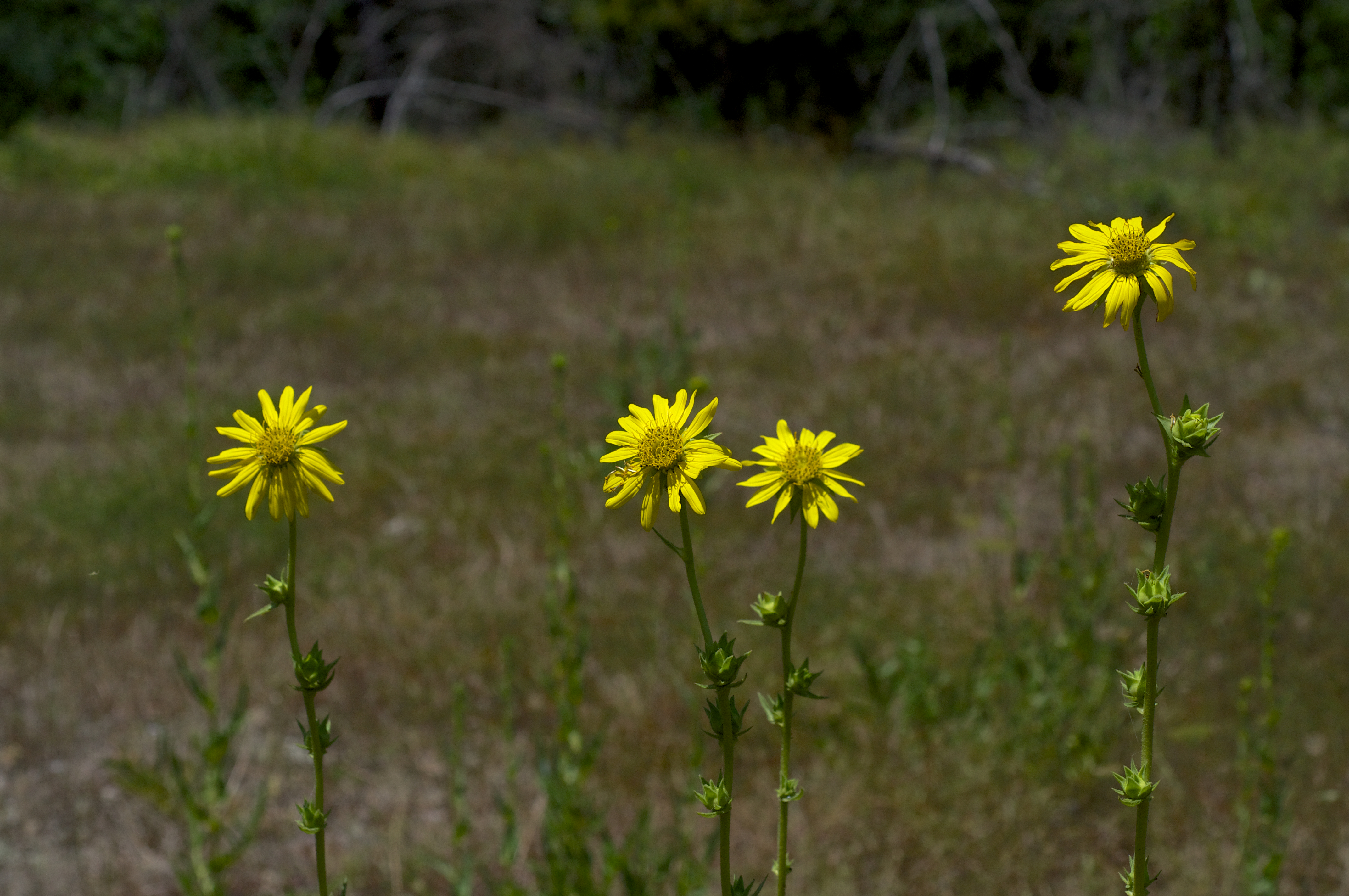
Silphium lacinatum
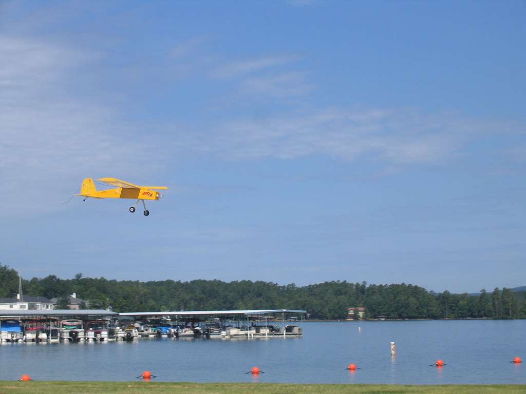
RC Plane at Lake Balboa 3
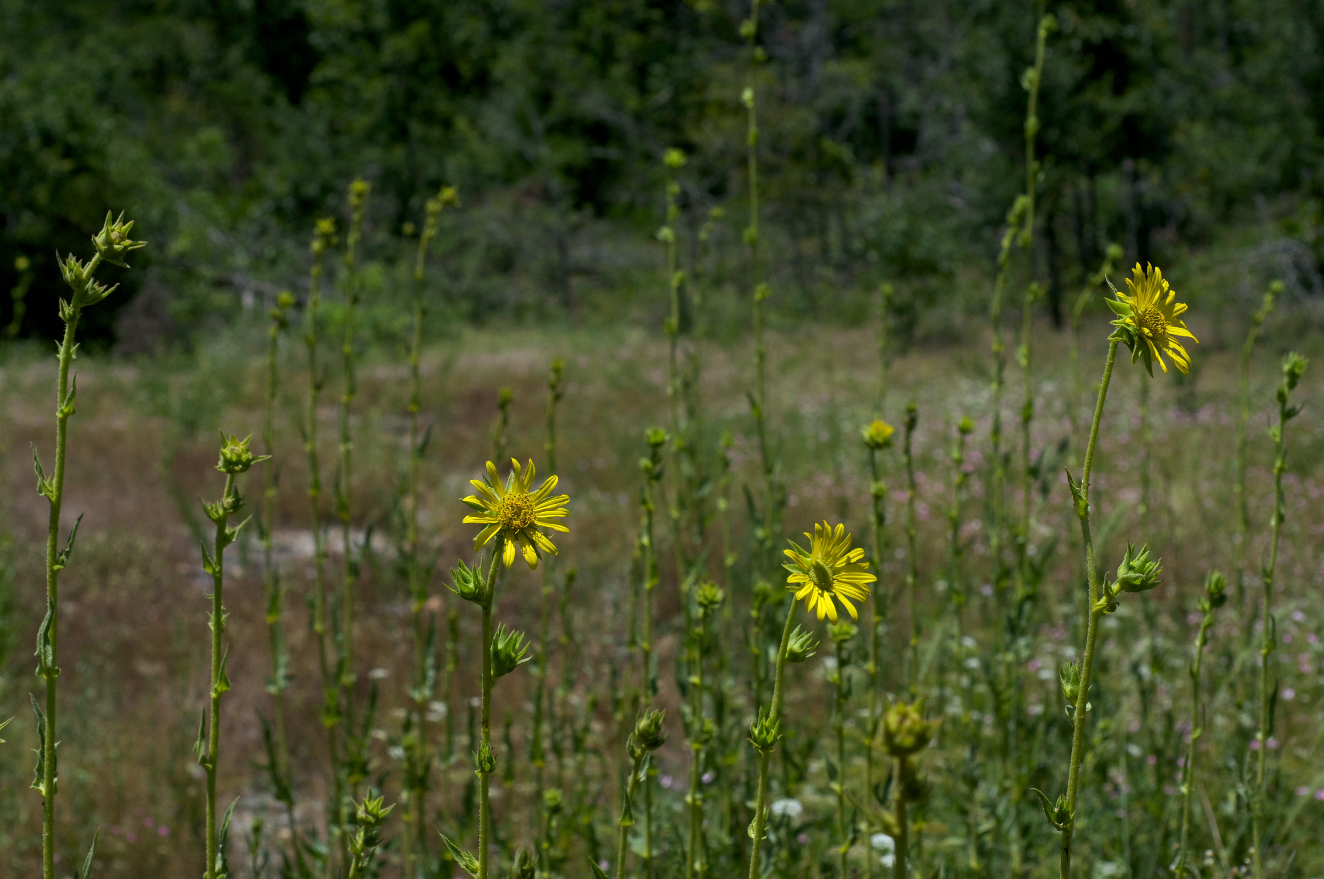
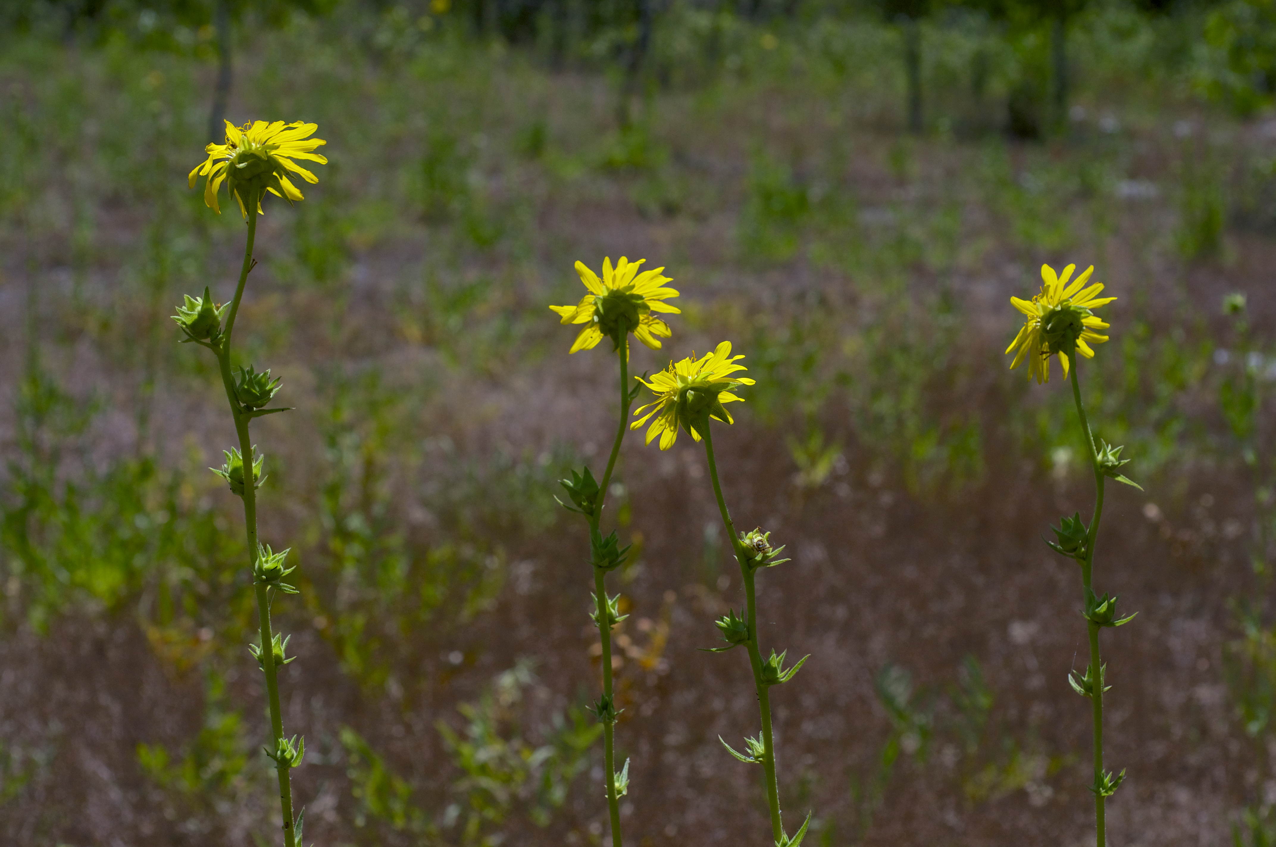
Silphium lacinatum
Silphium lacinatum
Topographic Map of 27 Santistaban Way, Hot Springs Village, AR, USA
Find elevation by address:

Places near 27 Santistaban Way, Hot Springs Village, AR, USA:
6 Moncada Cir
1 Delgado Ln
1 Delgado Ln
75 Delgado Ln
Certero Circle
1 Sur De Curso Way
Hot Springs Village
18 La Palabra Way
47 Gancho Way
27 Delgado Ln
9 Devaca Way
75 Delgado Way
6 Coronado Trce
13 Modesto Way
3 Modesto Way
5 Camarzana Ln, Hot Springs Village, AR, USA
5 Mesero Pl
18-14 Cortez Way
150 Ponderosa Way
12 Camisa Way
Recent Searches:
- Elevation of Corso Fratelli Cairoli, 35, Macerata MC, Italy
- Elevation of Tallevast Rd, Sarasota, FL, USA
- Elevation of 4th St E, Sonoma, CA, USA
- Elevation of Black Hollow Rd, Pennsdale, PA, USA
- Elevation of Oakland Ave, Williamsport, PA, USA
- Elevation of Pedrógão Grande, Portugal
- Elevation of Klee Dr, Martinsburg, WV, USA
- Elevation of Via Roma, Pieranica CR, Italy
- Elevation of Tavkvetili Mountain, Georgia
- Elevation of Hartfords Bluff Cir, Mt Pleasant, SC, USA