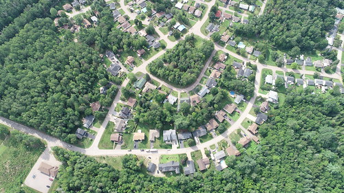
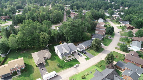
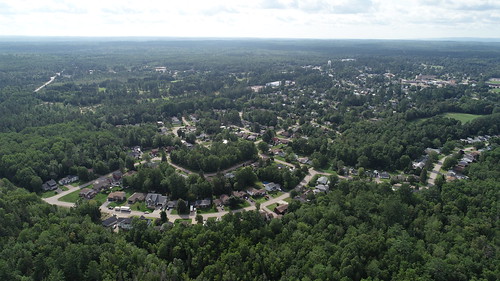
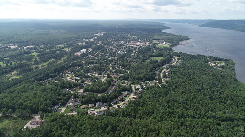
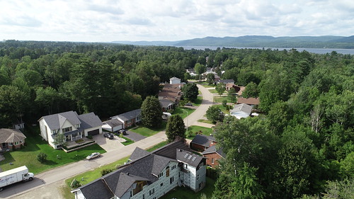
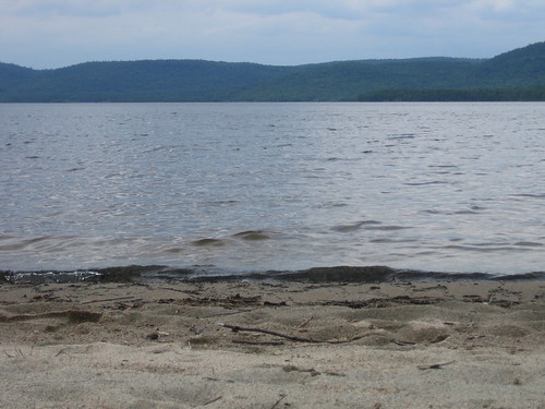
Elevation of 27 Laurentian St, Wilno, ON K0J 2N0, Canada
Location: Canada > Ontario > Renfrew County > Deep River >
Longitude: -77.485683
Latitude: 46.0972719
Elevation: 136m / 446feet
Barometric Pressure: 100KPa
Related Photos:
Topographic Map of 27 Laurentian St, Wilno, ON K0J 2N0, Canada
Find elevation by address:

Places near 27 Laurentian St, Wilno, ON K0J 2N0, Canada:
45 Champlain St
Deep River
9 Darwin Crescent
7 Laurence Ct
33932 Hwy 17
Chalk River
15 Jessica Ln
15 Jessica Ln
Laurentian Hills
Bass Lake
K0j 1j0
37 Godreau Rd, Laurentian Hills, ON K0J, Canada
Achray
98 Recoskie Ln
Round Lake
Killaloe, Hagarty And Richards
17 Deer Trail Rd
3493 Round Lake Rd
Round Lake Centre
2423 Simpson Pit Rd
Recent Searches:
- Elevation of Corso Fratelli Cairoli, 35, Macerata MC, Italy
- Elevation of Tallevast Rd, Sarasota, FL, USA
- Elevation of 4th St E, Sonoma, CA, USA
- Elevation of Black Hollow Rd, Pennsdale, PA, USA
- Elevation of Oakland Ave, Williamsport, PA, USA
- Elevation of Pedrógão Grande, Portugal
- Elevation of Klee Dr, Martinsburg, WV, USA
- Elevation of Via Roma, Pieranica CR, Italy
- Elevation of Tavkvetili Mountain, Georgia
- Elevation of Hartfords Bluff Cir, Mt Pleasant, SC, USA
