Elevation of 17 Deer Trail Rd, Killaloe, ON K0J 2A0, Canada
Location: Canada > Ontario > Renfrew County > Killaloe, Hagarty And Richards > Killaloe >
Longitude: -77.5731909
Latitude: 45.6458872
Elevation: 171m / 561feet
Barometric Pressure: 0KPa
Related Photos:

life and decay
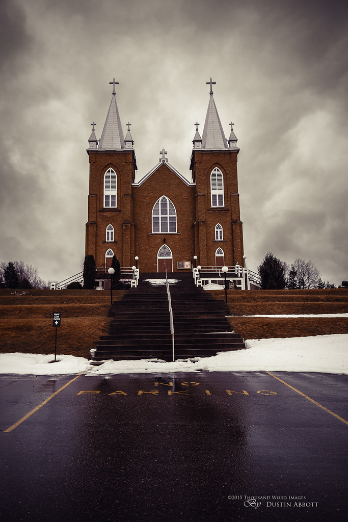
St. Mary's, Wilno
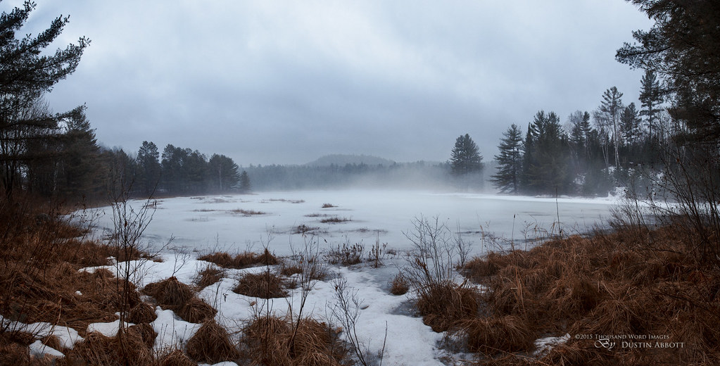
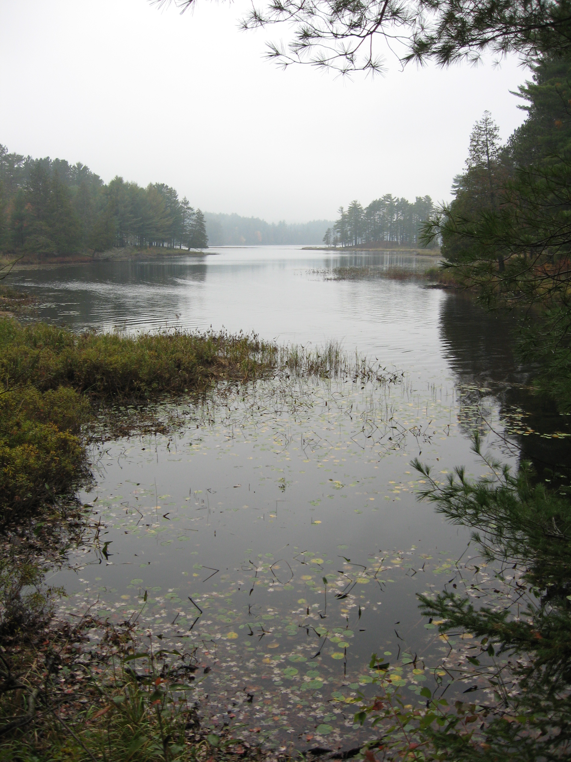
One Misty Afternoon
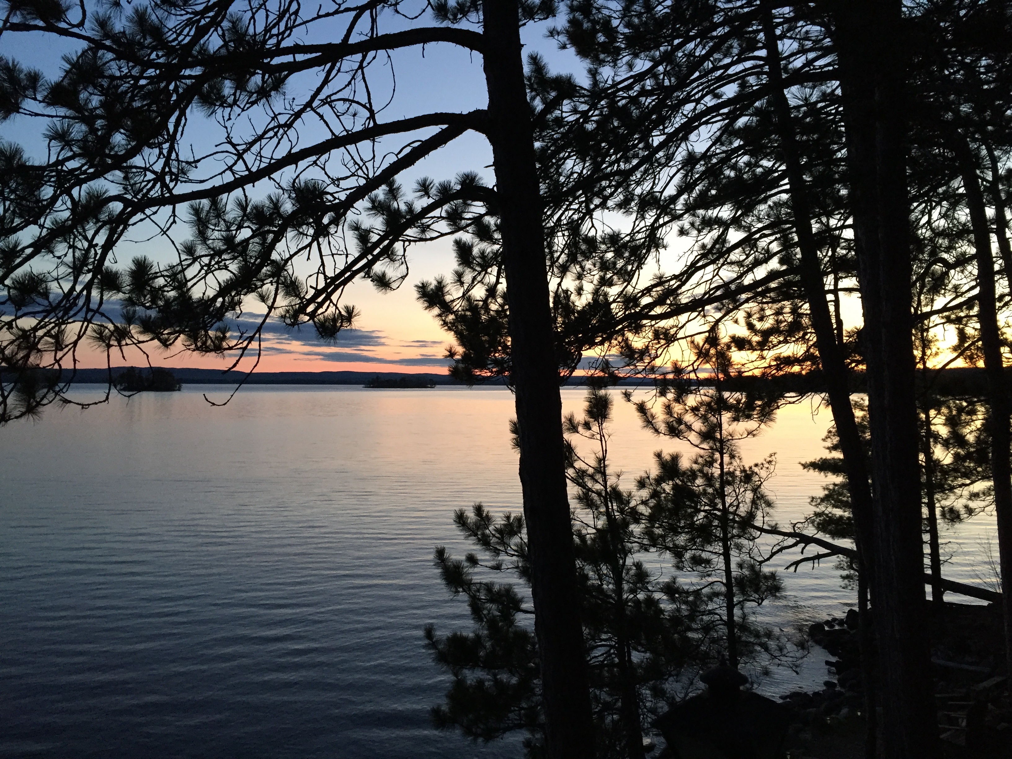
Cottage view
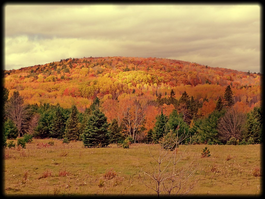
Fall colors in full bloom.

Cottage near Algonquin

gently lapping
White Mountain Narrows
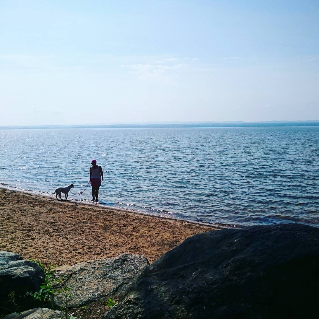
Quick stop for a walk on the #beach in Deacon. Now onwards to Killarney.
Topographic Map of 17 Deer Trail Rd, Killaloe, ON K0J 2A0, Canada
Find elevation by address:

Places near 17 Deer Trail Rd, Killaloe, ON K0J 2A0, Canada:
3493 Round Lake Rd
98 Recoskie Ln
Round Lake
Round Lake Centre
2423 Simpson Pit Rd
Killaloe, Hagarty And Richards
279 Murak Flis Rd
Wilno
1064 Church St
14 Shalla St
1176 Kuiack Rd
3191 Mountain View Rd
3094 Mountain View Rd
K0j 1b0
19162 On-60
19162 On-60
19162 On-60
19162 On-60
19162 On-60
19162 On-60
Recent Searches:
- Elevation of Pasing, Munich, Bavaria, 81241, Germany
- Elevation of 24, Auburn Bay Crescent SE, Auburn Bay, Calgary, Alberta, T3M 0A6, Canada
- Elevation of Denver, 2314, Arapahoe Street, Five Points, Denver, Colorado, 80205, USA
- Elevation of Community of the Beatitudes, 2924, West 43rd Avenue, Sunnyside, Denver, Colorado, 80211, USA
- Elevation map of Litang County, Sichuan, China
- Elevation map of Madoi County, Qinghai, China
- Elevation of 3314, Ohio State Route 114, Payne, Paulding County, Ohio, 45880, USA
- Elevation of Sarahills Drive, Saratoga, Santa Clara County, California, 95070, USA
- Elevation of Town of Bombay, Franklin County, New York, USA
- Elevation of 9, Convent Lane, Center Moriches, Suffolk County, New York, 11934, USA
- Elevation of Saint Angelas Convent, 9, Convent Lane, Center Moriches, Suffolk County, New York, 11934, USA
- Elevation of 131st Street Southwest, Mukilteo, Snohomish County, Washington, 98275, USA
- Elevation of 304, Harrison Road, Naples, Cumberland County, Maine, 04055, USA
- Elevation of 2362, Timber Ridge Road, Harrisburg, Cabarrus County, North Carolina, 28075, USA
- Elevation of Ridge Road, Marshalltown, Marshall County, Iowa, 50158, USA
- Elevation of 2459, Misty Shadows Drive, Pigeon Forge, Sevier County, Tennessee, 37862, USA
- Elevation of 8043, Brightwater Way, Spring Hill, Williamson County, Tennessee, 37179, USA
- Elevation of Starkweather Road, San Luis, Costilla County, Colorado, 81152, USA
- Elevation of 5277, Woodside Drive, Baton Rouge, East Baton Rouge Parish, Louisiana, 70808, USA
- Elevation of 1139, Curtin Street, Shepherd Park Plaza, Houston, Harris County, Texas, 77018, USA