Elevation of 26 Cradle Knolls Ln, Sedgwick, ME, USA

Location: United States > Maine > Hancock County > Sedgwick >

Longitude: -68.689757

Latitude: 44.4017805

Elevation: -10000m / -32808feet

Barometric Pressure: 295KPa

Elevation Map:

elevation map of 26 Cradle Knolls Ln, Sedgwick, ME, USA

Satellite Map:

Satellite map of 26 Cradle Knolls Ln, Sedgwick, ME, USA

Related Photos:

blueberrybarrens maine caterpillarhill view ocean mountains trees field
View from Caterpillar Hill
bridge suspension maine aerial finepix fujifilm deerisle stonington penobscotislandair s9600 s9100 lighthouseweekend lighthouseday chipsfolio
Aerial View (1) of the Deer Isle - Sedgwick Bridge
bridge suspension maine aerial finepix fujifilm deerisle stonington eggemoggin littledeerisle penobscotislandair s9600 s9100 lighthouseweekend lighthouseday chipsfolio
Aerial View of Little Deer Isle and the Deer Isle - Sedgwick Bridge
coastguard lighthouse fog coast maine shoreline newengland romance belltower september highway1 fortpoint peninsula atlanticocean navigation 18thcentury acadia route1 barharbor 2012 optic thewaylifeshouldbe acadianationalpark uscoastguard 2470mm penobscotriver fogbell fourthorderfresnellens keepershouse fogsignal bangormaine stocktonsprings fortpointlight fortpointstatepark capejellison lighthousesofmaine penobscotnarrowsbridgeandobservatory yenumula worldofarun uslighthouseservice nikond800 fogbelltower mainelightsprogram arunyenumula fortpownall firstriverlighthouseinmaine lumberingport pyramidalbelltower
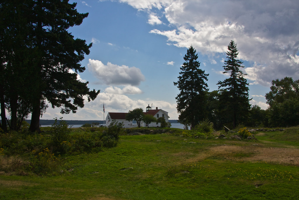
The lighthouse at Fort Point, Maine
High Tide 3D Cross View
newengland maine hancockcounty castine outbuildings weatheredwood bicycles september2017 september 2017 canon16354l
Second Time Around
coastguard lighthouse fog coast maine shoreline newengland romance belltower september highway1 fortpoint peninsula atlanticocean navigation 18thcentury acadia route1 barharbor 2012 optic thewaylifeshouldbe acadianationalpark uscoastguard 2470mm penobscotriver fogbell fourthorderfresnellens keepershouse fogsignal bangormaine stocktonsprings fortpointlight fortpointstatepark capejellison lighthousesofmaine penobscotnarrowsbridgeandobservatory yenumula worldofarun uslighthouseservice nikond800 fogbelltower mainelightsprogram arunyenumula fortpownall firstriverlighthouseinmaine lumberingport pyramidalbelltower
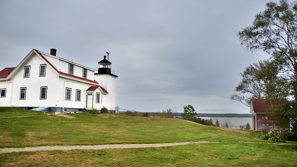
Fort Point Lighthouse, Maine
ocean sky bw lighthouse water grass clouds blackwhite maine newengland coastline fortpointlighthouse stocktonsprings fortpointstatepark robertallanclifford cliffordphotographynhcom
Fort Point Lighthouse
newengland maine hancockcounty castine lighthouses atlanticlighthouses newenglandlighthouses mainelighthouses dyceheadlight lightkeepershouses overcast september2017 september 2017 canon16354l
Waterside Home
salamanderfilter
view of the ocean
nokia maine surry windowsphone lumia toddypond nokialumia1520 lumia1520 microsoftlumia
WP_20140818_19_16_13_Raw.jpg
The Camden Hills
Penobscot View
park lighthouse me point state fort map maine springs stockton tone hdr
Fort Point Light, Northeast Side View
newengland maine hancockcounty castine lighthouses atlanticlighthouses newenglandlighthouses mainelighthouses dyceheadlight overcast september2017 september 2017 canon24704l
Dyce Head Lighthouse
maine bluehillfair
Sausage at the Fair
castine maine
View from Bah's Bakehouse
Street View
unitedstates maine castine
View of Bagaduce River in Castine
maine 2008 castine
View of Castine harbor
ocean horses view farm maine islesboro gilder
Islesboro riding farm
usa2017 gdg bw road maine landscape newengland deerisle unitedstates us
(drive) ... on the water
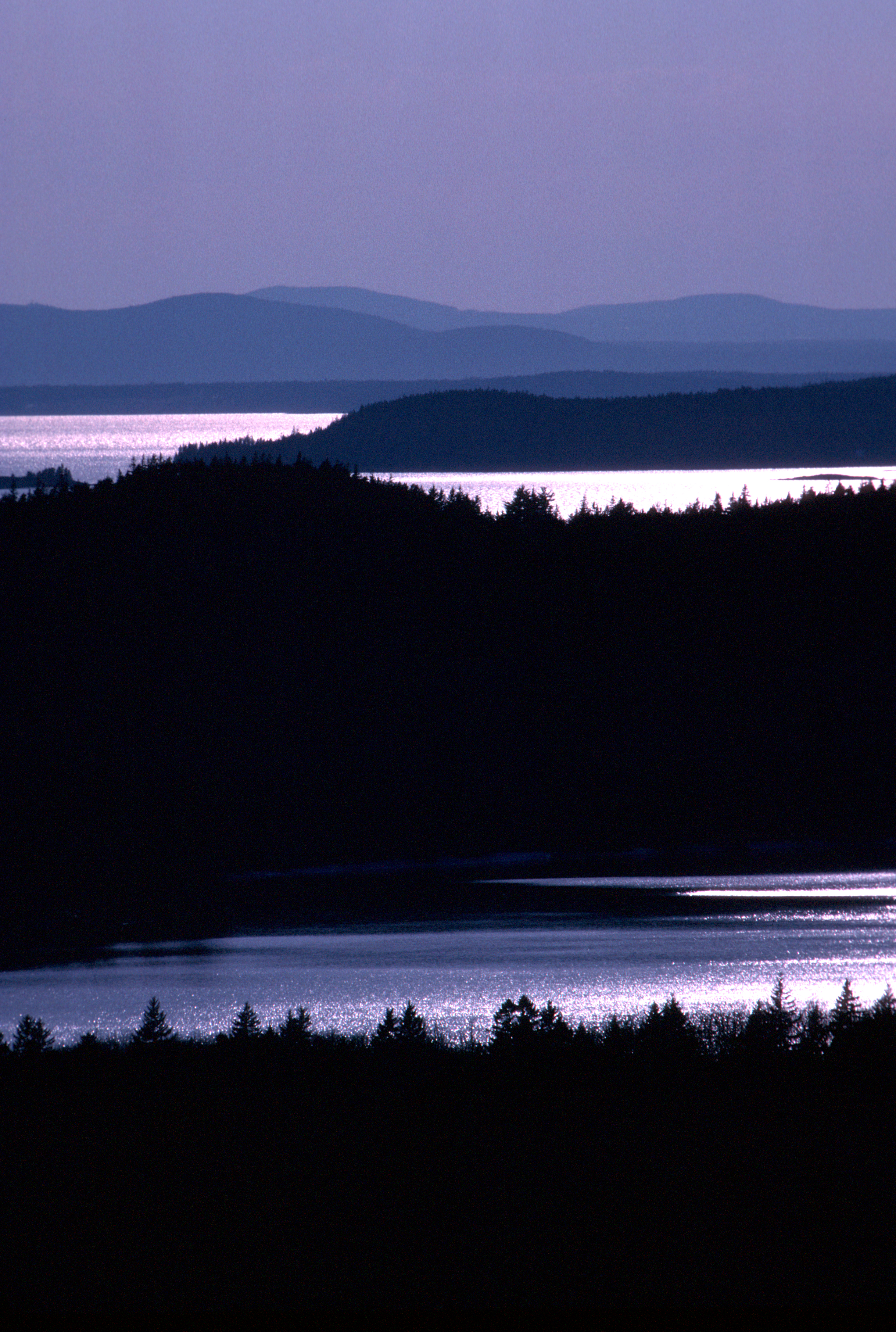
Camden Hills From Catapiller Hill
object plant water bay grass rock
Shore 3883
light lighthouse house landscape coast maine
Fort Point Light House.
sky ocean sunset islands coast maine shoreline beauty nature
Sunset on Blue Hill Bay
moon stars nikon super startrails eastbluehillmaine nikkor1424
Star Trails in Maine
milkyway stars maine astrophotography bluehill me places usa
Milky Way Over Curtis Cove
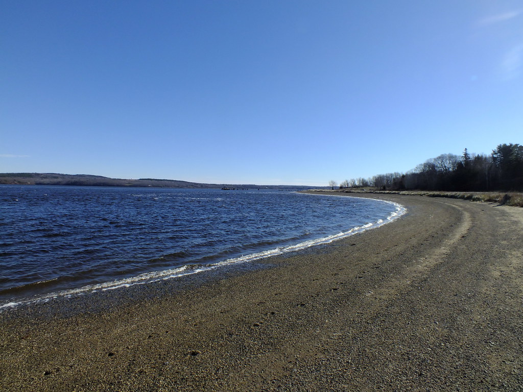
pictures ocean new trip travel light sea sky usa color fall film nature water river landscape geotagged photography us photo raw day image photos live maine picture images photograph digitalcamera seashore umi atlanticocean saltwater taikai mainecoast mizu locéan leau penobscotriver fugifilm topshots stocktonsprings sandypointbeach elagua daswasser elocéano finepixhs20exr dailynaturetnc12 flickkrsportal rong58 derozean
Sandy Point Beach
Blue Hill Dock
Thresholds sunset - Little Deer Isle ME 20090711 051
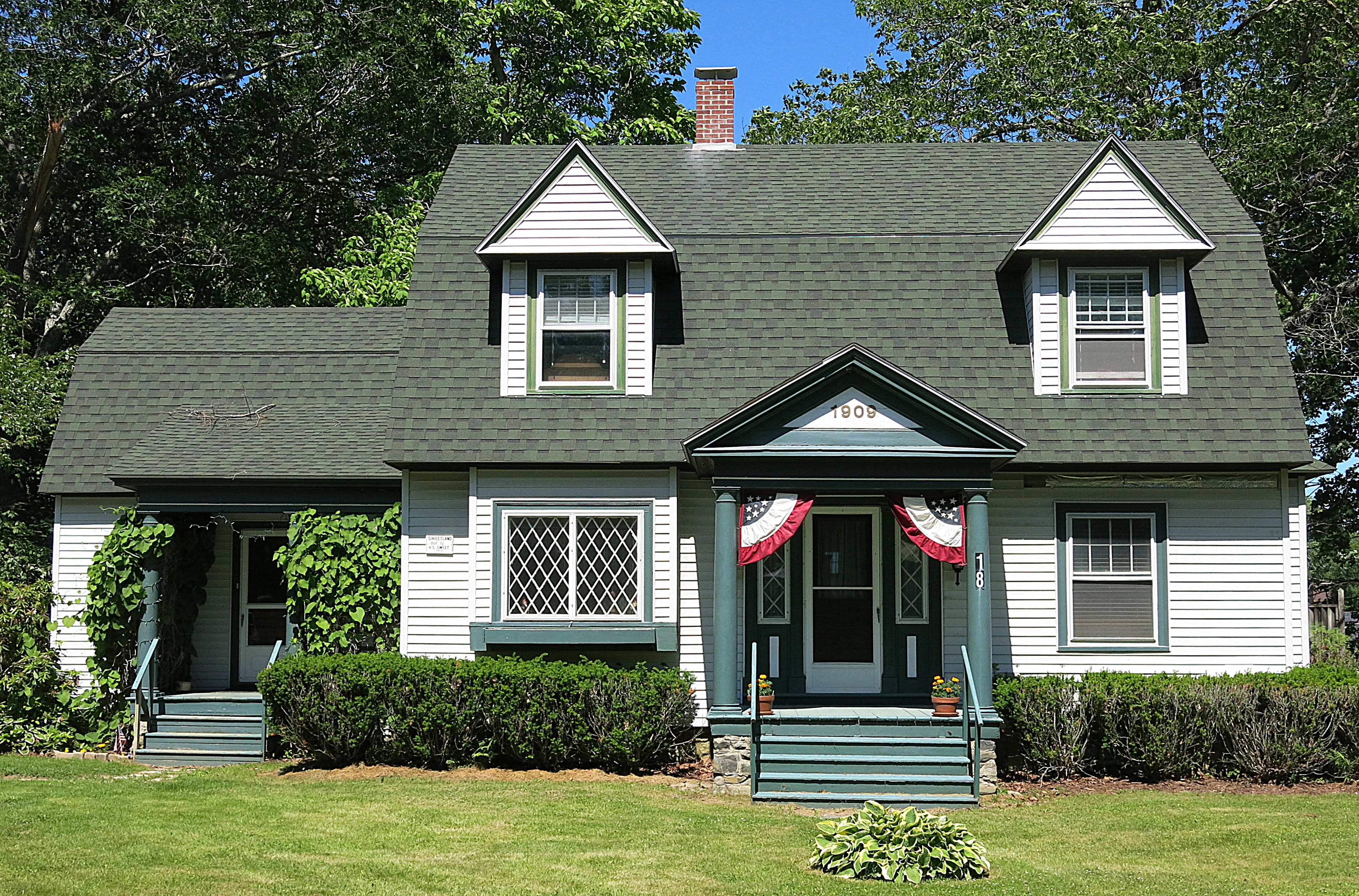
1909: A house in Blue Hill, Maine, USA
Thresholds sunset - Little Deer Isle ME 20090711 054
light sunset fall field yellow fence shadows maine september harborside 2012 caperosier
Warm Light
Thresholds sunset - Little Deer Isle ME 20090711 050
Van Buren's - Little Deer Isle ME 20090714091
Thresholds sunset - Little Deer Isle ME 20090721 077
Thresholds - Little Deer Isle ME 20090720 550
Thresholds sunset - Little Deer Isle ME 20090711 041
Thresholds sunset - Little Deer Isle ME 20090711 055
park light usa lighthouse america point state fort united maine springs states stockton
Fort Point Light