Elevation of 25 Gamble Way, St Leonards VIC, Australia

Location: Australia > Victoria > Greater Geelong City > Saint Leonards >

Longitude: 144.710496

Latitude: -38.167397

Elevation: 15m / 49feet

Barometric Pressure: 101KPa

Elevation Map:

elevation map of 25 Gamble Way, St Leonards VIC, Australia

Satellite Map:

Satellite map of 25 Gamble Way, St Leonards VIC, Australia

Related Photos:

pier pointlonsdale portphillipbay victoria australia
Under the pier at Point Londsdale...
portphillipheads portphillipbay pointlonsdale pointnepean victoria australia drone aerial djimavicproplatinum clouds sky blue yacht view across heads point nepean from lonsdale
Hazy distance
welcomeswallows hirundoneoxena portarlington famousflickrfivegroup bellarinepeninsula victoria australia
Balancing Act!
pointlonsdale victoriaaustralia pier theheads portphillipbay pointnepean clouds sea sky blue
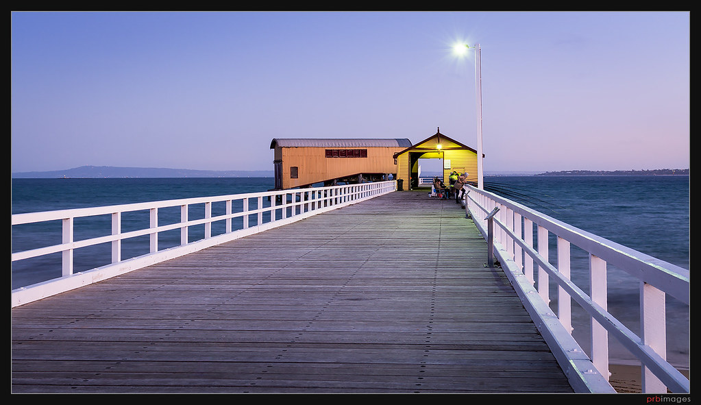
View along a long pier
lighthouse day australia victoria clear portphillipbay bassstrait explore100 therip queenscliffobservationtower
View from the Queenscliff Observation Tower
blue red sky white film sign jack holga lomo lomography scan giveway queenscliff railwaycrossing 2tracks hpc5380
Give Way
bunkers military defences artillery observation fortnepean pointnepeannationalpark morningtonpeninsula bw blackandwhite monochrome hilltop coastaldefences eaglesnestbunkers
Eagle's Nest
landscape seascape cheviotbeach headland rockypoint view vista sea bassstrait rocks observationpost artillery defence fortifications cheviothill haroldholt militaryproperty coastalvegetation pointnepeannationalpark portsea
Cheviot Hill View
bw storm beach waves youyangs portarlington 2870mm sonya7r
Storms Are Coming
20190624_123240 Walking track
stgeorges queenscliff
Queenscliff from St Georges
stgeorges queenscliff
Queenscliff from St Georges
stgeorges queenscliff
Queenscliff from St Georges
stgeorges queenscliff
Queenscliff from St Georges
juvenilepacificgull laruspacificus stleonards bellarinepeninsula victoria australia beach waves
Juvenile Pacific Gull
australianpelican pelecanusconspicillatus stleonards bellarinepeninsula victoria australia abctvweathernews
Coming into land!
ocean australia victoria hdr queenscliff anawesomeshot
By the light
sea seascape beach landscape bay waves melbourne driftwood morningtonpeninsula portsea portphillip pointlonsdale theheads pointnepean therip quarantinejetty
Portsea: View To The Heads
bunker concrete artillery observation defence hilltop cheviothill portsea bassstrait seascape landscape pointnepeannationalpark hdr
Portsea Fortifications: Looking Out
jetty pylons remnants timber beach observationpoint portphillip portsea morningtonpeninsula bay sea calm 1879
Cattle Jetty - Quarantine Station
seascape storm australia olympus victoria stleonards omd portphillipbay em5
west side
cliftonsprings victoria australia au fujifilmfinepix pointshoot sunrise morning
another sunrise
fujifilmfinepix bridgecamera cliftonsprings victoria au australia sunset bellarinepeninsula portphillipbay geotagged
Blue Sunset
fujifilmfinepix cliftonsprings geelong bellarine victoria australia au
sunset hues
ocean light sky seascape color nature water sunrise landscape pier australia coastal bluehour ptlonsdale grandrapidsphotographer detroitphotographer michiganphotographer oceangrovephotographer barwonheadsphotographer
Pt Lonsdale Pier, Vic Australia at dawn
storm clouds geotagged pier long exposure ruin geelong outerharbour bellarine cliftonsprings geo:lat=3815514190041689 geo:lon=14455088255320356
Outer Harbour
pier jetty ocean water bay night queenscliff victoria australia landscape seascape dusk evening outdoor sea
Queenscliff Pier
wood light sunset summer sky sun lighthouse seascape history beach lines backlight clouds buildings landscape evening coast solar pier wooden shadows bright outdoor path jetty dunes australia victoria coastal shore wharf rails historical goldenhour portphillipbay pointlonsdale bellarine
Point Lonsdale Jetty
sea sky beach pointnepean
Point Nepean
ocean wood sunset sea sky panorama cloud lighthouse white seascape building water lines yellow clouds landscape golden evening coast pier wooden dusk jetty dunes australia victoria coastal shore wharf beacon shrubs hdr goldenhour portphillipbay pointlonsdale exposureblending bellarine
Light Source
australia melbourne morningtonpeninsula pointnepean canon1635l canoneos6d
The Narrows 2015-03-01 (IMG_6952)
sky beach clouds waves afternoon pointnepean
Late afternoon, Point Nepean
sea seascape water australia olympus victoria stleonards omd portphillipbay em5
light-guard
pier jetty victoria morningtonpeninsula remnants piles quarantine portsea observationpoint portphillip tonemapped quarantinestation pointnepeannationalpark cattlejetty
Cattle Jetty At Observation Point
australia queenscliff pointlonsdale
Point Lonsdale 2013-08-18 (IMG_1349-51)
sunset sea portrait selfportrait seascape me water clouds digital self canon geotagged eos rebel rocks victoria rays colourful hdr xsi geelong sigma1020mm 3xp cliftonsprings 450d digitalrebelxsi lushaki luketscharke geo:lat=38152685 geo:lon=144562311
last look back
ocean blue trees light sunset sea sky lighthouse seascape beach water yellow wall clouds landscape coast sand rocks outdoor dunes australia victoria coastal shore bushes beacon shrubs hdr pointlonsdale exposureblending bellarine
Light my Way
sunset cloud beach architecture landscape pier horizon perspective australia melbourne victoria porn dreamy greatoceanroad hdr piles urbanlandscape geelong queenscliff 墨爾本 curlewis 澳大利亚 墨尔本 bellarinepeninsula 澳大利亞 pvtphotography pvtinc cliftonspring preservedpilesofcliftonspring cliftonspringpier
Remains of the Clifton Springs Pier
landscape frameinaframe fortnepean enginehouse interior exterior view nepeanbay architecture fortifications brick door sea headland sunshine morningtonpeninsula victoria military portphillip
Engine House, Point Nepean