Elevation of 12 Ward St, St Leonards VIC, Australia
Location: Australia > Victoria > Greater Geelong City > Saint Leonards >
Longitude: 144.707851
Latitude: -38.177304
Elevation: 9m / 30feet
Barometric Pressure: 101KPa
Elevation Map:
Satellite Map:
Related Photos:

Juvenile Pacific Gull

Coming into land!

Light and Surf

Hazy distance

View from the Queenscliff Observation Tower

Under tow

Engine House, Point Nepean

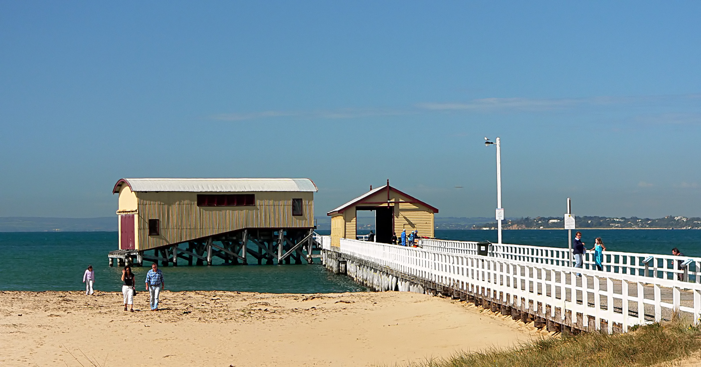
Floating Pier
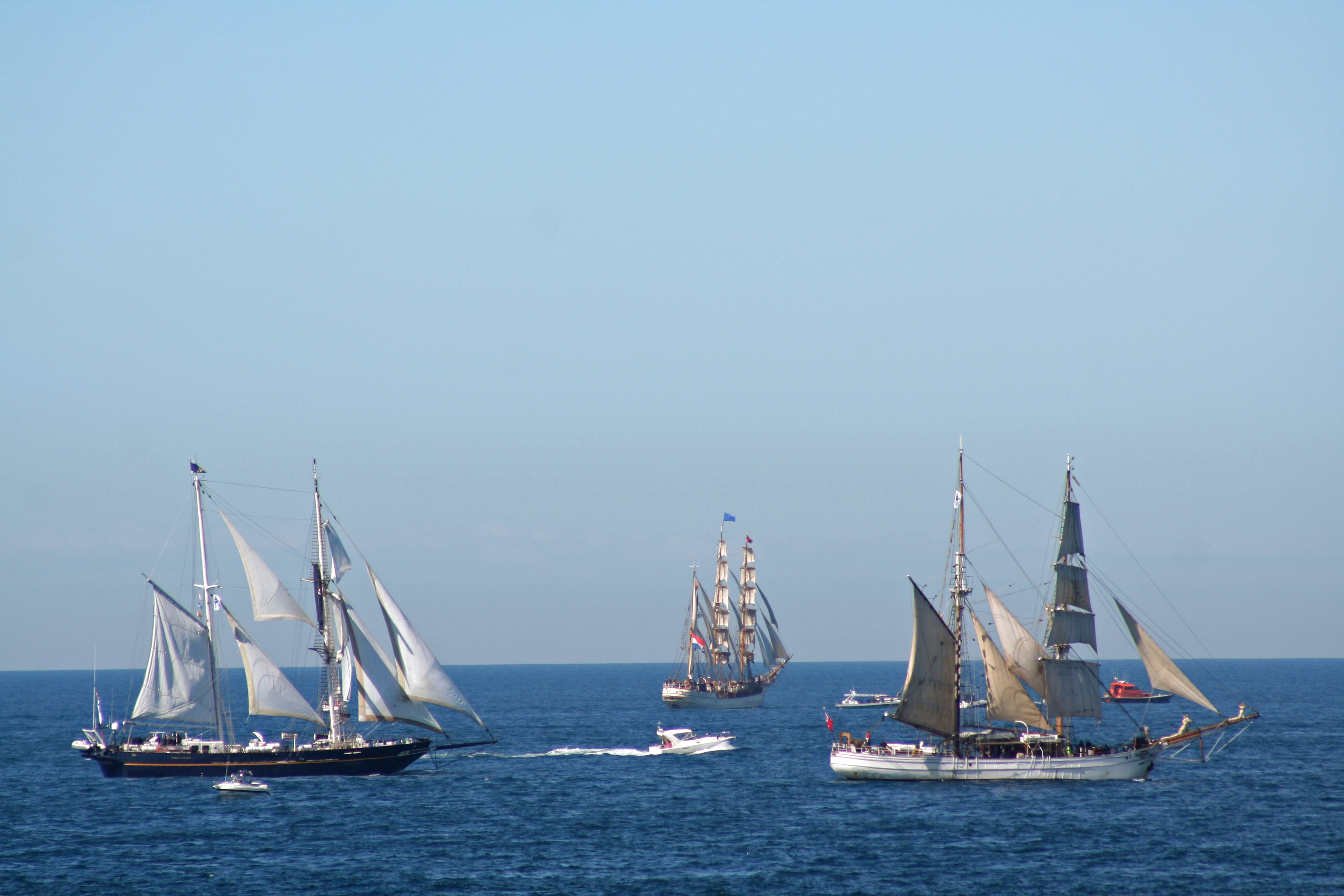
20130915_1792 three ships and the pilot

Storms Are Coming

Atop the *actual* Queen's cliff. And a view across to Point Nepean, the other side of Port Phillip Bay

Under the pier at Point Londsdale...

Balancing Act!

View along a long pier

By the light

Portsea: View To The Heads

Portsea Fortifications: Looking Out

Cattle Jetty - Quarantine Station

west side

Give Way

The Long View

another sunrise

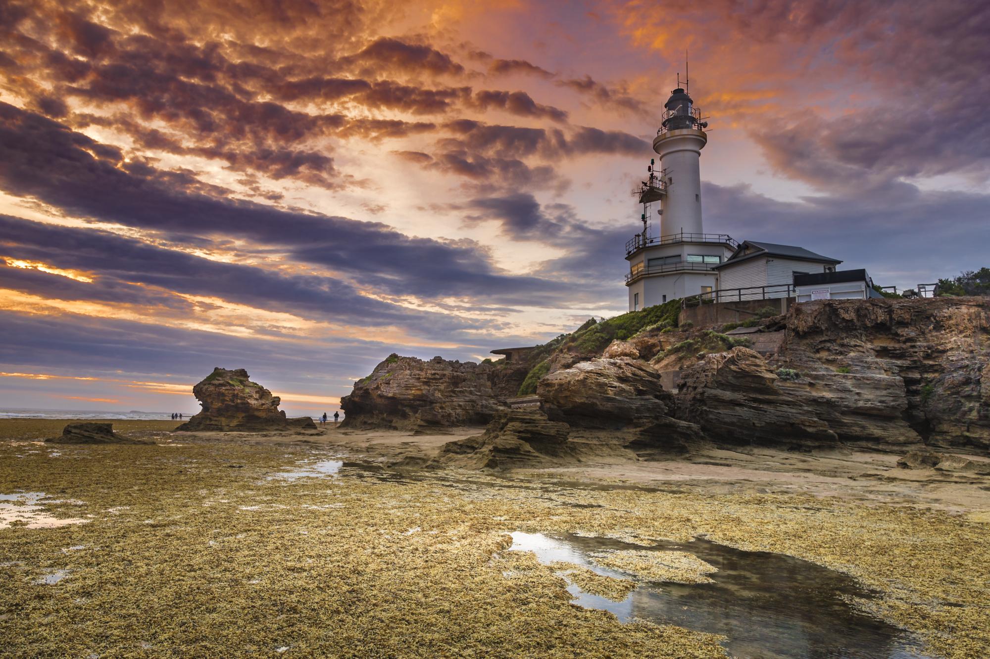
To the lighthouse

Listen to the morning sunshine

Good day sunshine

Cheviot Beach

Clifton Springs 2015-01-17 (IMG_5610)

sunset hues

Cheviot Beach

Perspective in Pier

Pier walkers

Dark and glimmery sunset type pic

Shelley Beach Sunset
Looking towards Point Nepean, from Point Lonsdale
Point Lonsdale naked...

Point Nepean & Port Philip Bay, Australia

Pt Lonsdale Pier, Vic Australia at dawn
The Queenscliff Pier and Lifeboat Complex

portsea huts
Topographic Map of 12 Ward St, St Leonards VIC, Australia
Find elevation by address:

Places near 12 Ward St, St Leonards VIC, Australia:
2 Edith Ct
5 Edith Ct
1 Cole St
13 Old St Leonards Rd
12 Seachange Way
51 Ward St
52 Dudley Parade
47 Bluff Rd
16 Dudley Parade
25 Gamble Way
103 Bluff Rd
10 Harvey Rd
2 Second Ave
37 Wattlehill Grove
11 Bell Parade
Saint Leonards
27 Wattlehill Grove
26 Beach Rd
12 Dune St
411 The Esplanade
Recent Searches:
- Elevation of Corso Fratelli Cairoli, 35, Macerata MC, Italy
- Elevation of Tallevast Rd, Sarasota, FL, USA
- Elevation of 4th St E, Sonoma, CA, USA
- Elevation of Black Hollow Rd, Pennsdale, PA, USA
- Elevation of Oakland Ave, Williamsport, PA, USA
- Elevation of Pedrógão Grande, Portugal
- Elevation of Klee Dr, Martinsburg, WV, USA
- Elevation of Via Roma, Pieranica CR, Italy
- Elevation of Tavkvetili Mountain, Georgia
- Elevation of Hartfords Bluff Cir, Mt Pleasant, SC, USA