Elevation of 25 Ed Moffitt Dr, Sandwich, MA, USA
Location: United States > Massachusetts > Barnstable County > Sandwich > Sandwich >

Longitude: -70.504125

Latitude: 41.7695691

Elevation: 4m / 13feet

Barometric Pressure: 101KPa

Elevation Map:

elevation map of 25 Ed Moffitt Dr, Sandwich, MA, USA
Satellite Map:

Satellite map of 25 Ed Moffitt Dr, Sandwich, MA, USA

Related Photos:

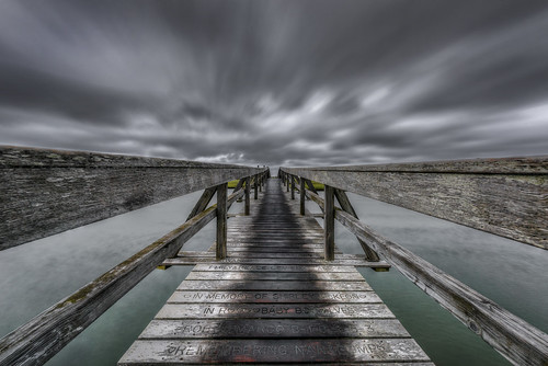
sandwich massachusetts unitedstates boardwalk capecod thecape newengland storm skies cloudy cloudporn longexposure d810 nikon trigphotography frankcgrace sandwichboardwalk wood wooden walk townbeach wideangle hdr highdynamicrange photography pseudo raw
Stormy Skies Over the Sandwich Boardwalk"
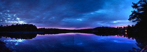
panorama massachusetts plymouth bluehour campcachalot tonemapped photomatixpro 365project fivemilepond cachalotscoutreservation afsdxvrzoomnikkor18200mmf3556gifedii 3652012
307/365 - Five Mile Pond, Kind of Blue
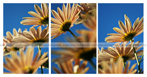
autumn sun flower fall daisies pretty naturallight frombelow daisie
Autumn daisies
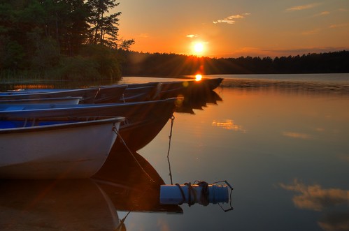
sunset boats pond nikon massachusetts plymouth hdr rowboats photomatix campcachalot 365project d7000 fivemilepond cachalotscoutreservation afsdxvrzoomnikkor18200mmf3556gifedii 3652012
189/365 - Boats at Rest
paintedbunting
Painted Bunting
bird sparrow ipswich songbird ipsp ipswichsparrow ipswichsavannahsparrow
Savannah Sparrow (Passerculus sandwichensis princeps) - Ipswich form - dorsal view
Dinner With a View
sunset water boat hdr cataumet
Red Brook Harbor, Cataumet
3d anaglyph stereo tallship trainingship indonesiannavy kridewaruci massmaritimeacademy opsail2012
Indonesian training ship KRI Dewaruci
water reflections 3d anaglyph stereo tallship puddles rainclouds stormyskies capecodcanal trainingship rainyweather indonesiannavy kridewaruci massmaritimeacademy opsail2012 sunburstthrutheclouds
sunburst thru the clouds shines on the KRI Dewaruci
3d anaglyph stereo tallship rainclouds stormyskies capecodcanal trainingship rainyweather indonesiannavy kridewaruci massmaritimeacademy opsail2012
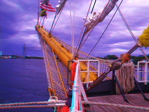
KRI Dewaruci's bow 2
3d anaglyph stereo tallship trainingship indonesiannavy kridewaruci chachamethod massmaritimeacademy opsail2012
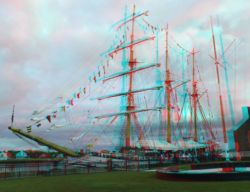
training ship KRI Dewaruci
marina boats harbor capecod sandwich edbrodzinsky
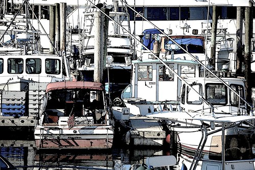
in the harbor. . . .
square squareformat iphoneography instagramapp uploaded:by=instagram
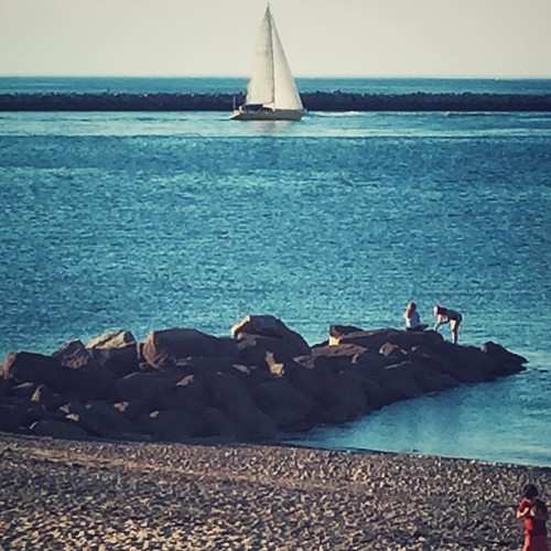
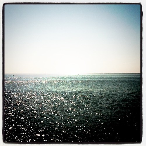
Our view during #dinner last night. #Horizons restaurant at the end of the #CapeCod Canal in #Sandwich #massachusetts #instatraveling #instagram #instalike #capecodlife #bestofcapecod #travel
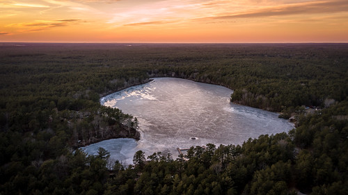
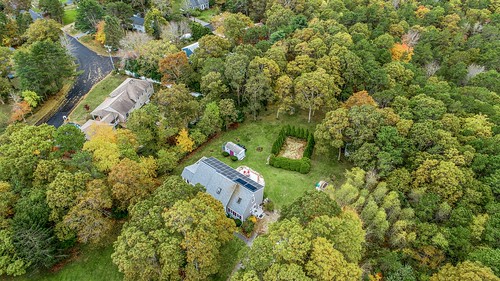
plymouth massachusetts unitedstates us drone fivemilepond campcachalot cachalotscoutreservation pond sunset landscape
A Different View
Monument Beach Re-edit
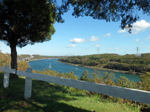
View from Bourne Scenic Highway
bench ma rainyday capecod sandwich greatview sandwichma shawmepond
Front Row Seating
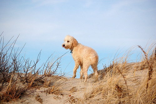
dog beach capecod massachusetts
Atlas checks out the view
nikon raw massachusetts plymouth cranberrybog campcachalot cachalotscoutreservation
Cranberry Bog
longexposure sunset capecod massachusetts buzzardsbay monumentbeach nikond90 nikon1685vr
Monument Beach
beach coast g landscape ocean sand sunset water weather bourne ma usa
Scusset Beach Sunset
uploaded:by=flickstagram instagram:photo=3147368527034997402961908 instagram:venue_name=sandwichmarina instagram:venue=3140565
314736852703499740_296190820121231-21449-zcg6jg
beach camping clouds coast landscape ocean recreation reflection sky sunset water bourne ma usa
Sunset from Scusset Beach Jetty
beach coast landscape ocean sand sunset water weather bourne ma usa
Stormy Sunset
Need A Northbound
Red Light
beach camping clouds coast landscape ocean recreation reflection sky sunset water bourne ma usa
Sunset at Scusset Beach
ocean sea beach nikon sunsets greatphotographers mywinners platinumphoto superaplus aplusphoto platinumheartaward “nikonflickraward” “flickraward” bestcapturesaoi ringexcellence aboveandbeyondlevel1
Golden Sunset
usa storm beach massachusetts unitedstatesofamerica stormy sandwich bonfire soe stormclouds stormyskies blueribbonwinner sandwichma threateningskies stormapproaches eastsandwichbeach theperfectphotographer goldstaraward southfieldestates southfieldestatesneighbors southfieldneighbors southfieldbonfire southfieldgathering neighborhoodbonfire
squall looms above neighborhood bonfire
cute bird grass birds season singing sensitive capecod massachusetts sparrow breeding cape grasshopper mass cod sparrows grassland habitat falmouth grasslands tallgrass territory threatenedspecies grasshoppersparrow breedingseason threatened cutebird ammodramus singingbird capecodmassachusetts breedingbird cutebirds falmouthmassachusetts cranewildlifemanagementarea sensitivehabitat cranewma grasslandhabitat ammodramussparrow onterritory
Grasshopper Sparrow
clouds landscape sandwhich ma usa
Storm over the Water
beach camping coast landscape ocean recreation sunset water bourne ma usa
Scusset Beach Sunset
beach camping coast landscape ocean recreation sunset water bourne ma usa
Scusset Beach Jetty
Sandwich Center at Sunset
SANDWICH CLOUDS TWO NAE
mashnee island monument beach cape code canal dji mavic
Mashnee Island from Monument Beach
usa storm beach massachusetts unitedstatesofamerica stormy sandwich bonfire stormclouds stormyskies sandwichma digitalcameraclub threateningskies stormapproaches eastsandwichbeach therebeastormabrewin southfieldestates southfieldestatesneighbors southfieldneighbors southfieldbonfire southfieldgathering neighborhoodbonfire
mark under threatening skies
Sandyneck Morning
square squareformat lomofi iphoneography instagramapp uploaded:by=instagram foursquare:venue=4354774
En route to Martha's Vineyard
second
22 Galleon (05 of 39)
Crossed Off