Elevation of 21st St, Haleyville, AL, USA
| Latitude | 34.2272559 |
|---|---|
| Longitude | -87.6242871 |
| Elevation | 289m / 948feet |
| Barometric Pressure | 979KPa |
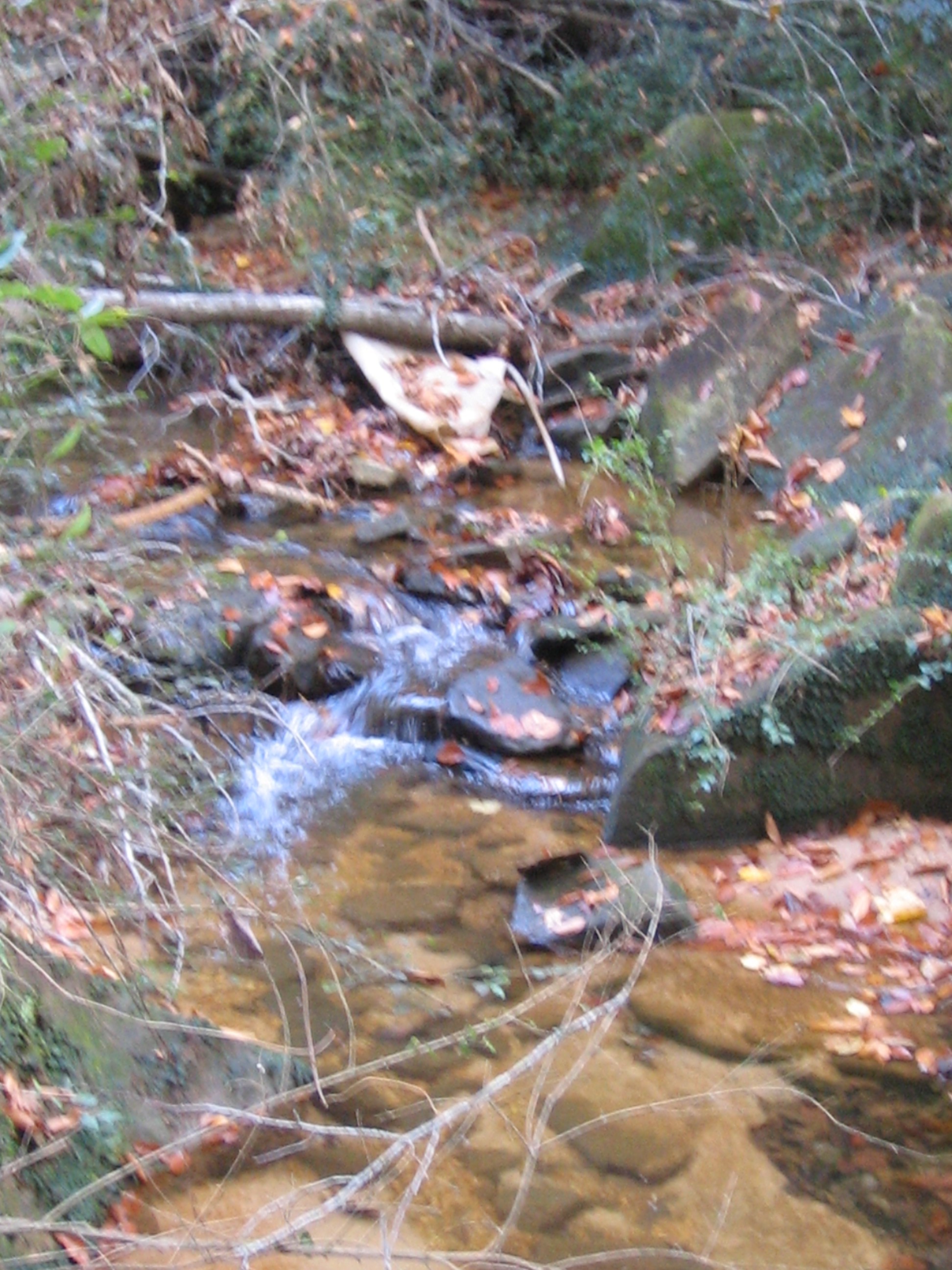
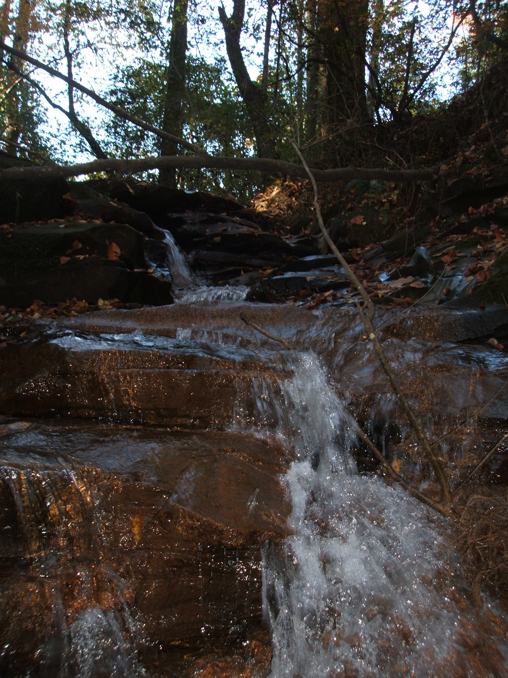
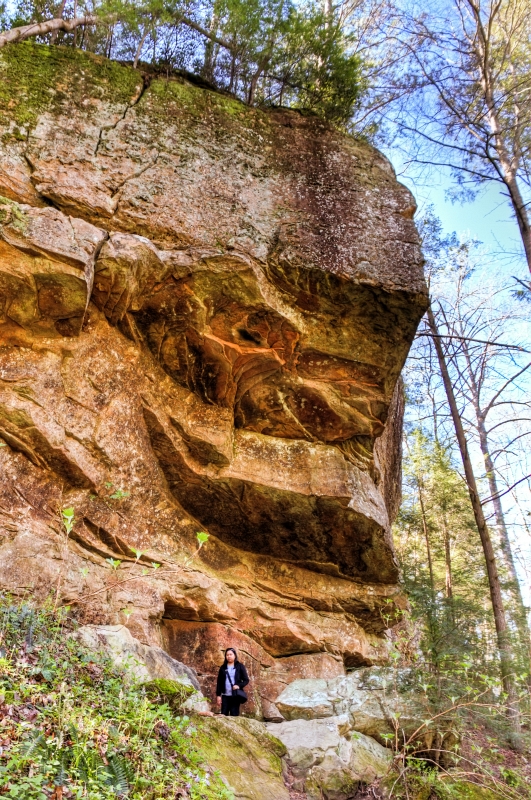
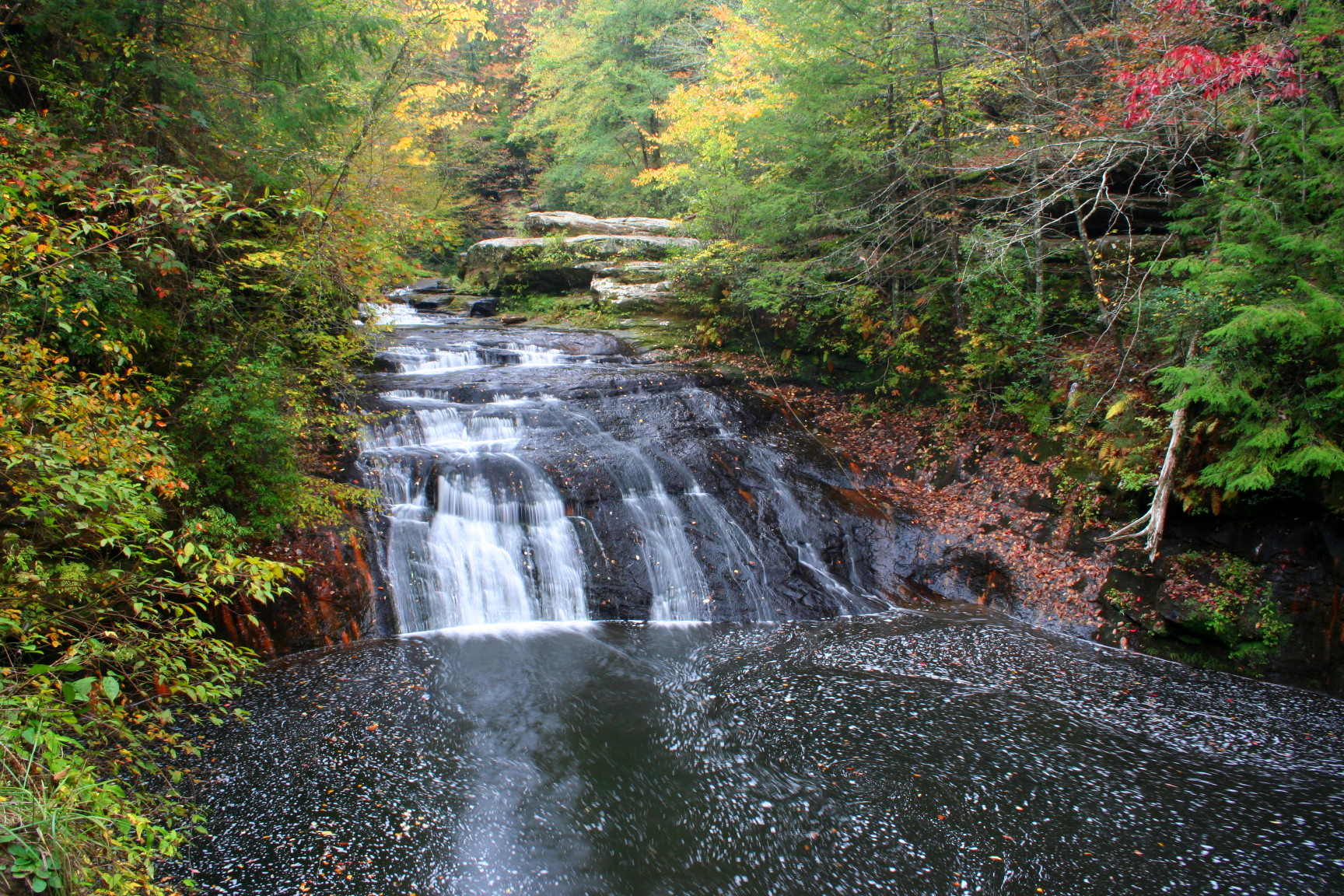
Related Photos:
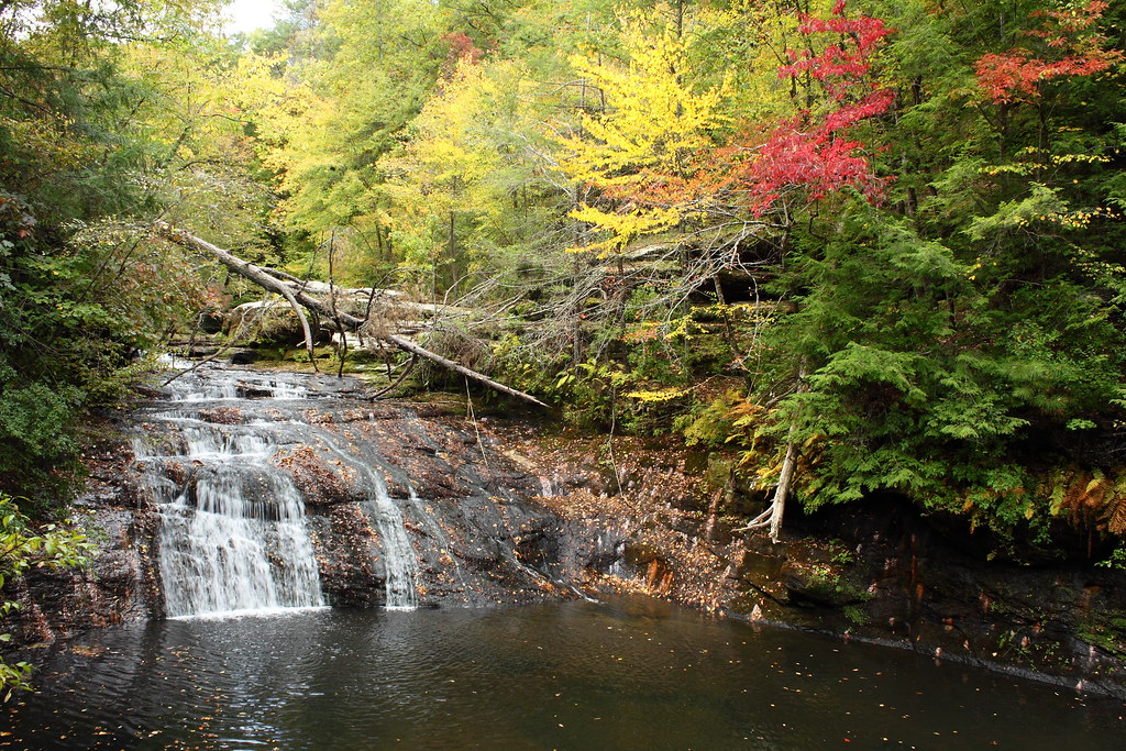
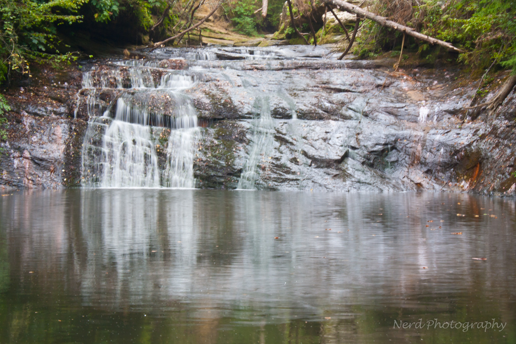
Low flow @ Kinlock Falls
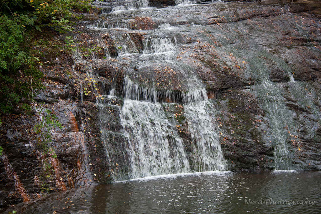
Factory Falls top
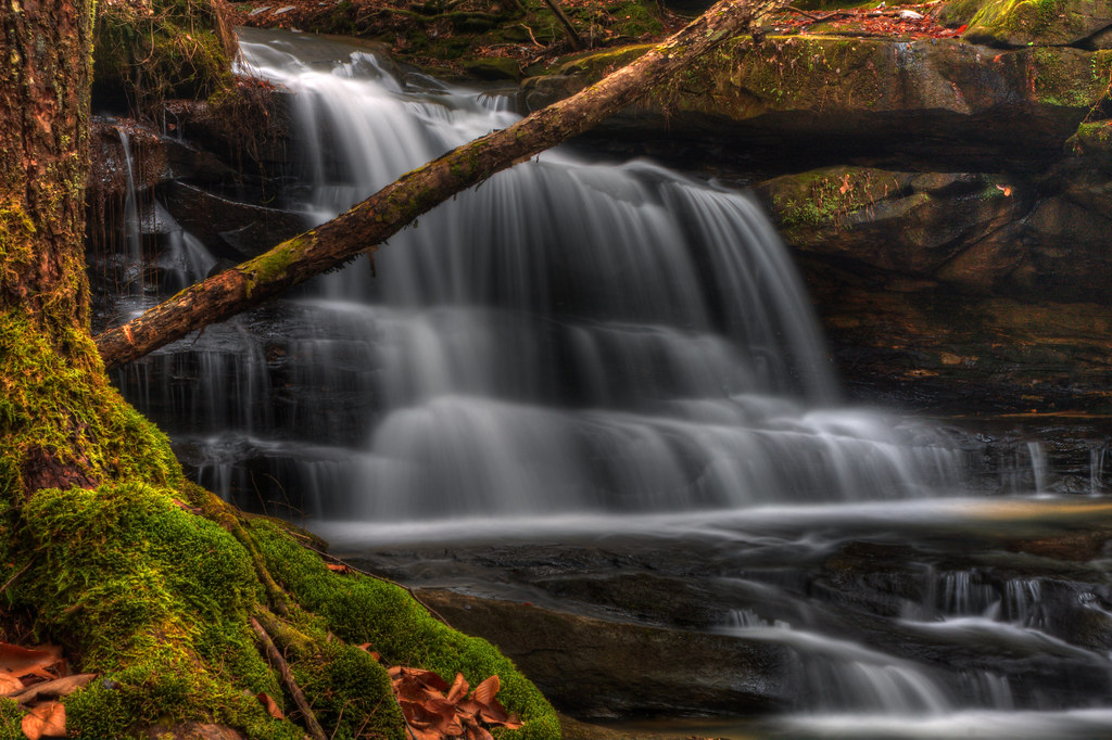
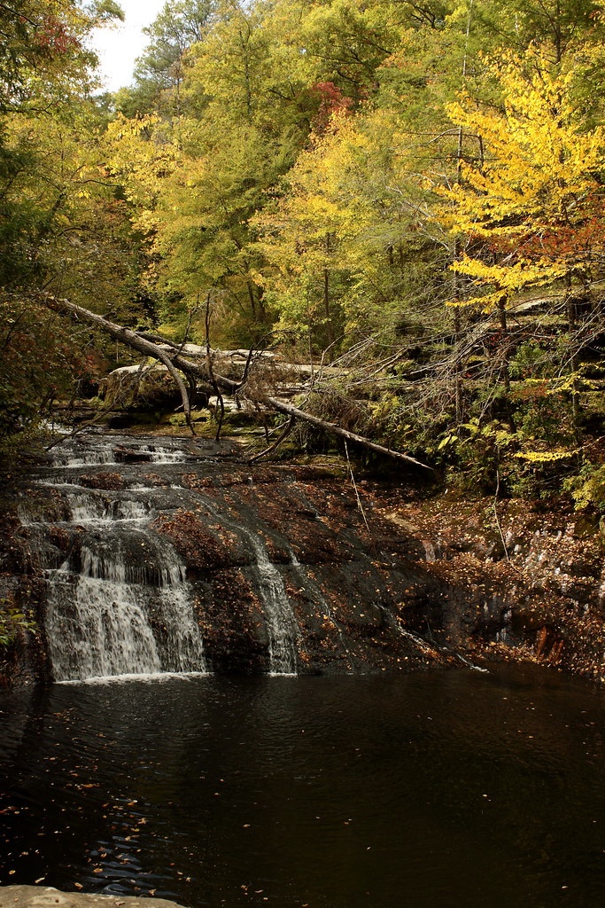
New Year's Eve Fall
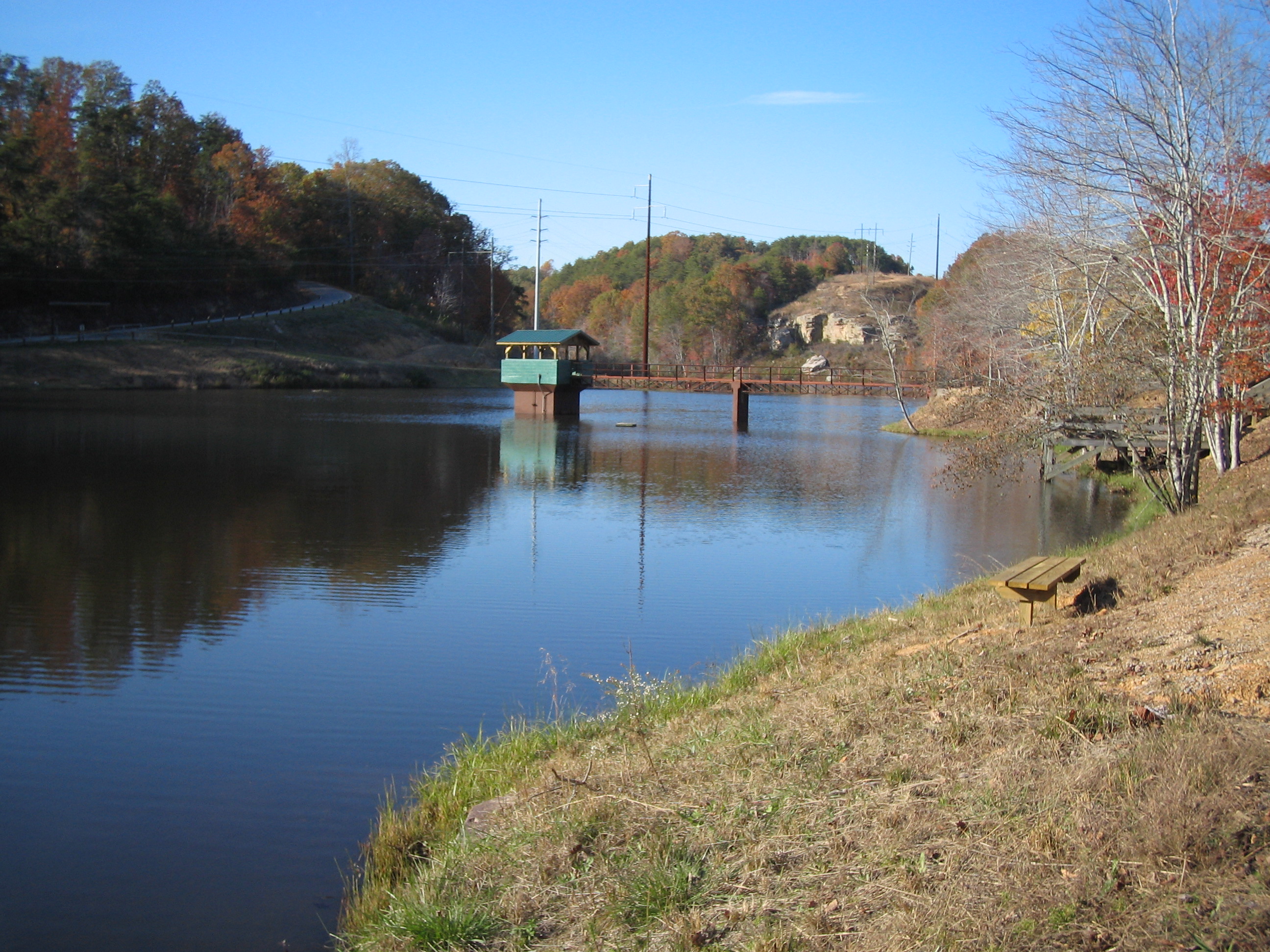
bankhead-4646-344
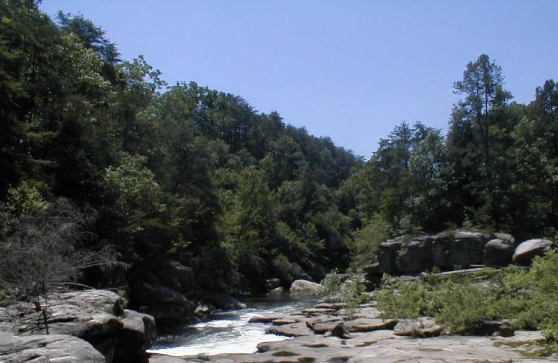
from up there
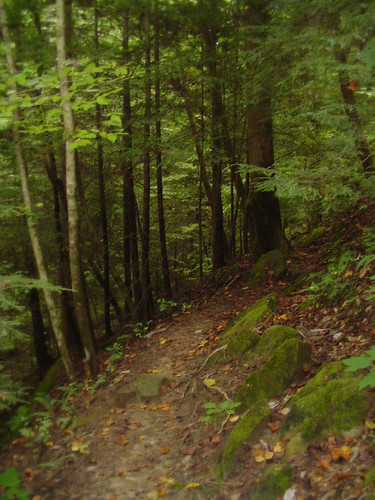
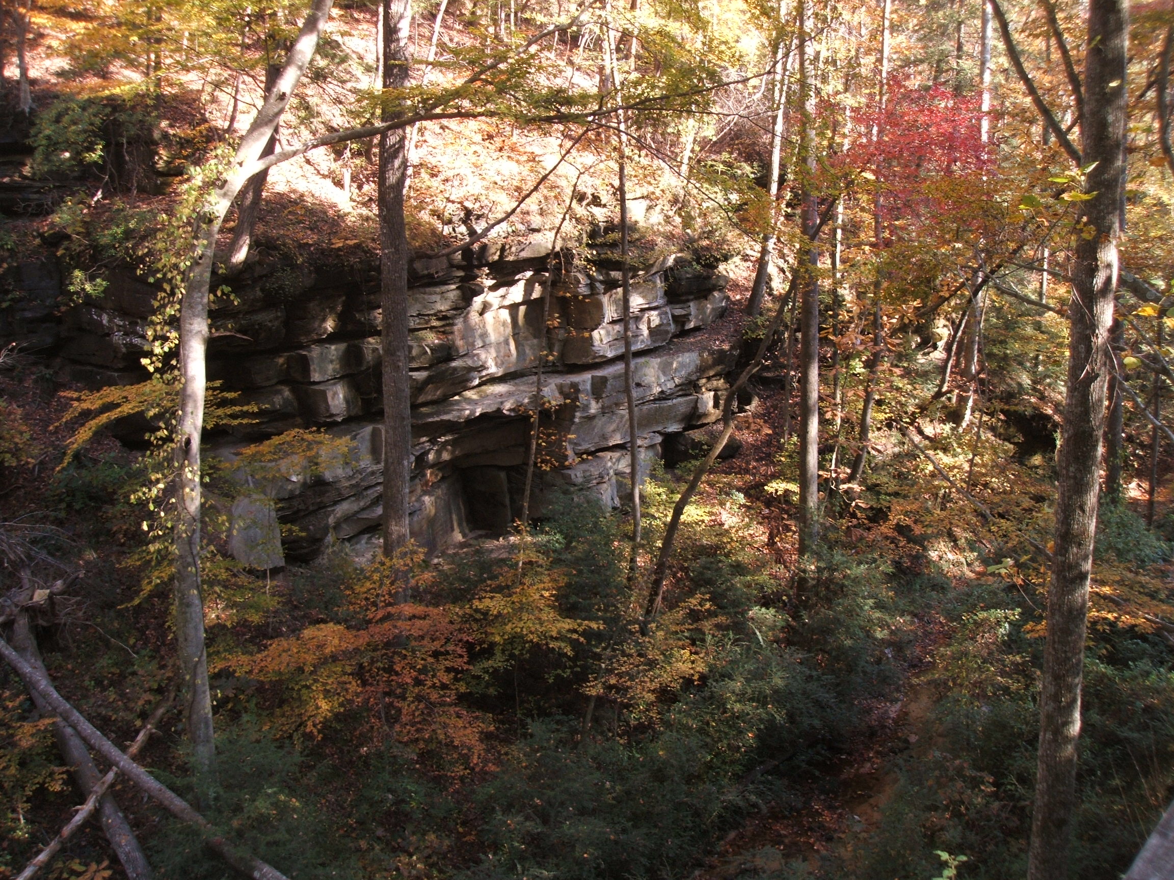
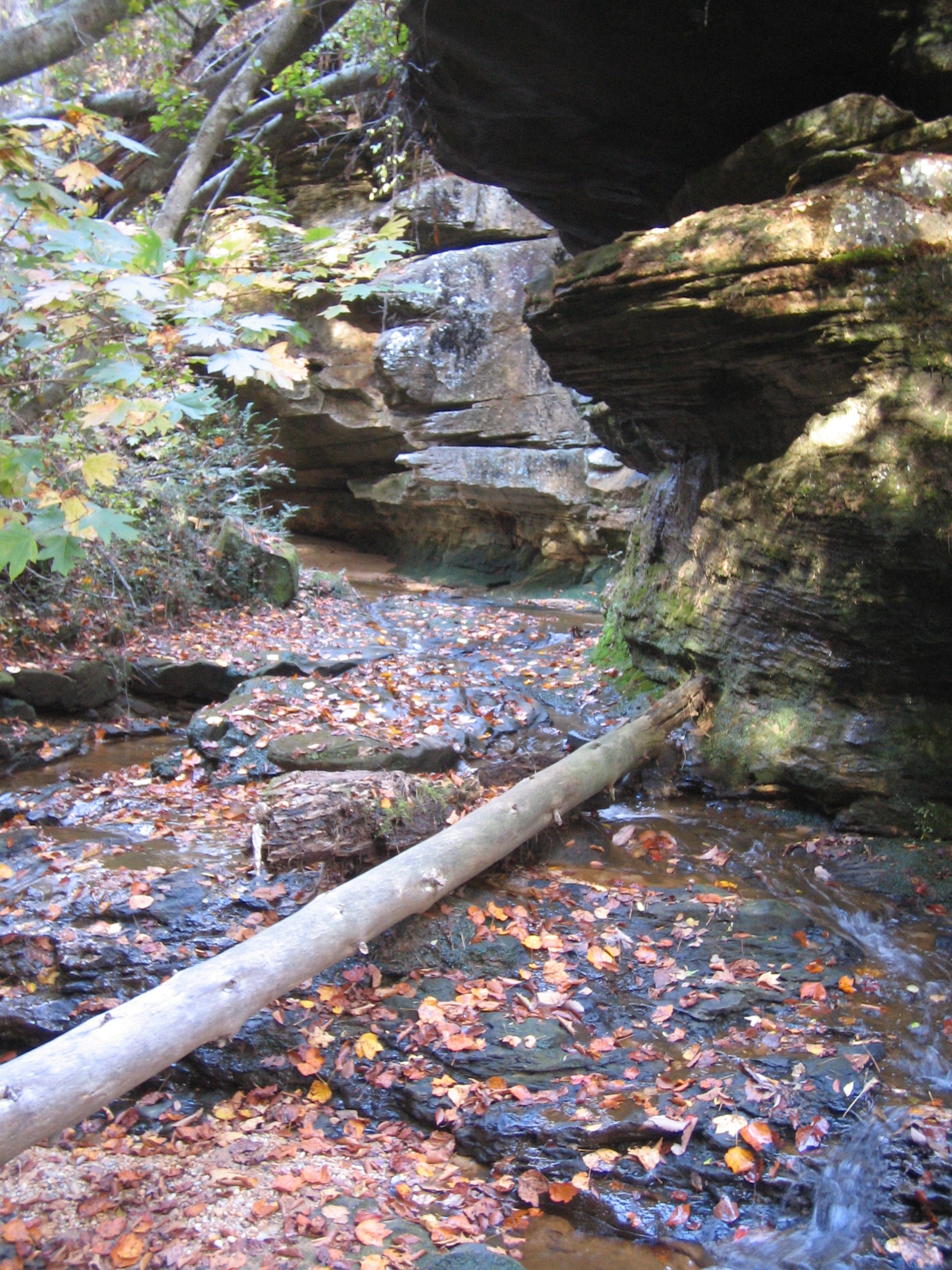
Natural Bridge path
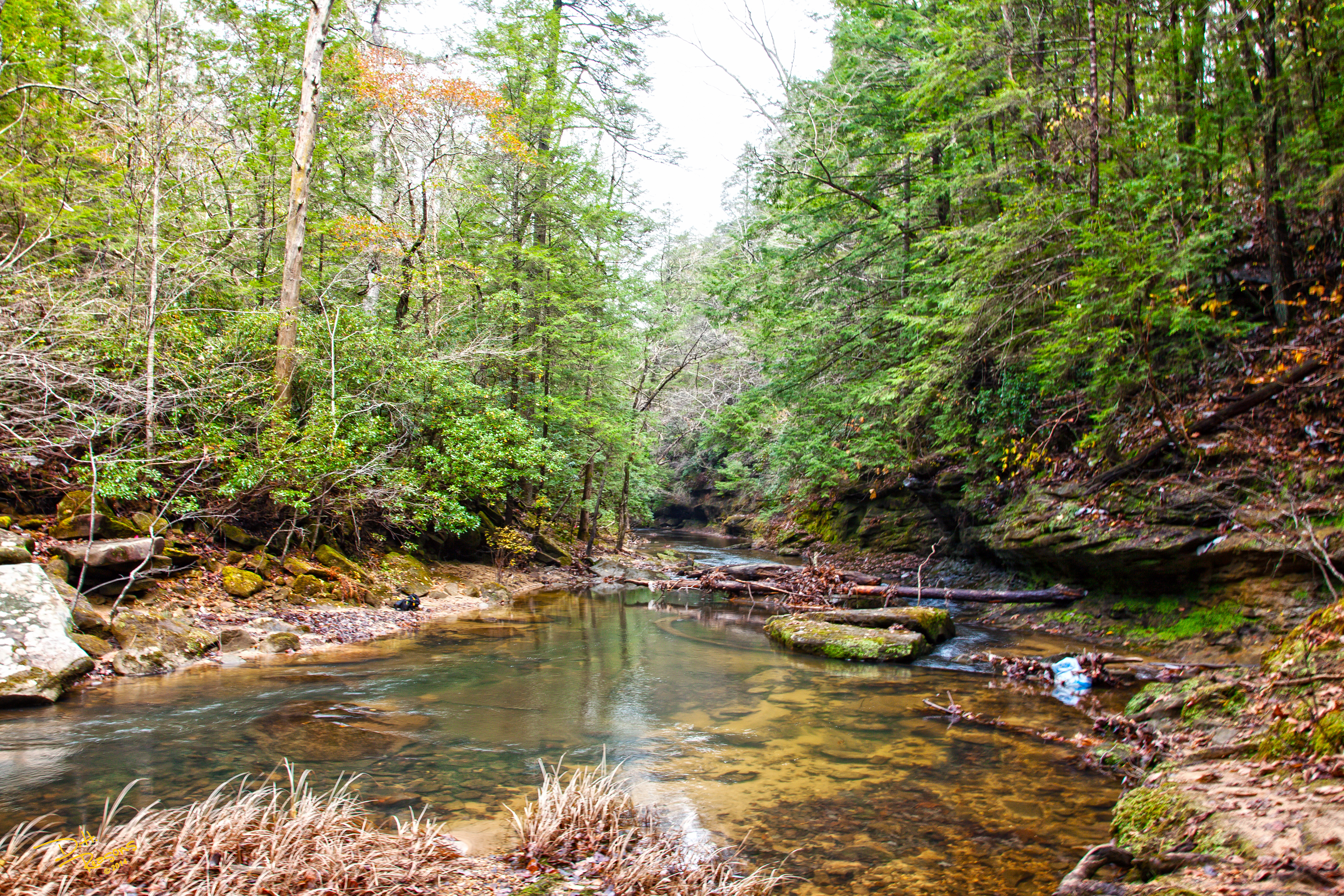
Looking Downstream, Kinlock Falls
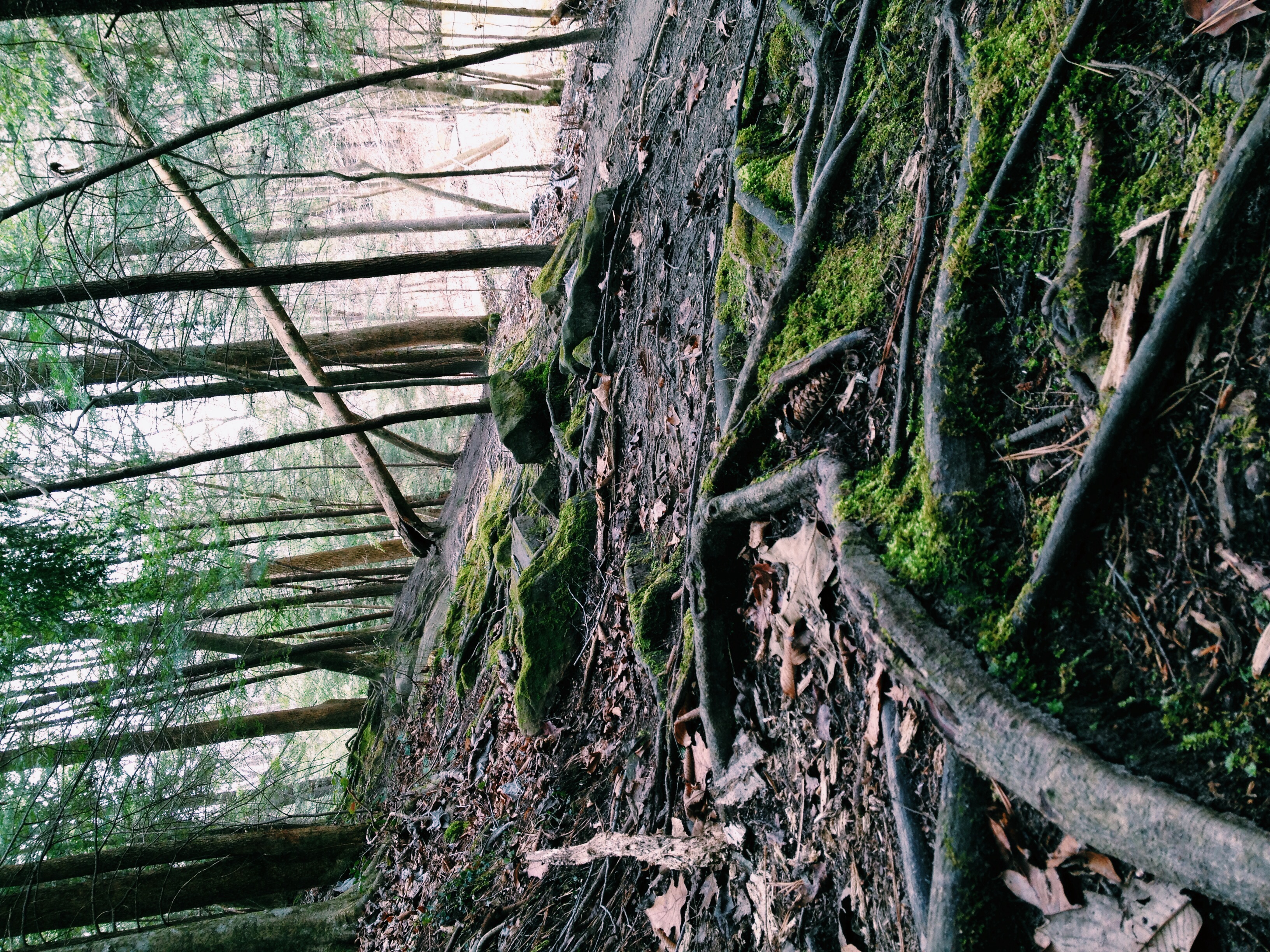
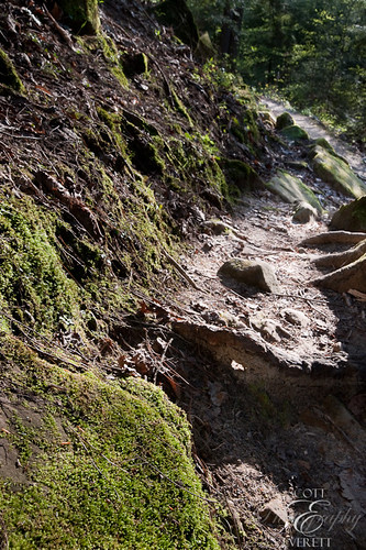
Follow the moss path
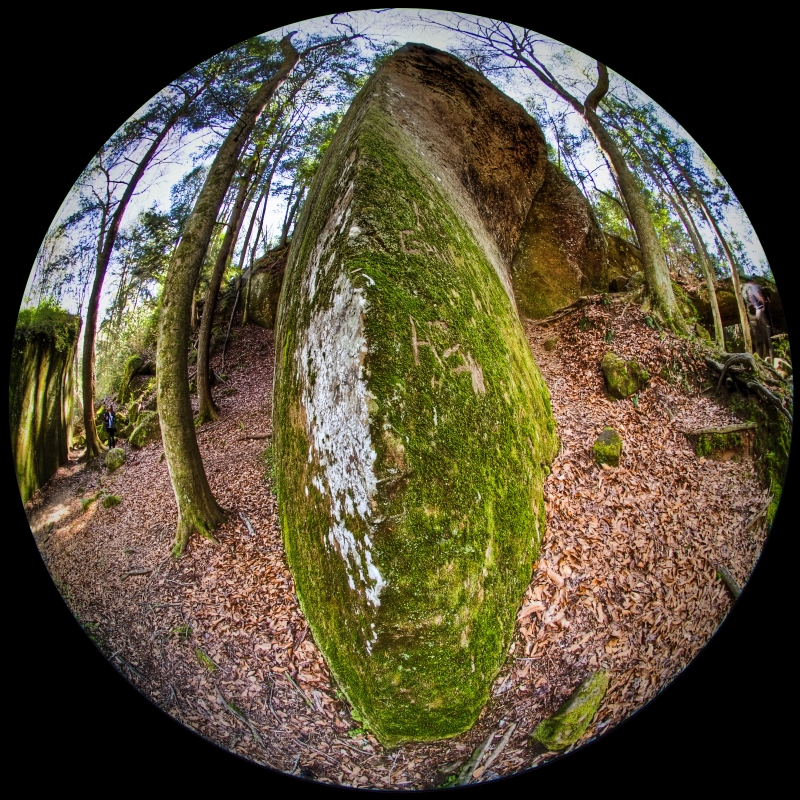
rock knife
IMG_0345-1
IMG_2581.JPG
DSCF0998.JPG
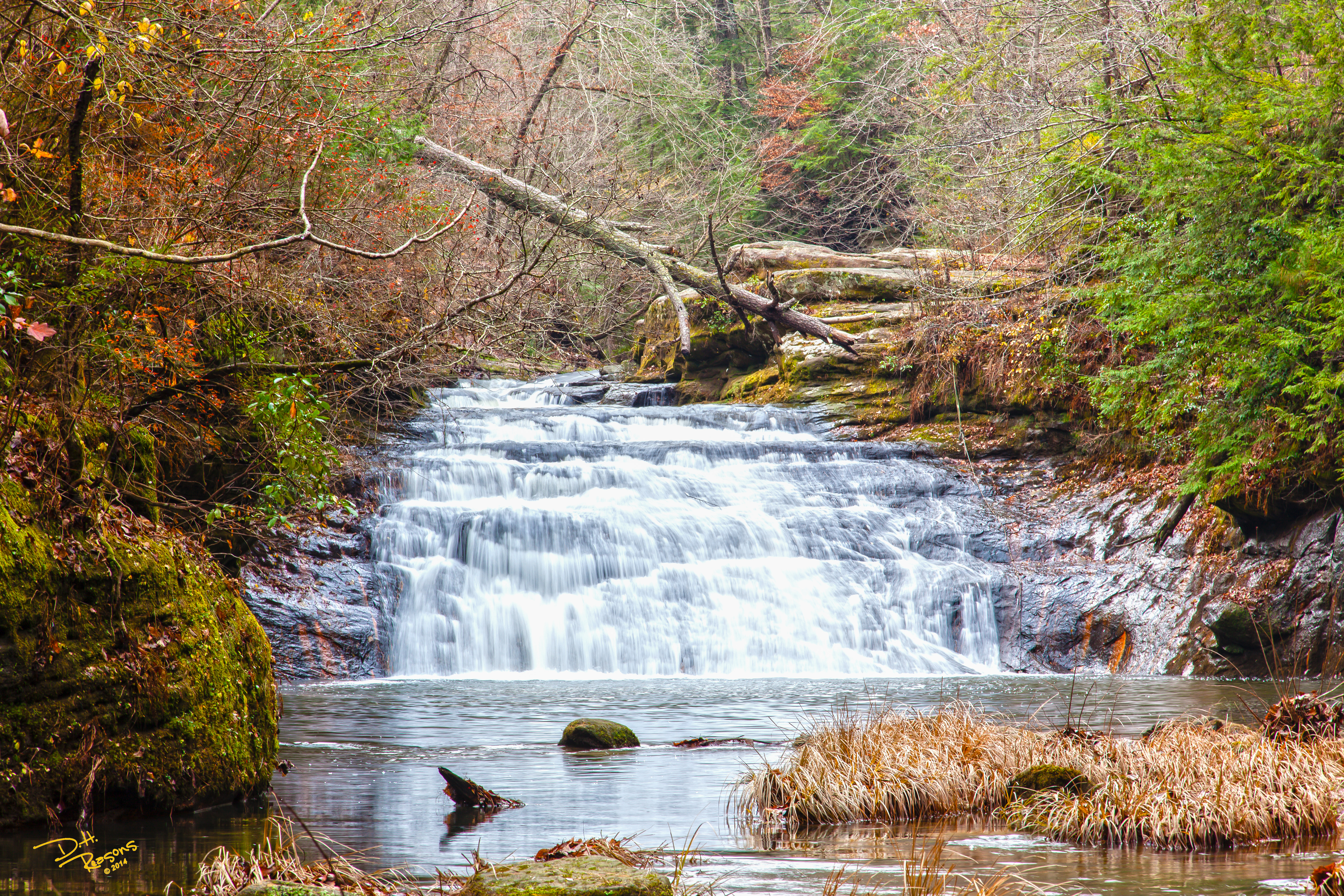
Parker Falls w/o text
IMG_0353-1
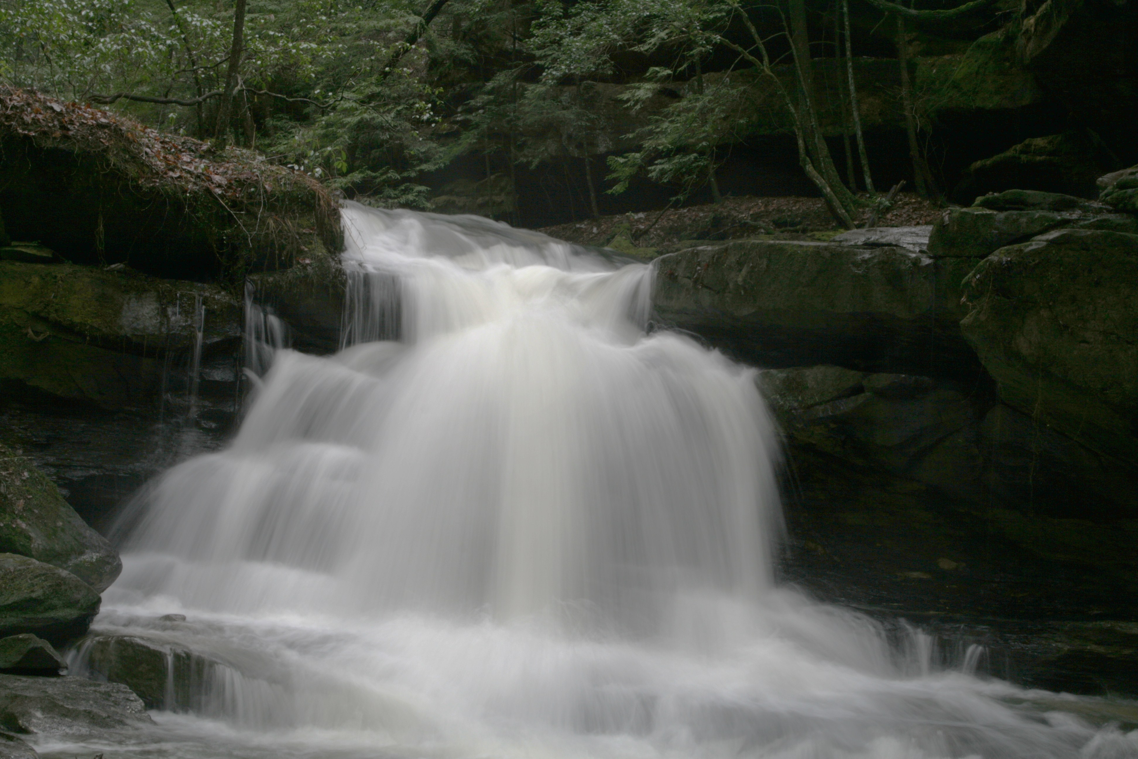
Kinlock Falls
IMG_2567.JPG
IMG_2565.JPG
DSCF1019.JPG
indian face
kinlock falls
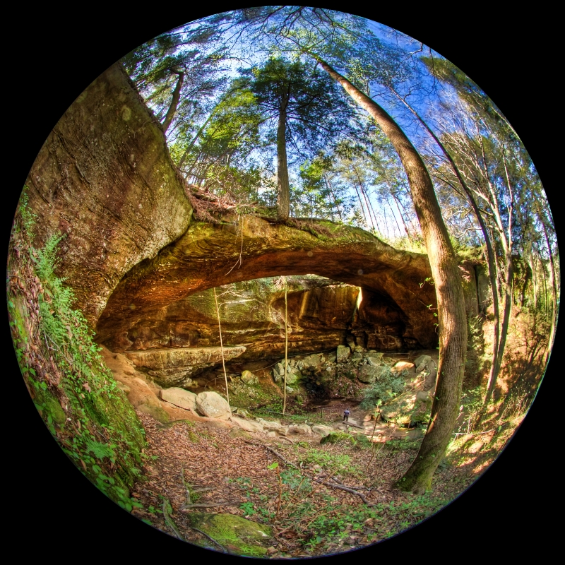
Natural Bridge-11
Topographic Map of 21st St, Haleyville, AL, USA
Find elevation by address:
Places near 21st St, Haleyville, AL, USA:
Haleyville
3rd Ave, Haleyville, AL, USA
12 Birch St
15 Birch St
2575 Co Rd 62
Macedonia Rd, Haleyville, AL, USA
County Rd 11, Haleyville, AL, USA
Moss Dr, Haleyville, AL, USA
1188 Co Rd 19
AL-13, Haleyville, AL, USA
Goddard Rd, Bear Creek, AL, USA
1026 Goddard Rd
1818 Goddard Rd
Bear Creek
531 High Ave
AL-, Bear Creek, AL, USA
Co Rd 12, Hackleburg, AL, USA
578 Tessner Rd
AL-, Bear Creek, AL, USA
Hackleburg
Recent Searches:
- Elevation map of Central Hungary, Hungary
- Elevation map of Pest, Central Hungary, Hungary
- Elevation of Pilisszentkereszt, Pest, Central Hungary, Hungary
- Elevation of Dharamkot Tahsil, Punjab, India
- Elevation of Bhinder Khurd, Dharamkot Tahsil, Punjab, India
- Elevation of 2881, Chabot Drive, San Bruno, San Mateo County, California, 94066, USA
- Elevation of 10370, West 107th Circle, Westminster, Jefferson County, Colorado, 80021, USA
- Elevation of 611, Roman Road, Old Ford, Bow, London, England, E3 2RW, United Kingdom
- Elevation of 116, Beartown Road, Underhill, Chittenden County, Vermont, 05489, USA
- Elevation of Window Rock, Colfax County, New Mexico, 87714, USA
- Elevation of 4807, Rosecroft Street, Kempsville Gardens, Virginia Beach, Virginia, 23464, USA
- Elevation map of Matawinie, Quebec, Canada
- Elevation of Sainte-Émélie-de-l'Énergie, Matawinie, Quebec, Canada
- Elevation of Rue du Pont, Sainte-Émélie-de-l'Énergie, Matawinie, Quebec, J0K2K0, Canada
- Elevation of 8, Rue de Bécancour, Blainville, Thérèse-De Blainville, Quebec, J7B1N2, Canada
- Elevation of Wilmot Court North, 163, University Avenue West, Northdale, Waterloo, Region of Waterloo, Ontario, N2L6B6, Canada
- Elevation map of Panamá Province, Panama
- Elevation of Balboa, Panamá Province, Panama
- Elevation of San Miguel, Balboa, Panamá Province, Panama
- Elevation of Isla Gibraleón, San Miguel, Balboa, Panamá Province, Panama