Elevation of 20 Le Bourg, Ville-Langy, France
Location: France > Bourgogne-franche-comté > Nievre > Ville-langy >
Longitude: 3.4994487
Latitude: 46.9429313
Elevation: 235m / 771feet
Barometric Pressure: 99KPa
Elevation Map:
Satellite Map:
Related Photos:

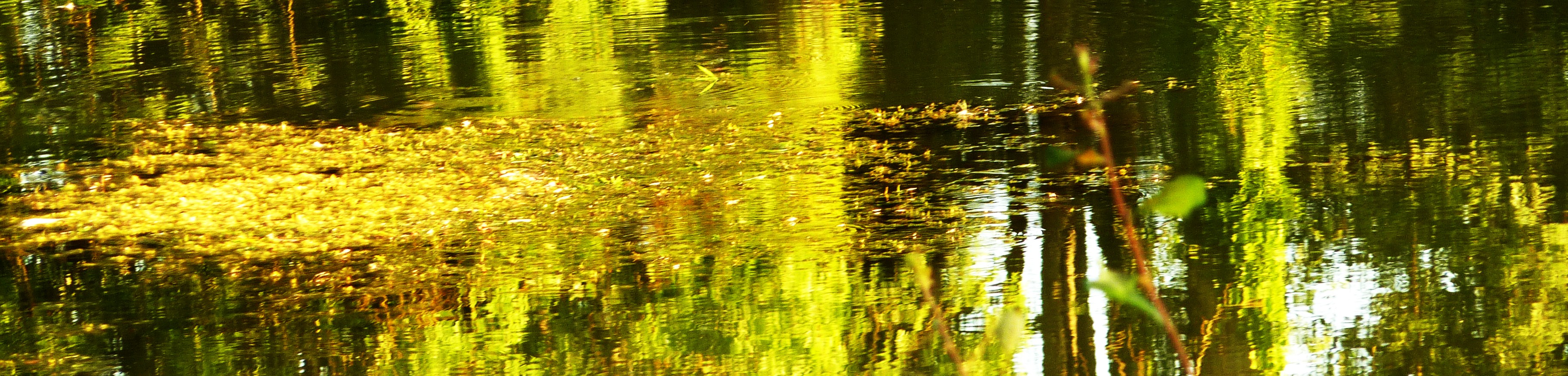
Woody Green

Cottage in Biches, Burgundy, France

Sougy sur Loire
Canal du nivernais

Sunset en France

Etang-de-Fleury-la-Tour
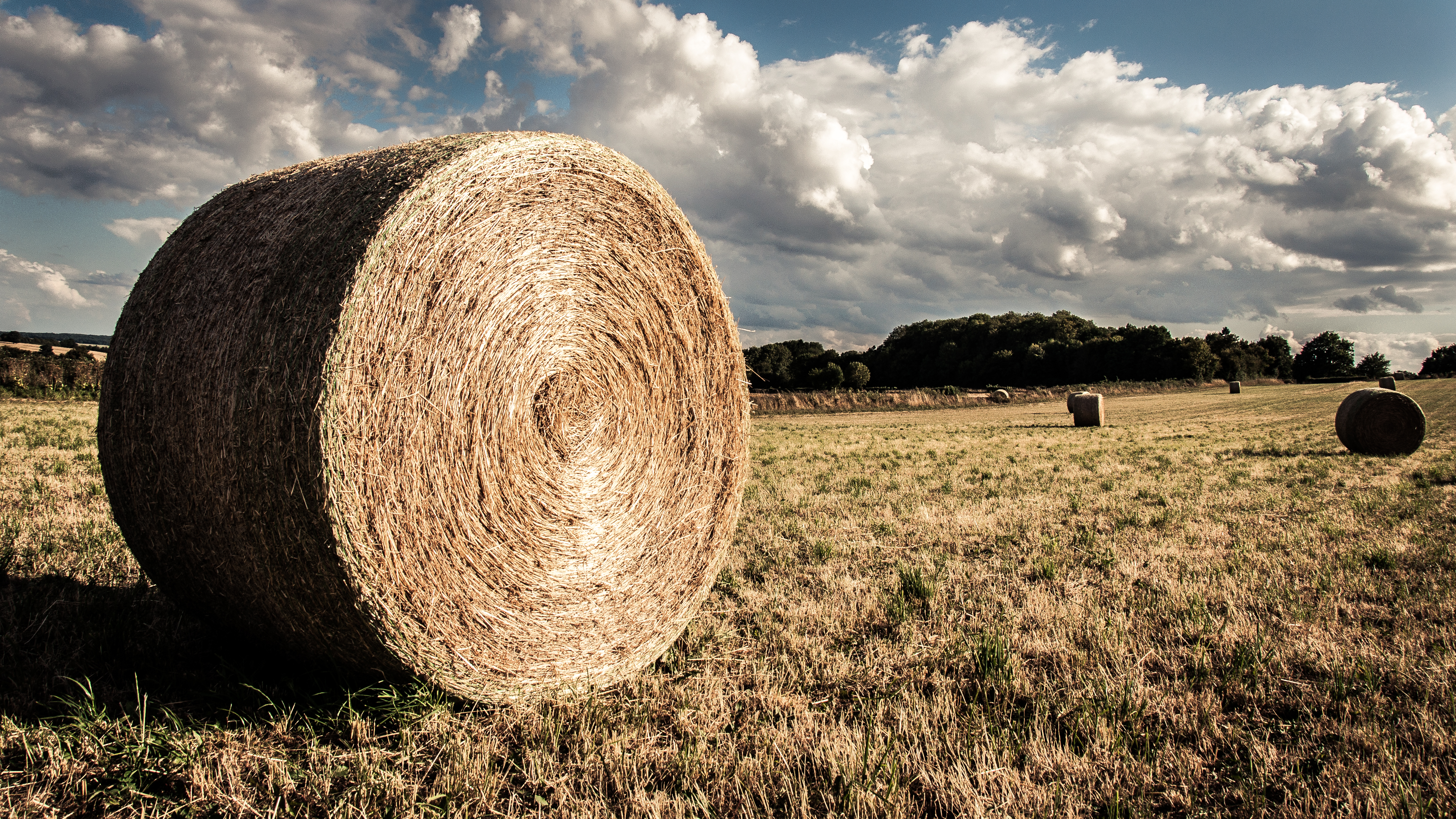
Balle de foin
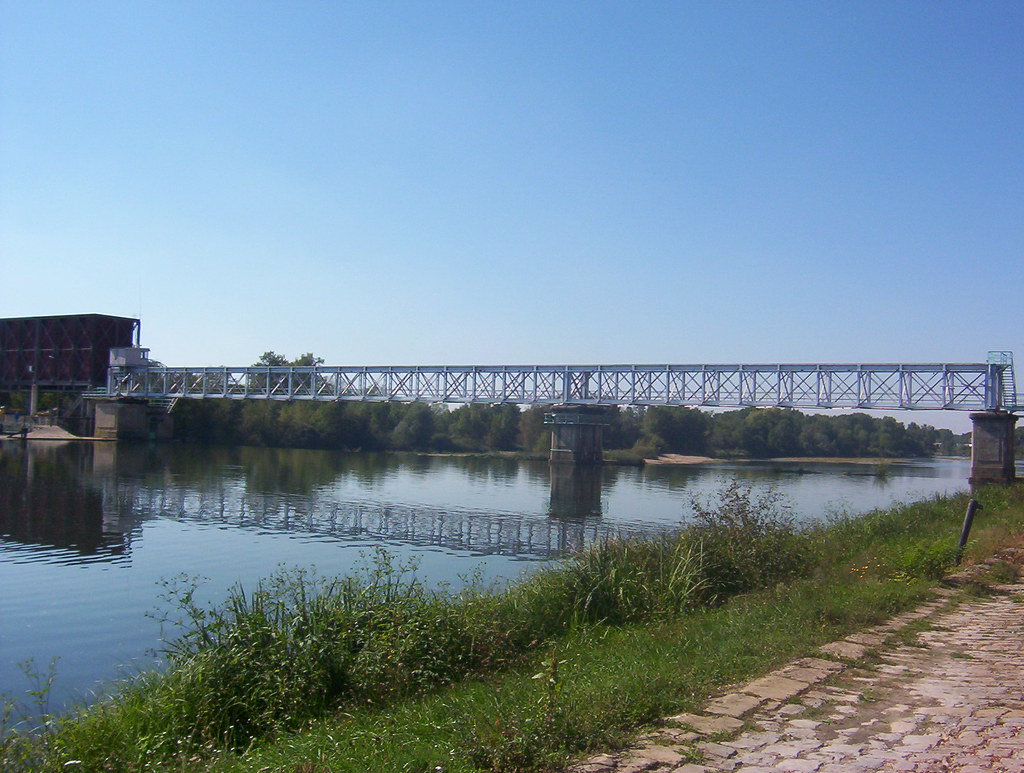
Bridge in St.Lèger-des-Vignes, France

Touteuille/Tintury

2016-08-31_03-26-51

bassin nuit Cercy la tour

bassin Cercy la tour

bassin Cercy la tour

panorama Cercy la tour

Decize bord de Loire
Topographic Map of 20 Le Bourg, Ville-Langy, France
Find elevation by address:

Places near 20 Le Bourg, Ville-Langy, France:
Ville-langy
Cossaye
18 Route de Lamenay, Cossaye, France
1 Domaine de Brisson, Toury-Lurcy, France
Saint-ouen-sur-loire
2 Place de l'Église, Saint-Ouen-sur-Loire, France
Toury-lurcy
Sauvigny-les-bois
Garden Marigny
Moussy
2 Rue de la Mairie, Moussy, France
Nievre
5 Rue de l'Abattoir, Saint-Parize-le-Châtel, France
Saint-parize-le-châtel
Nevers
Circuit Nevers Magny Cours
Lusigny
Boucicaud, Lusigny, France
5 Route des Bourbons, Trévol, France
Trévol
Recent Searches:
- Elevation of Corso Fratelli Cairoli, 35, Macerata MC, Italy
- Elevation of Tallevast Rd, Sarasota, FL, USA
- Elevation of 4th St E, Sonoma, CA, USA
- Elevation of Black Hollow Rd, Pennsdale, PA, USA
- Elevation of Oakland Ave, Williamsport, PA, USA
- Elevation of Pedrógão Grande, Portugal
- Elevation of Klee Dr, Martinsburg, WV, USA
- Elevation of Via Roma, Pieranica CR, Italy
- Elevation of Tavkvetili Mountain, Georgia
- Elevation of Hartfords Bluff Cir, Mt Pleasant, SC, USA