Elevation of 19 Ford Rd, Grady, AL, USA
Location: United States > Alabama > Montgomery County > Grady >
Longitude: -86.080767
Latitude: 32.019016
Elevation: 147m / 482feet
Barometric Pressure: 100KPa
Elevation Map:
Satellite Map:
Related Photos:
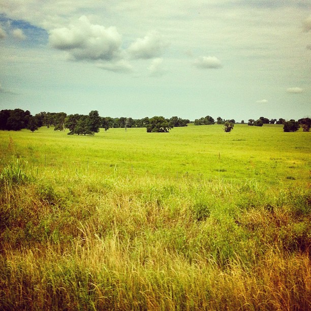
Alabama #fromthecar

Picture Window

Sinclair Gasoline
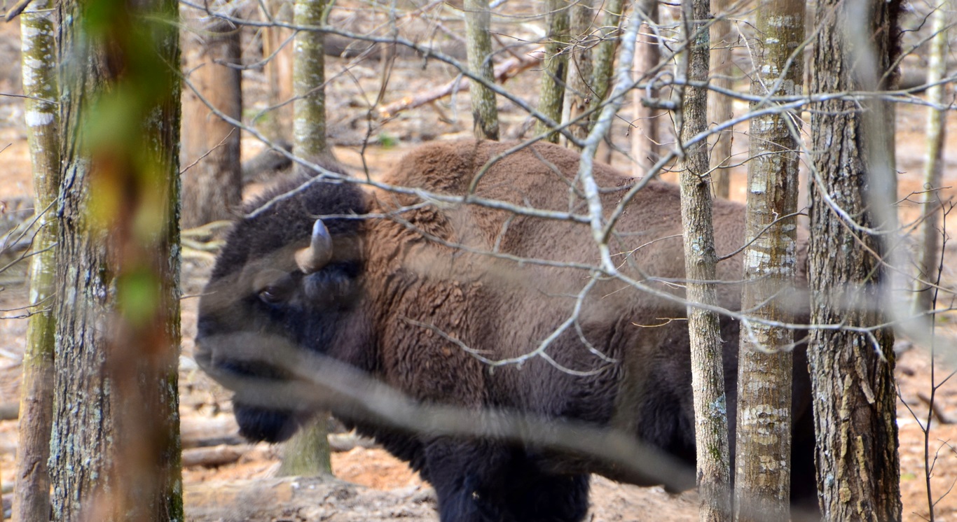
Bison / Bisão

Summer Sunset

Teasley's Pumps

Alabama Country Living

Country Porch Living

Hand Pump

Fishing Hole of Dreams

Jurrasic World

So Mean, He's Growing Hair

Simply Southern Lazy Day

Teasleys of Alabama

Summer Twilight

Summer Evening

Wagon Wheel in B&W

Red Rockers

Cold and windy.. 0__o

#RuhOh raggy ???? (¬_¬) ⊙﹏⊙ ب_ب

Old Time Signs
Topographic Map of 19 Ford Rd, Grady, AL, USA
Find elevation by address:

Places near 19 Ford Rd, Grady, AL, USA:
Meriwether Trail, Grady, AL, USA
18 Dublin Ln, Ramer, AL, USA
Long Rd, Ramer, AL, USA
Seaboard Coast Line Railroad
Grady
Salem Road
Troy Hwy, Mathews, AL, USA
County Road 1126
Ramer
Canty Rd, Mathews, AL, USA
3549 County Rd 1128
3587 County Rd 1128
Mt Zion Rd, Ramer, AL, USA
Meriwether Trail, Grady, AL, USA
Old Pike Rd, Mathews, AL, USA
Troy Municipal Airport
Shady Grove Rd, Grady, AL, USA
Old Carter Hill Rd, Pike Rd, AL, USA
Pike County
Co Rd 7, Fitzpatrick, AL, USA
Recent Searches:
- Elevation of Corso Fratelli Cairoli, 35, Macerata MC, Italy
- Elevation of Tallevast Rd, Sarasota, FL, USA
- Elevation of 4th St E, Sonoma, CA, USA
- Elevation of Black Hollow Rd, Pennsdale, PA, USA
- Elevation of Oakland Ave, Williamsport, PA, USA
- Elevation of Pedrógão Grande, Portugal
- Elevation of Klee Dr, Martinsburg, WV, USA
- Elevation of Via Roma, Pieranica CR, Italy
- Elevation of Tavkvetili Mountain, Georgia
- Elevation of Hartfords Bluff Cir, Mt Pleasant, SC, USA