Elevation of 18 Daniel Ave, Atmore, AL, USA
Location: United States > Alabama > Escambia County > Atmore >
Longitude: -87.462009
Latitude: 31.219991
Elevation: 102m / 335feet
Barometric Pressure: 100KPa
Elevation Map:
Satellite Map:
Related Photos:

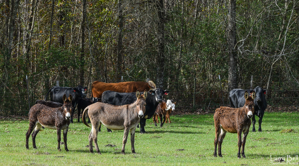
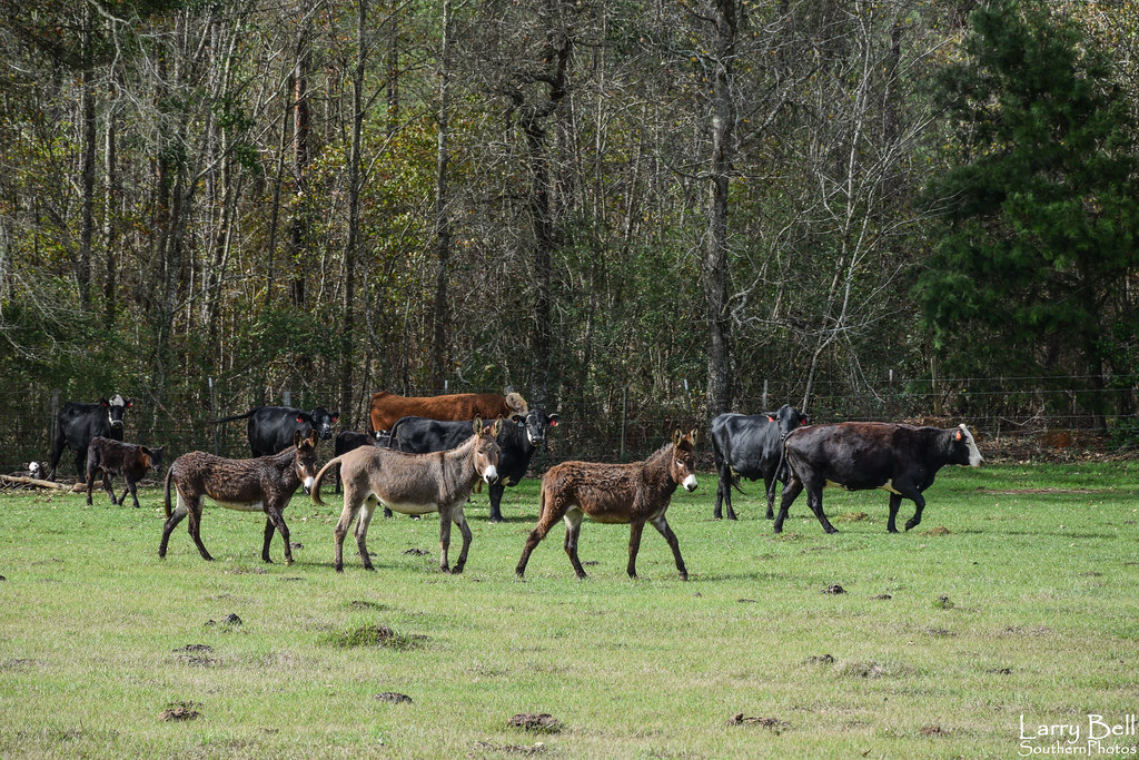
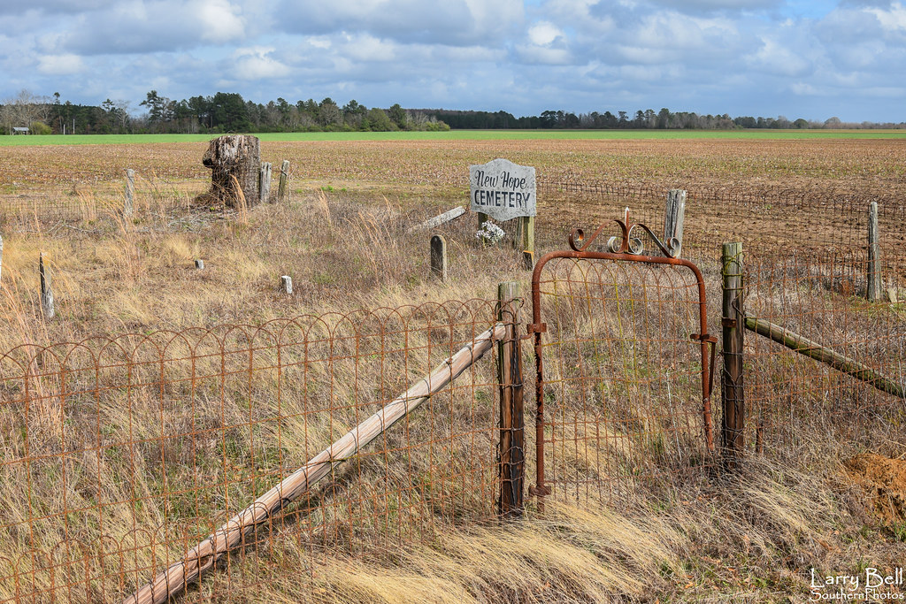
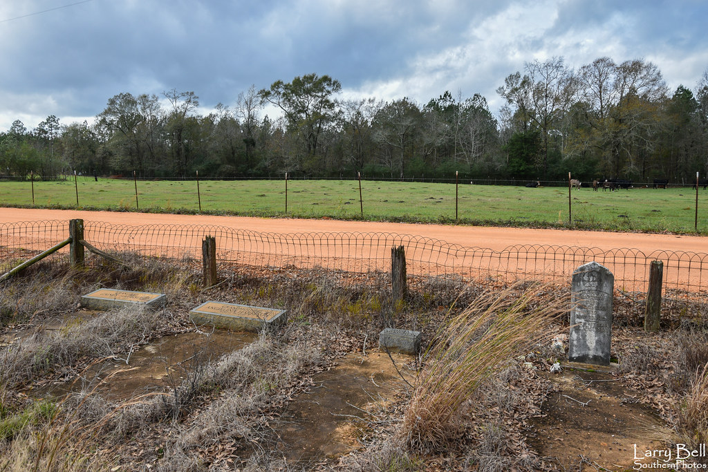
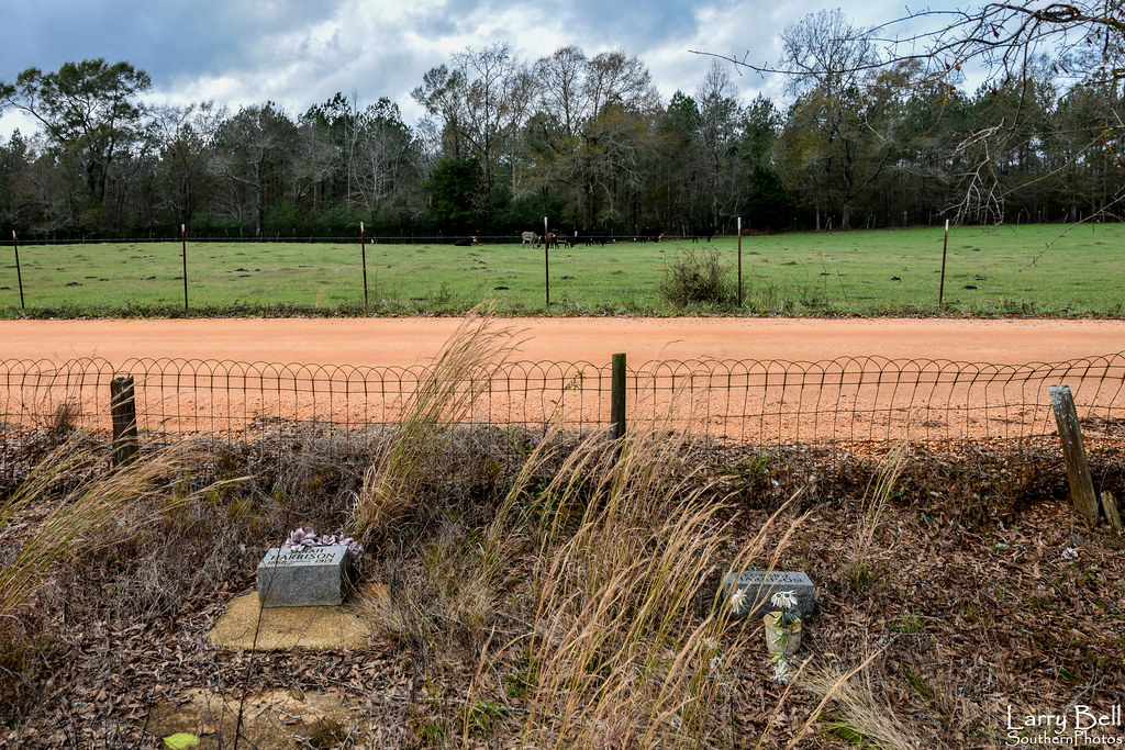
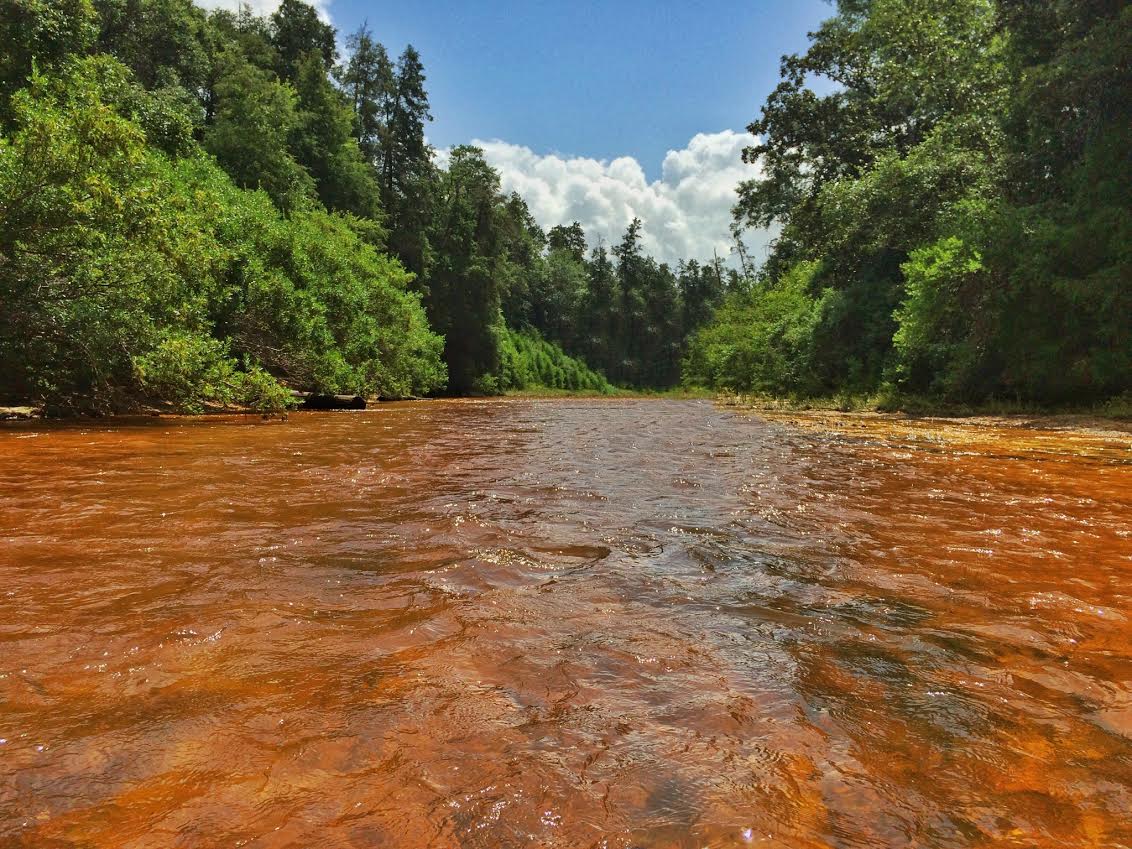
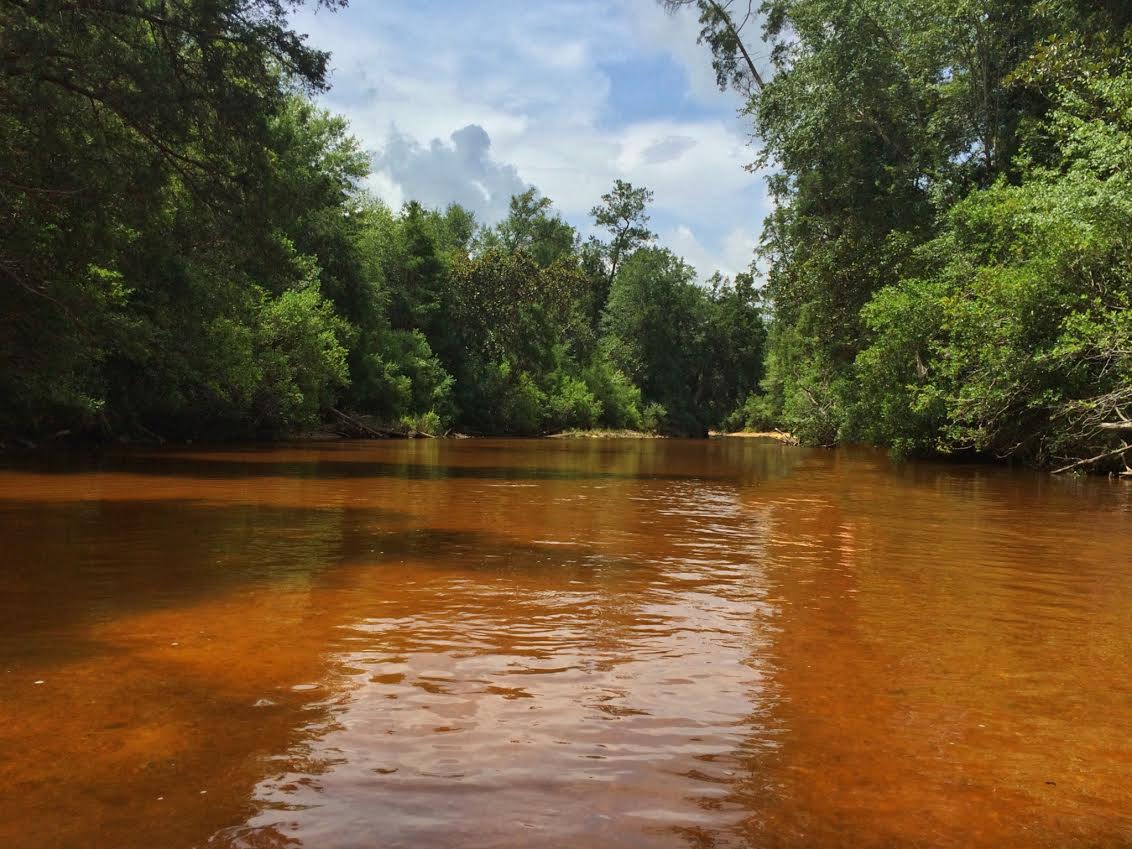
Magnolia Branch Wildlife Reservation

Magnolia Branch Wildlife Reservation

Magnolia Branch Wildlife Reservation

Magnolia Branch Wildlife Reservation

Magnolia Branch Wildlife Reservation

Magnolia Branch Wildlife Reservation

Magnolia Branch Wildlife Reservation

Magnolia Branch Wildlife Reservation

Magnolia Branch Wildlife Reservation
DSC_0152.jpg

DSC_0151.jpg
DSC_0149.jpg
DSC_0144.jpg

DSC_0140.jpg
DSC_0135.jpg
DSC_0132.jpg

DSC_0124.jpg
magnolia branch tubing
magnolia branch

DSC_0206.jpg
Topographic Map of 18 Daniel Ave, Atmore, AL, USA
Find elevation by address:

Places near 18 Daniel Ave, Atmore, AL, USA:
Uriah
20 Booneville Rd, Atmore, AL, USA
AL-59, Uriah, AL, USA
Poarch Rd, Atmore, AL, USA
Robinsonville Rd, Atmore, AL, USA
Jeddo Rd, Uriah, AL, USA
Main St, Frisco City, AL, USA
Robinsonville Rd, Atmore, AL, USA
AL-21, Atmore, AL, USA
Tract 7
Co Rd 1, Atmore, AL, USA
Freemanville Dr, Atmore, AL, USA
Robinsonville Rd, Brewton, AL, USA
8867 Old Stage Rd
92 Middleton Ln, Atmore, AL, USA
Wallace Rd, Brewton, AL, USA
Robinsonville Rd, Atmore, AL, USA
2897 Woods Rd
Scranage Rd, Atmore, AL, USA
Dean Ln, Atmore, AL, USA
Recent Searches:
- Elevation of Corso Fratelli Cairoli, 35, Macerata MC, Italy
- Elevation of Tallevast Rd, Sarasota, FL, USA
- Elevation of 4th St E, Sonoma, CA, USA
- Elevation of Black Hollow Rd, Pennsdale, PA, USA
- Elevation of Oakland Ave, Williamsport, PA, USA
- Elevation of Pedrógão Grande, Portugal
- Elevation of Klee Dr, Martinsburg, WV, USA
- Elevation of Via Roma, Pieranica CR, Italy
- Elevation of Tavkvetili Mountain, Georgia
- Elevation of Hartfords Bluff Cir, Mt Pleasant, SC, USA