Elevation of 18 Crawford Rd, Pittsfield, ME, USA
Location: United States > Maine > Somerset County >
Longitude: -69.418458
Latitude: 44.7813714
Elevation: 74m / 243feet
Barometric Pressure: 100KPa
Elevation Map:
Satellite Map:
Related Photos:

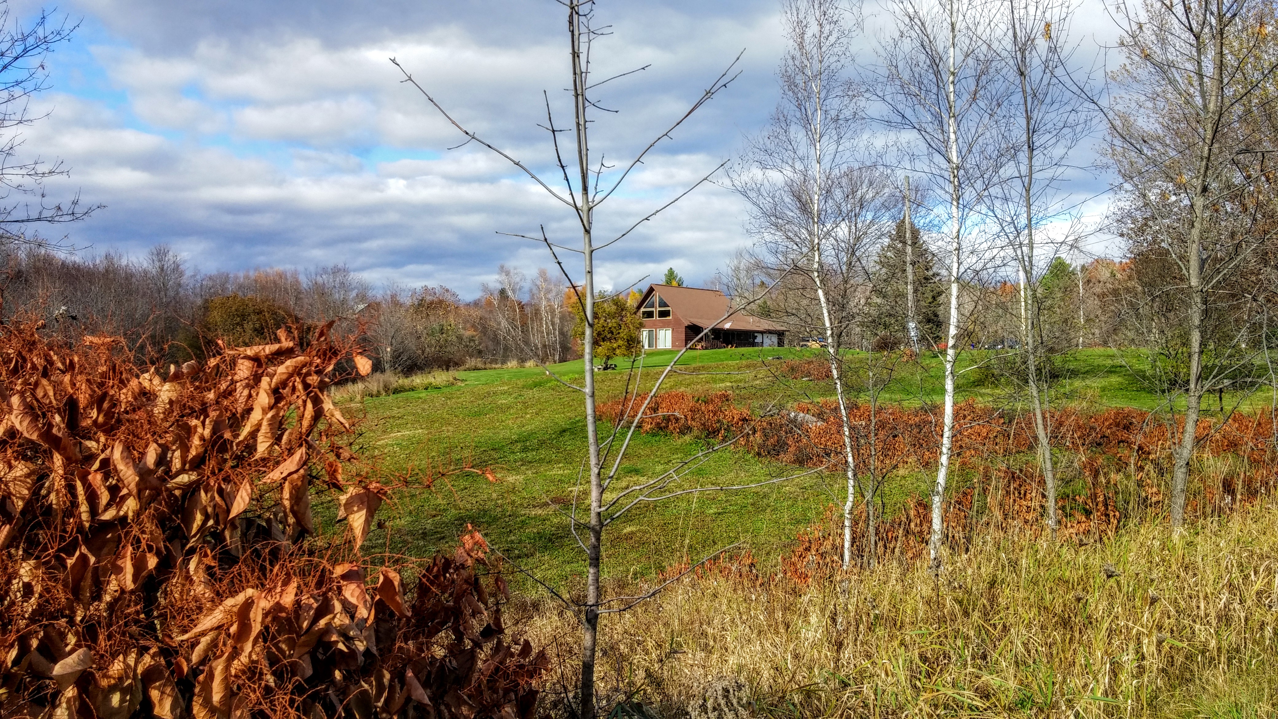
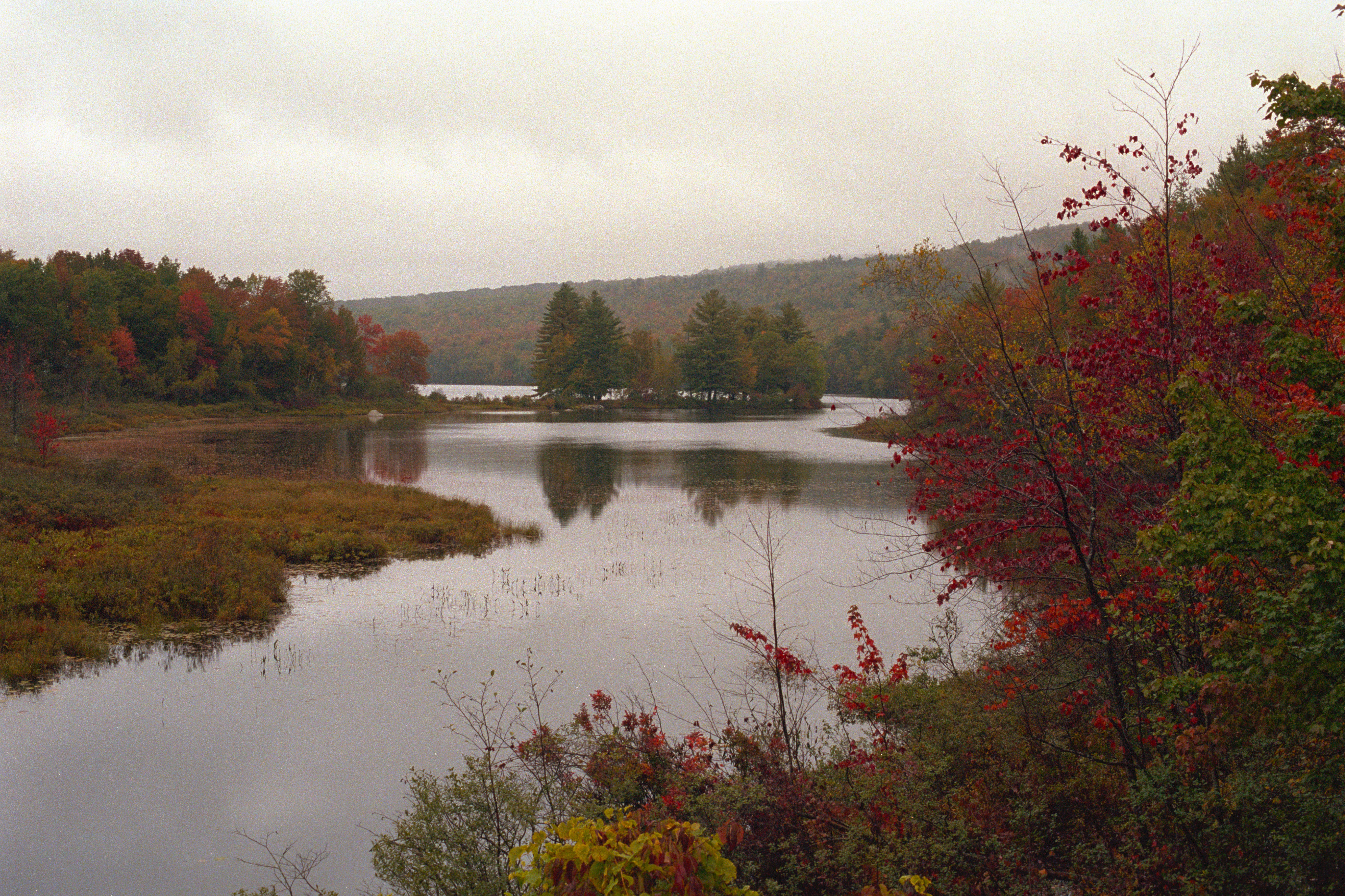
Fall colors surronding Pond 2
2015 11 02 USA ME Palmyra - out for a walk

Sunset from the side-view mirror

lake view, left
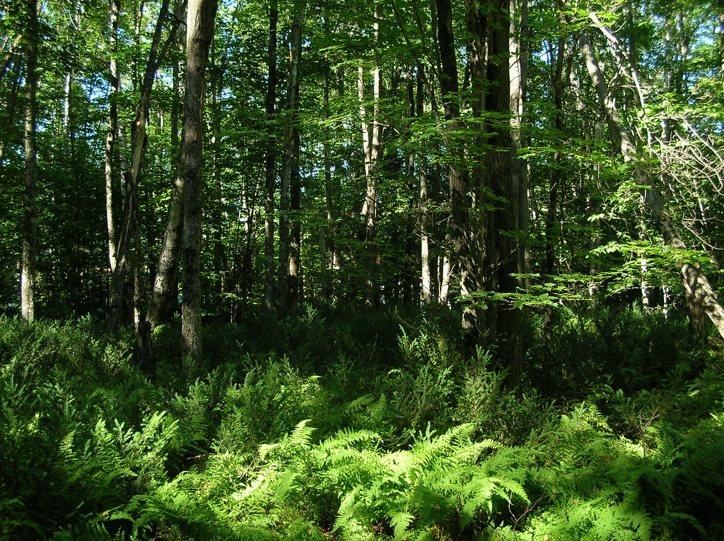
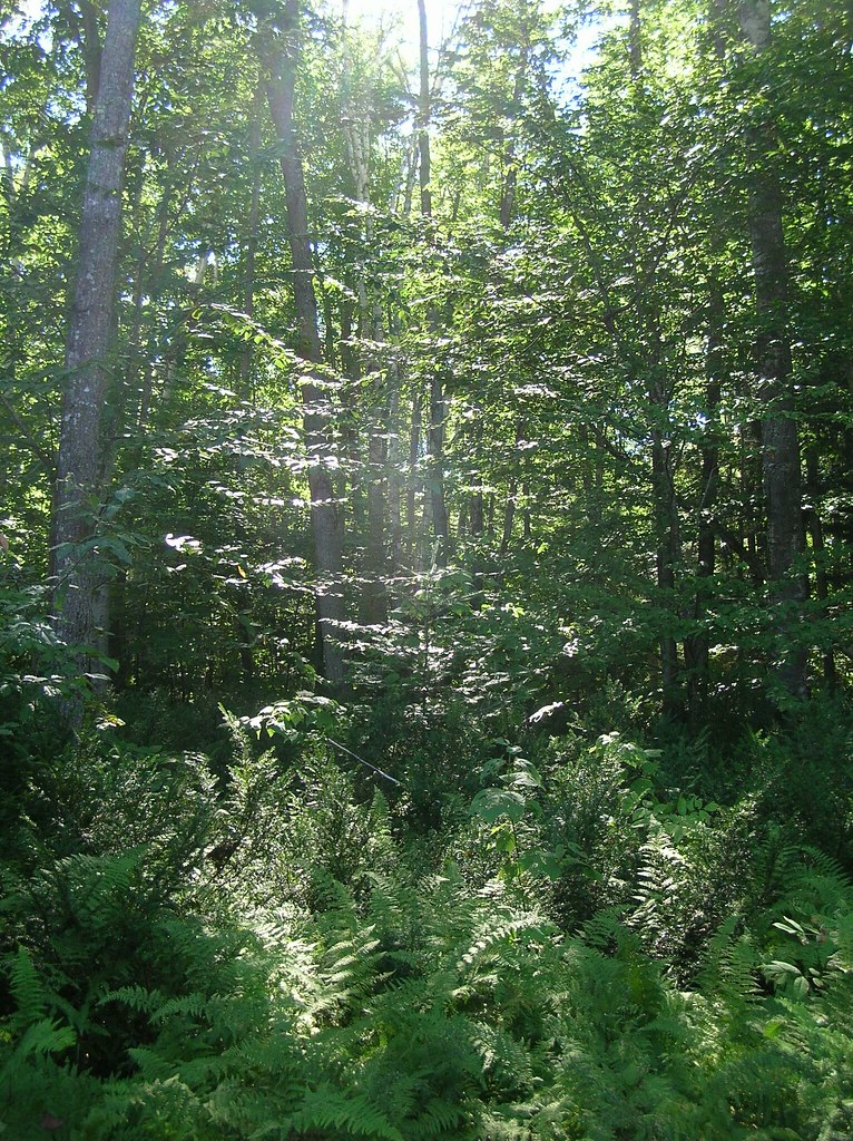
trees and ferns
2014 10 08 USA ME Palmyra 76R

hammock view of a birch on Birch Island
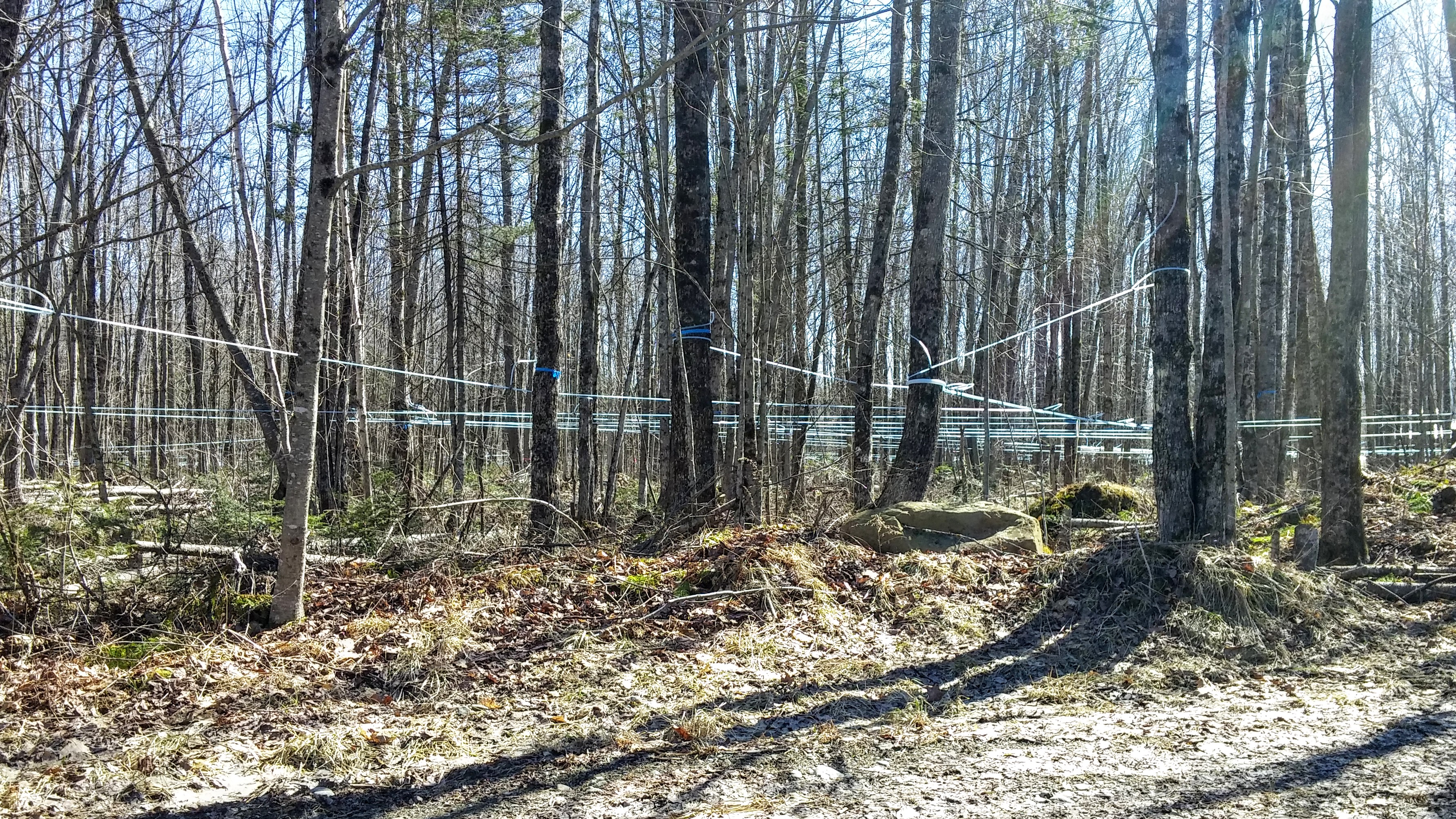
Maple Syrup 0320161319b
2015 11 02 USA ME Palmyra - out for a walk

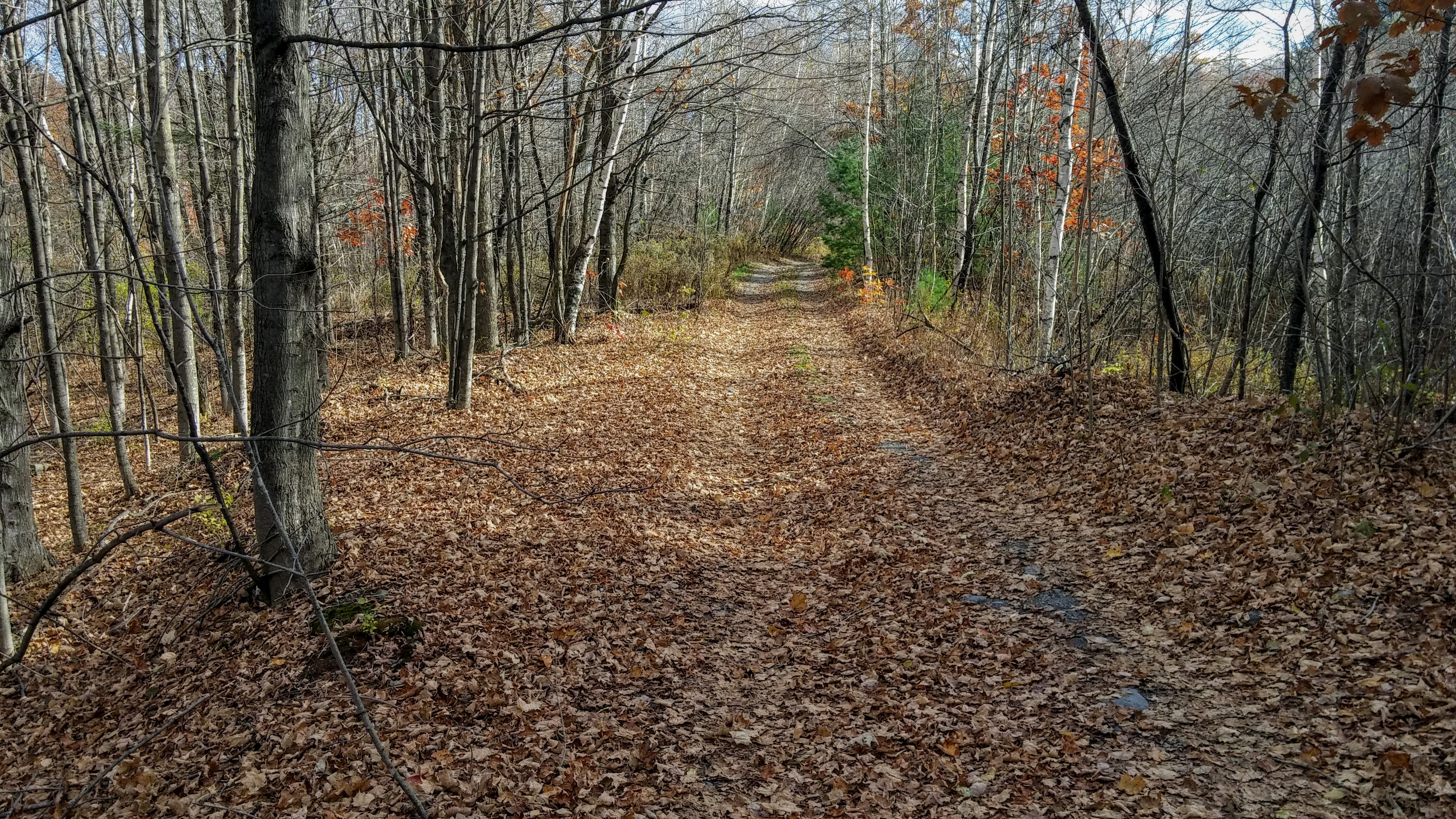
2015 11 04 USA ME Palmyra - walk through forest
2015 11 04 USA ME Palmyra - walk through forest

Some pics of my landscapes

Fall At Lake Winnecook

Sunset - HDR
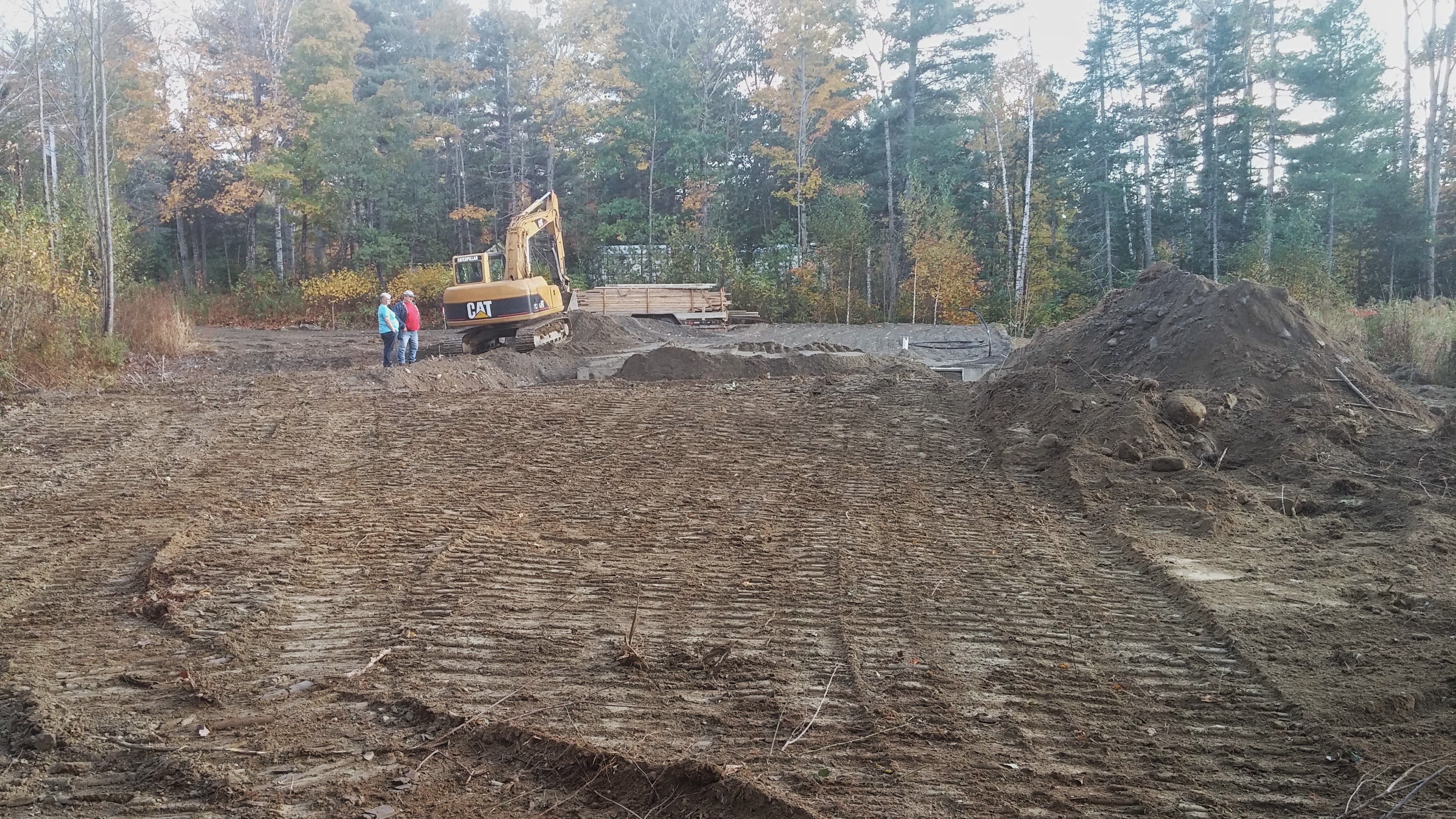
The stairs were delivered.
Lake Winnecook in June
Lake George
nice light at the edge of the woods
Topographic Map of 18 Crawford Rd, Pittsfield, ME, USA
Find elevation by address:

Places near 18 Crawford Rd, Pittsfield, ME, USA:
137 Highland St
Pittsfield
Morrill Street
110 Noble Ct
129 Morrill St
199 Library St
371 Waverly Ave
165 Summer St
118 Manson St
118 Manson St
Pittsfield
Pittsfield
200 Chester St
Canaan Rd, Pittsfield, ME, USA
Waverly Ave, Pittsfield, ME, USA
265 Me-69
265 Me-69
236 Madawaska Rd
Rines Road
777 Johnson Flat Rd
Recent Searches:
- Elevation of Corso Fratelli Cairoli, 35, Macerata MC, Italy
- Elevation of Tallevast Rd, Sarasota, FL, USA
- Elevation of 4th St E, Sonoma, CA, USA
- Elevation of Black Hollow Rd, Pennsdale, PA, USA
- Elevation of Oakland Ave, Williamsport, PA, USA
- Elevation of Pedrógão Grande, Portugal
- Elevation of Klee Dr, Martinsburg, WV, USA
- Elevation of Via Roma, Pieranica CR, Italy
- Elevation of Tavkvetili Mountain, Georgia
- Elevation of Hartfords Bluff Cir, Mt Pleasant, SC, USA