Elevation of 17 Miller Dr, Somers, CT, USA

Location: United States > Connecticut > Tolland County > Somers >

Longitude: -72.430013

Latitude: 41.9700811

Elevation: 189m / 620feet

Barometric Pressure: 99KPa

Elevation Map:

elevation map of 17 Miller Dr, Somers, CT, USA
Satellite Map:

Satellite map of 17 Miller Dr, Somers, CT, USA

Related Photos:

South Street Open Space - Vernon Connecticut
landscape winterlandscape rockville vernon connecticut snow winter overcast overlook scenic park henrypark newengland southernnewengland outdoor white vista pentax pentaxart k70 kmount hdpentaxda1685mmlens town smalltown
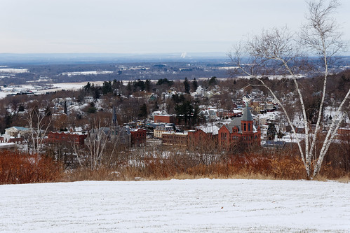
Rockville View
winterinnewengland firstsnowstormoftheseason letitsnow connecticut vernonconnecticut rockvilleconnecticut northeastconnecticut tollandcounty newengland beautiful winterphotography winter photography flickr
Winter In New England - Let It Snow
foxhill nature view land sixflags newengland nikon nikond3500 digitalslr dslr connecticut photography vernonct rockvillect agawamma scenic hill mountain building architecture nopeople
Six Flags New England
hairy flower nature leaves outdoors magenta wildflower redclover trifoliumpratense mygearandme
Red Clover (Trifolium pratense)
fire somers ct truck kenworth tanker kme
somers tanker 246 (view 2)
fire somers ct truck kenworth tanker kme
somers tanker 246 (view 3)
fire somers ct dodge ram ambulance lifeline
somers medic 546 (view 3)
fire somers ct dodge ram ambulance lifeline
somers medic 546 (view 2)
ellington ladder 143 (view 2)
bird shorebird wader greateryellowlegs sandpiperfamily
Greater Yellowlegs (Tringa melanoleuca)
4guys tanker freightliner ellington ct crystal lake connecticut apparatus fire truck
crystal lake tanker 142 (view 2)
old brick factory ct condos mills enfield drygoods thompsonville 06082 bigelowsanford caskethardware
The west side of the Westfield Plate Co. building.
walkingnewengland janelazarz massachusetts fallinnewengland nikonp900 nikon massachusettsautumn autumn newenglandcountryside westernmassachusetts hampdenma river bridge
Main St bridge view, Hampden, Massachusetts
mansion gilded age maxwell 1904 platt adams charles colonialclassical hockanum mills company rockville connecticut fox hill autumn
View from Fox Hill, Rockville, Connecticut
vernonconnecticut rockvilleconnecticut vernonct rockvillect vernon rockville downtownrockville consolidatedcity city community village historicbuildings stbernardschurch memorialhall townhall connecticut newengland
Historic Rockville - View of Downtown Rockville
food bird gull flight drop loose larusdelawarensis fantasticnature amazingwildlifephotography ringbilldgull
OOPS!
beldingwildlifemanagementarea spring vernon 1001nights allofnatureswildlifelevel1 jclay flickrsfinestimages1 blinkagain
The Watchful Hunter
rear view fire truck ct
crystal lake
winter snow bird nature outdoors natural newengland eat sparrow feed avian wma songsparrow melospizamelodia
Song Sparrow
rear view fire truck ct
broad brook
windsorlocks explore inexplore landscape goldenhour newengland connecticut darktable trees color clouds reflection foliage fall autumn suffield canal lock windsorlockscanal windsorlockscanalstateparktrail fuji xt20 xf55200
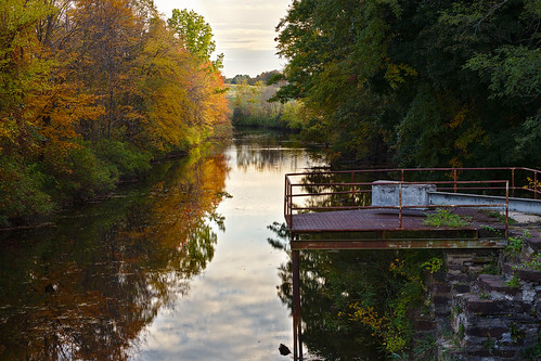
Windsor Locks Canal
generalaviation wing clouds fallfoliage connecticut 2000feet cirrus
Sun hole in the clouds
autumn usa fall church connecticut stafford autumnwalk staffordspring staffordvillebeach
Autumn church
18250mm sigma nikon silk originalfilter mill pond falls newington ct waterfall water motion blur landscape rocks millpond newingtonct
Mill Pond Falls - Newington, CT
dam connecticut historic rapids enfield scanticriver 06082 powderhollow hazardville colonelhazard civilwarblackpowder
Remains of the lower Powder Hollow dam on the Scantic river...
field strawberry
Strawberry fields forever
road station river connecticut ct location route springs former 32 filling stafford tolland realignment uploaded:by=flickrmobile flickriosapp:filter=nofilter
Old River Road Filling Station site, Stafford Springs, CT
brick abandoned graffiti rust newengland ct dilapidated enfield delapidated blackpowder pumpstation scanticriver 06082 powderhollow hazardville floodof55
Powder Hollow relic...
dam connecticut historic rapids civilwar losers enfield hoodlums blackpowder deadbeats scanticriver 06082 powderhollow hazardville colonelhazard
Remains of the old Powder Hollow dam on the Scantic river, along with evidence of dirtbag-ery...
spring ct fiddlehead enfield 06082 scantic
Scantic River trail walk
dam connecticut historic rapids civilwar enfield blackpowder scanticriver 06082 powderhollow hazardville colonelhazard
Remains of the old Powder Hollow dam on the Scantic river...
railroad bikepath connecticut newhaven vernon hpf railtrail newyorknewhavenhartford nynhh hartfordprovidencefishkill hopriverstateparktrail midlanddivision
Midland Division (1)
connecticut enfield landscape autumn
Enfield, CT
summer sunrise connecticut ct sunflower jclay
It’s a good morning
monson massachusetts unitedstates us
Under Stafford Hollow Road
summer bird connecticut ngc ct wildflowers southwindsor frameit jclay bestcapturesaoi elitegalleryaoi rememberthatmomentlevel1 rememberthatmomentlevel2 rememberthatmomentlevel3
Golden Boy
tower toweronfoxhill foxhill worksprogressadministration wpa stonebuilding henrypark park vernon rockville connecticut overcast winter winterlandscape snow outdoor newengland southernnewengland roof pentax pentaxart kmount k70 hdpentaxda1685mmlens texture warmemorialtower
Tower on Fox Hill
statepark trees nature water forest river landscape outside spring stream connecticut current enfield linearpark scanticriver enfieldconnecticut hazardville hazardvilleconnecticut scanticriverstatepark
Around the bend
Air and ice.