Elevation of 12 South Ln, Hingham, MA, USA
Location: United States > Massachusetts > Plymouth County > Hingham > Hingham > Hingham >
Longitude: -70.893394
Latitude: 42.2398704
Elevation: 15m / 49feet
Barometric Pressure: 101KPa
Elevation Map:
Satellite Map:
Related Photos:

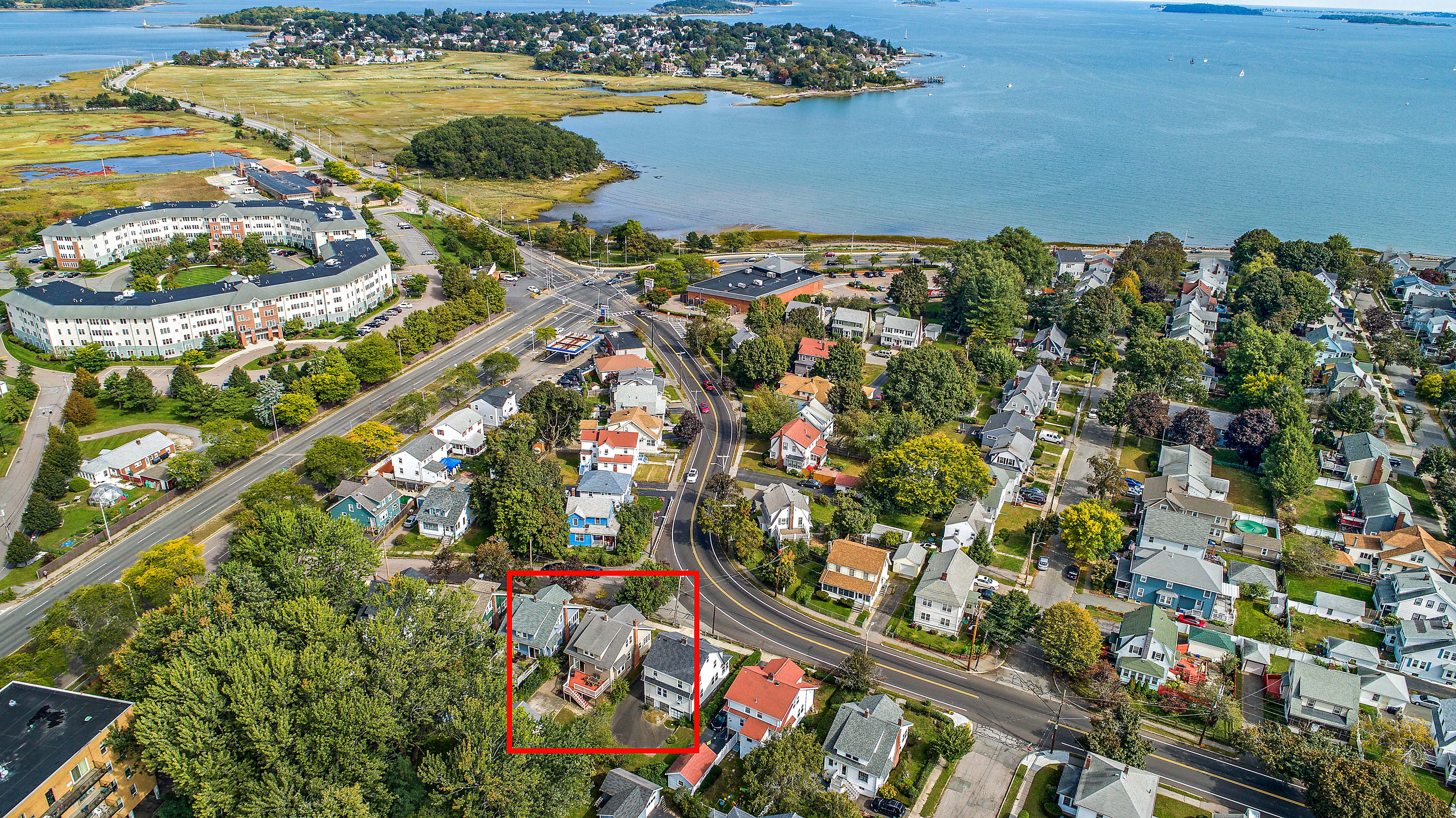
_RDX3132.jpg

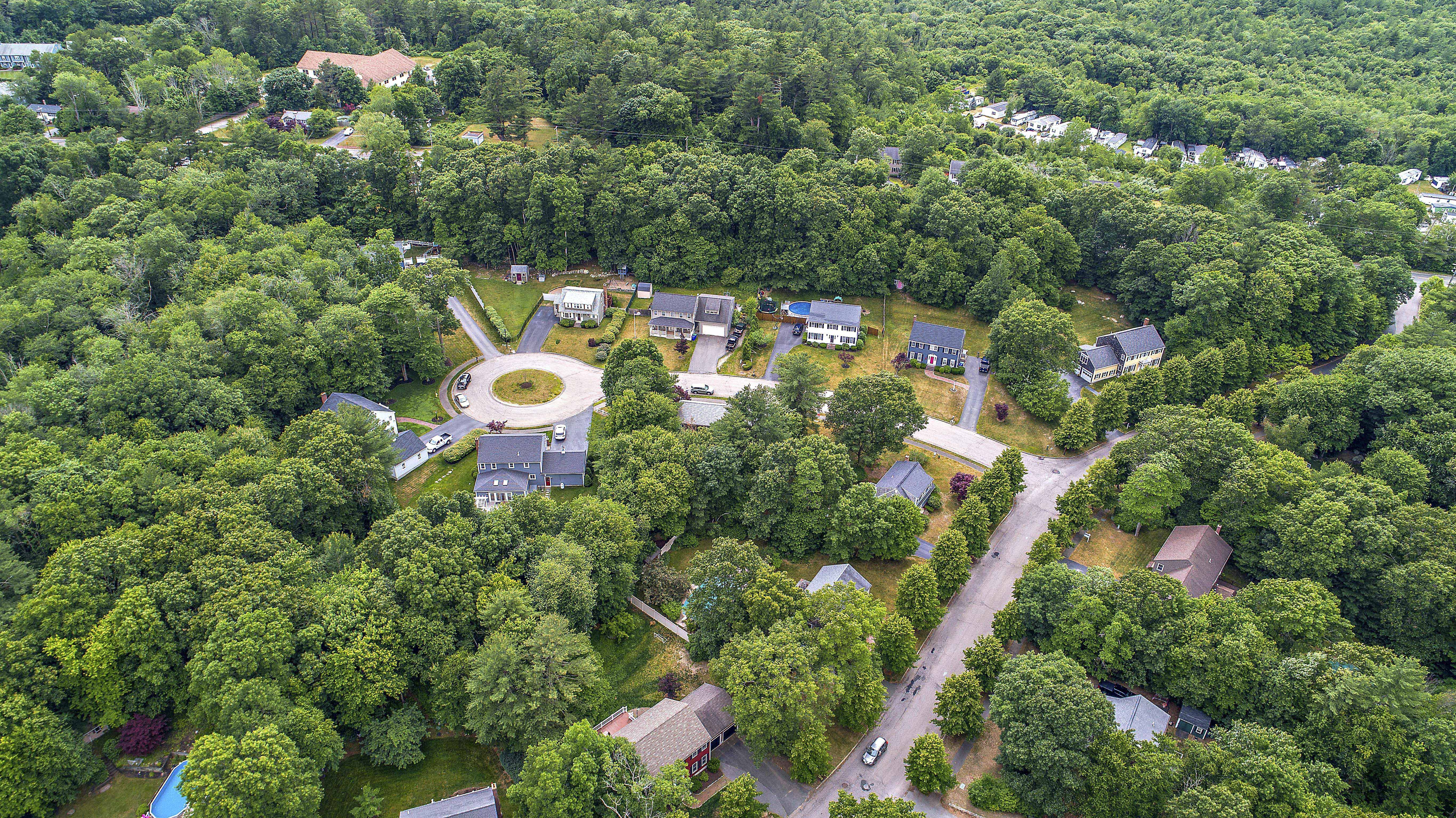
_RDX3140.jpg

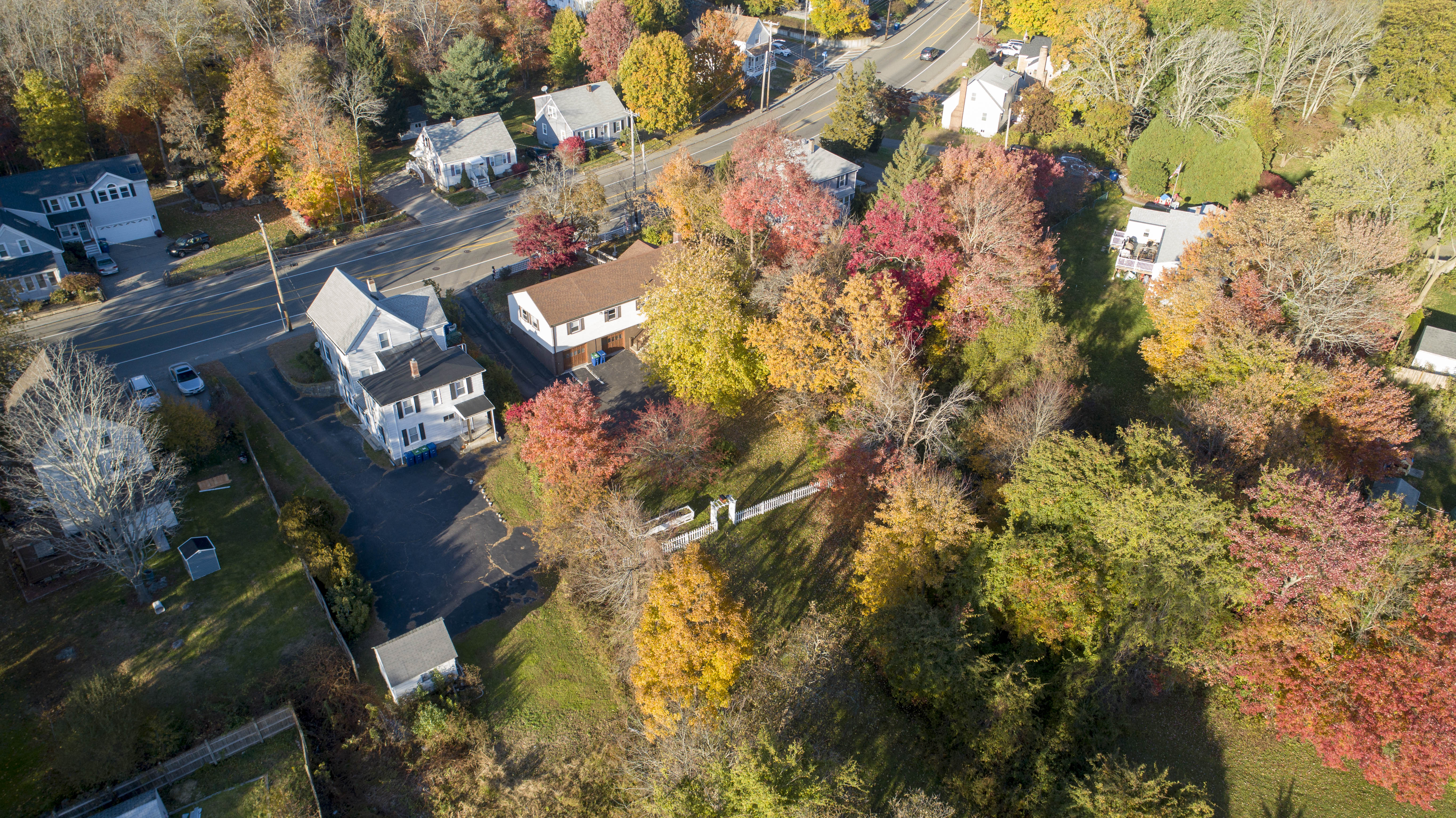
_RDX7292.jpg

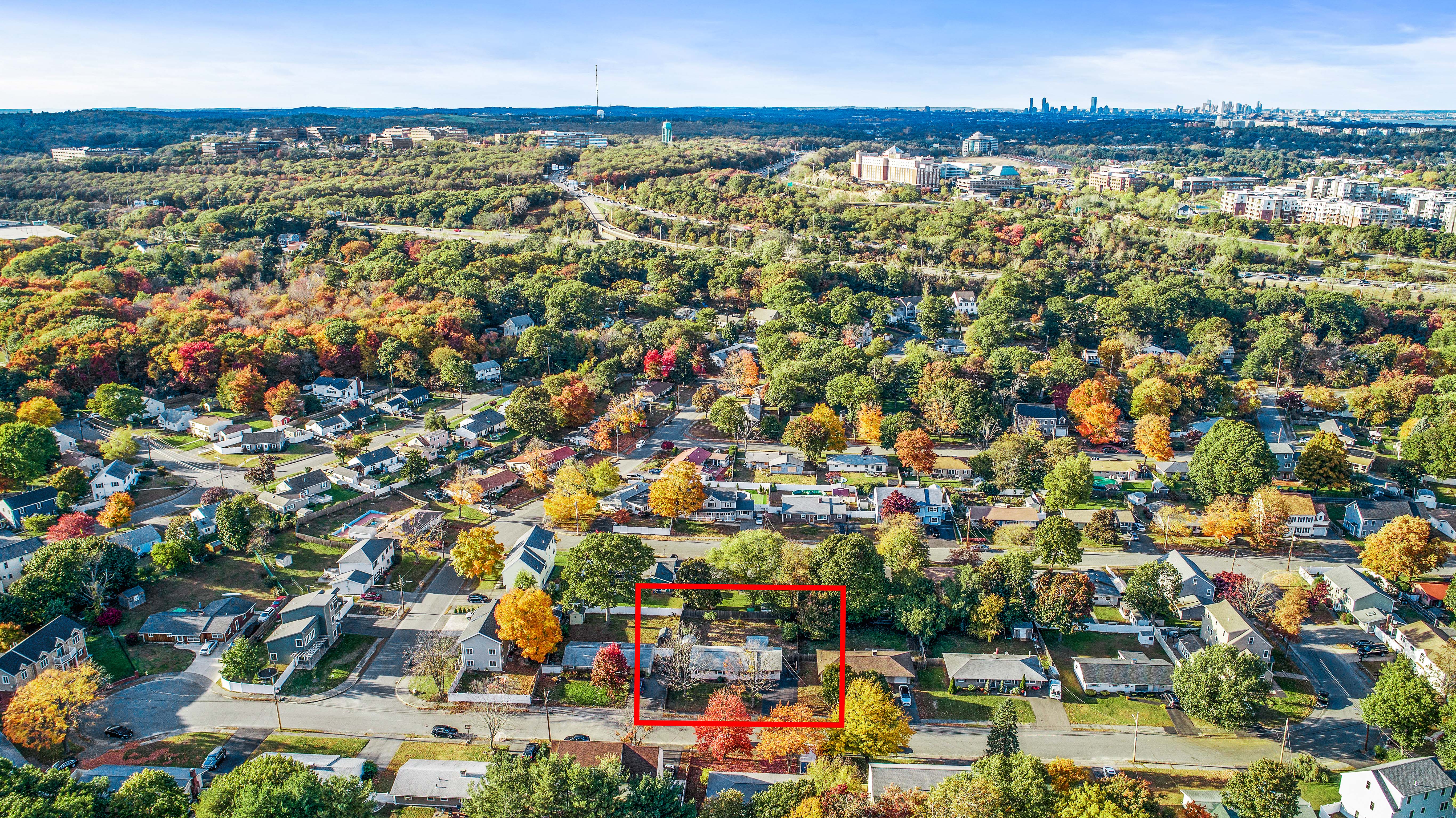
_M4_6274.jpg

_M4_6177.jpg

_M4_7180.jpg

_RDX8075.jpg

_RDX3884.jpg

_RDX2548.jpg

_RDX3819.jpg

_M4_7098.jpg

_RDX3433.jpg

_RDX7495.jpg

_RDX1440.jpg

_M4_6412.jpg

_M4_6011.jpg

_D2_7864.jpg

_M4_7555.jpg

_RDX6629.jpg

5DSR1558.jpg

_RDX9532.jpg

Looking.
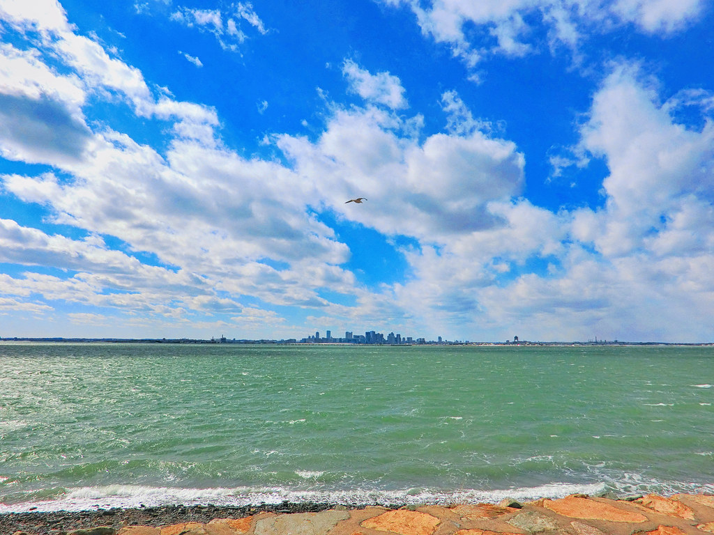
View of Boston skyline from Deer Island

Winter Solstice at Quincy Quarries

Quarry Hills - West Quincy, Massachusetts.
47 Alfred (09 of 12)
307 Hancock (17 of 17)

Sunset over Boston viewed from Head Island
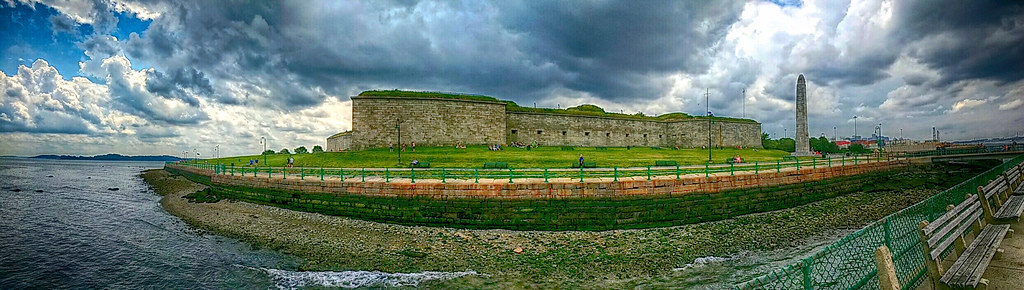
Fort Independence, South Boston
19 Ditmar (02 of 30)

Martin at the Quincy Quarries.

Sunset at Chapel Rock
7 Barstow Ln Desat-31
343 Union Aerial (3 of 8)

Boston-1
47 Alfred (10 of 12)

Quincy Dawn

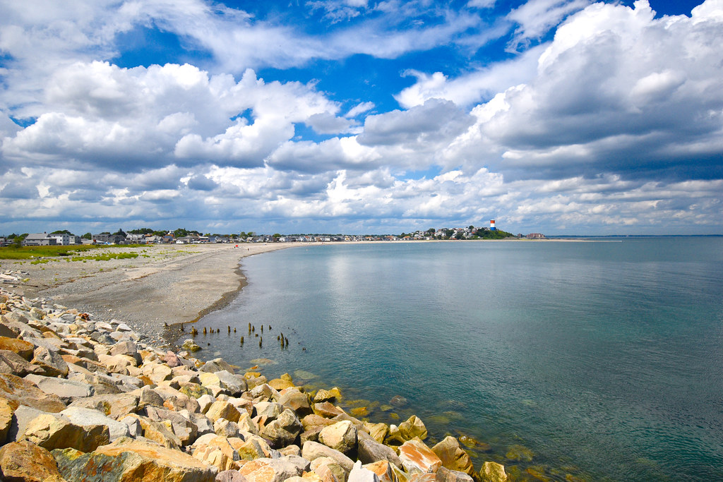
On top of Quincy Quarries looking towards Boston and Harbor Islands.
Winthrop Head as viewed from Deer Island
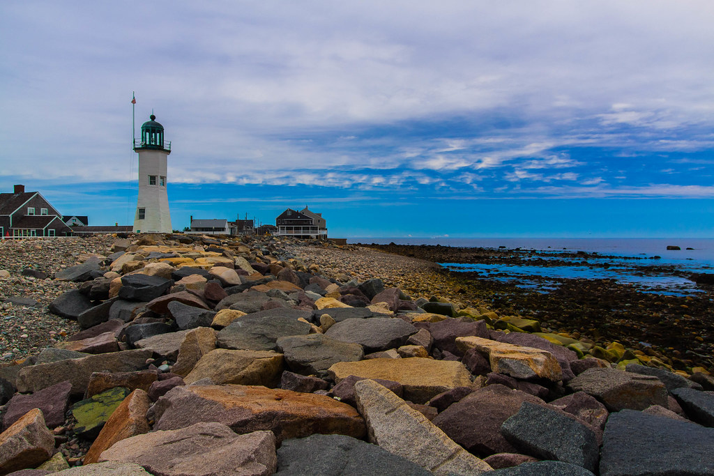
Scituate Light 4
Carson Beach, South Boston

sea of "fluffy top grasses"
Topographic Map of 12 South Ln, Hingham, MA, USA
Find elevation by address:

Places near 12 South Ln, Hingham, MA, USA:
Hingham
Hingham
6 New Towne Dr
43 Fearing Rd
95 Central St
10 Burr Rd
50 Fort Hill St
19 Planters Field Ln
16 Daley Rd
2 Wompatuck Rd
7 Howe St
2 Sycamore Ln
26 Wompatuck Rd
28 Wompatuck Rd
30 Wompatuck Rd
34 Wompatuck Rd
26 Cushing Ave
38 Wompatuck Rd
29 Howe St
48 Wompatuck Rd
Recent Searches:
- Elevation of Corso Fratelli Cairoli, 35, Macerata MC, Italy
- Elevation of Tallevast Rd, Sarasota, FL, USA
- Elevation of 4th St E, Sonoma, CA, USA
- Elevation of Black Hollow Rd, Pennsdale, PA, USA
- Elevation of Oakland Ave, Williamsport, PA, USA
- Elevation of Pedrógão Grande, Portugal
- Elevation of Klee Dr, Martinsburg, WV, USA
- Elevation of Via Roma, Pieranica CR, Italy
- Elevation of Tavkvetili Mountain, Georgia
- Elevation of Hartfords Bluff Cir, Mt Pleasant, SC, USA