Elevation of 10th Ave, Los Angeles, CA, USA
Location: United States > California > Los Angeles County > Los Angeles > South Los Angeles >
Longitude: -118.32833
Latitude: 33.982035
Elevation: 48m / 157feet
Barometric Pressure: 0KPa
Related Photos:
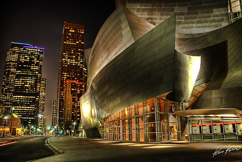
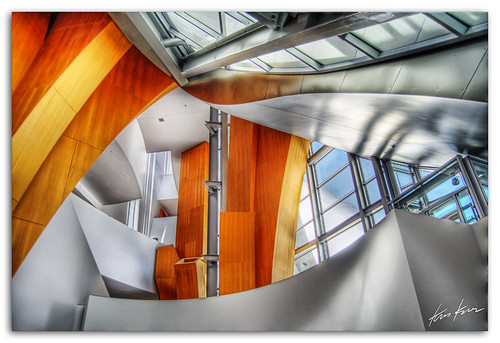
Assembled in the light

No Sleep

Sunday Morning
end of the day
After the rain
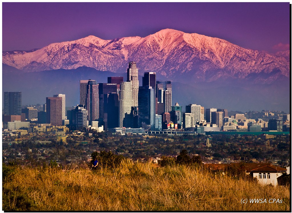
View From My Perch

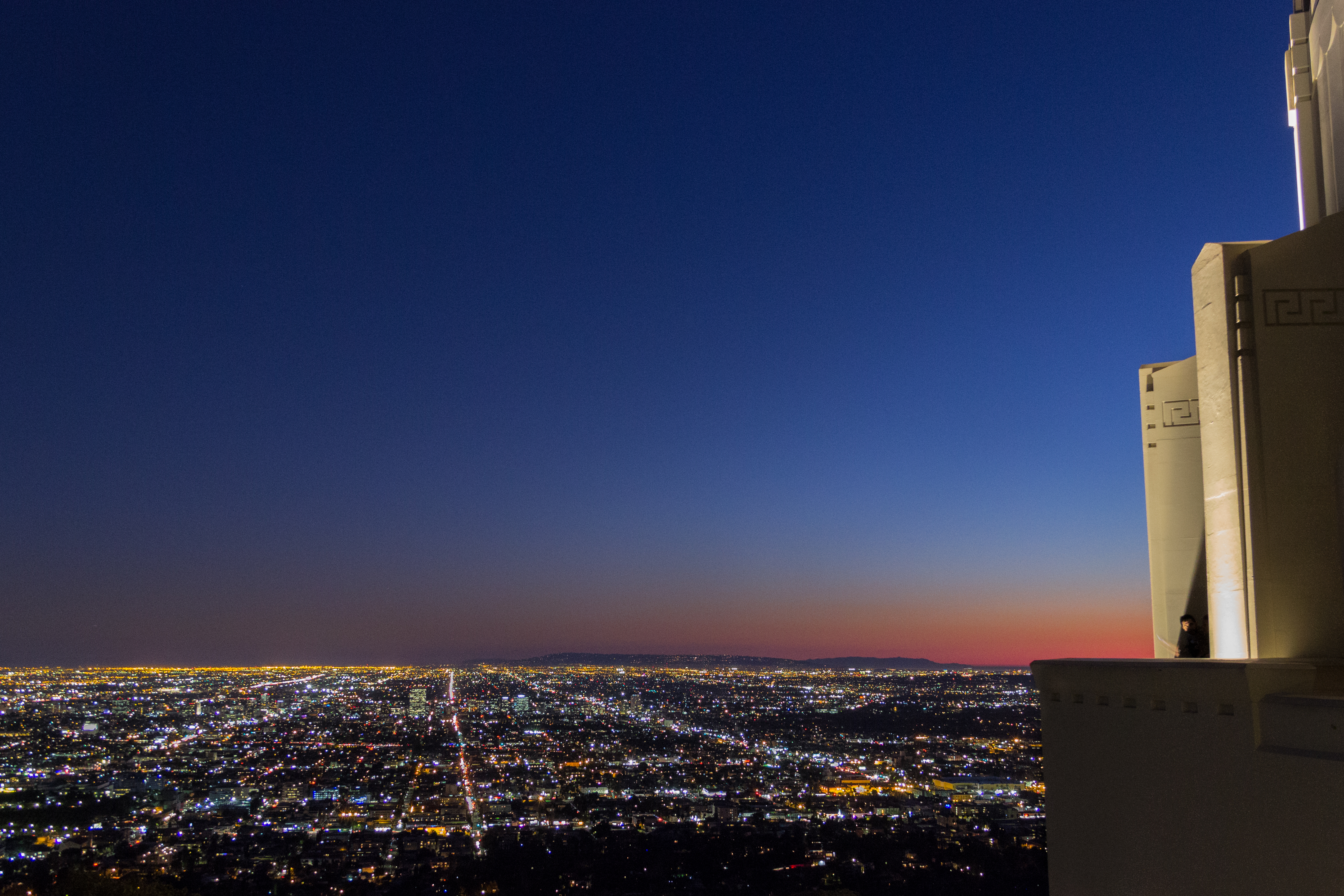
Starry Eyed Surprise
for isabelle ann
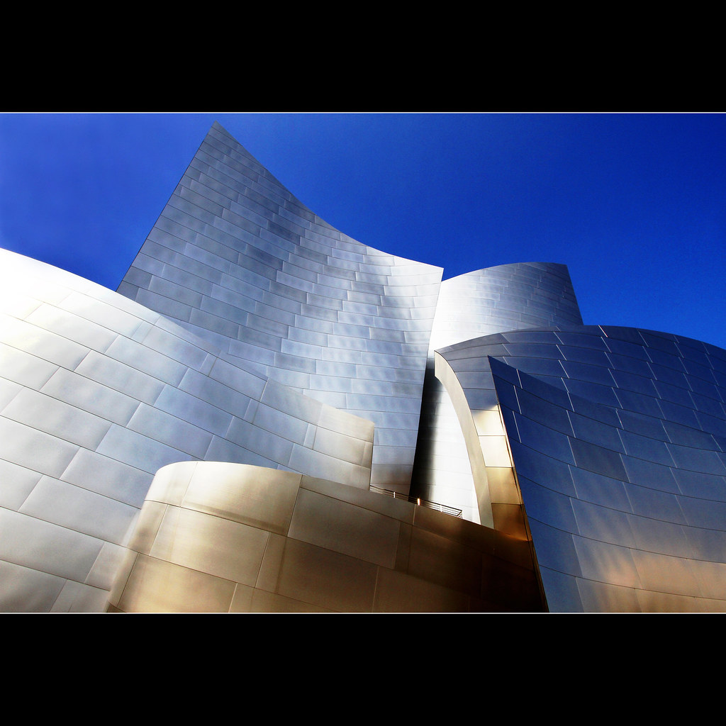
mountain of steel
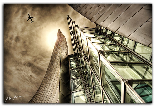
the shining

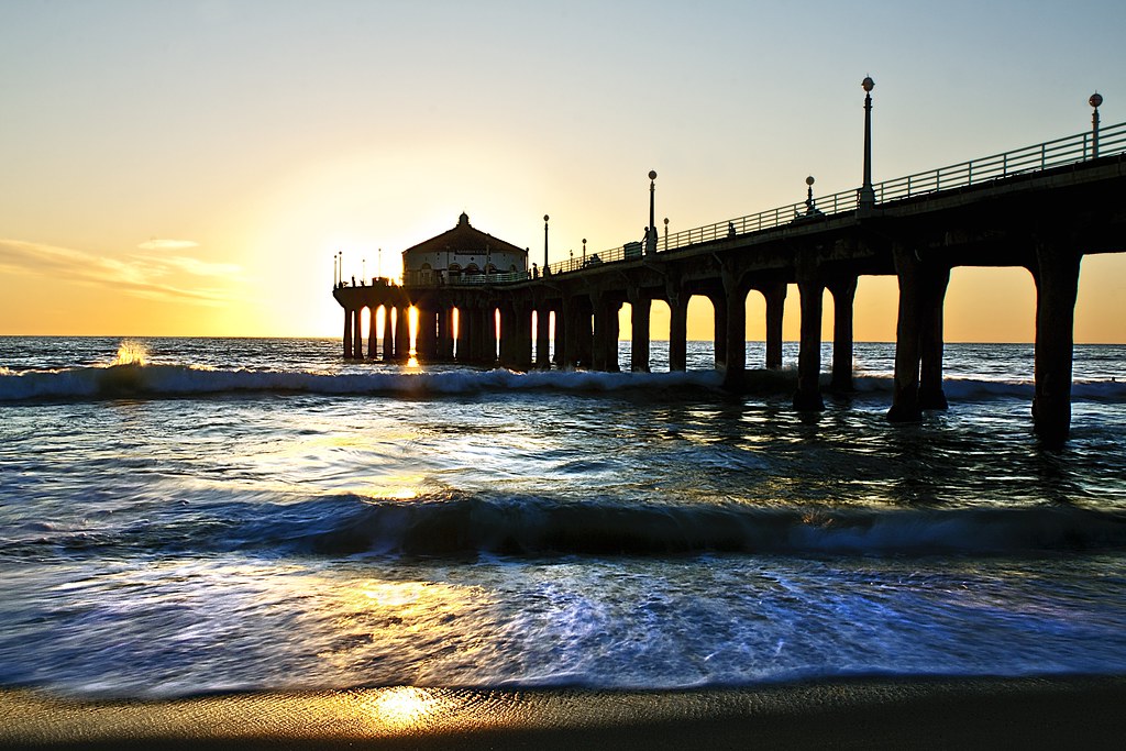
ocean view window
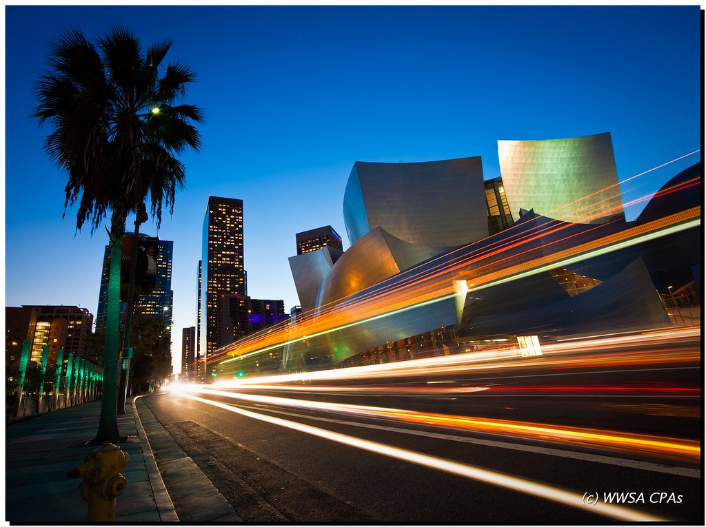
Downtown Speedway
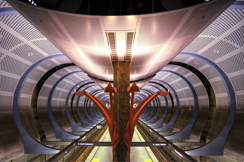
Transit Cathedral
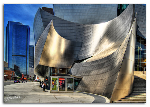
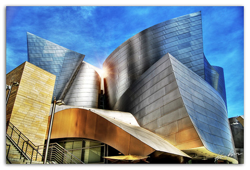
made of steel

Gentle Walk

Under the Radar
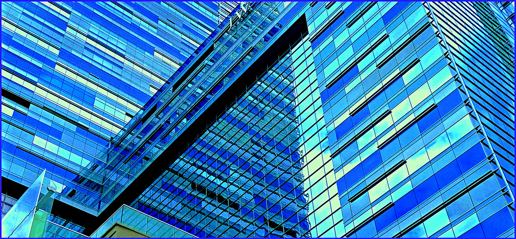
Geometric Reflections in Blue
Just Around the Bend

Tripping On The 110
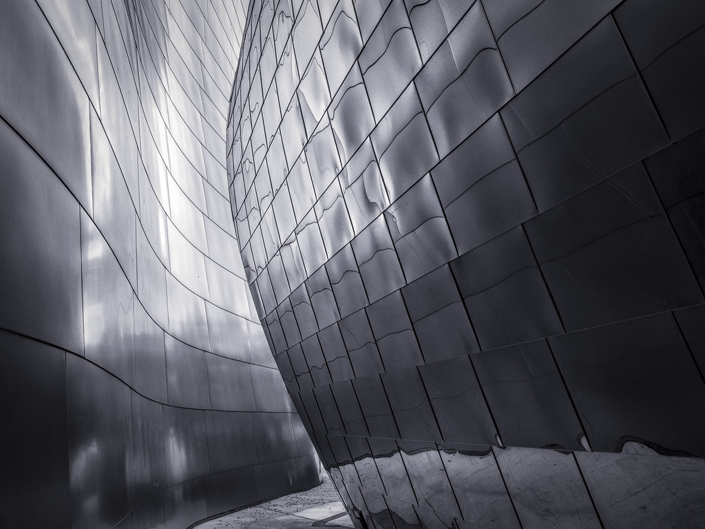
inside look

Crimson Sky #3
Topographic Map of 10th Ave, Los Angeles, CA, USA
Find elevation by address:

Places near 10th Ave, Los Angeles, CA, USA:
6329 10th Ave
8th Ave & Hyde Park Blvd
Crenshaw Blvd, Los Angeles, CA, USA
3138 W 59th St
8th Ave & W 68th St
Park Mesa Heights
5838 4th Ave
S Van Ness Ave & W 65th Pl
Crenshaw Blvd & W 79th St
W 79th St & S Victoria Ave
3535 Olympiad Dr
570 E 67th St
4508 4th Ave
Presidio Dr, View Park, CA, USA
5511 S Verdun Ave
Inglewood, CA, USA
Morningside Park
W Manchester Blvd, Inglewood, CA, USA
View Park
View Park-windsor Hills
Recent Searches:
- Elevation map of Greenland, Greenland
- Elevation of Sullivan Hill, New York, New York, 10002, USA
- Elevation of Morehead Road, Withrow Downs, Charlotte, Mecklenburg County, North Carolina, 28262, USA
- Elevation of 2800, Morehead Road, Withrow Downs, Charlotte, Mecklenburg County, North Carolina, 28262, USA
- Elevation of Yangbi Yi Autonomous County, Yunnan, China
- Elevation of Pingpo, Yangbi Yi Autonomous County, Yunnan, China
- Elevation of Mount Malong, Pingpo, Yangbi Yi Autonomous County, Yunnan, China
- Elevation map of Yongping County, Yunnan, China
- Elevation of North 8th Street, Palatka, Putnam County, Florida, 32177, USA
- Elevation of 107, Big Apple Road, East Palatka, Putnam County, Florida, 32131, USA
- Elevation of Jiezi, Chongzhou City, Sichuan, China
- Elevation of Chongzhou City, Sichuan, China
- Elevation of Huaiyuan, Chongzhou City, Sichuan, China
- Elevation of Qingxia, Chengdu, Sichuan, China
- Elevation of Corso Fratelli Cairoli, 35, Macerata MC, Italy
- Elevation of Tallevast Rd, Sarasota, FL, USA
- Elevation of 4th St E, Sonoma, CA, USA
- Elevation of Black Hollow Rd, Pennsdale, PA, USA
- Elevation of Oakland Ave, Williamsport, PA, USA
- Elevation of Pedrógão Grande, Portugal