Elevation of 10 Mile Rd, Marianna, PA, USA
Location: United States > Pennsylvania > Washington County > Amwell >
Longitude: -80.127583
Latitude: 40.012809
Elevation: 272m / 892feet
Barometric Pressure: 98KPa
Elevation Map:
Satellite Map:
Related Photos:

Pennsylvania ~ Scenery Hill

Pennsylvania ~ Scenery Hill

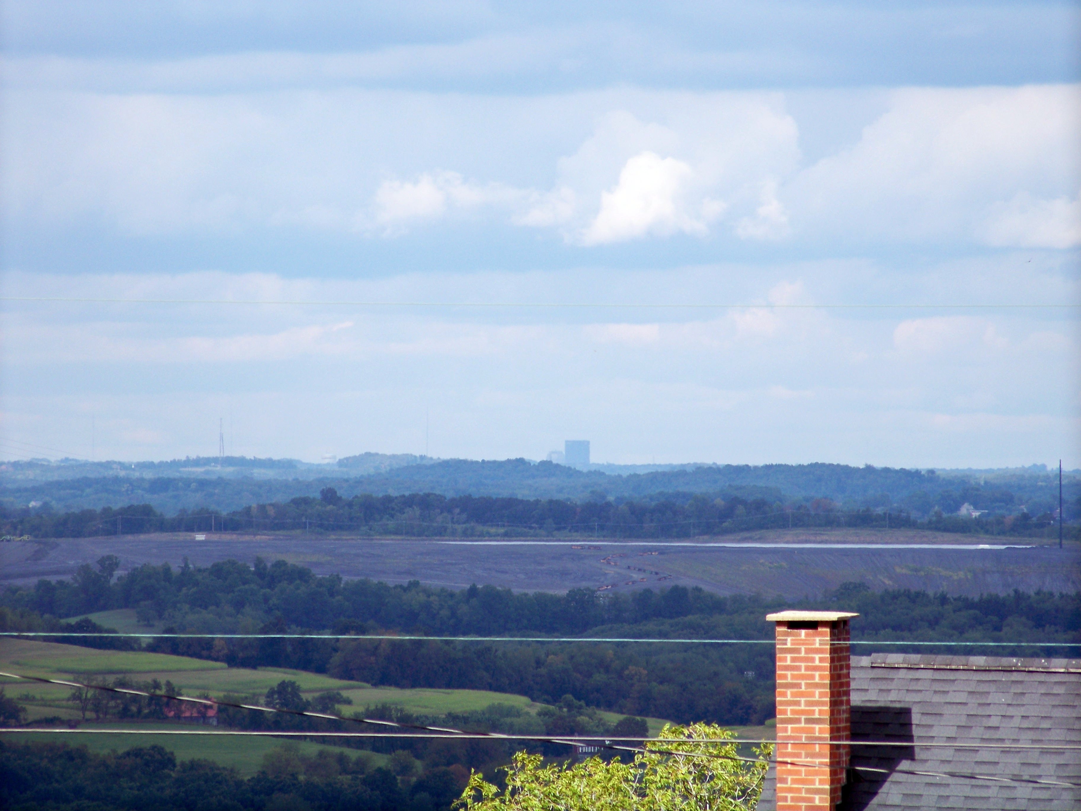
Distant City II

Darkness Falls

Pennsylvania ~ Fredericktown
Back to Bailey
Once Upon a Time

Calvary Hill
this is not the view from brian's driveway
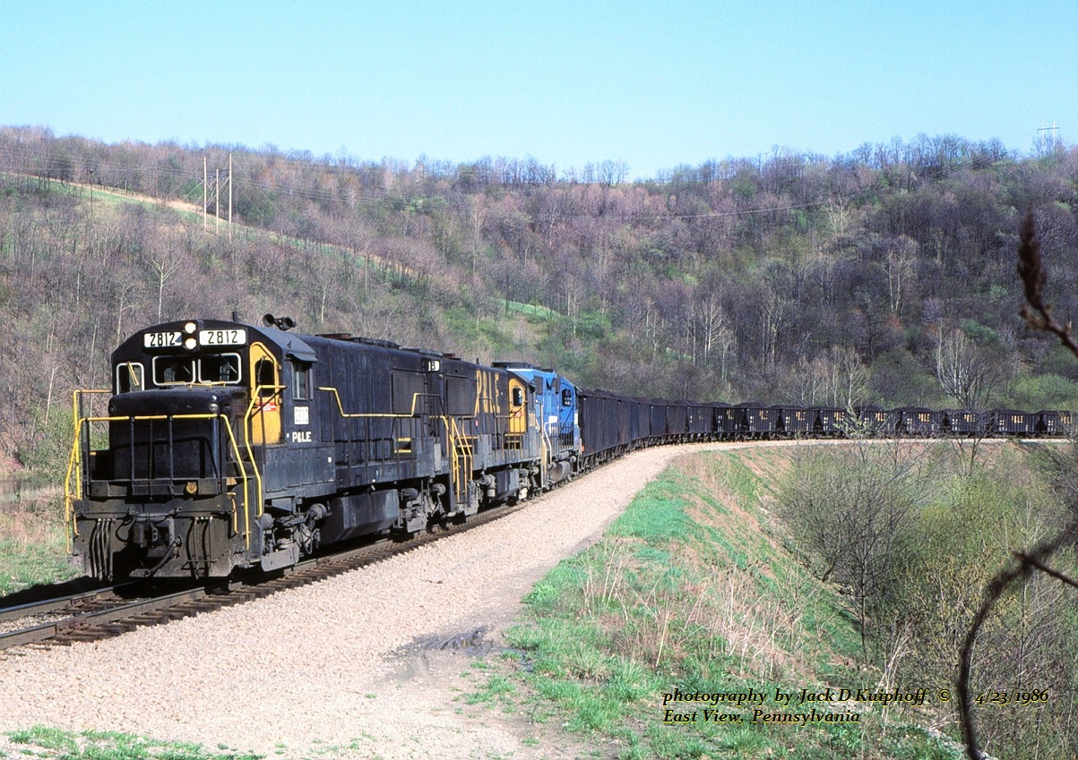
PLE 2812-2818-2039, East View, PA. 4-23-1986

Debbie's Delite
Distant View of Pittsburgh
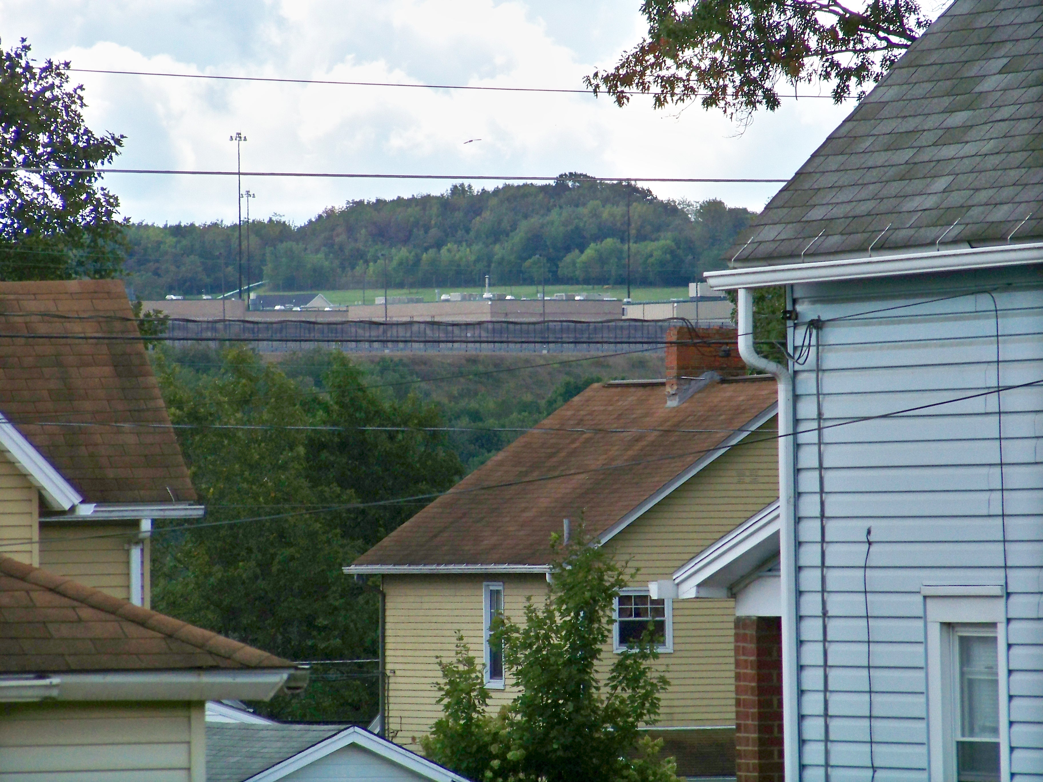
State Prison

Pittsburgh from the Rivers
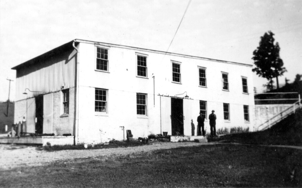
Waynesburg Warehouse

scenery hill cemetery
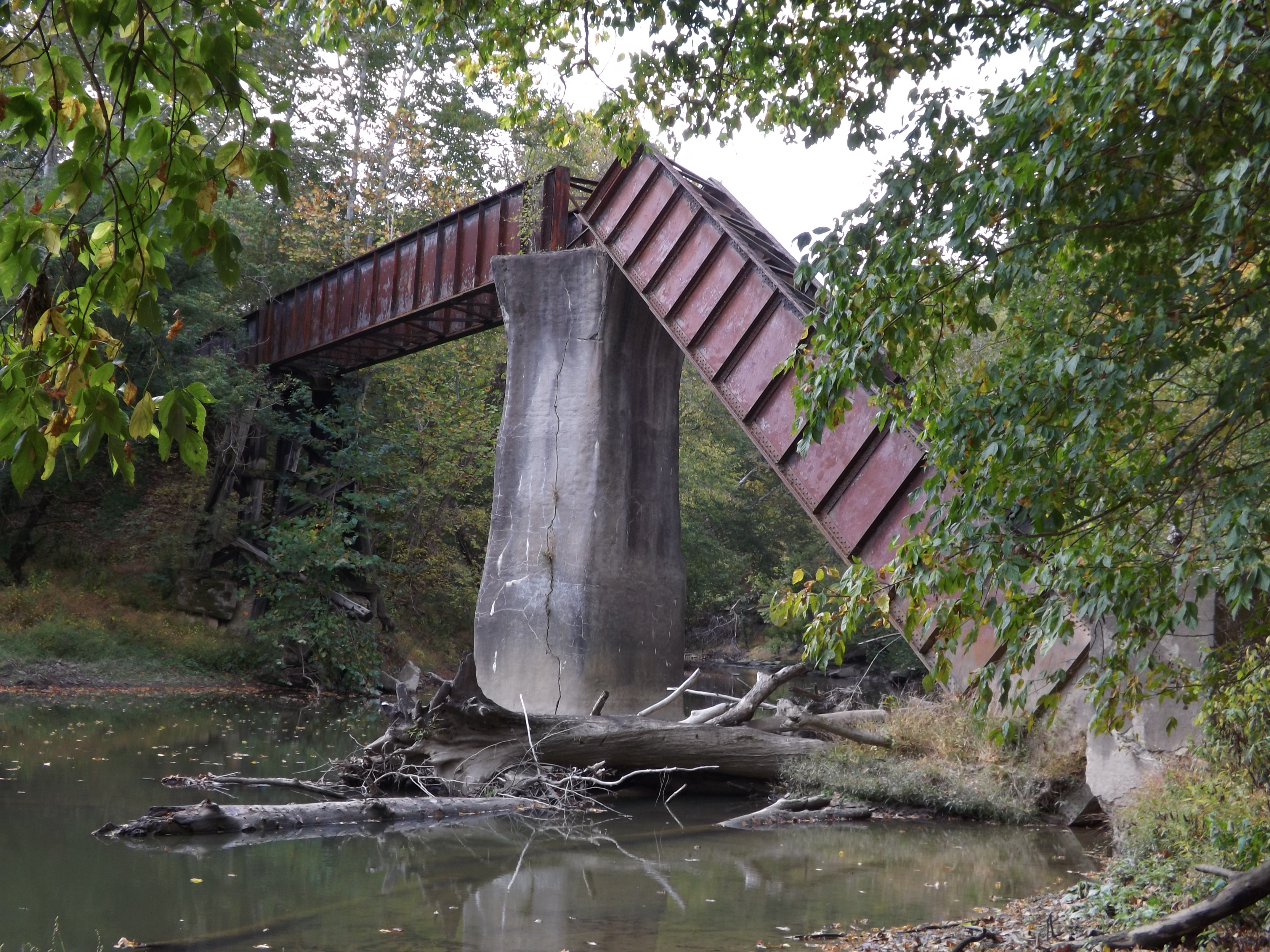
'Big Bridge' at Mather Mine 4of6
View from our Room at the Econo Lodge

IMG_1770-72Ptzl1scTBbLG2

Fog seaping in.

Reservoir in Cokeburg PA
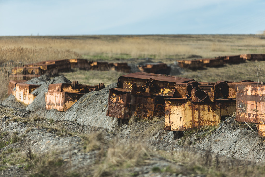
Trail of Rust

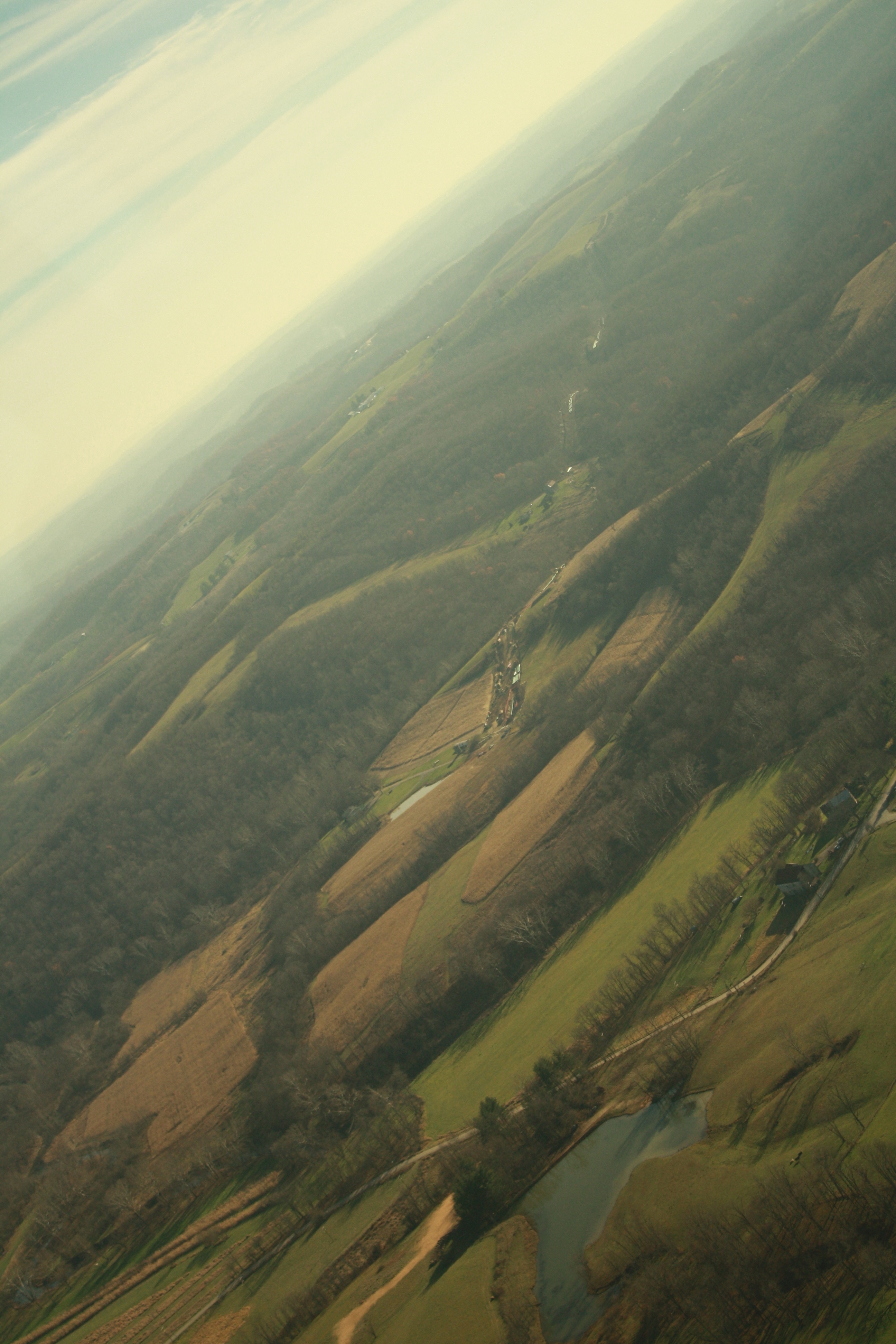
Rolling Panorama

IMG_4767-68PtRzl1scTBbLG

iPhone HDR
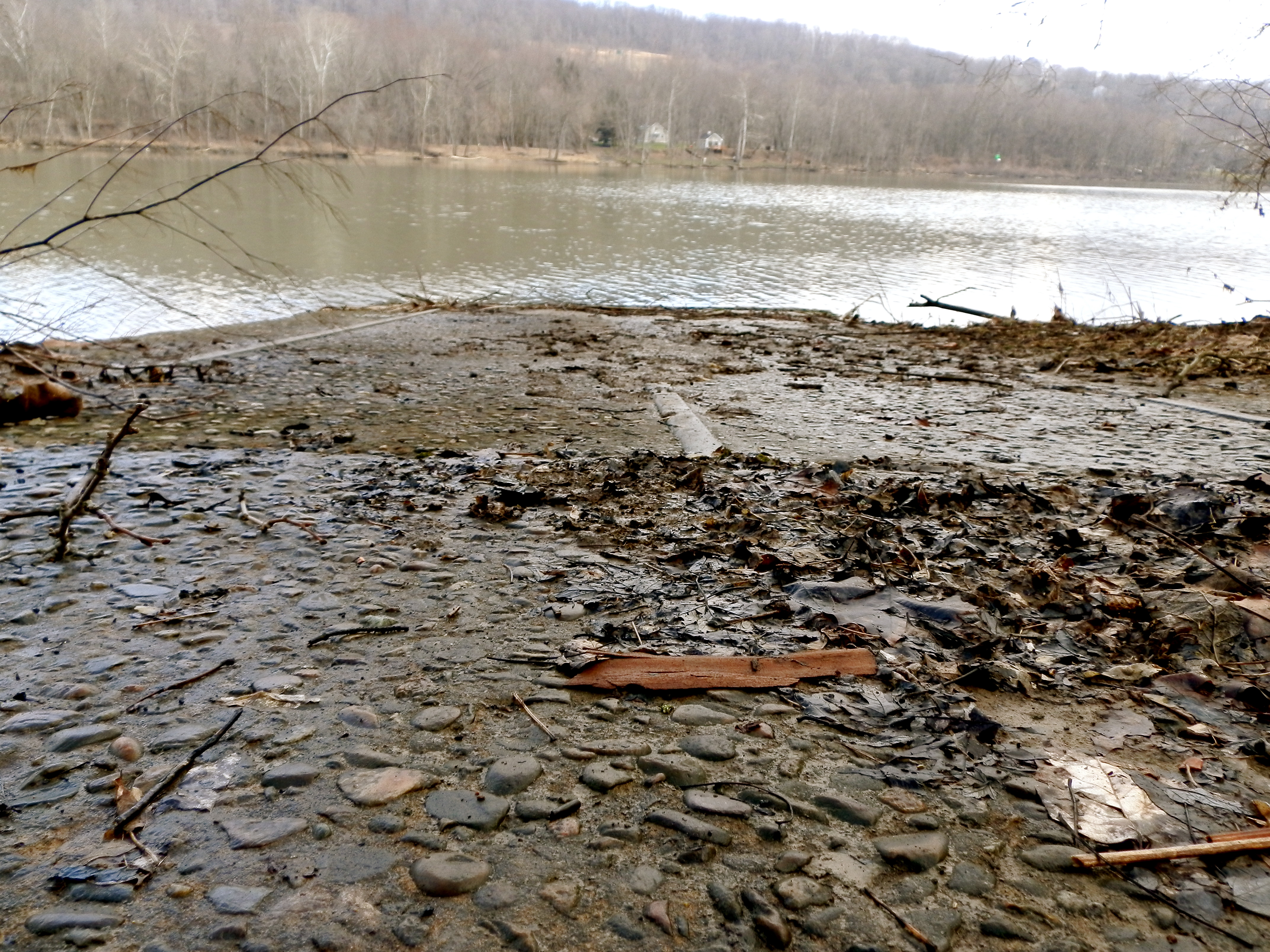
Crucible Ferry landing

Hughes Bridge 1889
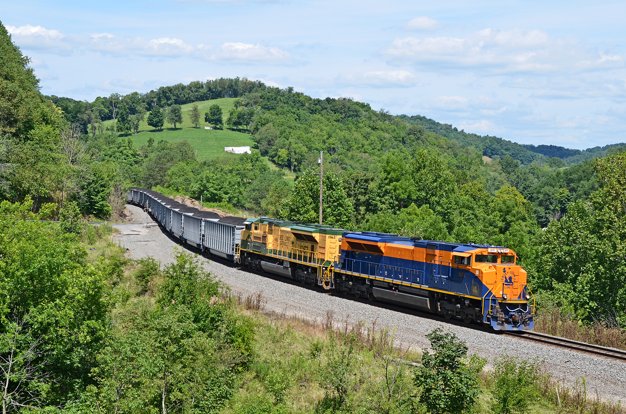
CNJ-RDG SD70ACe-1071, 1067 N/B N-24 at West Run Rd., Sycamore, PA
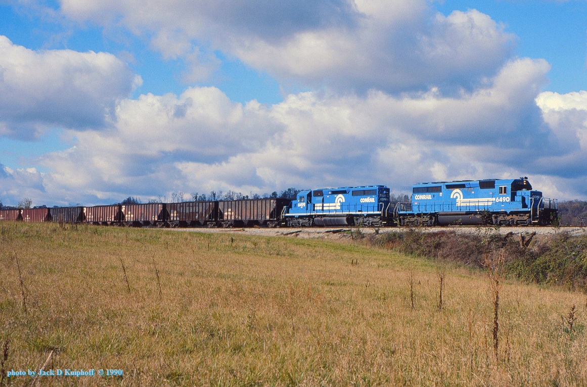
CR 6490-6499, MGA, Clarksville, PA. 10-28-1990

Apple Orchard

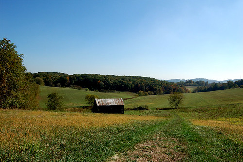
A field
Day 11 - Going Home

Bridge 843-24
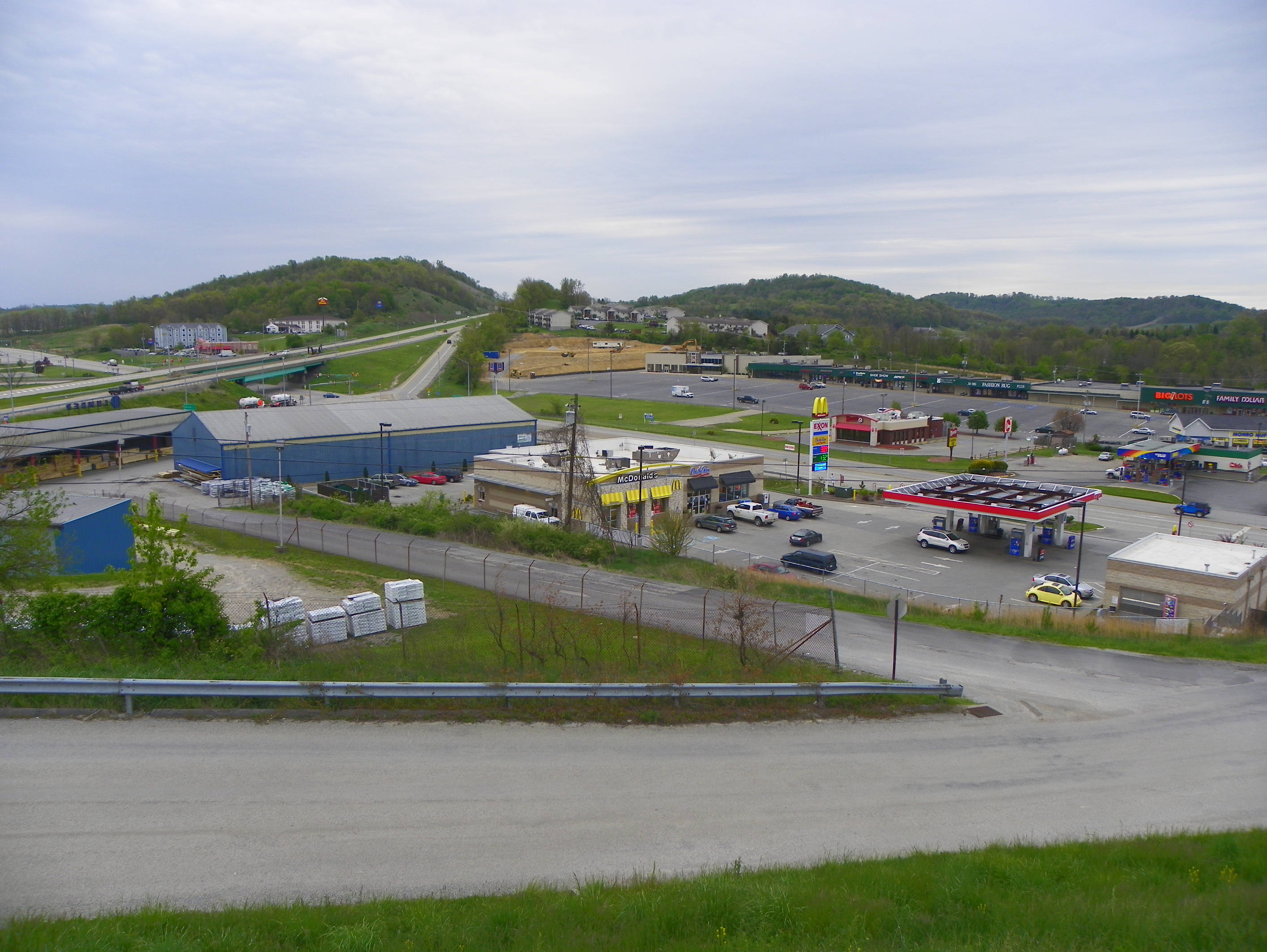
Scenery Hill
New Pipeline
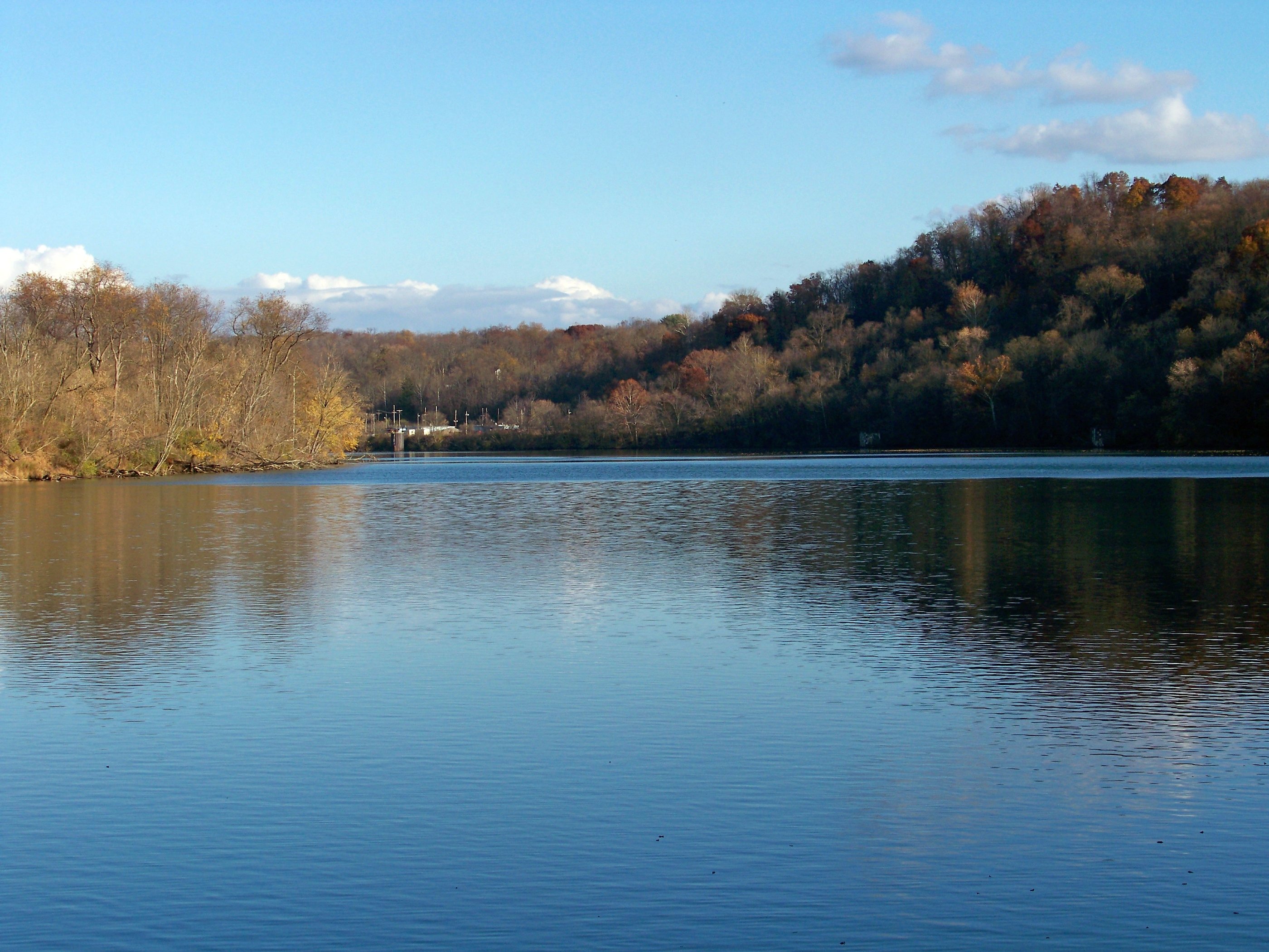
Monongahela River
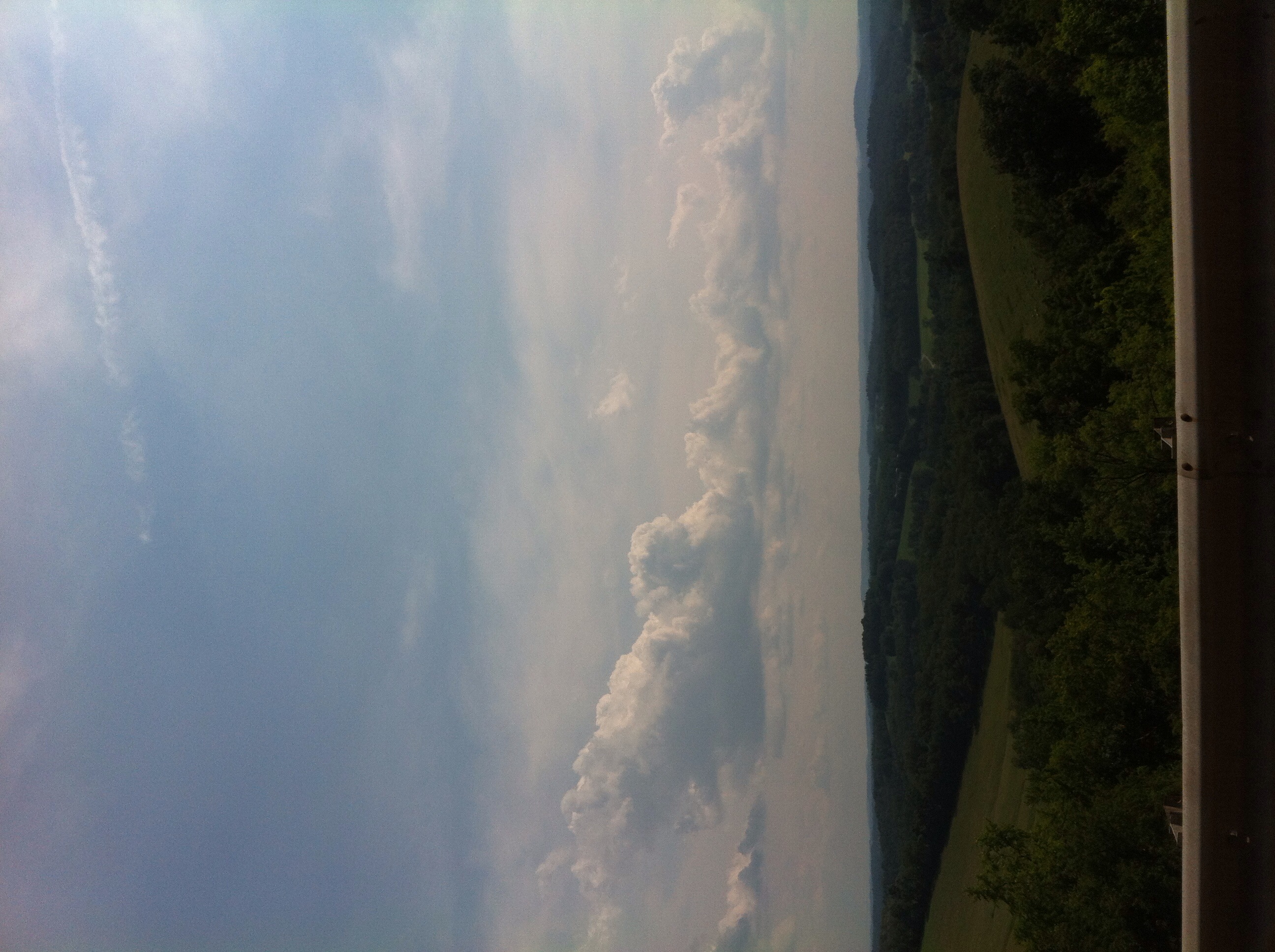
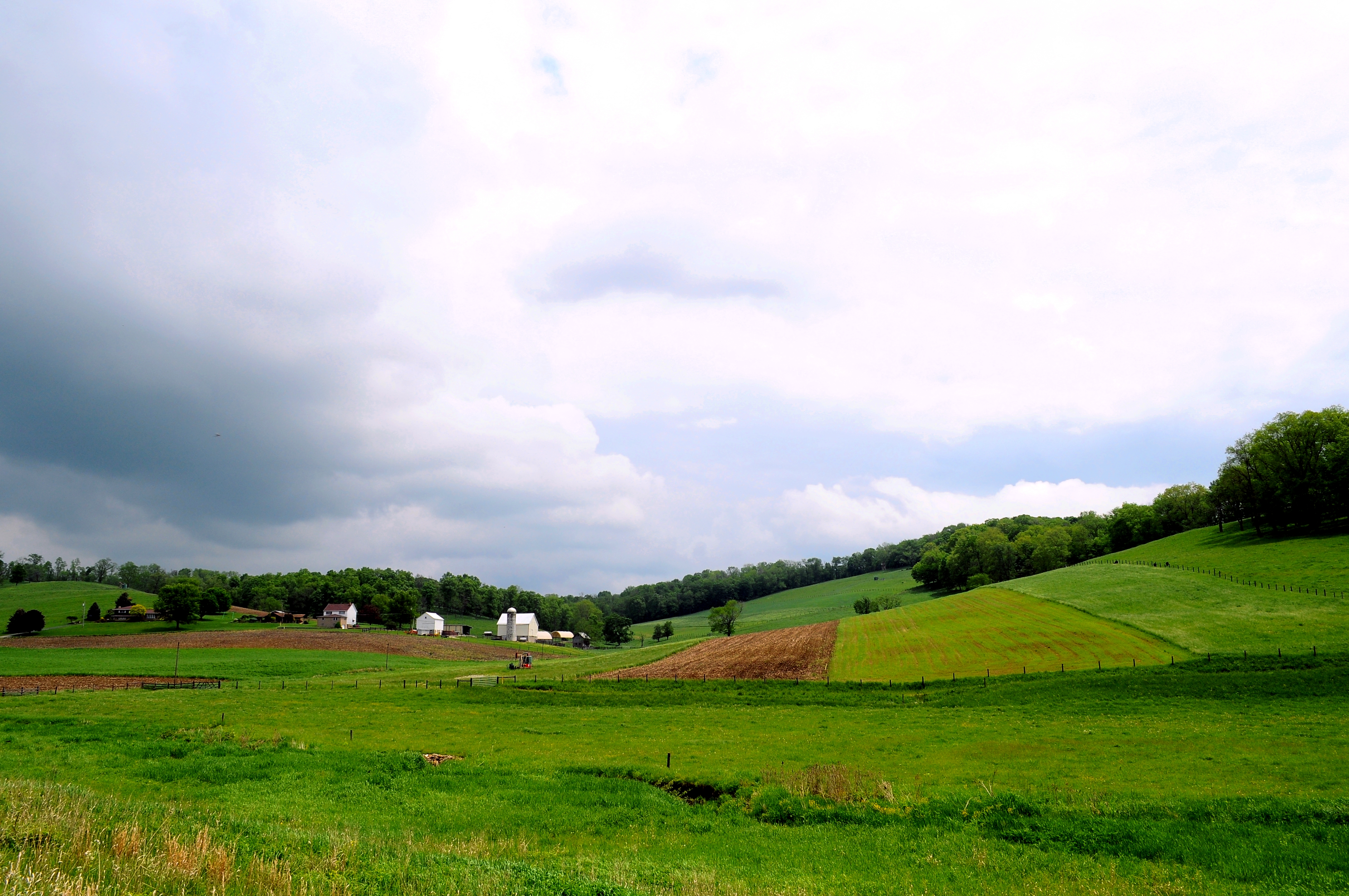
Farms and the country
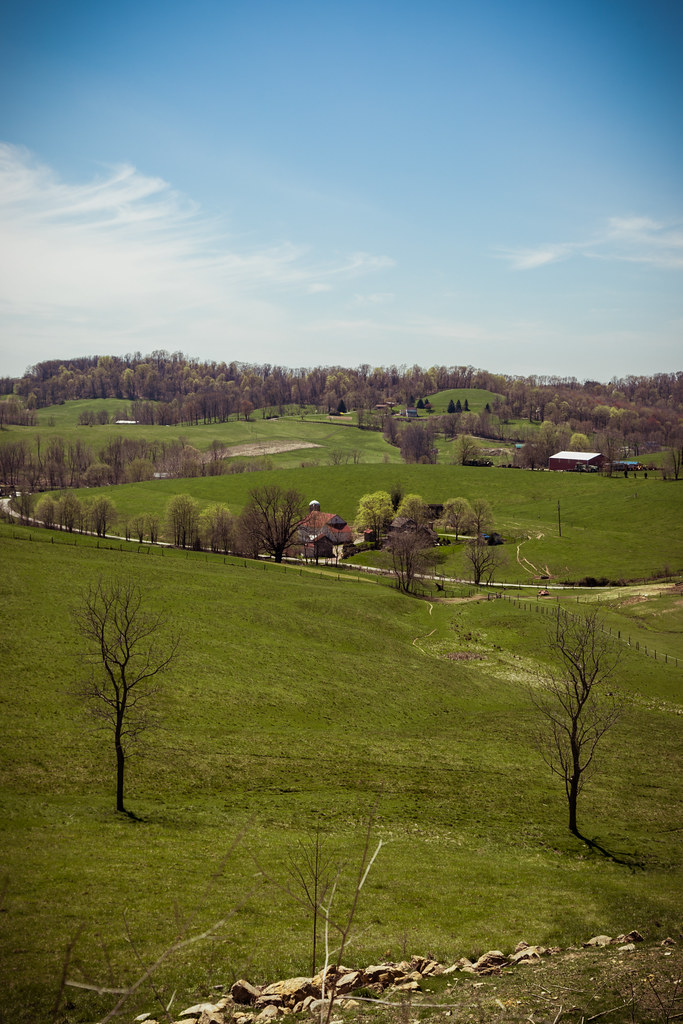
just over the hill
Topographic Map of 10 Mile Rd, Marianna, PA, USA
Find elevation by address:

Places near 10 Mile Rd, Marianna, PA, USA:
Marianna, PA, USA
Castile Run Rd, Waynesburg, PA, USA
Marianna
5-1
Morgan Township
Braden Run Road
Clarksville
Deemston
Jefferson
Barnard Rd, Fredericktown, PA, USA
East Bethlehem Township
Beallsville
Jefferson, PA, USA
Fredericktown
East Millsboro
Richeyville
National Pike, Richeyville, PA, USA
49 Emery Rd
Monongahela River
Rices Landing
Recent Searches:
- Elevation of Corso Fratelli Cairoli, 35, Macerata MC, Italy
- Elevation of Tallevast Rd, Sarasota, FL, USA
- Elevation of 4th St E, Sonoma, CA, USA
- Elevation of Black Hollow Rd, Pennsdale, PA, USA
- Elevation of Oakland Ave, Williamsport, PA, USA
- Elevation of Pedrógão Grande, Portugal
- Elevation of Klee Dr, Martinsburg, WV, USA
- Elevation of Via Roma, Pieranica CR, Italy
- Elevation of Tavkvetili Mountain, Georgia
- Elevation of Hartfords Bluff Cir, Mt Pleasant, SC, USA