Elevation map of Zululand DC, South Africa
Location: South Africa > Kwazulu-natal >
Longitude: 31.4456179
Latitude: -27.887225
Elevation: 544m / 1785feet
Barometric Pressure: 95KPa
Elevation Map:
Satellite Map:
Related Photos:
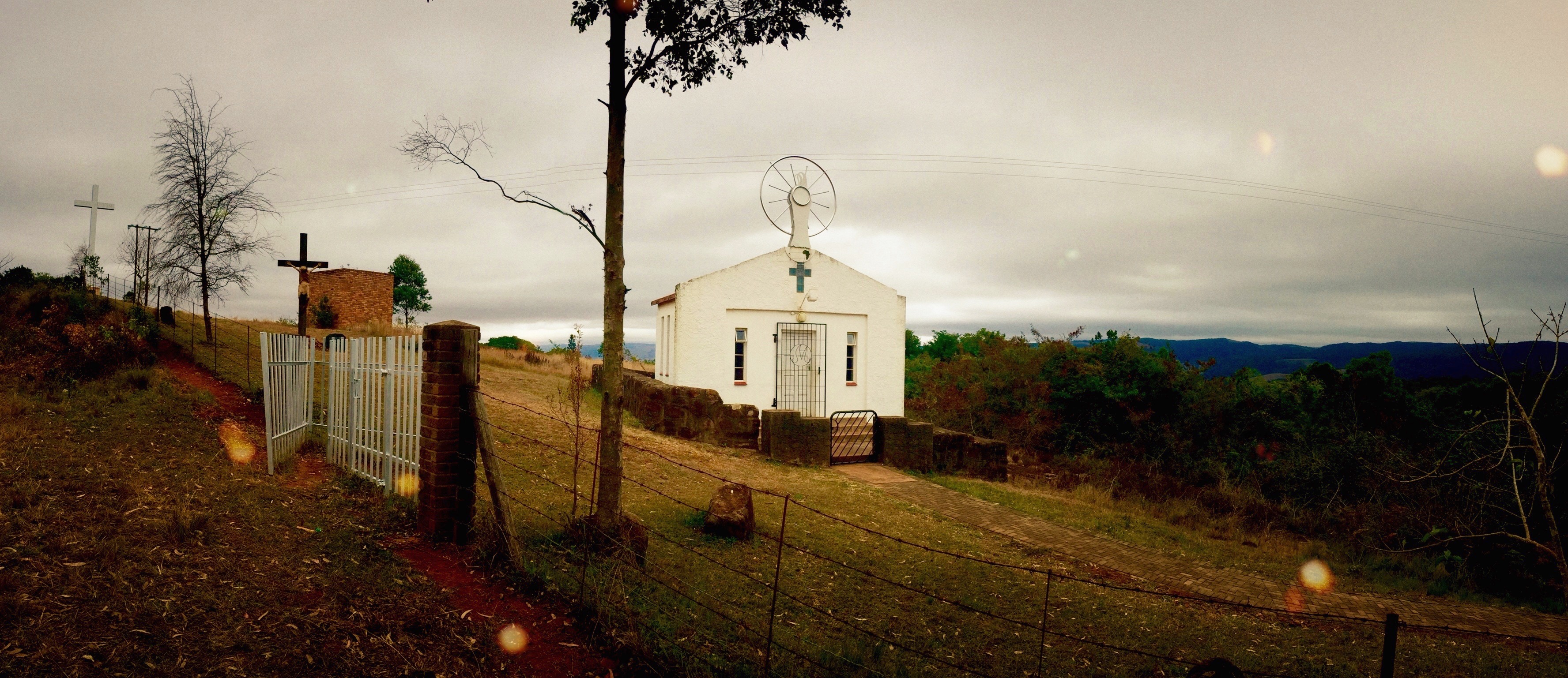
Marian shrine in the hills of Ngome in Zululand.
Topographic Map of Zululand DC, South Africa
Find elevation by address:

Places in Zululand DC, South Africa:
Places near Zululand DC, South Africa:
Pongola
Komvoorhoogte
Abaqulusi Municipality
Lenjanedrif
Pongola
Godeni
Hilltop Camp Ezemvelo Kzn Wildlife
Mkuze
Thanda Safari - Big 5 Game Reserve
Sungulwane
Nhlangano
Hluhluwe
Shiselweni Region
Lubombo Region
Ubombo Country Club
Recent Searches:
- Elevation of Tenjo, Cundinamarca, Colombia
- Elevation of Côte-des-Neiges, Montreal, QC H4A 3J6, Canada
- Elevation of Bobcat Dr, Helena, MT, USA
- Elevation of Zu den Ihlowbergen, Althüttendorf, Germany
- Elevation of Badaber, Peshawar, Khyber Pakhtunkhwa, Pakistan
- Elevation of SE Heron Loop, Lincoln City, OR, USA
- Elevation of Slanický ostrov, 01 Námestovo, Slovakia
- Elevation of Spaceport America, Co Rd A, Truth or Consequences, NM, USA
- Elevation of Warwick, RI, USA
- Elevation of Fern Rd, Whitmore, CA, USA