Elevation map of Abaqulusi Municipality, South Africa
Location: South Africa > Kwazulu-natal > Zululand Dc >
Longitude: 30.9876321
Latitude: -27.74898
Elevation: 1255m / 4117feet
Barometric Pressure: 87KPa
Elevation Map:
Satellite Map:
Related Photos:

The spot from which Zulu snipers killed Campbell & Lloyd at Hlobane

Re-entrant on the NW Wall of Hlobane Mountain
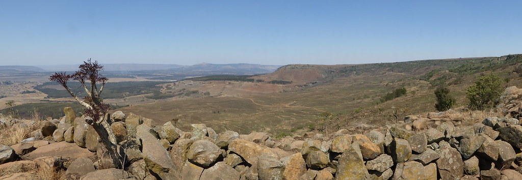
Wall on the Hlobane Plateau
Blue is the colour

Memorial to Campbell & Lloyd - Hlobane Battlefield
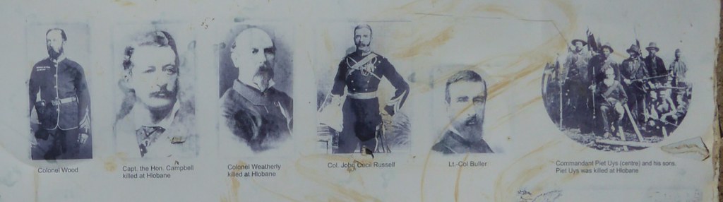
Battle of Hlobane - Key Players

Map of the Battle of Hlobane

66.2007

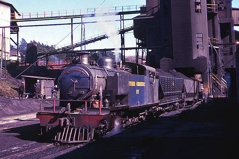
Drive-by Shooting
Topographic Map of Abaqulusi Municipality, South Africa
Find elevation by address:

Places near Abaqulusi Municipality, South Africa:
Lenjanedrif
Komvoorhoogte
Zululand Dc
Pongola
Nhlangano
Pongola
Shiselweni Region
Mkuze
Godeni
Hilltop Camp Ezemvelo Kzn Wildlife
Thanda Safari - Big 5 Game Reserve
Sungulwane
Lubombo Region
Hluhluwe
Ubombo Country Club
Recent Searches:
- Elevation of Elwyn Dr, Roanoke Rapids, NC, USA
- Elevation of Congressional Dr, Stevensville, MD, USA
- Elevation of Bellview Rd, McLean, VA, USA
- Elevation of Stage Island Rd, Chatham, MA, USA
- Elevation of Shibuya Scramble Crossing, 21 Udagawacho, Shibuya City, Tokyo -, Japan
- Elevation of Jadagoniai, Kaunas District Municipality, Lithuania
- Elevation of Pagonija rock, Kranto 7-oji g. 8"N, Kaunas, Lithuania
- Elevation of Co Rd 87, Jamestown, CO, USA
- Elevation of Tenjo, Cundinamarca, Colombia
- Elevation of Côte-des-Neiges, Montreal, QC H4A 3J6, Canada